Elevation of Route, Venosta, QC J0X 3E0, Canada
Location: Canada > Québec > La Vallée-de-la-gatineau Regional County Municipality > Low > Venosta >
Longitude: -76.023394
Latitude: 45.8722513
Elevation: 159m / 522feet
Barometric Pressure: 99KPa
Elevation Map:
Satellite Map:
Related Photos:
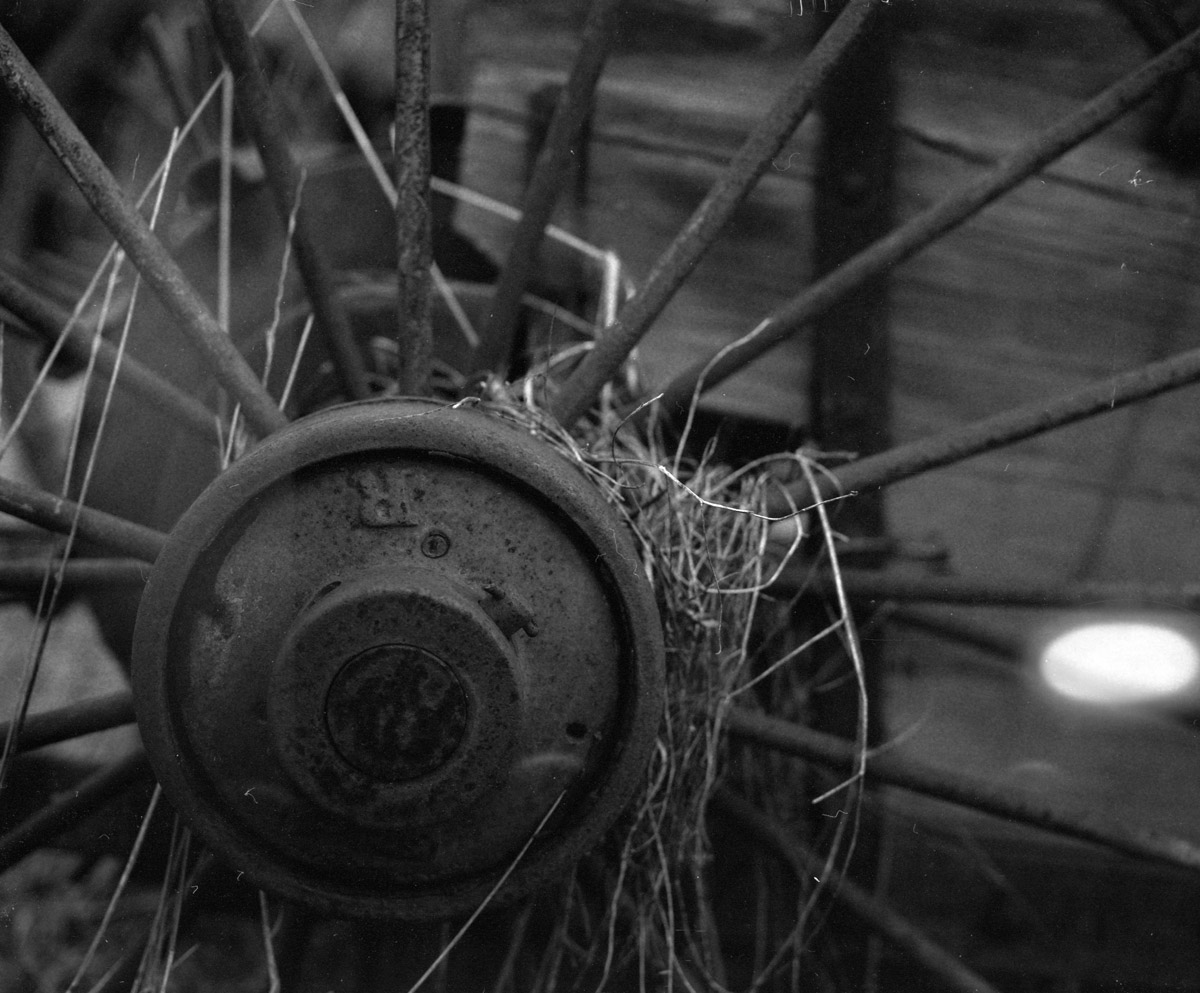
The wheels on the cart go round n' round...
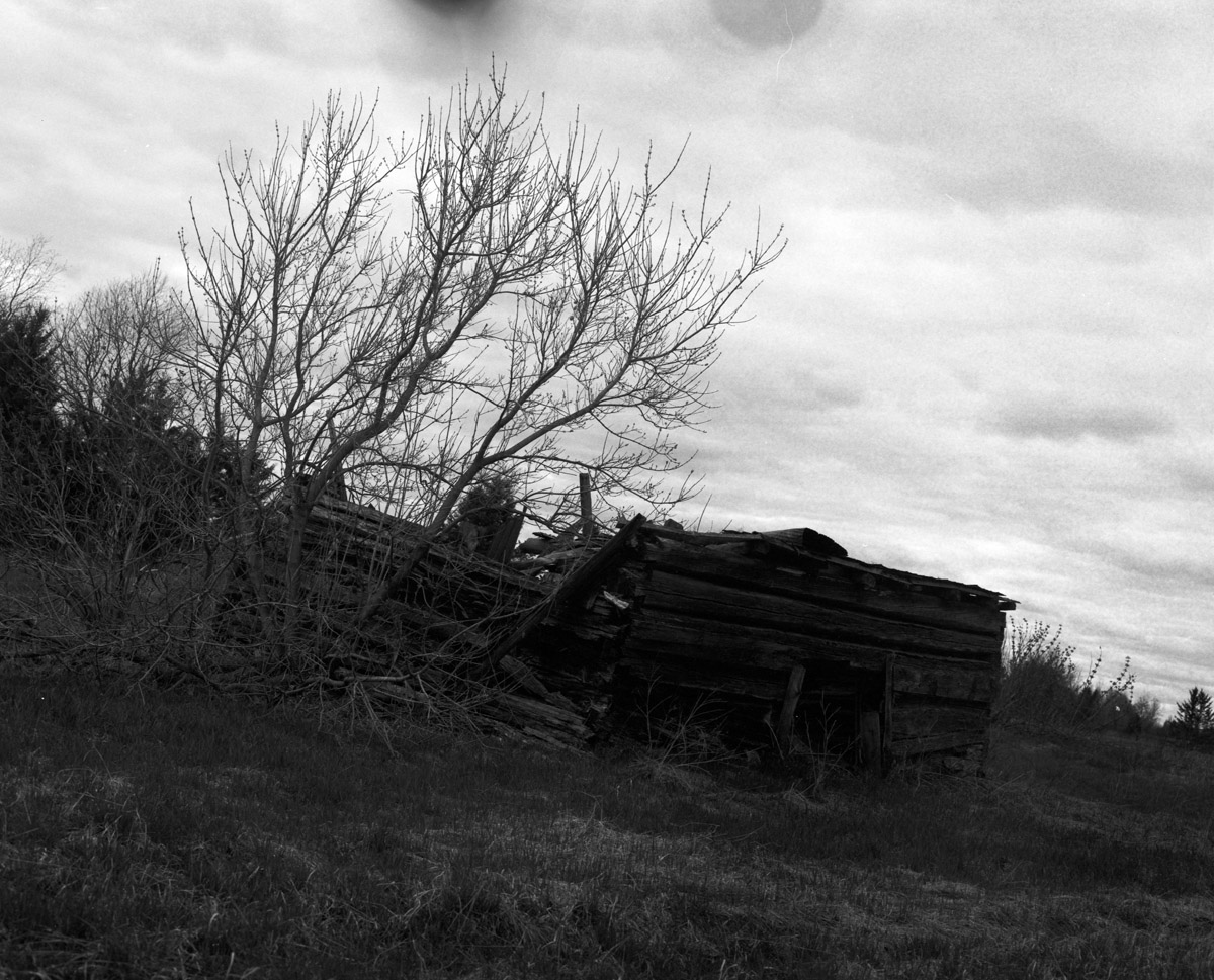
This place has seen better days
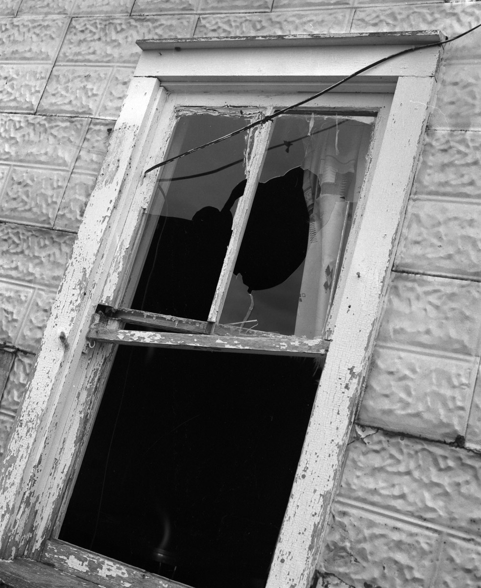
Well ventilated
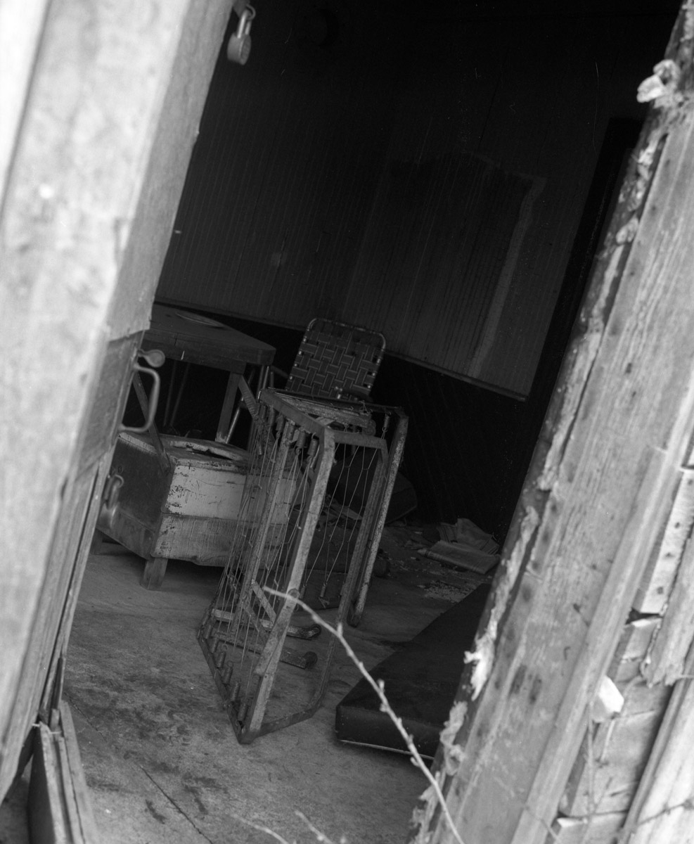
Time for some interior design...

Sign of the Times
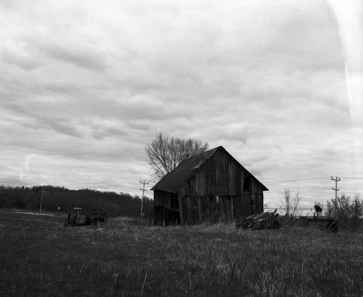
More abandoned goodness
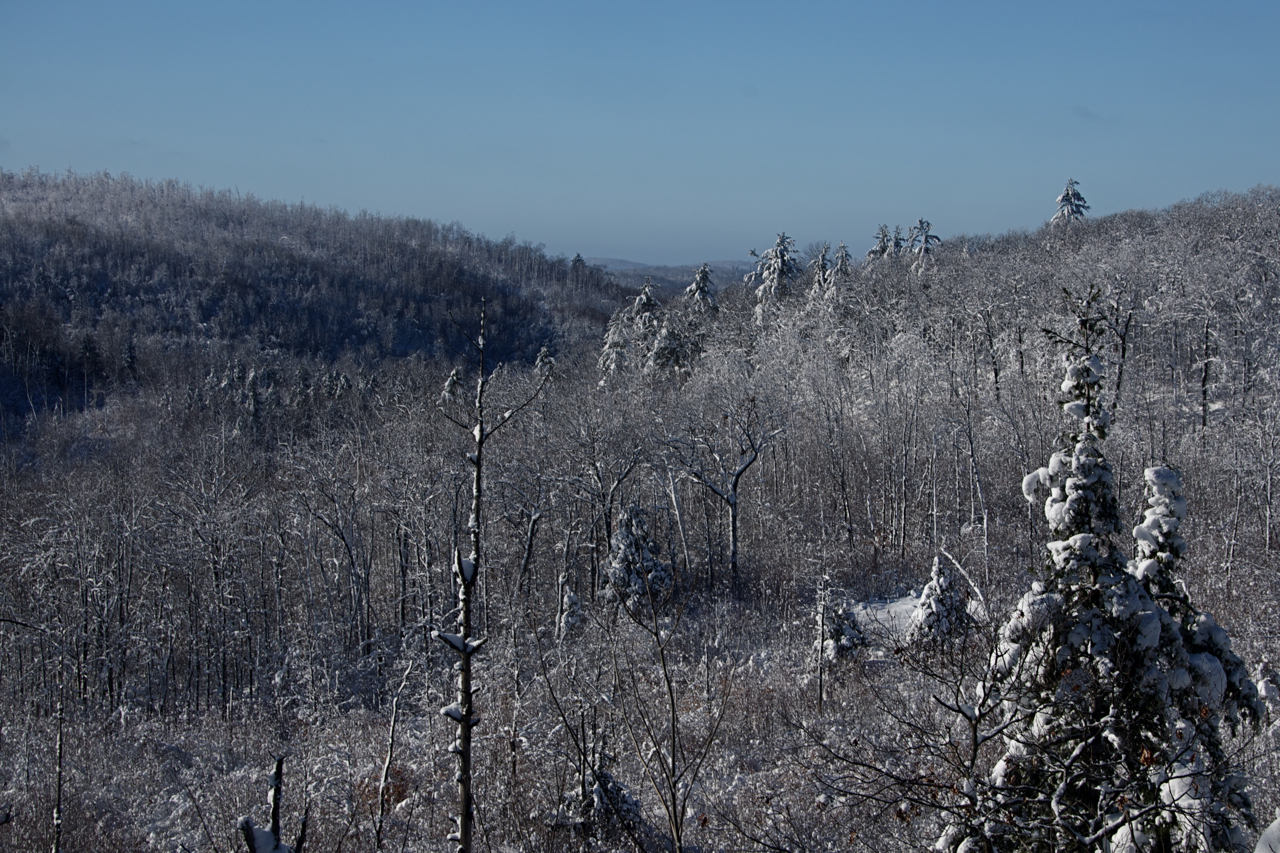
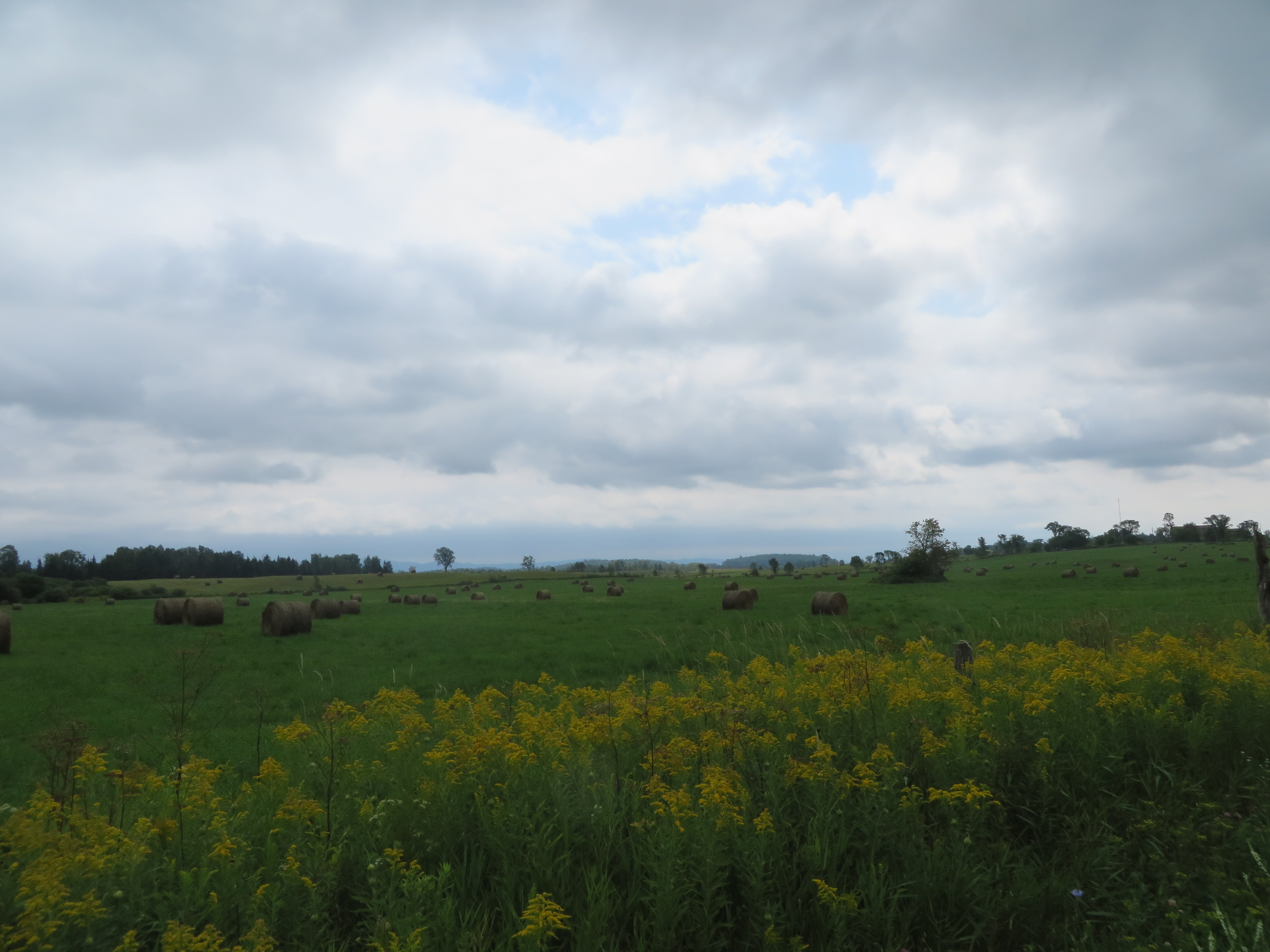
valley view
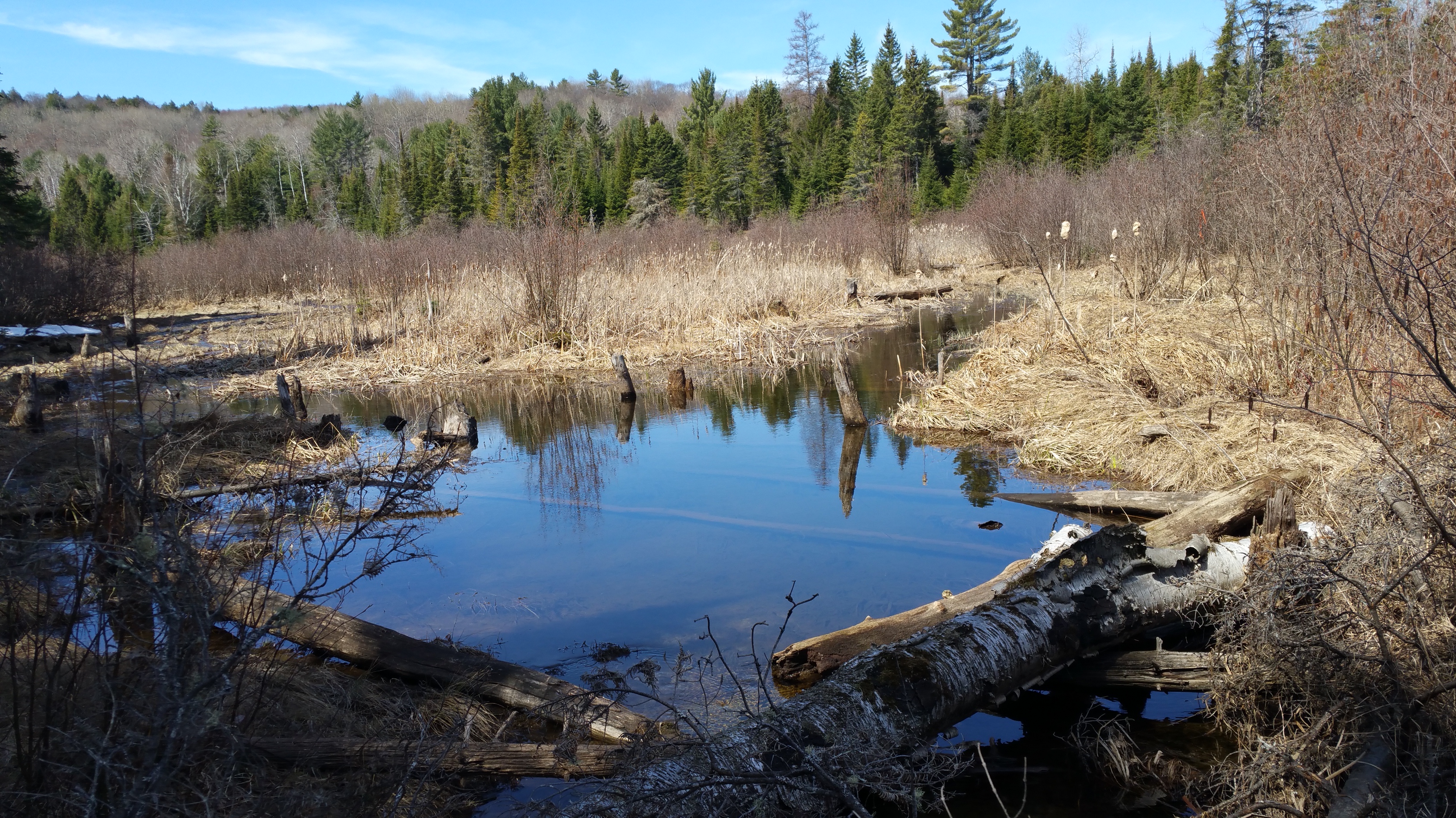
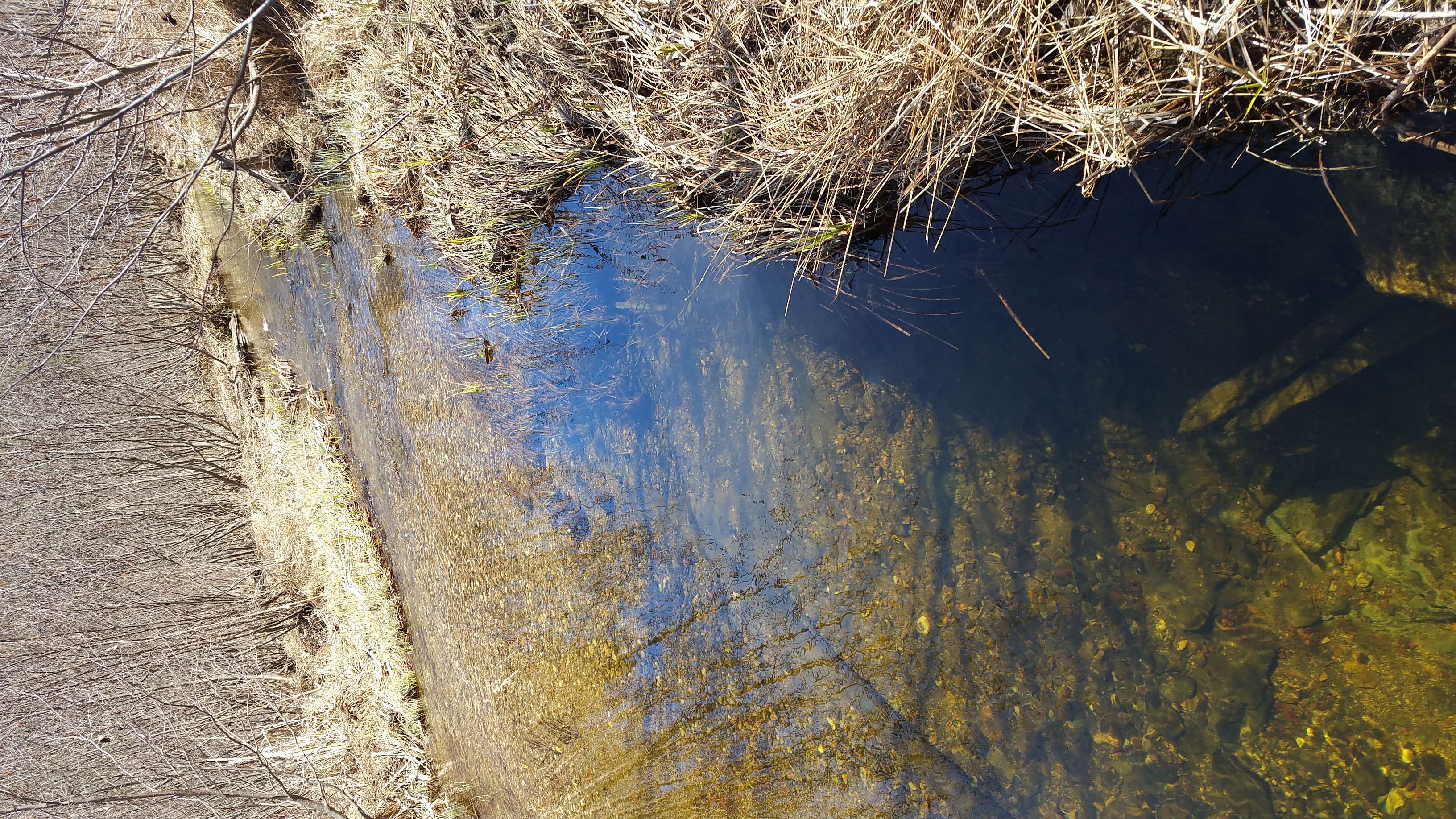
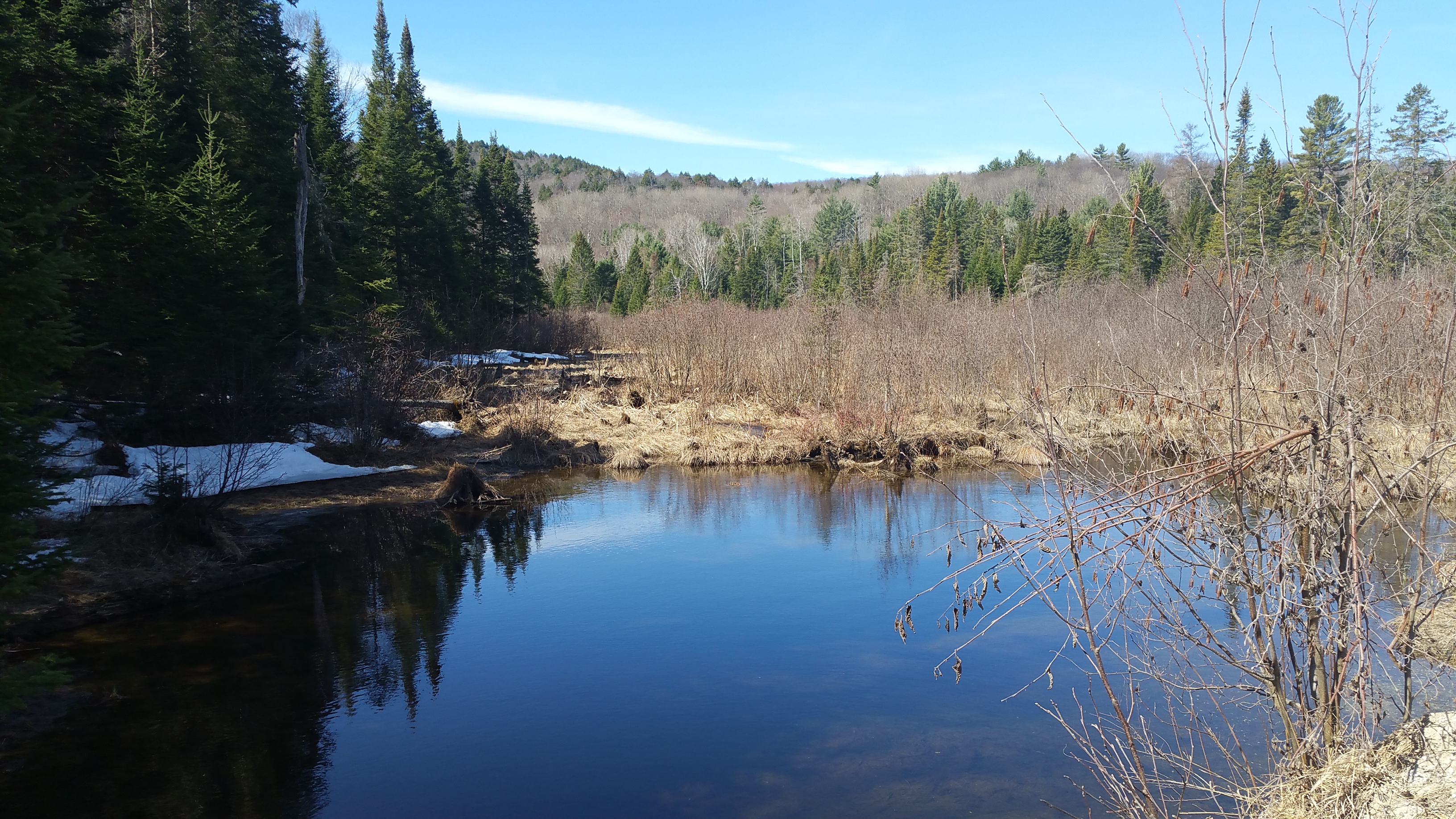
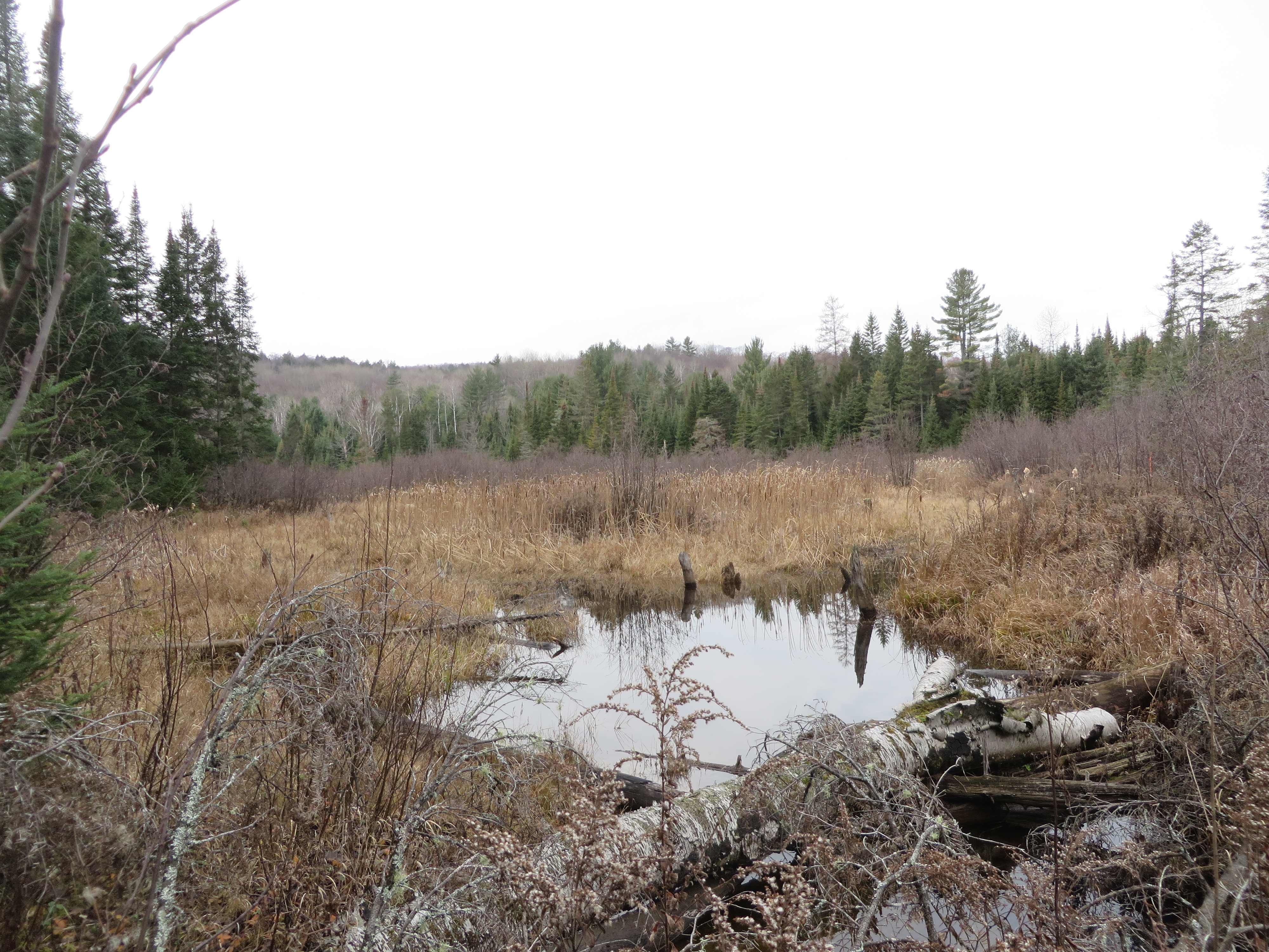
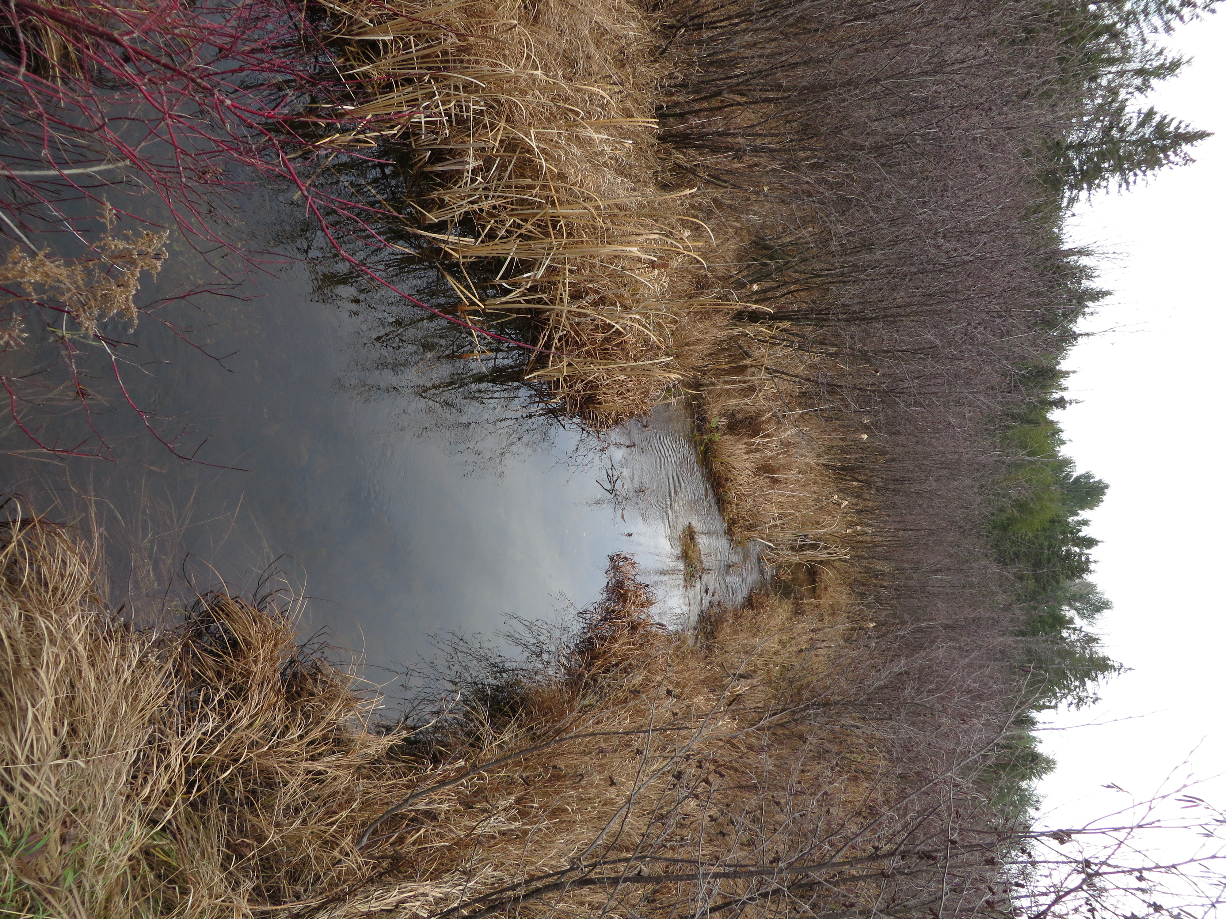
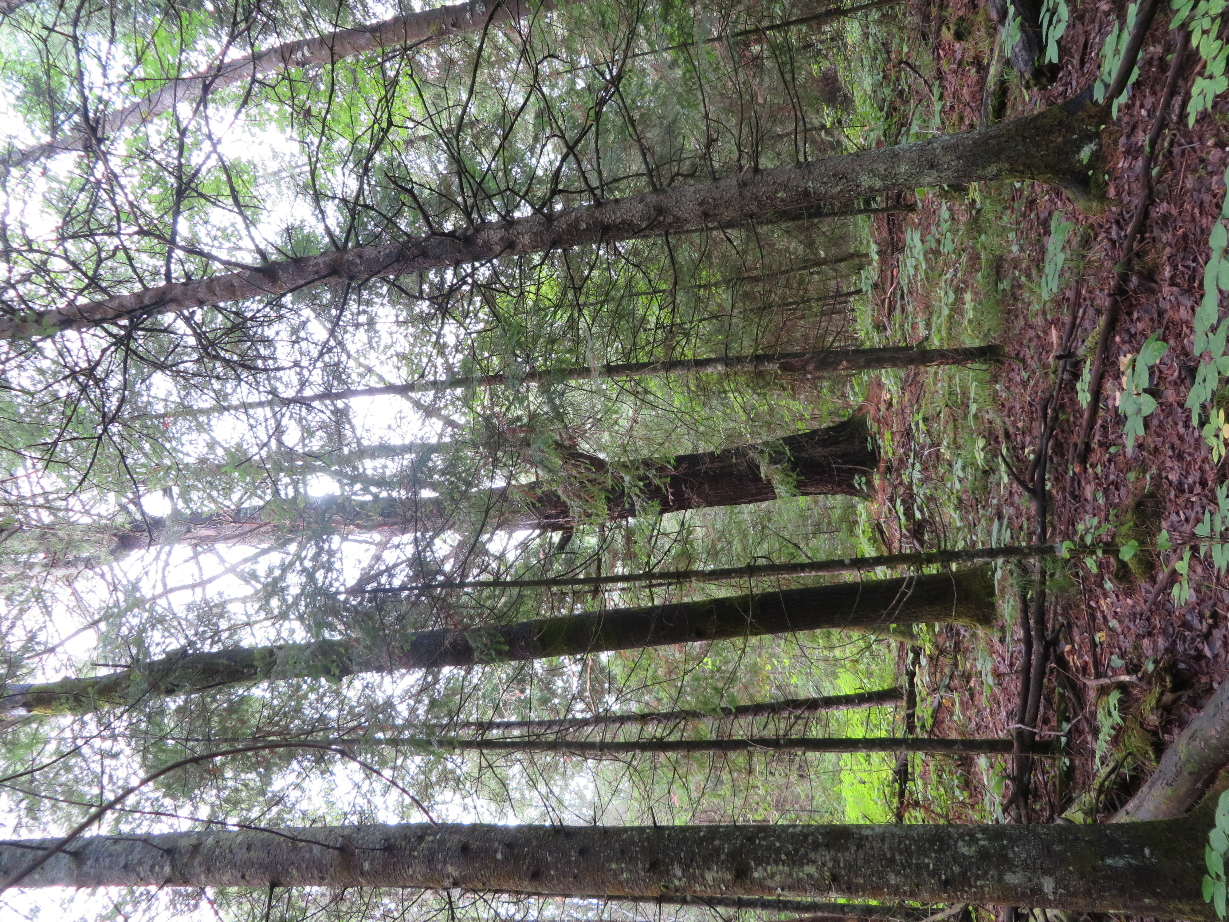
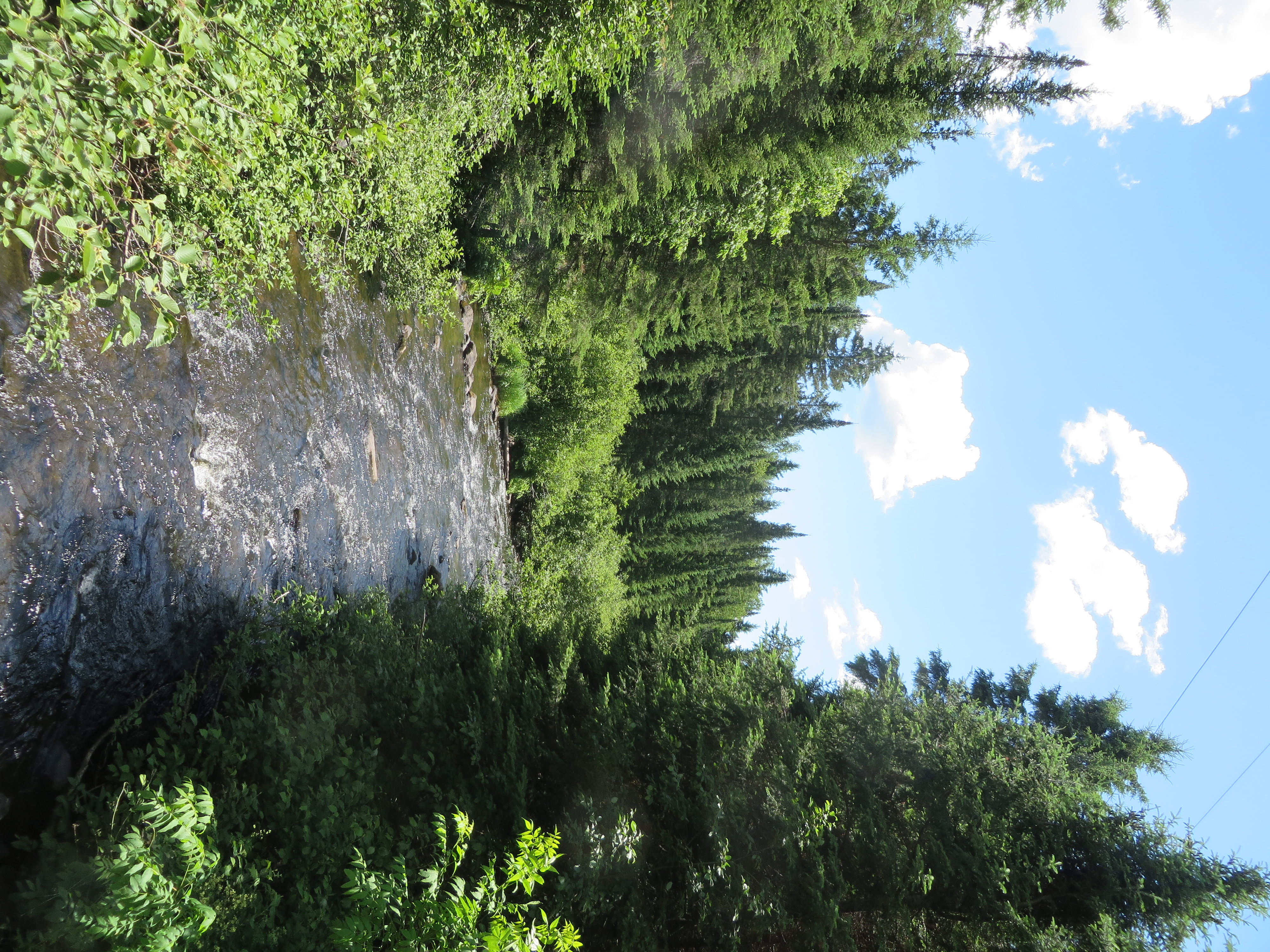
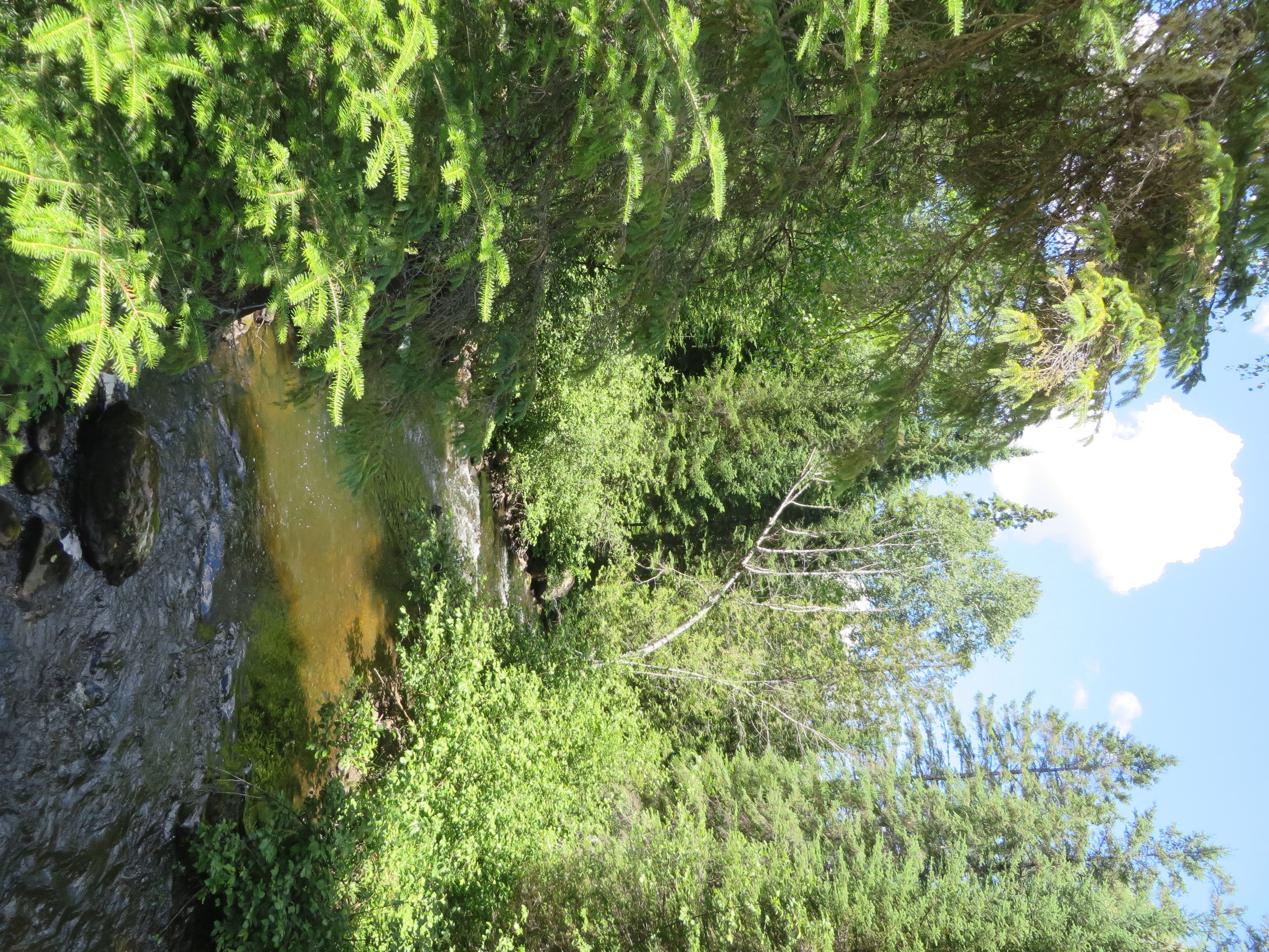
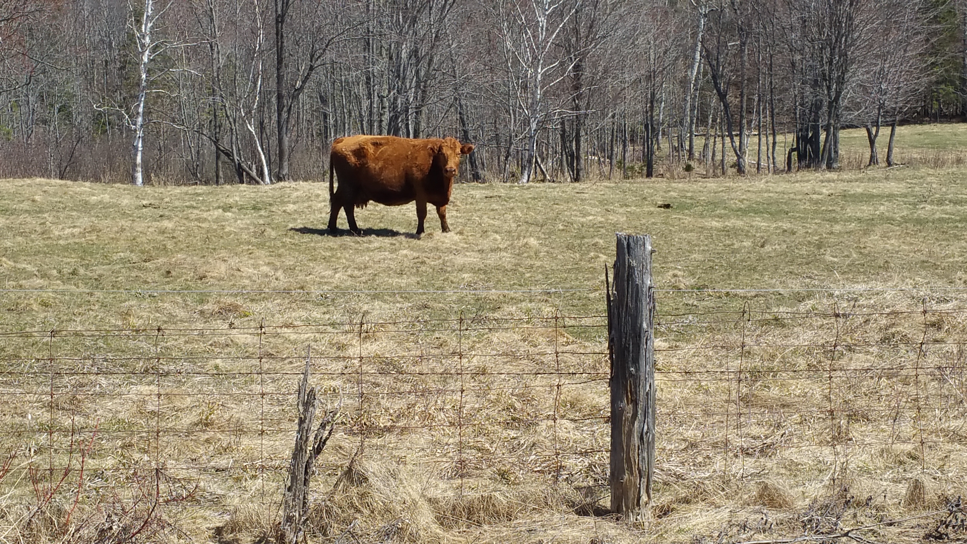
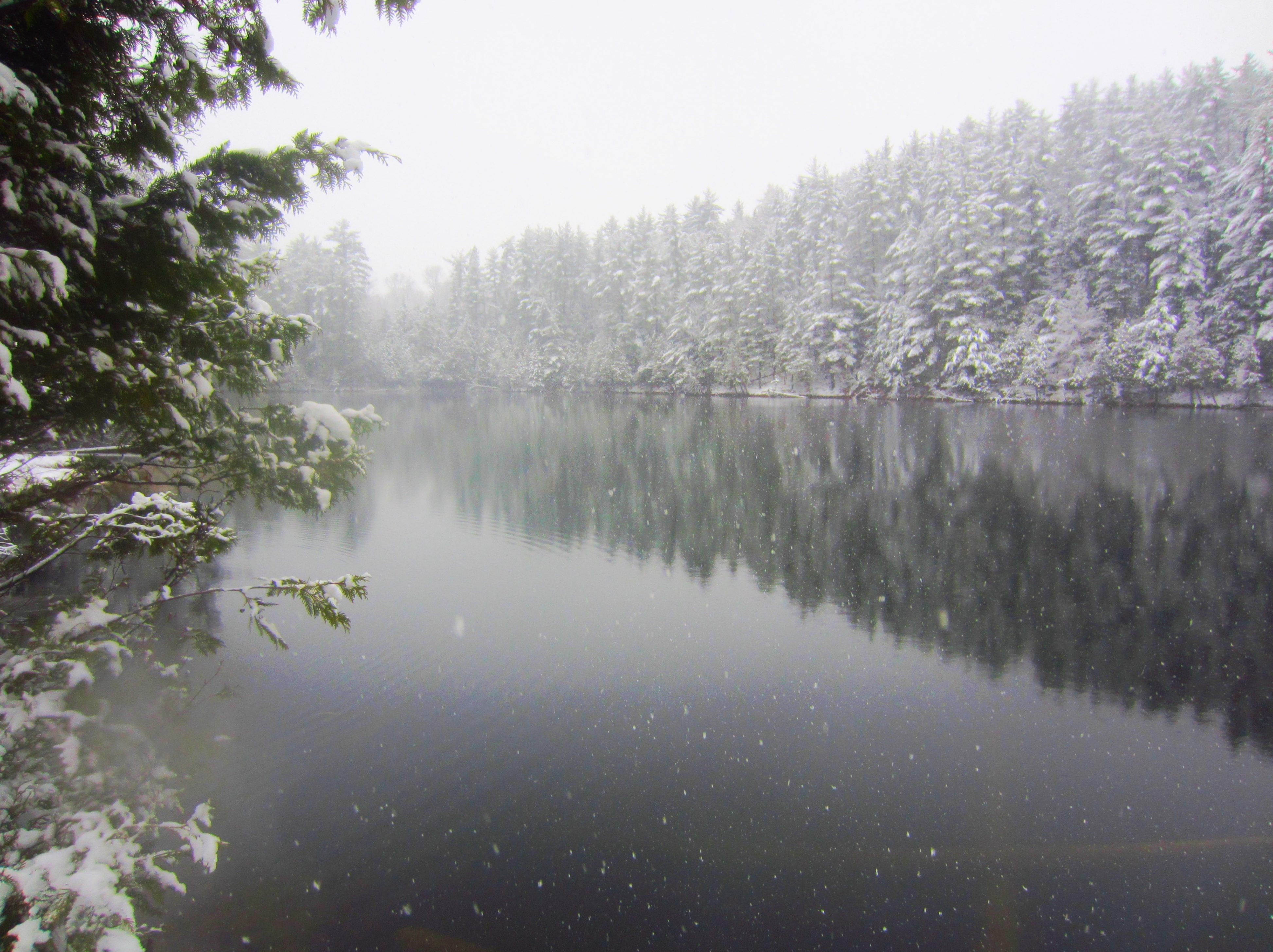
Low, Québec

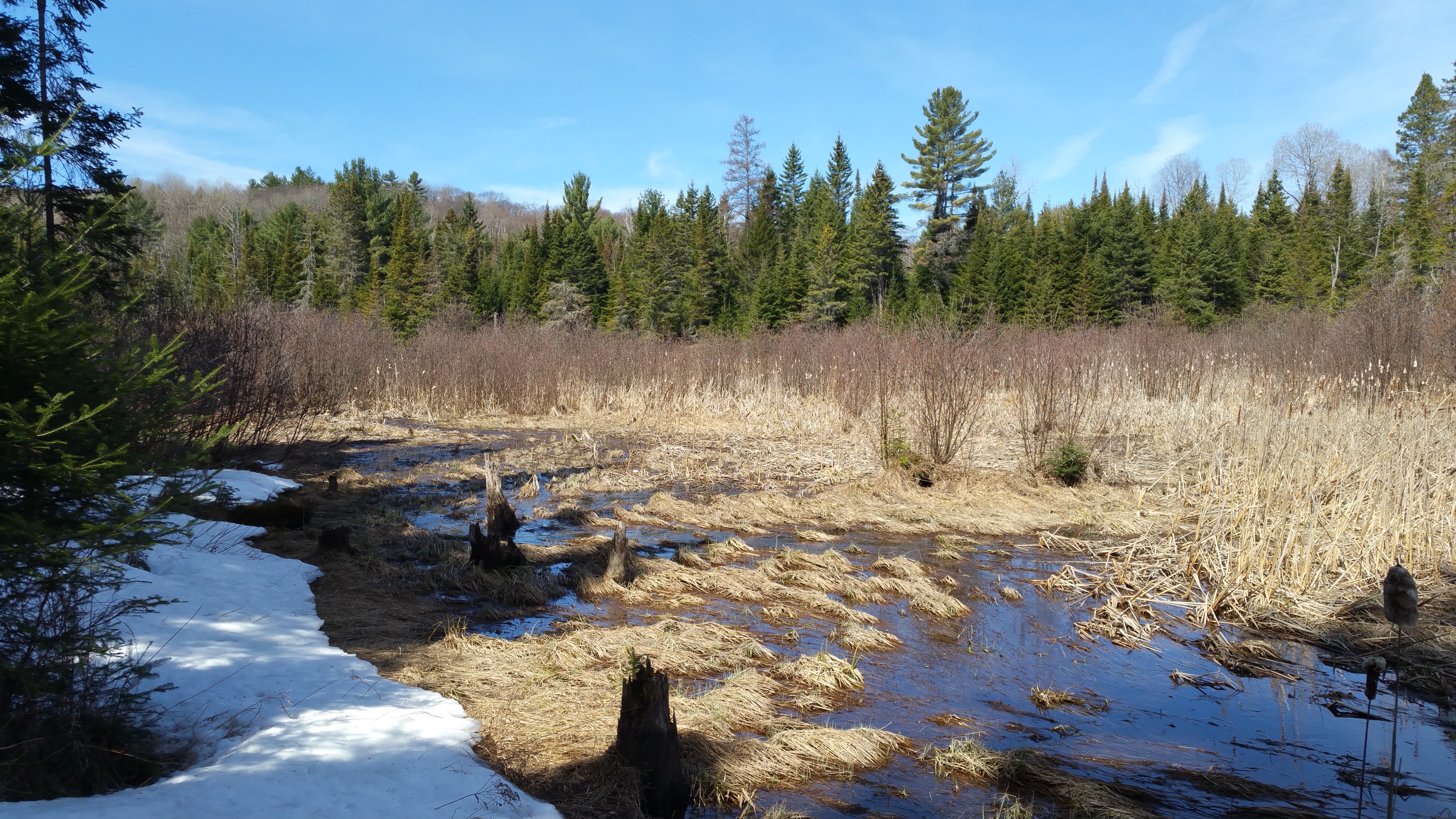
Big Sky
Low, Québec
Low, Québec
Low, Québec

Low, Québec
Low, Québec
Low, Québec
Low, Québec
Low, Québec
Low, Québec
Low, Québec

Low, Québec

Low, Québec
Low, Québec
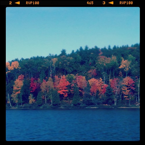
Fall has arrived..

Cousins chillin on the dock
Low, Québec
Lac Demi Lune

Lac de Nino - 1743m
Topographic Map of Route, Venosta, QC J0X 3E0, Canada
Find elevation by address:

Places near Route, Venosta, QC J0X 3E0, Canada:
Venosta
Low
373 Route 105
Kazabazua
Low
Kazabazua
522 Ch Kallala
522 Ch Kallala
77 Chemin du Village d'Aylwin, Kazabazua, QC J0X 1X0, Canada
4 Chemin McDonald, Low, QC J0X 2C0, Canada
100 Chemin Jingletown
Chemin Lamarche
145 Chemin Du Lac Danford E
CH Mulligan Ferry, Kazabazua, QC J0X 1X0, Canada
196 Chemin Du Rapide Faucher
Lac Sinclair
137 Chemin Usher
344 Chemin Lac Sinclair
La Pêche
Chemin De La Dam-brûlé
Recent Searches:
- Elevation of Corso Fratelli Cairoli, 35, Macerata MC, Italy
- Elevation of Tallevast Rd, Sarasota, FL, USA
- Elevation of 4th St E, Sonoma, CA, USA
- Elevation of Black Hollow Rd, Pennsdale, PA, USA
- Elevation of Oakland Ave, Williamsport, PA, USA
- Elevation of Pedrógão Grande, Portugal
- Elevation of Klee Dr, Martinsburg, WV, USA
- Elevation of Via Roma, Pieranica CR, Italy
- Elevation of Tavkvetili Mountain, Georgia
- Elevation of Hartfords Bluff Cir, Mt Pleasant, SC, USA