Elevation of 77 Chemin du Village d'Aylwin, Kazabazua, QC J0X 1X0, Canada
Location: Canada > Québec > La Vallée-de-la-gatineau Regional County Municipality > Kazabazua > Kazabazua >
Longitude: -76.021513
Latitude: 45.984628
Elevation: 142m / 466feet
Barometric Pressure: 100KPa
Elevation Map:
Satellite Map:
Related Photos:
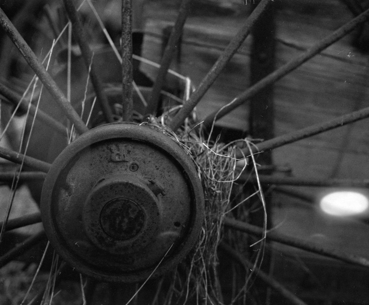
The wheels on the cart go round n' round...
More abandoned goodness
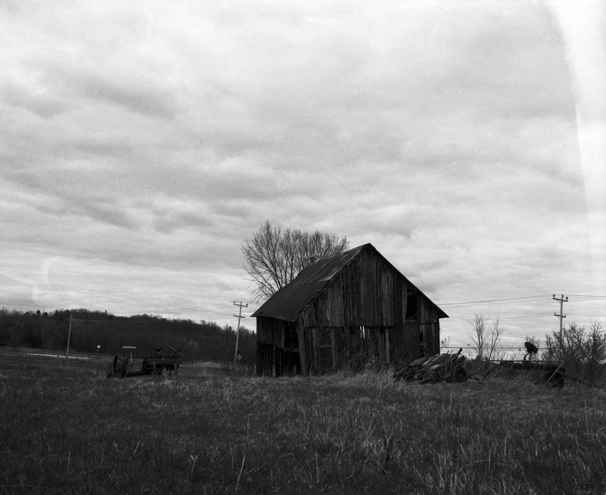
This place has seen better days
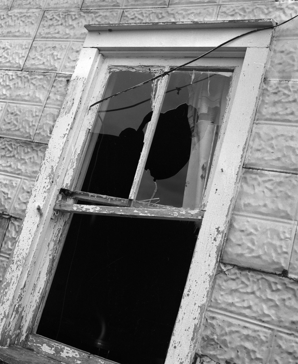
Well ventilated
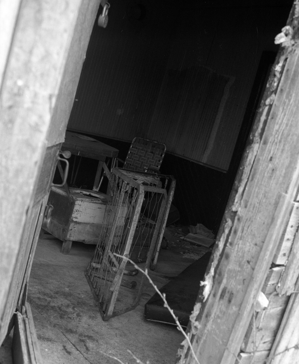
Time for some interior design...

Les amoureux du ponton
Mont Ste. Marie
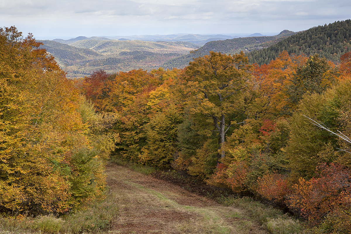
Quebec Autumn
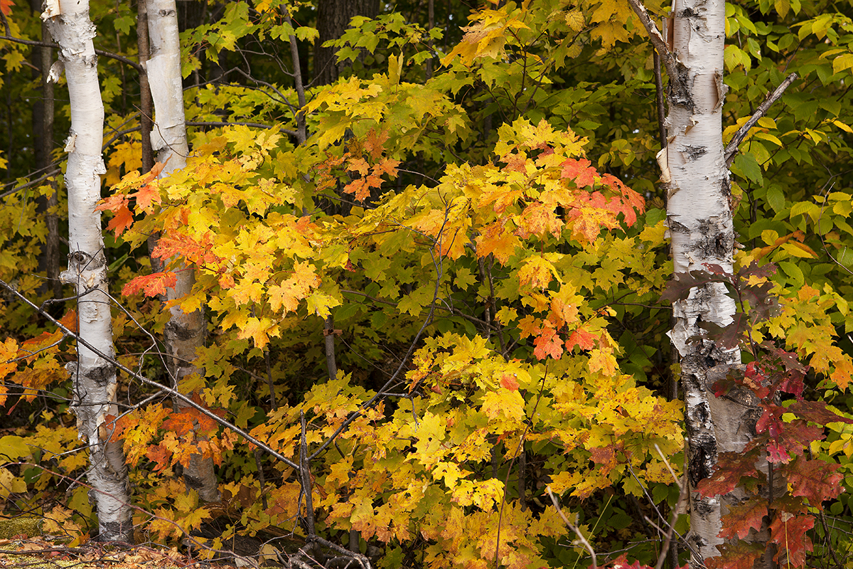
Fall Birch Trees

Prêts au changement???......
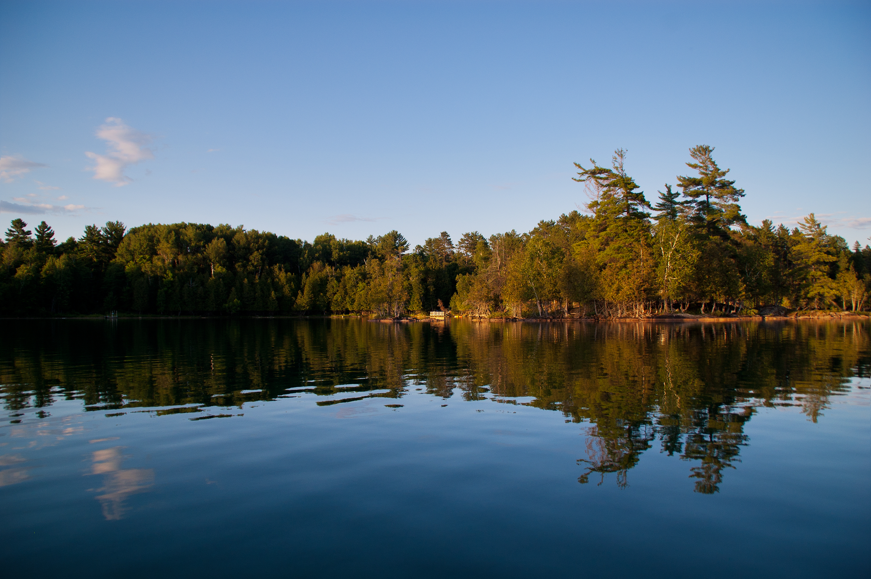
Lac Paquin, Gracefield, Quebec
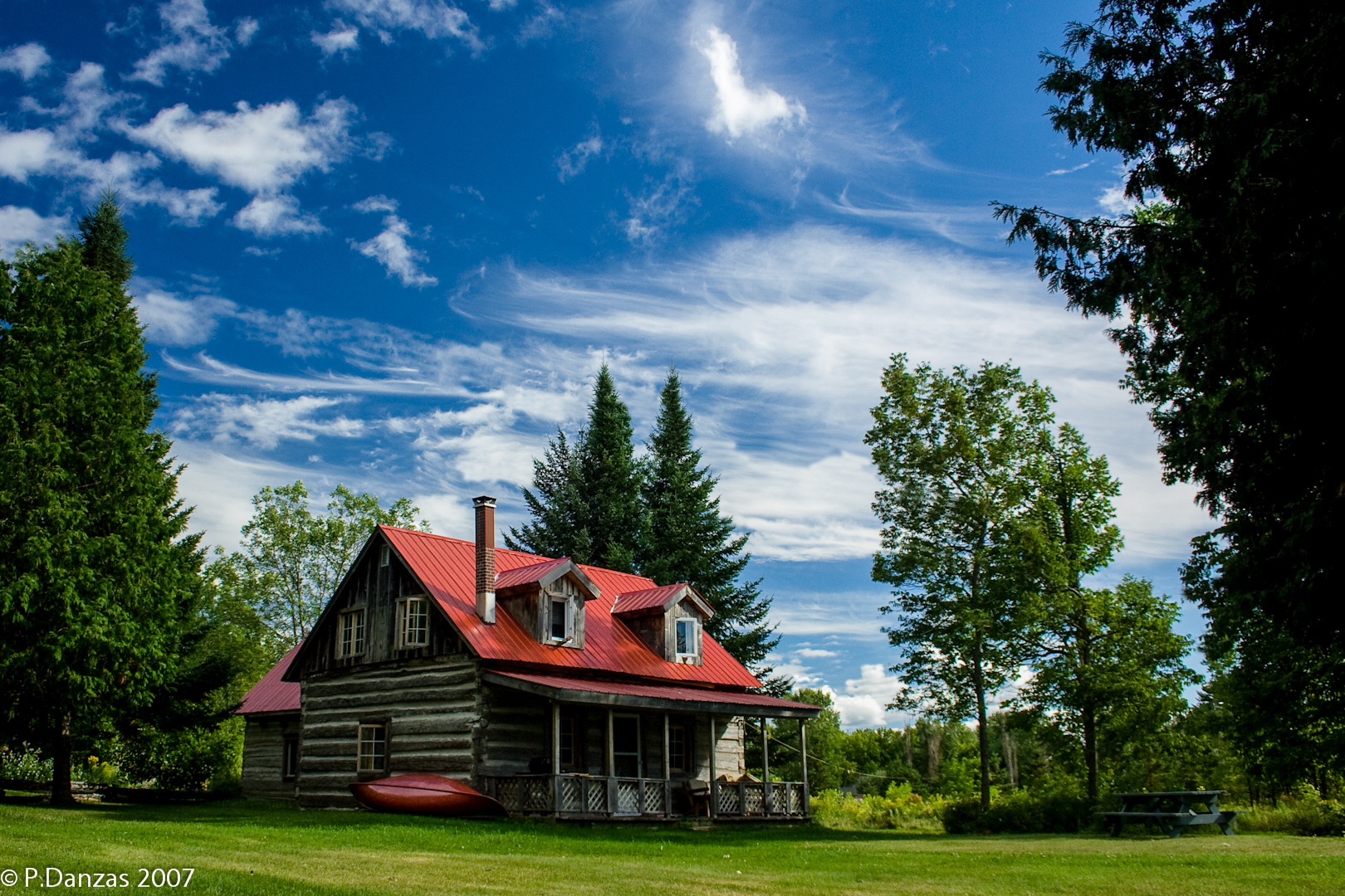
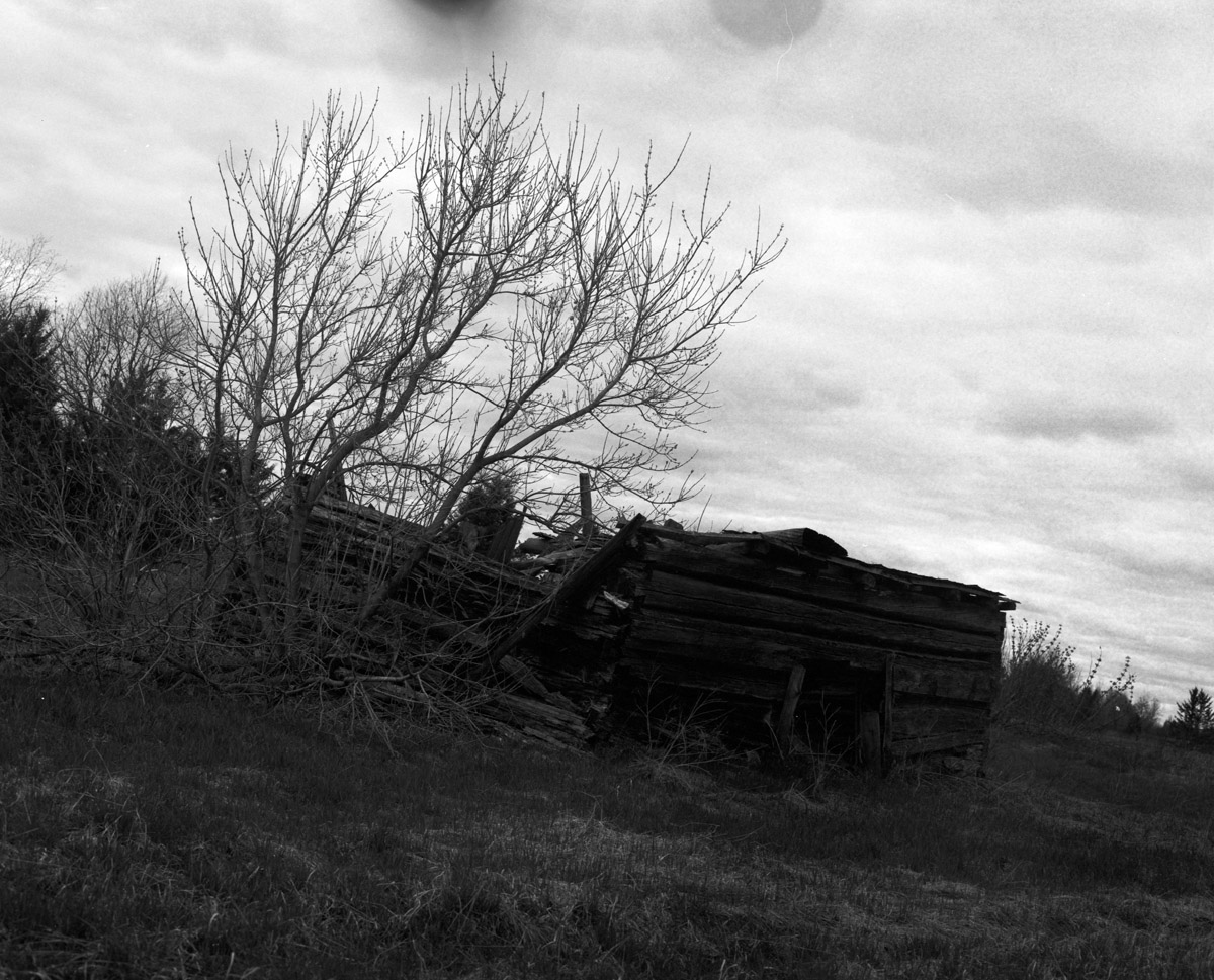
La cabane au fond des bois

2011-05-21 at 12-02-33
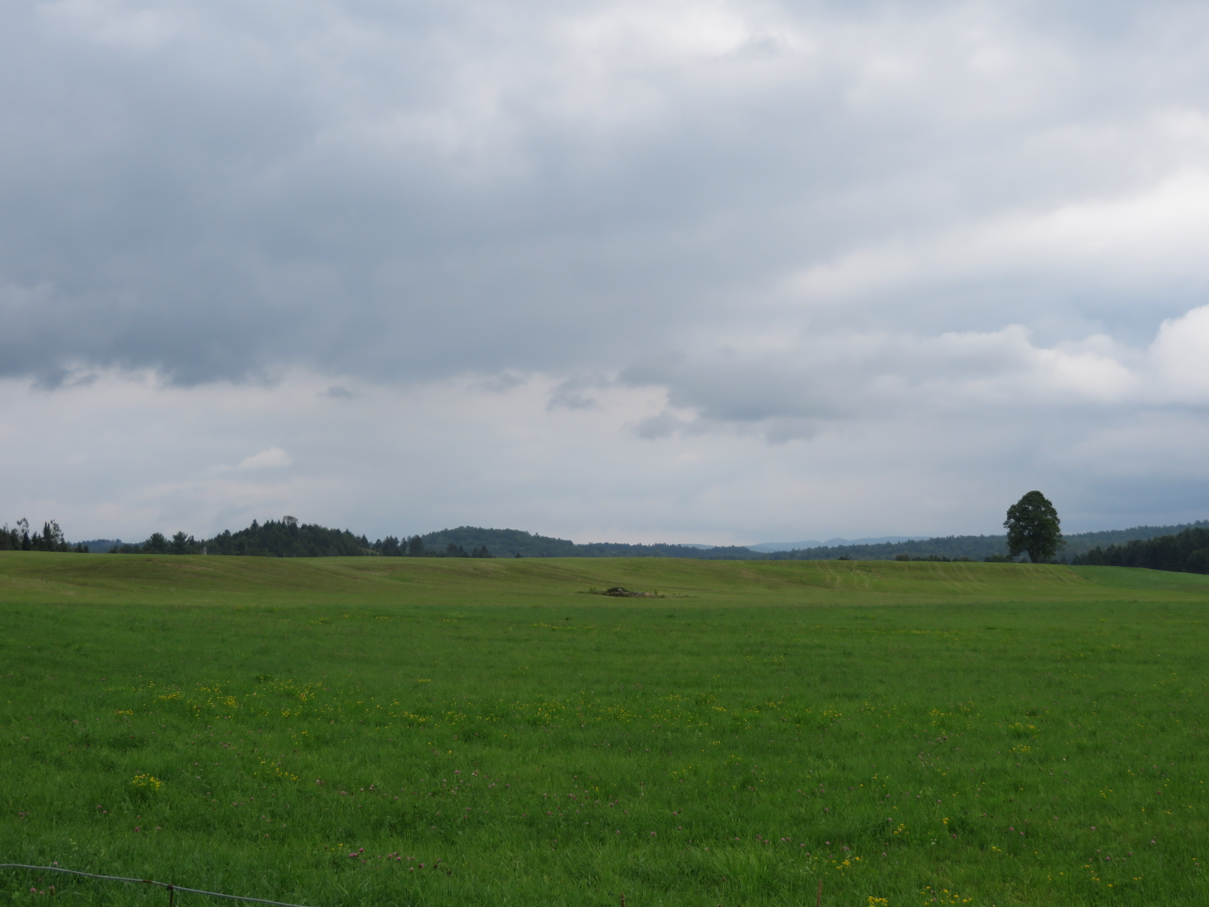
Gracefield, Québec
Low, Québec

Low, Québec

Low, Québec
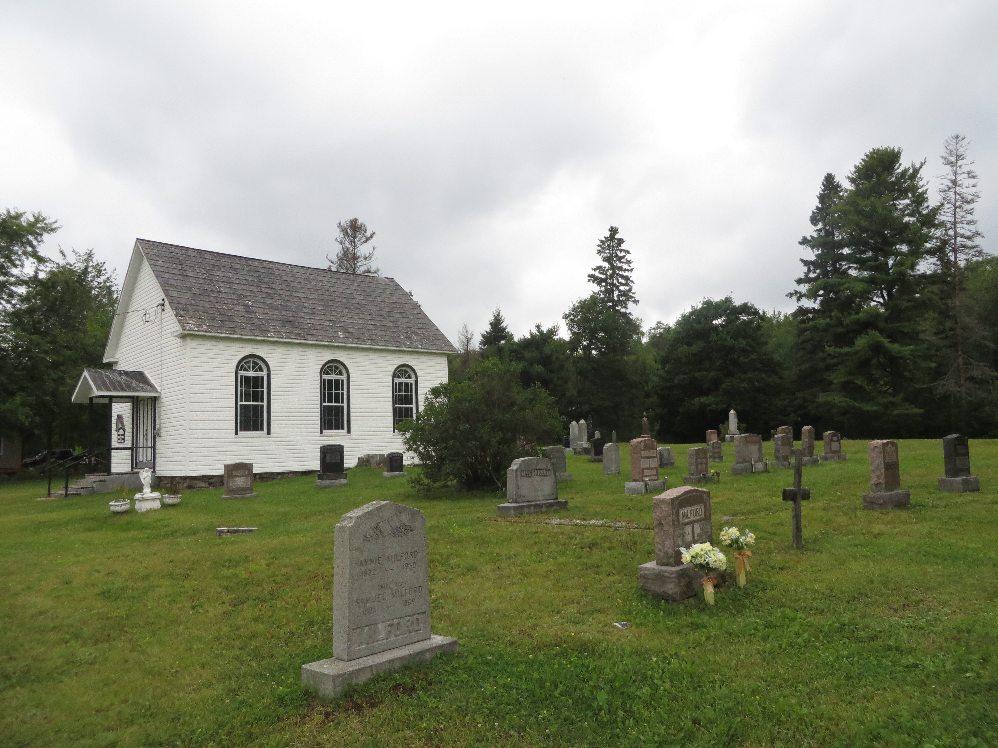
Aylwin Station, Québec
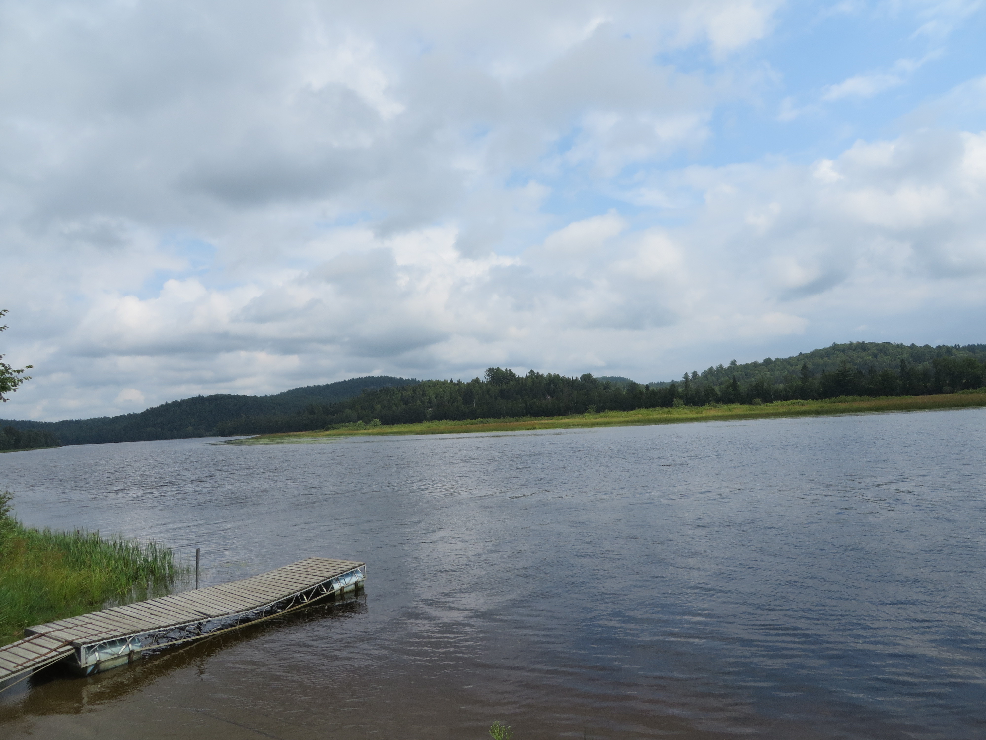
Danford Lake, Québec
Gracefield, Québec
Topographic Map of 77 Chemin du Village d'Aylwin, Kazabazua, QC J0X 1X0, Canada
Find elevation by address:

Places near 77 Chemin du Village d'Aylwin, Kazabazua, QC J0X 1X0, Canada:
Kazabazua
CH Mulligan Ferry, Kazabazua, QC J0X 1X0, Canada
373 Route 105
196 Chemin Du Rapide Faucher
Kazabazua
145 Chemin Du Lac Danford E
Route, Venosta, QC J0X 3E0, Canada
Venosta
Gracefield
100 Chemin Jingletown
Ch Du Lac Aux Cerises
Low
Wright
Chemin Du Bois Franc
Low
33 Chemin Du Lac Castor
11 Rue du Pont, Gracefield, QC J0X 1W0, Canada
Blue Sea
522 Ch Kallala
522 Ch Kallala
Recent Searches:
- Elevation of Fern Rd, Whitmore, CA, USA
- Elevation of 62 Abbey St, Marshfield, MA, USA
- Elevation of Fernwood, Bradenton, FL, USA
- Elevation of Felindre, Swansea SA5 7LU, UK
- Elevation of Leyte Industrial Development Estate, Isabel, Leyte, Philippines
- Elevation of W Granada St, Tampa, FL, USA
- Elevation of Pykes Down, Ivybridge PL21 0BY, UK
- Elevation of Jalan Senandin, Lutong, Miri, Sarawak, Malaysia
- Elevation of Bilohirs'k
- Elevation of 30 Oak Lawn Dr, Barkhamsted, CT, USA