Elevation of CH Kallala, Low, QC J0X 2C0, Canada
Location: Canada > Québec >
Longitude: -76.031768
Latitude: 45.7743472
Elevation: 186m / 610feet
Barometric Pressure: 99KPa
Elevation Map:
Satellite Map:
Related Photos:
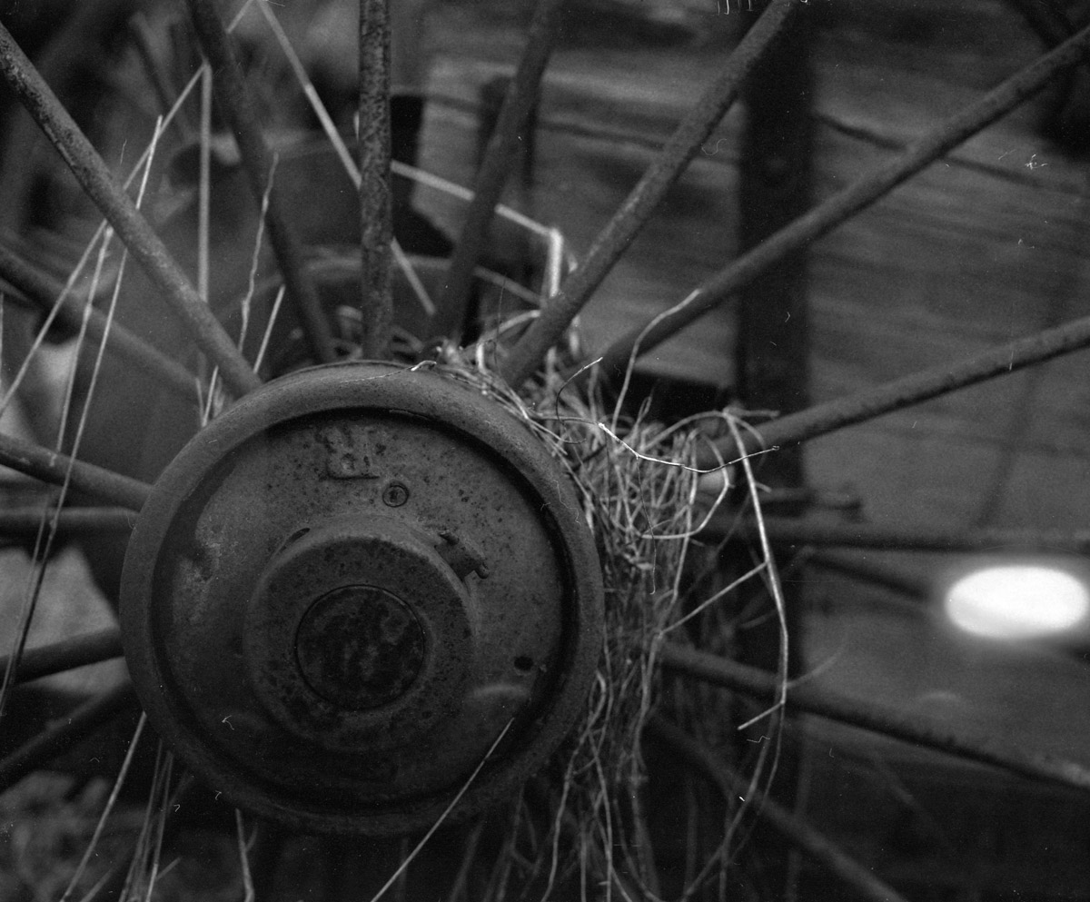
The wheels on the cart go round n' round...
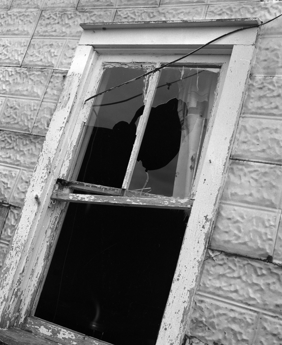
Well ventilated
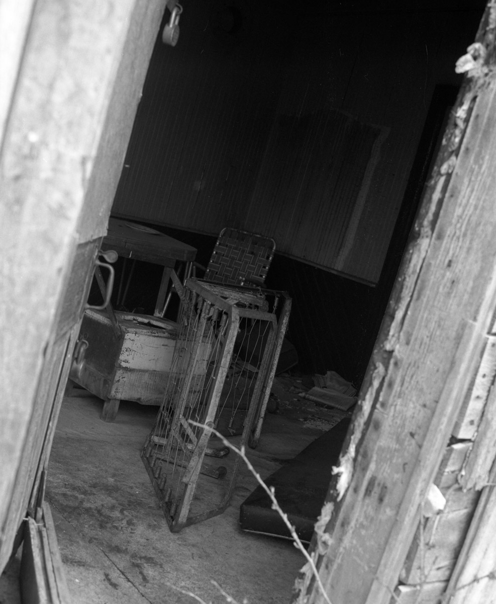
Time for some interior design...
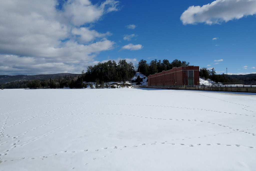
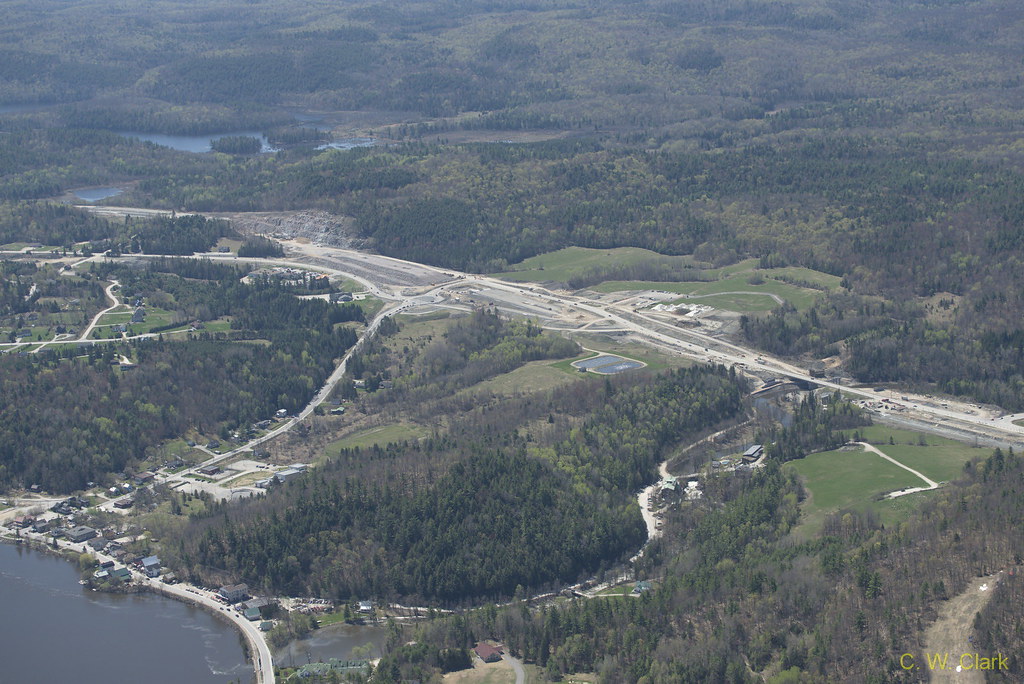
View above the Paugan Dam in Low, Quebec
View atop the Paugan Dam in Low, Quebec
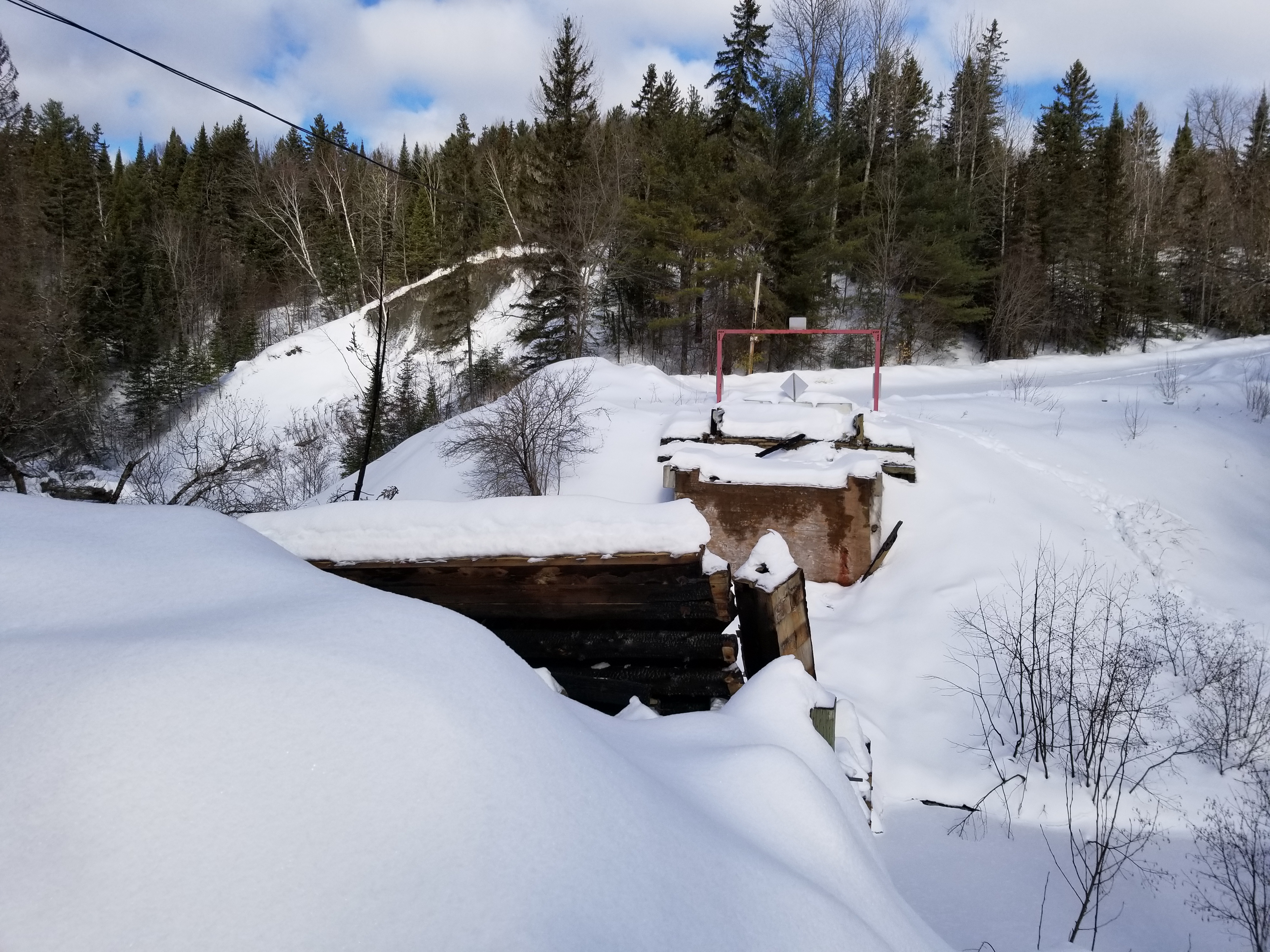
Pont Kelly - Low, Québec
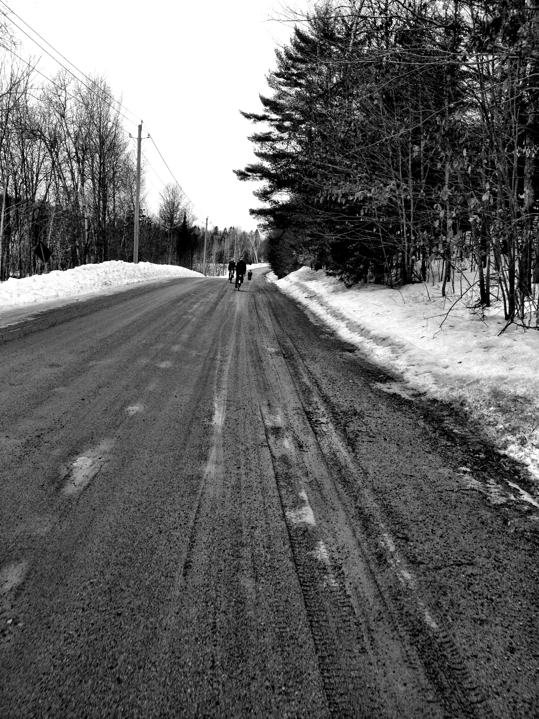
A frigid, cold day in the village of Kazabazua, Quebec
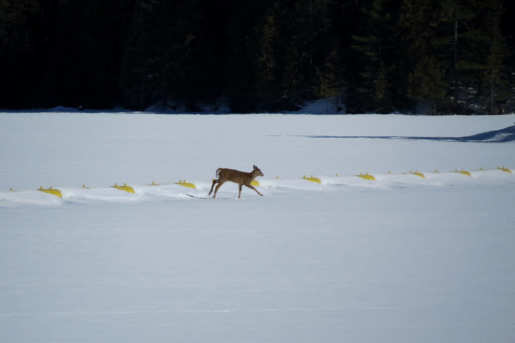
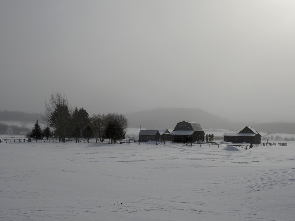
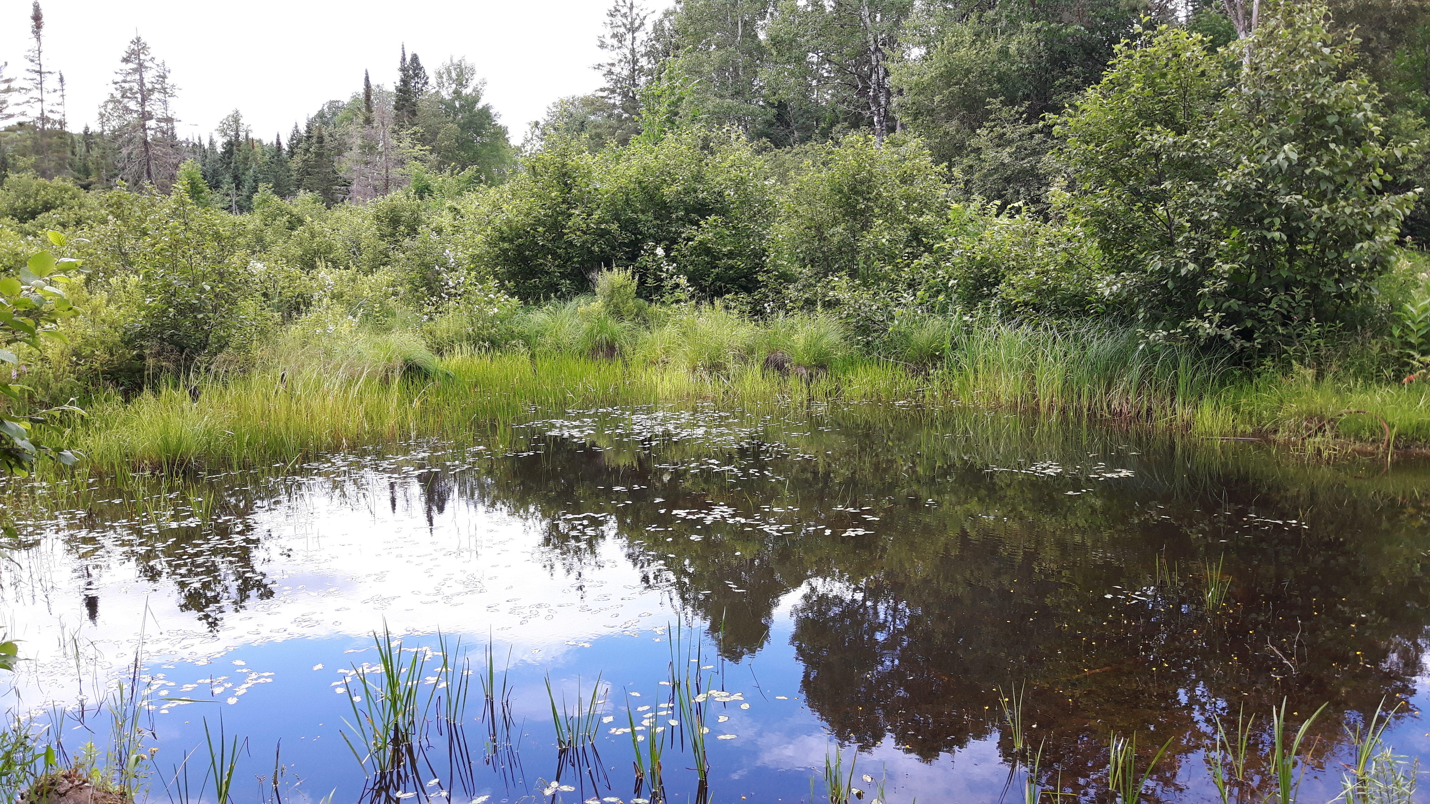
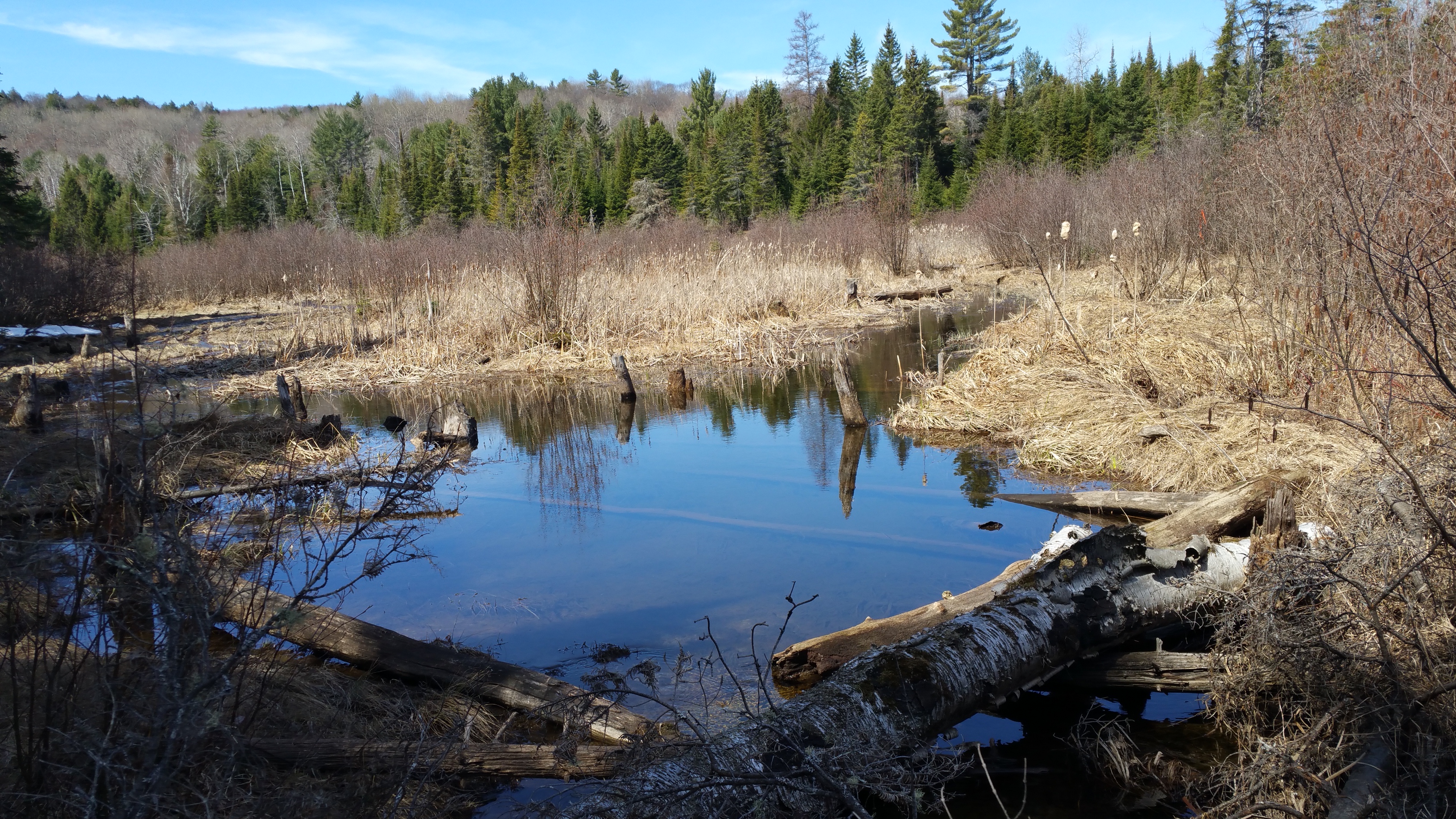
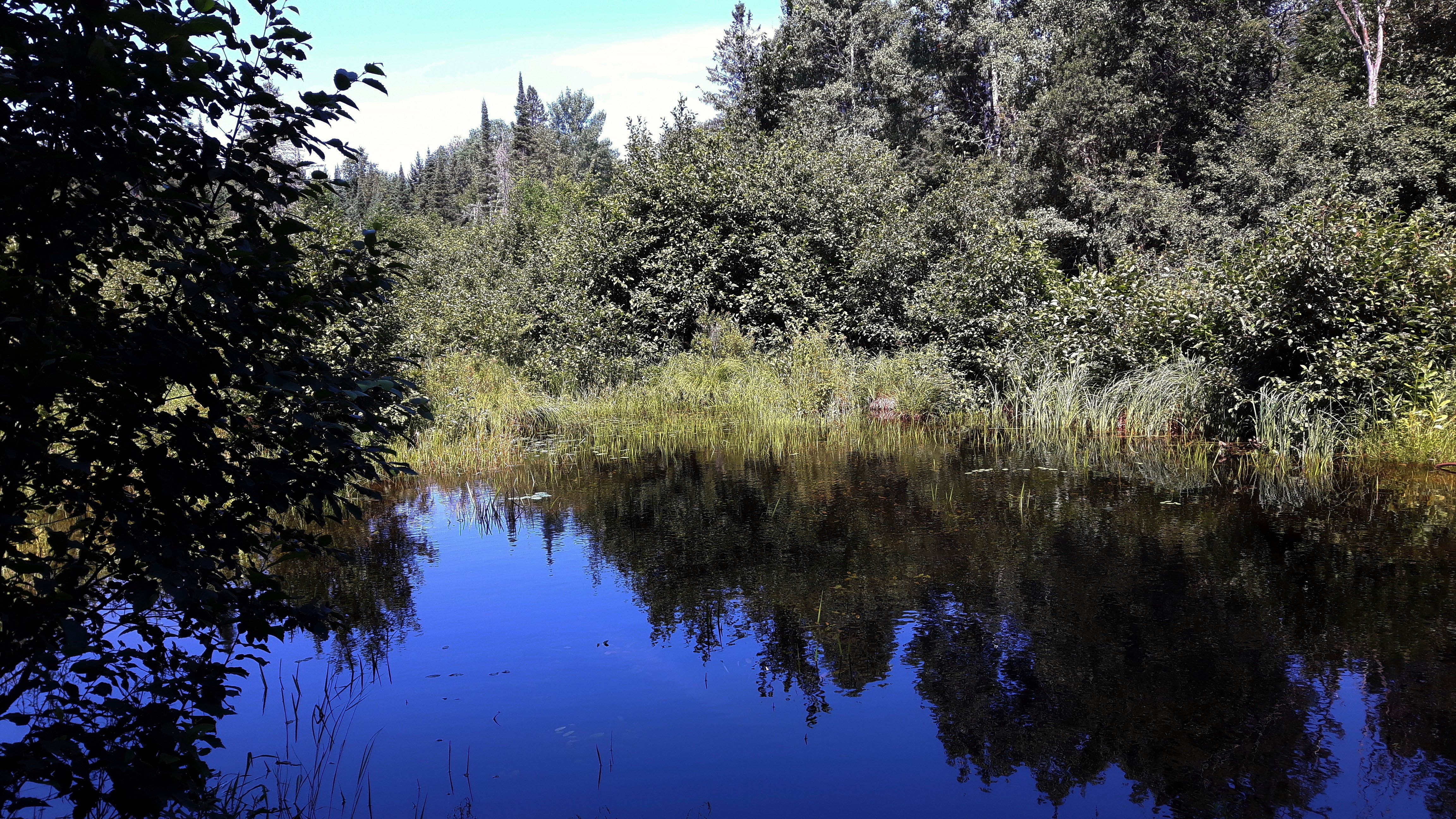
Low, Québec
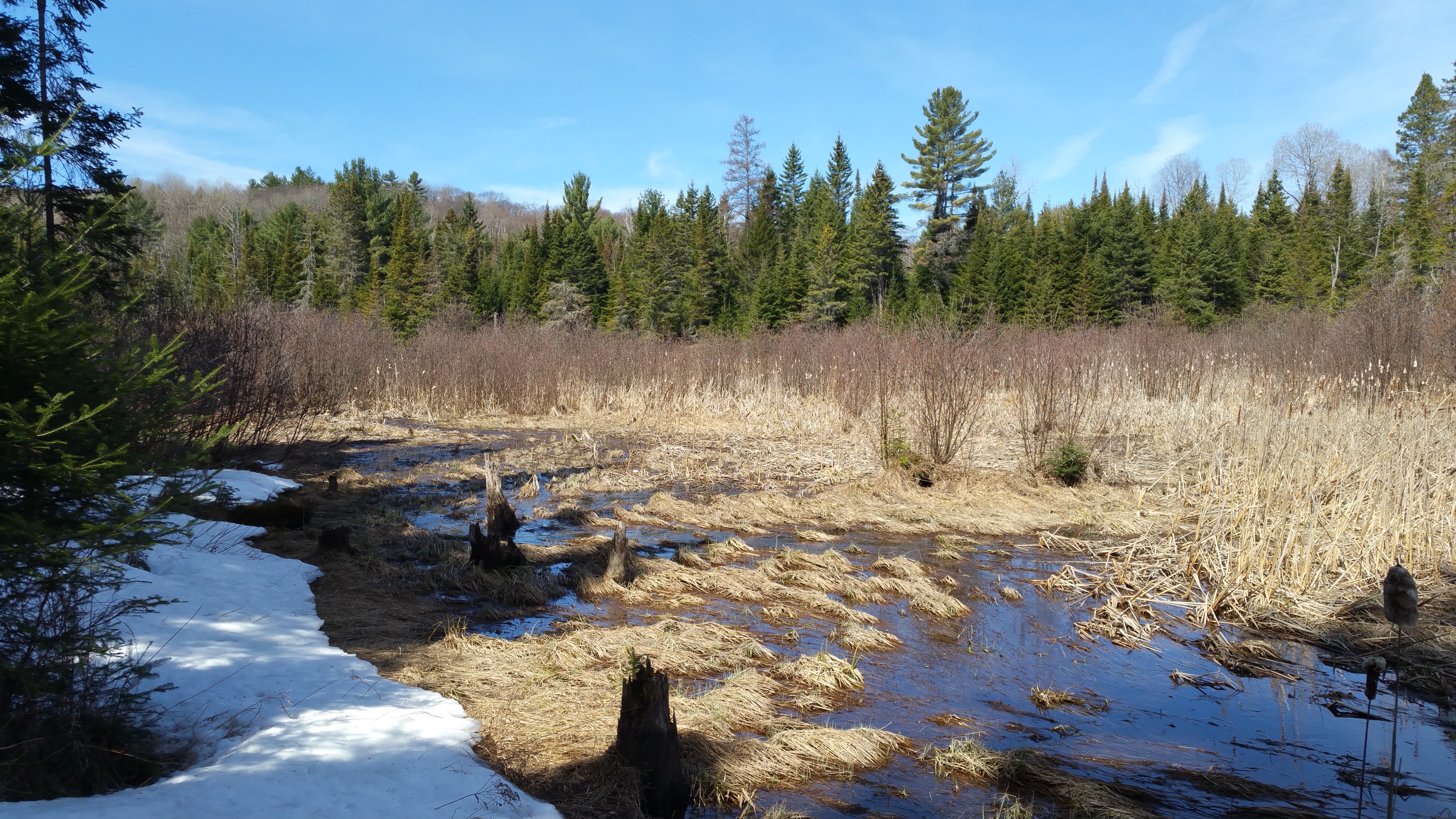
Low, Québec

Its A Sony

Its A Sony
2018-09-29_03-51-17
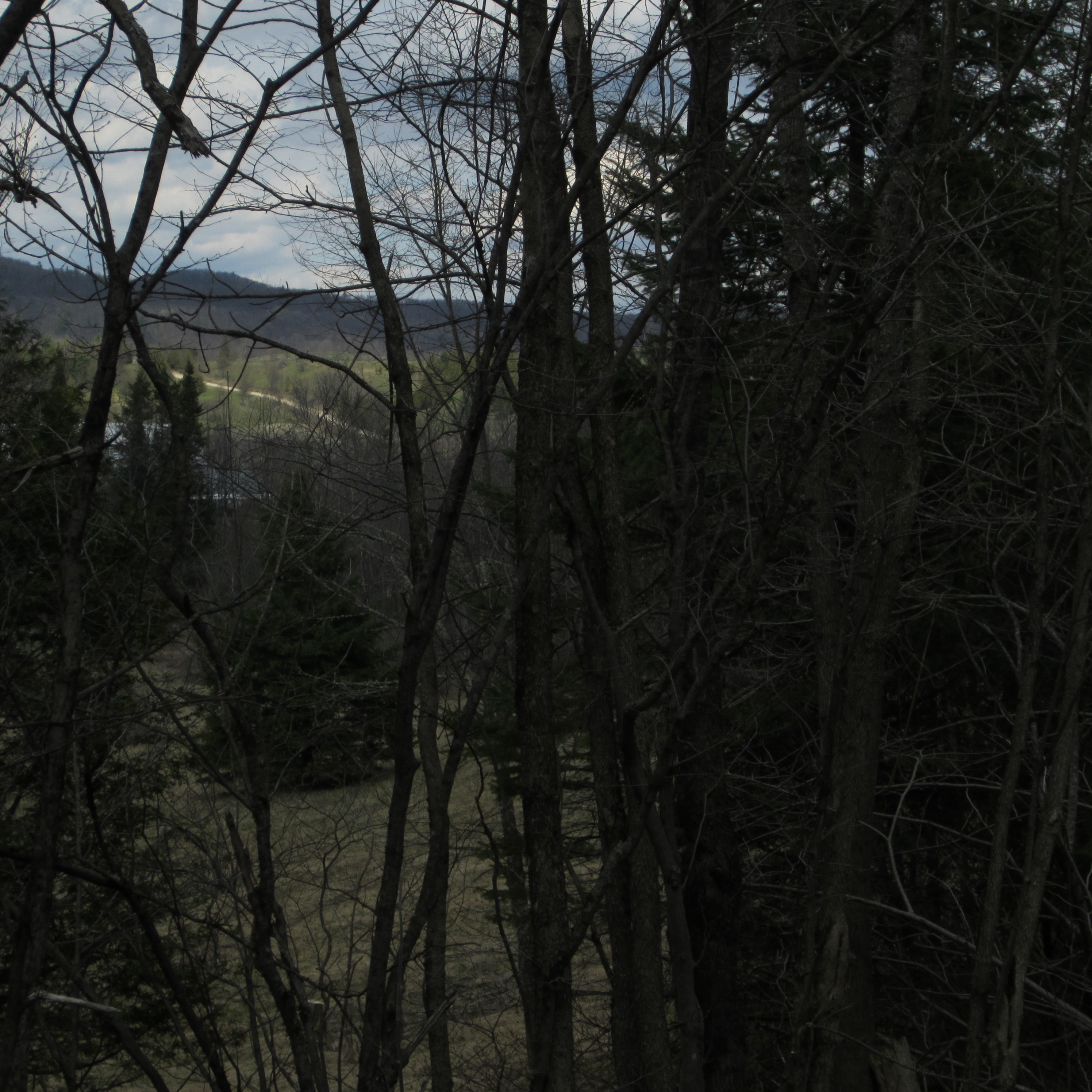
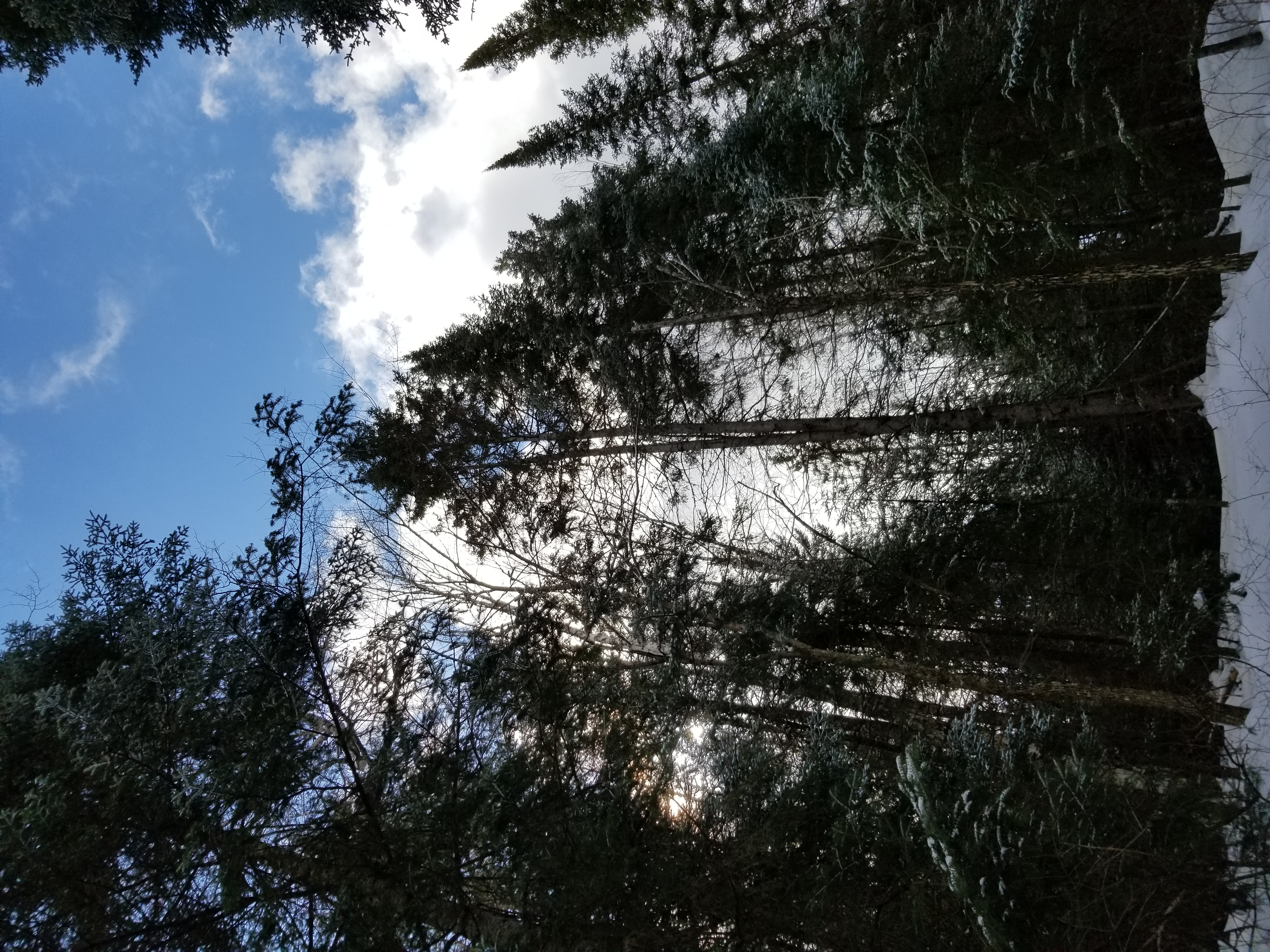
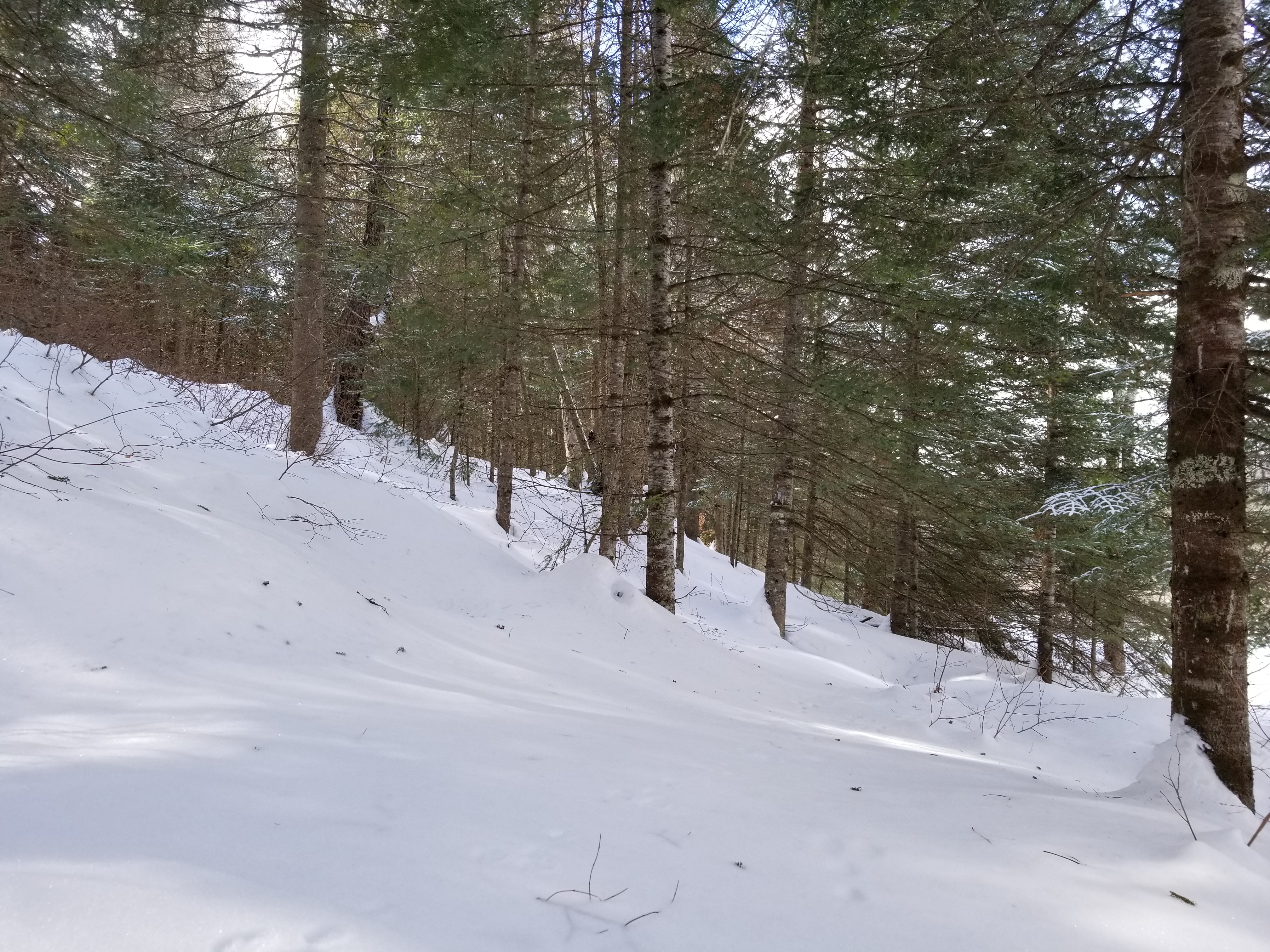
a peek through the trees at newcommon
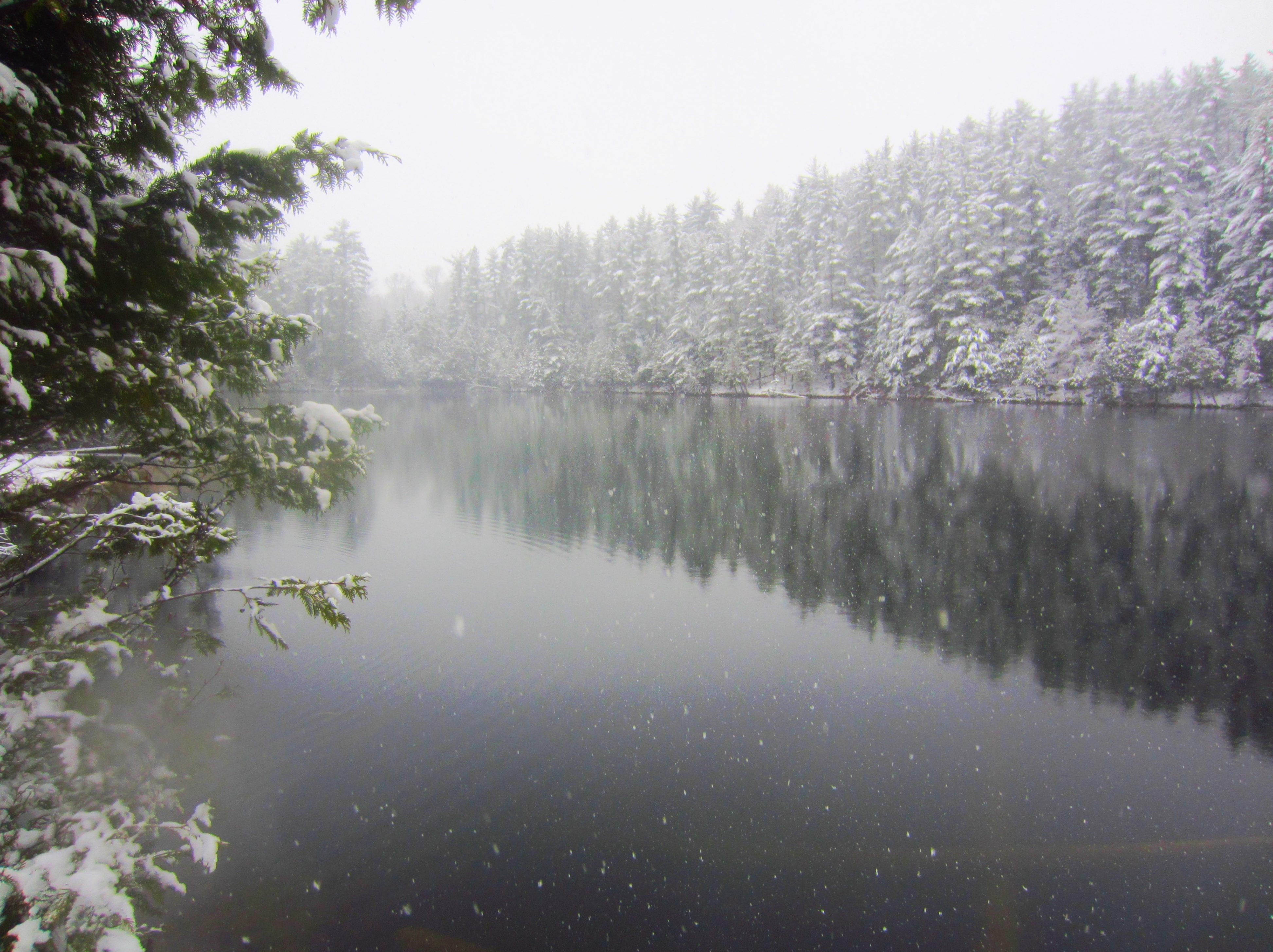
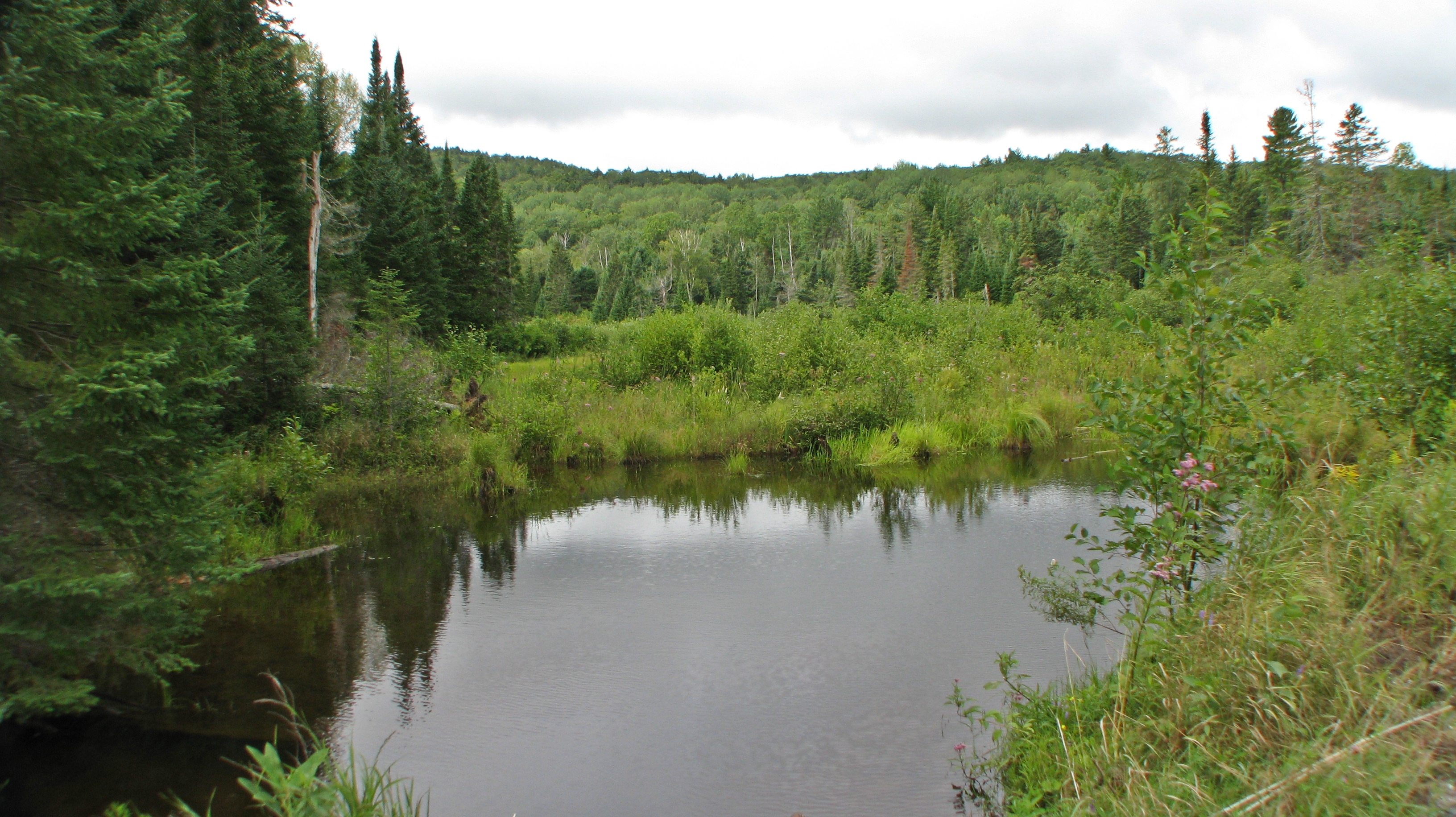
Lac Demi Lune
Low, Québec
Low, Québec
Low, Québec

Low, Québec
Low, Québec
Low, Québec

Low, Québec
Camera Roll-28
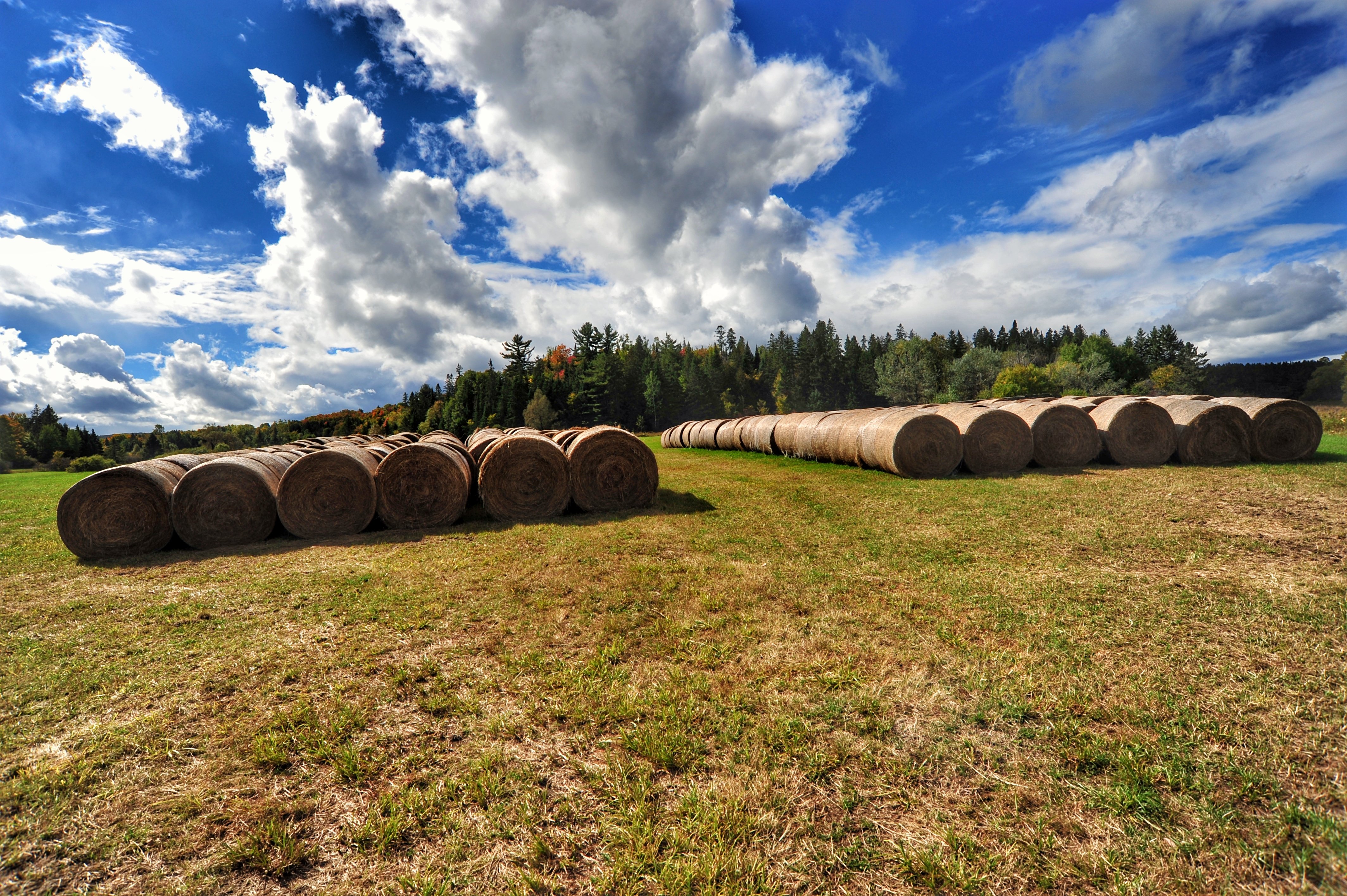
cottagers' cut 6765
Low Québec
Low, Québec

Lac de Nino - 1743m
Topographic Map of CH Kallala, Low, QC J0X 2C0, Canada
Find elevation by address:

Places near CH Kallala, Low, QC J0X 2C0, Canada:
522 Ch Kallala
Chemin Lamarche
137 Chemin Usher
Low
4 Chemin McDonald, Low, QC J0X 2C0, Canada
Low
Venosta
Route, Venosta, QC J0X 3E0, Canada
La Pêche
Lac Sinclair
Duclos
107 Chemin Fortin
Chemin De La Dam-brûlé
Chemin Raphaël
Sainte-cécile-de-masham
8 Route Principale E, Sainte-Cécile-de-Masham, QC J0X 2W0, Canada
300 Qc-366
344 Chemin Lac Sinclair
22 Chemin Marie Noël
75 Chemin Horace-cross
Recent Searches:
- Elevation of Slanický ostrov, 01 Námestovo, Slovakia
- Elevation of Spaceport America, Co Rd A, Truth or Consequences, NM, USA
- Elevation of Warwick, RI, USA
- Elevation of Fern Rd, Whitmore, CA, USA
- Elevation of 62 Abbey St, Marshfield, MA, USA
- Elevation of Fernwood, Bradenton, FL, USA
- Elevation of Felindre, Swansea SA5 7LU, UK
- Elevation of Leyte Industrial Development Estate, Isabel, Leyte, Philippines
- Elevation of W Granada St, Tampa, FL, USA
- Elevation of Pykes Down, Ivybridge PL21 0BY, UK