Elevation of Chemin Raphaël, Sainte-Cécile-de-Masham, QC J0X 2W0, Canada
Location: Canada > Québec > Les Collines-de-l'outaouais Regional County Municipality > La Pêche > Sainte-cécile-de-masham >
Longitude: -76.034842
Latitude: 45.6446613
Elevation: 157m / 515feet
Barometric Pressure: 99KPa
Elevation Map:
Satellite Map:
Related Photos:

The view from the asphalt

Sign of the Times
Space invasion with fireplace and PC (1998-1999)
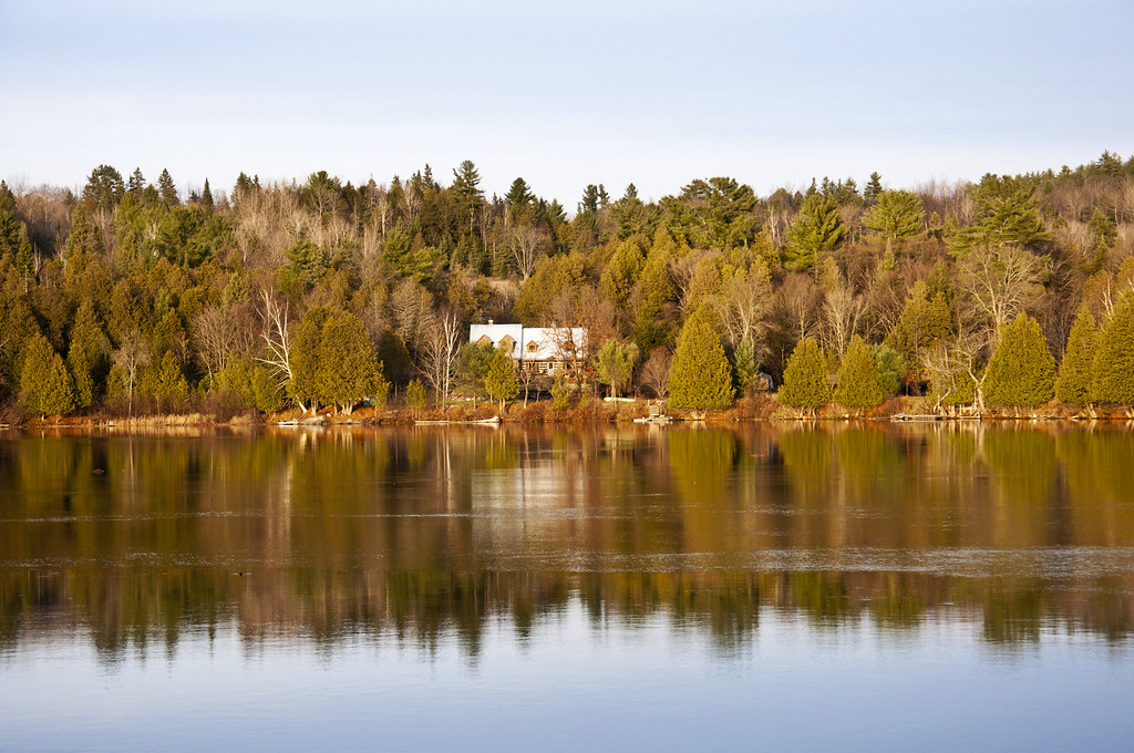
Gatineau view.jpg

Chaise avec vue ...
l'Épouvantable...
Bord de l'eau ...
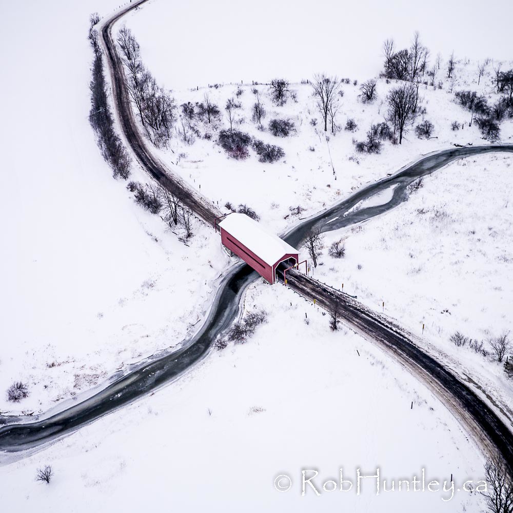
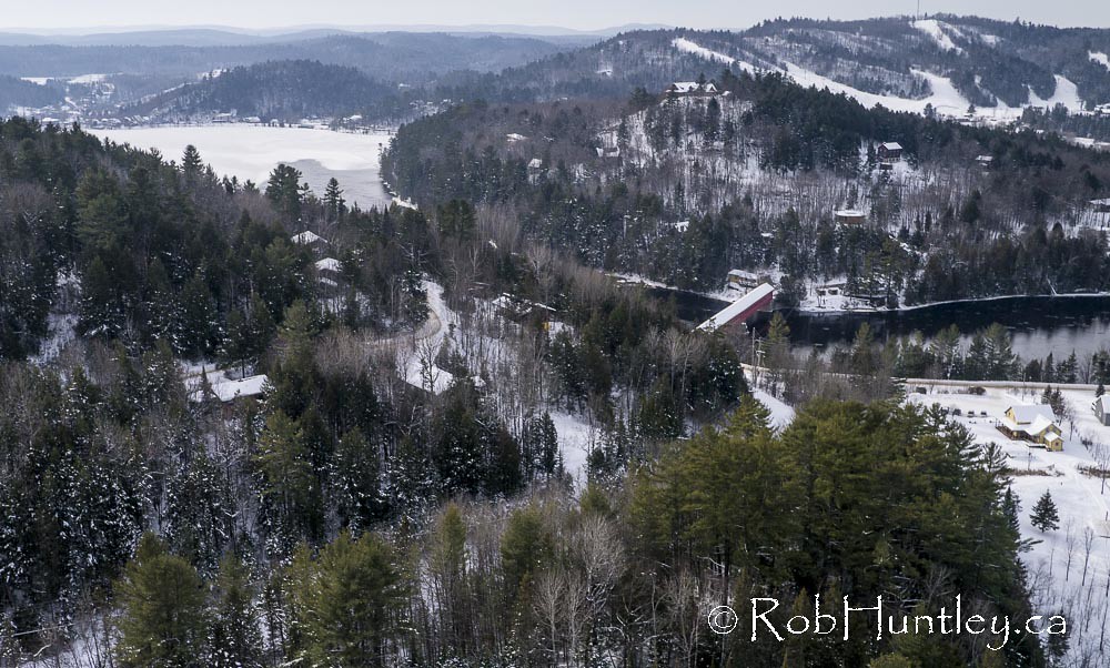
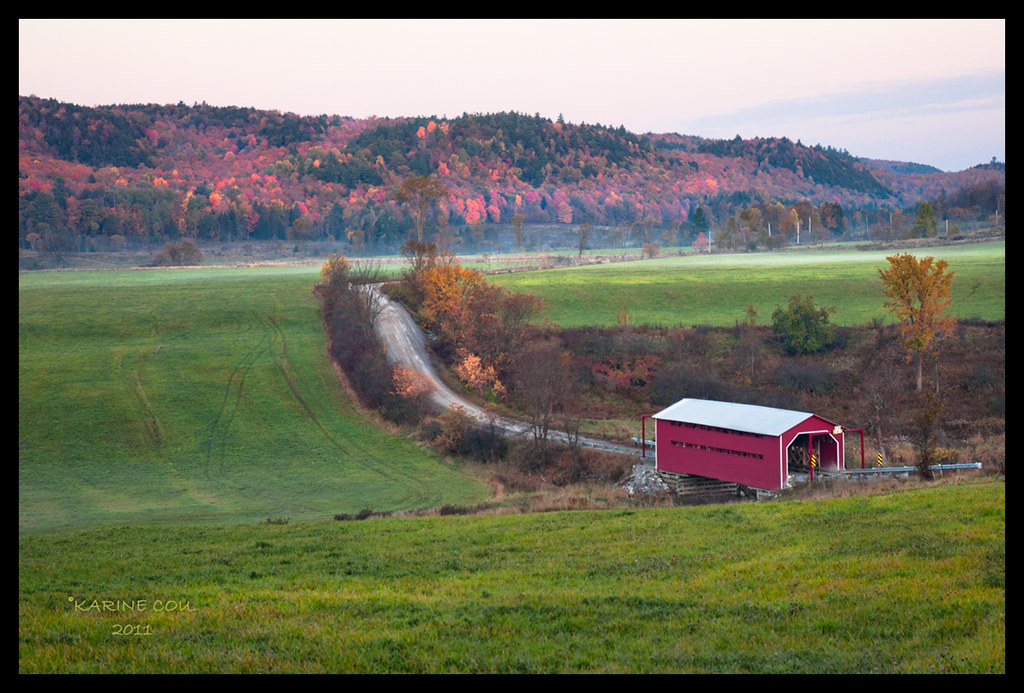
Meech Creek Covered Bridge
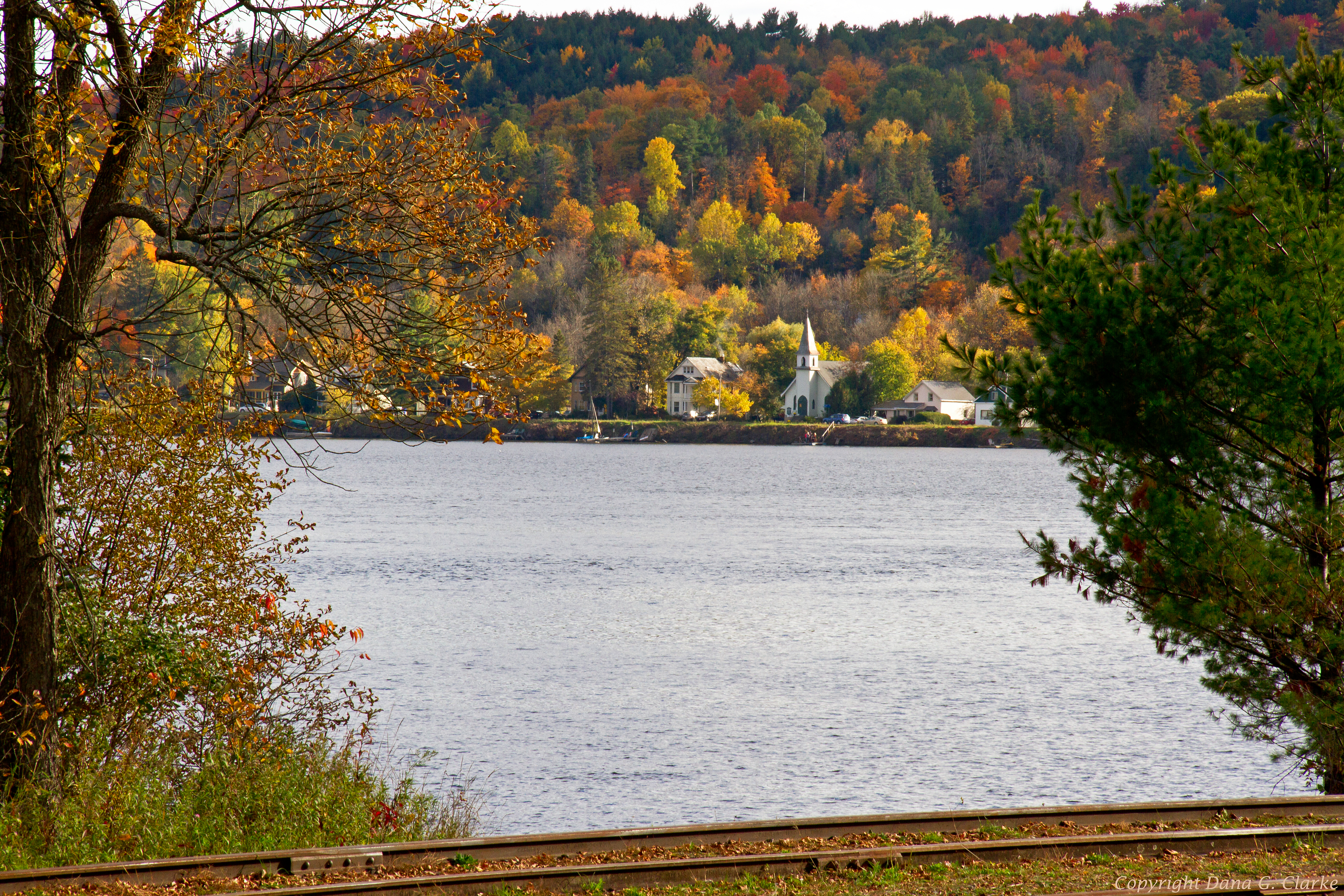
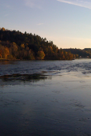
Looking across a bend on the Gatineau River

It's a long shot.

Luskville Falls
Aflicktion: Letters to Cyberspace
A la carte .....
Wakefield covered bridge.
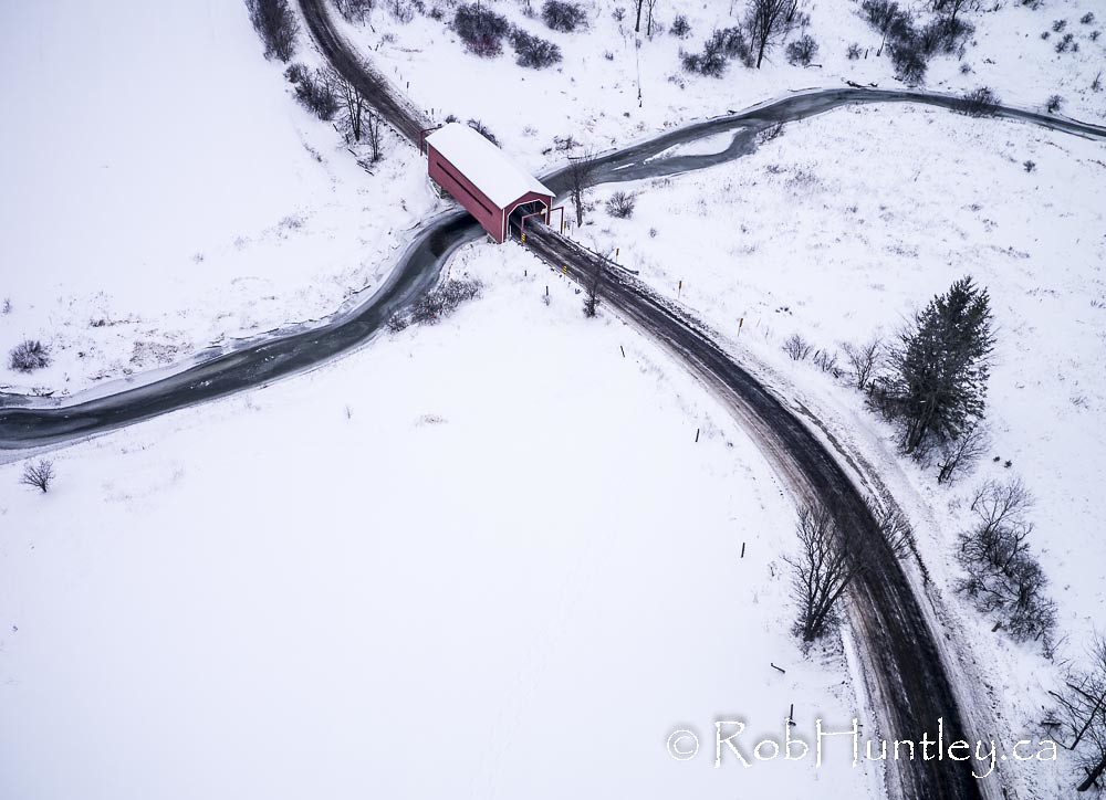
Meech Creek Covered Bridge
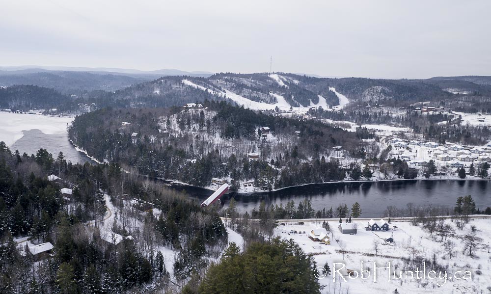
Wakefield covered bridge.

Gatineau Hills Panorama
view from wakefield bridge
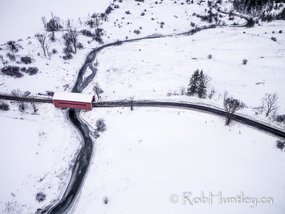
Meech Creek Covered Bridge
View from Luskville Falls Trail
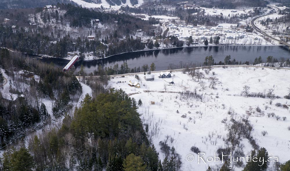
Wakefield covered bridge.

Clear as cristal
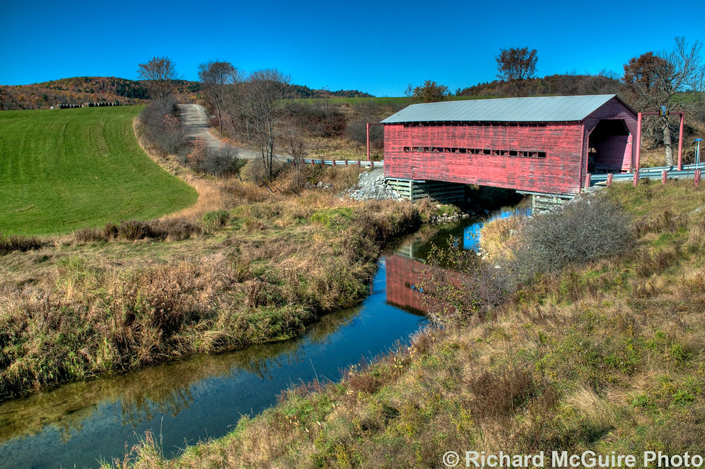
Covered bridge over Meech Creek, western Quebec

Victoria visits Luskville falls.
Light Pollution
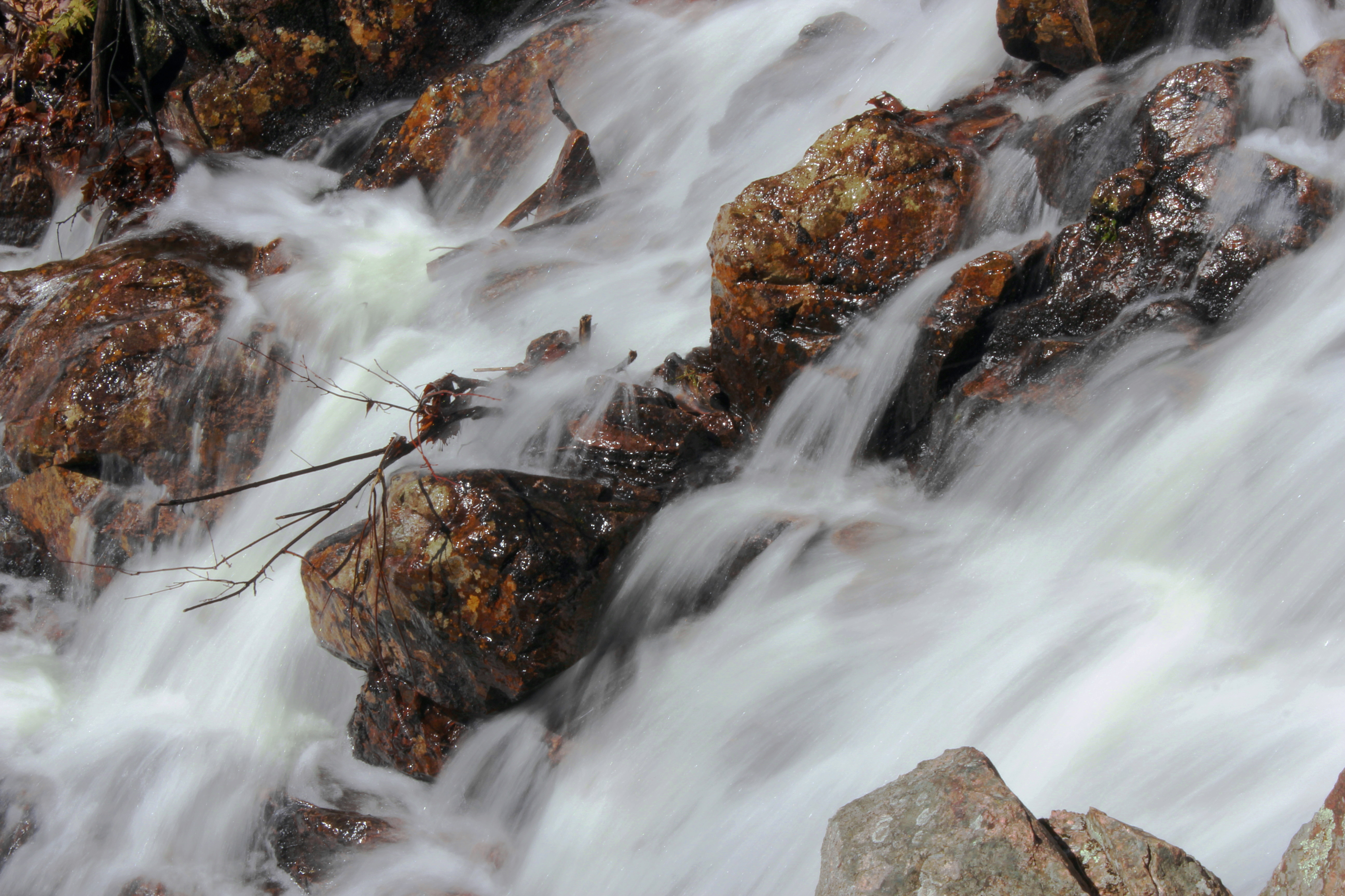
Chutes Luskville Qc Ca

a few minutes of sunshine
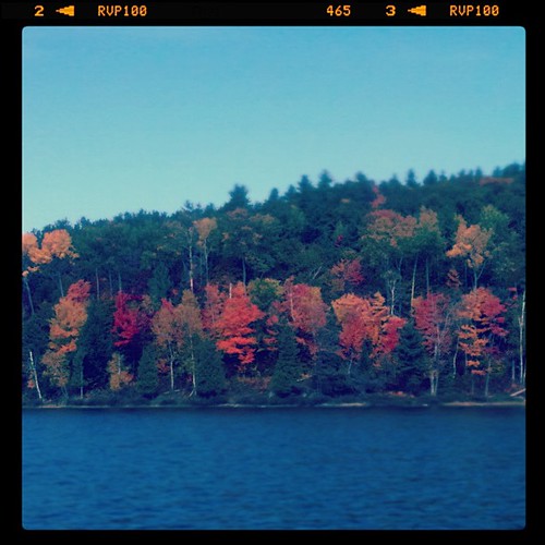
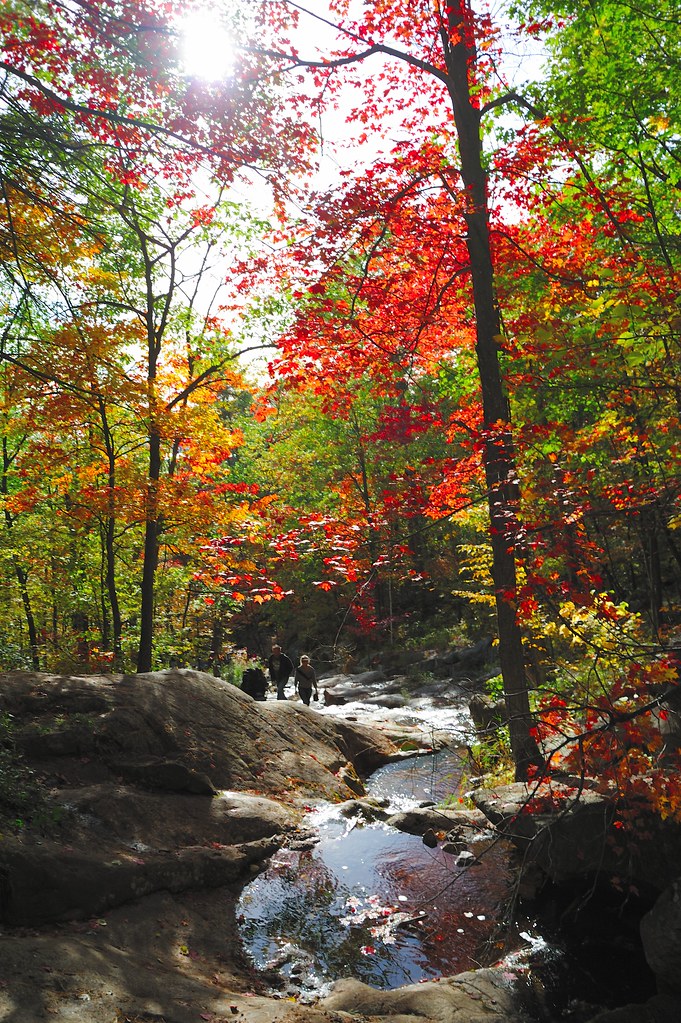
Fall has arrived..

Chutes Luskville Qc Ca
THÉRAPIE MATINALE / MORNING THÉRAPY
rustic hues of November
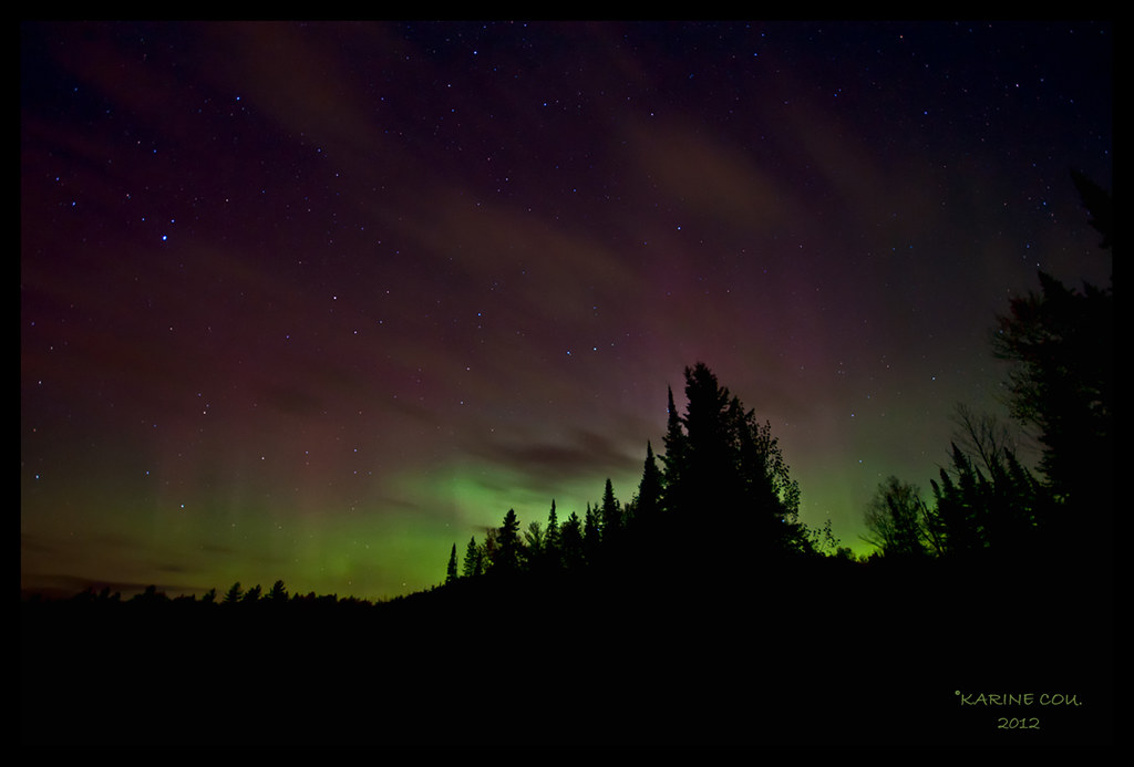
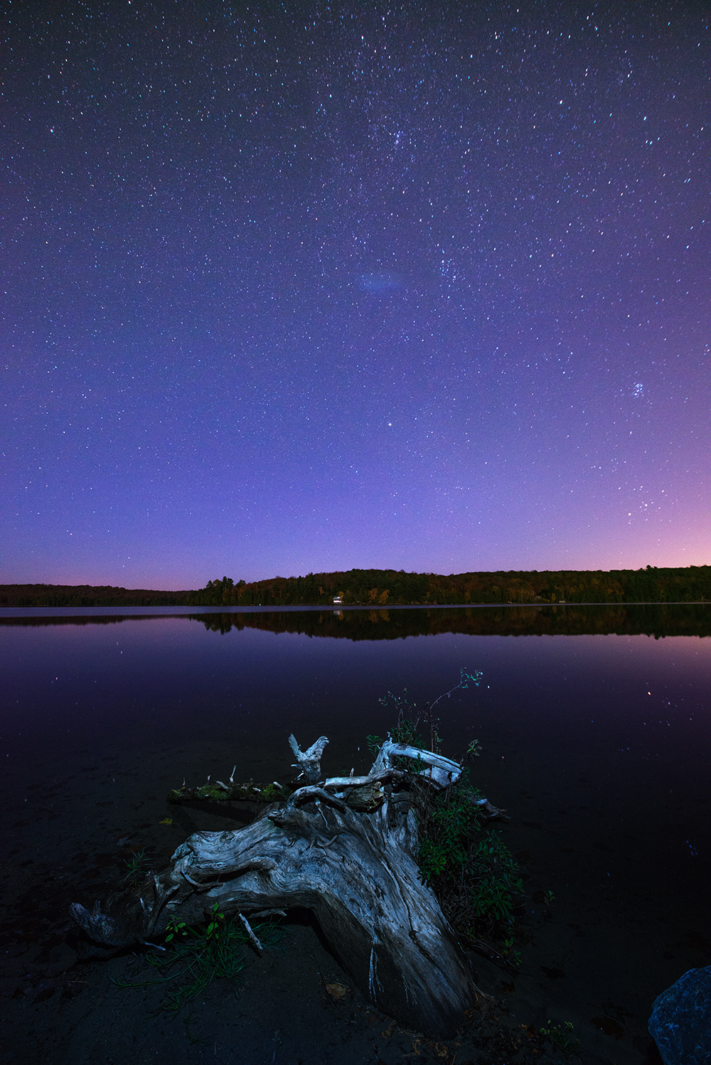
AURORE BORÉALE

fall evening in wakefield

2015-10-12 I HikeToBrown I ©2015 LgLab I 15.10.12 14.53.27 I _DSC1041.jpg

Chutes de Luskville Qc Ca

Camera Roll-441
Luskville Falls Trail

Cousins chillin on the dock

Chutes Luskville Qc Ca
Topographic Map of Chemin Raphaël, Sainte-Cécile-de-Masham, QC J0X 2W0, Canada
Find elevation by address:

Places near Chemin Raphaël, Sainte-Cécile-de-Masham, QC J0X 2W0, Canada:
8 Route Principale E, Sainte-Cécile-de-Masham, QC J0X 2W0, Canada
22 Chemin Marie Noël
Sainte-cécile-de-masham
107 Chemin Fortin
75 Chemin Horace-cross
300 Qc-366
La Pêche
Chemin Eardley Masham
Duclos
Route Principale O, La Pêche, QC J0X, Canada
Pontiac
Luskville
Eardley
Lac Des Loups
Lac-des-loups
2 Chemin Lionel-beausoleil
52 Chemin Halverson, Lac-des-Loups, QC J0X 3K0, Canada
2518 Chemin Du Lac-des-loups
2518 Chemin Du Lac-des-loups
Recent Searches:
- Elevation of Elwyn Dr, Roanoke Rapids, NC, USA
- Elevation of Congressional Dr, Stevensville, MD, USA
- Elevation of Bellview Rd, McLean, VA, USA
- Elevation of Stage Island Rd, Chatham, MA, USA
- Elevation of Shibuya Scramble Crossing, 21 Udagawacho, Shibuya City, Tokyo -, Japan
- Elevation of Jadagoniai, Kaunas District Municipality, Lithuania
- Elevation of Pagonija rock, Kranto 7-oji g. 8"N, Kaunas, Lithuania
- Elevation of Co Rd 87, Jamestown, CO, USA
- Elevation of Tenjo, Cundinamarca, Colombia
- Elevation of Côte-des-Neiges, Montreal, QC H4A 3J6, Canada