Elevation of Rosevale, NB E4H 4C3, Canada
Location: Canada > New Brunswick > Albert County > Hillsborough >
Longitude: -64.85
Latitude: 45.85
Elevation: 184m / 604feet
Barometric Pressure: 99KPa
Elevation Map:
Satellite Map:
Related Photos:

Crooked Creek Look-off - UNESCO Fundy Biosphere, Albert County, NB, Canada.
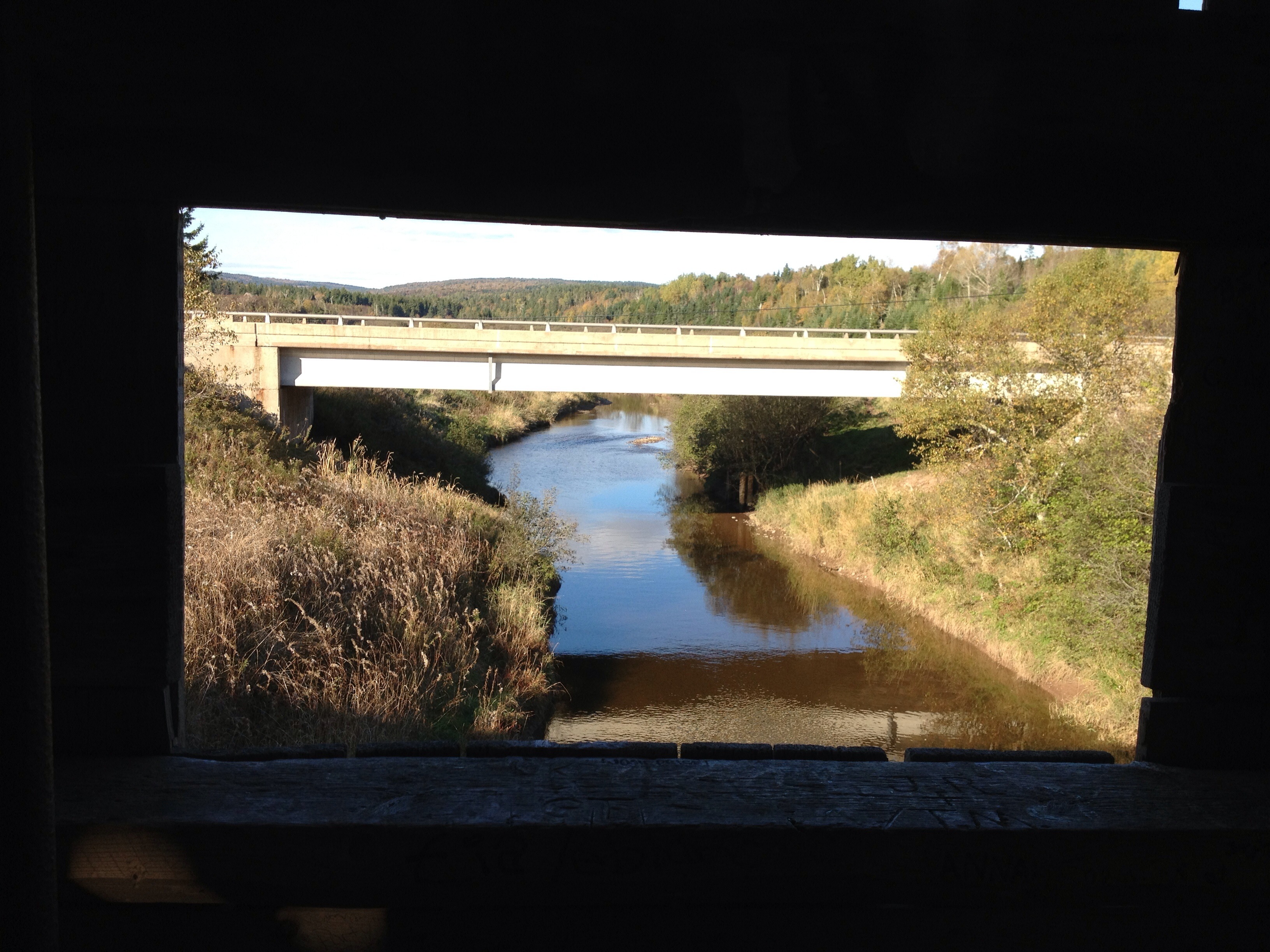
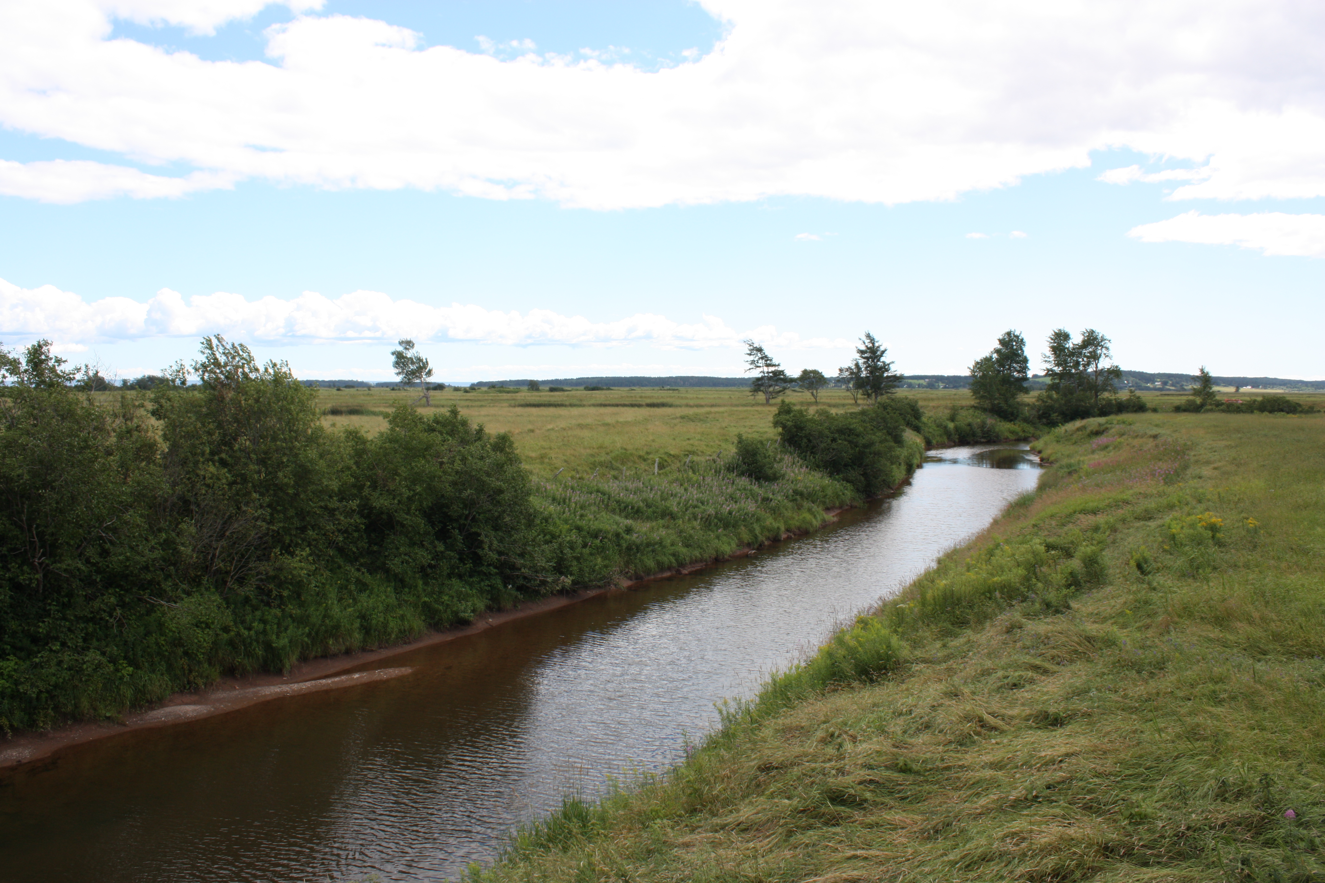
View from covered bridge
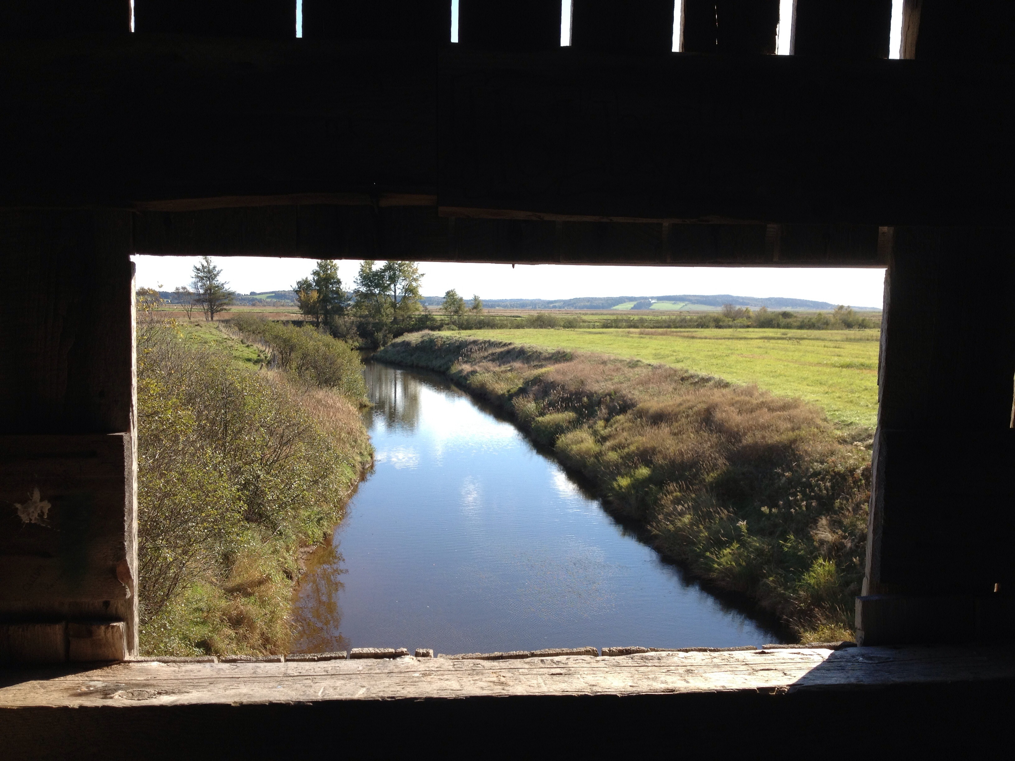
View from the window on covered bridge

Caledonia MTN_Panorama1
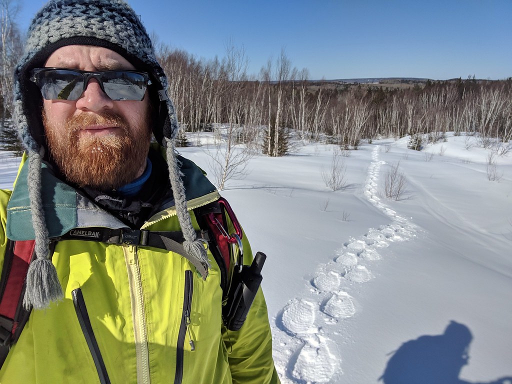
2019-02-27_08-13-26

Turtle Creek Reservoir
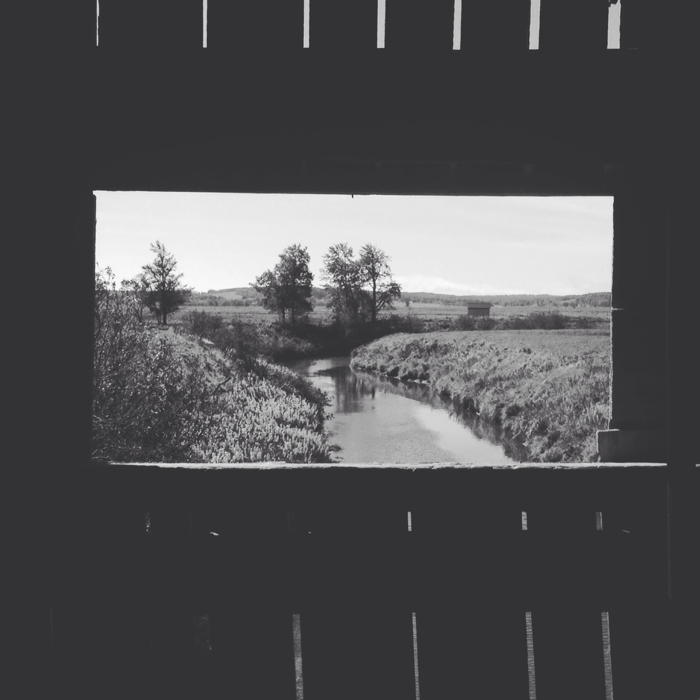
The view from the Kissing Bridge
Caledonia MTN_Panorama5
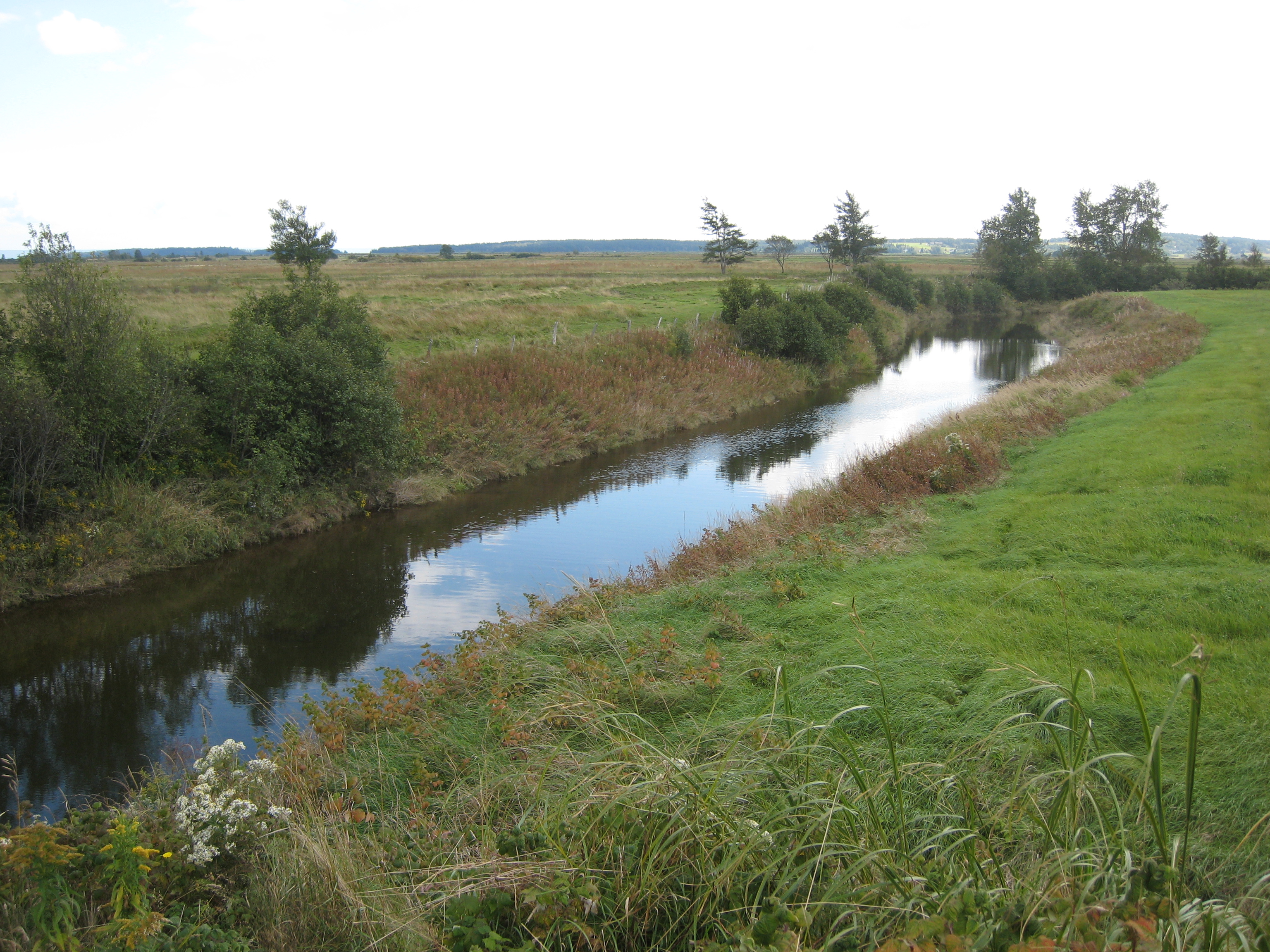
In Albert County
Riverside-Albert_Panorama1
Riverside-Albert_Panorama3
2009 Trip - Bay of Fundy
2009 Trip - Bay of Fundy
Hopewell Hill, New Brunswick
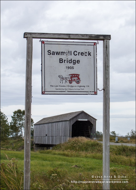
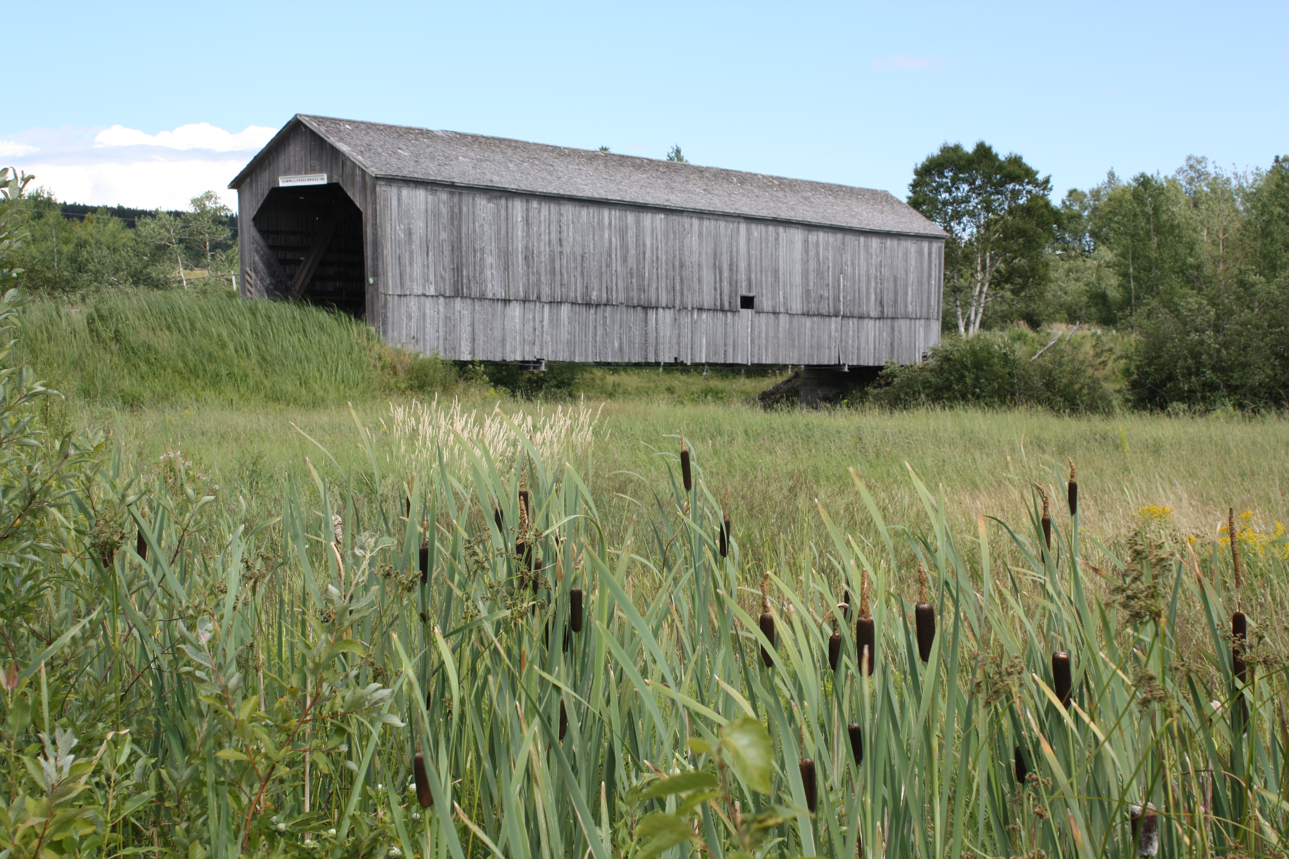
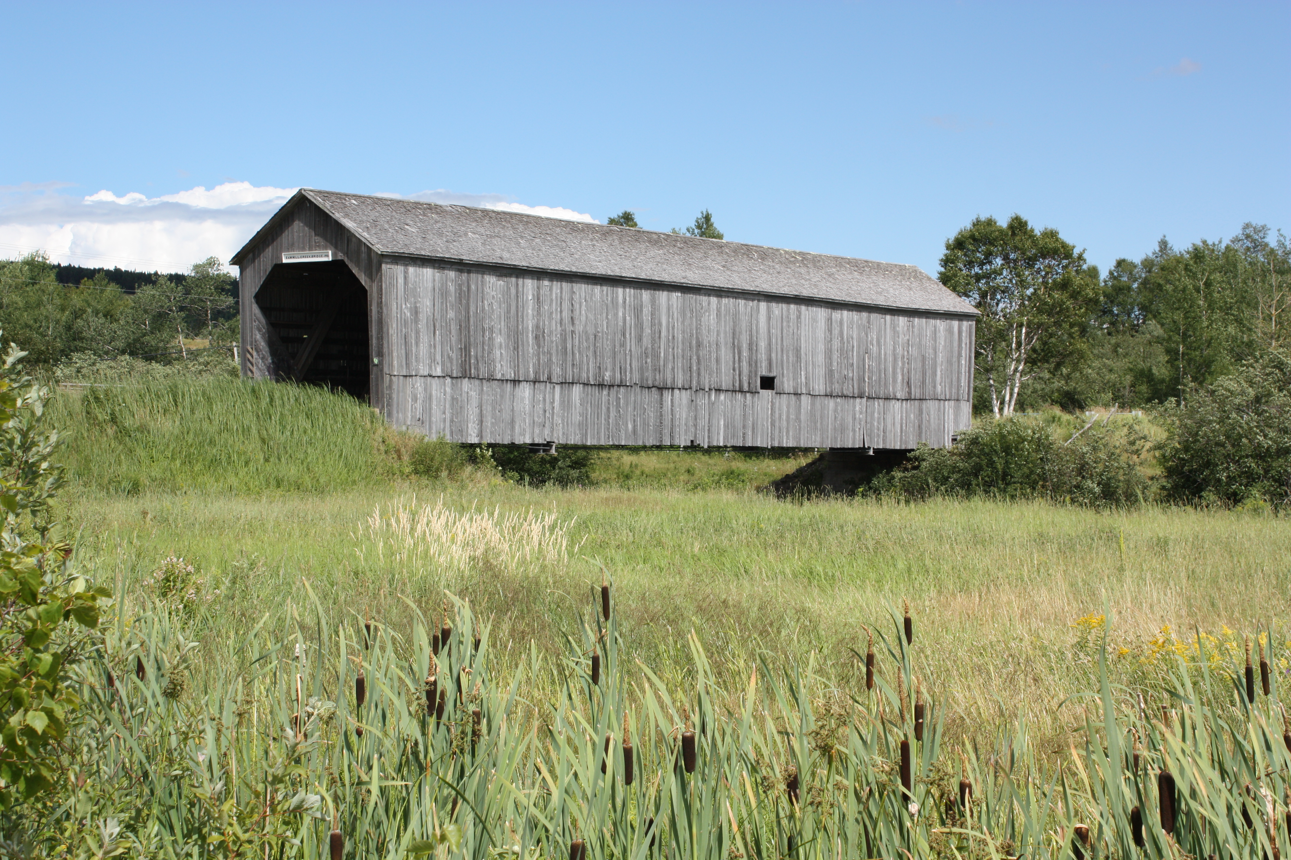
Sawmill Creek Bridge, Hopewell Hill - New Brunswick (Canada)
Hopewell Hill, New Brunswick
Hopewell Hill, New Brunswick
Topographic Map of Rosevale, NB E4H 4C3, Canada
Find elevation by address:

Places near Rosevale, NB E4H 4C3, Canada:
E4h 1c9
Caledonia Mountain
1036 Caledonia Mountain Rd
1036 Caledonia Mountain Rd
1020 Caledonia Mountain Rd
1020 Caledonia Mountain Rd
1020 Caledonia Mountain Rd
Albert County
E4z 1x8
NB-, Parkindale, NB E4J 3E6, Canada
Parkindale
E4z 1z1
Pleasant Vale Rd, Elgin, NB E4Z 2C5, Canada
295 Pleasant Vale Rd
295 Pleasant Vale Rd
295 Pleasant Vale Rd
Main St, Germantown, NB E4H 2K2, Canada
NB-, Elgin, NB E4Z 2R6, Canada
39 Marys Point Rd
32 Marys Point Rd
Recent Searches:
- Elevation of Tenjo, Cundinamarca, Colombia
- Elevation of Côte-des-Neiges, Montreal, QC H4A 3J6, Canada
- Elevation of Bobcat Dr, Helena, MT, USA
- Elevation of Zu den Ihlowbergen, Althüttendorf, Germany
- Elevation of Badaber, Peshawar, Khyber Pakhtunkhwa, Pakistan
- Elevation of SE Heron Loop, Lincoln City, OR, USA
- Elevation of Slanický ostrov, 01 Námestovo, Slovakia
- Elevation of Spaceport America, Co Rd A, Truth or Consequences, NM, USA
- Elevation of Warwick, RI, USA
- Elevation of Fern Rd, Whitmore, CA, USA