Elevation of Albert County, NB, Canada
Location: Canada > New Brunswick >
Longitude: -64.777419
Latitude: 45.7781844
Elevation: 324m / 1063feet
Barometric Pressure: 97KPa
Elevation Map:
Satellite Map:
Related Photos:

Crooked Creek Look-off - UNESCO Fundy Biosphere, Albert County, NB, Canada.
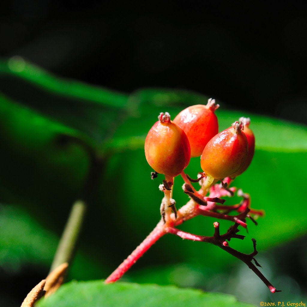
Unknown Berries (20080911-133850-PJG)

Young Sparrow (20100612-121920-PJG)
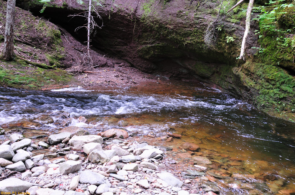
Anderson Hollow
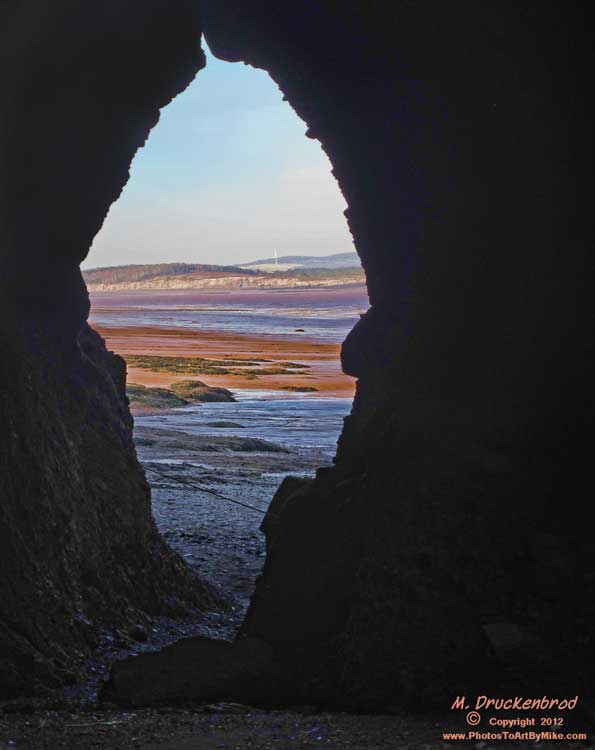
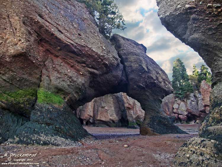
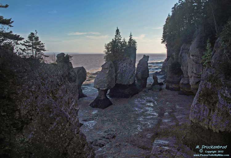
Cliffs, coves and caves carved by the tides, Hopewell Rocks, New Brunswick
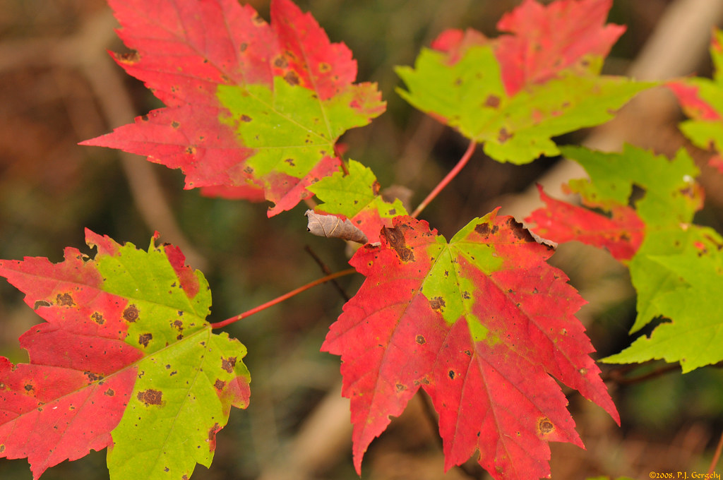
Signs of the Fall (20080911-135632-PJG)
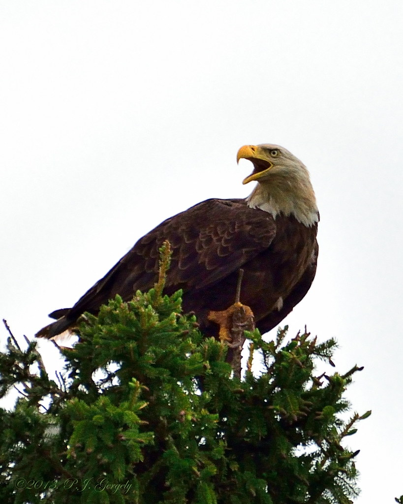
Being Screeched At (20130603-125339-PJG)
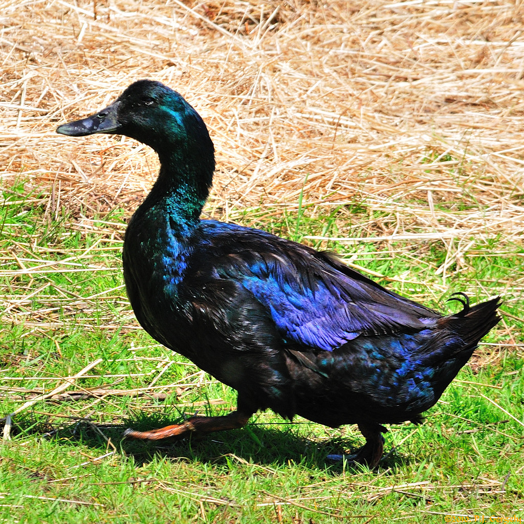
What the Duck!! :) (20100612-140800-PJG)
View from covered bridge
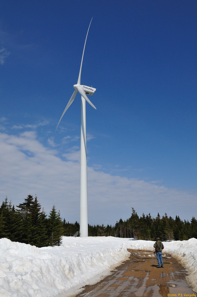
Wind Power (20100320-141910-PJG)

Don't Talk with your Mouth Full! :) (20100612-140001-PJG)
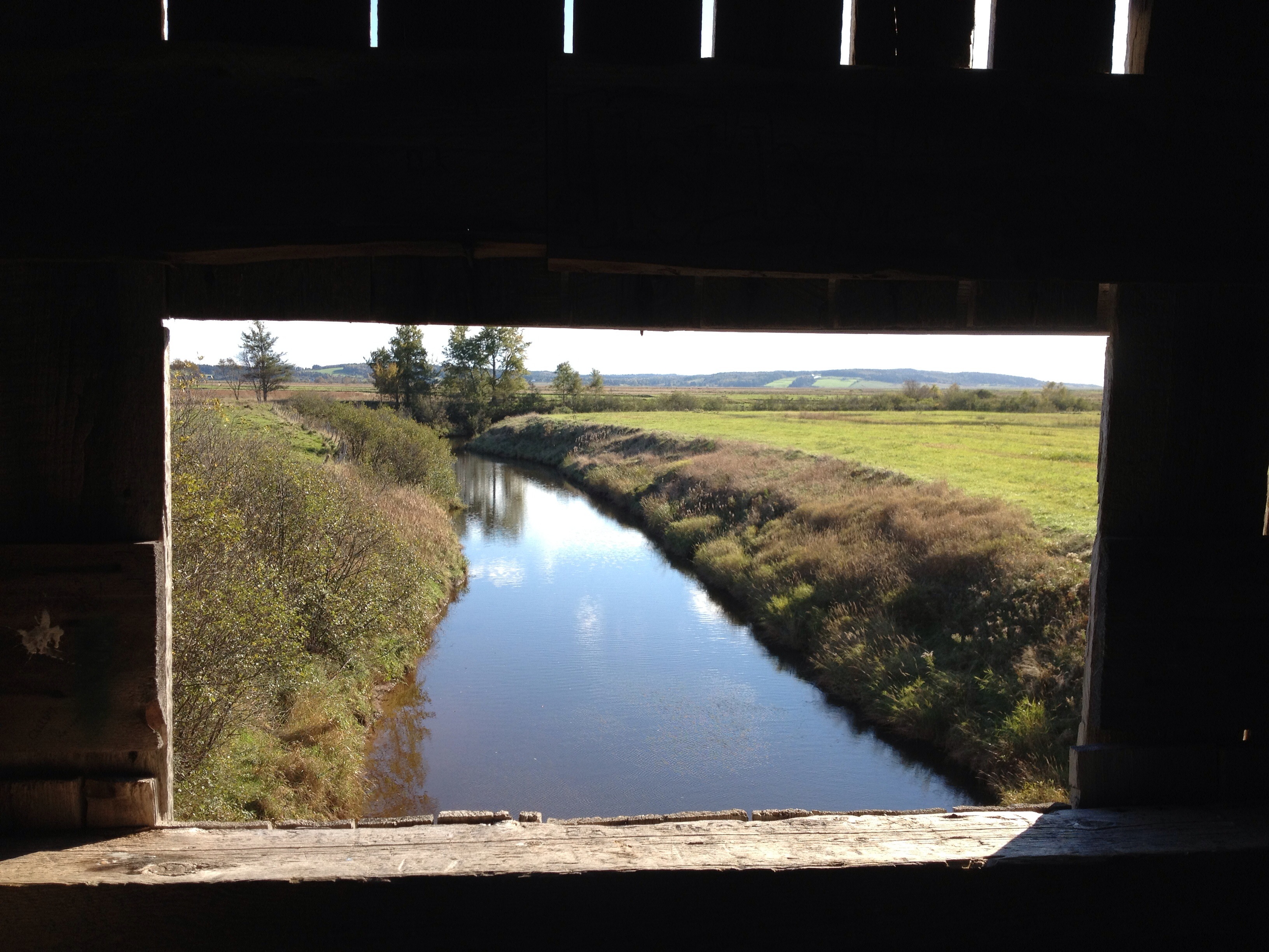
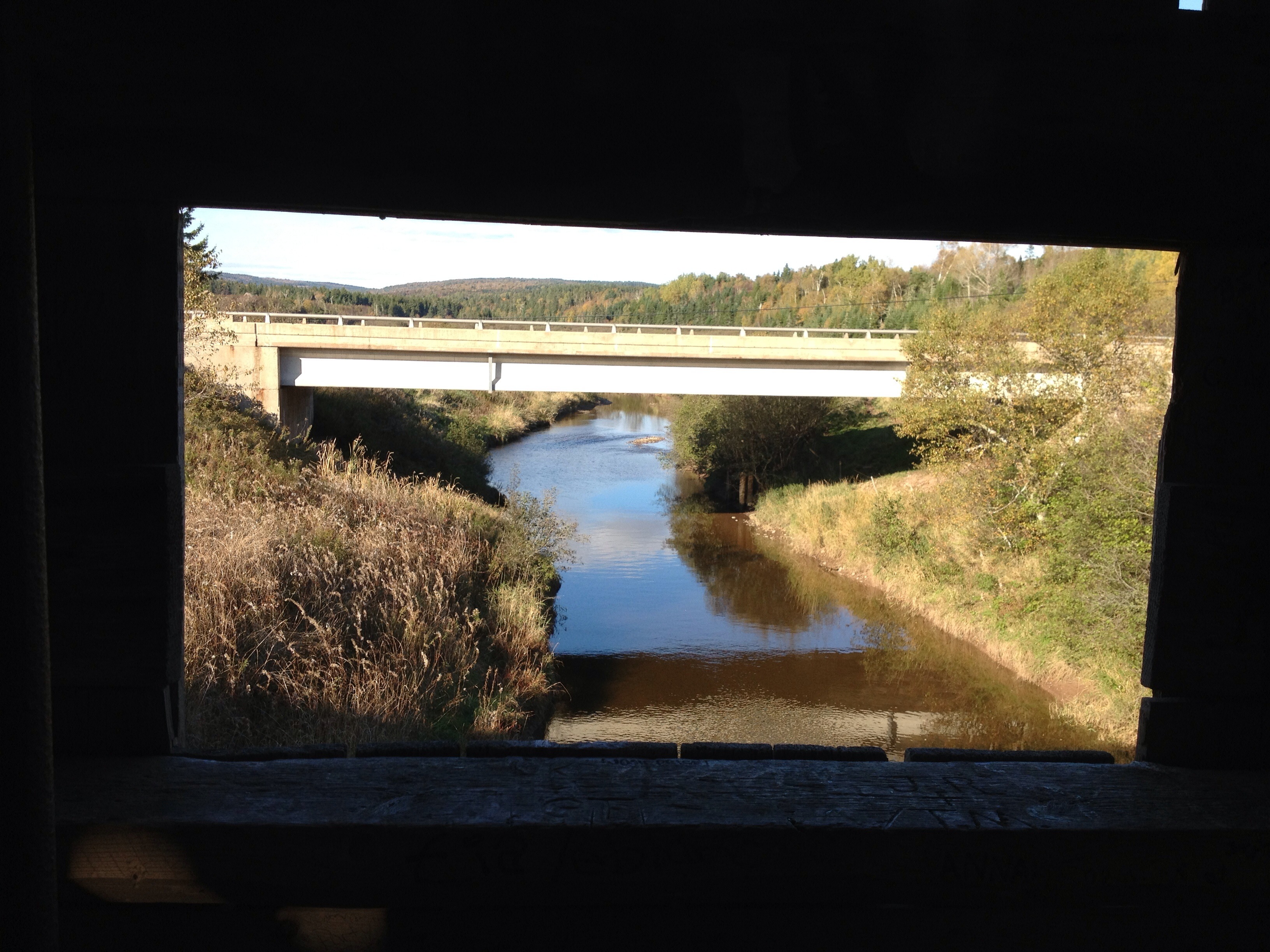
View from the window on covered bridge
Butt Out! :) (20100612-140457-PJG)
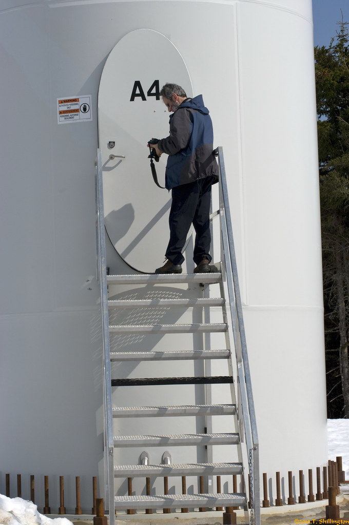
Base of Wind Turbine (TS IMGP4476)
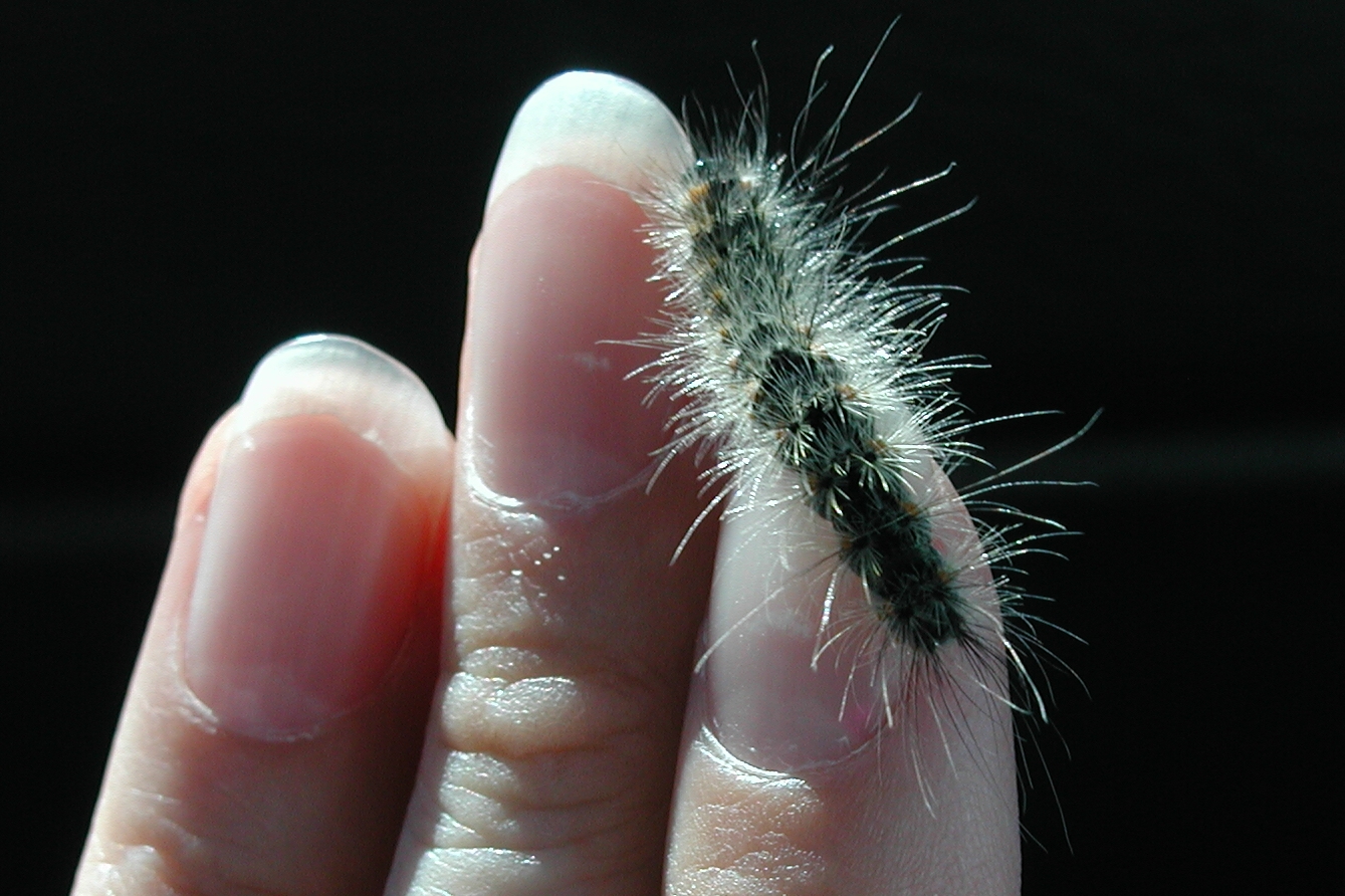
8140 Fall Webworm Caterpillar, P9050070

Campsite View

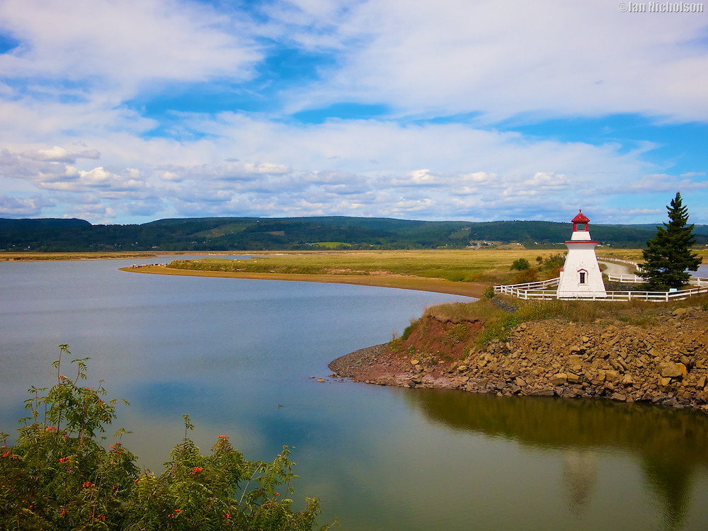
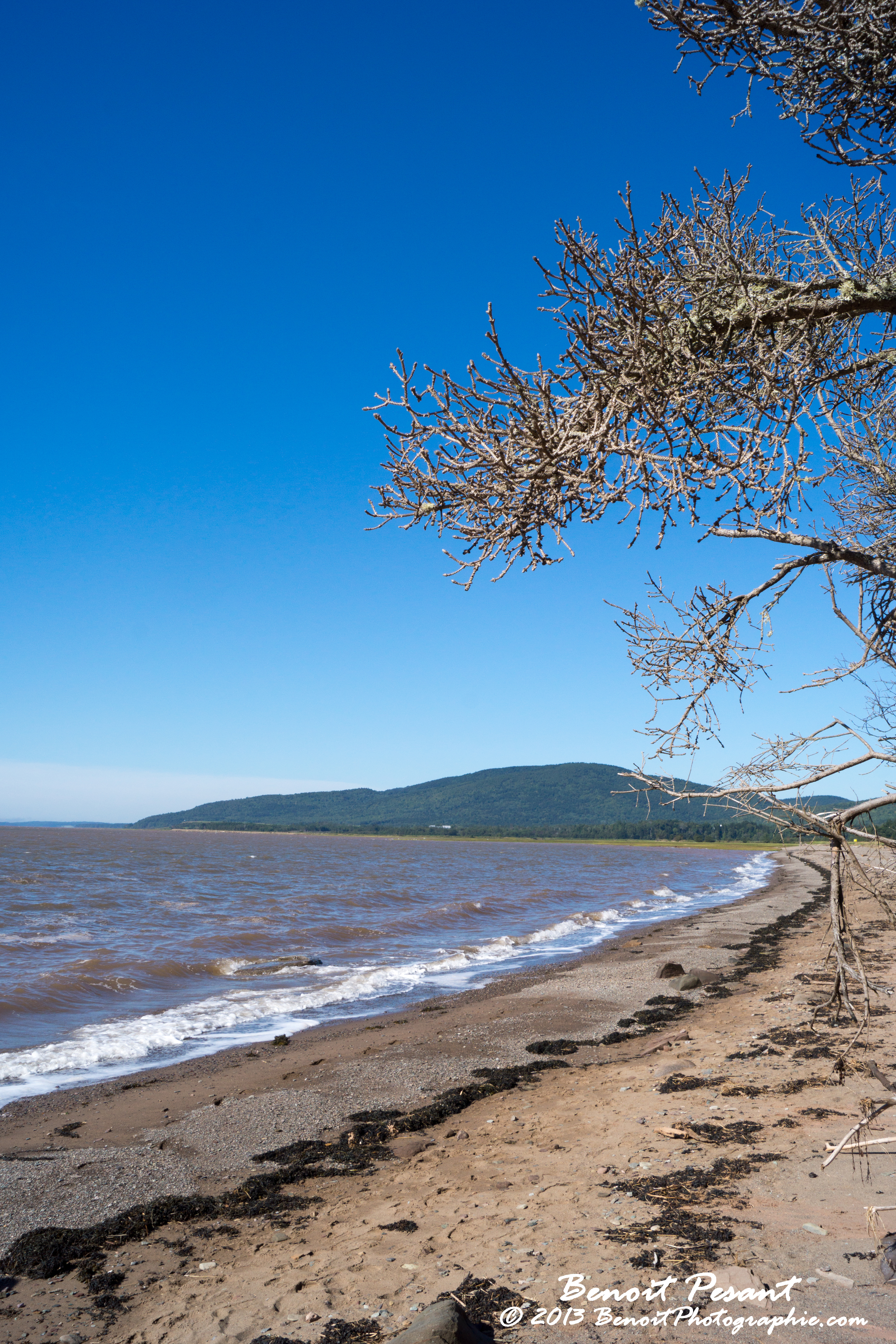
Shepody River - view of South shore

Caledonia MTN_Panorama1
Solitude & Peace (20080911-125600-PJG)
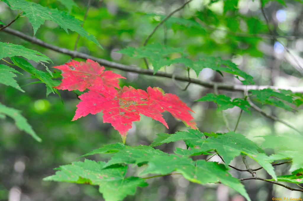
Signs of the Fall (20080911-134512-PJG)
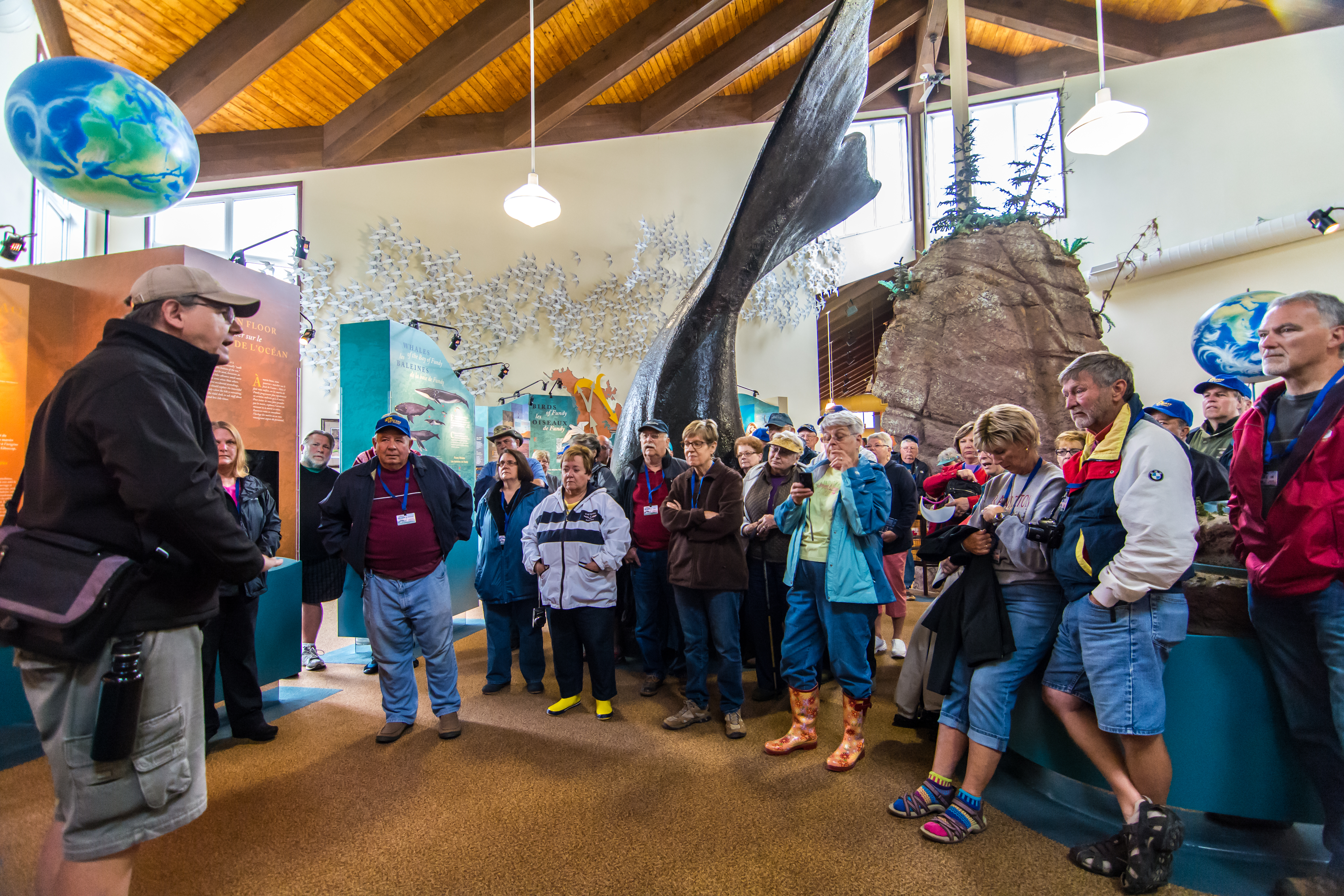
Hopewell Rocks Interpretive Center
Hopewell Rocks, New Brunswick, Canada

Walk for Hope

Chocolate Tide. Diamond Rock, Bay of Fundy. #newbrunswick

Sandstone cliffs and coves, Hopewell Rocks, New Brunswick, Canada
The ocean’s floor and flowerpot rocks visable at low tide, Hopewell Rocks

Cliffs and rocky coastline at Hopewell Cape, New Brunswick, Canada
Naptime!!! #explorecanada
Hopewell Rocks, flowerpot rock formations, New Brunswick, Canada
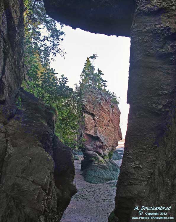
Low tide revels flowerpot rock formations topped with trees - Hopewell Rocks, New Brunswick, Canada

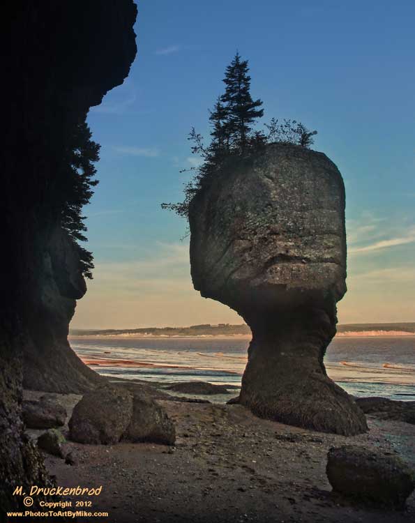
Flowerpot rocks at Hopewell Cape, New Brunswick - sunset
DSC07799-mk
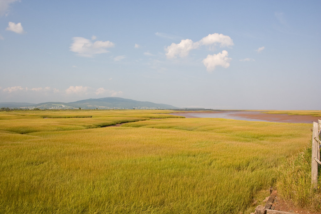
Mary's Point

Hopewell Rocks
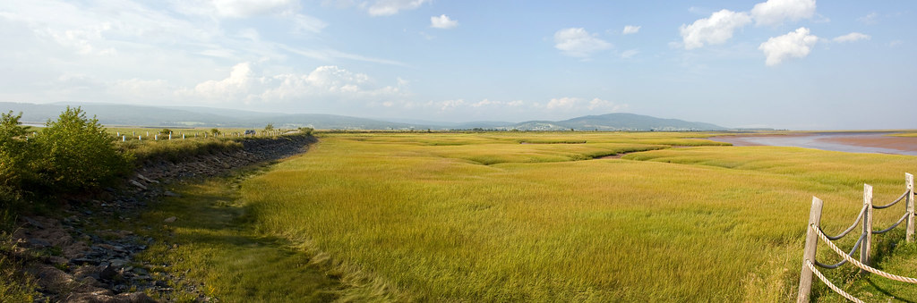
Mary's Point
Topographic Map of Albert County, NB, Canada
Find elevation by address:

Places in Albert County, NB, Canada:
Harvey
Elgin
Coverdale
Hillsborough
Hillsborough
Riverview
Harvey
Harvey
Harvey
Harvey
Harvey
Hopewell March Rd, Hopewell Hill, NB E4H 3M8, Canada
Main St, Hopewell Cape, NB E4H 3J9, Canada
Hopewell
Alma Parish
Places near Albert County, NB, Canada:
1020 Caledonia Mountain Rd
1020 Caledonia Mountain Rd
1020 Caledonia Mountain Rd
1036 Caledonia Mountain Rd
1036 Caledonia Mountain Rd
Main St, Germantown, NB E4H 2K2, Canada
Caledonia Mountain
39 Marys Point Rd
32 Marys Point Rd
Harvey
Harvey
Harvey
Harvey
Harvey
Harvey
Harvey
120 Marys Point Rd
399 Nb-915
Rosevale
E4h 1c9
Recent Searches:
- Elevation of Corso Fratelli Cairoli, 35, Macerata MC, Italy
- Elevation of Tallevast Rd, Sarasota, FL, USA
- Elevation of 4th St E, Sonoma, CA, USA
- Elevation of Black Hollow Rd, Pennsdale, PA, USA
- Elevation of Oakland Ave, Williamsport, PA, USA
- Elevation of Pedrógão Grande, Portugal
- Elevation of Klee Dr, Martinsburg, WV, USA
- Elevation of Via Roma, Pieranica CR, Italy
- Elevation of Tavkvetili Mountain, Georgia
- Elevation of Hartfords Bluff Cir, Mt Pleasant, SC, USA