Elevation of Caledonia Mountain, NB E4H, Canada
Location: Canada > New Brunswick > Albert County > Hillsborough >
Longitude: -64.8
Latitude: 45.85
Elevation: 360m / 1181feet
Barometric Pressure: 97KPa
Elevation Map:
Satellite Map:
Related Photos:

Crooked Creek Look-off - UNESCO Fundy Biosphere, Albert County, NB, Canada.
Anderson Hollow
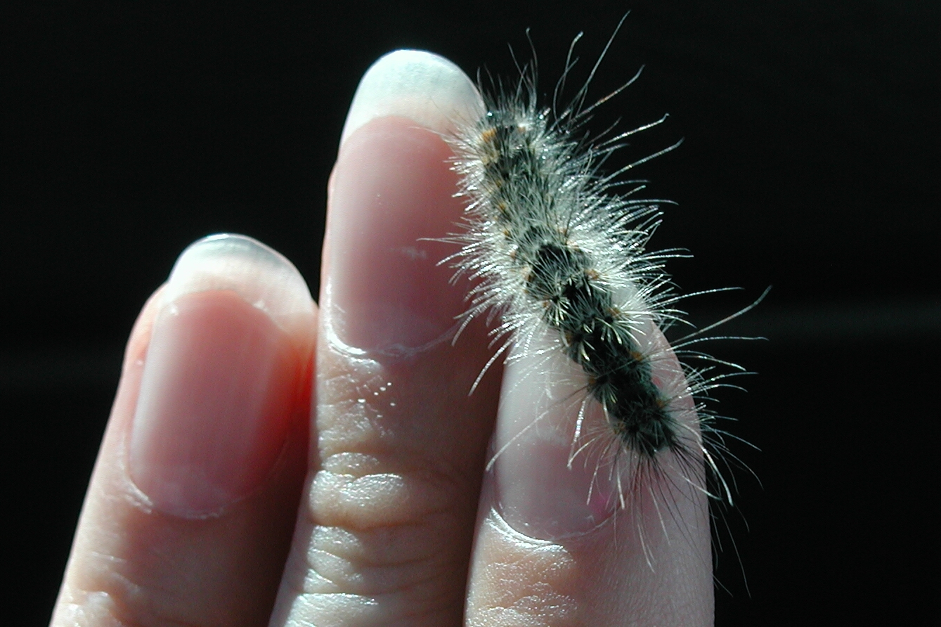
8140 Fall Webworm Caterpillar, P9050070

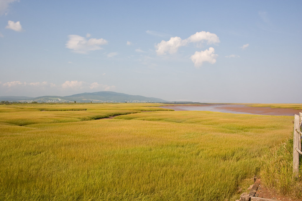
Shepody River - view of South shore

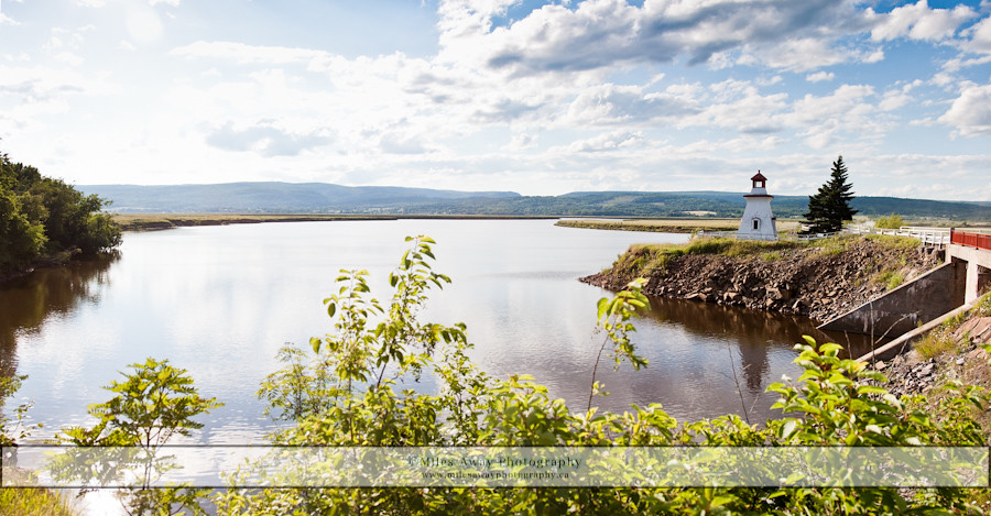
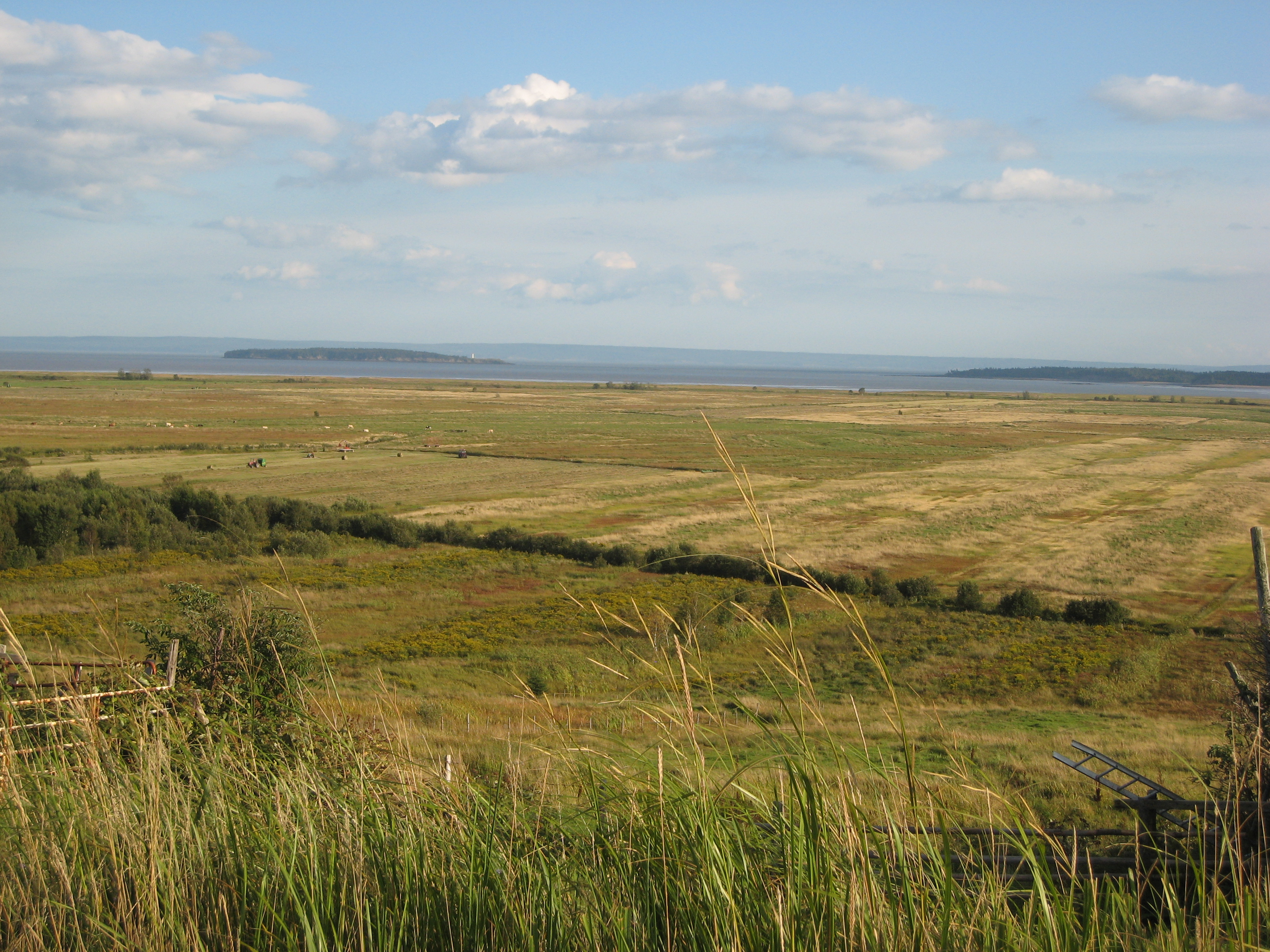
Caledonia MTN_Panorama1
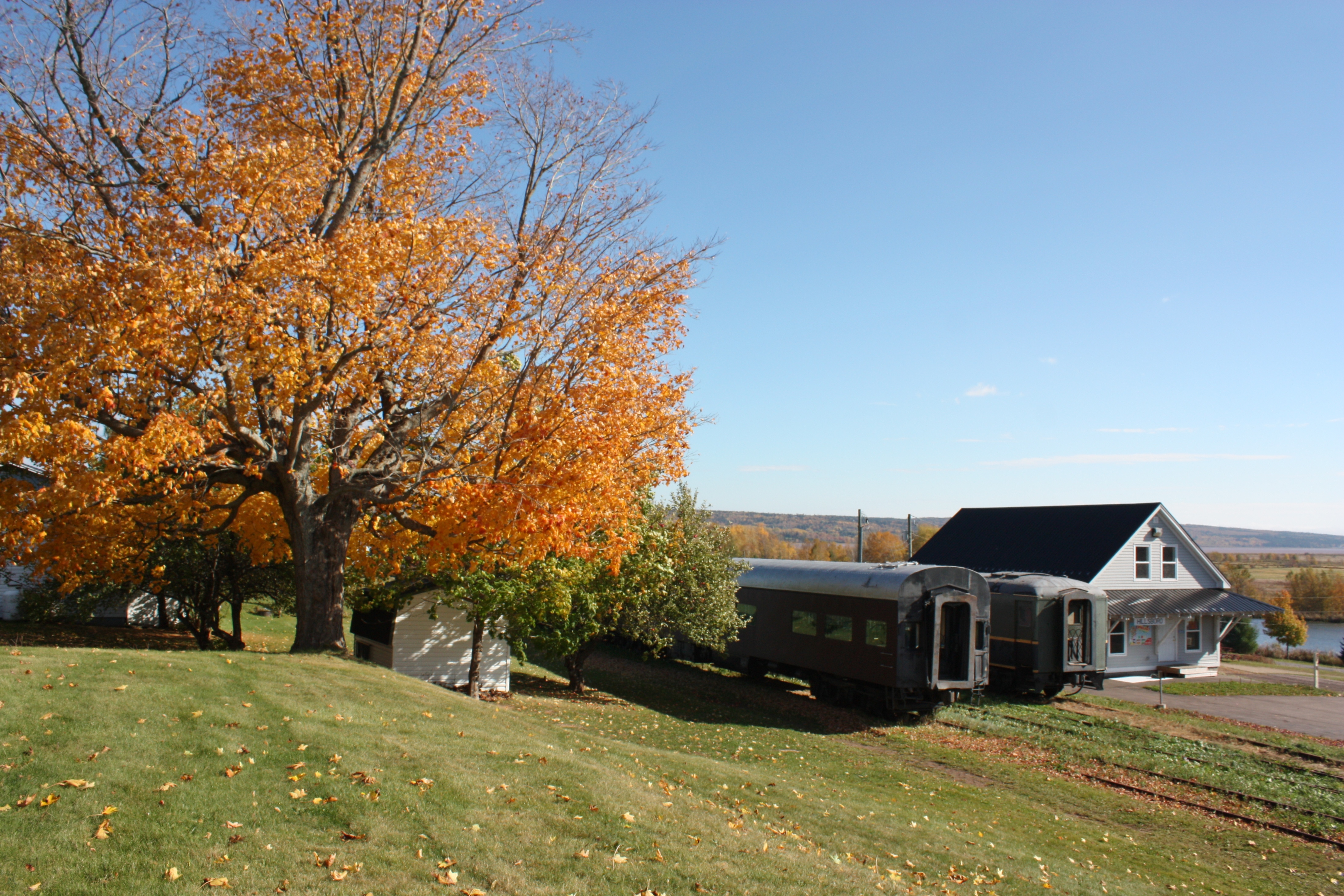
Hillsborough, New Brunswick
Hillsborough, New Brunswick
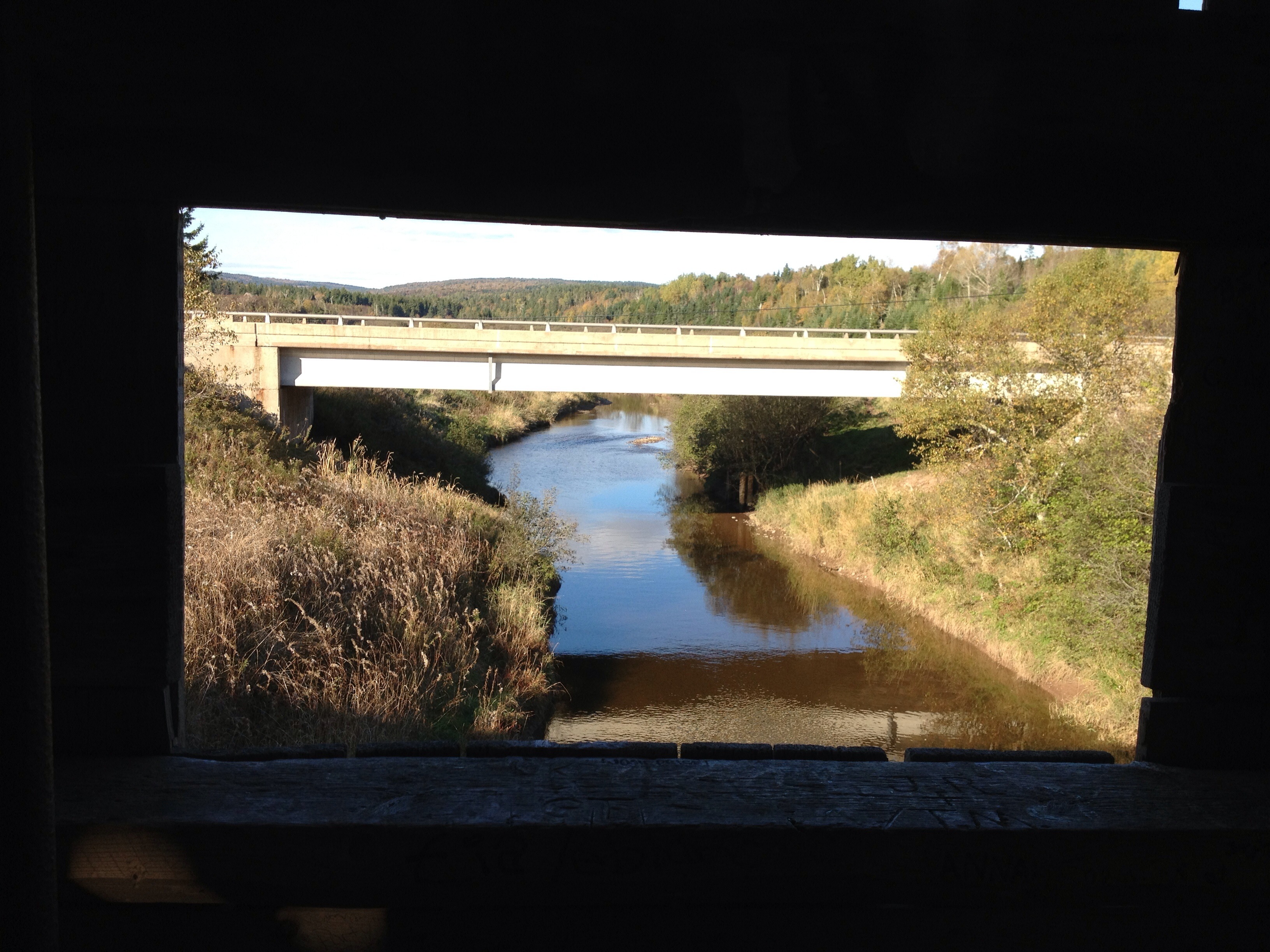
View from covered bridge
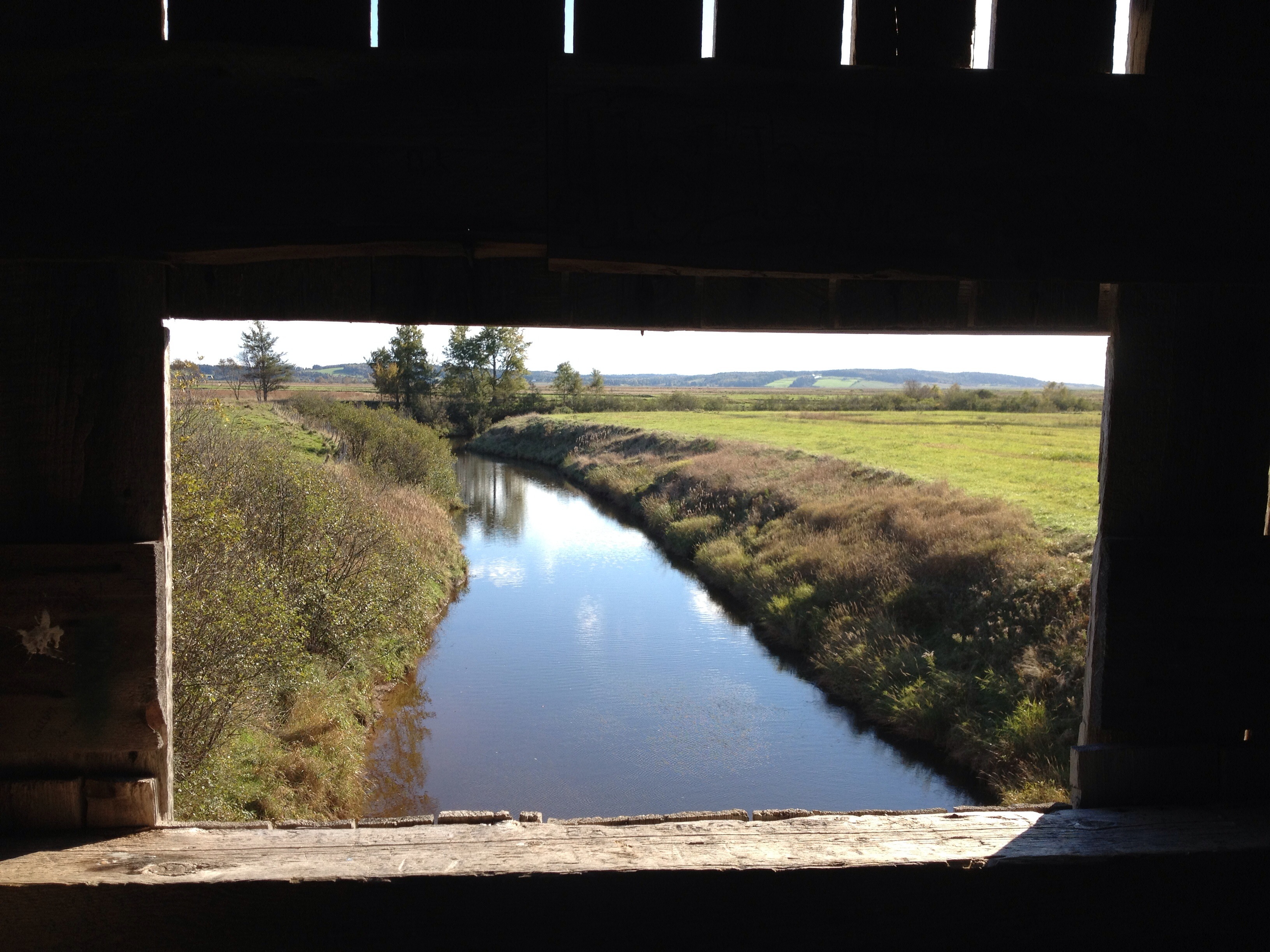
View from the window on covered bridge

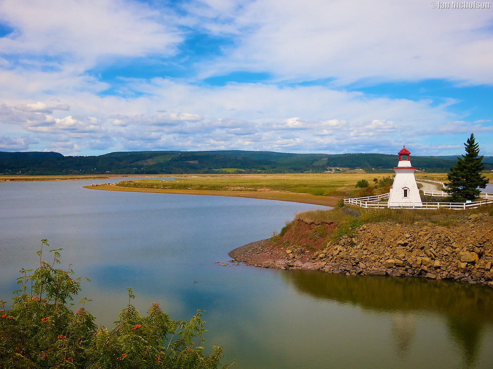
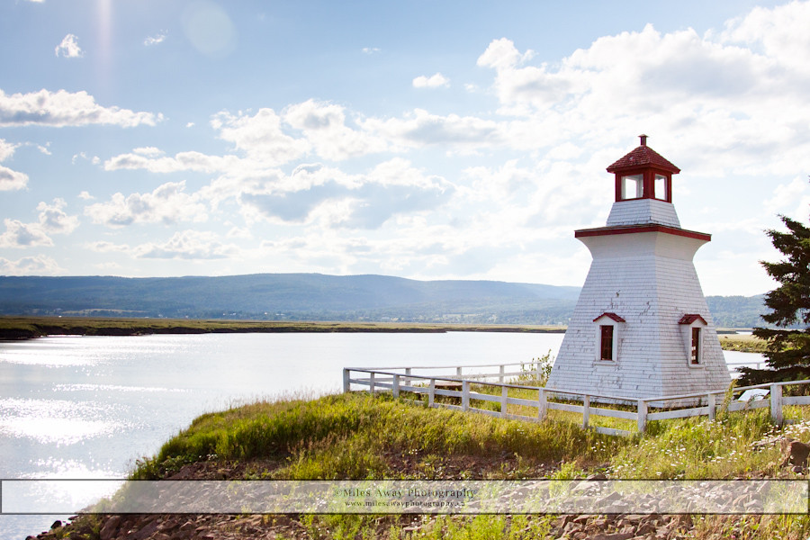
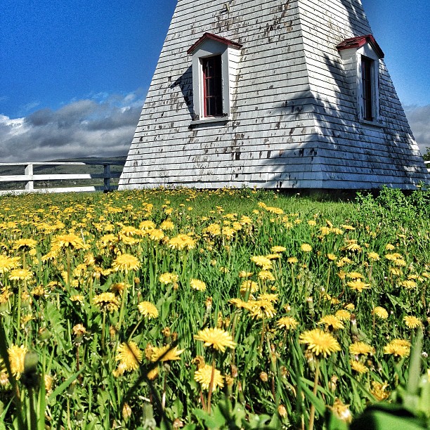
Anderson's Hollow Lighthouse
Harvey Bank Heritage Shipyard
Riverside-Albert Fields

Mary's Point - Harvey Bank
Anderson's Hollow Lighthouse
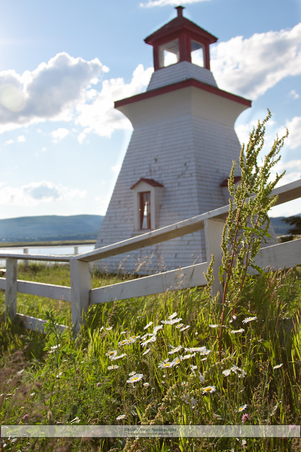
Anderson's Hollow Lighthouse
Naptime!!! #explorecanada
Mary's Point

Shepody Bay International Shorebird Reserve
Mary's Point

Lars Larsen Marsh
Shepody River - looking east
Caledonia MTN_Panorama5
In Albert County
Mary's Point
Submerged fence
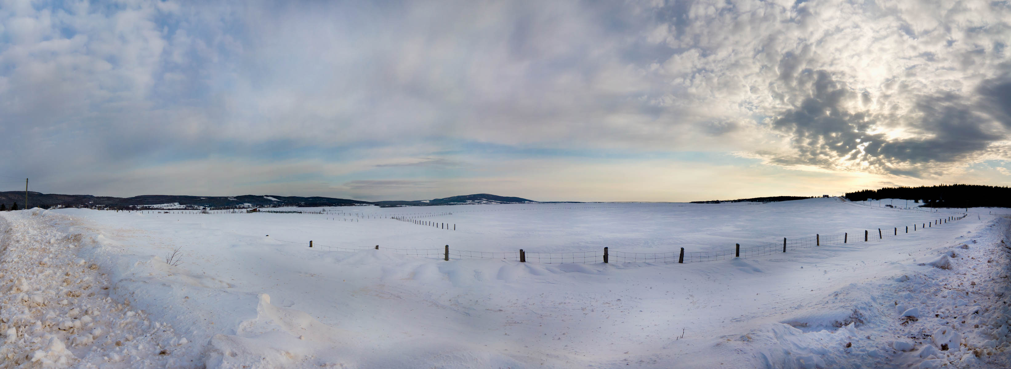
Riverside-Albert_Panorama1
Riverside-Albert_Panorama3
2009 Trip - Bay of Fundy
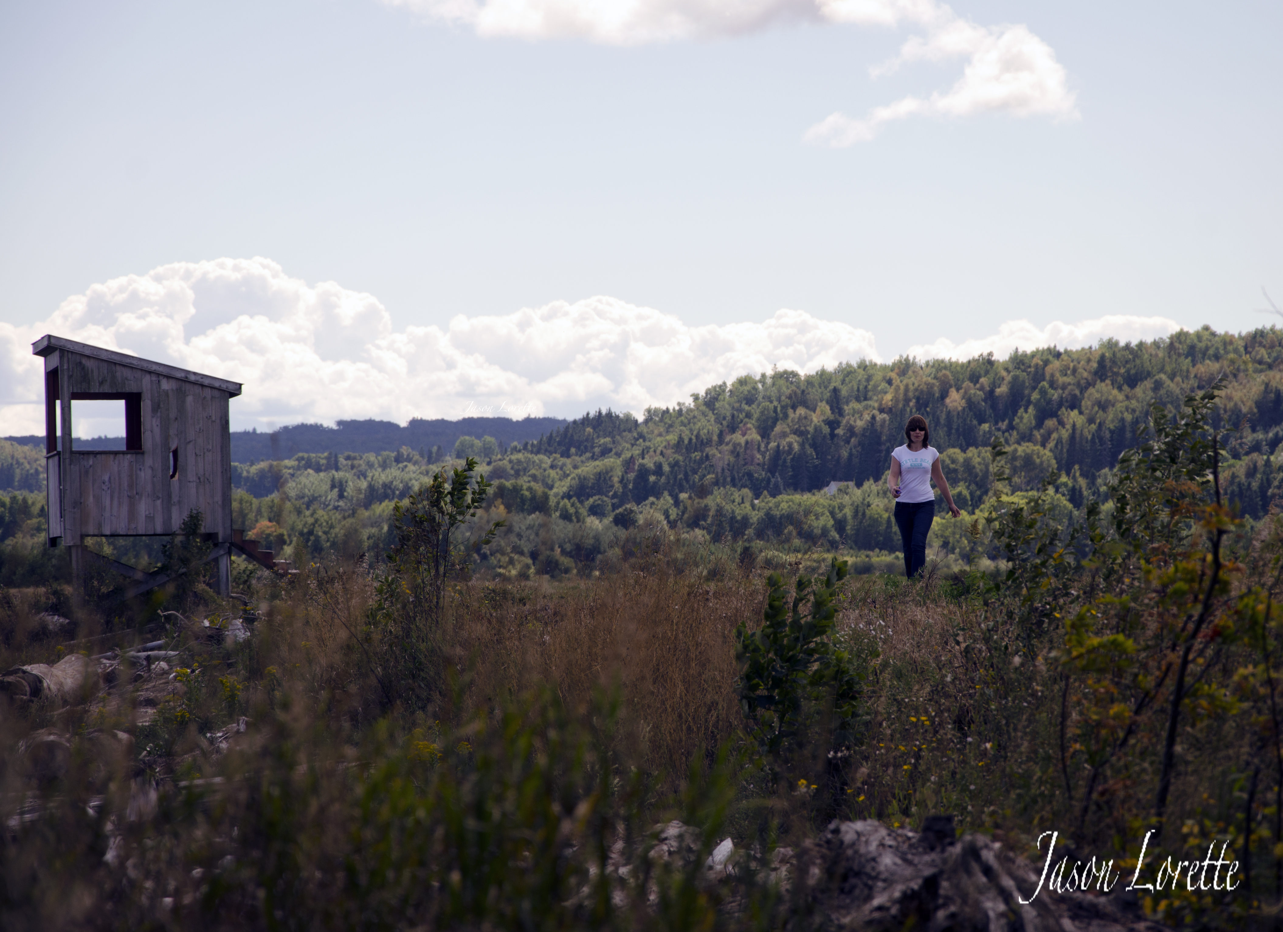
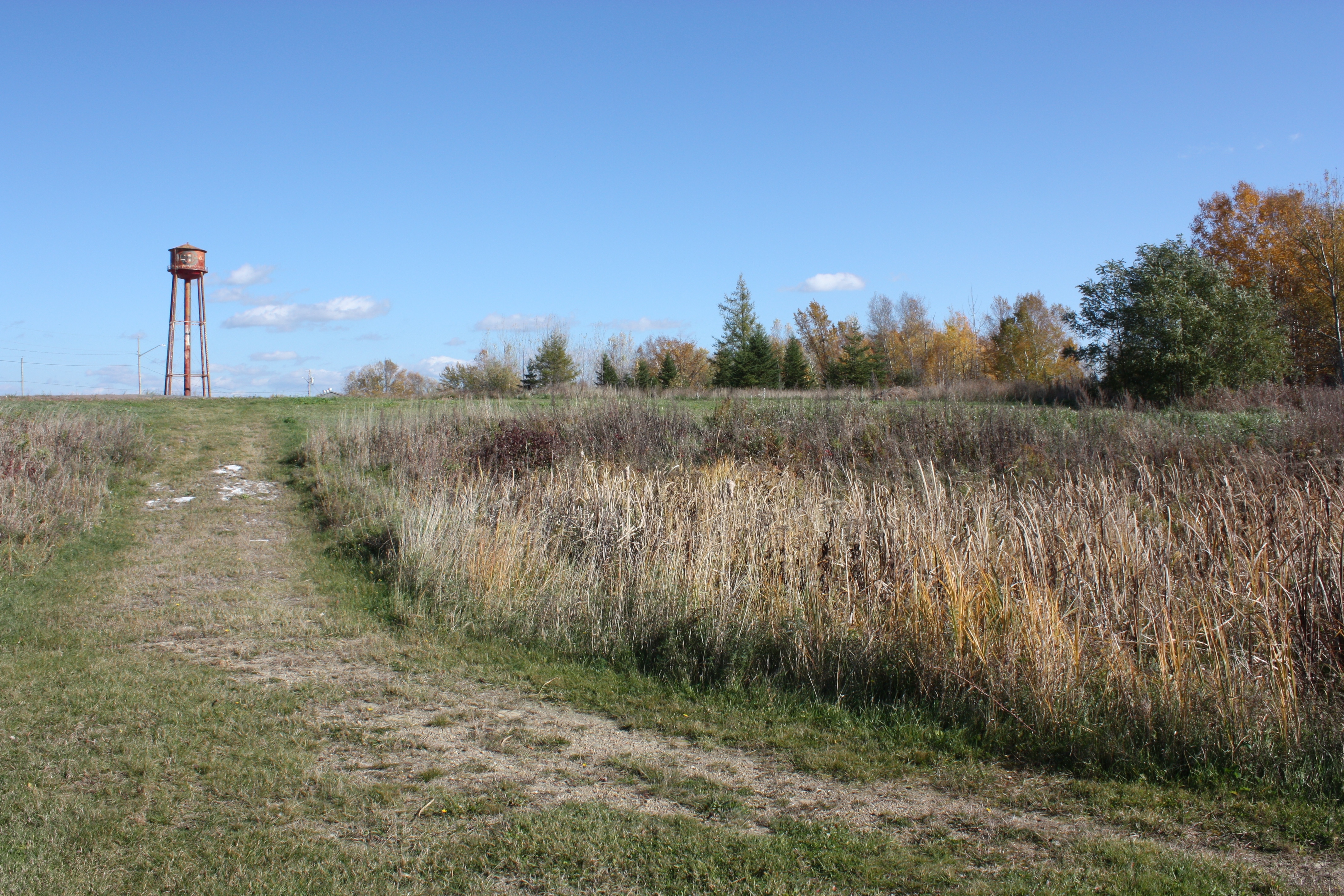
Nature exploring near Hillsborough, NB
Topographic Map of Caledonia Mountain, NB E4H, Canada
Find elevation by address:

Places near Caledonia Mountain, NB E4H, Canada:
1036 Caledonia Mountain Rd
1036 Caledonia Mountain Rd
1020 Caledonia Mountain Rd
1020 Caledonia Mountain Rd
1020 Caledonia Mountain Rd
Rosevale
Albert County
E4h 1c9
Main St, Germantown, NB E4H 2K2, Canada
39 Marys Point Rd
32 Marys Point Rd
Harvey
Harvey
Harvey
Harvey
Harvey
Harvey
Harvey
120 Marys Point Rd
399 Nb-915
Recent Searches:
- Elevation of Congressional Dr, Stevensville, MD, USA
- Elevation of Bellview Rd, McLean, VA, USA
- Elevation of Stage Island Rd, Chatham, MA, USA
- Elevation of Shibuya Scramble Crossing, 21 Udagawacho, Shibuya City, Tokyo -, Japan
- Elevation of Jadagoniai, Kaunas District Municipality, Lithuania
- Elevation of Pagonija rock, Kranto 7-oji g. 8"N, Kaunas, Lithuania
- Elevation of Co Rd 87, Jamestown, CO, USA
- Elevation of Tenjo, Cundinamarca, Colombia
- Elevation of Côte-des-Neiges, Montreal, QC H4A 3J6, Canada
- Elevation of Bobcat Dr, Helena, MT, USA