Elevation of Rosette Lake Road, Rosette Lake Rd, Cariboo F, BC V0K, Canada
Location: Canada > British Columbia > Cariboo > Cariboo F > Likely >
Longitude: -121.56389
Latitude: 52.6167078
Elevation: 766m / 2513feet
Barometric Pressure: 92KPa
Elevation Map:
Satellite Map:
Related Photos:
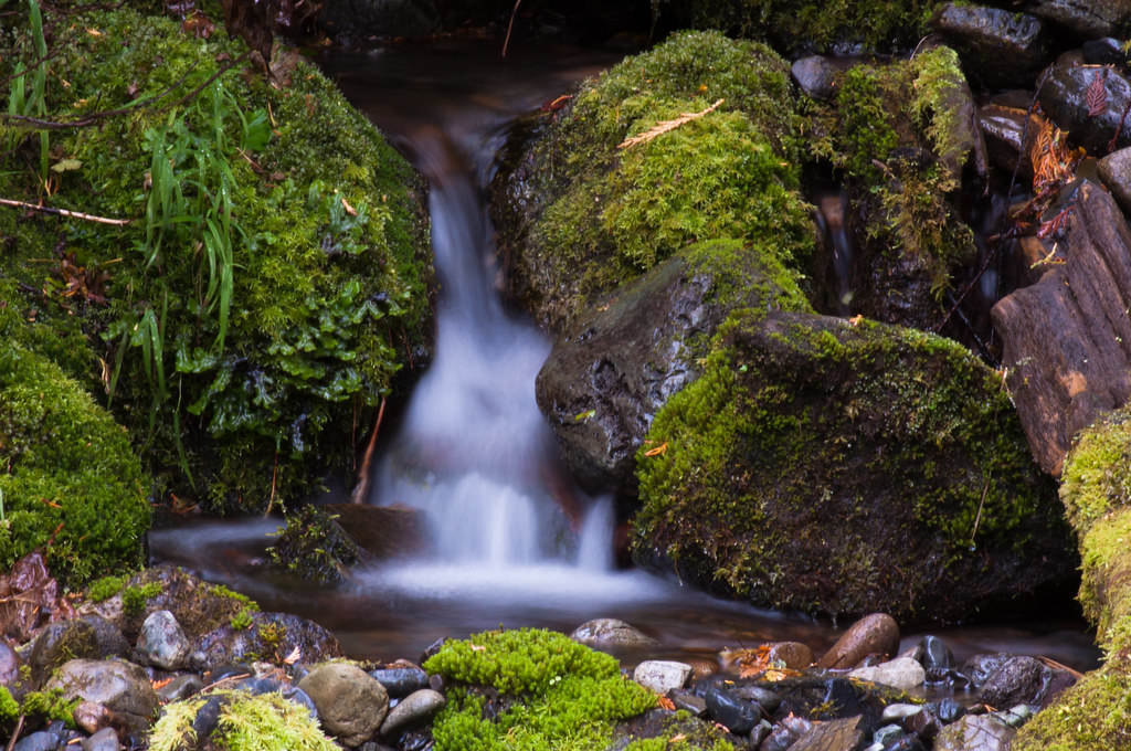
Small Falls 2

Likely Reflections

Caribou River Mist

Small Falls 1

Covid 2020

River Rocks

Glass pain

Window to the past
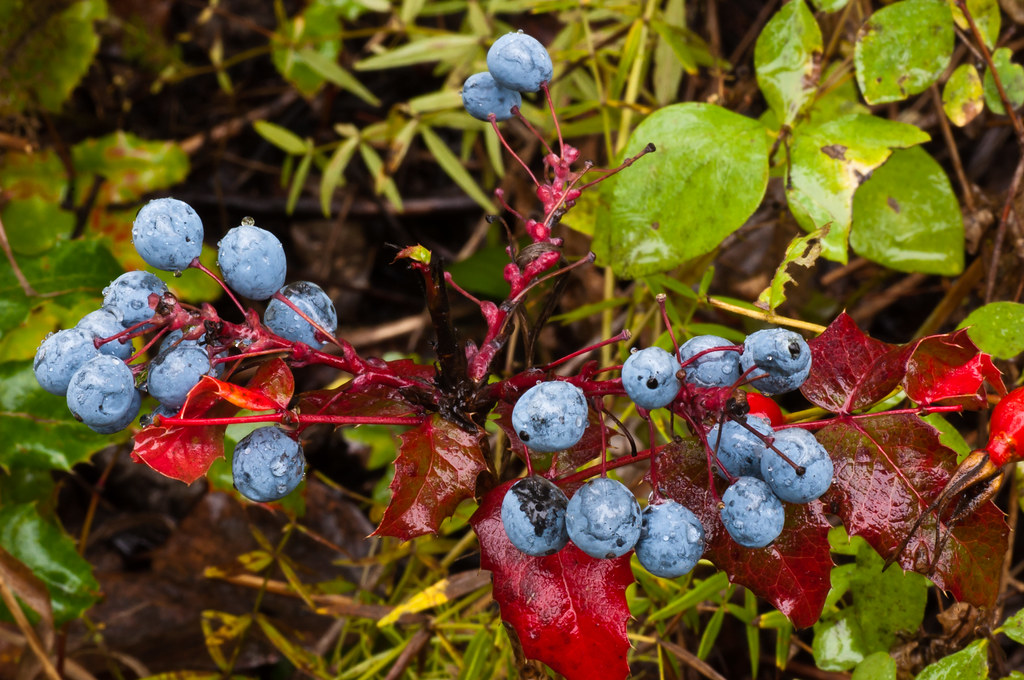
Blue Berry Red Leaf

Autumn Leaf

Steel Man

Likely BC City Hall

Gray Jay
Topographic Map of Rosette Lake Road, Rosette Lake Rd, Cariboo F, BC V0K, Canada
Find elevation by address:

Places near Rosette Lake Road, Rosette Lake Rd, Cariboo F, BC V0K, Canada:
Valley General Store
Likely
Quesnel River Road
Quesnel Forks
Keithley Creek
Cave Road
Horsefly
Bells Lake Road
Big Lake Ranch
Big Lake
Cariboo F
Roundtop Mountain
Likely Road
Front St, Cariboo C, BC V0K, Canada
Barkerville
Reduction Rd, Barkerville, BC V0K 1B0, Canada
Wells
1245 Scheffler Rd
3750 Paradise Dr
Lowhee Dr, Wells, BC V0K 2R0, Canada
Recent Searches:
- Elevation of Co Rd 87, Jamestown, CO, USA
- Elevation of Tenjo, Cundinamarca, Colombia
- Elevation of Côte-des-Neiges, Montreal, QC H4A 3J6, Canada
- Elevation of Bobcat Dr, Helena, MT, USA
- Elevation of Zu den Ihlowbergen, Althüttendorf, Germany
- Elevation of Badaber, Peshawar, Khyber Pakhtunkhwa, Pakistan
- Elevation of SE Heron Loop, Lincoln City, OR, USA
- Elevation of Slanický ostrov, 01 Námestovo, Slovakia
- Elevation of Spaceport America, Co Rd A, Truth or Consequences, NM, USA
- Elevation of Warwick, RI, USA