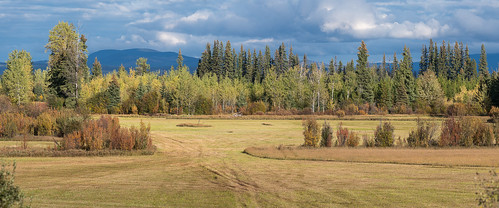
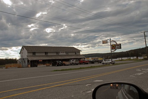
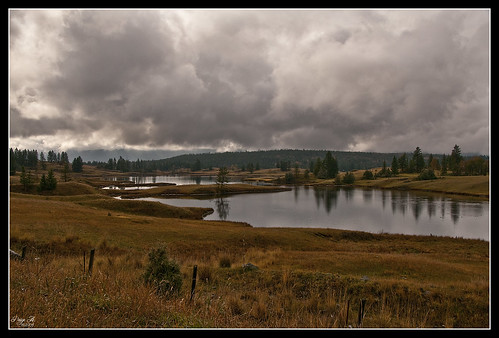
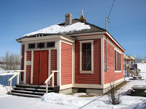
Elevation of Scheffler Rd, Horsefly, BC V0L 1L0, Canada
Location: Canada > British Columbia > Cariboo > Cariboo F > 150 Mile House >
Longitude: -121.78099
Latitude: 52.1953395
Elevation: 1109m / 3638feet
Barometric Pressure: 89KPa
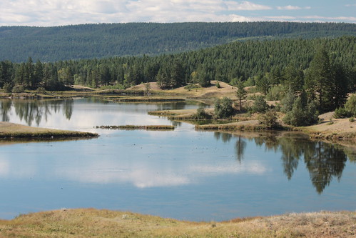
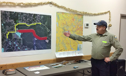
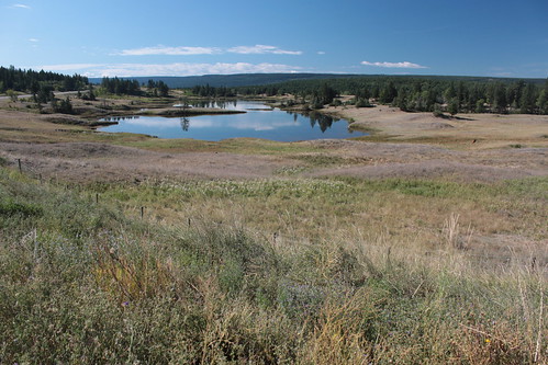
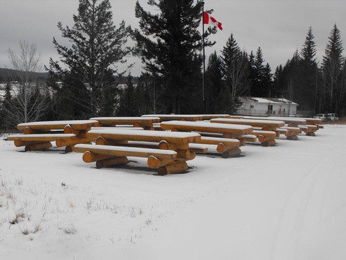
Related Photos:
Topographic Map of Scheffler Rd, Horsefly, BC V0L 1L0, Canada
Find elevation by address:

Places near Scheffler Rd, Horsefly, BC V0L 1L0, Canada:
3750 Paradise Dr
Horsefly Road
3283 Brouse Rd
3222 Horsefly Rd
3220 Evergreen Pl
Likely Road
150 Mile House
Big Lake
Big Lake Ranch
Bells Lake Road
Cave Road
Broadway Avenue South
Lakeview Crescent
Commodore Heights
Williams Lake
500 Wotzke Dr
60 Westridge Dr
335 Mandarino Pl
Horsefly
Cariboo D
Recent Searches:
- Elevation of Groblershoop, South Africa
- Elevation of Power Generation Enterprises | Industrial Diesel Generators, Oak Ave, Canyon Country, CA, USA
- Elevation of Chesaw Rd, Oroville, WA, USA
- Elevation of N, Mt Pleasant, UT, USA
- Elevation of 6 Rue Jules Ferry, Beausoleil, France
- Elevation of Sattva Horizon, 4JC6+G9P, Vinayak Nagar, Kattigenahalli, Bengaluru, Karnataka, India
- Elevation of Great Brook Sports, Gold Star Hwy, Groton, CT, USA
- Elevation of 10 Mountain Laurels Dr, Nashua, NH, USA
- Elevation of 16 Gilboa Ln, Nashua, NH, USA
- Elevation of Laurel Rd, Townsend, TN, USA
