Elevation of Barkerville, BC V0K, Canada
Location: Canada > British Columbia > Cariboo > Cariboo C >
Longitude: -121.51376
Latitude: 53.0703513
Elevation: 1276m / 4186feet
Barometric Pressure: 87KPa
Elevation Map:
Satellite Map:
Related Photos:

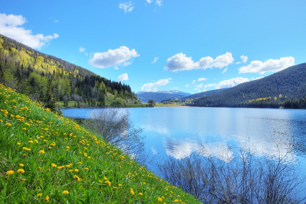
Bowron Lake

An exciting time in Historic Barkerville
Jack of Clubs Lake

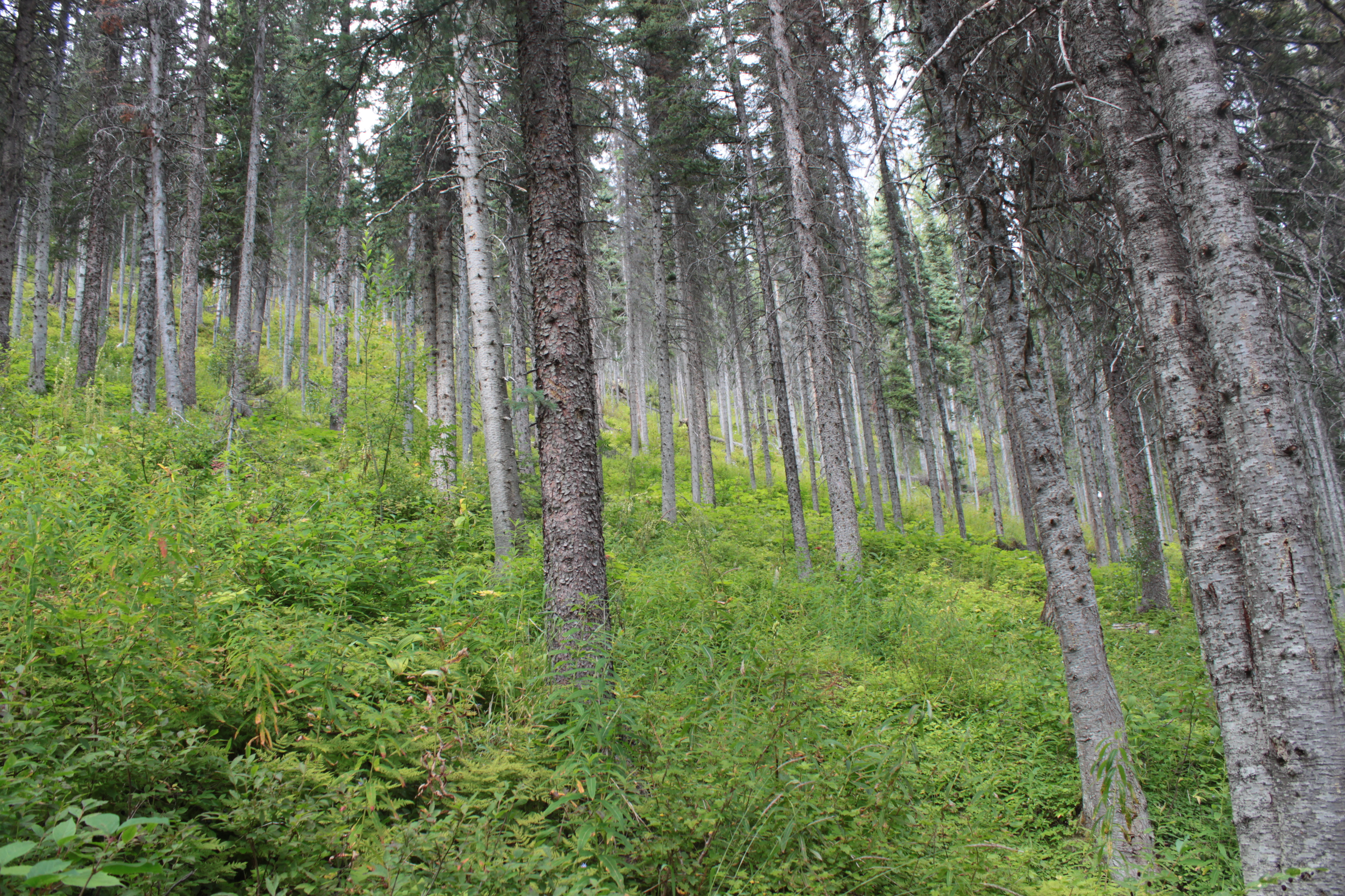
3100 Road_20130814_175

nelsonmouellic.tumblr.com / @nelsonmouellic

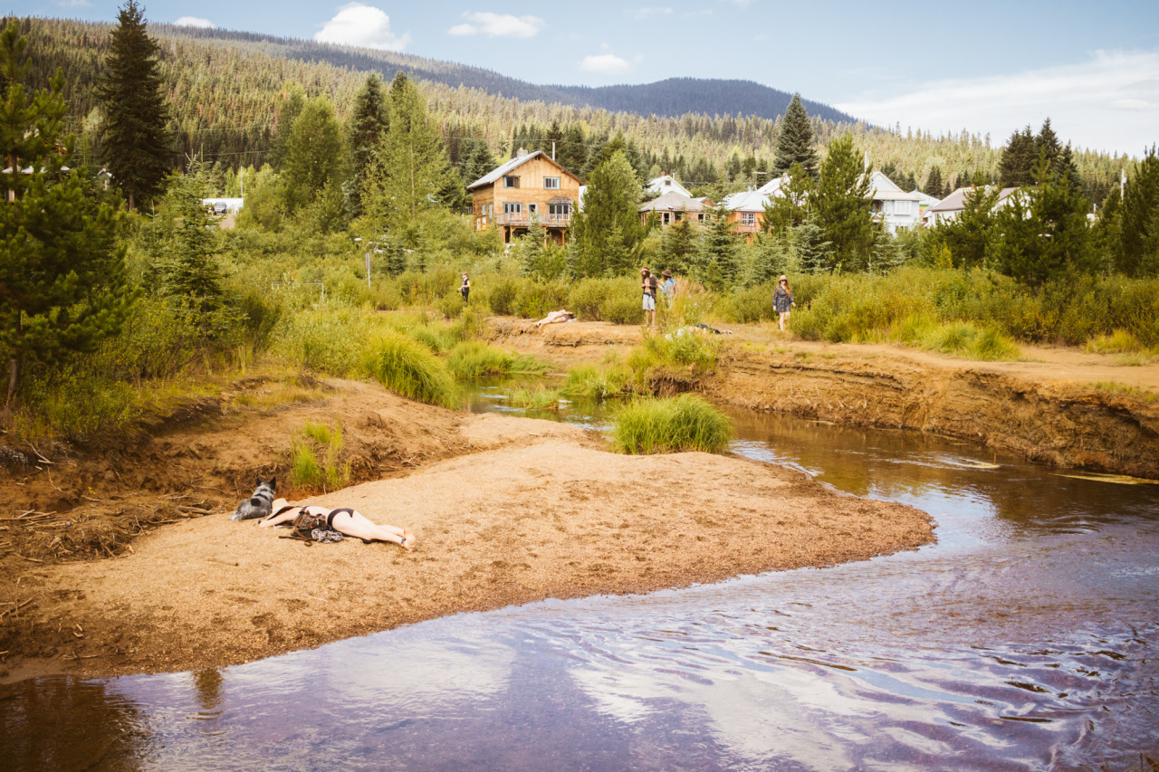
A Brisk Awakening at Bowron Lake Provincial Park

3100 Road_20130814_164

A Brisk Awakening at Bowron Lake Provincial Park

Island Mountain Arts Welcomes Us to Wells
nelsonmouellic.tumblr.com / @nelsonmouellic

20150816-074
20150816-055
Topographic Map of Barkerville, BC V0K, Canada
Find elevation by address:

Places in Barkerville, BC V0K, Canada:
Places near Barkerville, BC V0K, Canada:
Front St, Cariboo C, BC V0K, Canada
Reduction Rd, Barkerville, BC V0K 1B0, Canada
Lowhee Dr, Wells, BC V0K 2R0, Canada
Wells
Wells
Two Sisters Mountain
Roundtop Mountain
Mount Tinsdale
Keithley Creek
Beaver Pass House
Cariboo C
Quesnel Forks
Likely
Rosette Lake Road
Quesnel River Road
Valley General Store
Kaza Mountain
Mount Faulkner
Mount Cochran
Bowron Lake Provincial Park
Recent Searches:
- Elevation of Corso Fratelli Cairoli, 35, Macerata MC, Italy
- Elevation of Tallevast Rd, Sarasota, FL, USA
- Elevation of 4th St E, Sonoma, CA, USA
- Elevation of Black Hollow Rd, Pennsdale, PA, USA
- Elevation of Oakland Ave, Williamsport, PA, USA
- Elevation of Pedrógão Grande, Portugal
- Elevation of Klee Dr, Martinsburg, WV, USA
- Elevation of Via Roma, Pieranica CR, Italy
- Elevation of Tavkvetili Mountain, Georgia
- Elevation of Hartfords Bluff Cir, Mt Pleasant, SC, USA