Elevation of Rosedale Hwy, Bakersfield, CA, USA
Location: United States > California > Kern County > Bakersfield > Rosedale >
Longitude: -119.25029
Latitude: 35.3840829
Elevation: 101m / 331feet
Barometric Pressure: 100KPa
Elevation Map:
Satellite Map:
Related Photos:

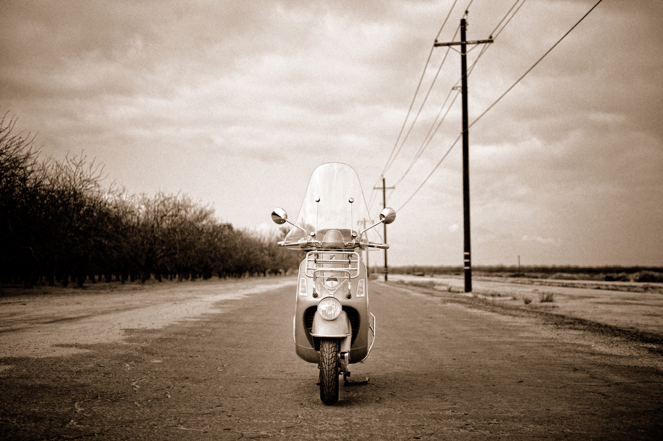
80's Shape
Sophia (Explored)

Purple Poly Hoodie
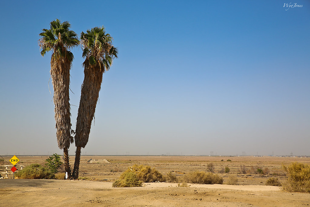
End of The Road

Sara B&W

View from the Park at Riverwalk
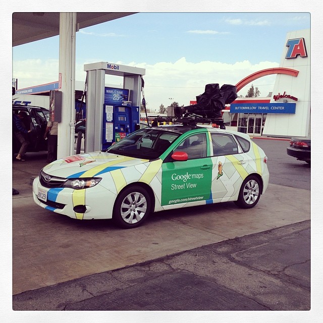
Google Maps Street View Car

Riverwalk Park 1
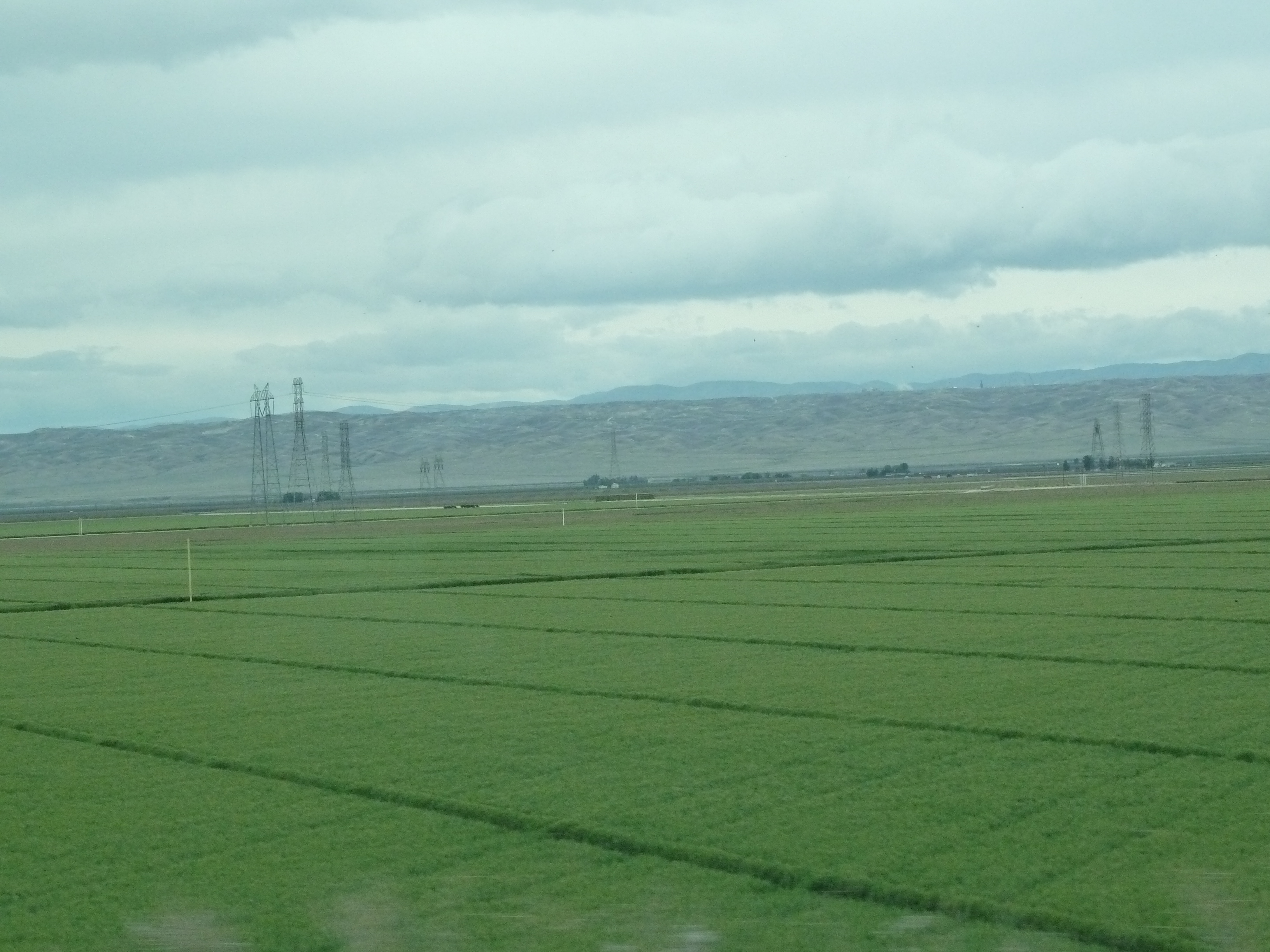
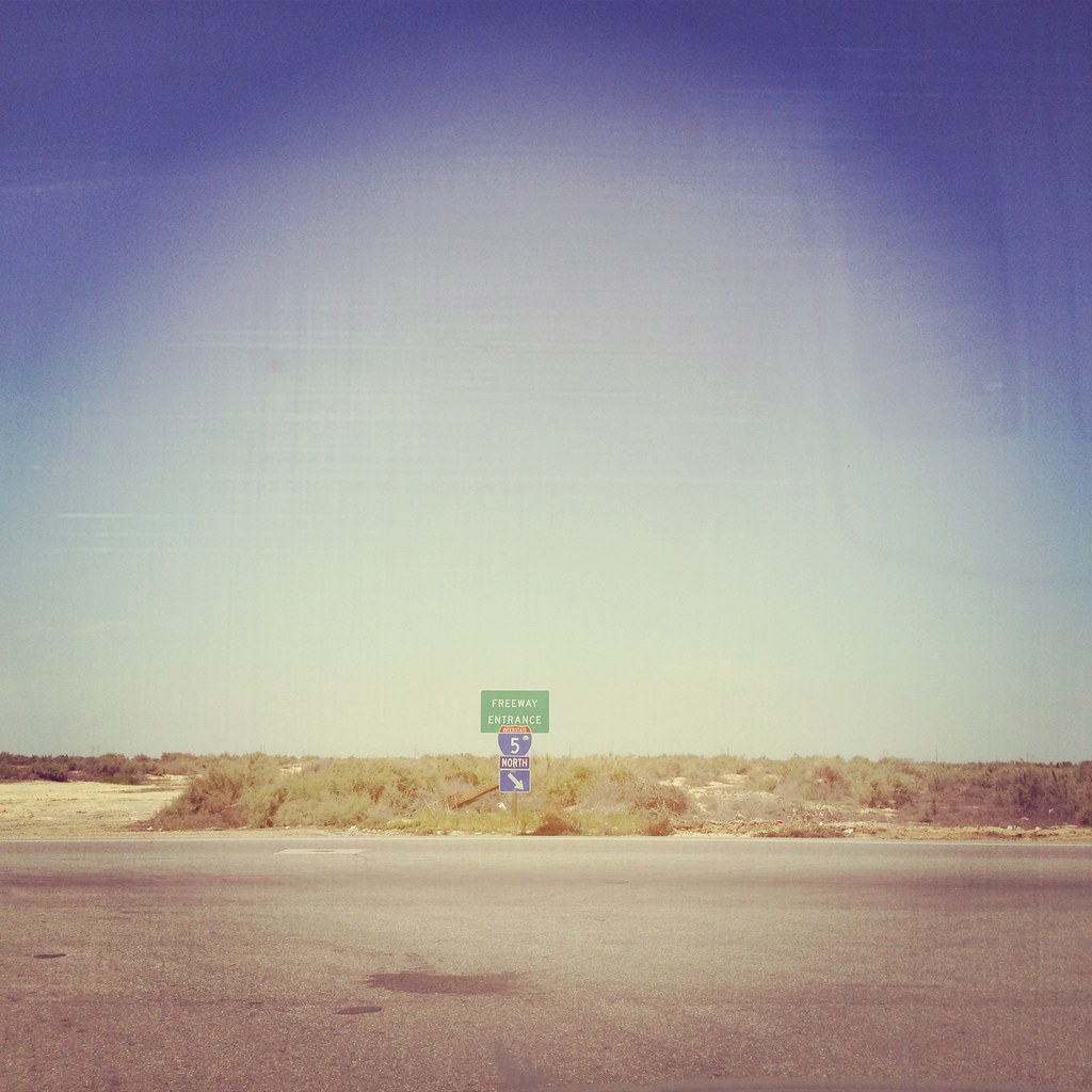
i5 views

20130314_Station 65_0051.jpg

10.12.102.ii

i5 views
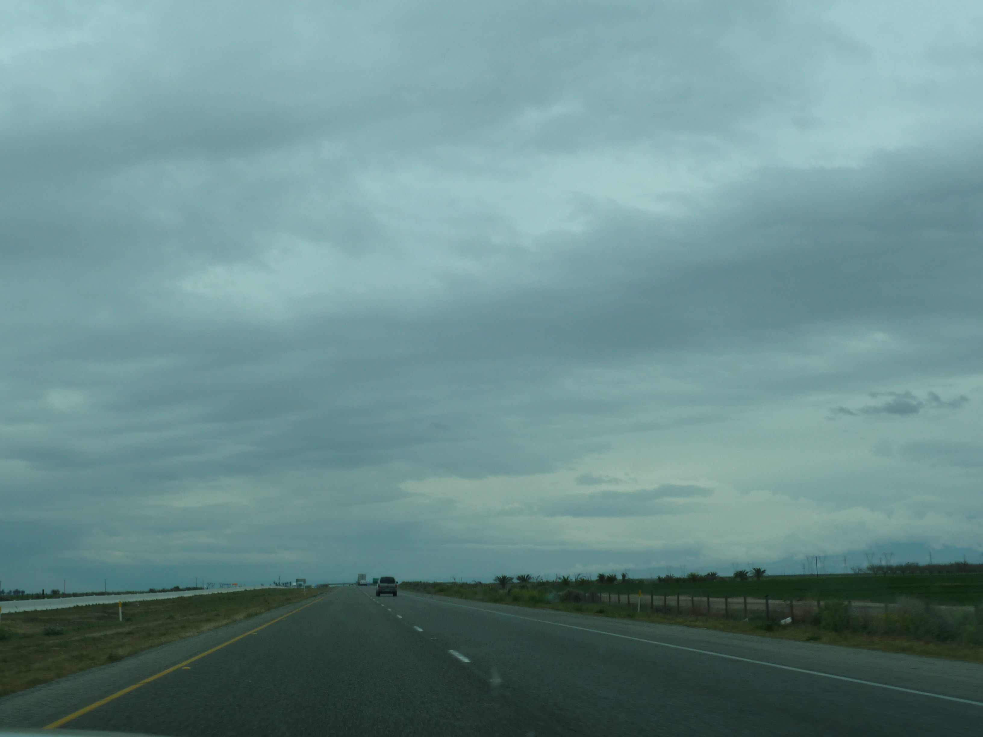
i5 views
i5 views

Blossoms and a Reflection
7-09 120

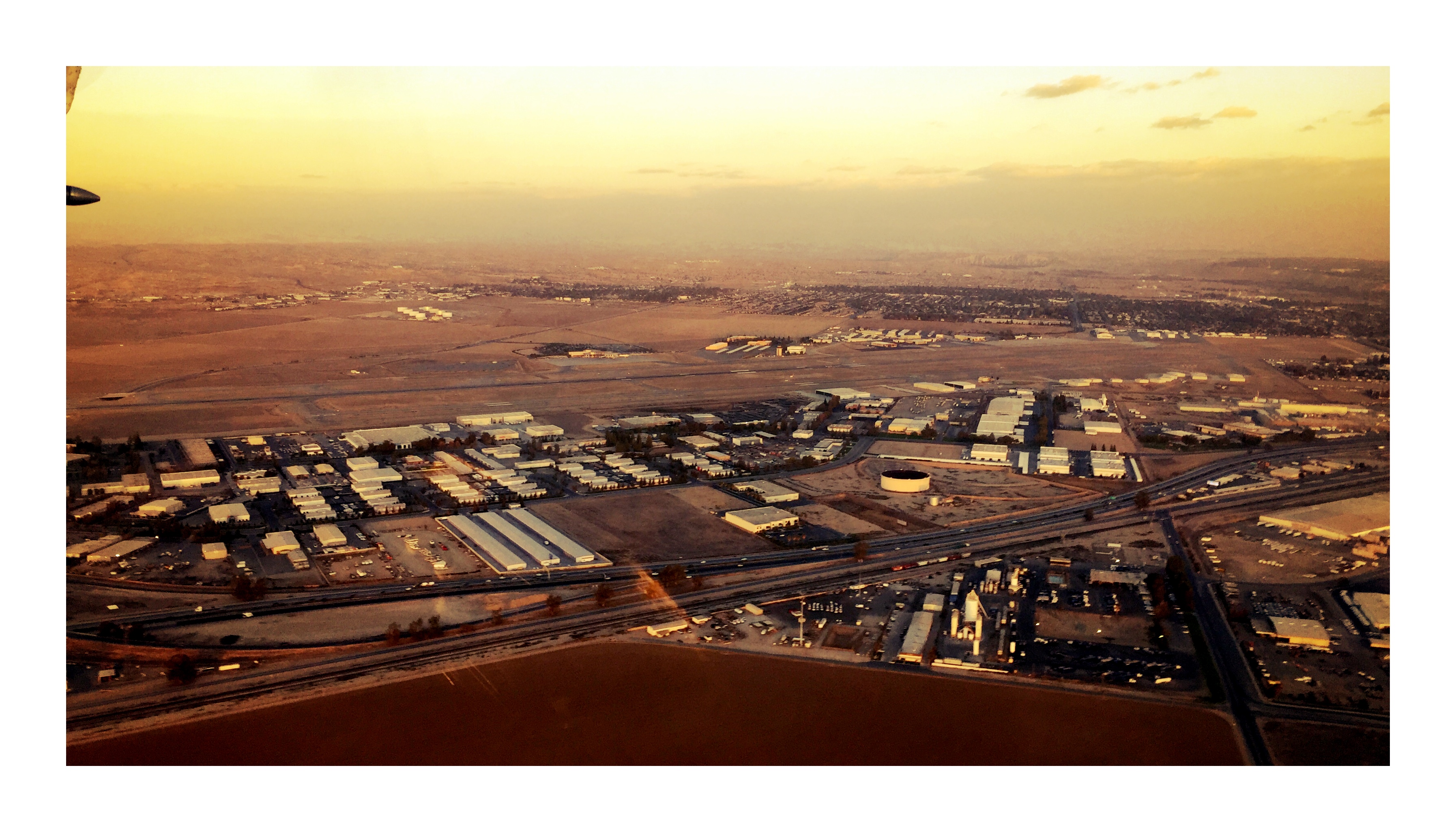
A View of the Lerdo Highway and Offramp California 99 Interchange

7-09 121
7-16-09 117a
7-16-09 102
5-31-9 002

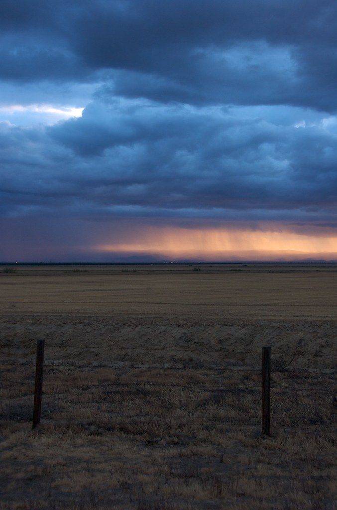
Bakersfield Thunderstorms
the gunslingers | central valley, california
California Aqueduct
Rain in the Valley
Freeway to Nowhere
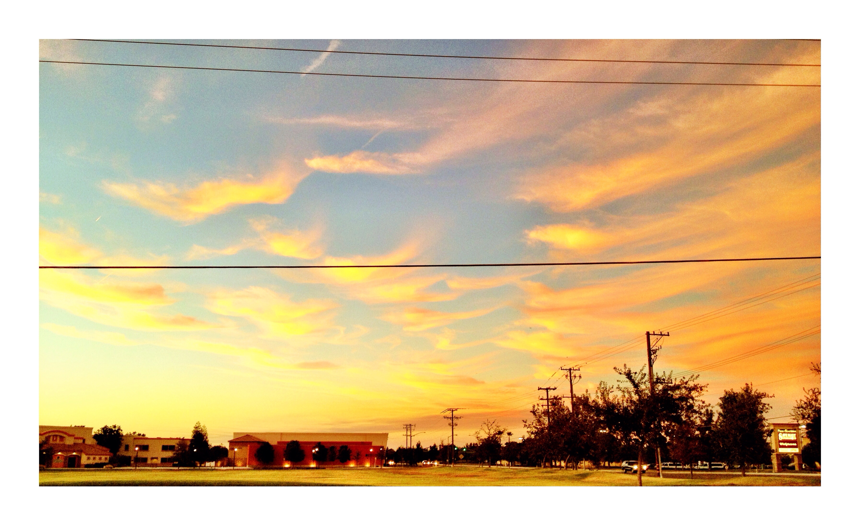
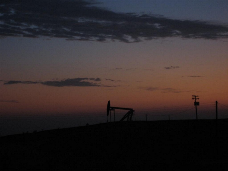
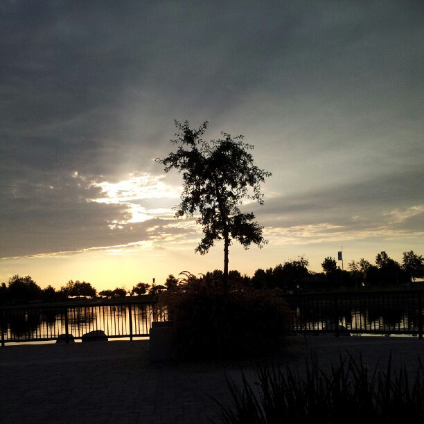
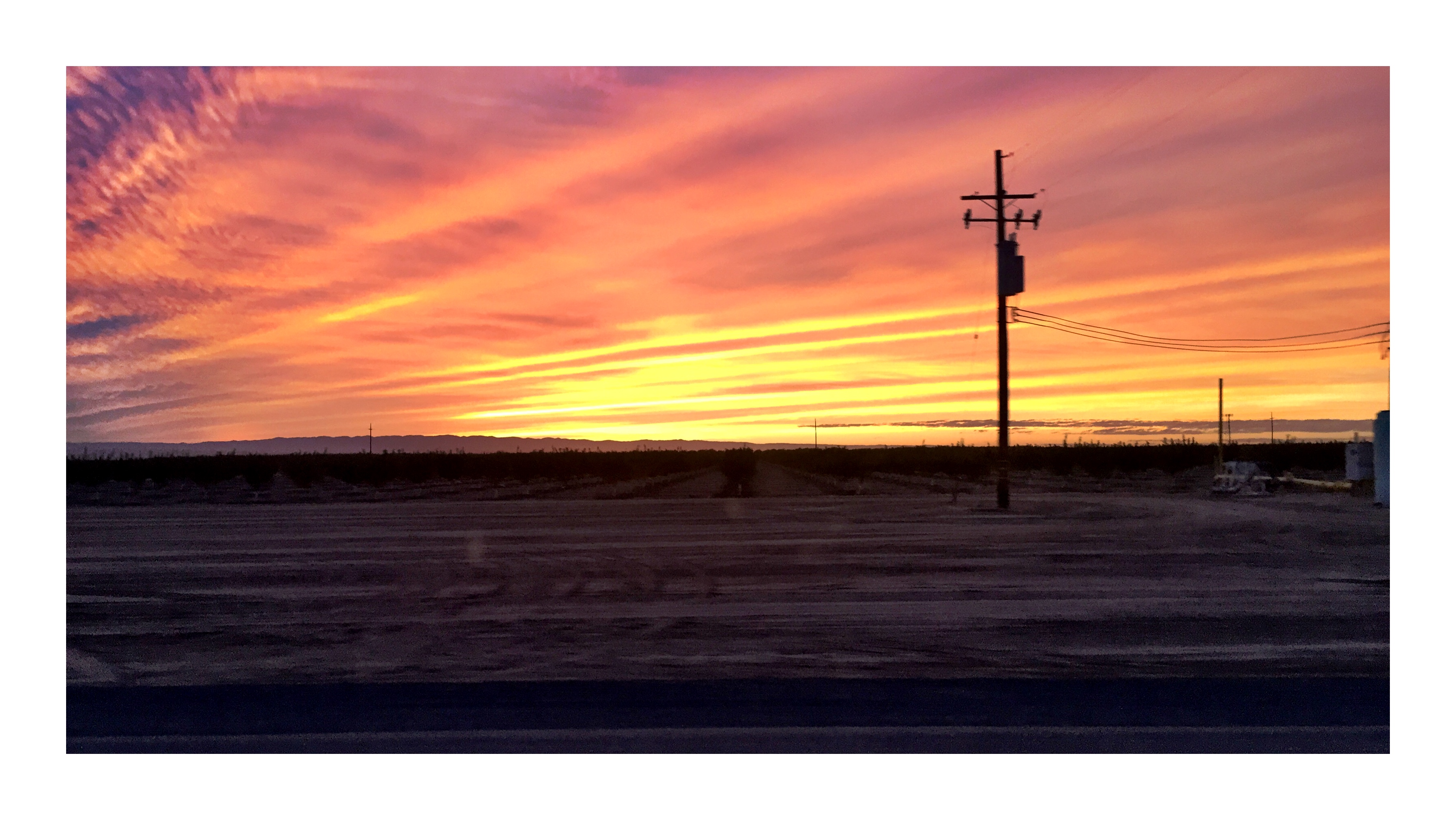
Bakersfield Sunset
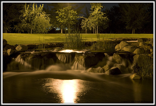
River Walk Falls
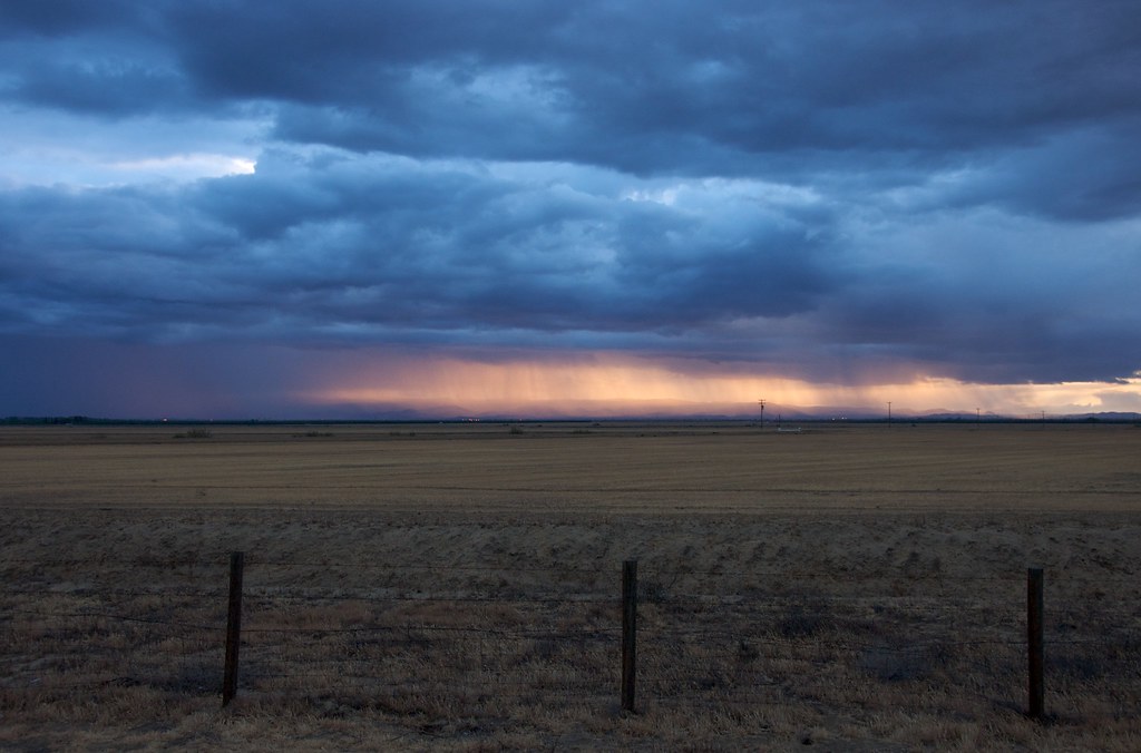
Rain in the Valley
IMG_0960 (Large).JPG
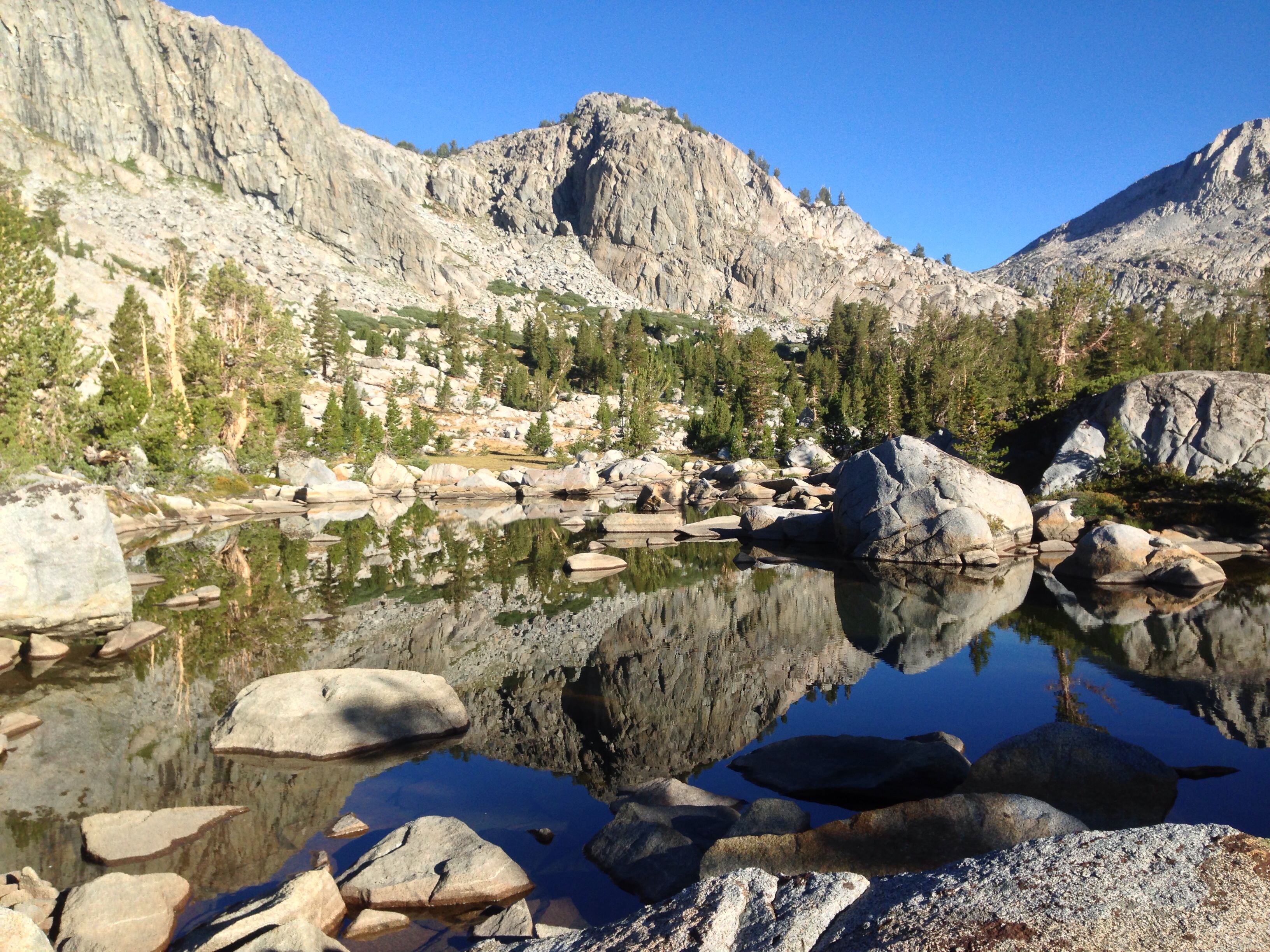
Yosemite 2013
Keeping current... Bakersfield, CA
Ah the great outdoors!

the big cow. buttonwillow, ca. 2015.
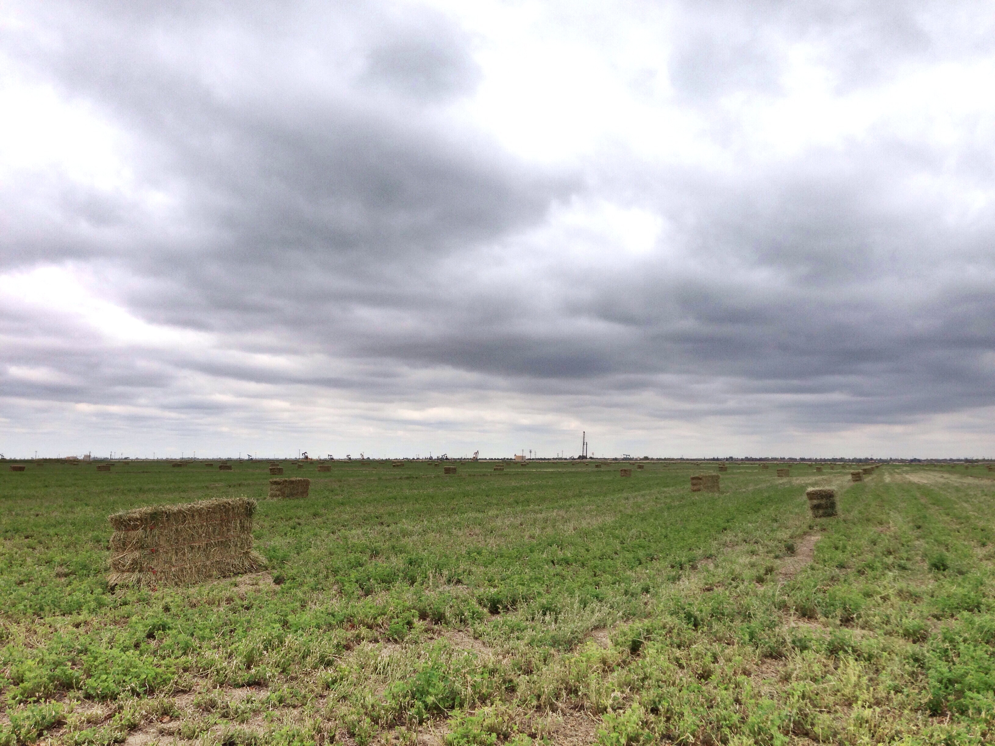
Hay bails
Less obstructed view from Madison Grove Park

IMG_0960 (Large).JPG

Kern river

Buttonwillow, January 2016
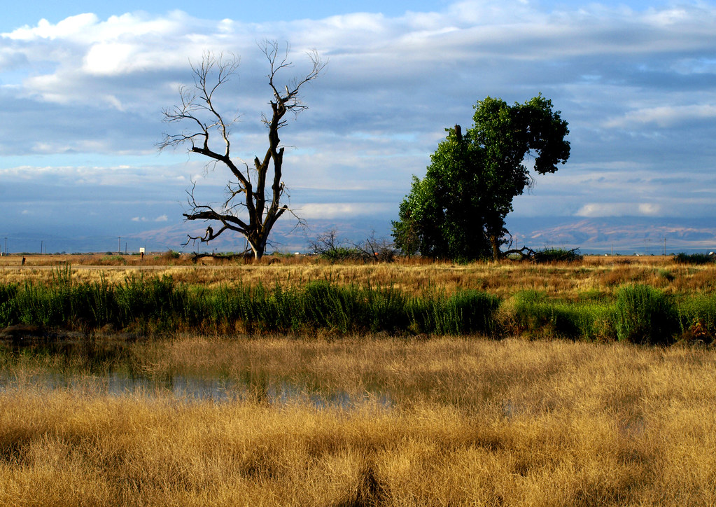
Life and Death
Bakersfield sunset over the Temblors
Topographic Map of Rosedale Hwy, Bakersfield, CA, USA
Find elevation by address:

Places near Rosedale Hwy, Bakersfield, CA, USA:
15713 San Marco Pl
Santa Fe Way, Shafter, CA, USA
14919 Marjoram Drive
Beech Ave, Shafter, CA, USA
14707 Goodwin Ave
15011 Chatsworth Ave
14507 Goodwin Ave
2520 Burbank St
14111 Calle Rosales
209 Calle Bello
209 Calle Bello
Stockdale West
Belsera
Orange Ave E, Shafter, CA, USA
Cortez Court
Rosedale
13111 Ridgeway Meadows Dr
Wailea Drive
Emerald Estates
12700 Mezzadro Ave
Recent Searches:
- Elevation of Congressional Dr, Stevensville, MD, USA
- Elevation of Bellview Rd, McLean, VA, USA
- Elevation of Stage Island Rd, Chatham, MA, USA
- Elevation of Shibuya Scramble Crossing, 21 Udagawacho, Shibuya City, Tokyo -, Japan
- Elevation of Jadagoniai, Kaunas District Municipality, Lithuania
- Elevation of Pagonija rock, Kranto 7-oji g. 8"N, Kaunas, Lithuania
- Elevation of Co Rd 87, Jamestown, CO, USA
- Elevation of Tenjo, Cundinamarca, Colombia
- Elevation of Côte-des-Neiges, Montreal, QC H4A 3J6, Canada
- Elevation of Bobcat Dr, Helena, MT, USA