Elevation of Orange Ave E, Shafter, CA, USA
Location: United States > California > Kern County > Shafter >
Longitude: -119.27774
Latitude: 35.478349
Elevation: 101m / 331feet
Barometric Pressure: 100KPa
Elevation Map:
Satellite Map:
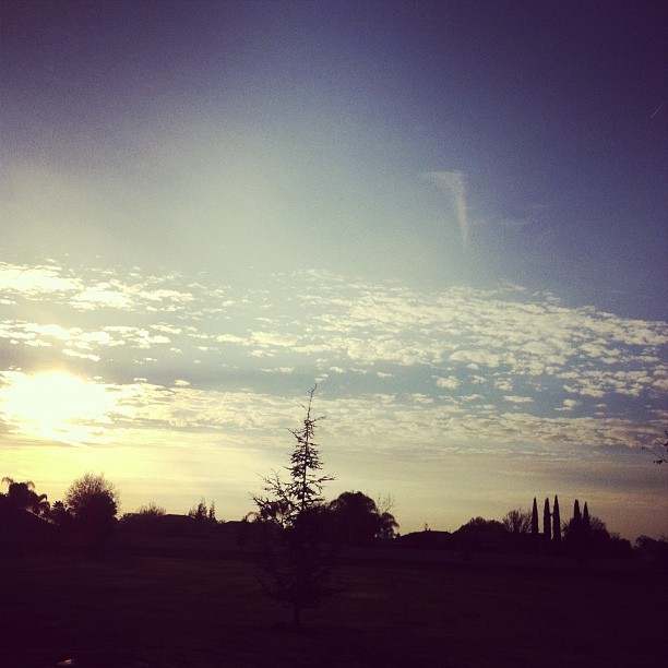
Related Photos:
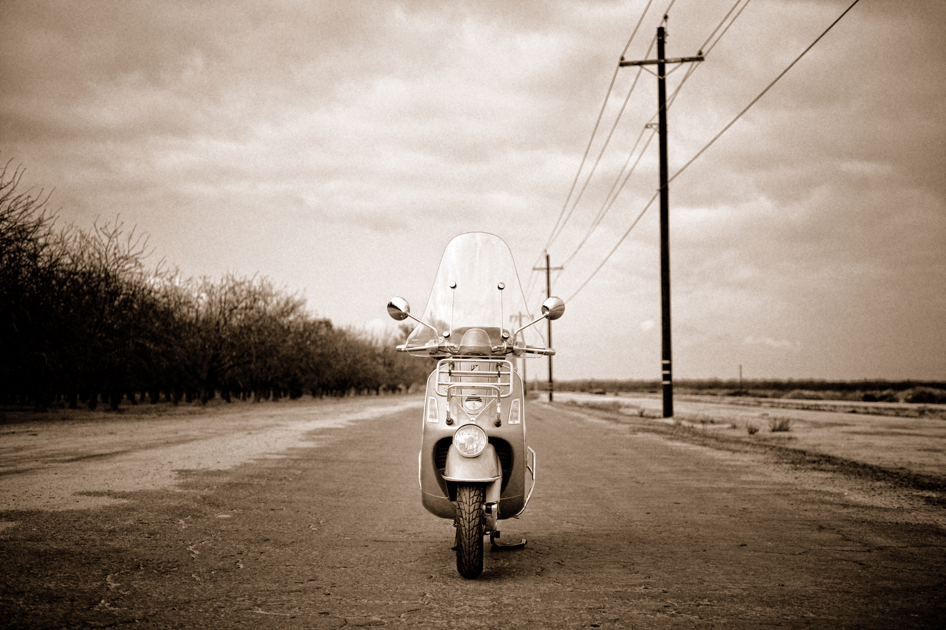
Sophia (Explored)
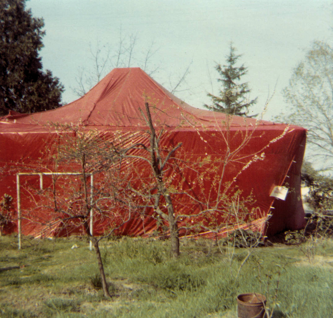
House in a Tent
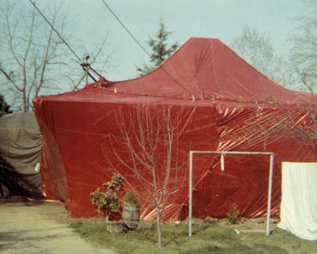
House in a Tent

Blossoms and a Reflection
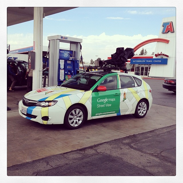
Google Maps Street View Car
7-09 120
i5 views

A View of the Lerdo Highway and Offramp California 99 Interchange

7-09 121
5-31-9 012
5-31-9 002
Less obstructed view from Madison Grove Park
boeing b-17g buzzing the field v.1

boeing b-17g buzzing the field v.2

i5 views
i5 views
6-23-9 026b
8-13-7 033
i5 views
Man-made landscape
Shafter Home

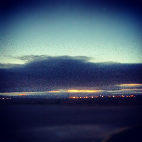
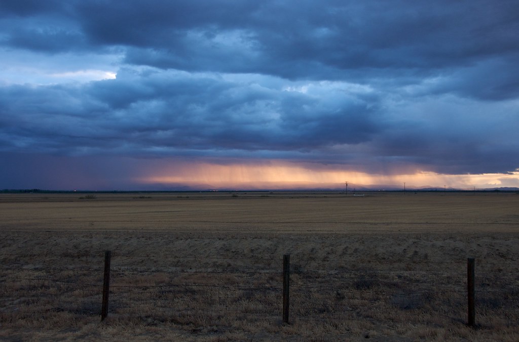
Bakersfield Thunderstorms
the gunslingers | central valley, california
Bakersfield sunset over the Temblors

the big cow. buttonwillow, ca. 2015.
semitropic water storage district. buttonwillow, ca. 2015.

Buttonwillow, January 2016
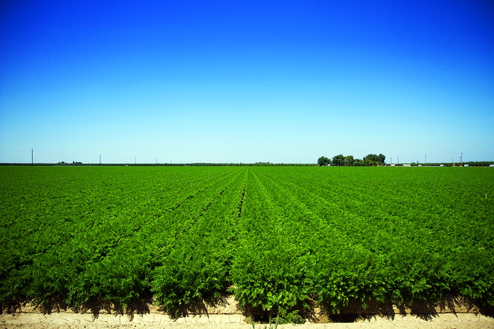
Ancient Orchard, California, 2013
#Morning #CA #Bakersfield #6am #morningphoto #photooftheday #photography #picoftheday #themymy
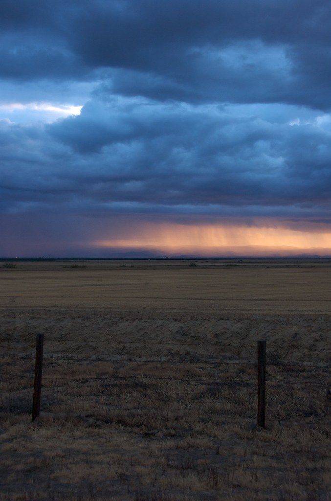
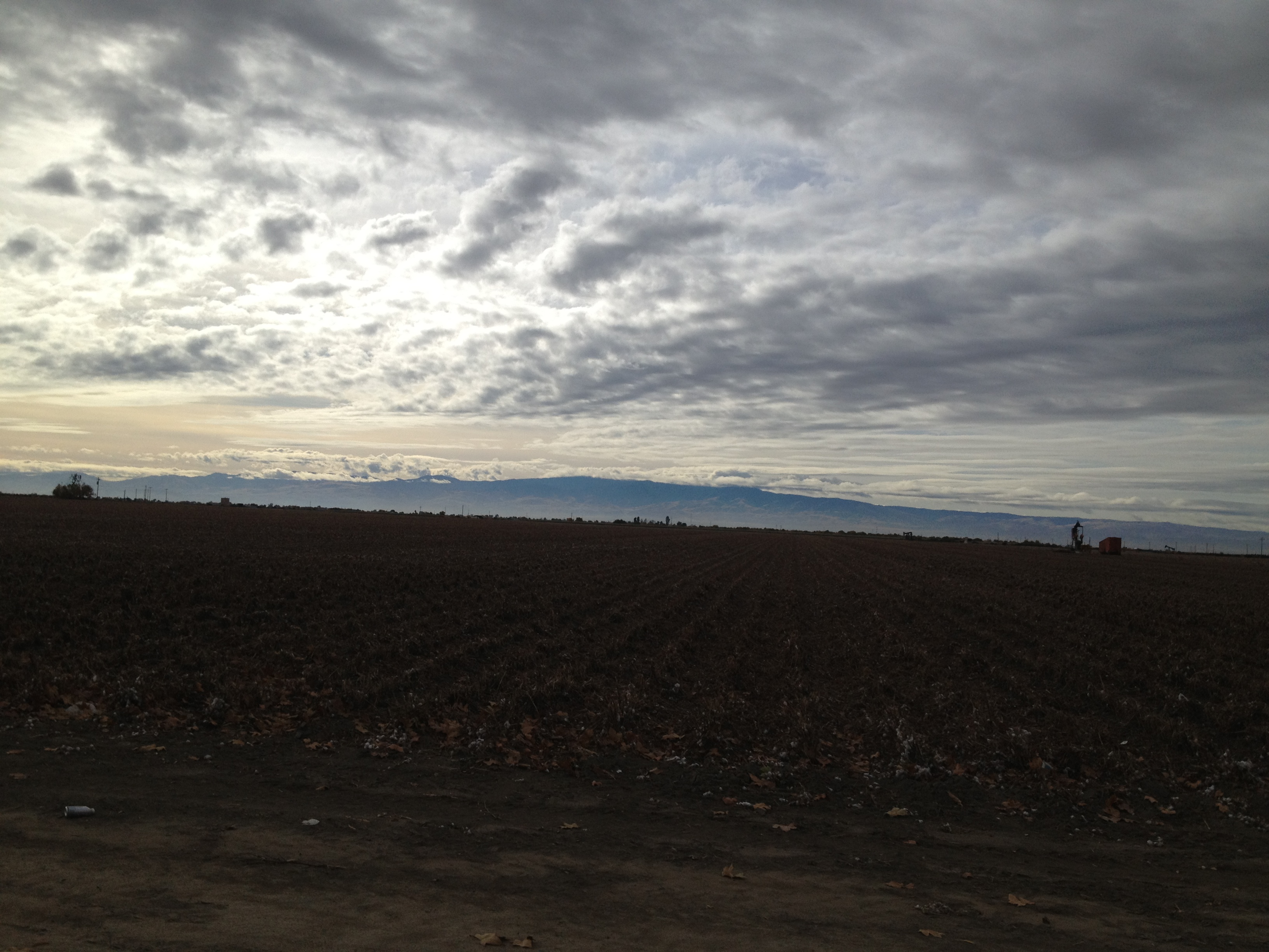
Rain in the Valley
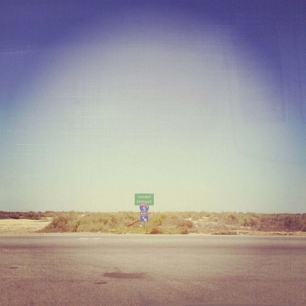
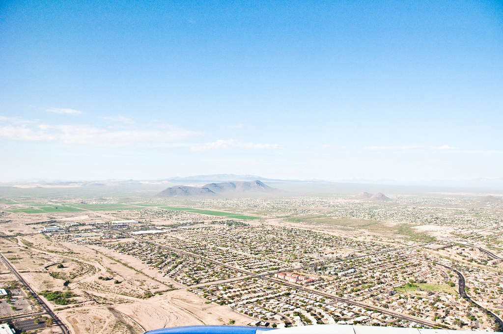
Freeway to Nowhere
depth of field
Rain in the Valley
Enos Weir

Another new day!
lehen eguna, LV bidean
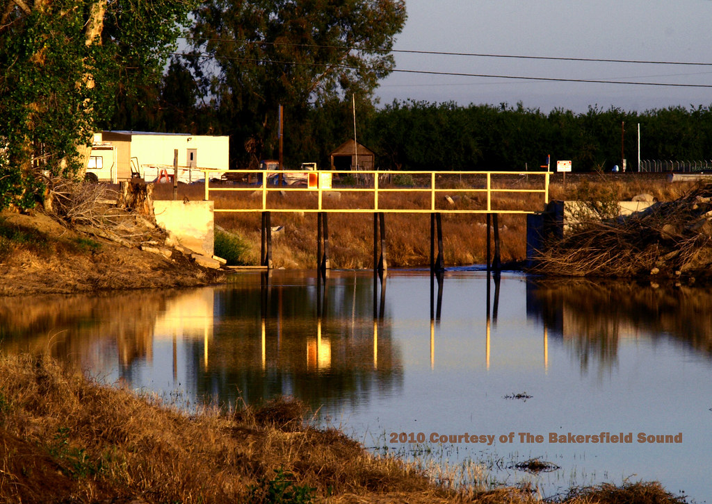
Kern Waterways

IMG_6713 1.psd
Topographic Map of Orange Ave E, Shafter, CA, USA
Find elevation by address:

Places near Orange Ave E, Shafter, CA, USA:
Beech Ave, Shafter, CA, USA
Shafter
181 Munzer St
444 Freedman St
Klassen St, Shafter, CA, USA
2520 Burbank St
Santa Fe Way, Shafter, CA, USA
Rosedale Hwy, Bakersfield, CA, USA
Lerdo Hwy, Shafter, CA, USA
1833 D St
15713 San Marco Pl
7th St, Wasco, CA, USA
Wasco
14919 Marjoram Drive
Belsera
C St, McFarland, CA, USA
12700 Mezzadro Ave
13111 Ridgeway Meadows Dr
Famoso
Mezzadro Avenue
Recent Searches:
- Elevation of Congressional Dr, Stevensville, MD, USA
- Elevation of Bellview Rd, McLean, VA, USA
- Elevation of Stage Island Rd, Chatham, MA, USA
- Elevation of Shibuya Scramble Crossing, 21 Udagawacho, Shibuya City, Tokyo -, Japan
- Elevation of Jadagoniai, Kaunas District Municipality, Lithuania
- Elevation of Pagonija rock, Kranto 7-oji g. 8"N, Kaunas, Lithuania
- Elevation of Co Rd 87, Jamestown, CO, USA
- Elevation of Tenjo, Cundinamarca, Colombia
- Elevation of Côte-des-Neiges, Montreal, QC H4A 3J6, Canada
- Elevation of Bobcat Dr, Helena, MT, USA