Elevation of Roosevelt Ave, Dodge City, KS, USA
Location: United States > Kansas > Ford County > Dodge City >
Longitude: -99.997944
Latitude: 37.7531189
Elevation: 767m / 2516feet
Barometric Pressure: 92KPa
Elevation Map:
Satellite Map:
Related Photos:
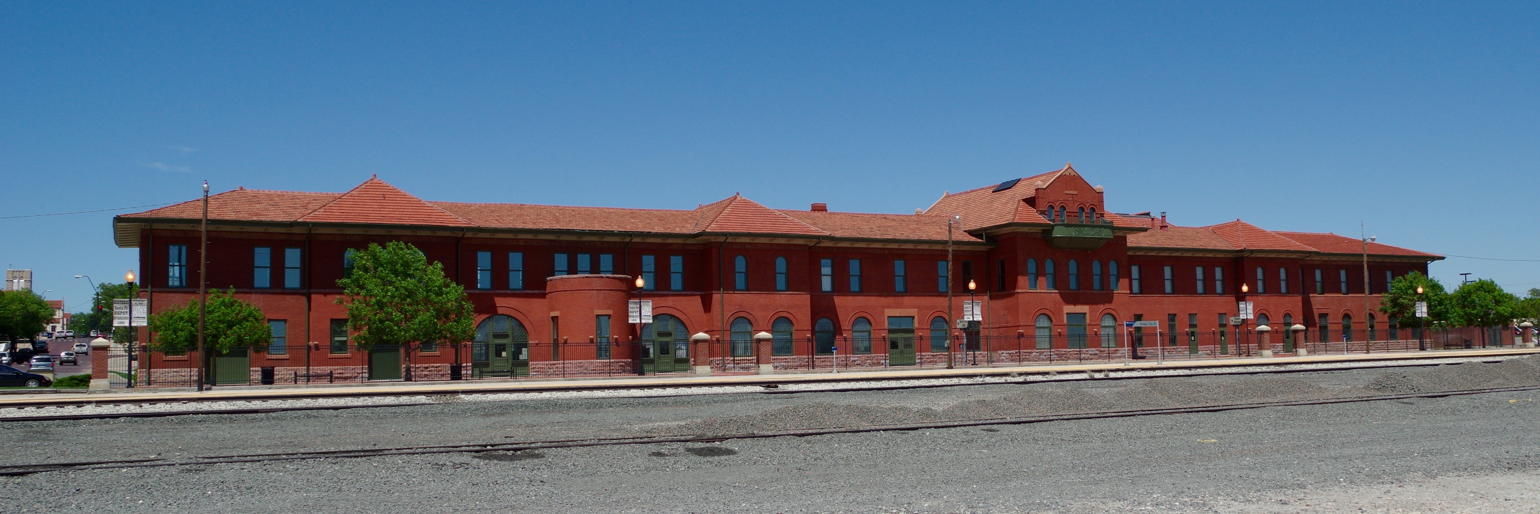
1899 ATSF Dodge City El Vaquero Harvey House and Depot
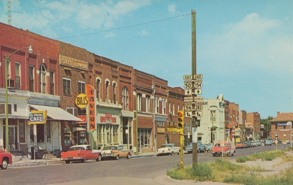
Front Street - Dodge City, Kansas
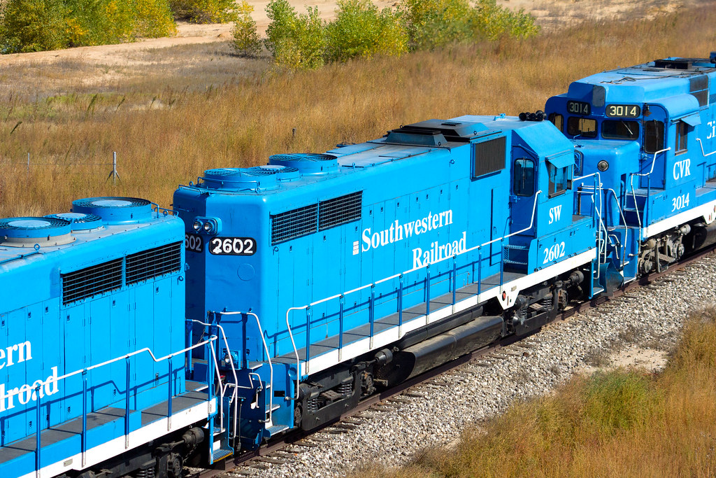
SW 2602 GP-26 at Dodge City, KS
Morning in Dodge City

The Outlaw [Explored]

Dodge City
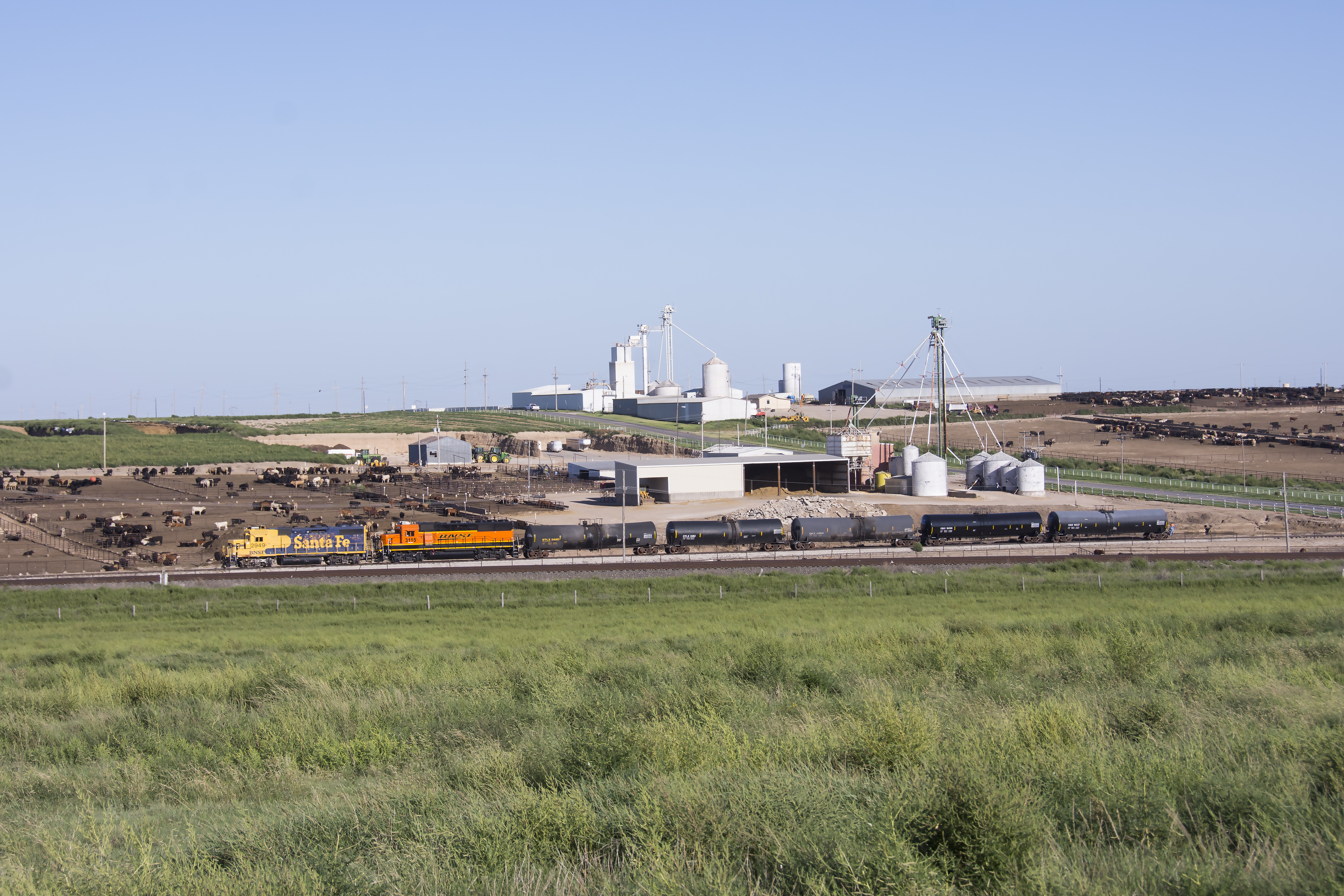
Geeps in Moo Cow Land

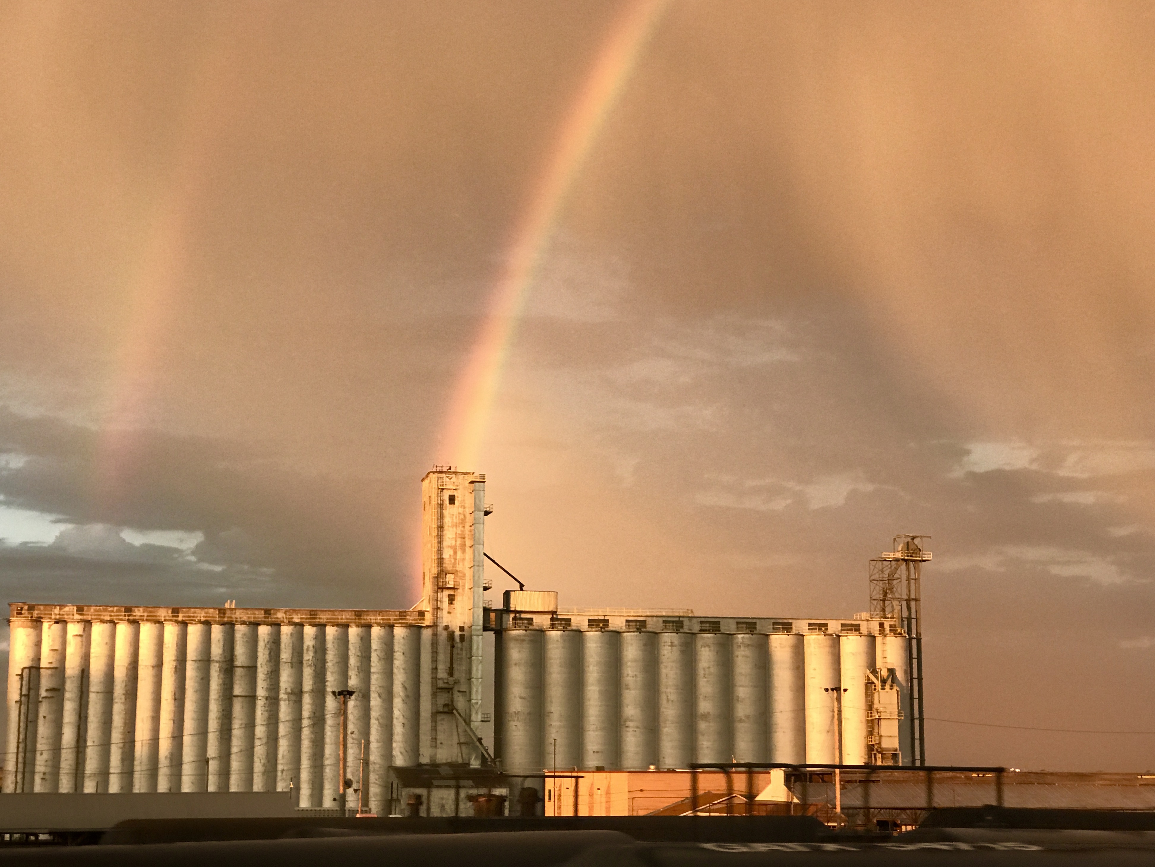
Dodge City Stovepipe - I

Shoving Match

SW B39-8E-8501 CVR GP30-3014, 3024 E/B W. of Dodge City, KS.

SW Kansas tornadoes
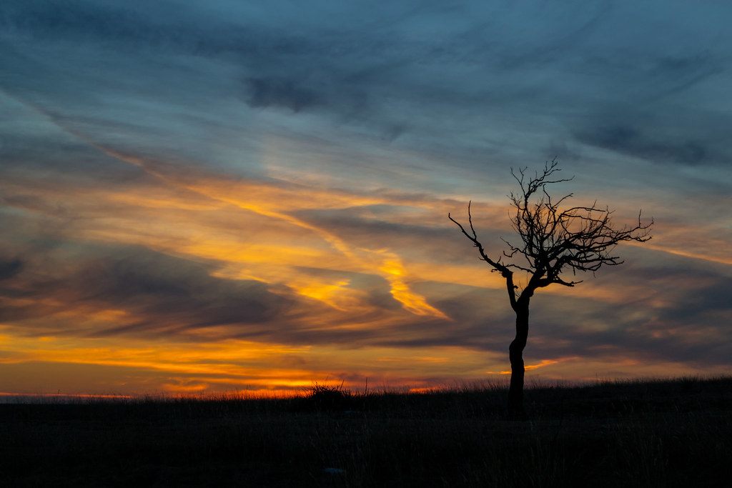
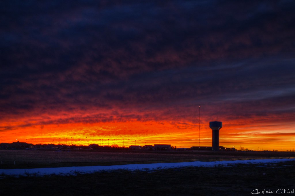
Sunset 1-8-2014
Dodge City KS 10-14-11 4893
Dodge City KS 10-14-11 4903
1-9-2013 Sunset
#road #roadway #bluesky #kansas #iphoneography
20131128_14251101.jpg
MINI Lineup

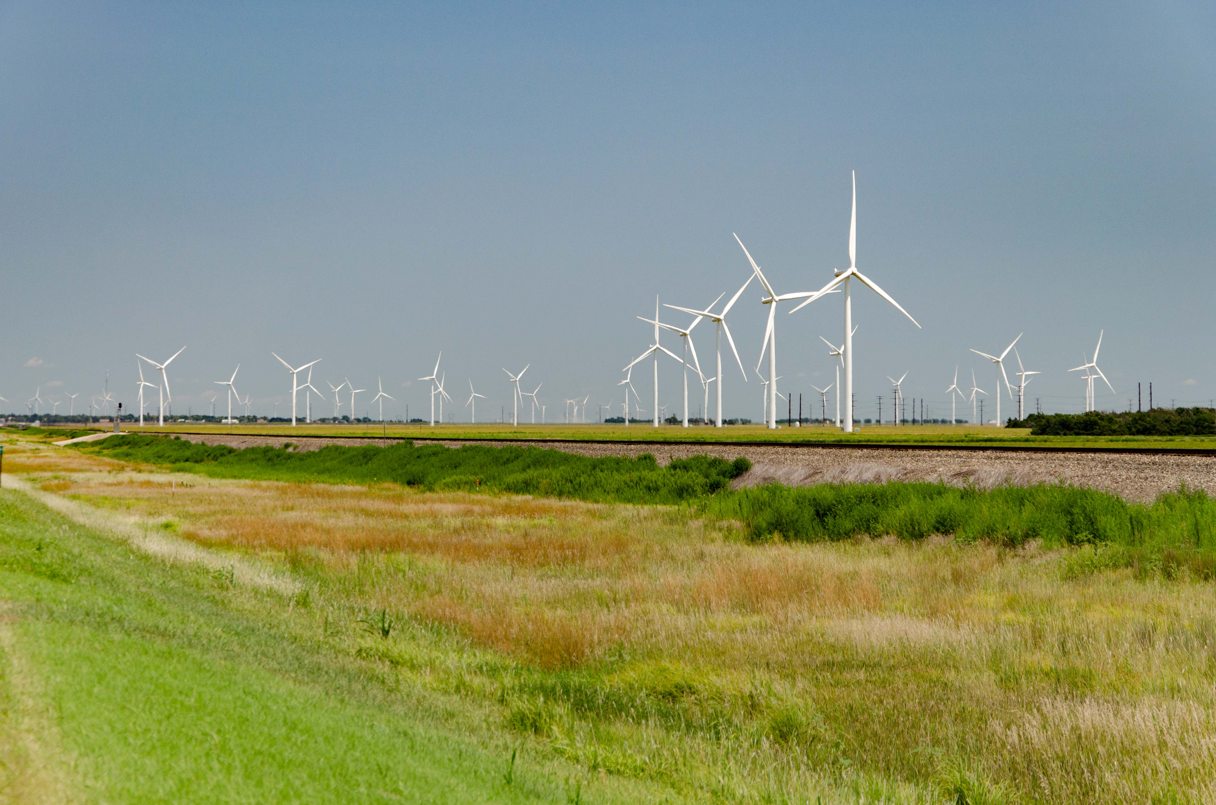
021415_62_Windmills - Spearville, KS
2016-07-30 - 212 of 365
Travel day from Texas to southern Nebraska

Kansas Sunflower State
Geese!!!
june 13 tor storm close up.jpg
Topographic Map of Roosevelt Ave, Dodge City, KS, USA
Find elevation by address:

Places near Roosevelt Ave, Dodge City, KS, USA:
Dodge City
E Wyatt Earp Blvd, Dodge City, KS, USA
Sheridan St, Dodge City, KS, USA
Grandview
Cimarron
S Main St, Cimarron, KS, USA
Cimarron
Montezuma
Gray County
S Aztec St, Montezuma, KS, USA
Montezuma
E Carthage St, Meade, KS, USA
Meade
Center
Meade County
Meade Center
S Spruce St, Pierceville, KS, USA
Pierceville
Pierceville
55 E Plymell Rd, Garden City, KS, USA
Recent Searches:
- Elevation of Congressional Dr, Stevensville, MD, USA
- Elevation of Bellview Rd, McLean, VA, USA
- Elevation of Stage Island Rd, Chatham, MA, USA
- Elevation of Shibuya Scramble Crossing, 21 Udagawacho, Shibuya City, Tokyo -, Japan
- Elevation of Jadagoniai, Kaunas District Municipality, Lithuania
- Elevation of Pagonija rock, Kranto 7-oji g. 8"N, Kaunas, Lithuania
- Elevation of Co Rd 87, Jamestown, CO, USA
- Elevation of Tenjo, Cundinamarca, Colombia
- Elevation of Côte-des-Neiges, Montreal, QC H4A 3J6, Canada
- Elevation of Bobcat Dr, Helena, MT, USA