Elevation of Gray County, KS, USA
Location: United States > Kansas >
Longitude: -100.43965
Latitude: 37.6840811
Elevation: 829m / 2720feet
Barometric Pressure: 92KPa
Elevation Map:
Satellite Map:
Related Photos:

SW B39-8E-8501 CVR GP30-3014, 3024 E/B at Montezuma, KS.
wind.
i want to put some of these in my backyard.
wind (turbines)
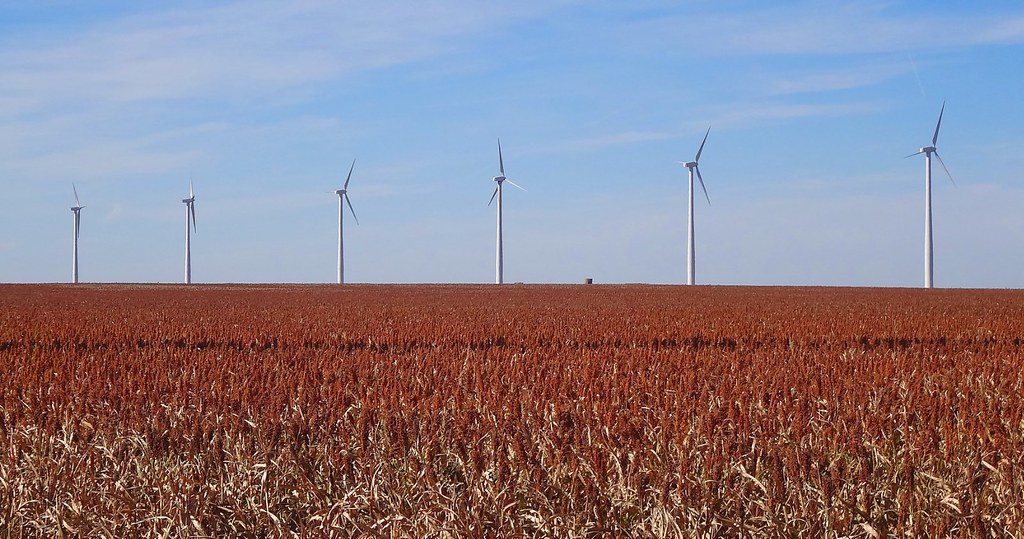
Grain Sorghum (Milo) field near Montezuma, KS along the Cimarron Valley RR
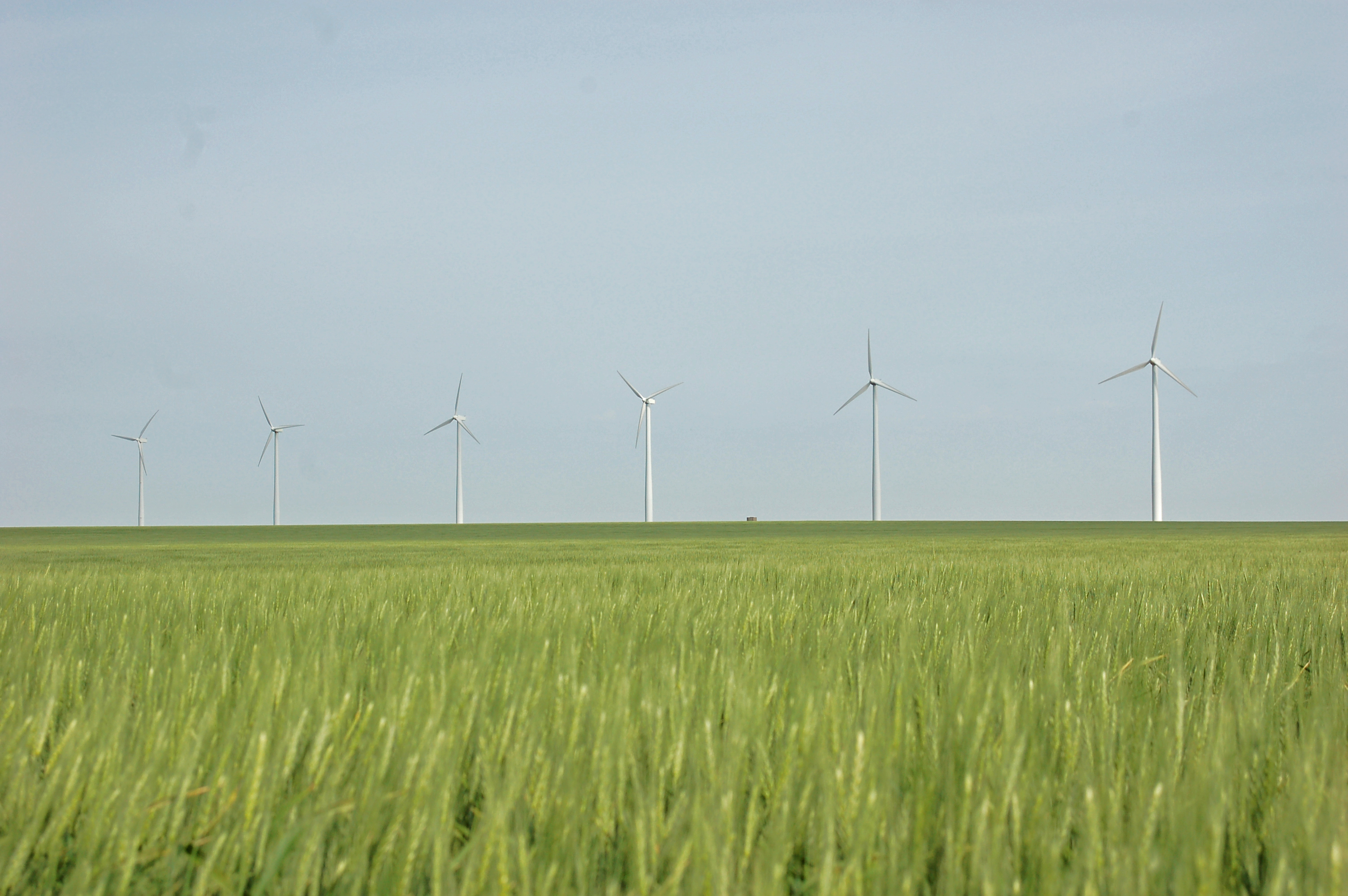
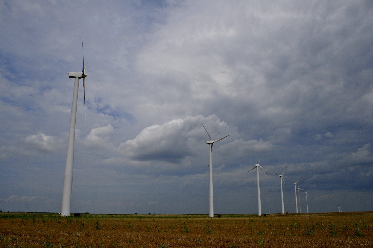
Montezuma Wind Farm
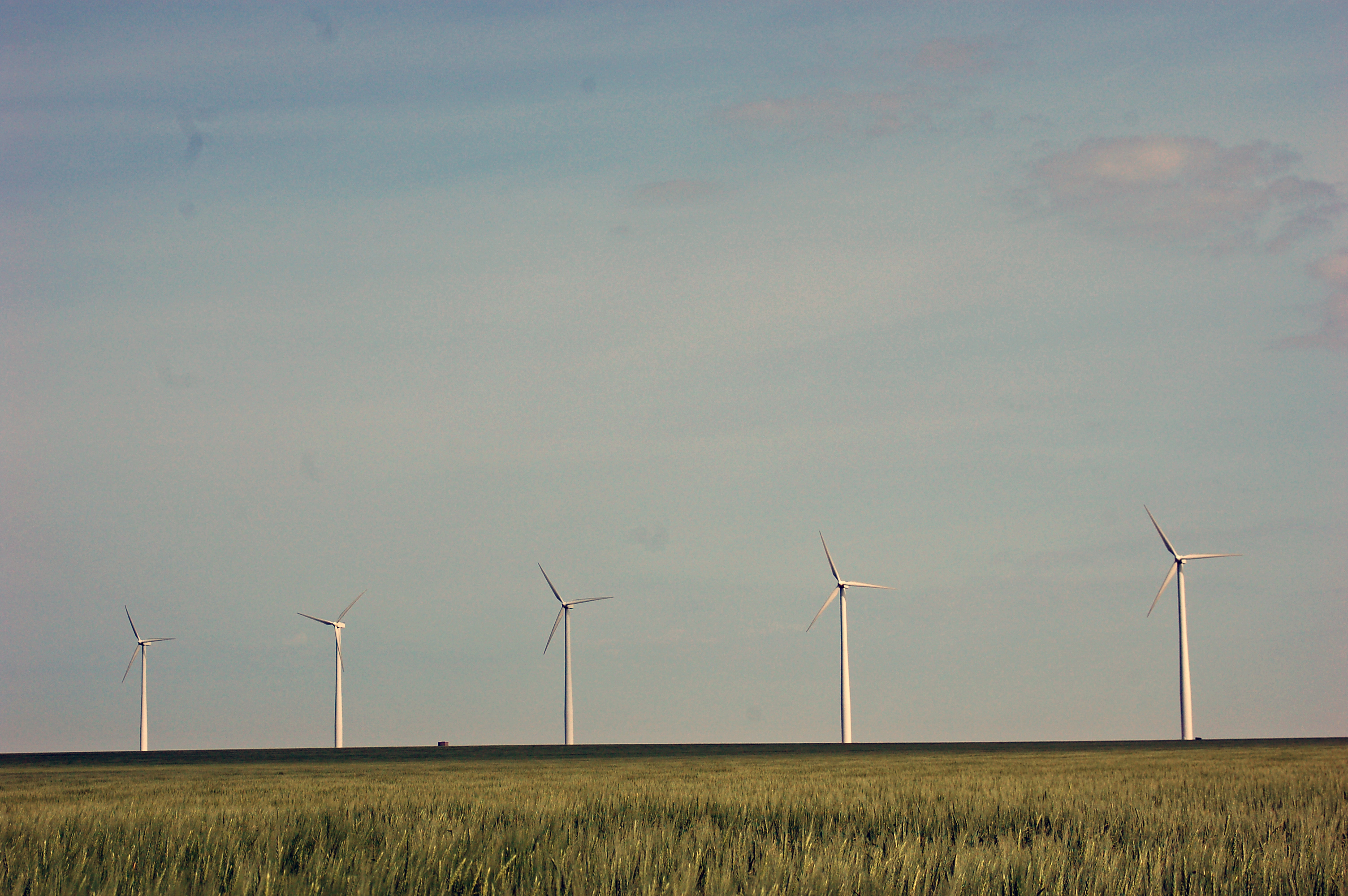
Montezuma Wind Farm
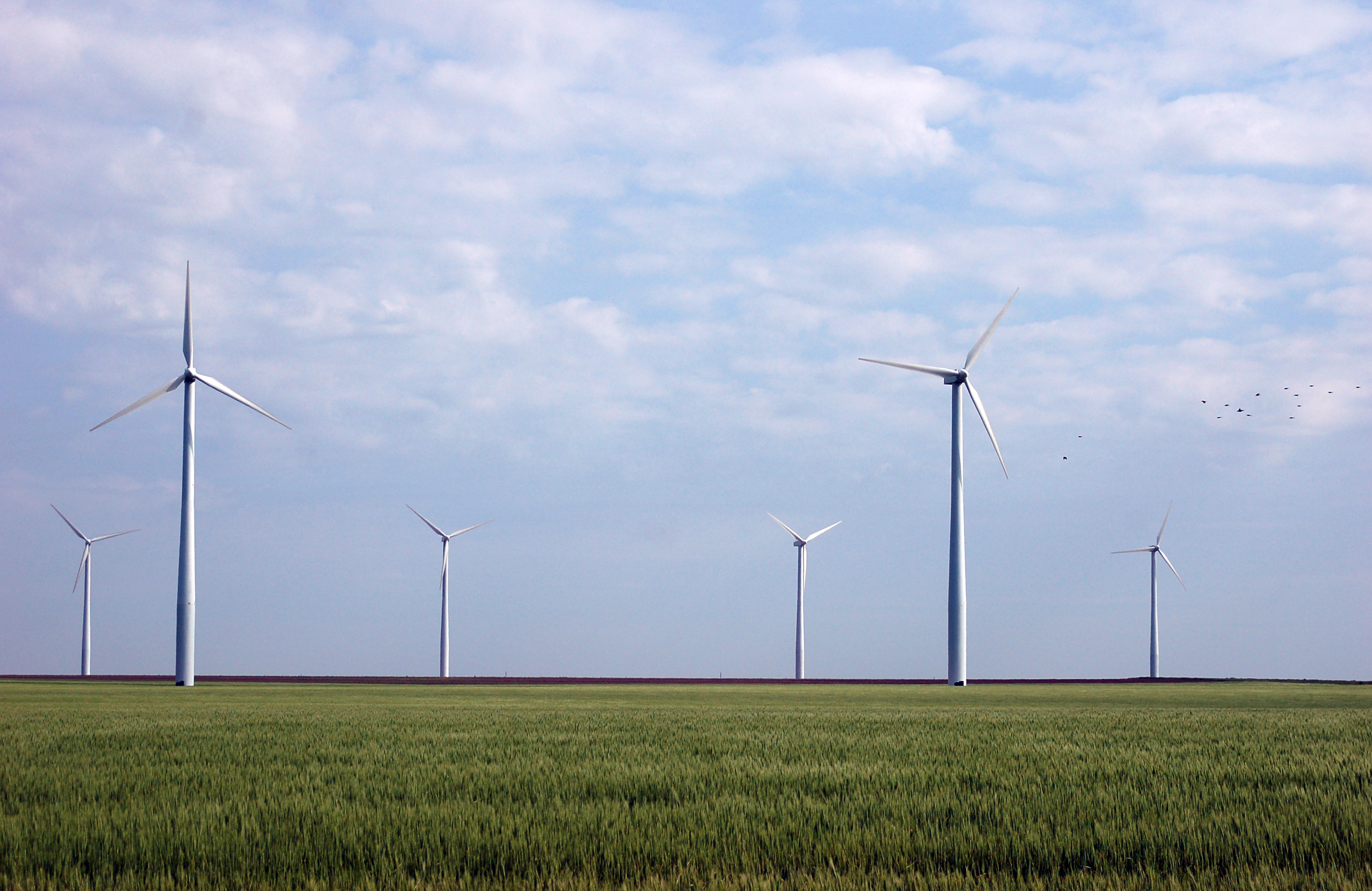
Montezuma Wind Farm
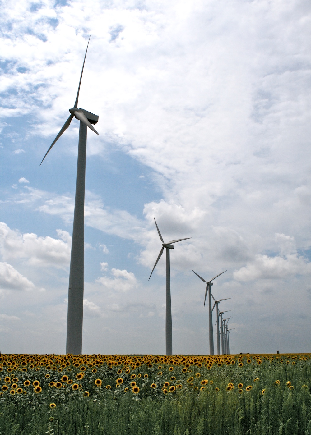
Whoosh!
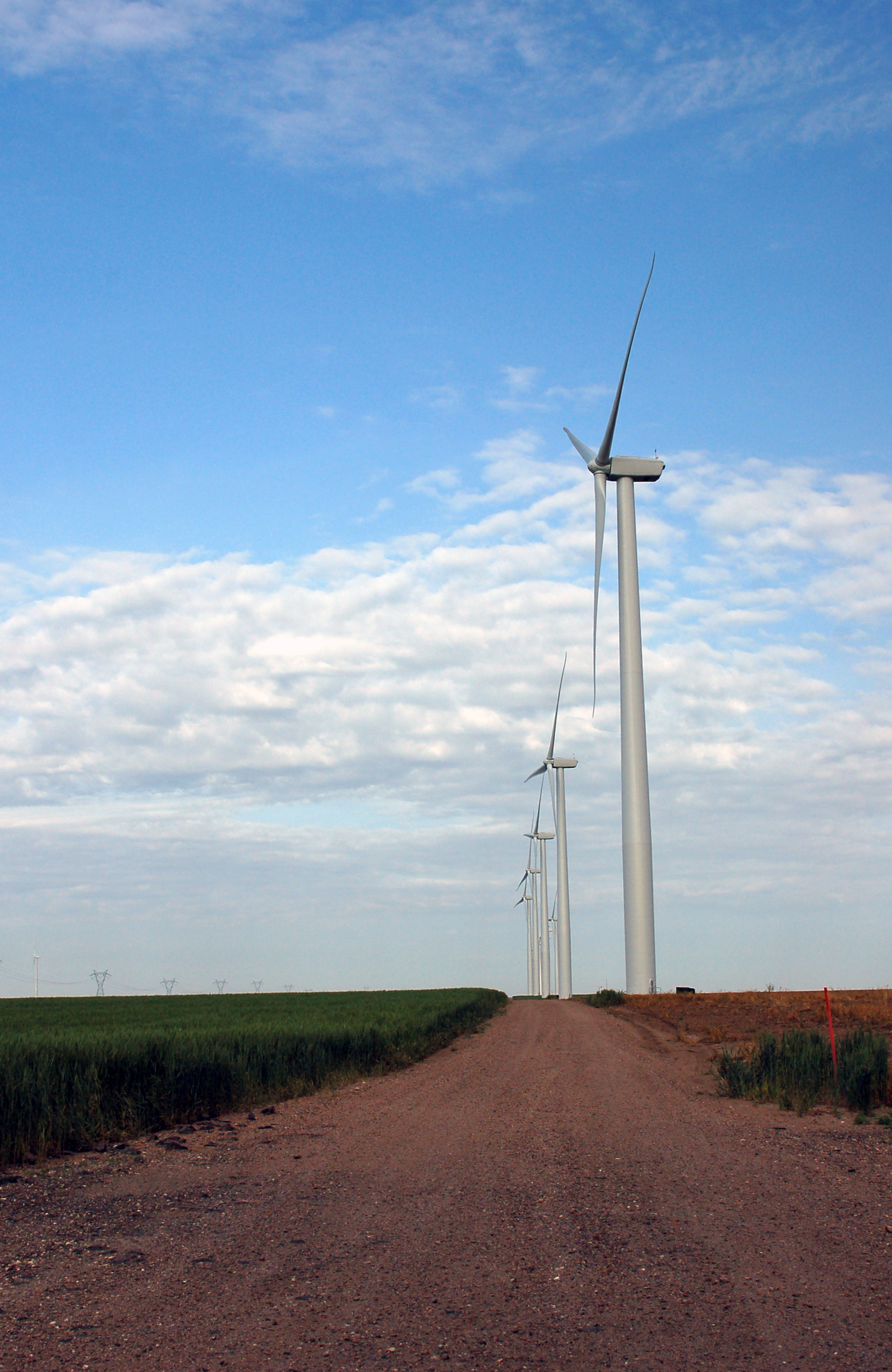
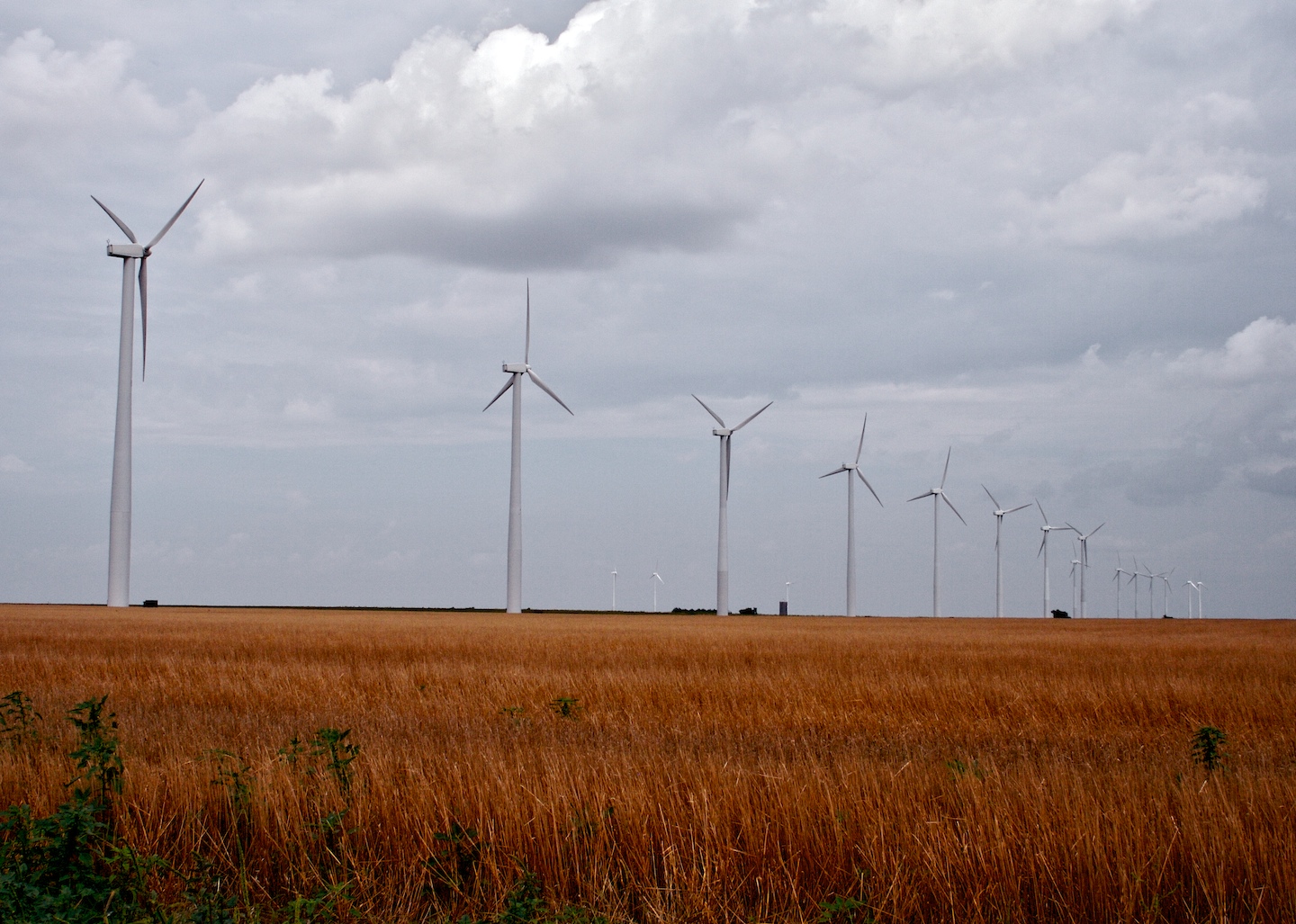
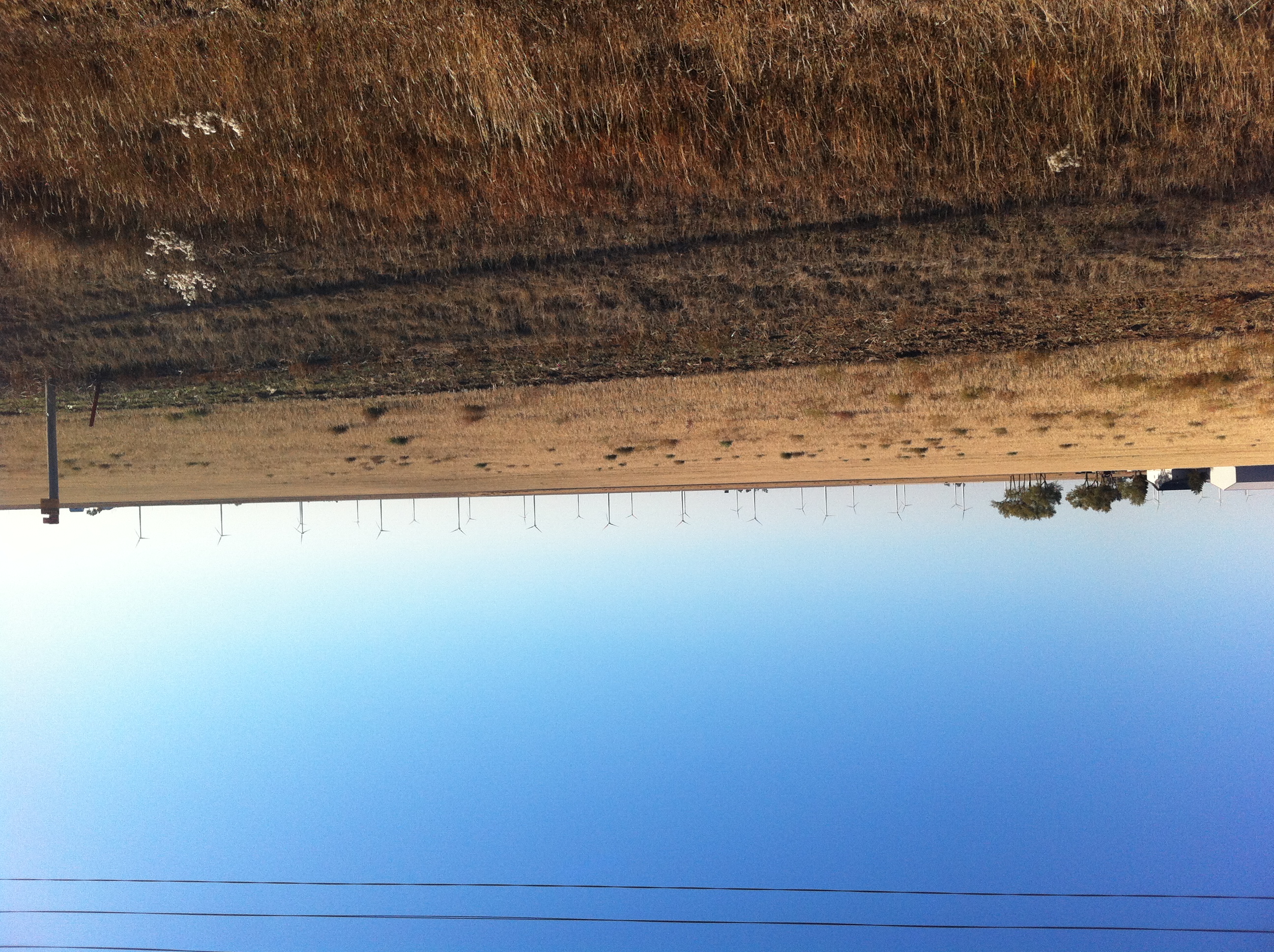
Montezuma Wind Farm
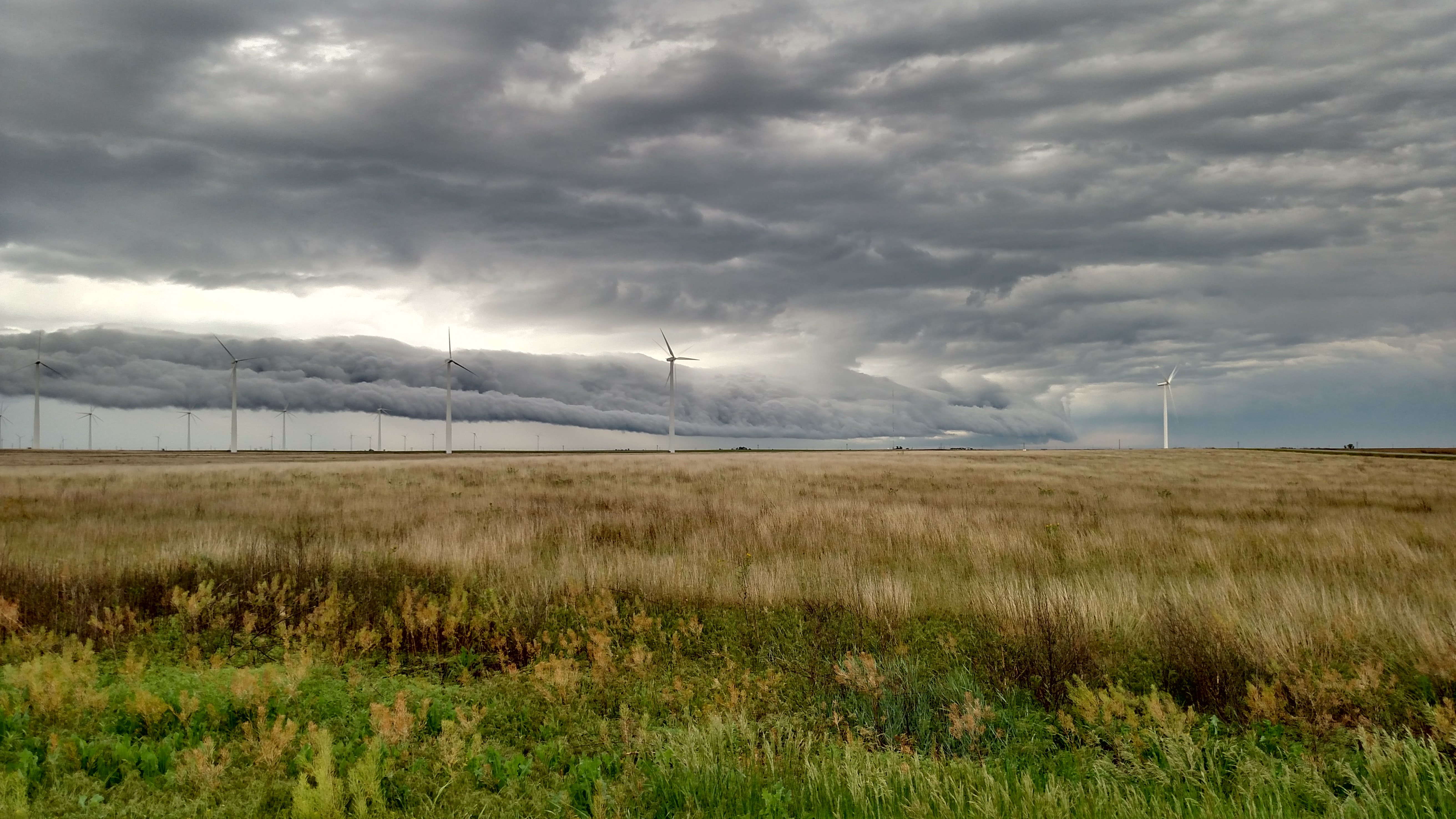
Powerful Forces
Topographic Map of Gray County, KS, USA
Find elevation by address:

Places in Gray County, KS, USA:
Places near Gray County, KS, USA:
Montezuma
S Aztec St, Montezuma, KS, USA
Montezuma
Cimarron
S Main St, Cimarron, KS, USA
Cimarron
S Spruce St, Pierceville, KS, USA
Pierceville
Pierceville
Meade
E Carthage St, Meade, KS, USA
Meade County
E Wyatt Earp Blvd, Dodge City, KS, USA
Dodge City
Haskell
Meade Center
1427 Roosevelt Ave
55 E Plymell Rd, Garden City, KS, USA
S Inman St, Sublette, KS, USA
Sublette
Recent Searches:
- Elevation of Corso Fratelli Cairoli, 35, Macerata MC, Italy
- Elevation of Tallevast Rd, Sarasota, FL, USA
- Elevation of 4th St E, Sonoma, CA, USA
- Elevation of Black Hollow Rd, Pennsdale, PA, USA
- Elevation of Oakland Ave, Williamsport, PA, USA
- Elevation of Pedrógão Grande, Portugal
- Elevation of Klee Dr, Martinsburg, WV, USA
- Elevation of Via Roma, Pieranica CR, Italy
- Elevation of Tavkvetili Mountain, Georgia
- Elevation of Hartfords Bluff Cir, Mt Pleasant, SC, USA