Elevation of Pierceville, KS, USA
Location: United States > Kansas > Finney County >
Longitude: -100.73233
Latitude: 37.9306181
Elevation: 880m / 2887feet
Barometric Pressure: 91KPa
Elevation Map:
Satellite Map:
Related Photos:
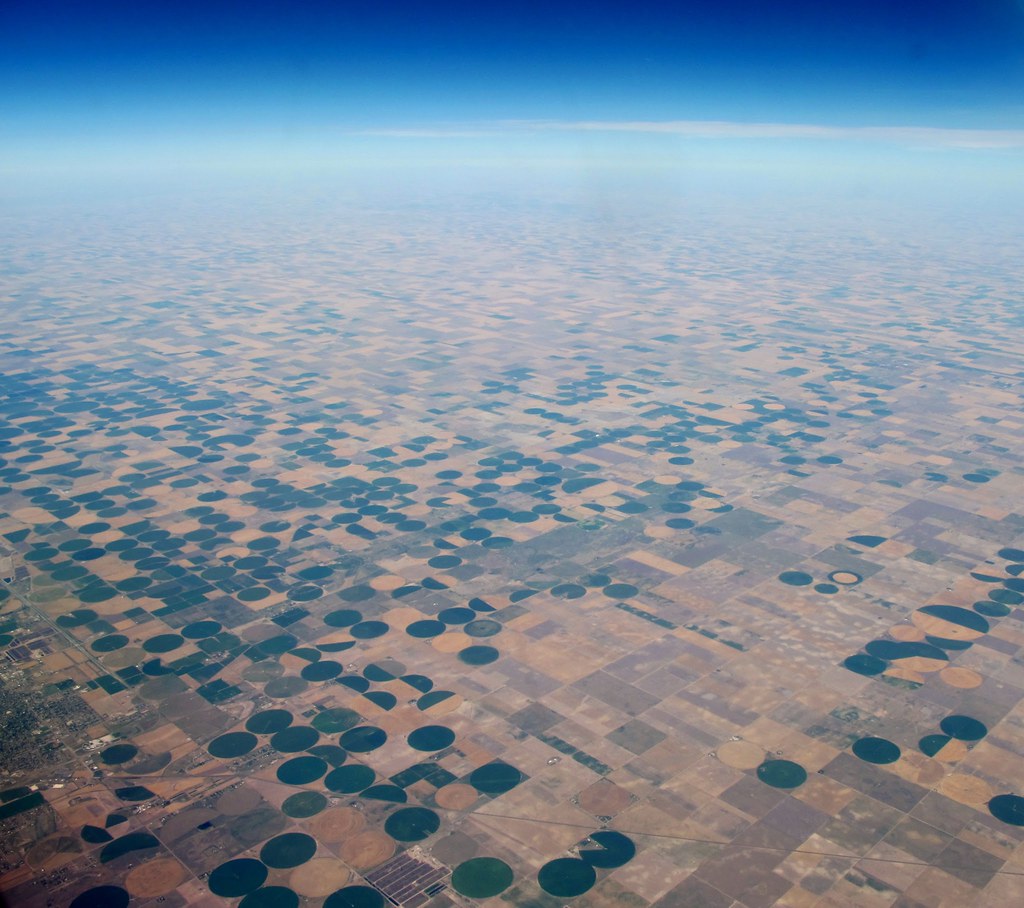
Aerial view of fields in Kansas

Self Portrait

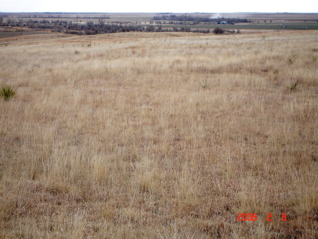
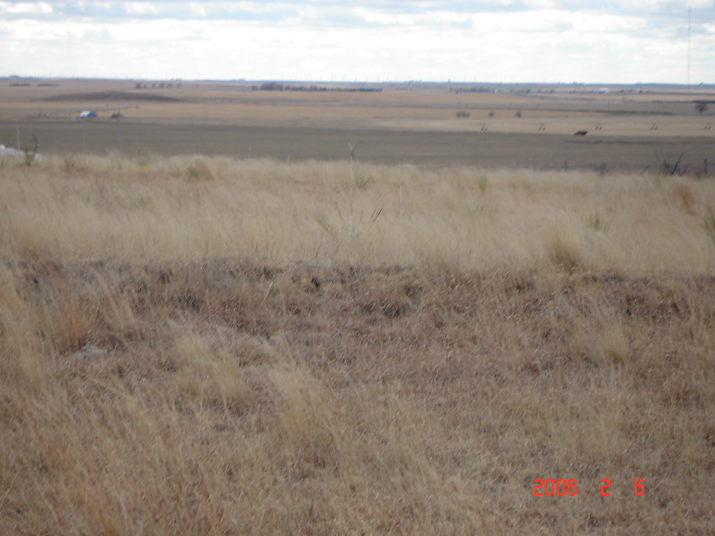
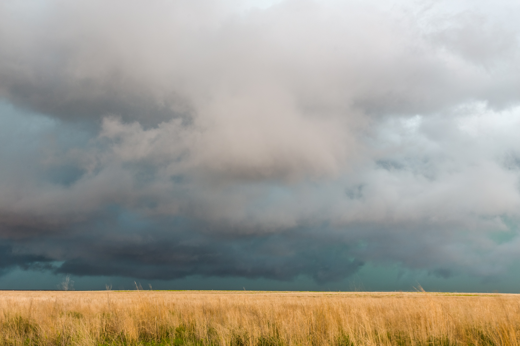
High plains vanishing point
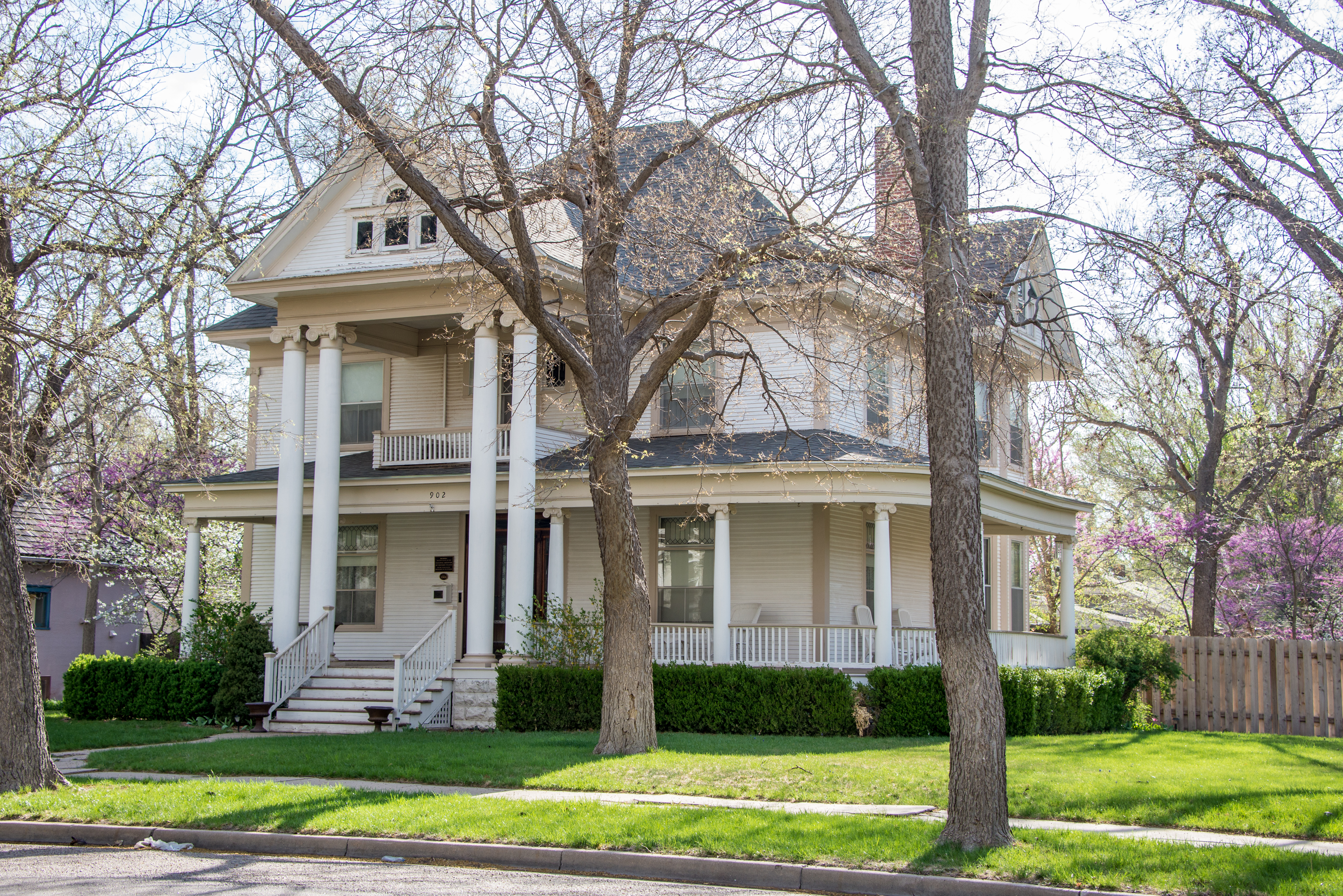
Sen. William H. Thompson House (circa 1908)

Stand Still

IMG_2081.jpg
Santa Fe Trail Marker & Ruts-Kansas

IMG_2086.jpg
Santa Fe Trail Marker & Ruts-Kansas
IMG_1415-HDR.jpg

IMG_1409-HDR.jpg
Topographic Map of Pierceville, KS, USA
Find elevation by address:

Places in Pierceville, KS, USA:
Places near Pierceville, KS, USA:
Pierceville
S Spruce St, Pierceville, KS, USA
2295 S Old Hwy 83
55 E Plymell Rd, Garden City, KS, USA
Ivanhoe
Sherlock
Gray County
Cimarron
S Main St, Cimarron, KS, USA
Haskell County
Haskell
Cimarron
Montezuma
S Aztec St, Montezuma, KS, USA
Dudley
S Inman St, Sublette, KS, USA
Sublette
Montezuma
Satanta
Arapahoe Ave, Satanta, KS, USA
Recent Searches:
- Elevation of Slanický ostrov, 01 Námestovo, Slovakia
- Elevation of Spaceport America, Co Rd A, Truth or Consequences, NM, USA
- Elevation of Warwick, RI, USA
- Elevation of Fern Rd, Whitmore, CA, USA
- Elevation of 62 Abbey St, Marshfield, MA, USA
- Elevation of Fernwood, Bradenton, FL, USA
- Elevation of Felindre, Swansea SA5 7LU, UK
- Elevation of Leyte Industrial Development Estate, Isabel, Leyte, Philippines
- Elevation of W Granada St, Tampa, FL, USA
- Elevation of Pykes Down, Ivybridge PL21 0BY, UK