Elevation of Road 5 & Uau Road, Rd 5 & Uau Rd, Hawaiian Acres, HI, USA
Location: United States > Hawaii > Hawaii County > Mountain View >
Longitude: -155.04006
Latitude: 19.5096889
Elevation: 343m / 1125feet
Barometric Pressure: 97KPa
Elevation Map:
Satellite Map:
Related Photos:
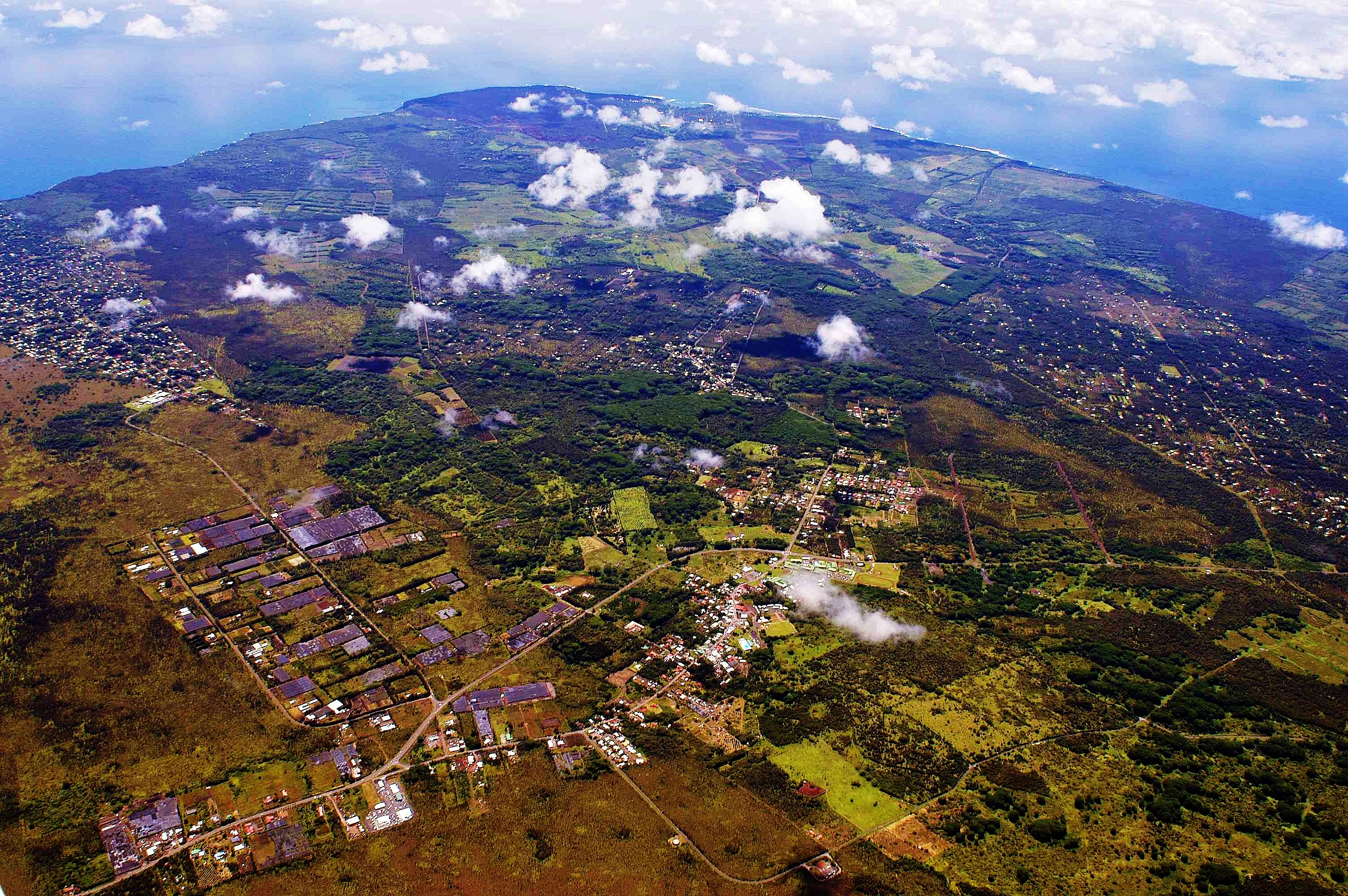
2006: Pahoa and Puna, Hawai'i - In the path of Kilauea Volcano lava
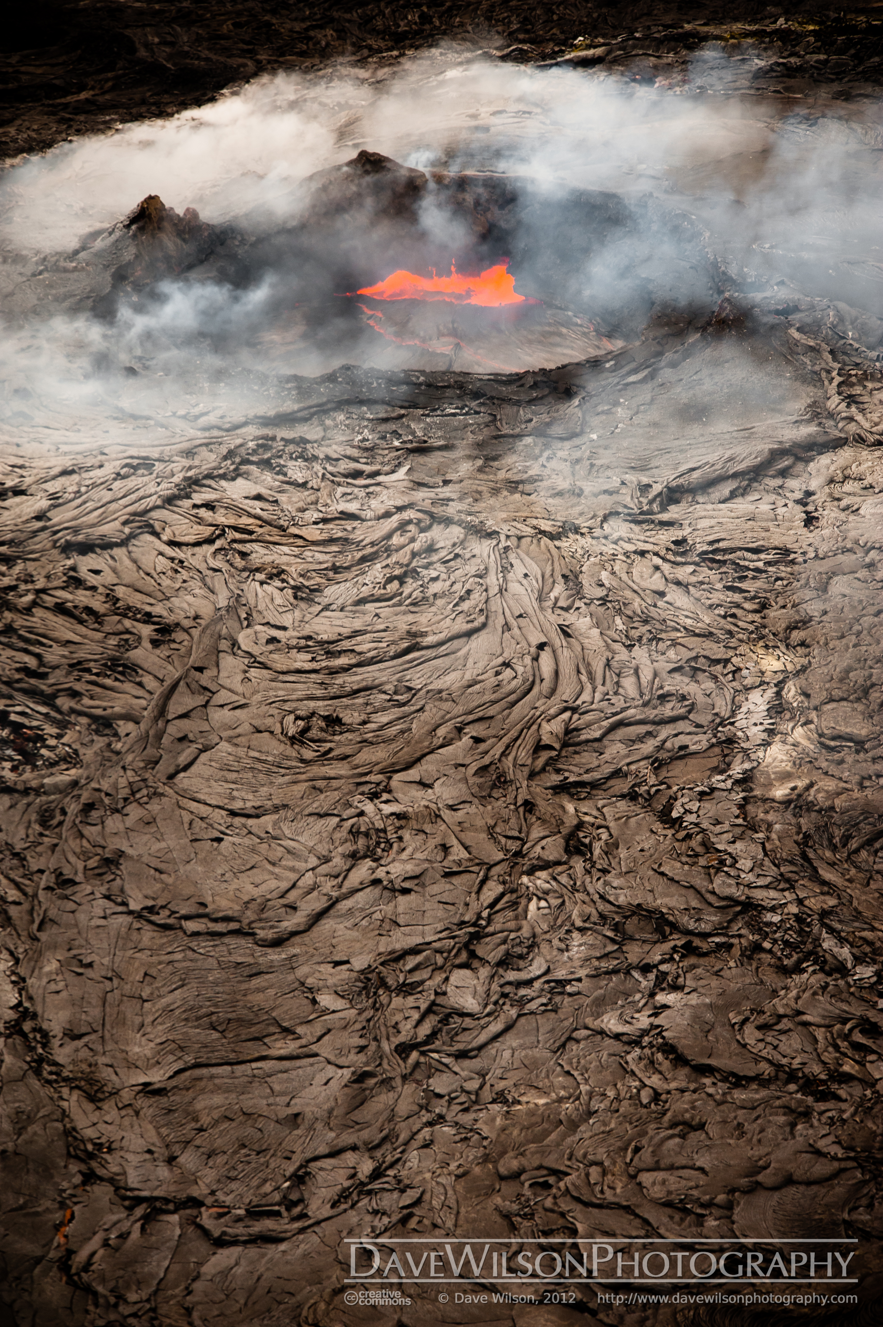
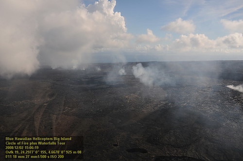
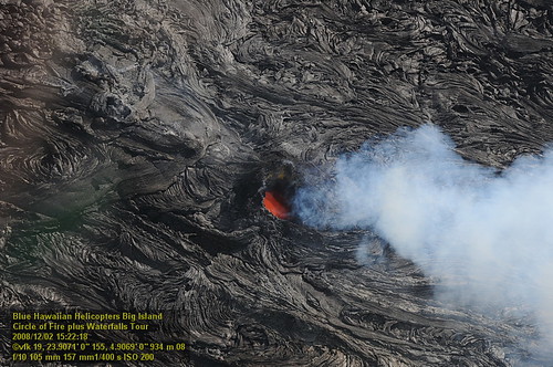
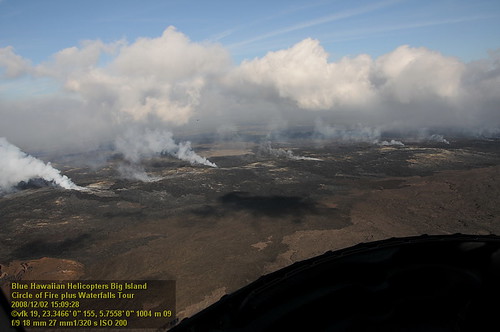
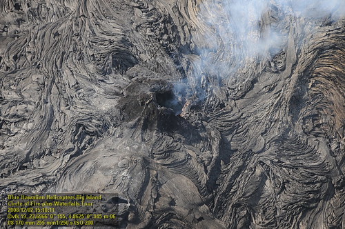
Kilauea Crater and Lava Flow

Napau Crater, Kalapana, Hawaii

Sunup on a snowy Mauna Kea from Mountain View B&B, Hawaii

Oblique view, Kurtistown Jōdo Mission

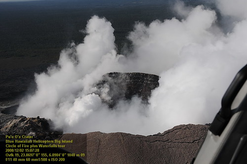
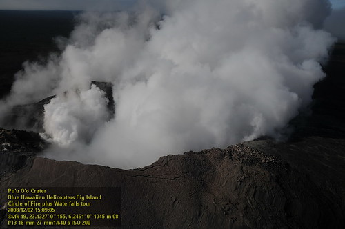
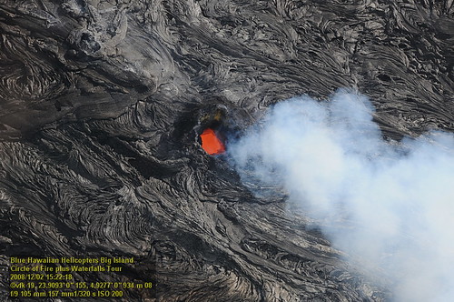
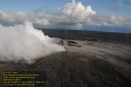
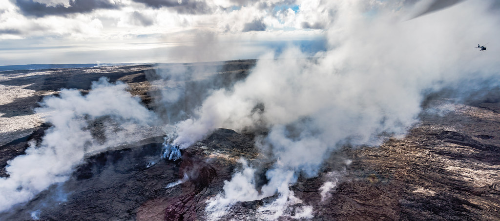
Pu`u `O`o Vent
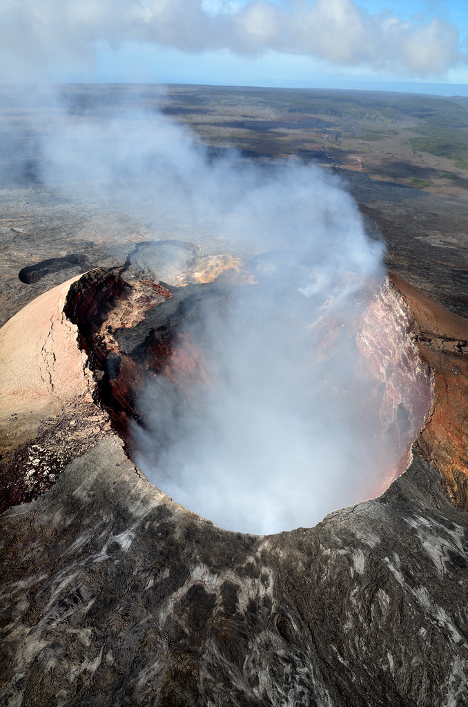
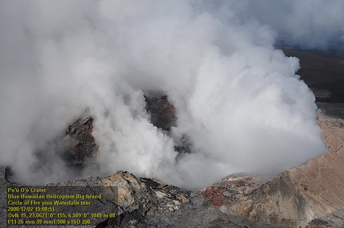
Pu'u Ō'ō Crater
HW7042VF2_4548 Pu'u O'o Crater.JPG

Comet's Tail
HW7042VF2_4561 Pu'u O'o Crater.JPG
HW7428VF2_4929.JPG
HW7035VF2_4536.JPG
HW7042VF2_4564 Pu'u O'o Crater.JPG
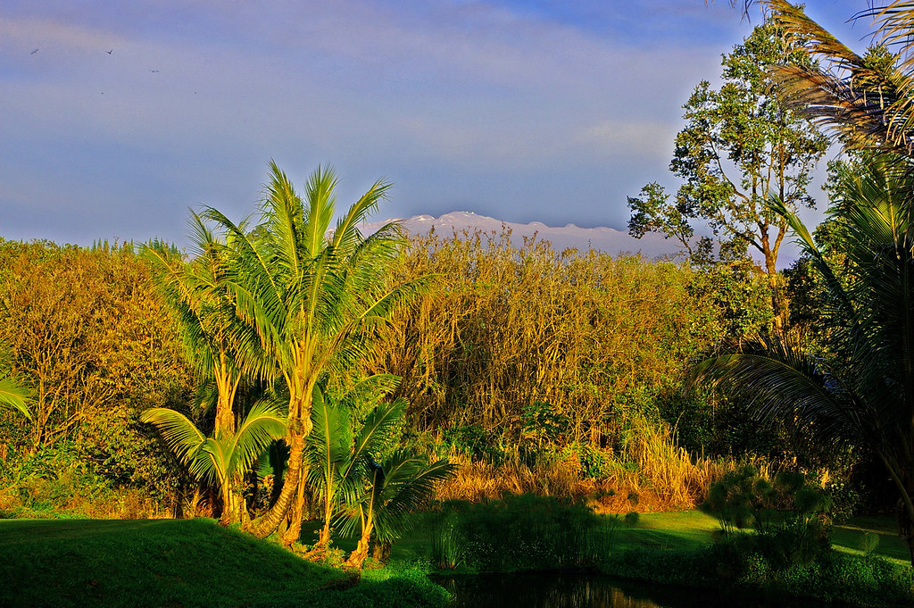
Mauna Kea in early morning light from Mountain View, Hawaii
HW7033VF2_4534.JPG
HW6981VF2_4482.JPG
HW7401VF2_4902.JPG
HW7404VF2_4905.JPG
HW7042VF2_4555 Pu'u O'o Crater.JPG
HW7126VF2_4627.JPG
HW7151VF2_4652.JPG
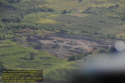
Big Island helicopter ride
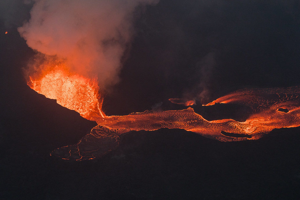
Hawaii Kilauea Volcano Fissure 8 Lava

Leilani Eruption
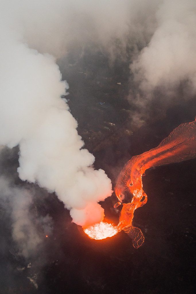
Kilauea Hawaii Volcano - Fissure 8

Black Flood

Kilauea Hawaii Volcano - Fissure 8
it’s been a solid 2013; looking forward to an even better 2014 for the #HawaiiTechWorks community

Hawaii, Big Island - 3

⛅️

God Beams

Hawaii, Big Island - 2
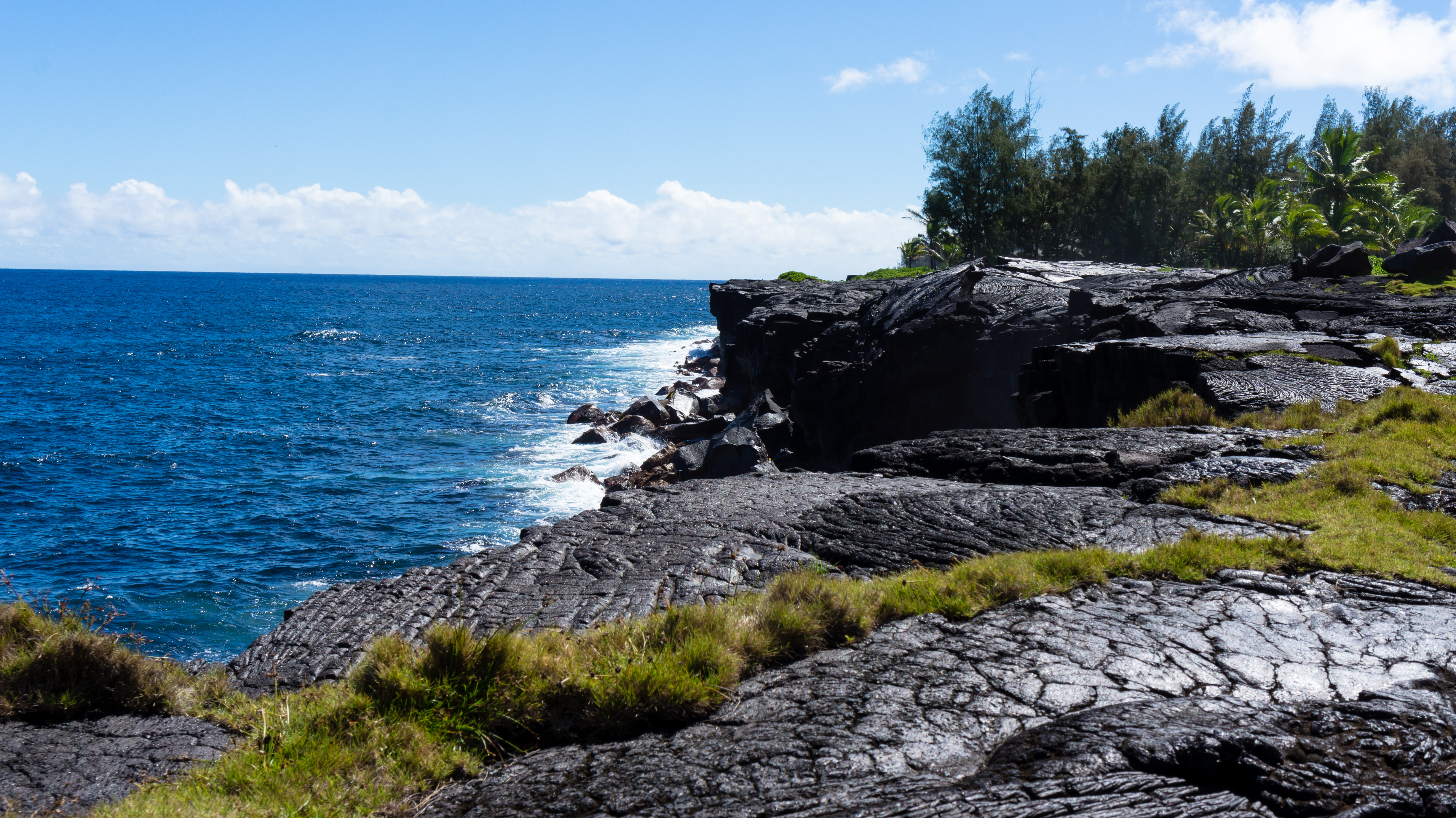
Near Kea'au
Topographic Map of Road 5 & Uau Road, Rd 5 & Uau Rd, Hawaiian Acres, HI, USA
Find elevation by address:

Places near Road 5 & Uau Road, Rd 5 & Uau Rd, Hawaiian Acres, HI, USA:
Road 5 & Uau Road
16-1820 A O Rd
16-2006 Uhini Ana Rd
11-2896 Plumeria St
11-2980 Plumeria St
111161 Anthurium St
11-3064 Lehua St
11-3021 Lehua St
112789 Pikake St
11-3022 Pikake St
Hibiscus Street
112793 Pikake St
11-2859 Pikake St
11 Anthurium St
Waimaka O Pele Road
11-2991 Waimaka O Pele Rd
Pahoehoe Road
Waimaka O Pele Road
11-1563 Pahoehoe Rd
11-2920 Apele Rd
Recent Searches:
- Elevation of Sattva Horizon, 4JC6+G9P, Vinayak Nagar, Kattigenahalli, Bengaluru, Karnataka, India
- Elevation of Great Brook Sports, Gold Star Hwy, Groton, CT, USA
- Elevation of 10 Mountain Laurels Dr, Nashua, NH, USA
- Elevation of 16 Gilboa Ln, Nashua, NH, USA
- Elevation of Laurel Rd, Townsend, TN, USA
- Elevation of 3 Nestling Wood Dr, Long Valley, NJ, USA
- Elevation of Ilungu, Tanzania
- Elevation of Yellow Springs Road, Yellow Springs Rd, Chester Springs, PA, USA
- Elevation of Rēzekne Municipality, Latvia
- Elevation of Plikpūrmaļi, Vērēmi Parish, Rēzekne Municipality, LV-, Latvia