Elevation of 11 Anthurium St, Pāhoa, HI, USA
Location: United States > Hawaii > Hawaii County > Pāhoa >
Longitude: -155.06964
Latitude: 19.4763168
Elevation: 495m / 1624feet
Barometric Pressure: 96KPa
Elevation Map:
Satellite Map:
Related Photos:

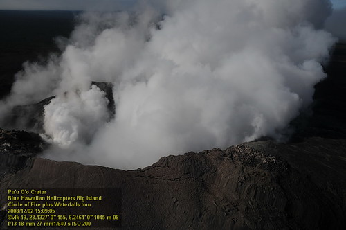
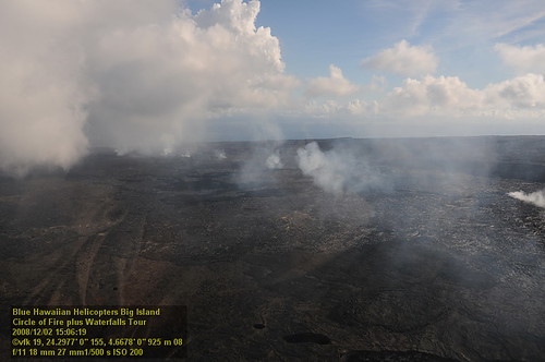
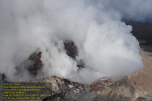
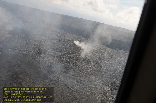
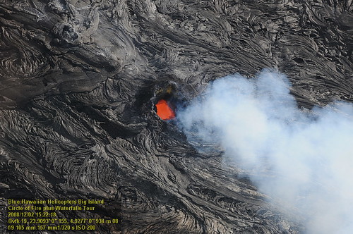
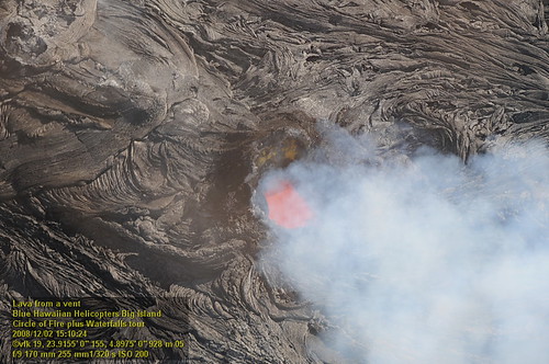
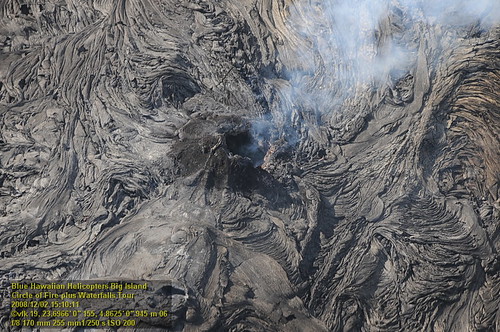
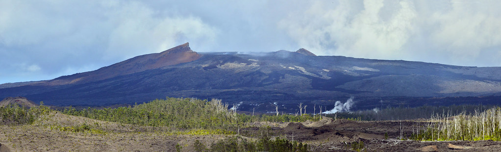
Pu`u `O`o Vent
Mount Kilauea Volcano 2560
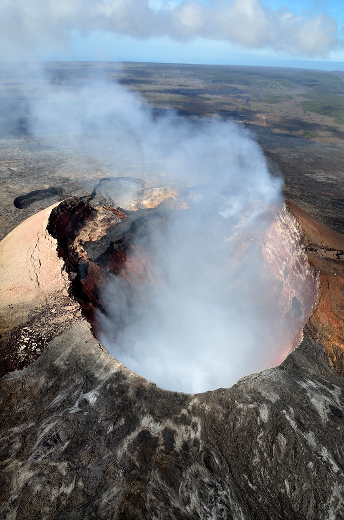
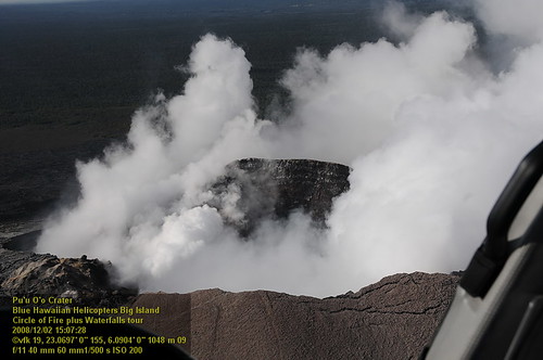
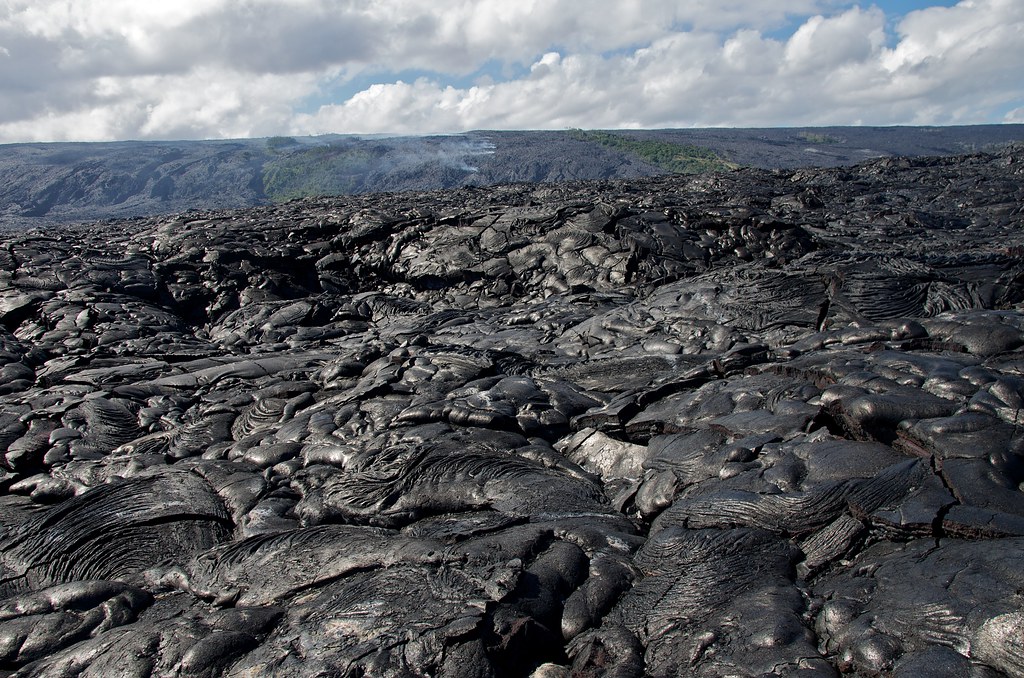
Pu'u Ō'ō Crater
HW7428VF2_4929.JPG

Palm Frond at dawn, Hawaii
HW7042VF2_4564 Pu'u O'o Crater.JPG
HW7176VF2_4677.JPG

Comet's Tail
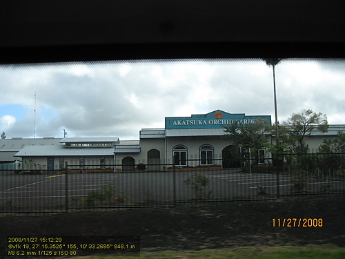
HW4394IMG_1757 Akatsuka Orchid Gardens.JPG
HW7042VF2_4548 Pu'u O'o Crater.JPG
HW7174VF2_4675.JPG
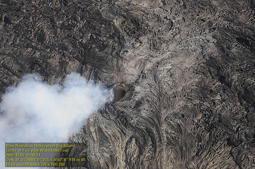
HW7033VF2_4534.JPG
HW7042VF2_4561 Pu'u O'o Crater.JPG
HW7401VF2_4902.JPG
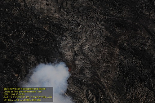
HW7035VF2_4536.JPG

Sunup on a snowy Mauna Kea from Mountain View B&B, Hawaii
HW7404VF2_4905.JPG
HW7165VF2_4666.JPG
HW7151VF2_4652.JPG
HW7001VF2_4502.JPG

16-2108 IO KEA RD MOUNTAIN VIEW, HI 96771

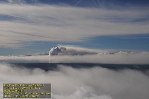
this is where clouds come from

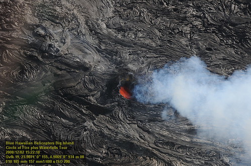
Kīlauea volcano

Kīlauea volcano

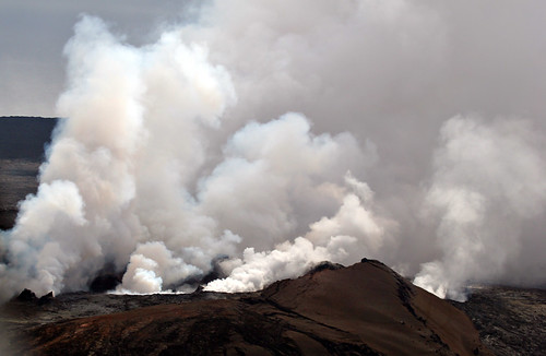
lava + sea = lots of steam

Kīlauea volcano

lava + sea = lots of steam

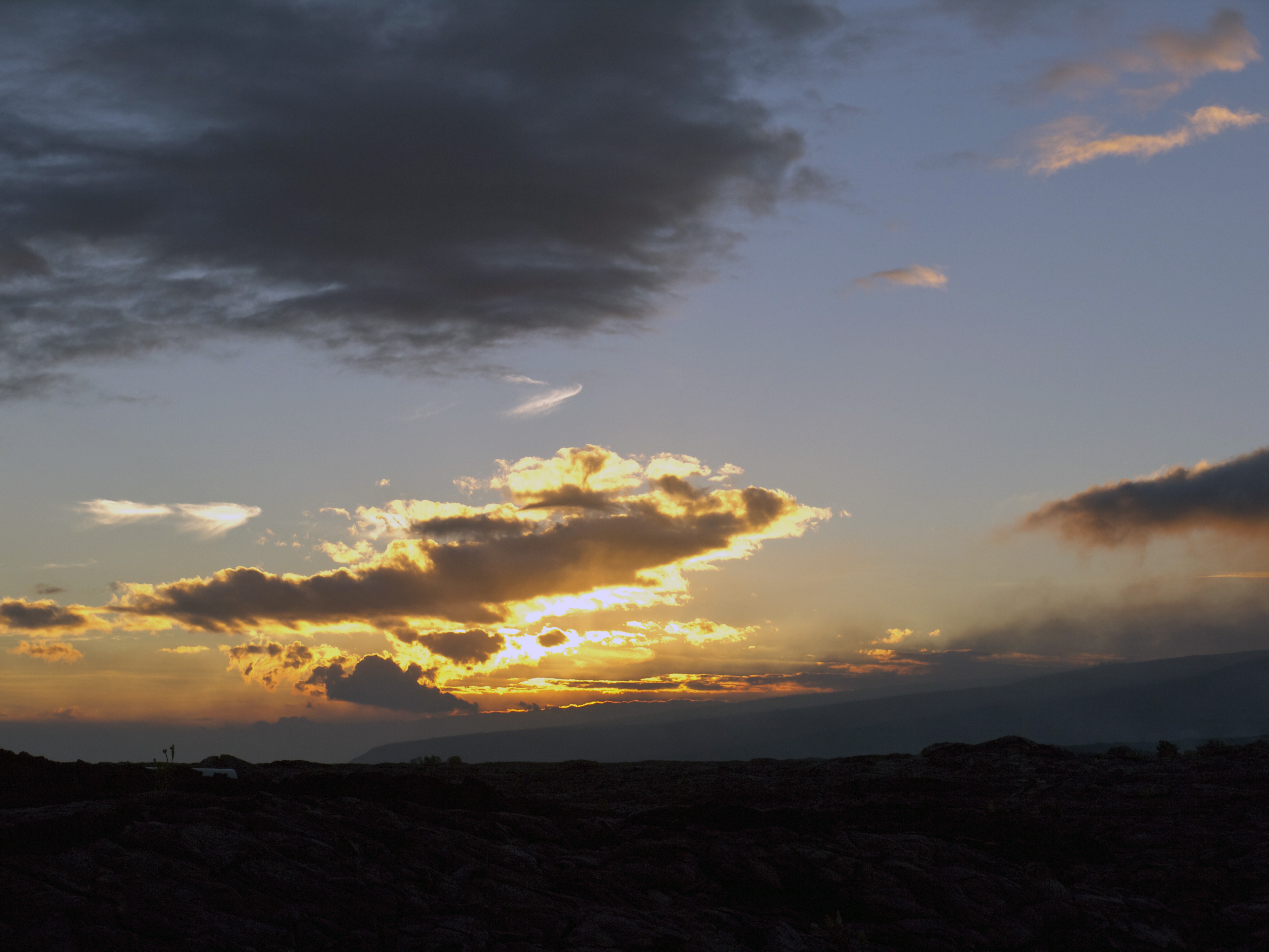
God Beams
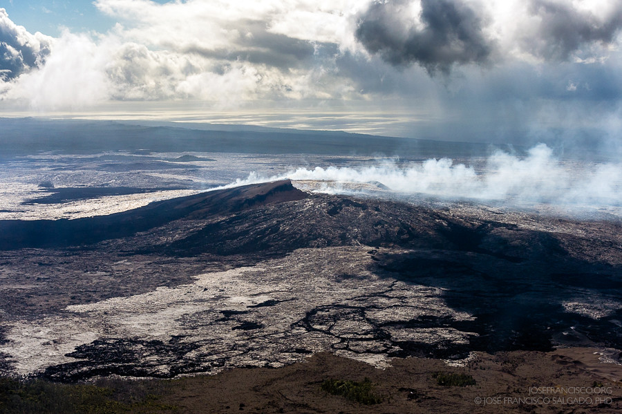
USA, HI, Big Island (Hawai'i). Volcanoes National Park, Pu'u' O'o volcano
Day old earth

⛅️
Hilo-2
Pu'u 'O'o cinder/spatter cone [7767]
Big Island Hawaii 10/29/10 - 47
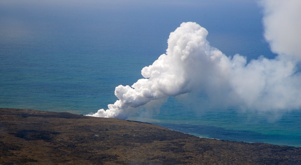
When Lava meets the sea

Hawaii, Big Island - 3

Hawaii, Big Island - 2

Hawaii, Big Island - 2
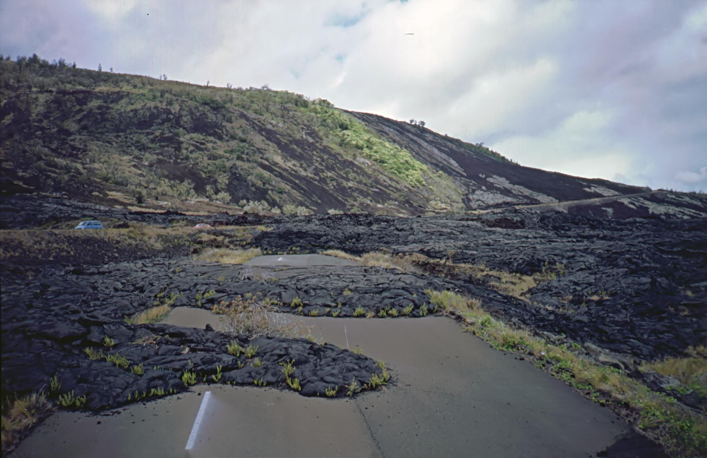
Road Closed
Topographic Map of 11 Anthurium St, Pāhoa, HI, USA
Find elevation by address:

Places near 11 Anthurium St, Pāhoa, HI, USA:
112789 Pikake St
112793 Pikake St
11-1563 Pahoehoe Rd
11-2859 Pikake St
Pahoehoe Road
111161 Anthurium St
11-2920 Apele Rd
11-2991 Waimaka O Pele Rd
11-2896 Plumeria St
16-2006 Uhini Ana Rd
11-1841 Pilo St
11-3022 Pikake St
11-1759 Alapua St
11-3021 Lehua St
11-1760 Alapua St
Punahele Street
Waimaka O Pele Road
11-2980 Plumeria St
Kopuafarmlots
11-3064 Lehua St
Recent Searches:
- Elevation of Sattva Horizon, 4JC6+G9P, Vinayak Nagar, Kattigenahalli, Bengaluru, Karnataka, India
- Elevation of Great Brook Sports, Gold Star Hwy, Groton, CT, USA
- Elevation of 10 Mountain Laurels Dr, Nashua, NH, USA
- Elevation of 16 Gilboa Ln, Nashua, NH, USA
- Elevation of Laurel Rd, Townsend, TN, USA
- Elevation of 3 Nestling Wood Dr, Long Valley, NJ, USA
- Elevation of Ilungu, Tanzania
- Elevation of Yellow Springs Road, Yellow Springs Rd, Chester Springs, PA, USA
- Elevation of Rēzekne Municipality, Latvia
- Elevation of Plikpūrmaļi, Vērēmi Parish, Rēzekne Municipality, LV-, Latvia