Elevation of Anthurium St, Pāhoa, HI, USA
Location: United States > Hawaii > Hawaii County > Hawaiian Acres >
Longitude: -155.05219
Latitude: 19.4858187
Elevation: 422m / 1385feet
Barometric Pressure: 96KPa
Elevation Map:
Satellite Map:
Related Photos:

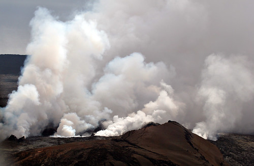
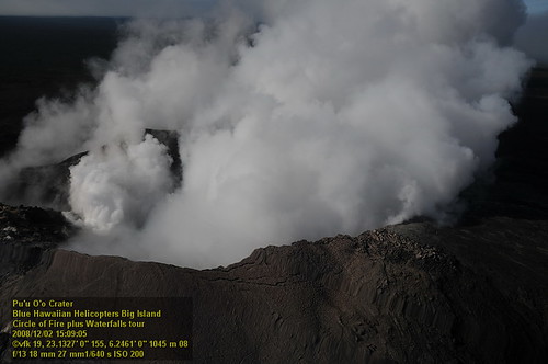
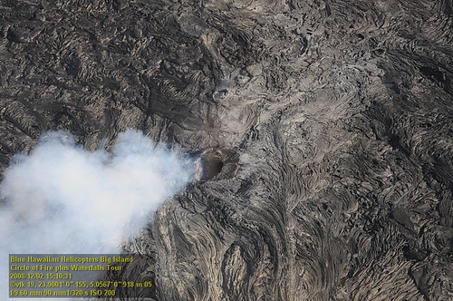
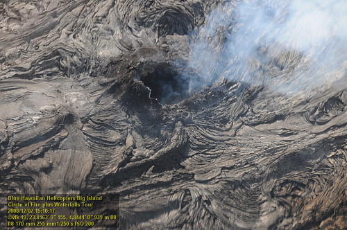
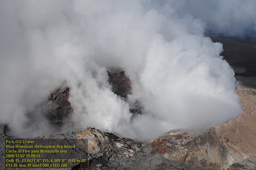
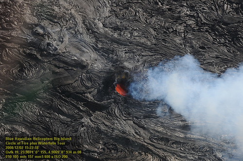
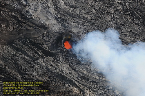
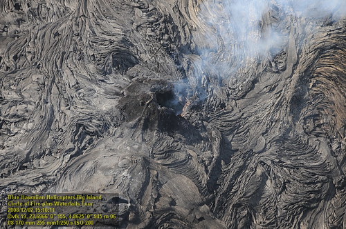
Pu`u `O`o Vent
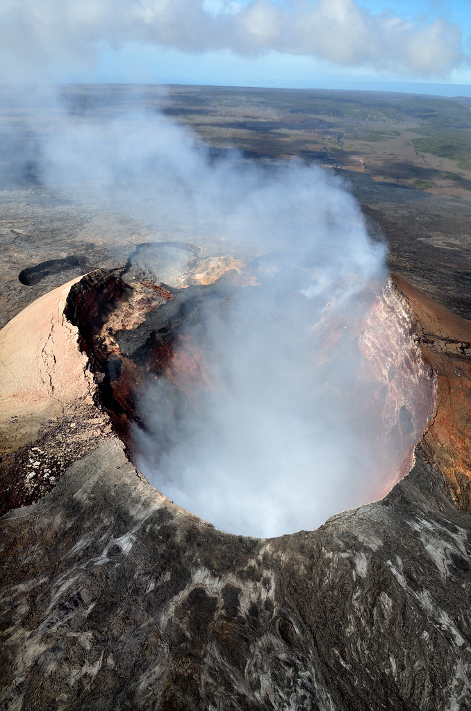
Pu'u Ō'ō Crater

Sunup on a snowy Mauna Kea from Mountain View B&B, Hawaii
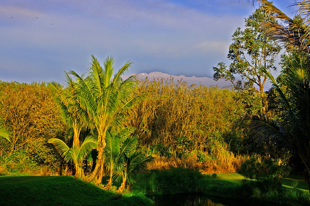
Mauna Kea in early morning light from Mountain View, Hawaii
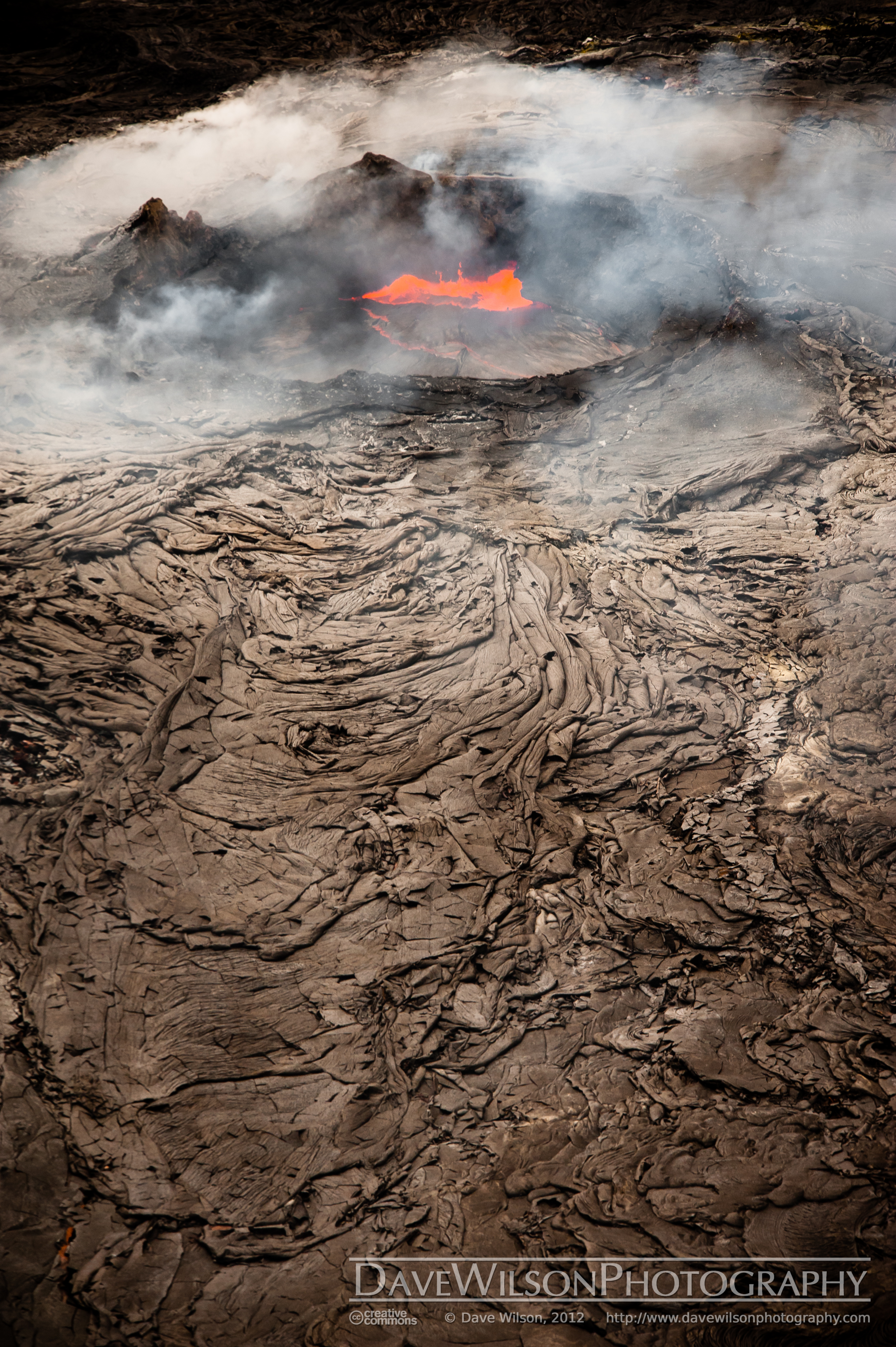
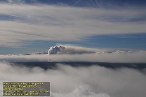
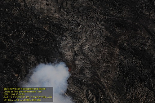
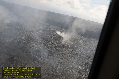
Kilauea Crater and Lava Flow
HW7145VF2_4646.JPG
Mount Kilauea Volcano 2560
HW7428VF2_4929.JPG

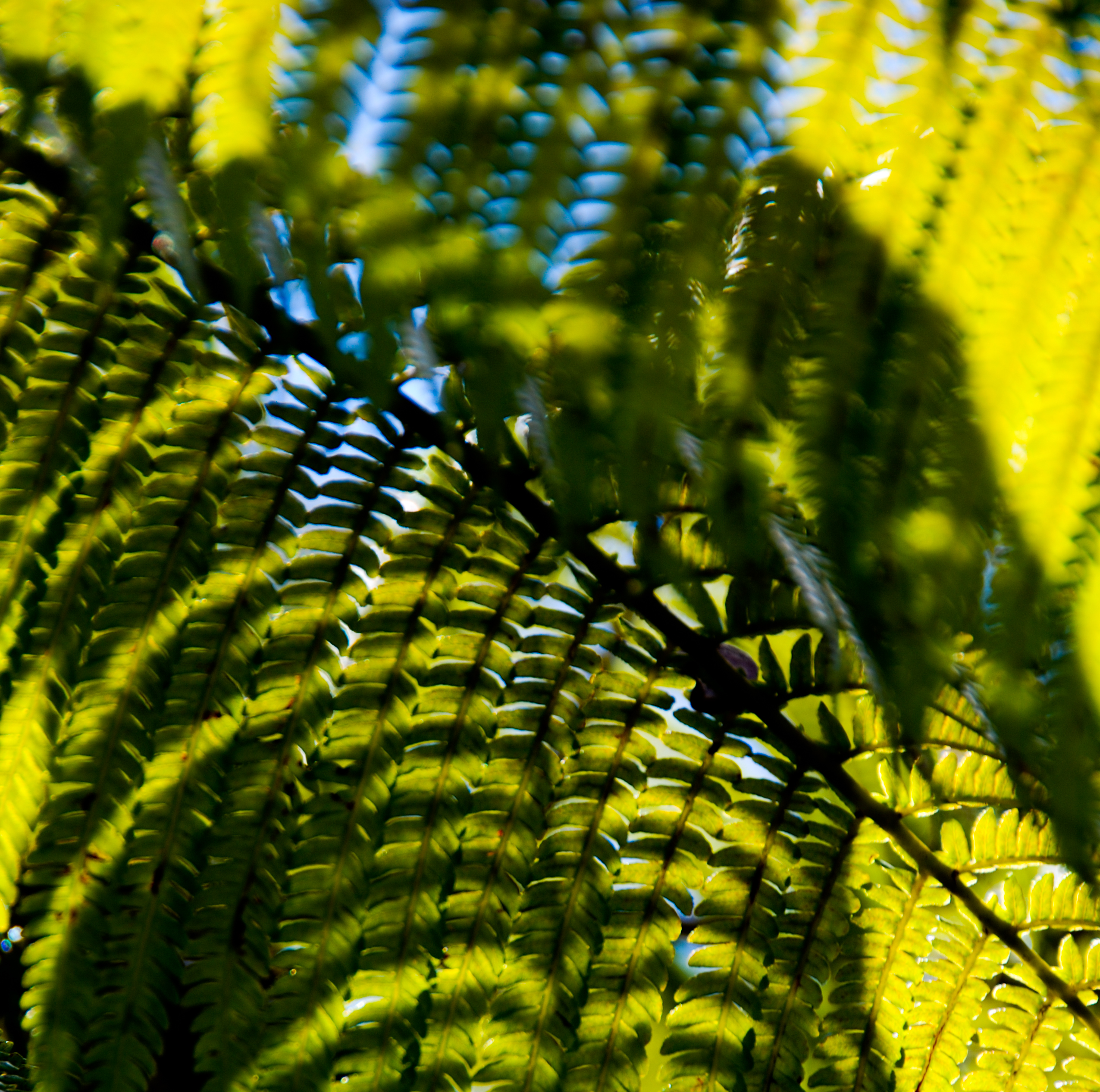
Palm Frond at dawn, Hawaii
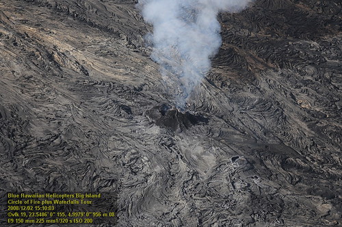
HW7042VF2_4564 Pu'u O'o Crater.JPG
HW7176VF2_4677.JPG
HW7155VF2_4656.JPG

Comet's Tail
HW7174VF2_4675.JPG
HW7033VF2_4534.JPG
HW7042VF2_4561 Pu'u O'o Crater.JPG
HW7401VF2_4902.JPG
HW7035VF2_4536.JPG
HW7404VF2_4905.JPG
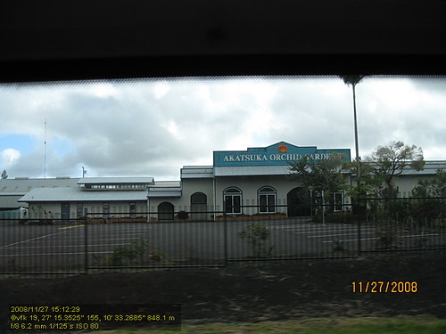
HW4394IMG_1757 Akatsuka Orchid Gardens.JPG
HW7151VF2_4652.JPG
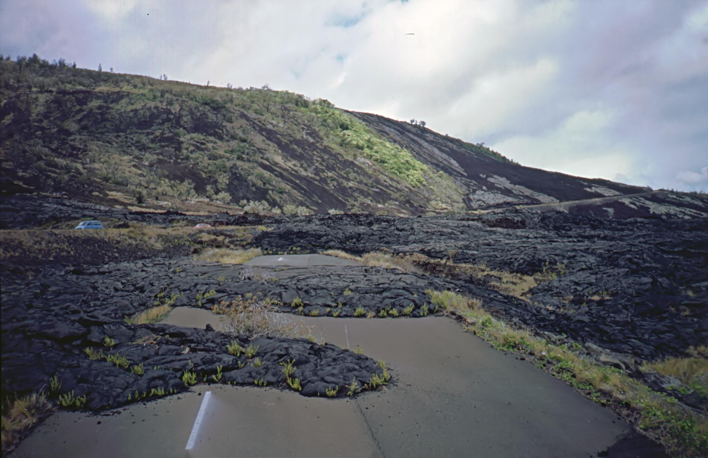
Road Closed

God Beams

this is where clouds come from
USA, HI, Big Island (Hawai'i). Volcanoes National Park, Pu'u' O'o volcano

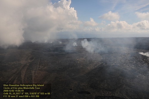
Kīlauea volcano

Kīlauea volcano

lava + sea = lots of steam

Kīlauea volcano

⛅️
Hilo-2
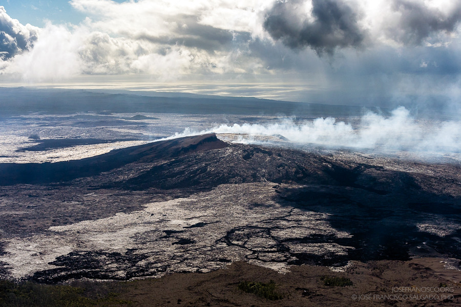
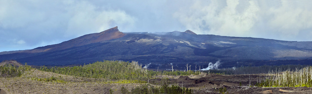
Pu'u 'O'o cinder/spatter cone [7767]
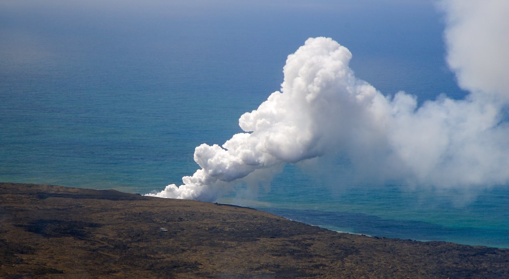
When Lava meets the sea

Hawaii, Big Island - 3

lava + sea = lots of steam

Hawaii, Big Island - 2

Hawaii, Big Island - 2
Topographic Map of Anthurium St, Pāhoa, HI, USA
Find elevation by address:

Places near Anthurium St, Pāhoa, HI, USA:
16-2006 Uhini Ana Rd
11-2896 Plumeria St
11 Anthurium St
112789 Pikake St
112793 Pikake St
11-2980 Plumeria St
11-2859 Pikake St
Road 5 & Uau Road
Road 5 & Uau Road
11-3021 Lehua St
16-1820 A O Rd
11-3064 Lehua St
Pahoehoe Road
11-3022 Pikake St
11-1563 Pahoehoe Rd
11-2920 Apele Rd
11-2991 Waimaka O Pele Rd
Waimaka O Pele Road
Hibiscus Street
Kopuafarmlots
Recent Searches:
- Elevation of Holloway Ave, San Francisco, CA, USA
- Elevation of Norfolk, NY, USA
- Elevation of - San Marcos Pass Rd, Santa Barbara, CA, USA
- Elevation of th Pl SE, Issaquah, WA, USA
- Elevation of 82- D Rd, Captain Cook, HI, USA
- Elevation of Harlow CM20 2PR, UK
- Elevation of Shenyang Agricultural University, Dong Ling Lu, Shen He Qu, Shen Yang Shi, Liao Ning Sheng, China
- Elevation of Alpha Dr, Melbourne, FL, USA
- Elevation of Hiroshima University, 1-chōme-3-2 Kagamiyama, Higashihiroshima, Hiroshima -, Japan
- Elevation of Bernina Dr, Lake Arrowhead, CA, USA