Elevation of Rivers Bend, Bermuda, VA, USA
Location: United States > Virginia > Chesterfield County > Bermuda > Chester >
Longitude: -77.352541
Latitude: 37.3636525
Elevation: 37m / 121feet
Barometric Pressure: 101KPa
Elevation Map:
Satellite Map:
Related Photos:
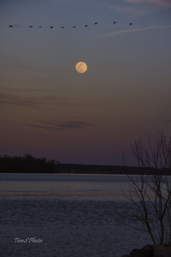
♫I love to sing-a about the moon-a and the June-a and the spring-a♫

Crossing That Bridge

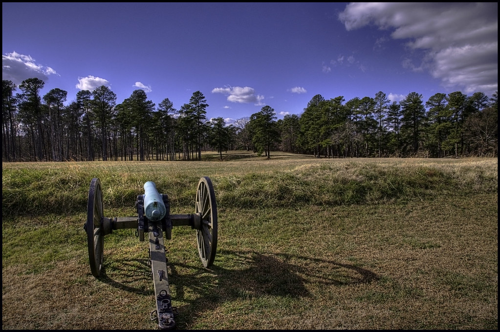
Malvern Hill

THE COOL LINES OF MARBLE, THE VIEW FROM CORPORAL FOLLAND'S GRAVE

BALI-HAI'

Berkeley in Autumn - Harrison's Landing

Shirley Plantation
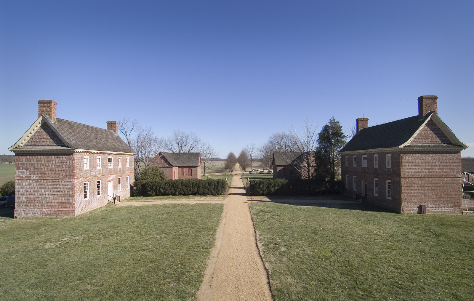
Shirley Plantation
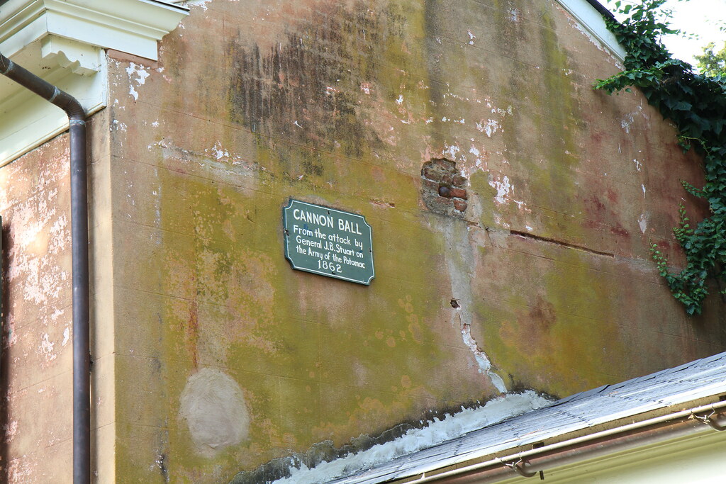
Berkeley - Stuart cannonball

Break out the harmonica.

The train doesn't stop here anymore.
Fort Stedman

Colonial Kitchen

3rd Grade Classroom
Consolation Prize
Blandford Church, 1735

POWHATAN. STATE HIGHWAY HISTORICAL MARKER NO. V-49

Nanticoke River Wetlands

Homemade Indian motorcycle tractor

Shirley Plantation

Aerial view of Richmond Virginia

Insert cloud terminology here.

Sun, sun, sun, there it goes.

Gone with the Wind

lone lake

Malvern Hill

Four Mile Creek fog

Cormorant Takeoff

Virginia Capital Trail becomes a river trail for a while after heavy rains.

Osborne Landing

Jet and canoe at sunset on the James River

SHIRLEY PLANTATION POND AMBER

my street

View of the Union Right

View towards the West House

DJI_0016school copy

Summer sunset on the rivah.
Topographic Map of Rivers Bend, Bermuda, VA, USA
Find elevation by address:

Places in Rivers Bend, Bermuda, VA, USA:
Places near Rivers Bend, Bermuda, VA, USA:
Club Crest Boulevard
711 Dove Path Ln
Ruffin Mill Rd, Colonial Heights, VA, USA
Hooters
Bermuda
Bermuda Crossroad Ln, Chester, VA, USA
Chick-fil-a
13831 Exhall Dr
15801 Woods Edge Rd
3266 Stone Manor Cir
8240 Recreation Rd
8240 Recreation Rd
8240 Recreation Rd
8240 Recreation Rd
1609 River Bend Estates Dr
Colony Village Apartments
Mistwood Forest Ct, Chester, VA, USA
Jefferson Davis Hwy, Richmond, VA, USA
100 Moose Ln
Conjurers Neck
Recent Searches:
- Elevation of Leguwa, Nepal
- Elevation of County Rd, Enterprise, AL, USA
- Elevation of Kolchuginsky District, Vladimir Oblast, Russia
- Elevation of Shustino, Vladimir Oblast, Russia
- Elevation of Lampiasi St, Sarasota, FL, USA
- Elevation of Elwyn Dr, Roanoke Rapids, NC, USA
- Elevation of Congressional Dr, Stevensville, MD, USA
- Elevation of Bellview Rd, McLean, VA, USA
- Elevation of Stage Island Rd, Chatham, MA, USA
- Elevation of Shibuya Scramble Crossing, 21 Udagawacho, Shibuya City, Tokyo -, Japan