Elevation of Dove Path Ln, Colonial Heights, VA, USA
Location: United States > Virginia > Colonial Heights >
Longitude: -77.370821
Latitude: 37.3326944
Elevation: 46m / 151feet
Barometric Pressure: 101KPa
Elevation Map:
Satellite Map:
Related Photos:

♫I love to sing-a about the moon-a and the June-a and the spring-a♫
Break out the harmonica.

Malvern Hill Battlefield -- Historic Marker looking toward the Union guns

Consolation Prize

THE COOL LINES OF MARBLE, THE VIEW FROM CORPORAL FOLLAND'S GRAVE
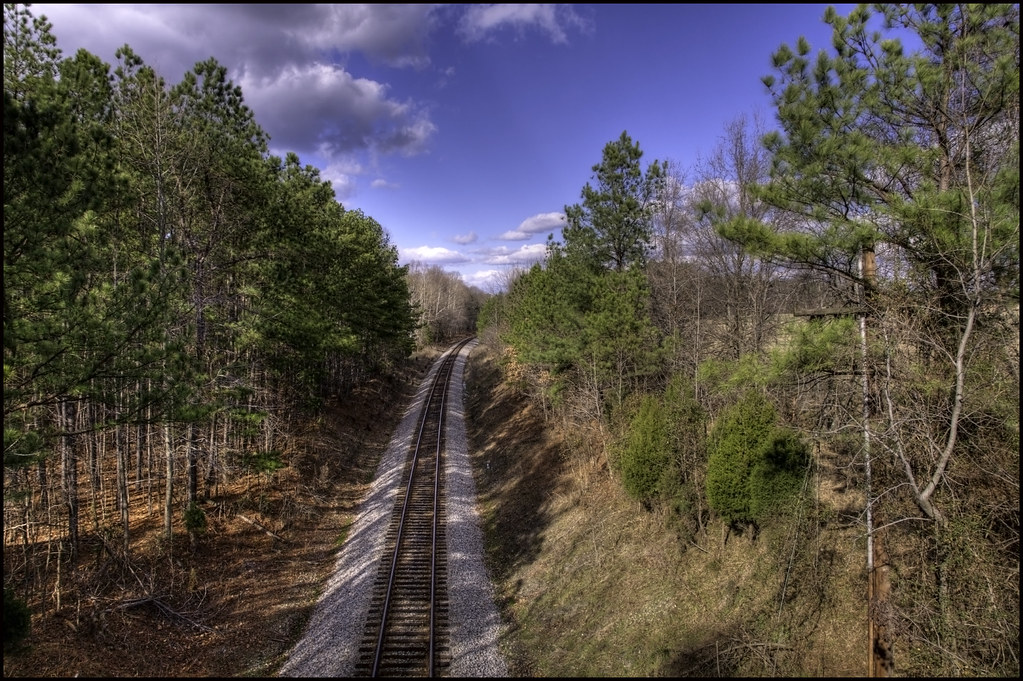
The train doesn't stop here anymore.
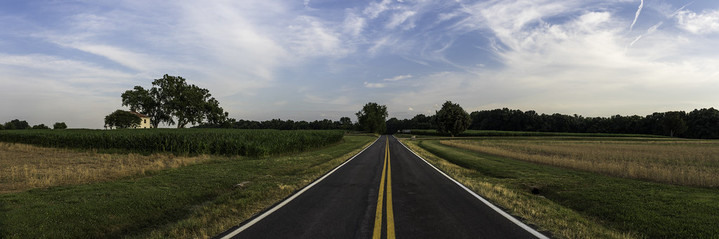
The Cavalier - May 6, 2017
A Home on the James

BALI-HAI'
Present-Day View from Drewry's Bluff -- Richmond National Battlefield Park (VA) 2013

The Cavalier - May 6, 2017
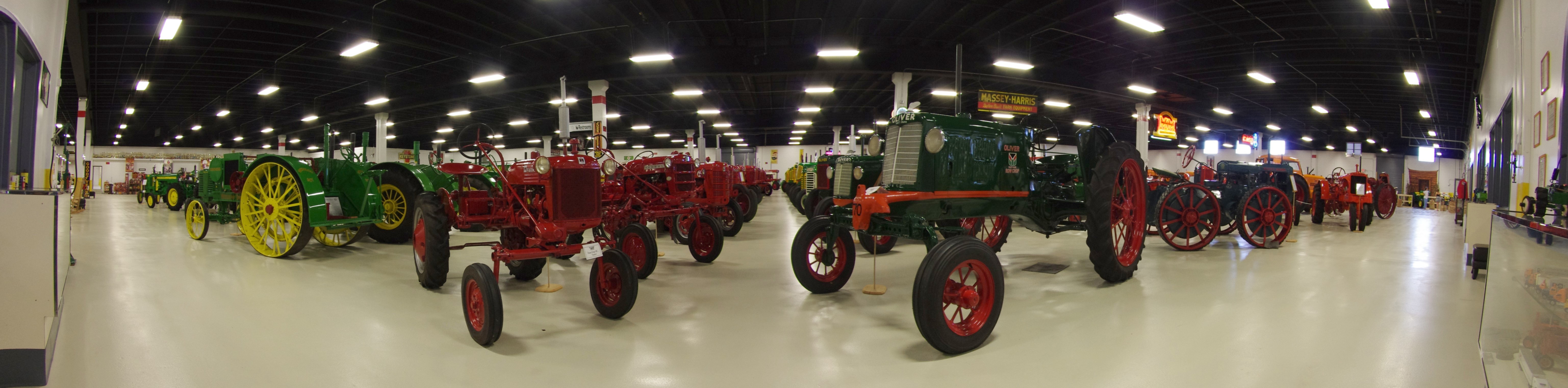
Keystone Tractor Works Panorama

Hopewell City Hall Peter Francisco Monument
View of the Union position from The Crater

The Crater

Fort Stedman

Great view of the clouds this morning. #weather #ccvawx #rvawx
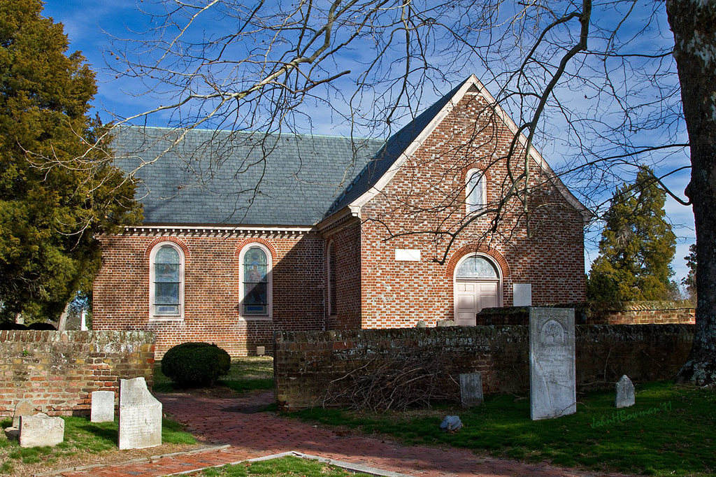
Blandford Church, 1735
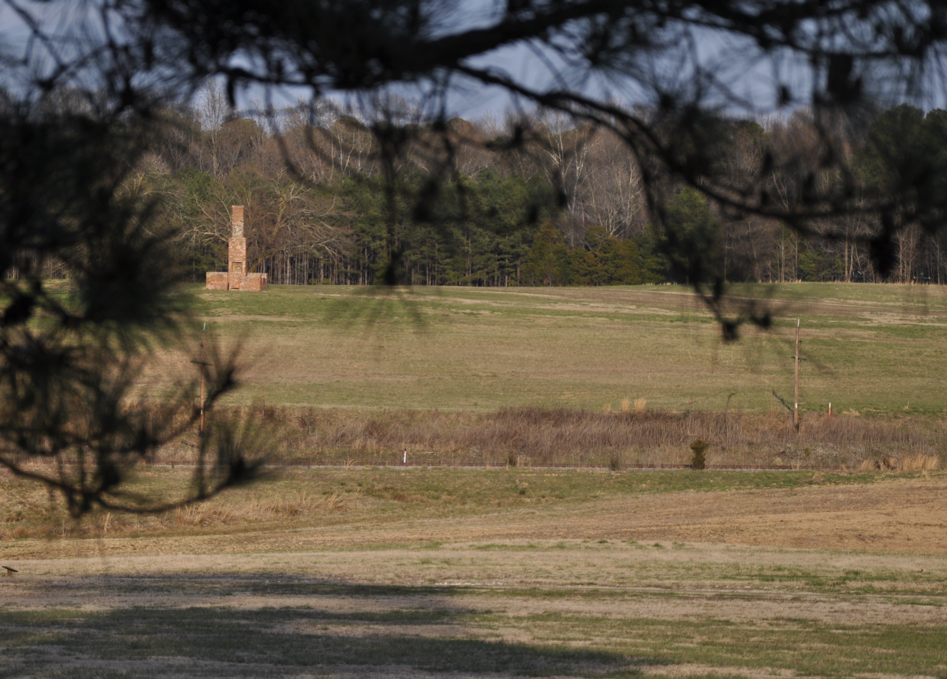
Malvern Hill
Norfolk And Petersburg Railroad

Death's head piece from my solo show. Available for purchase or viewing all month at @suburbanvinyl

lone lake

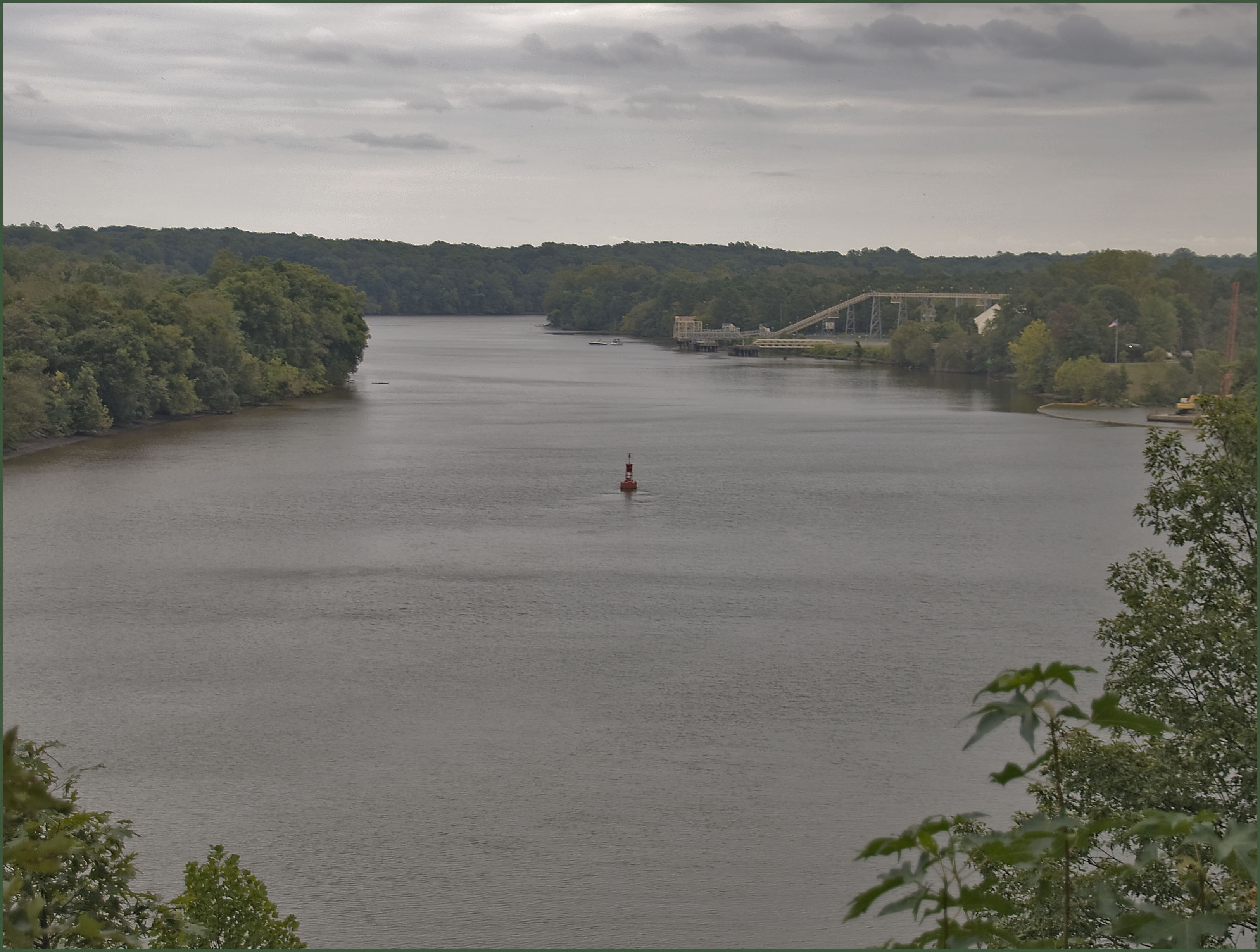
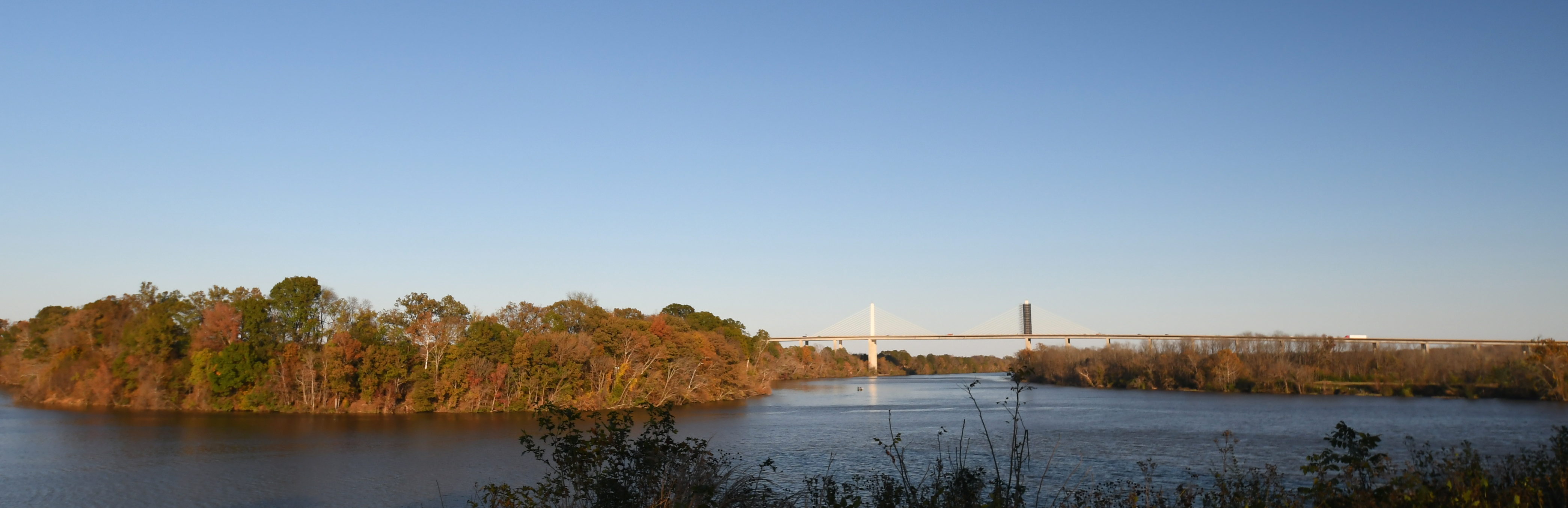
Appomattox River-Petersburg, VA
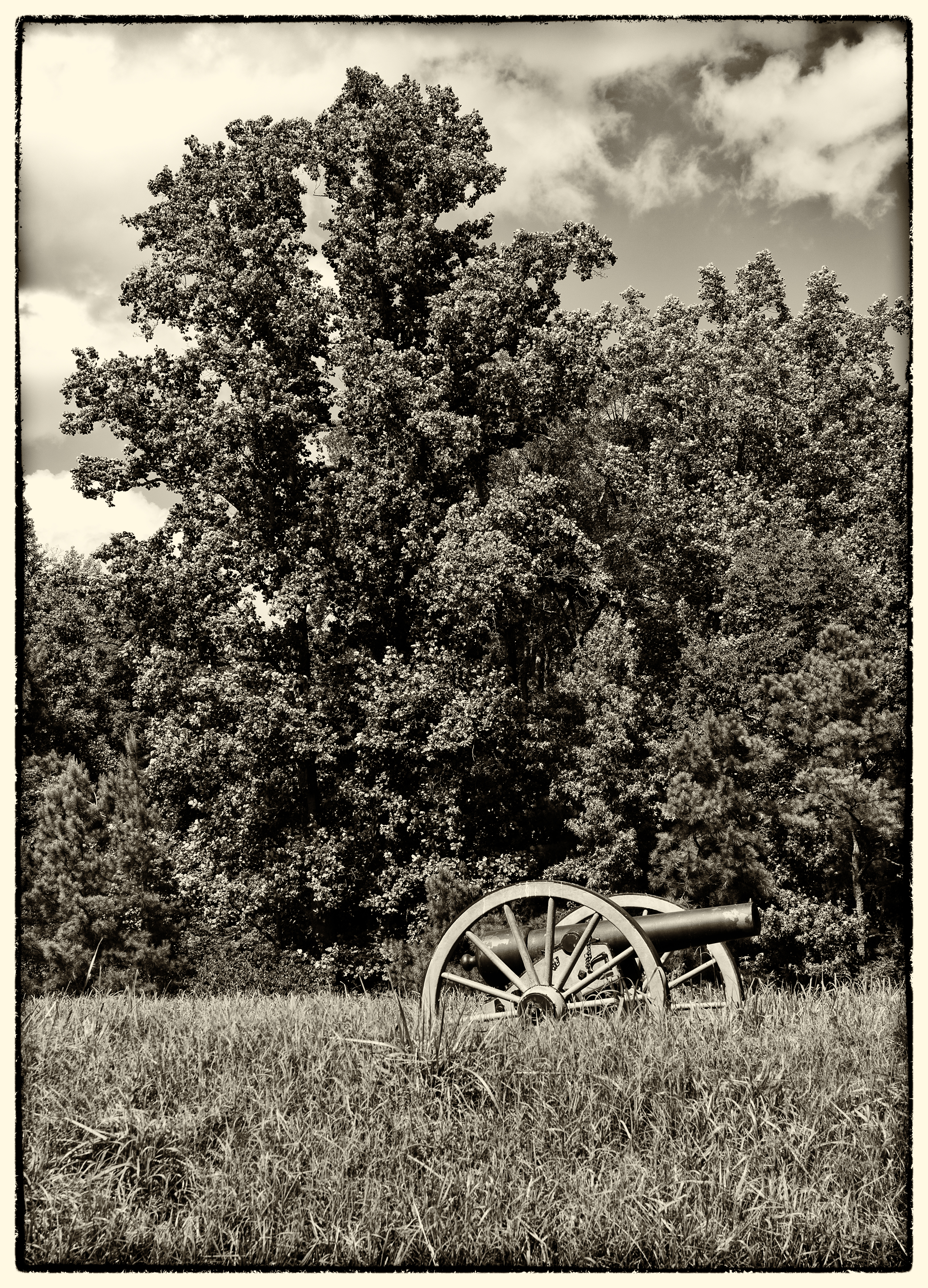
Confederate Cannon "Battery 5"

forgotten dock
Henricus Panorama
Malvern Hill

Insert cloud terminology here.
presquile-65.jpg

my street

It's a long way home, but I enjoyed the Journey ???? #kona #optoutside #everytrailconnects #konabikes #cyclinglife #cycling #cyclingphotos #roadbike #roadcycling #instacycling #cyclingshots #neverstopexploring #welivetoexplore #virginia #outdoorlife #o

SHIRLEY PLANTATION POND AMBER
6/28/2011 (295/365) - CRA
Calm Waters, Stormy Sky (Explored)
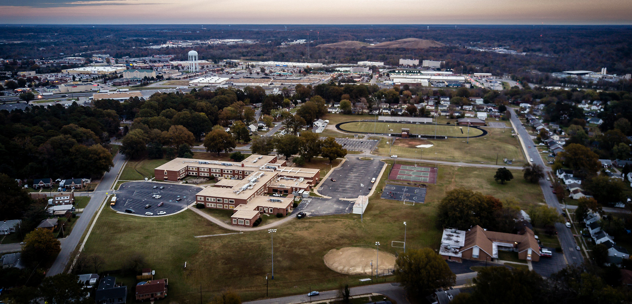
DJI_0016school copy
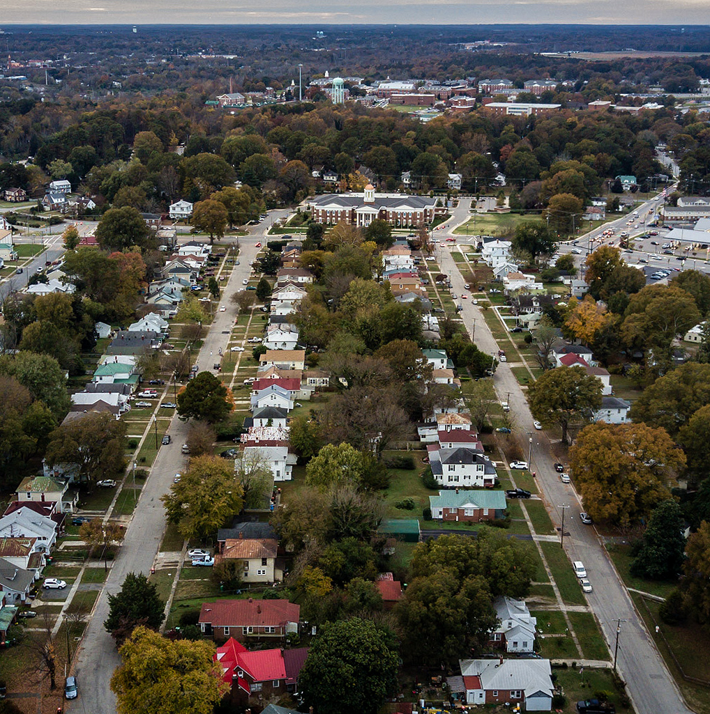
DJI_0021 copy
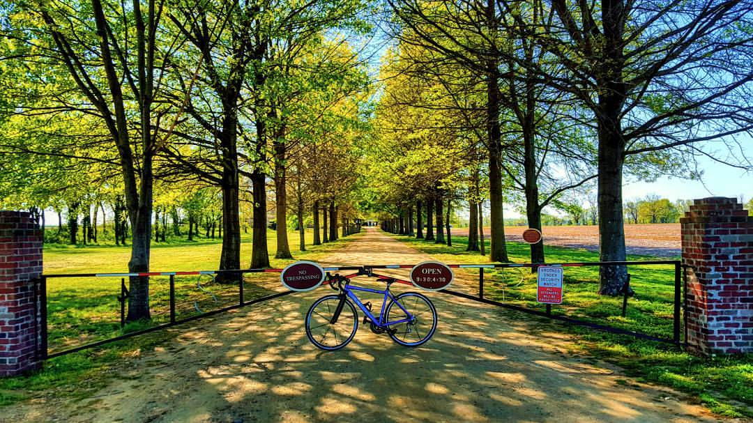
Today's adventure took me over 45 miles along the Virginia Capital Trail. It was so gorgeous out there I just couldn't stop! It's amazing knowing what the human body is capable of and knowing I got there all on my own. Who needs a car anyways?! #neverstop

DJI_0024 copy
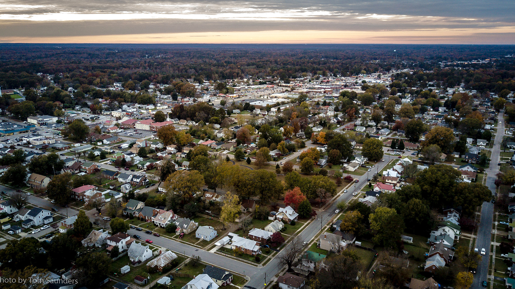
DJI_0030 copy

DJI_0016blur copy
Topographic Map of Dove Path Ln, Colonial Heights, VA, USA
Find elevation by address:

Places near Dove Path Ln, Colonial Heights, VA, USA:
Ruffin Mill Rd, Colonial Heights, VA, USA
Bermuda
Rivers Bend
15801 Woods Edge Rd
Club Crest Boulevard
Hooters
Colonial Heights, VA, USA
100 Moose Ln
Conjurers Neck
13831 Exhall Dr
White Bank Park
Mistwood Forest Ct, Chester, VA, USA
212 Kingfisher Way
Bermuda Crossroad Ln, Chester, VA, USA
Chick-fil-a
1024 Taylor Ln
Clifton Dr, Colonial Heights, VA, USA
1001 Taylor Ln
Deerwood Drive
Juniper Rd, Prince George, VA, USA
Recent Searches:
- Elevation of Felindre, Swansea SA5 7LU, UK
- Elevation of Leyte Industrial Development Estate, Isabel, Leyte, Philippines
- Elevation of W Granada St, Tampa, FL, USA
- Elevation of Pykes Down, Ivybridge PL21 0BY, UK
- Elevation of Jalan Senandin, Lutong, Miri, Sarawak, Malaysia
- Elevation of Bilohirs'k
- Elevation of 30 Oak Lawn Dr, Barkhamsted, CT, USA
- Elevation of Luther Road, Luther Rd, Auburn, CA, USA
- Elevation of Unnamed Road, Respublika Severnaya Osetiya — Alaniya, Russia
- Elevation of Verkhny Fiagdon, North Ossetia–Alania Republic, Russia