Elevation of River Township, AR, USA
Location: United States > Arkansas > Bradley County >
Longitude: -92.282738
Latitude: 33.3052898
Elevation: 23m / 75feet
Barometric Pressure: 101KPa
Elevation Map:
Satellite Map:
Related Photos:
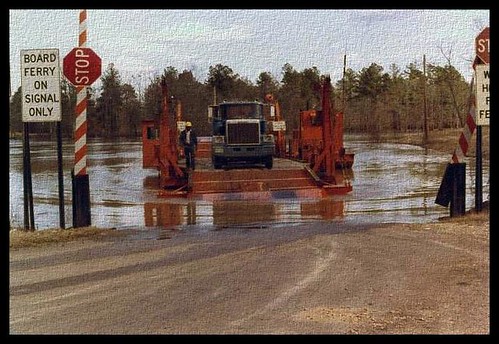
Moro Bay Ferry

Moro Bay Ferry

Have a Good Weekend

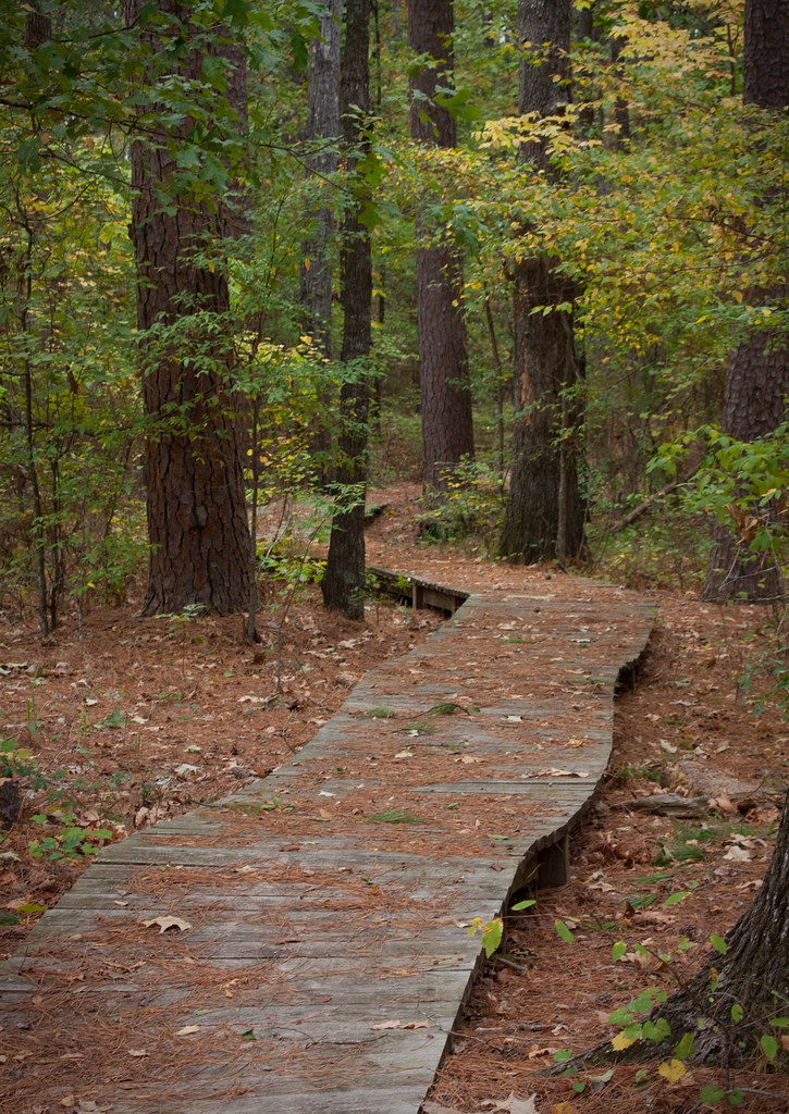
a short walk
i'll walk with you
Topographic Map of River Township, AR, USA
Find elevation by address:

Places in River Township, AR, USA:
Places near River Township, AR, USA:
Sand Slough
Sumpter Township
AR-, Jersey, AR, USA
Jersey
W 4th St, Hermitage, AR, USA
Township 4
Bradley County
Clifton Ivy Rd, Hermitage, AR, USA
Lawson Rd, El Dorado, AR, USA
Lapile Township
US-82, Crossett, AR, USA
Palestine Township
Calion
W Main Calion, El Dorado, AR, USA
Calhoun 40, Hampton, AR, USA
1217 T Ave W
Franklin Township
AR-8, Hermitage, AR, USA
Olin Ave, Huttig, AR, USA
Huttig
Recent Searches:
- Elevation of Woodland Oak Pl, Thousand Oaks, CA, USA
- Elevation of Brownsdale Rd, Renfrew, PA, USA
- Elevation of Corcoran Ln, Suffolk, VA, USA
- Elevation of Mamala II, Sariaya, Quezon, Philippines
- Elevation of Sarangdanda, Nepal
- Elevation of 7 Waterfall Way, Tomball, TX, USA
- Elevation of SW 57th Ave, Portland, OR, USA
- Elevation of Crocker Dr, Vacaville, CA, USA
- Elevation of Pu Ngaol Community Meeting Hall, HWHM+3X7, Krong Saen Monourom, Cambodia
- Elevation of Royal Ontario Museum, Queens Park, Toronto, ON M5S 2C6, Canada