Elevation of Huttig, AR, USA
Location: United States > Arkansas > Union County > Lapile Township >
Longitude: -92.182636
Latitude: 33.0395719
Elevation: 30m / 98feet
Barometric Pressure: 101KPa
Elevation Map:
Satellite Map:
Related Photos:
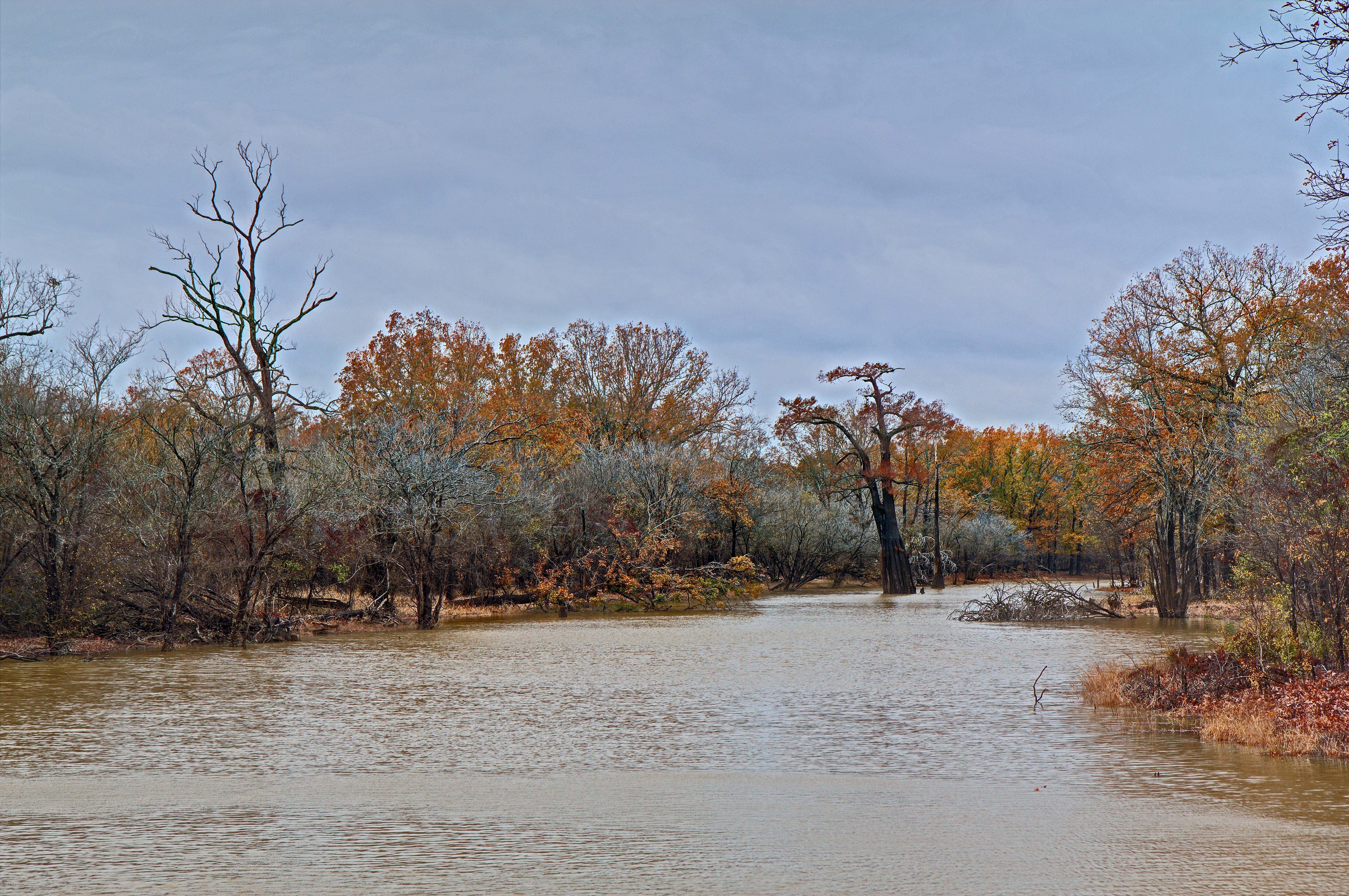
The old cypress Tree north of Ceclie Creek Road Bridge
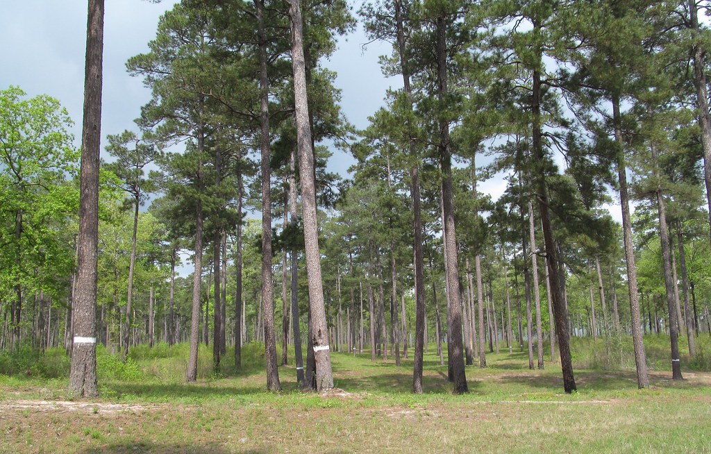
Red-cockaded Woodpecker colony

Throwback Thursdays
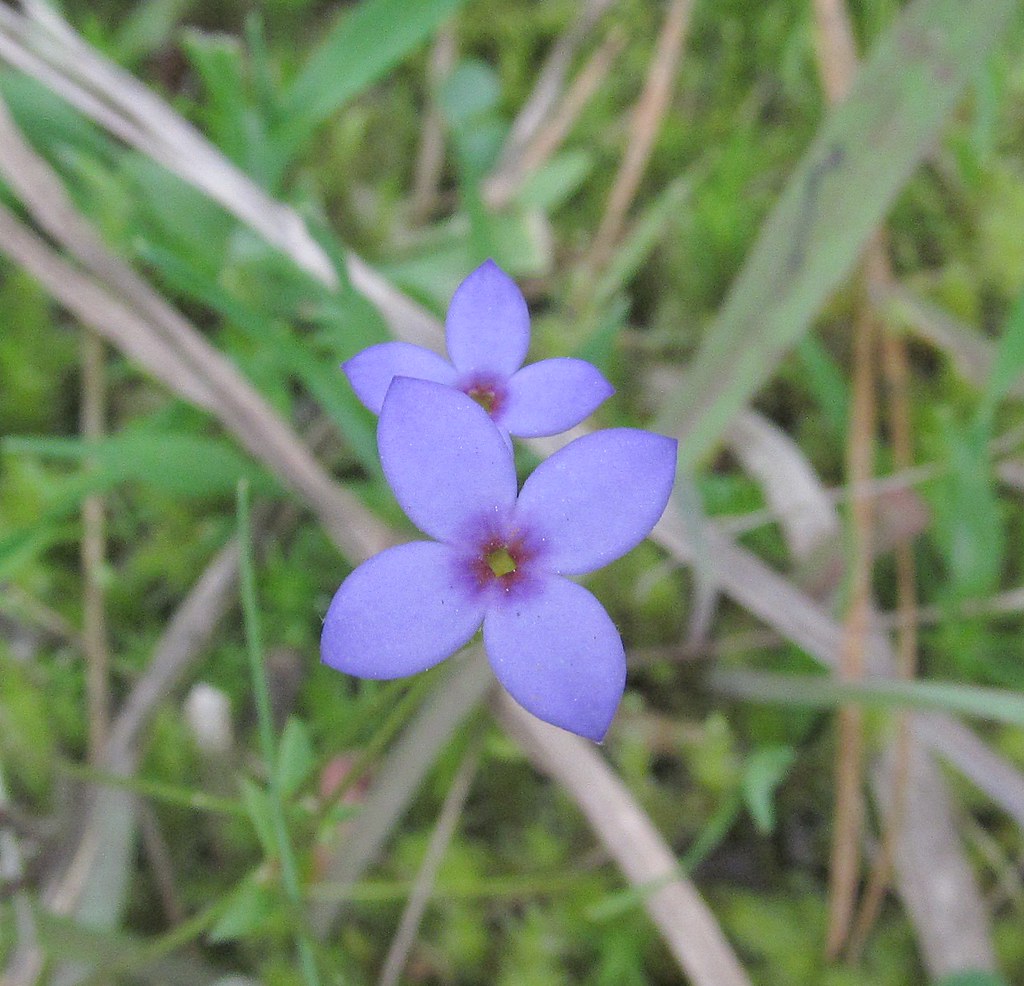
Houstonia pusilla (Least Bluet) 1 more below

ouachita river campfire

A SCOUT IS WETTER HERE
Topographic Map of Huttig, AR, USA
Find elevation by address:

Places in Huttig, AR, USA:
Places near Huttig, AR, USA:
Olin Ave, Huttig, AR, USA
1217 T Ave W
Lapile Township
US-82, Crossett, AR, USA
Egypt Township
4411 Coronet St
West Crossett
US-82, Crossett, AR, USA
1706 S Louisiana St
Crossett
Hancock Road
Sand Slough
Hancock Rd, Crossett, AR, USA
AR-, Crossett, AR, USA
135 Adkins Rd
Mill Creek Township
River Township
7, LA, USA
Elon Township
3003 Ashley Rd 7 E
Recent Searches:
- Elevation of Allon St, Oceanside, NY, USA
- Elevation of Carroll Creek Rd, Custer, SD, USA
- Elevation of Lust Road, Lust Rd, Florida, USA
- Elevation of Pleasant Valley Rd NW, Adairsville, GA, USA
- Elevation of Općina Šodolovci, Croatia
- Elevation of Šodolovci, Croatia
- Elevation of Old Clairton Rd, Jefferson Hills, PA, USA
- Elevation of st Ave SE, Lisbon, ND, USA
- Elevation of Steamboat Island Road Northwest, Olympia, WA, USA
- Elevation of Kootenai Trail Rd, Bonners Ferry, ID, USA