Elevation of AR-, Jersey, AR, USA
Location: United States > Arkansas > Bradley County > Sumpter Township > Jersey >
Longitude: -92.307566
Latitude: 33.427738
Elevation: 50m / 164feet
Barometric Pressure: 101KPa
Elevation Map:
Satellite Map:
Related Photos:
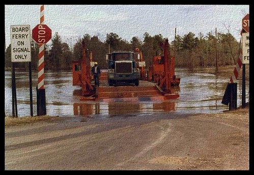
Moro Bay Ferry
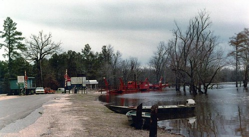
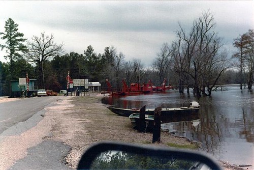
Moro Bay Ferry
Have a Good Weekend
a short walk
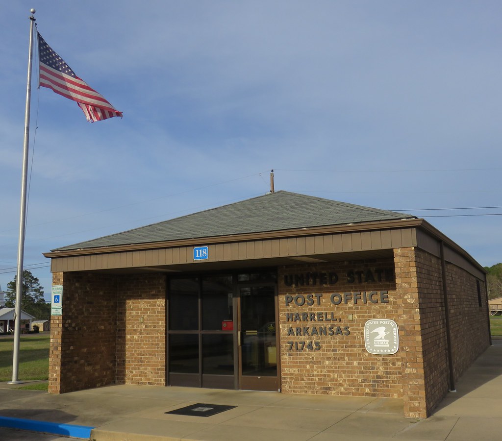
Post Office 71745 (Harrel, Arkansas)
i'll walk with you
Etched in Memory

AMC Javlin
Topographic Map of AR-, Jersey, AR, USA
Find elevation by address:

Places near AR-, Jersey, AR, USA:
Jersey
Sumpter Township
Township 4
Bradley County
River Township
W 4th St, Hermitage, AR, USA
Calhoun 40, Hampton, AR, USA
Sand Slough
Hampton
579 Archer
Township 8
Clifton Ivy Rd, Hermitage, AR, USA
Calhoun County
Calion
W Main Calion, El Dorado, AR, USA
Palestine Township
224 Bradley Rd 226
224 Bradley Rd 226
AR-8, Hermitage, AR, USA
Franklin Township
Recent Searches:
- Elevation of Elwyn Dr, Roanoke Rapids, NC, USA
- Elevation of Congressional Dr, Stevensville, MD, USA
- Elevation of Bellview Rd, McLean, VA, USA
- Elevation of Stage Island Rd, Chatham, MA, USA
- Elevation of Shibuya Scramble Crossing, 21 Udagawacho, Shibuya City, Tokyo -, Japan
- Elevation of Jadagoniai, Kaunas District Municipality, Lithuania
- Elevation of Pagonija rock, Kranto 7-oji g. 8"N, Kaunas, Lithuania
- Elevation of Co Rd 87, Jamestown, CO, USA
- Elevation of Tenjo, Cundinamarca, Colombia
- Elevation of Côte-des-Neiges, Montreal, QC H4A 3J6, Canada