Elevation of River Rd, Bucksport, ME, USA
Location: United States > Maine > Hancock County > Bucksport >
Longitude: -68.807453
Latitude: 44.685111
Elevation: 52m / 171feet
Barometric Pressure: 101KPa
Elevation Map:
Satellite Map:
Related Photos:
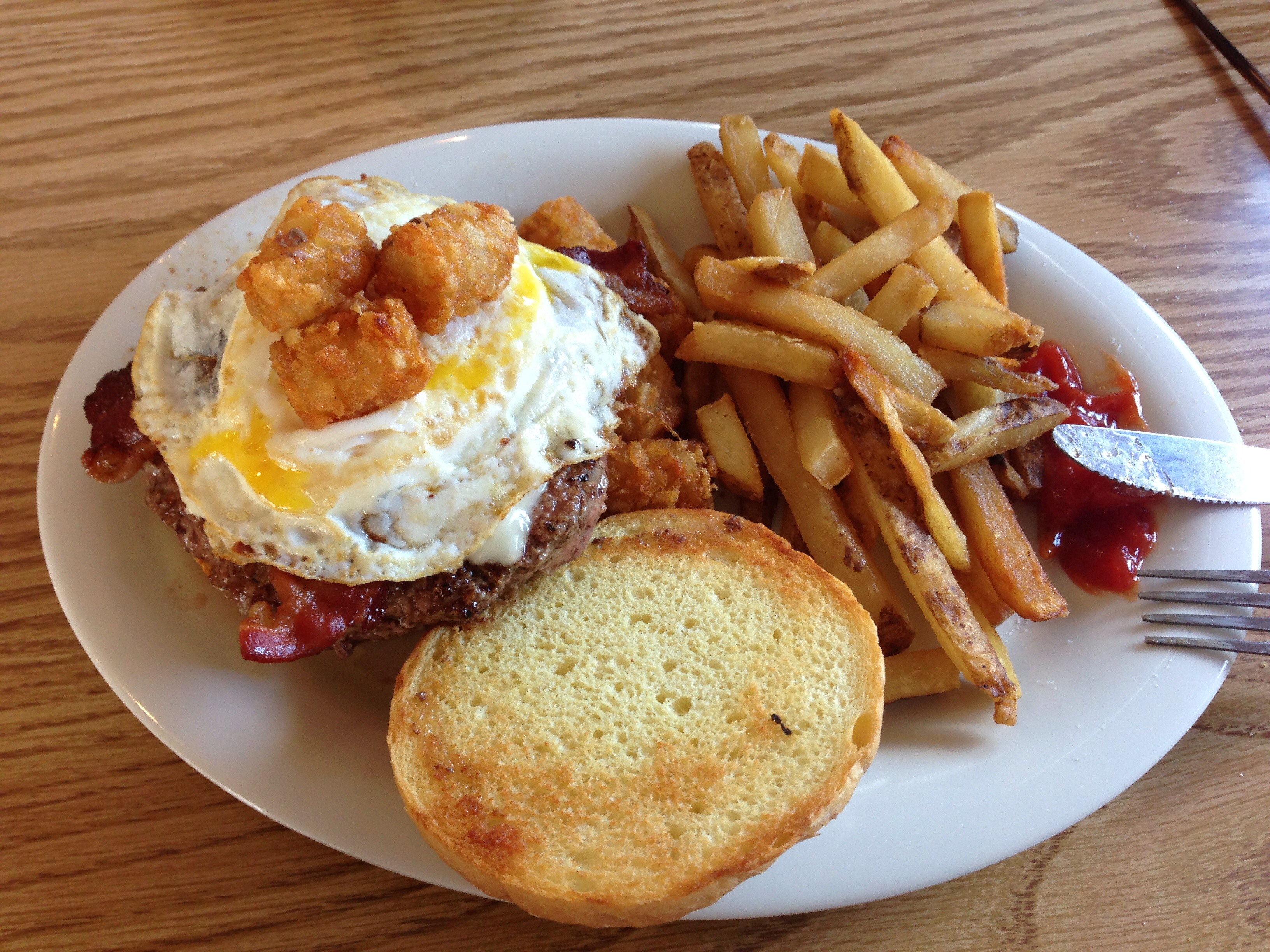
Burger at Harbor View Grille

2012-09-16-101349
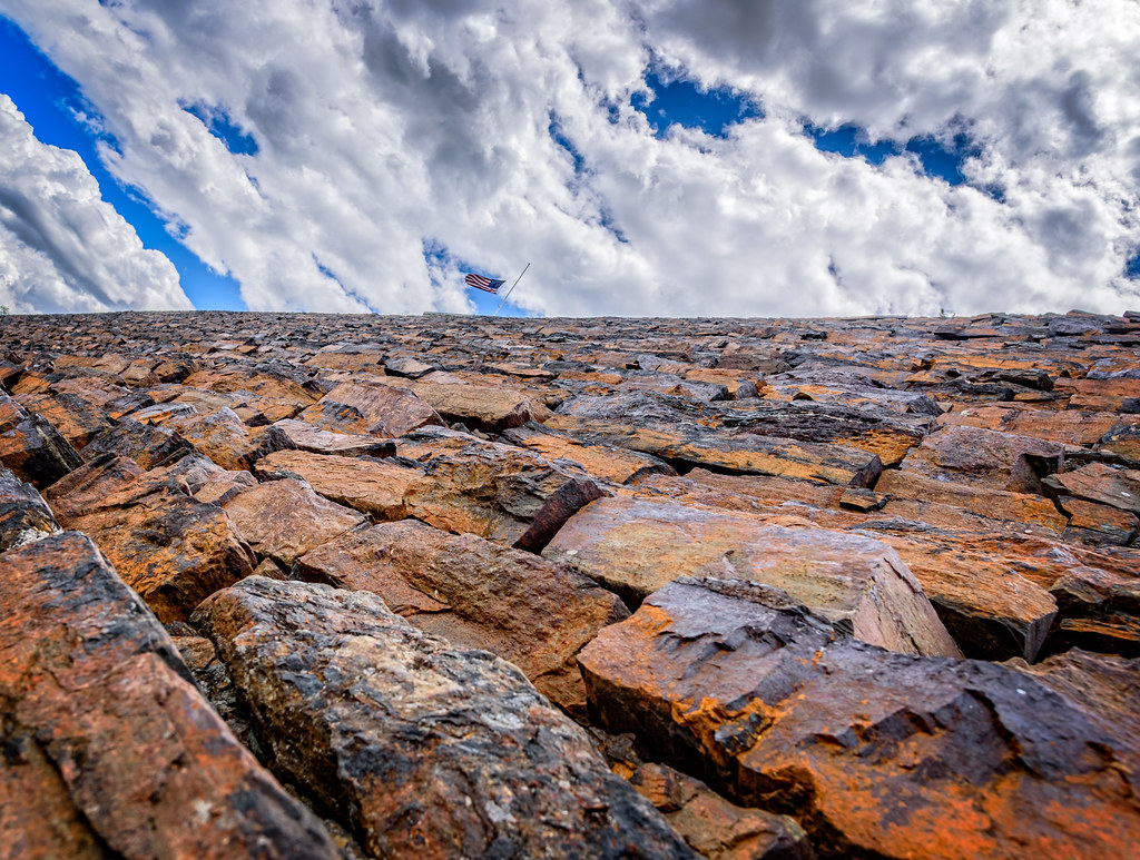
Rust Can Be Beautiful
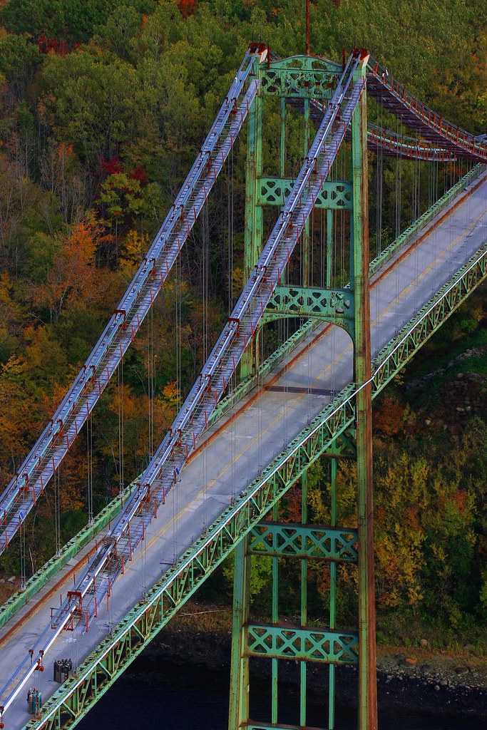
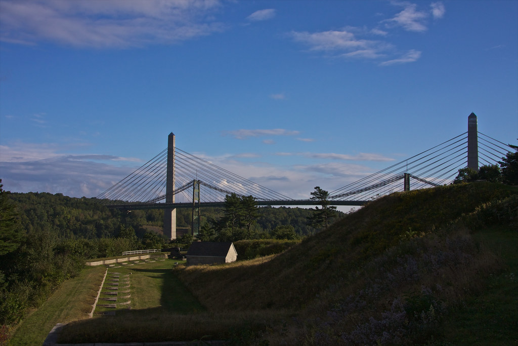
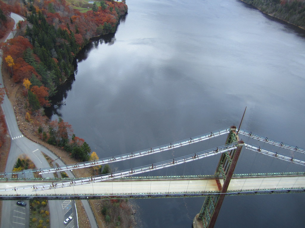
Penobscot Narrows Bridge and Observatory
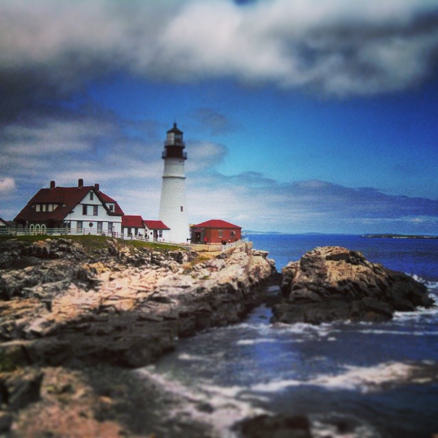
Penobscot Narrows Bridge and Observatory, Maine
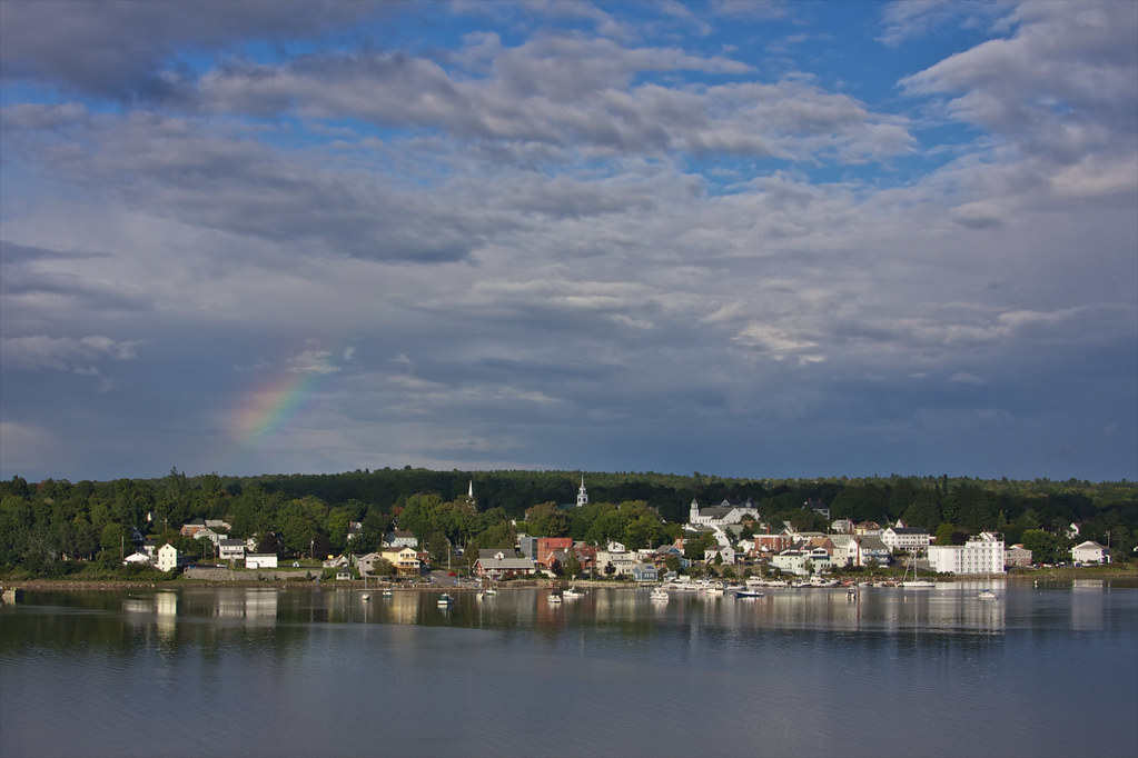
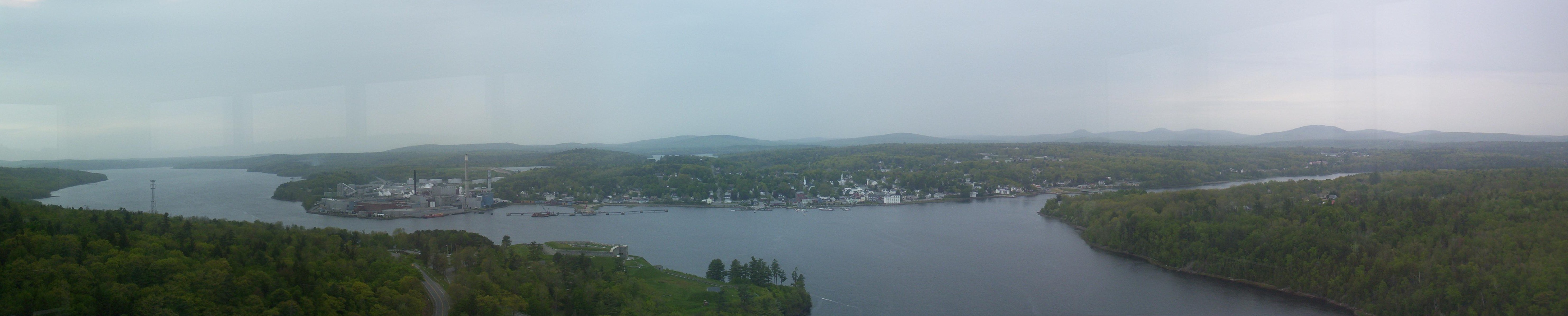
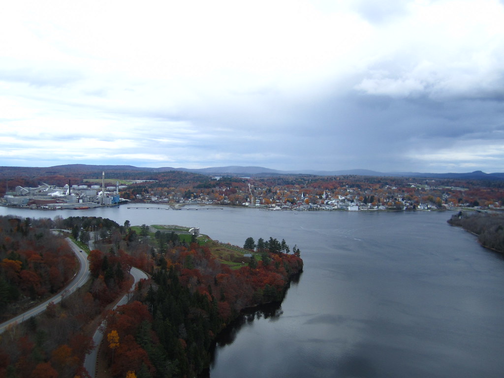
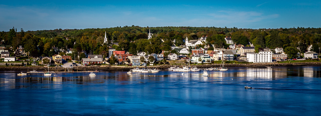
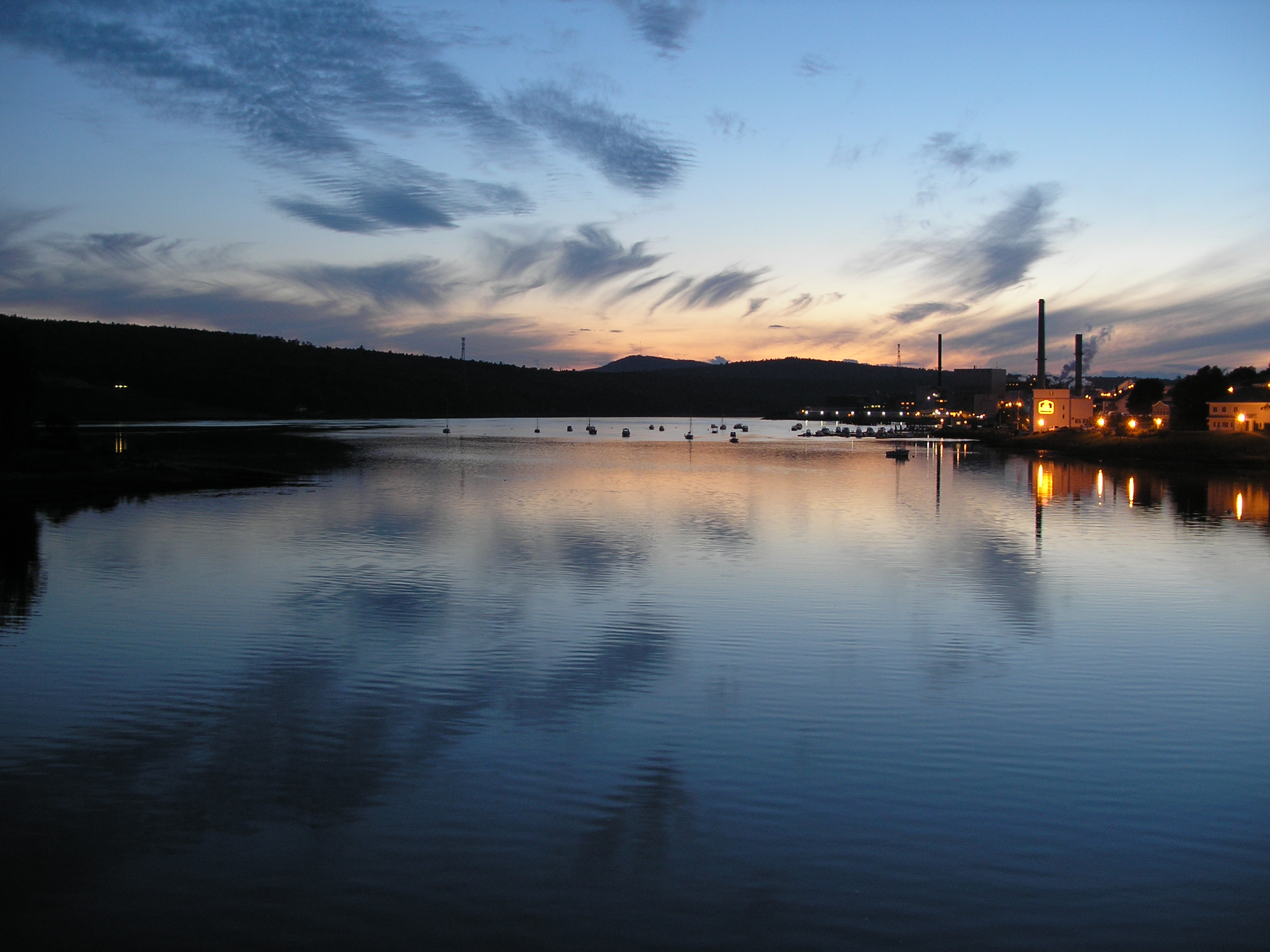
View of Bucksport
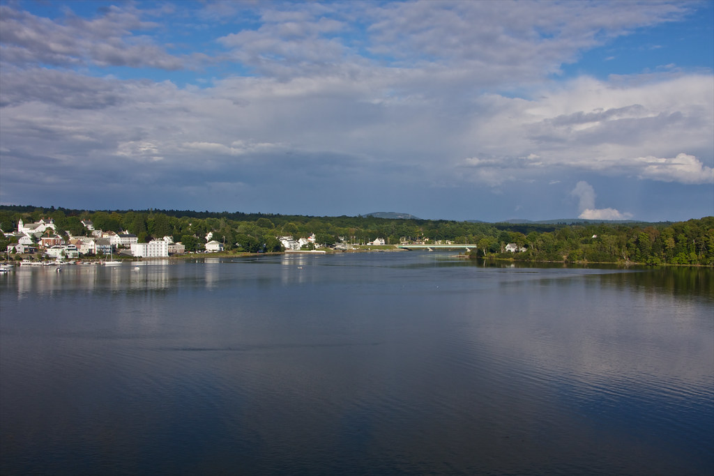
View of Bucksport
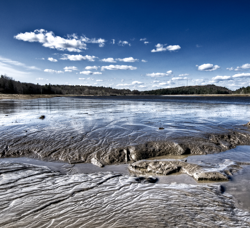
Mud to Sky
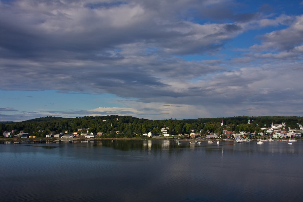
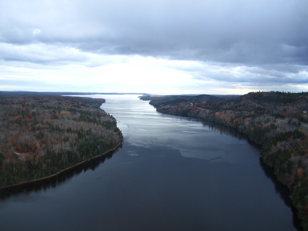
View of Bucksport
View from the Observatory
Observatory - 1
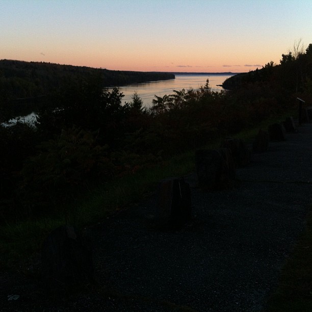
Same view - better sunset colors
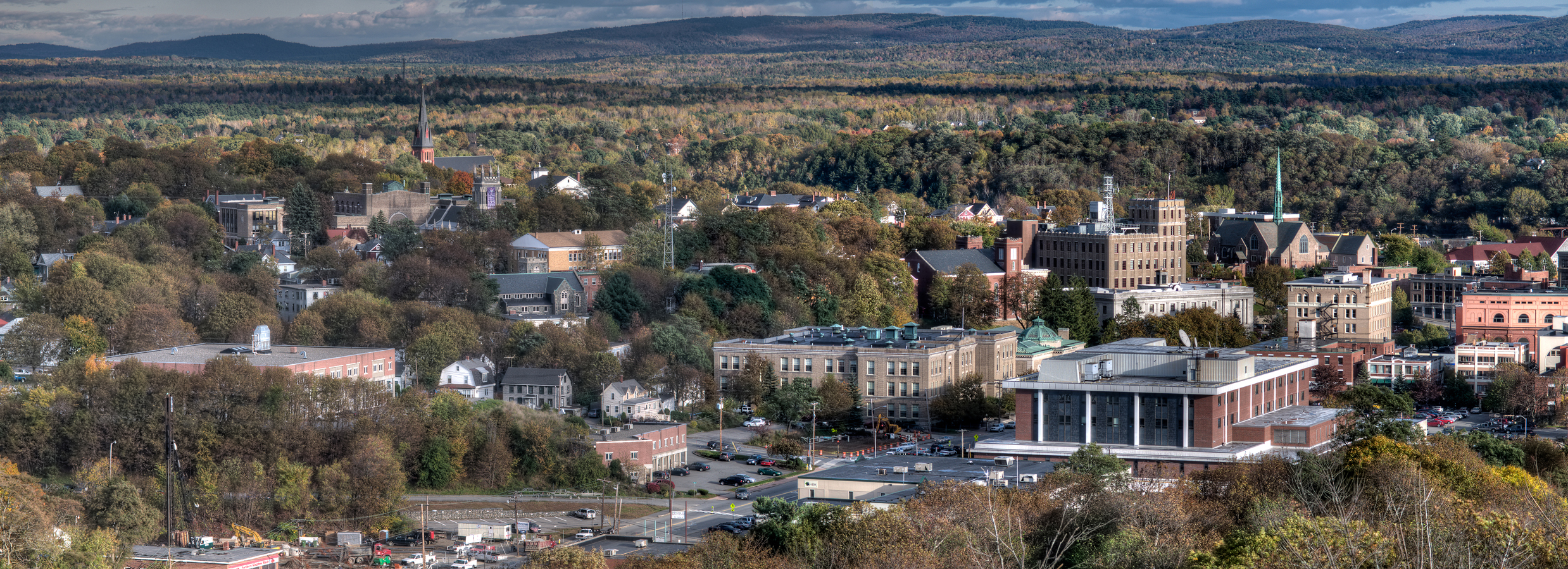
Bangor, Me.

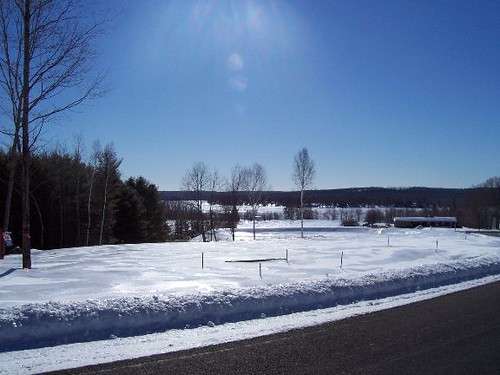
On Thomas Hill in March (wr)
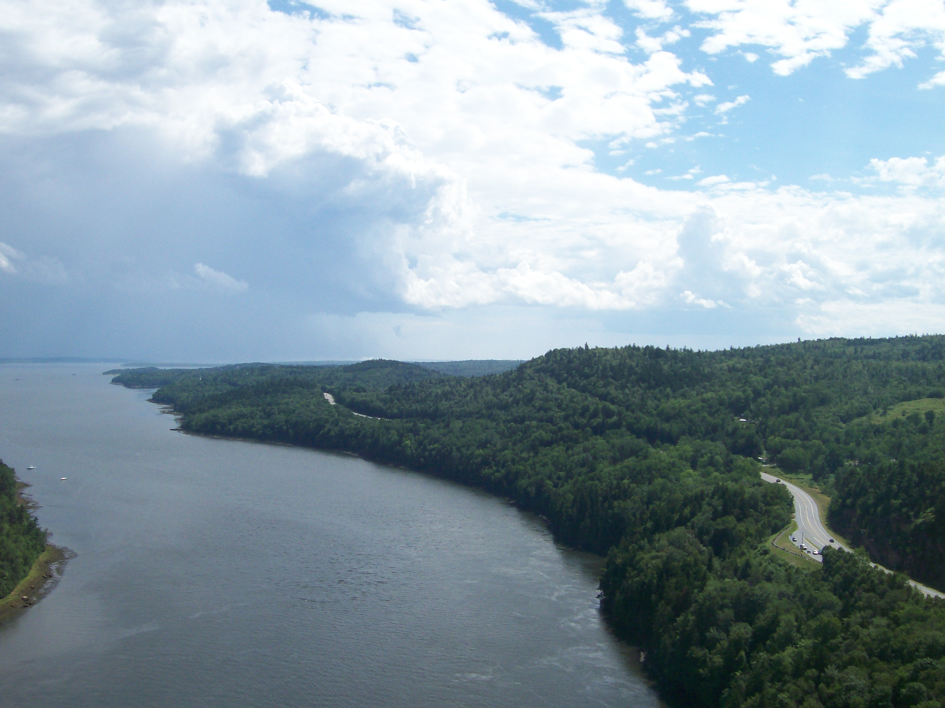
View from the Bucksport Bridge
SEC-PIX-20070225001
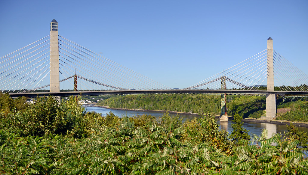
View of Penobscot Narrows Bridge and Observatory
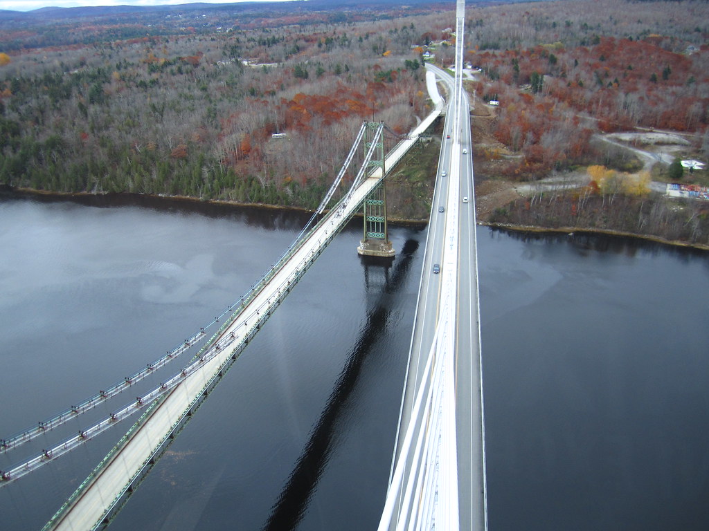
View from the Bucksport Bridge
View from the Bucksport Bridge
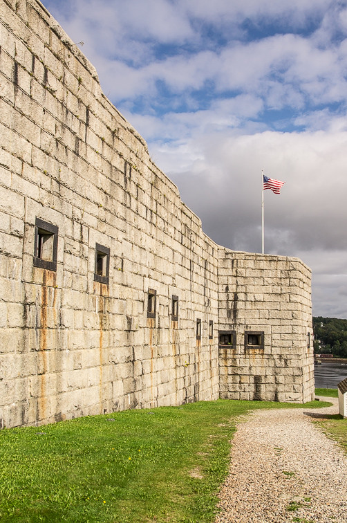
Ft.Knox Maine-7
View from the Bucksport Bridge
Rural Maine

First Snowfall
Sedgeunkedunk Stream
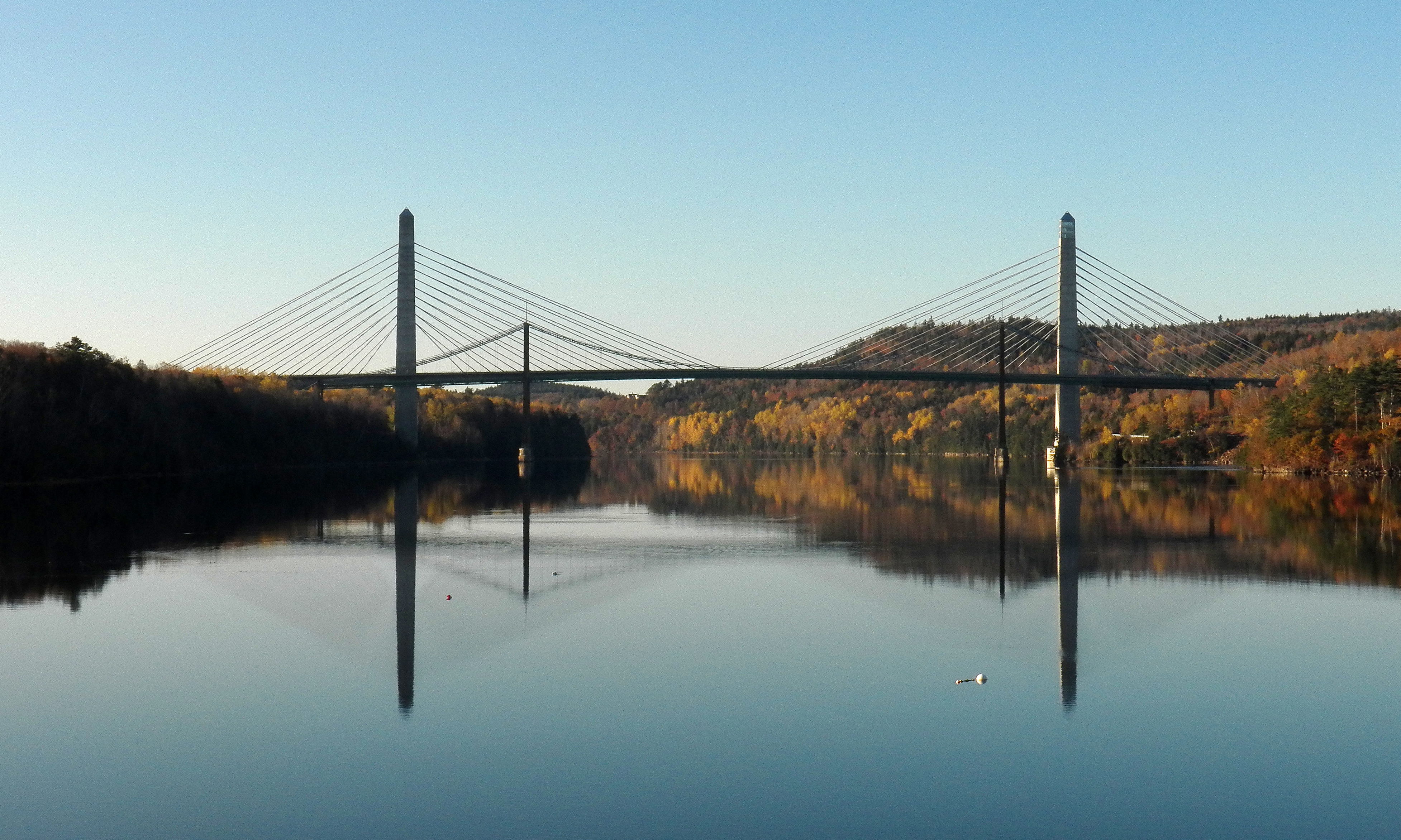
Penobscot Narrows bridge, Maine

Green Heron

View of Bucksport from the top
Fort Knox

Beautiful pobd
Rainy sunrise

Vortherms Maine Vacation-858

Green Heron
Hardened embankment below Fort Knox near Battery A
2006Jul Acadia part1 (28)
Our little escape...

Roadside Rock
Topographic Map of River Rd, Bucksport, ME, USA
Find elevation by address:

Places near River Rd, Bucksport, ME, USA:
34 Blake Rd, Orrington, ME, USA
Betts Road
1198 River Rd
Orrington
11 Ferry St
Main Rd S, Hampden, ME, USA
Center Dr, Orrington, ME, USA
Snows Corner Rd, Orrington, ME, USA
Hampden
Hampden
Back Winterport Rd, Hampden, ME, USA
Thurston Pond Road
410 Kennebec Rd
Main Rd N, Hampden, ME, USA
Winterport
95 Canterbury Rd
Hampden
26 Sunset Strip
16 Booth Dr, Bucksport, ME, USA
1412 Bucksmills Rd
Recent Searches:
- Elevation of Côte-des-Neiges, Montreal, QC H4A 3J6, Canada
- Elevation of Bobcat Dr, Helena, MT, USA
- Elevation of Zu den Ihlowbergen, Althüttendorf, Germany
- Elevation of Badaber, Peshawar, Khyber Pakhtunkhwa, Pakistan
- Elevation of SE Heron Loop, Lincoln City, OR, USA
- Elevation of Slanický ostrov, 01 Námestovo, Slovakia
- Elevation of Spaceport America, Co Rd A, Truth or Consequences, NM, USA
- Elevation of Warwick, RI, USA
- Elevation of Fern Rd, Whitmore, CA, USA
- Elevation of 62 Abbey St, Marshfield, MA, USA