Elevation of 34 Blake Rd, Orrington, ME, USA
Location: United States > Maine > Penobscot County > Orrington >
Longitude: -68.8173
Latitude: 44.6934349
Elevation: 18m / 59feet
Barometric Pressure: 101KPa
Elevation Map:
Satellite Map:
Related Photos:

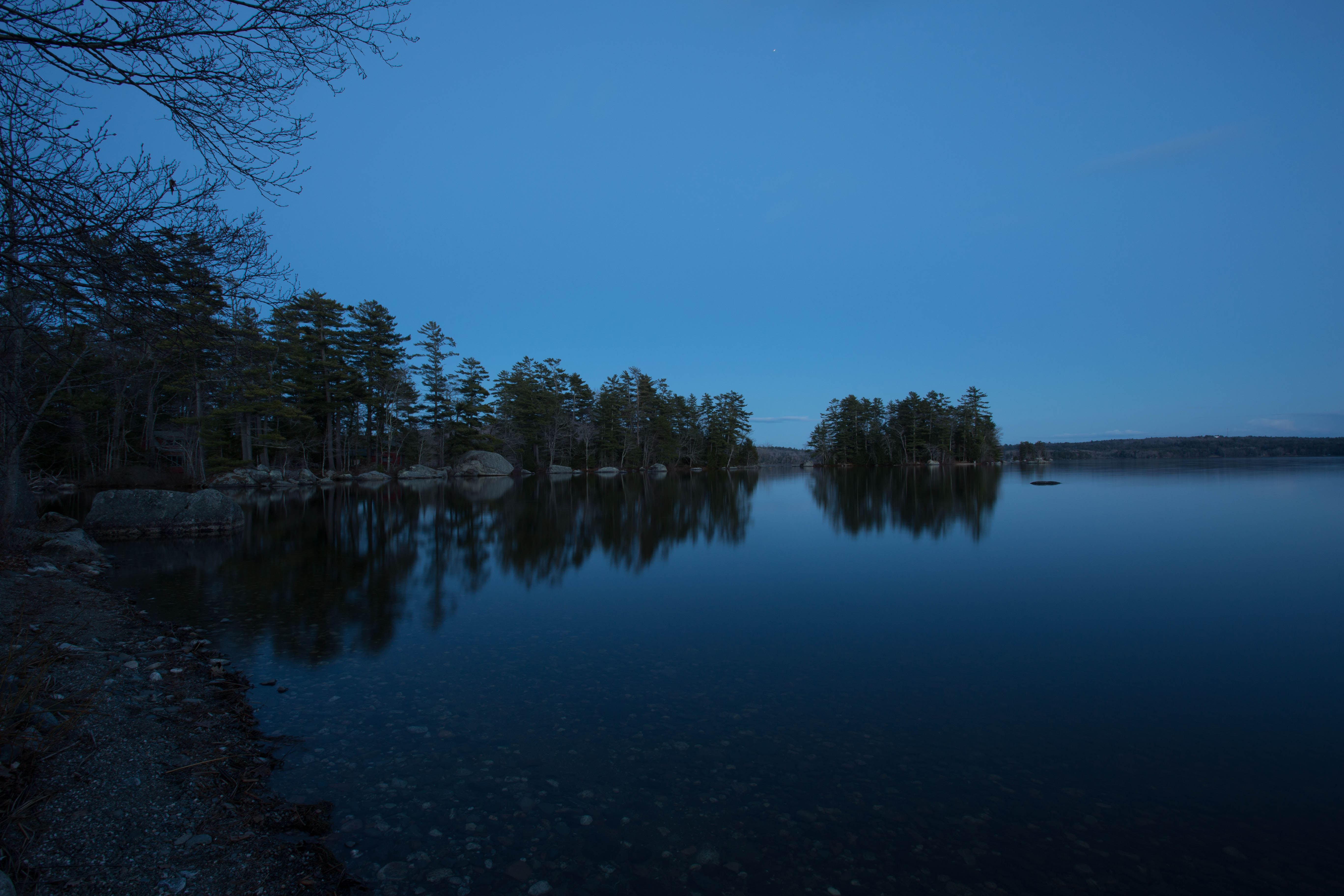
2012-10-03-101585
Sunny Day Drive
Rust Can Be Beautiful
Awesome view while crossing the bridge!! Love the #architecture with @karry_smith

Stargazing - Little Planet
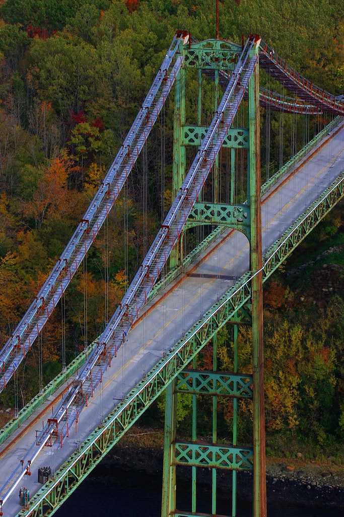
Ft.Knox Maine-7

2012-09-16-101349
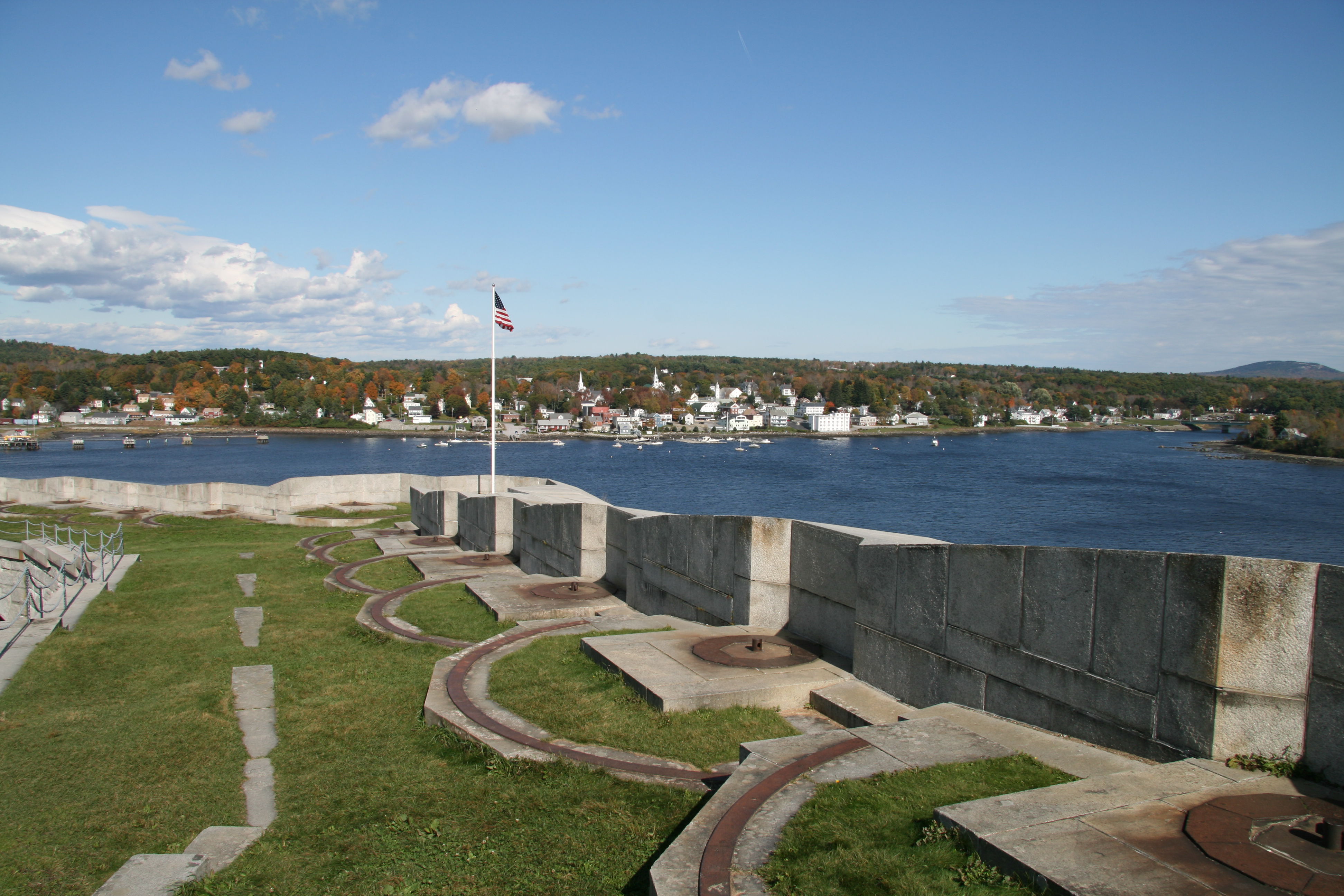
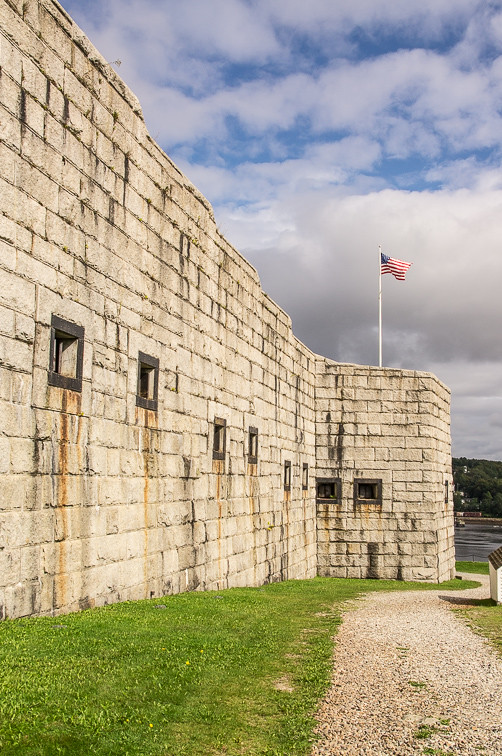
Fort Knox
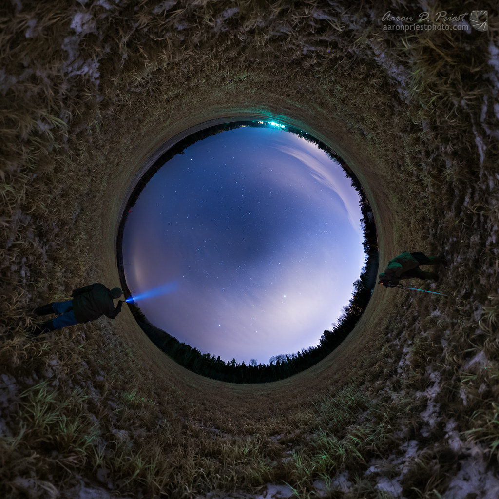
Stargazing - Full Sky

2012-09-16-101392

2012-10-03-102236

Penobscot Observatory
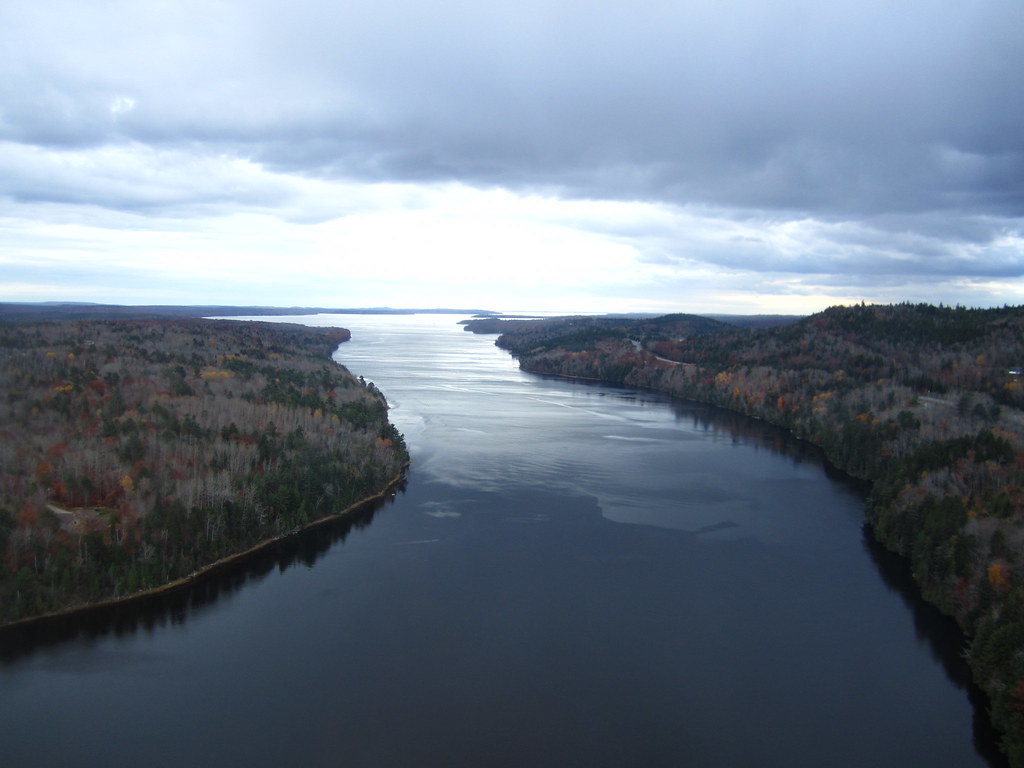
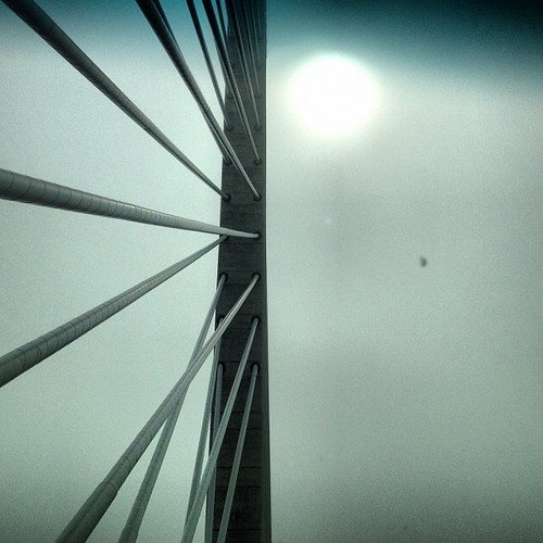
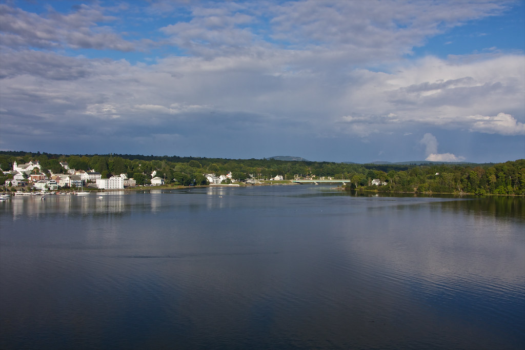
View from the Bucksport Bridge

Room with a View

Lupines during the "golden hour"
View from the Bucksport Bridge
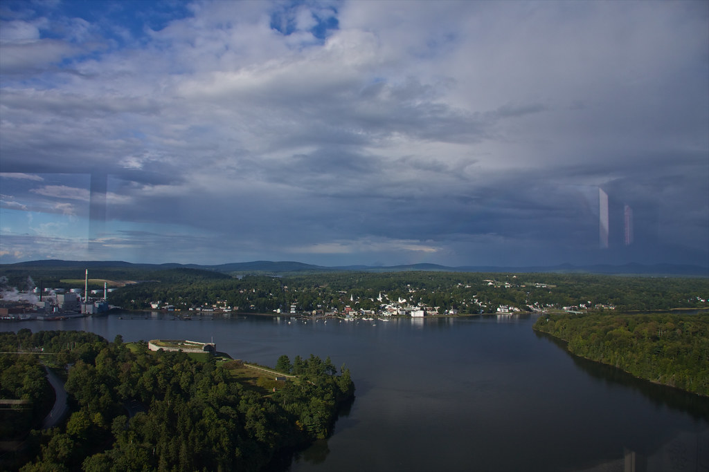
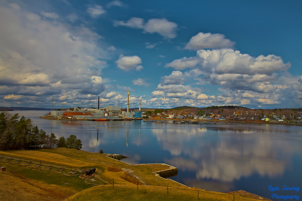
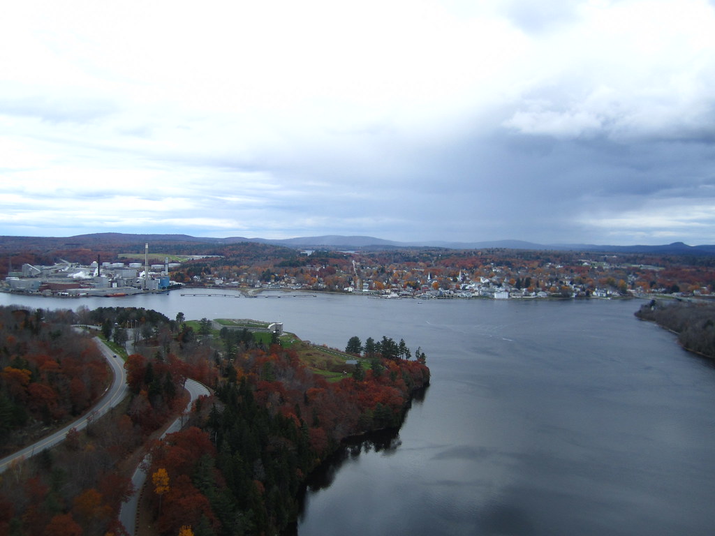
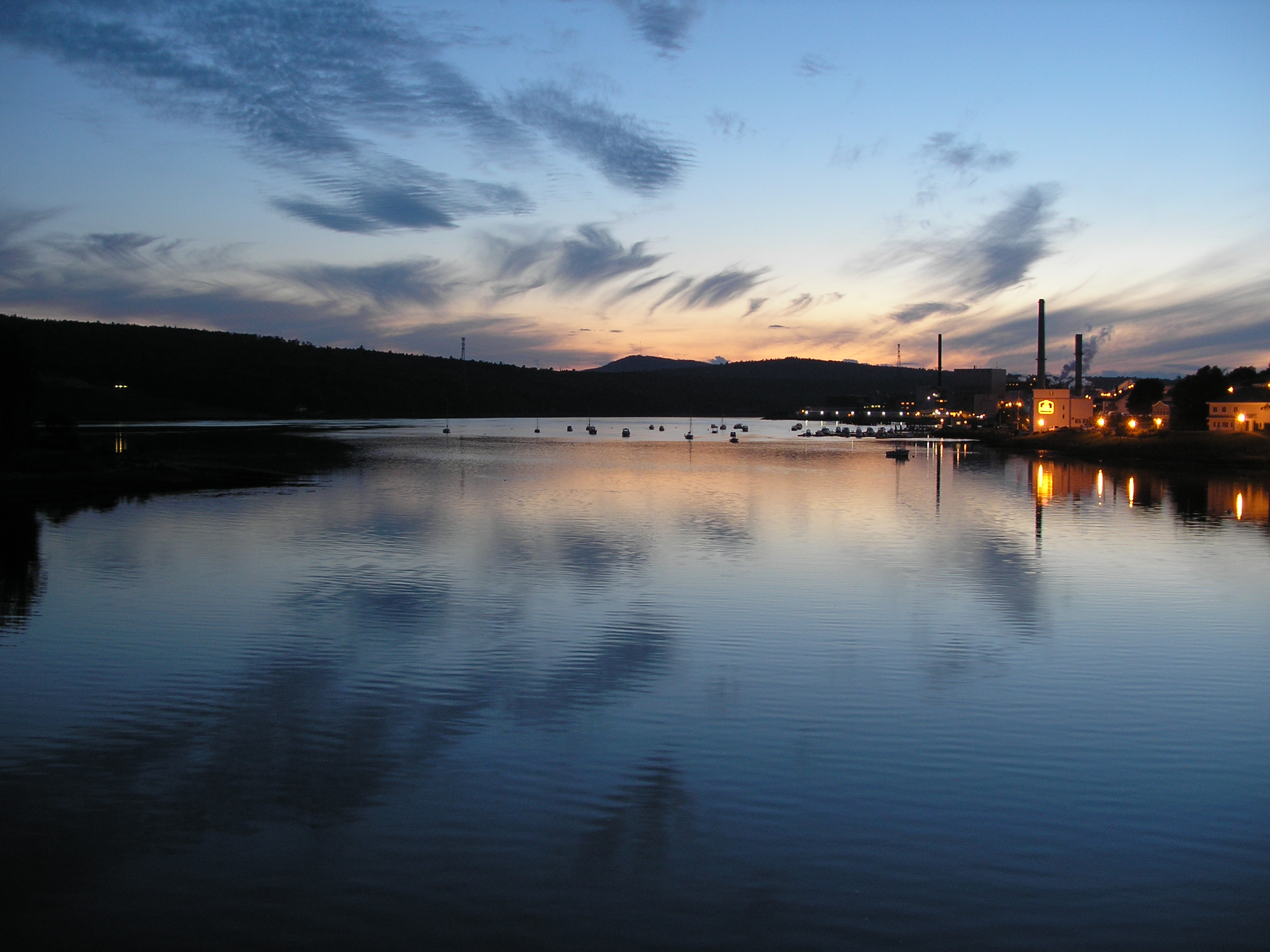
View of Bucksport

Mud to Sky
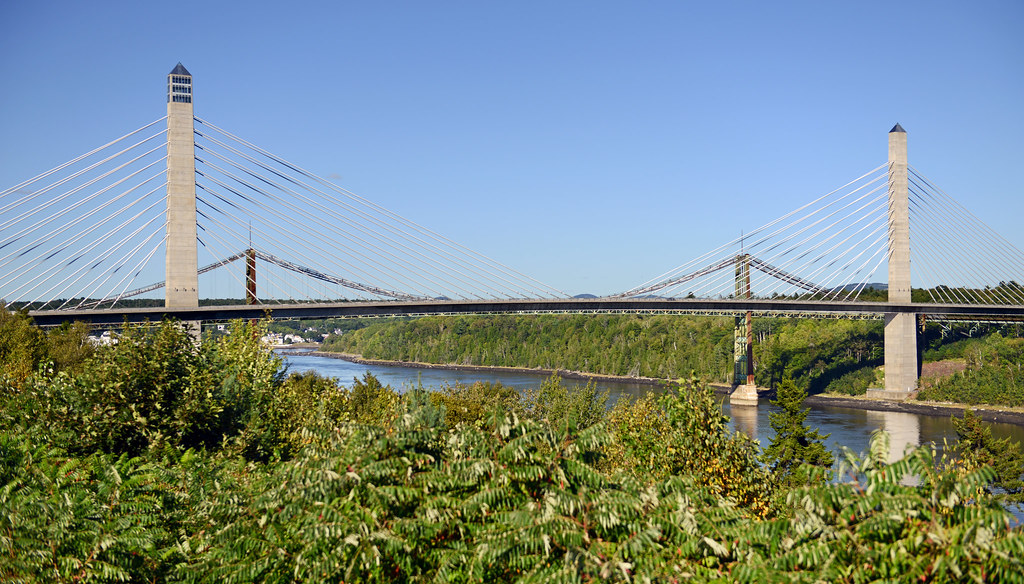
Penobscot Narrows Bridge and Observatory, Maine

Sedgeunkedunk Stream
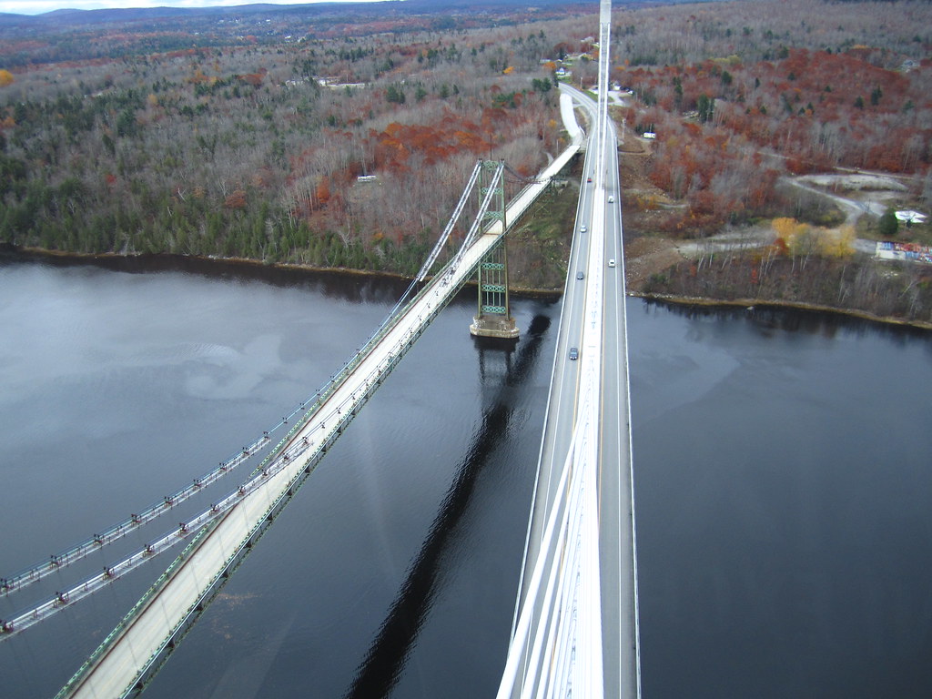
View from the Bucksport Bridge
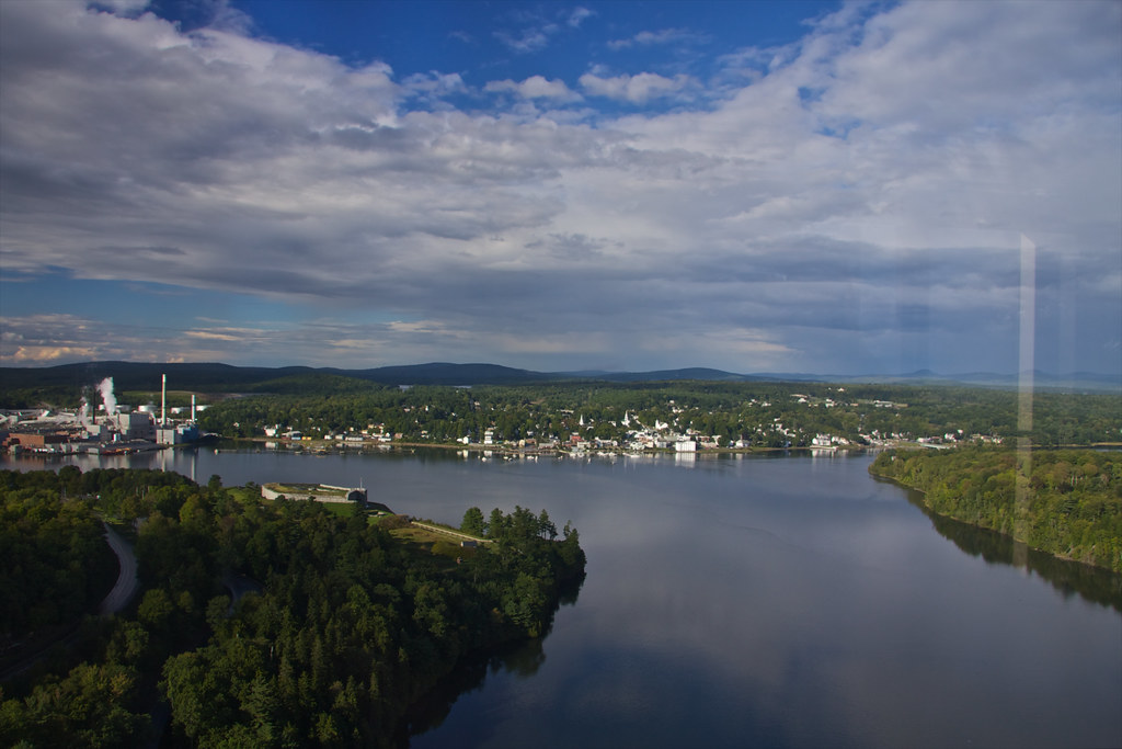
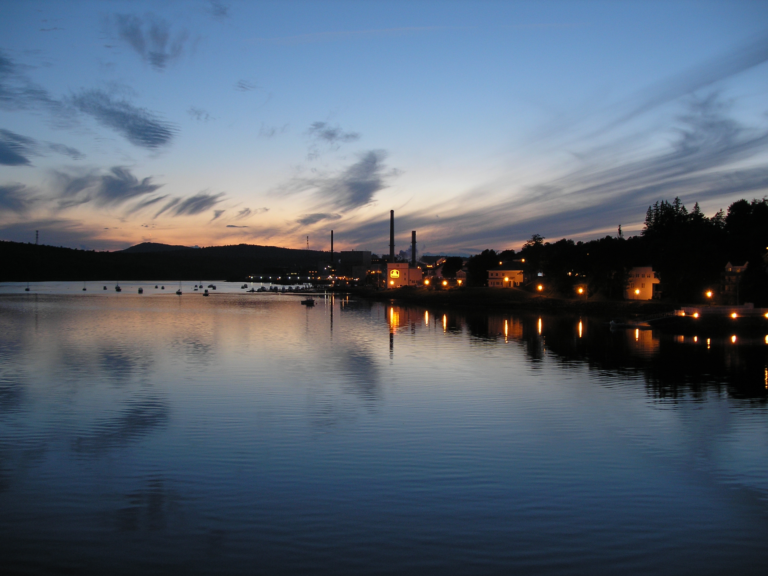
View of Bucksport
_MG_3210.jpg
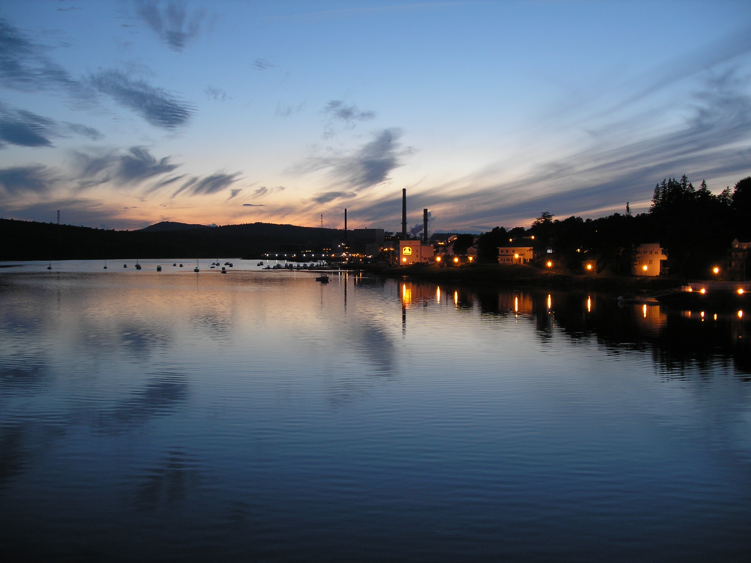
View of Bucksport
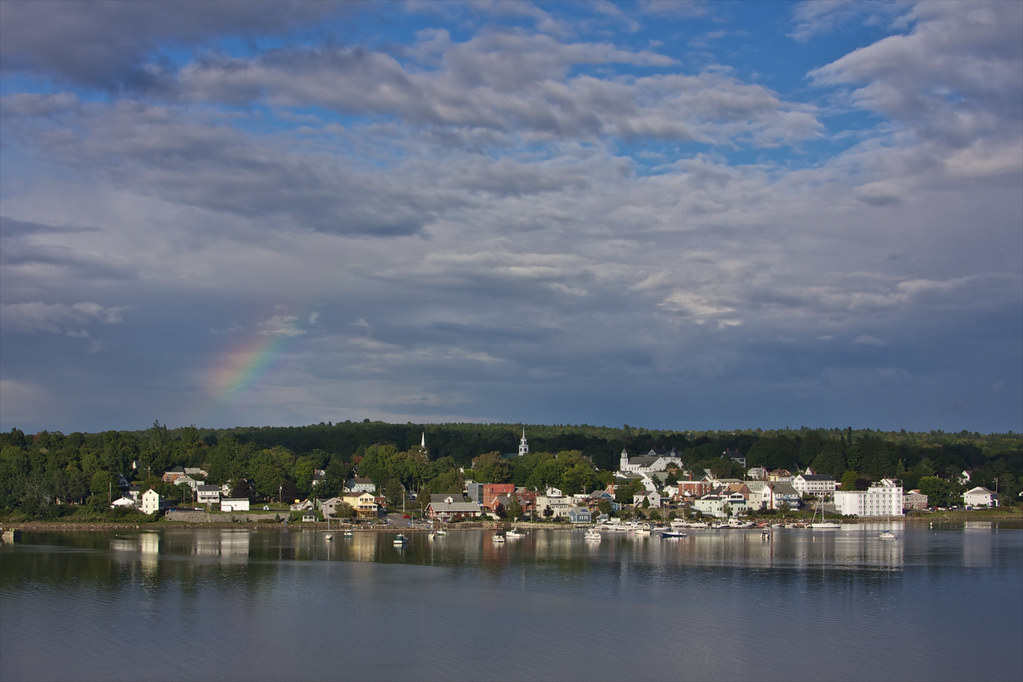
View of Bucksport
View from the Bucksport Bridge

Orrington Maine Audubon
2006Jul Acadia part1 (28)
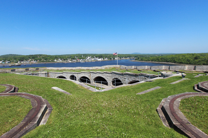
Fort Knox

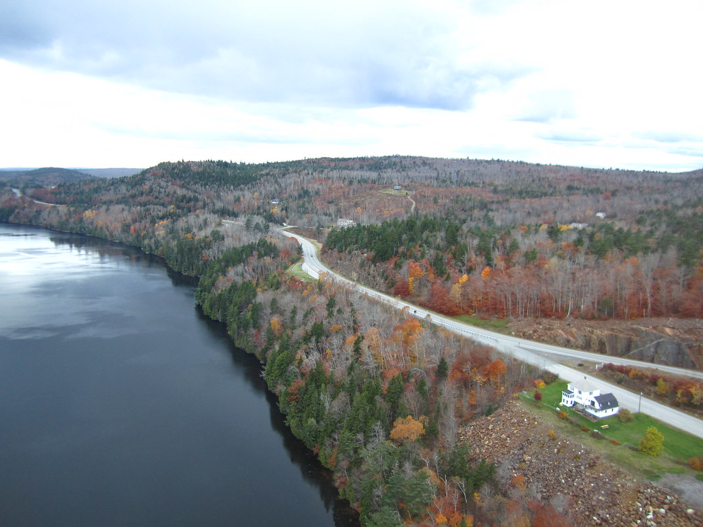
Rural Maine
2006Jul Acadia part1 (26)

Beautiful pobd

Our little escape...
2006Jul Acadia part1 (27)

Roadside Rock

Rainy sunrise
Topographic Map of 34 Blake Rd, Orrington, ME, USA
Find elevation by address:

Places near 34 Blake Rd, Orrington, ME, USA:
1759 River Rd
Orrington
Betts Road
1198 River Rd
11 Ferry St
Main Rd S, Hampden, ME, USA
Hampden
Hampden
Back Winterport Rd, Hampden, ME, USA
Snows Corner Rd, Orrington, ME, USA
Center Dr, Orrington, ME, USA
410 Kennebec Rd
Main Rd N, Hampden, ME, USA
Winterport
Hampden
Thurston Pond Road
95 Canterbury Rd
26 Sunset Strip
47 Fairways
ME-, Hermon, ME, USA
Recent Searches:
- Elevation of Slanický ostrov, 01 Námestovo, Slovakia
- Elevation of Spaceport America, Co Rd A, Truth or Consequences, NM, USA
- Elevation of Warwick, RI, USA
- Elevation of Fern Rd, Whitmore, CA, USA
- Elevation of 62 Abbey St, Marshfield, MA, USA
- Elevation of Fernwood, Bradenton, FL, USA
- Elevation of Felindre, Swansea SA5 7LU, UK
- Elevation of Leyte Industrial Development Estate, Isabel, Leyte, Philippines
- Elevation of W Granada St, Tampa, FL, USA
- Elevation of Pykes Down, Ivybridge PL21 0BY, UK