Elevation of Betts Road, Betts Rd, Bucksport, ME, USA

Location: United States > Maine > Penobscot County > Orrington >

Longitude: -68.777860

Latitude: 44.6871471

Elevation: -10000m / -32808feet

Barometric Pressure: 295KPa

Elevation Map:

elevation map of Betts Road, Betts Rd, Bucksport, ME, USA

Satellite Map:

Satellite map of Betts Road, Betts Rd, Bucksport, ME, USA

Related Photos:

Mud to Sky
tv cd crossdress margaretcook
On Thomas Hill in March (wr)
building water architecture forest bay cityscape unitedstates fort maine views forests bucksport fortknoxstatepark
Fort Knox
water forest bay boat cityscape unitedstates maine views vehicle forests bucksport fortknoxstatepark
Churches of Bucksport
sunset panorama purple bangor penobscotriver bangorwaterworks
2012-09-16-101349
maine foliage penobscotriver waldohancockbridge
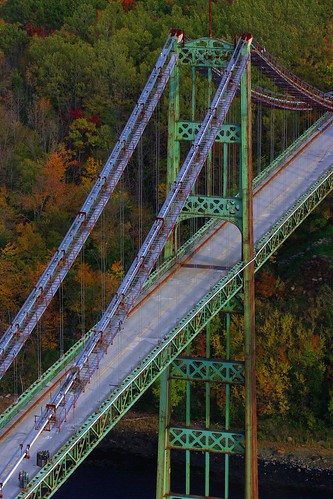
Rust Can Be Beautiful
park bridge sky usa reflection fall water america river state maine reflect waldo narrows penobscot narrowsbridge penobscotriver waldocounty penobscotbridge penobscotnarrowsbridge penobscotriverbridge
Penobscot Narrows Bridge and Observatory
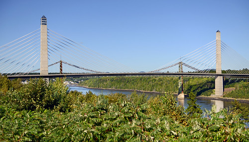
bridge coastguard architecture strand nationalpark maine shoreline newengland september pylon nitrogen atlanticocean fortknox corrosion acadia route1 barharbor 2012 mountdesertisland observationtower thewaylifeshouldbe acadianationalpark penobscotbay uscoastguard 2470mm penobscotriver bridgedeck cablestayedbridge bucksportmaine fortknoxmaine steeltube anchorages penobscotnarrowsbridge penobscotnarrowsbridgeandobservatory yenumula penobscotnarrowsobservatory prospectmaine worldofarun nikond800 prospectferry veronamaine cradlesystem fortknoxstatehistoricsite arunyenumula epoxycoatedsteel historicroute1 waldo–hancockbridge tallestpublicbridgeobservatory cablestaysystem pressurizednitrogengas
Penobscot Narrows Bridge and Observatory, Maine
uploaded:by=flickrmobile flickriosapp:filter=nofilter
Burger at Harbor View Grille
usa america river site state fort united maine historic knox states prospect penobscot bucksport
View of Bucksport
usa america river site rainbow state fort united maine historic knox states prospect penobscot bucksport
View of Bucksport
usa america river site state fort united maine historic knox states prospect penobscot bucksport
View of Bucksport
square squareformat iphoneography instagramapp uploaded:by=instagram foursquare:venue=4c34962a3896e21e69c1eb90
Same view - better sunset colors
autostitch panorama penobscotnarrowsbridge bucksportme
View from the Observatory
panorama maine
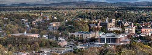
Bangor, Me.
penobscotnarrowsbridgeandobservatory
Observatory - 1
maine
View from the Bucksport Bridge
bridge usa america river site view state fort united maine historic observatory knox states prospect narrows penobscot
View of Penobscot Narrows Bridge and Observatory
maine
View from the Bucksport Bridge
architecture maine civilwar ftknox mffotosoldsaybrook
Ft.Knox Maine-7
maine
View from the Bucksport Bridge
june river fort maine knox prospect penobscot 2013
Fort Knox
canon unitedstates maine prospect 6d penobscotriver canonef24105mmf4lisusm canon6d photomakak
Rural Maine
First Snowfall
Lucerne, Maine
Sedgeunkedunk Stream
trees sky lake fall nature water clouds canon pond flora day cloudy maine fallfoliage paulsimon iphone orland canoneosrebel canonrebelxs craigspond iphone4s orlandme
Some people say the sky is just the sky, but I say...
Green Heron
Beautiful pobd
sunset sky sun tree colors clouds colorful skies maine powerline
IMG_0262(edit2)
Rainy sunrise
unitedstates maine prospect
Vortherms Maine Vacation-858
hdr prospect lrhdr manipulations fortknox lightroomhdr highdynamicrange historicalsite usa maine locationrecorded waldocounty usflag tilt stone wall angled infinity perspective
Hardened embankment below Fort Knox near Battery A
sunset sky clouds maine lucerne nikond40
Lucerne Sunset
2006Jul Acadia part1 (28)