Elevation of Ridgetop Rd, Dufur, OR, USA
Location: United States > Oregon > Wasco County > Dufur >
Longitude: -121.26753
Latitude: 45.4078028
Elevation: 697m / 2287feet
Barometric Pressure: 93KPa
Elevation Map:
Satellite Map:
Related Photos:

Farm Truck Beauty
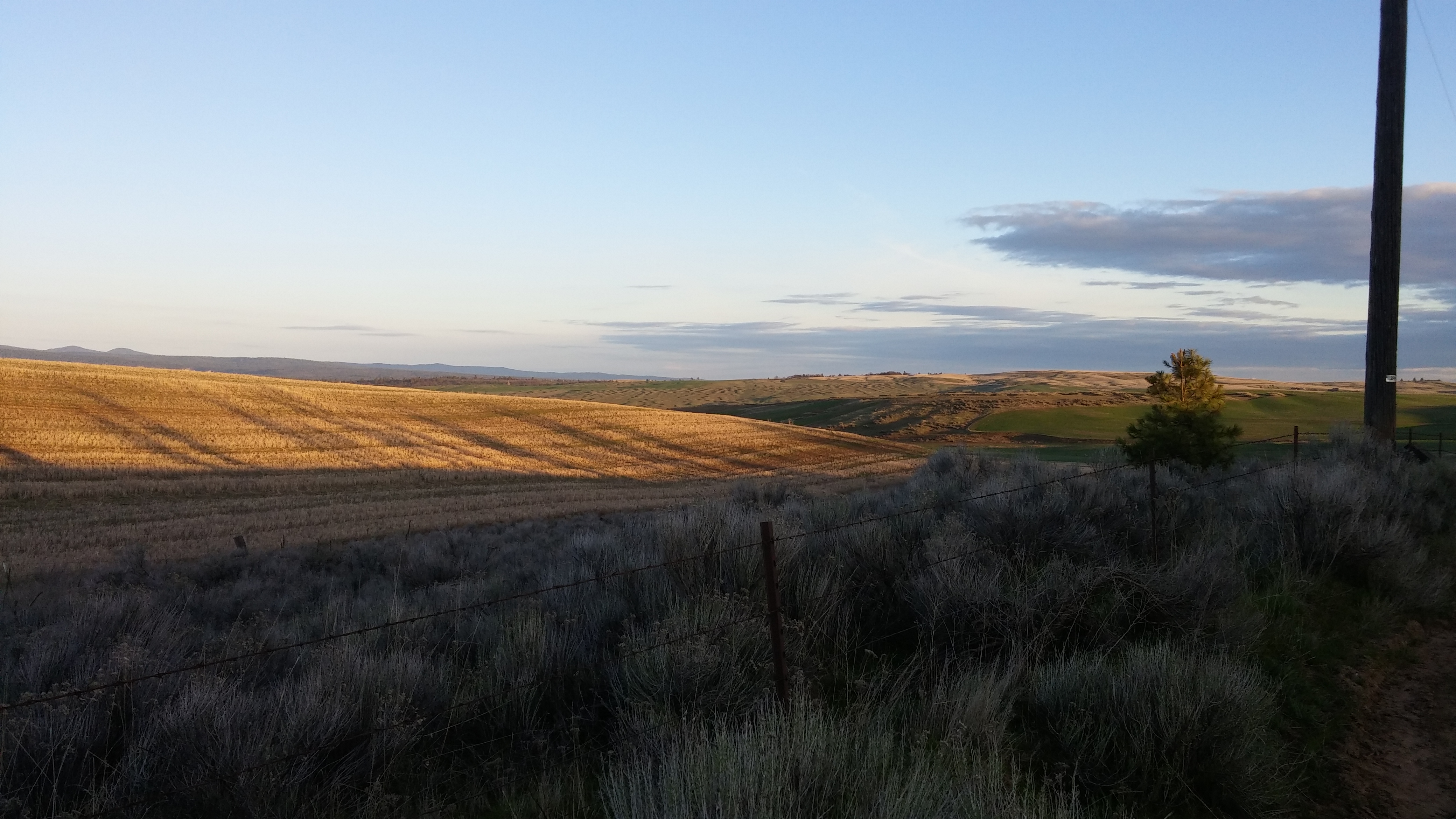
Sunday morning view

Rusty Truck # 2
The Balch Hotel comes with a pretty nice view of Mount Hood!
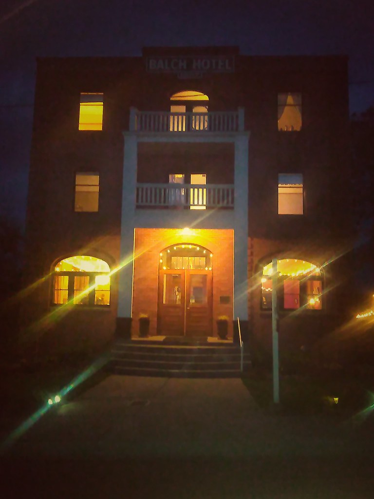
A quick spring getaway with @ejpevents to The Dry Side of Oregon. Destination: Balch Hotel in Dufur, 15 miles south of The Dalles. And a great view of Mount Hood!
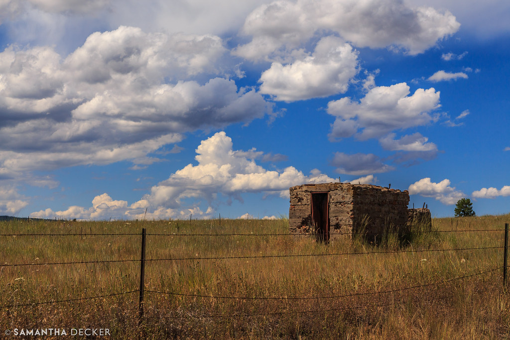
webb-harvey cemetery
This Is Not a Schoolhouse
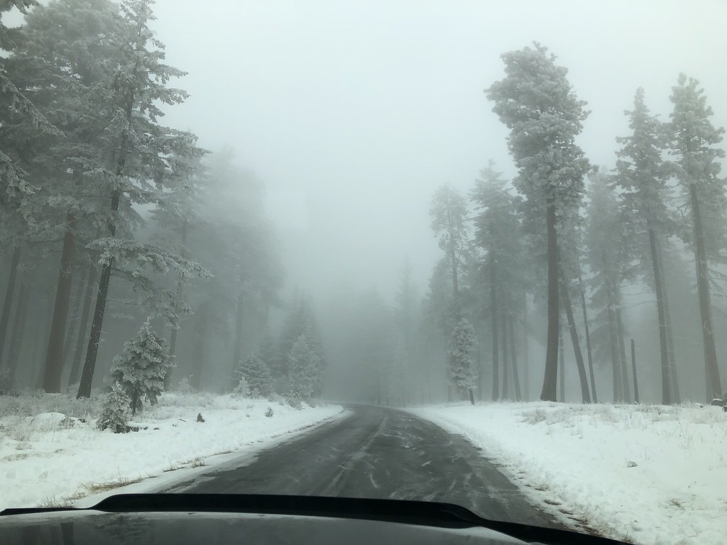
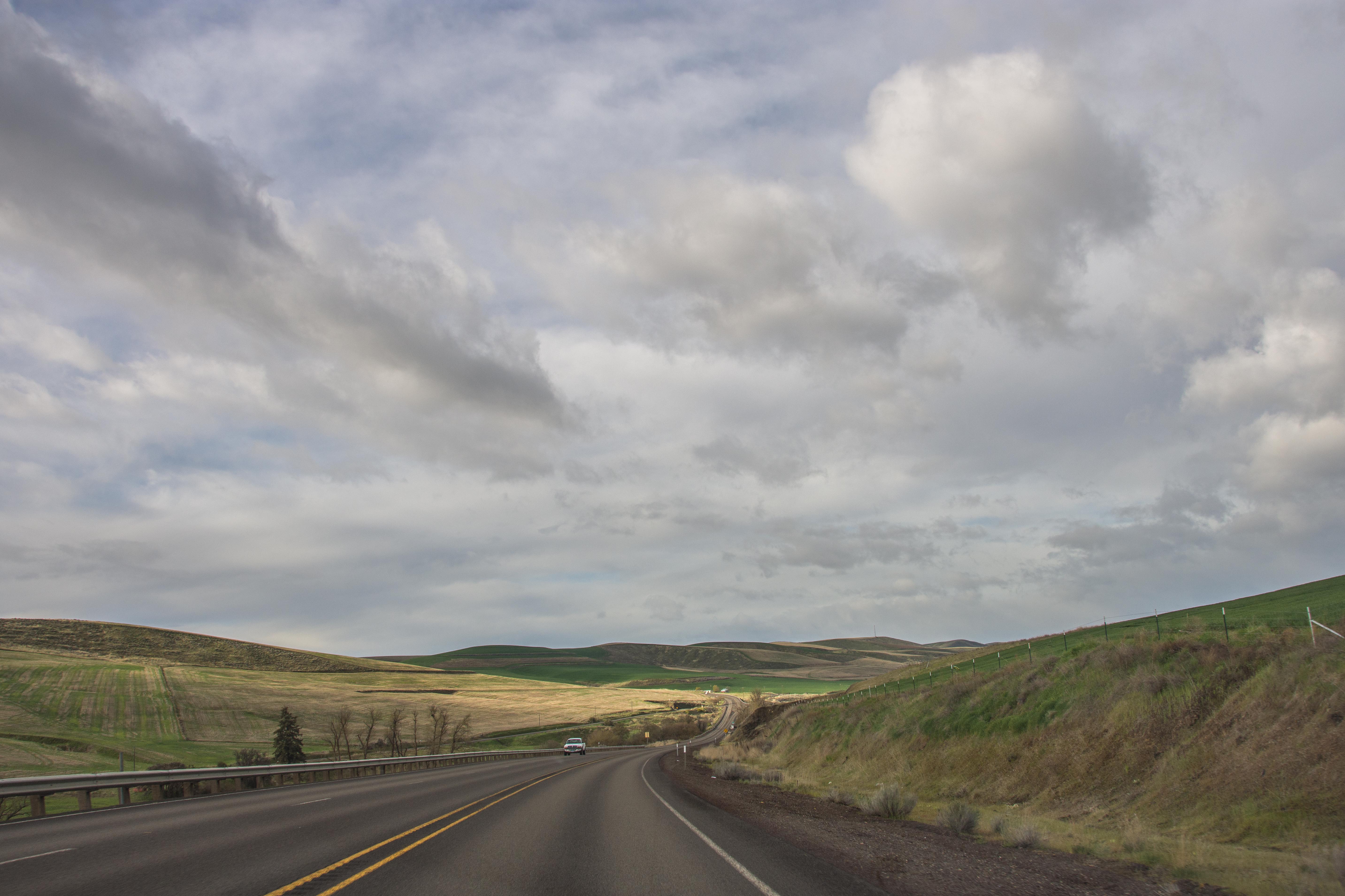
Road 44

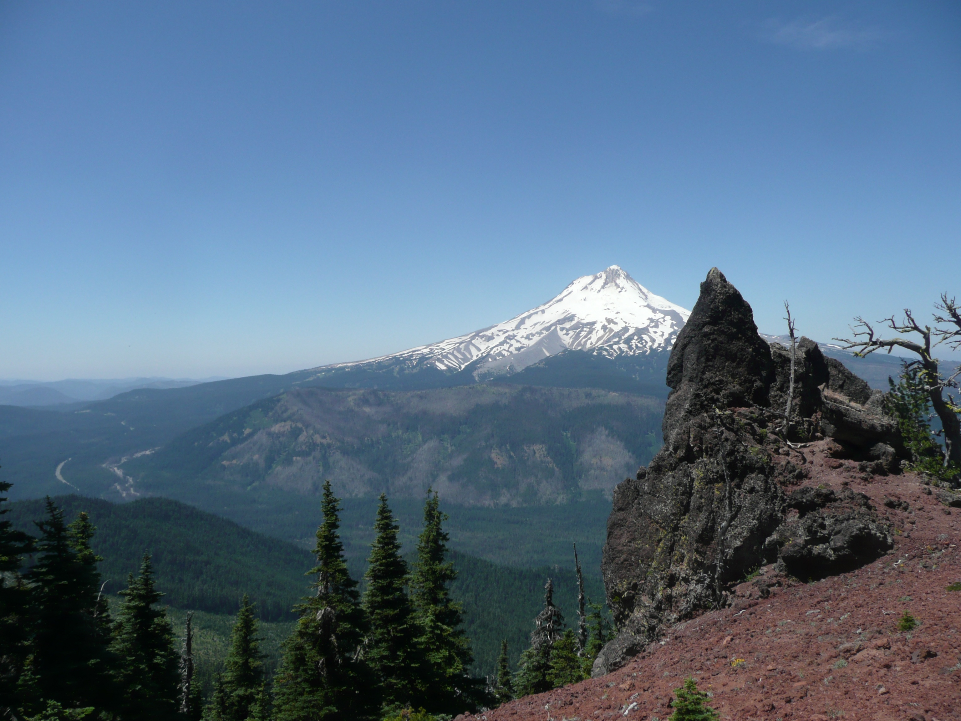
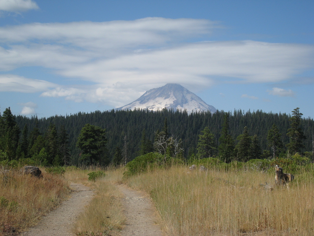
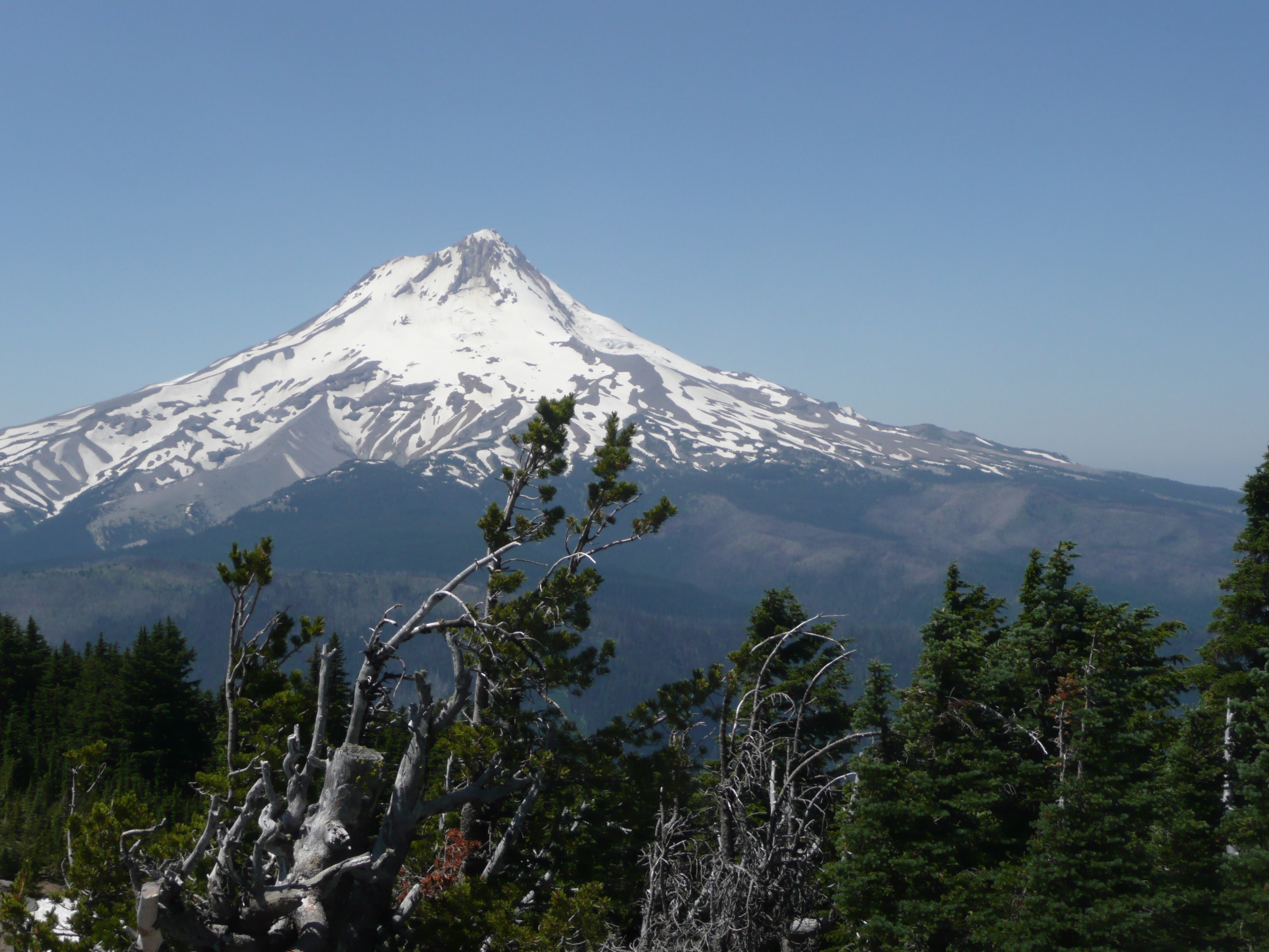
Mt. Hood

Flying over PDX ❤️
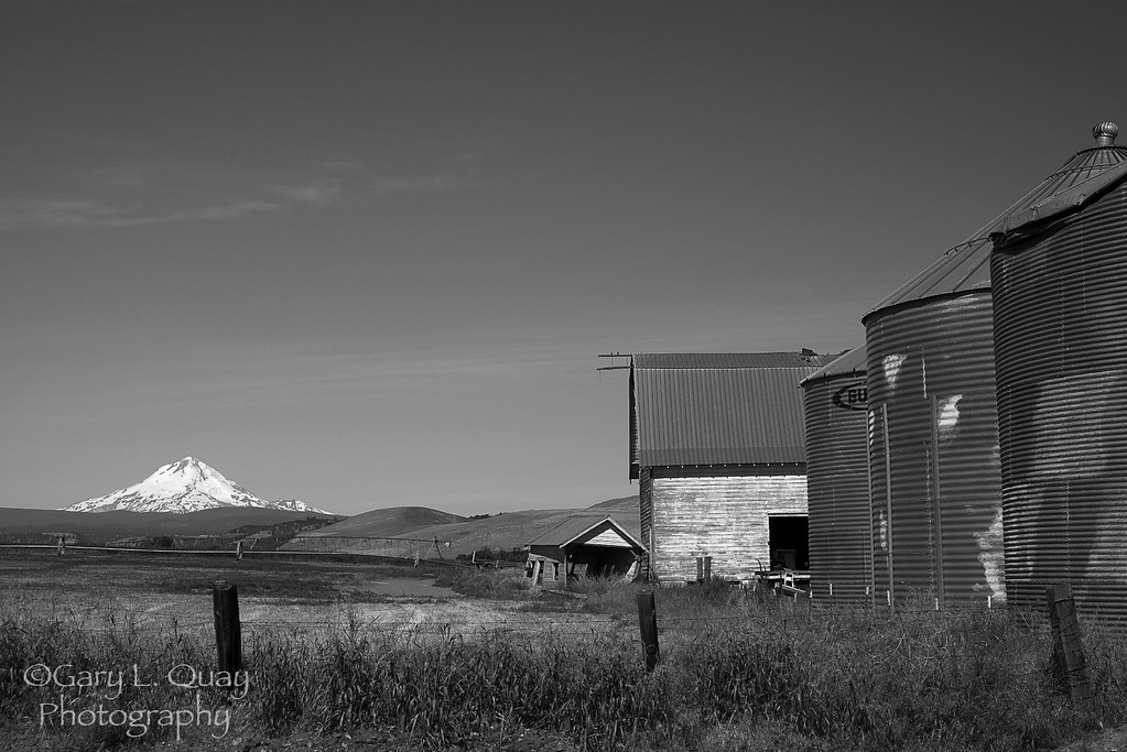
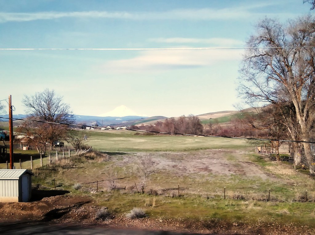
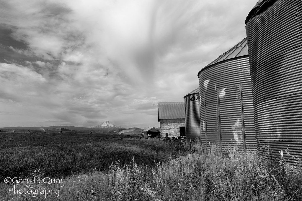
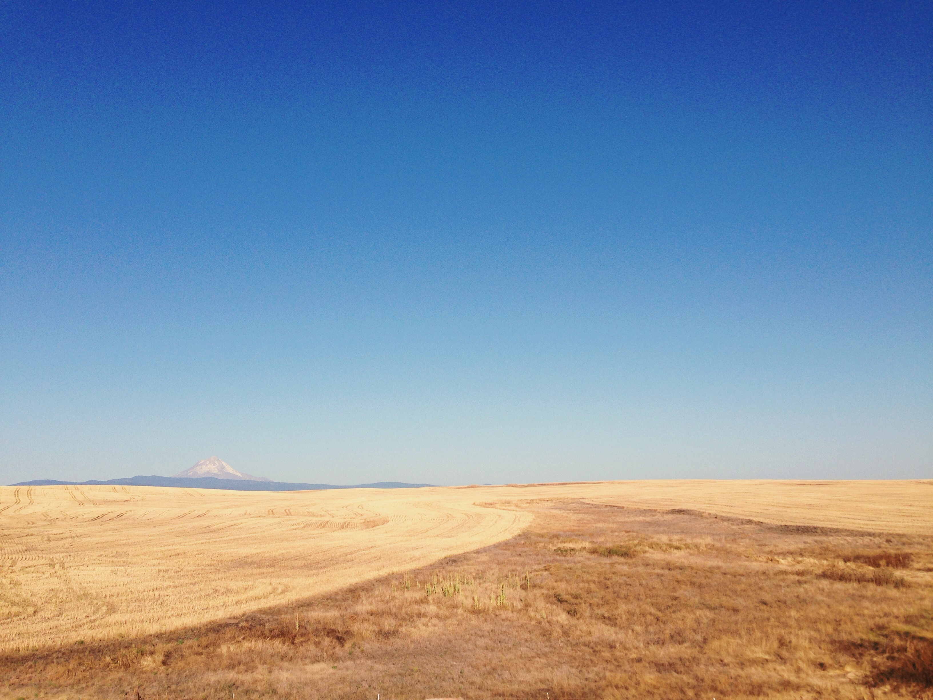
Mount Hood and Farm, Dufur, Oregon

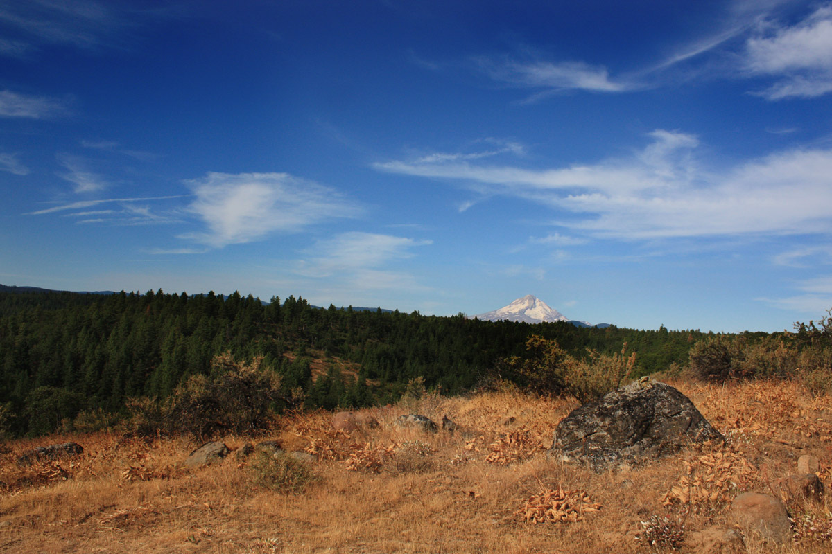
Mount Hood
Mount Hood from Dufur
The east side of Mt. Hood
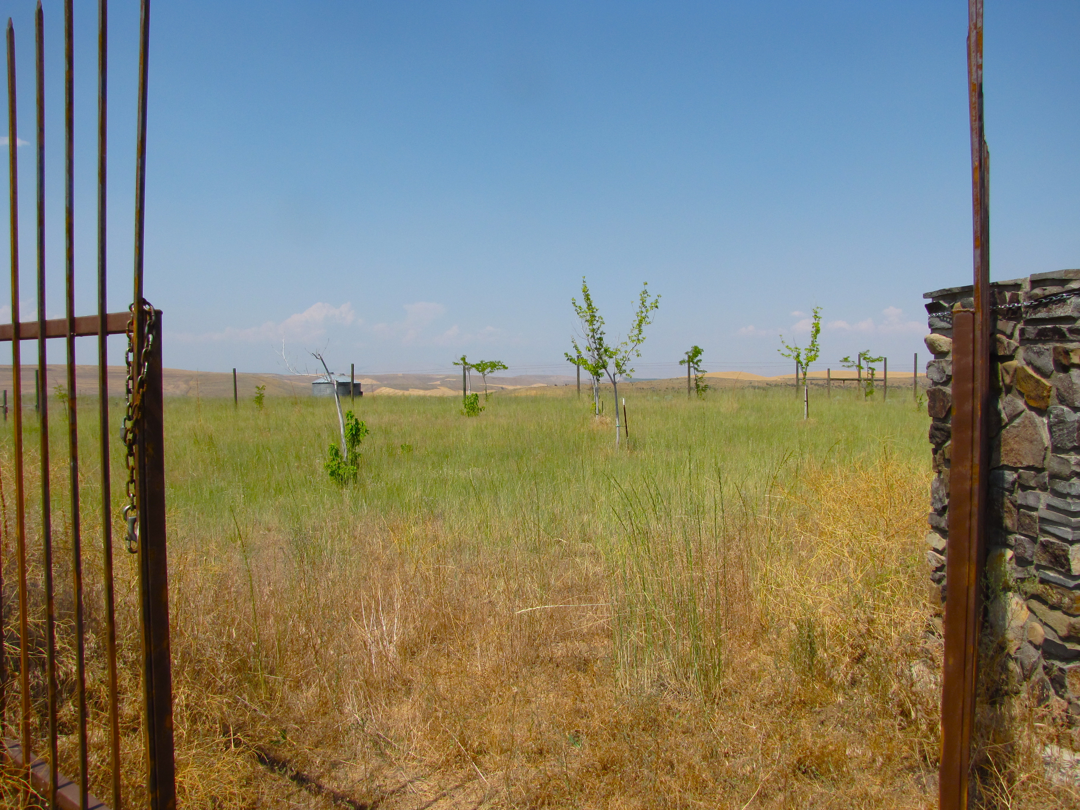
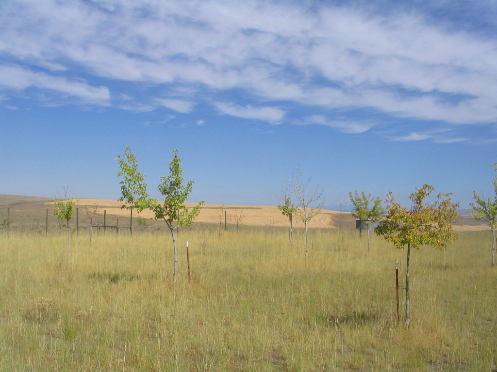
Dufur Fields
Mt. Hood from the Cabin

Unnamed Falls, Wasco County
More Mt. Hood
Halo on the Hood

Dufur, OR
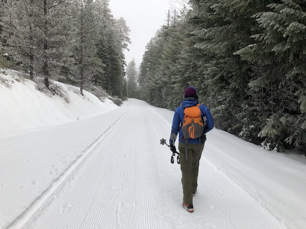
Road 4430
2016-01-30_06-05-52
webb-harvey cemetery - dufur, or
Mount Hood = Photogenic

Dufur, OR
Topographic Map of Ridgetop Rd, Dufur, OR, USA
Find elevation by address:

Places near Ridgetop Rd, Dufur, OR, USA:
Ridgetop Road
Old Friend Rd, Dufur, OR, USA
Pine Hollow Road
Airport Way
206 Heisler St
209 Main St
Dufur
6851 Mill Creek Rd
6594 Mill Creek Rd
The Dalles, OR, USA
81255 Badger Creek Rd
Pine Hollow Reservoir
Pleasant Ridge Road
Pine Hollow
S Mike Rd, Tygh Valley, OR, USA
Fargher Rd, Dufur, OR, USA
4440 Mill Creek Rd
4305 Browns Creek Rd
Tygh Valley
St Charles Ave, Tygh Valley, OR, USA
Recent Searches:
- Elevation of Beall Road, Beall Rd, Florida, USA
- Elevation of Leguwa, Nepal
- Elevation of County Rd, Enterprise, AL, USA
- Elevation of Kolchuginsky District, Vladimir Oblast, Russia
- Elevation of Shustino, Vladimir Oblast, Russia
- Elevation of Lampiasi St, Sarasota, FL, USA
- Elevation of Elwyn Dr, Roanoke Rapids, NC, USA
- Elevation of Congressional Dr, Stevensville, MD, USA
- Elevation of Bellview Rd, McLean, VA, USA
- Elevation of Stage Island Rd, Chatham, MA, USA