Elevation of Pine Hollow Road, Pine Hollow Rd, The Dalles, OR, USA
Location: United States > Oregon > Wasco County > The Dalles >
Longitude: -121.21966
Latitude: 45.4799081
Elevation: 563m / 1847feet
Barometric Pressure: 95KPa
Elevation Map:
Satellite Map:
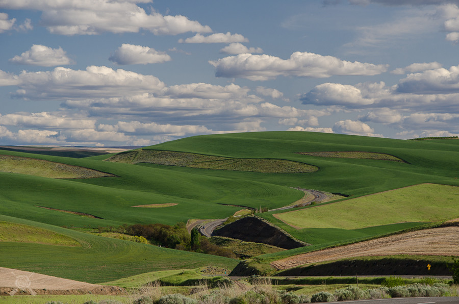
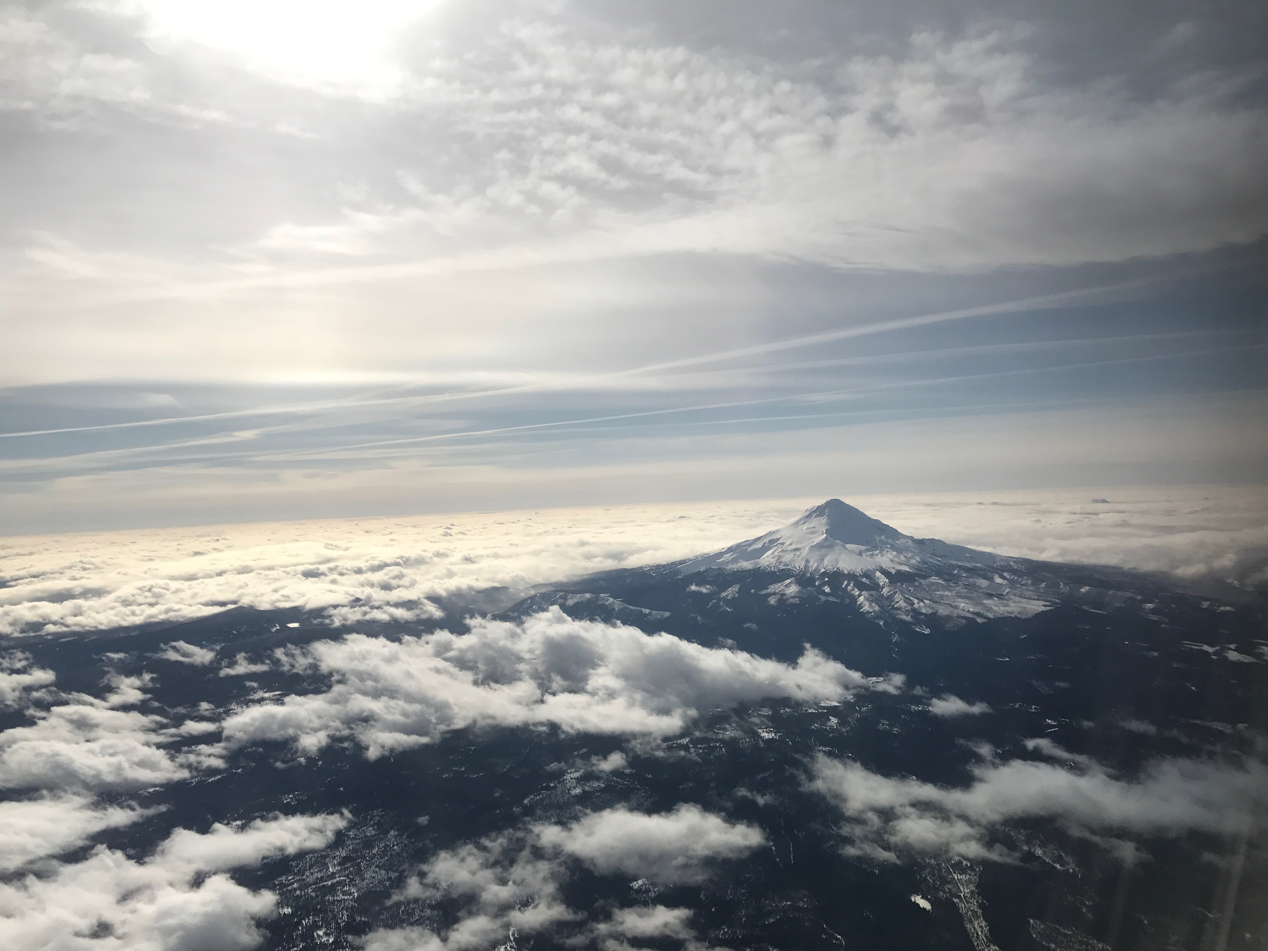
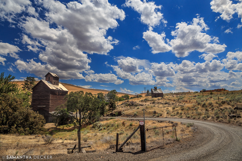
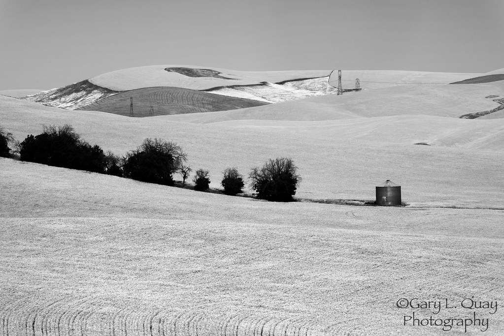
Related Photos:

Sunrise illuminates Mt. Hood and the setting full moon over The Dalles

I was in Oregon somewhere

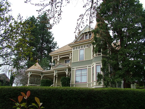
Irish Priest House, color study

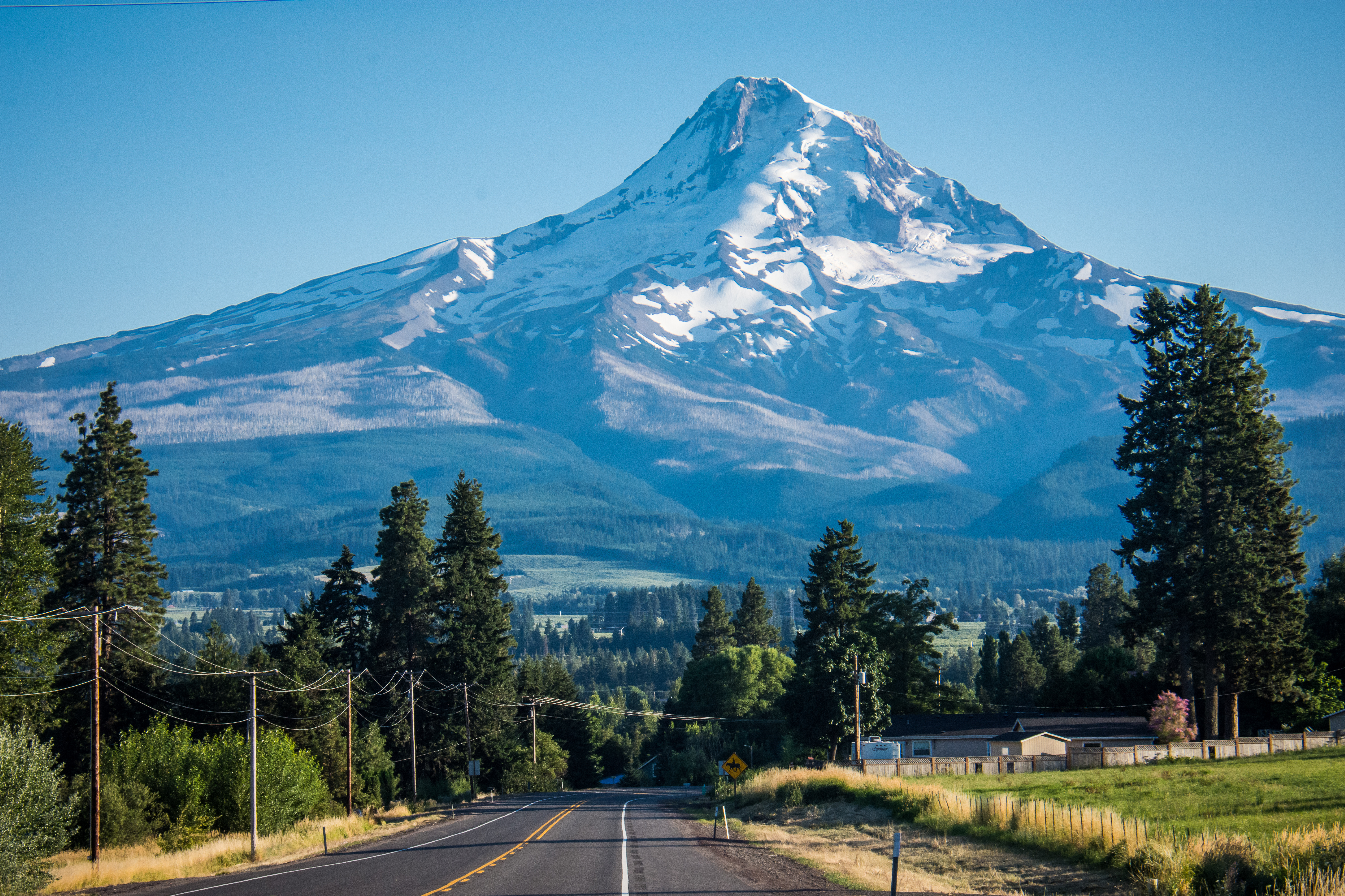
Mt. Hood towers over The Dalles

From sunrise to full moonset at The Dalles

The Dalles Dam in morning blue

Irish Priest House

Mount Hood southwest of The Dalles Bridge 6 17 2012
Lovely View of Mt. Hood - From the "Fruit Loop"

The morning view
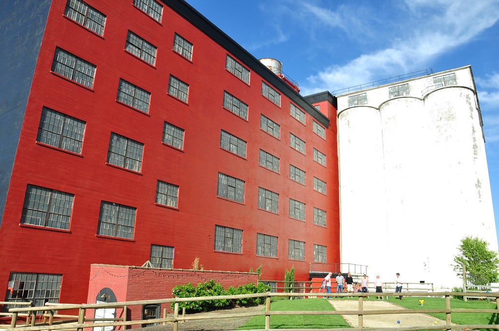
Sunshine Mill Winery

Mountain Hood, OR.

Farm Truck Beauty

The morning view

Day 508: Grocery Outlet

Sunshine Mill Winery

Campsite - The Dalles
TheDalles_OR-20

The morning view

The Dalles from Kelly Viewpoint
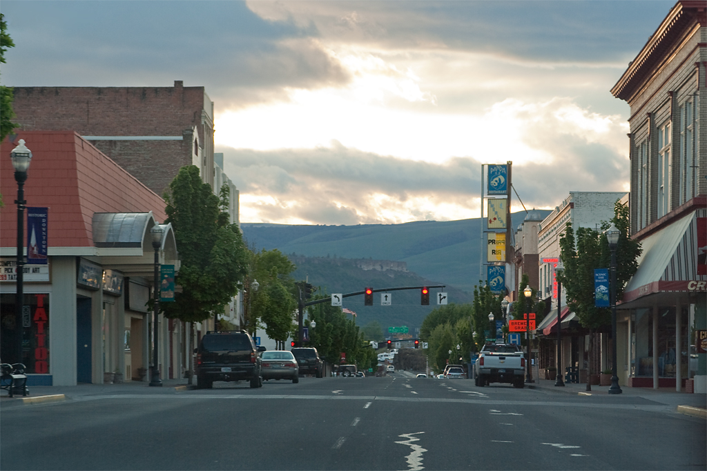
Downtown The Dalles, OR

Sunset Silhouette of Mt. Hood

Mount Hood and Farm, Dufur, Oregon

Day's end at the end of the Oregon Trail

Wildfire: aftermath of a thunderstorm

BNSF 8222+5346+1658+1794, The Dalles (USA), 3.10.2017
Big Wide Open-0391
Flying over PDX ❤️

Houseboats on the Columbia River

First light on The Dalles
Life in Boyd, OR

Mount Hood from Dufur

Mt. Hood

No Dalles 10-5-13

Grain Elevator & Barn

The Dalles Dam, June 2018
Wheatfield Soul, Fivemile Road, Dufur
Topographic Map of Pine Hollow Road, Pine Hollow Rd, The Dalles, OR, USA
Find elevation by address:

Places near Pine Hollow Road, Pine Hollow Rd, The Dalles, OR, USA:
The Dalles, OR, USA
Pleasant Ridge Road
80310 Ridgetop Rd
206 Heisler St
209 Main St
Airport Way
Dufur
4440 Mill Creek Rd
Ridgetop Road
6594 Mill Creek Rd
322 W 20th St
6851 Mill Creek Rd
751 E 18th St
915 E 18th St
Veteran's Memorial
1000 E 14th St
1313 Madison St
1615 Bridge St
The Dalles
1731 E 16th St
Recent Searches:
- Elevation of Warwick, RI, USA
- Elevation of Fern Rd, Whitmore, CA, USA
- Elevation of 62 Abbey St, Marshfield, MA, USA
- Elevation of Fernwood, Bradenton, FL, USA
- Elevation of Felindre, Swansea SA5 7LU, UK
- Elevation of Leyte Industrial Development Estate, Isabel, Leyte, Philippines
- Elevation of W Granada St, Tampa, FL, USA
- Elevation of Pykes Down, Ivybridge PL21 0BY, UK
- Elevation of Jalan Senandin, Lutong, Miri, Sarawak, Malaysia
- Elevation of Bilohirs'k