Elevation of Pleasant Ridge Road, Pleasant Ridge Rd, Oregon, USA

Location: United States > Oregon > Wasco County > The Dalles >

Longitude: -121.17517

Latitude: 45.5403753

Elevation: 336m / 1102feet

Barometric Pressure: 97KPa

Elevation Map:

elevation map of Pleasant Ridge Road, Pleasant Ridge Rd, Oregon, USA

Satellite Map:

Satellite map of Pleasant Ridge Road, Pleasant Ridge Rd, Oregon, USA

Related Photos:

panorama stpeters oregon washington unitedstates fullmoon mthood moonset 180degrees dallesport fullmoonset extremepanorama thebaldwinsaloon d800e 80400afsvrii
From sunrise to full moonset at The Dalles
abandonedhouse thedalles oregon emersonloop victorian field garyquay gary quay nikon d810
R.I.P. Abandoned House
oregon washingtonstate mounthood thedalles columbiarivergorge klickitatcounty thedallesbridge dallesport
Mount Hood southwest of The Dalles Bridge 6 17 2012
blackandwhite bw monochrome oregon oldbuildings pacificnorthwest fav10
Nelson Homestead
decayed
Farm Truck Beauty
sunset nature landscape wa wildflowers rustycar balsamroot lupines columbiahills
Rusty Car among Flowers. (Columbia Hills, WA)
oregon fullmoon fullmoonset pinkhour twilight dallesport washington unitedstates stpeters baldwinsaloon oldclocktower thedalles columbiagorgenationalscenicarea columbiarivergorge fav10 fav20 fav30 fav40 fav50 fav60 columbiagorgephotosonetsy
Sunrise illuminates Mt. Hood and the setting full moon over The Dalles
I was in Oregon somewhere
oregon oldbuildings fav20 mywinners goldmedalwinner platinumphoto impressedbeauty goldstaraward obligatorycolorversion
Irish Priest House, color study
sunset stpeters oregon washington waterfront unitedstates fav20 mthood acrosstheriver fav10 lastlightofday dallesport baldwinsaloon uscopyrightregistered2011 juvenilesalmonbarge
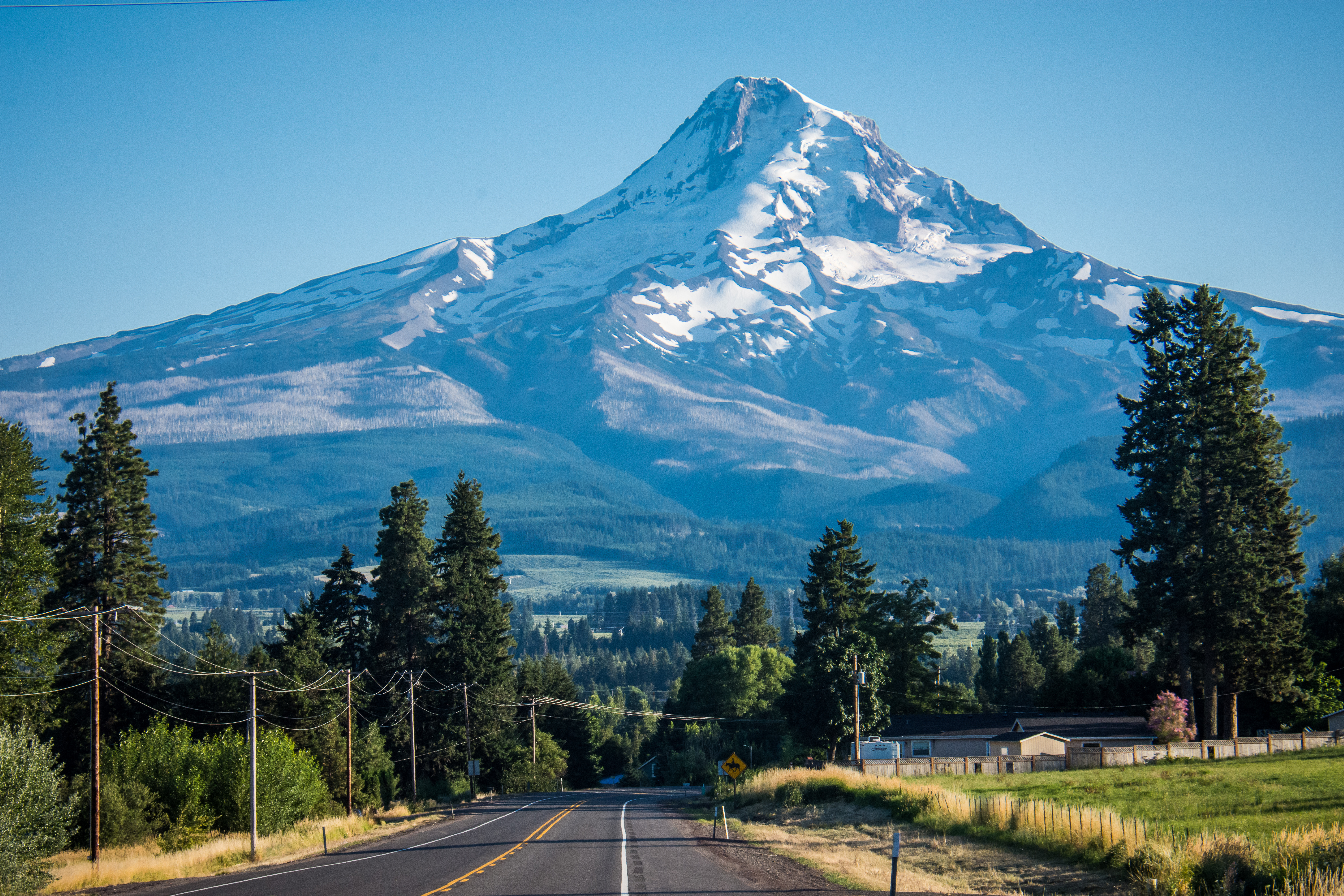
Mt. Hood towers over The Dalles
oregon power unitedstates dam electricity bluehour thedalles hydropower hydroelectricity thedallesdam us197
The Dalles Dam in morning blue
fish oregon pond fav50 fav20 64 april polarizer fav30 minnows smallfish fav10 fav100 fav40 columbiagorgenationalscenicarea fav60 fav90 fav80 fav70 edgeofthepond thedallesdiscoverycenter
Afloat at the edge
blackandwhite bw monochrome oregon searchthebest oldbuildings fav30 soe decayed supershot abigfave ultimateshot theunforgettablepictures life~asiseeit
Irish Priest House
abandoned shadows decay homestead dilapidated baywindows easternoregon
Bay Windows
square squareformat iphoneography instagramapp uploaded:by=instagram foursquare:venue=4c719ce8376da093545ba4c6
Current view #dallesmountainranch #wildflowers #weekendadventures #hiking #jj_washington #washingtonexplored #wander_washington #ColumbiaGorge #cascadiaexplored #instapdx #igers_portland #mthood #omht #mthoodterritory #sunset
mountain snow nature animals fauna oregon washington wildlife sony scenic mthood zebra captive mammals a55v
Scenic View
camera oregon triptych photographer unitedstates thedalles railroads thegorge gifford viewcamera columbiagorgediscoverycenter historyofphotography thecolumbiarivergorge benjamingifford giffordsphotostudio thedallesdiscoverycenter
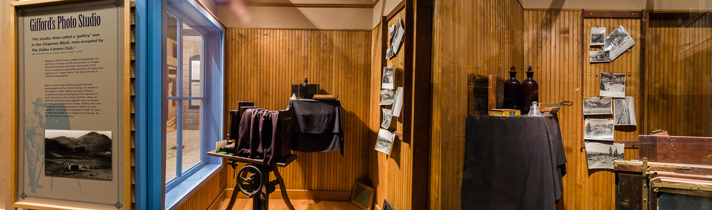
Triptych of Gifford's Photo Studio
thedalles oregon unitedstates us
Lovely View of Mt. Hood - From the "Fruit Loop"
road usa mountain oregon volcano unitedstatesofamerica mounthood columbiarivergorge i84interstate
The Dark Side Of The Mountain
square squareformat iphoneography instagramapp uploaded:by=instagram
The morning view
bridge trees mountain west green water oregon river portland highway mt pacific northwest columbia falls mount waterfalls views hood gorge overlook multnomah tallest
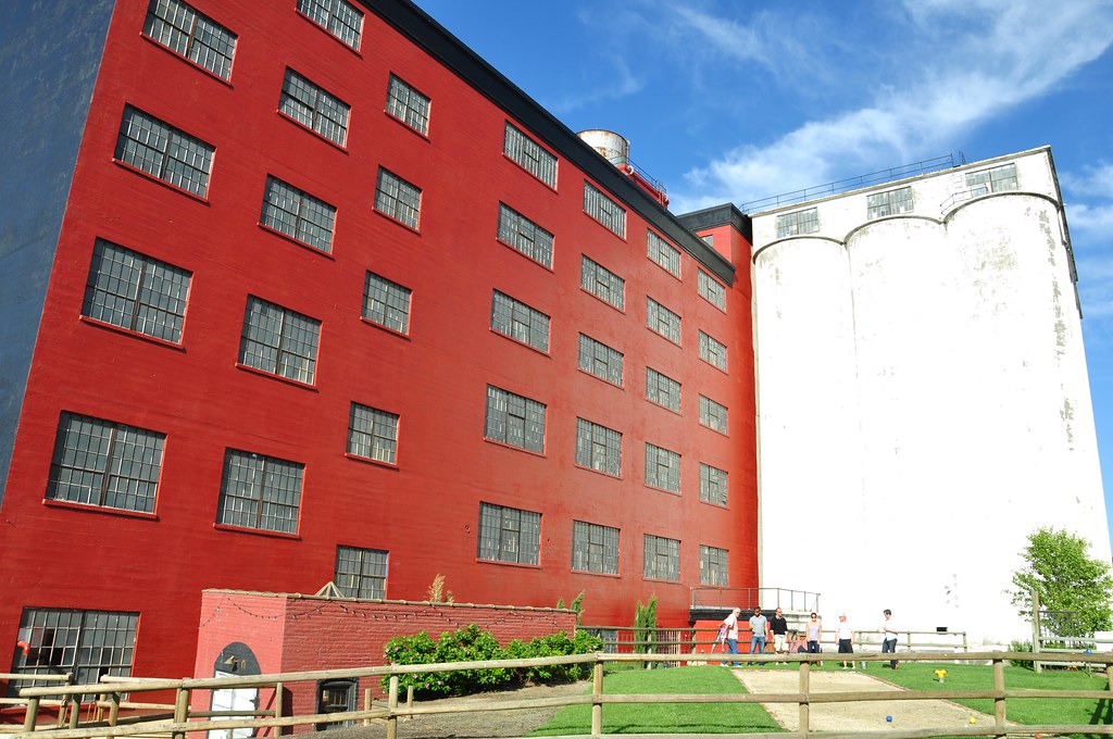
Sunshine Mill Winery
oregon creativecommons decayed greatphotographers scenicsnotjustlandscapes qualitypixels
Old West
dufur oregon farm mount hood mounthood landscape rural agriculture nikon d810 gary quay garyquay
Mount Hood and Farm, Dufur, Oregon
road county camera two house green abandoned field oregon canon lens landscape ian photography eos living is emerson loop mark country victorian images ii 5d usm lush picturesque wasco thedalles sane dufur ef70200mm f28l wrentham abandonedyetnotforgotten charlesenelson
Abandoned Yet Not Forgotten
BNSF 9230 + 8174, Horsethief Park, Washington, USA, 24.09.2017
bnsf8358 es44c4 gevo generalelectric diesel locomotive engine rail railroad train freighttrain graintrain bnsf bnsfrailroad bnsfrailway burlingtonnorthernsantaferailroad burlingtonnorthernsantafe bnsffallbridgesubdivision horsethieflake columbiahillshistoricstatepark columbiariver columbiarivergorge columbiarivergorgenationalscenicarea klickitatcounty washington pacificnorthwest
BNSF Grainer at Horsethief Lake
portlandsubdivision railroads up unionpacific sd402 emd
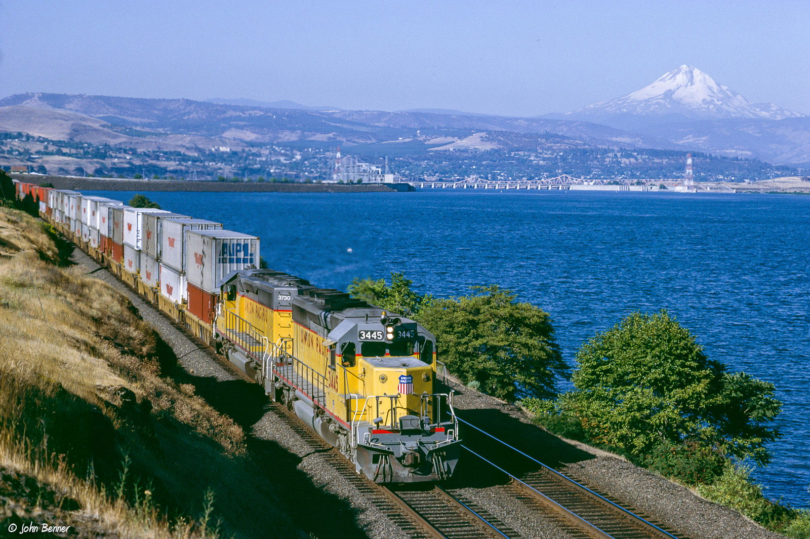
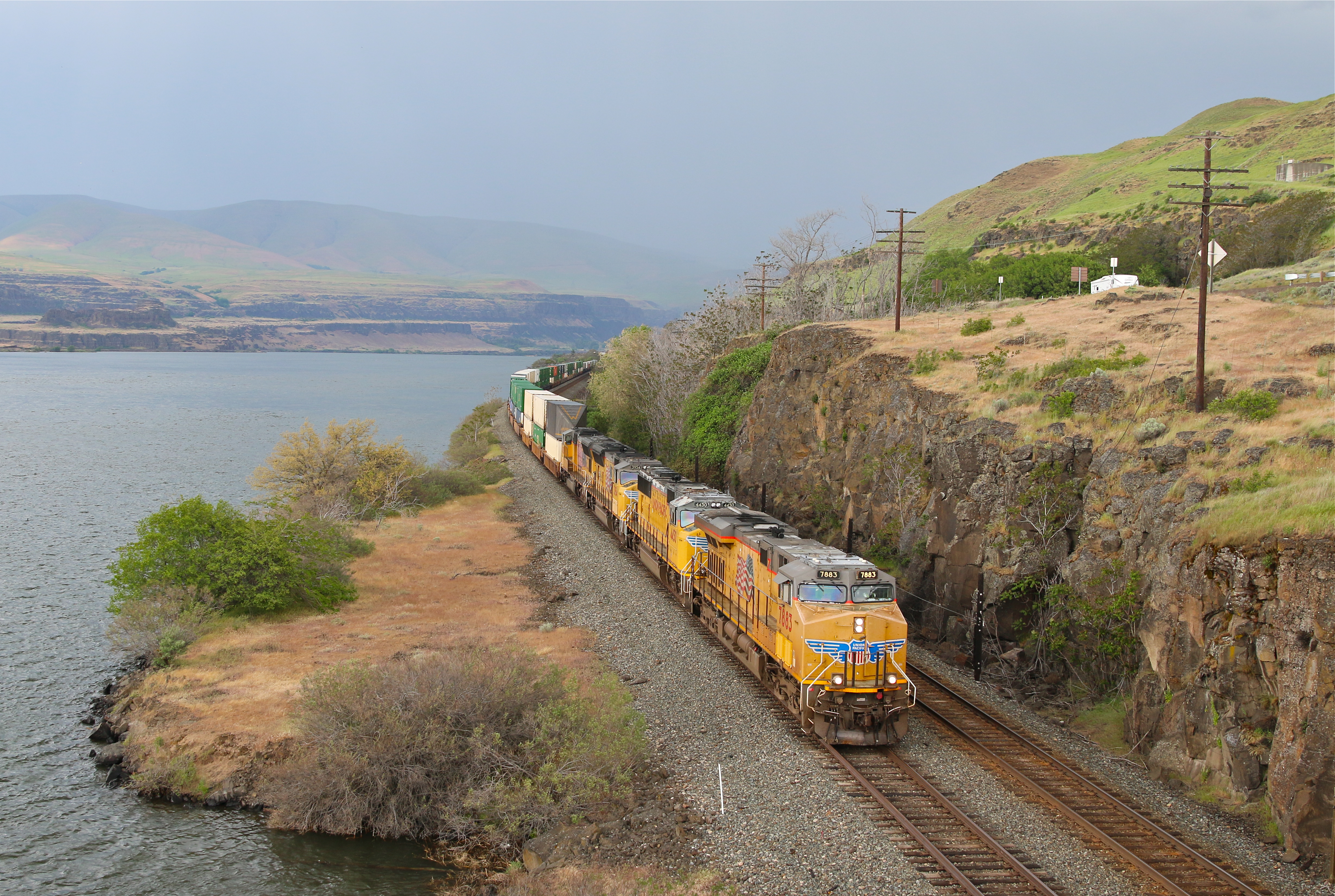
UP 3445 East at The Dalles, OR
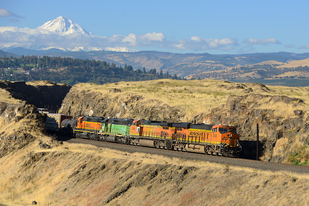
BNSF 8222+5346+1658+1794, The Dalles (USA), 3.10.2017
columbiariver easternoregon bridgelights thedallesoregon thedallesbridge
Lights over the Columbia
orange green oregon evening unitedstates cattle farm wheat harvest hills grazing thedalles wheatfields winterwheat
Grazing at the sunset
dufur oregon agriculture ag farm barn grain storage field irrigation mounthood mt hood garyquay gary quay nikon d810
Mount Hood from Dufur
landscape nature road columbiariver bluesky sunny washingtonstate pacificnorthwest canoneos5dmarkiii canonef1635mmf4lis yextwashington
The Flood
trains railroads unionpacific up portlandsubdivision intermodaltrains columbiagorge columbiariver thedalles oregon rain
The Dalles, Oregon