Elevation of Ridge Rd, Somerset, VA, USA
Location: United States > Virginia > Orange County > > Somerset >
Longitude: -78.270741
Latitude: 38.2371237
Elevation: 143m / 469feet
Barometric Pressure: 100KPa
Elevation Map:
Satellite Map:
Related Photos:
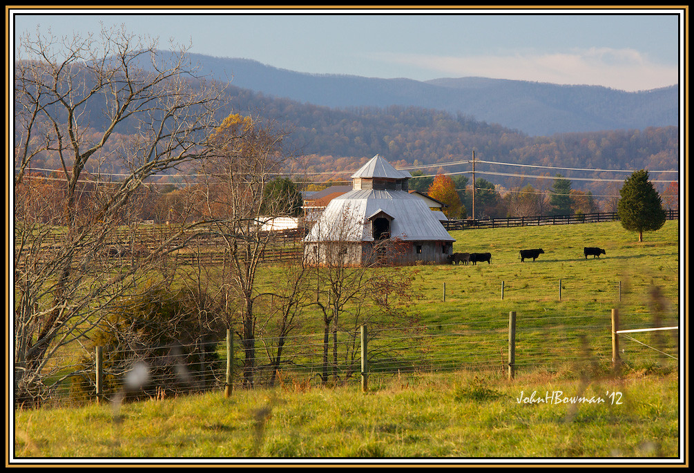
Virginia "Round" Barn
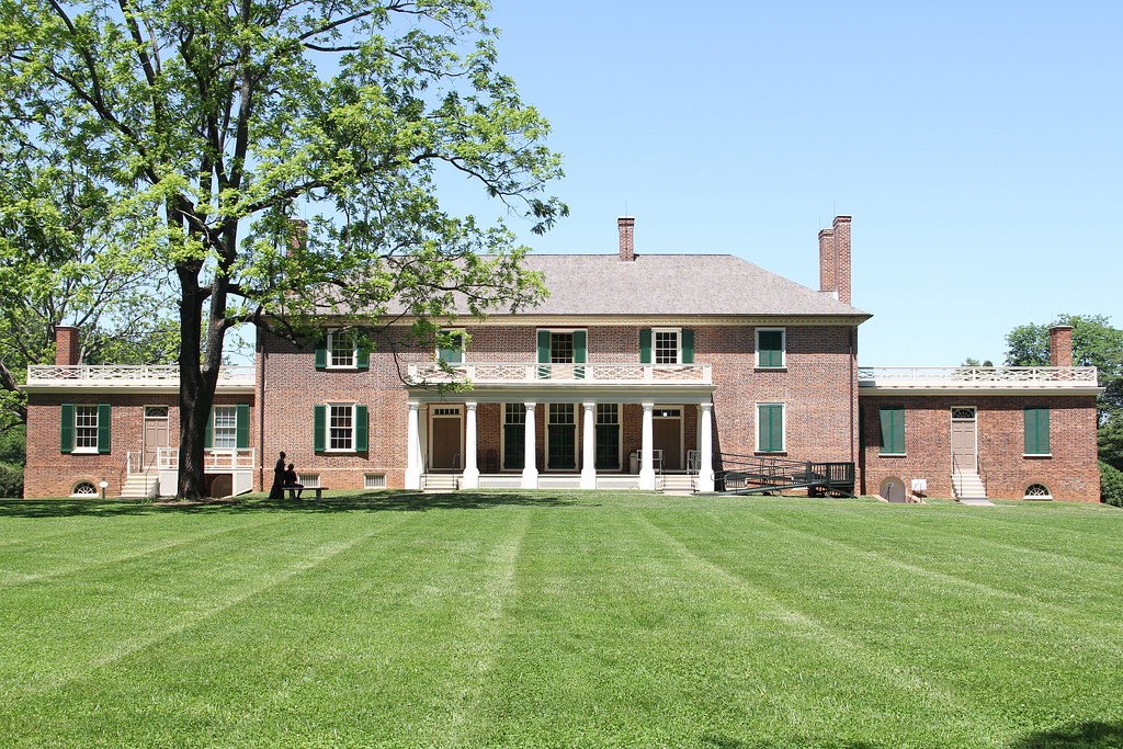
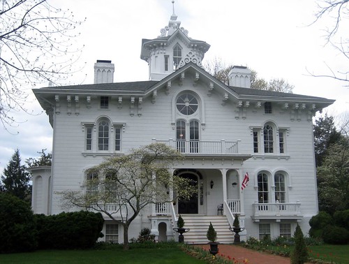
Montpelier - View of the Manor House from the Back Lawn

Montpelier - View from the Front of the Manor House
Montpelier - Slave Cemetery
Montpelier - South Yard Slave Quarter Site
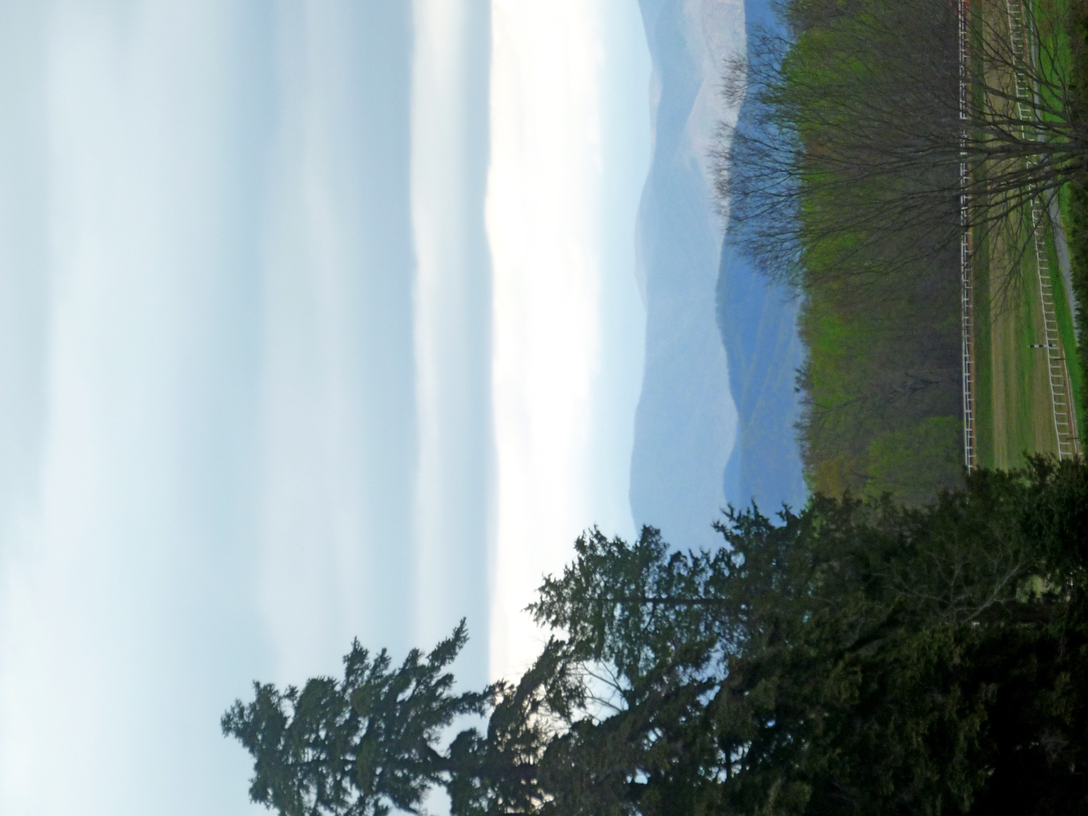
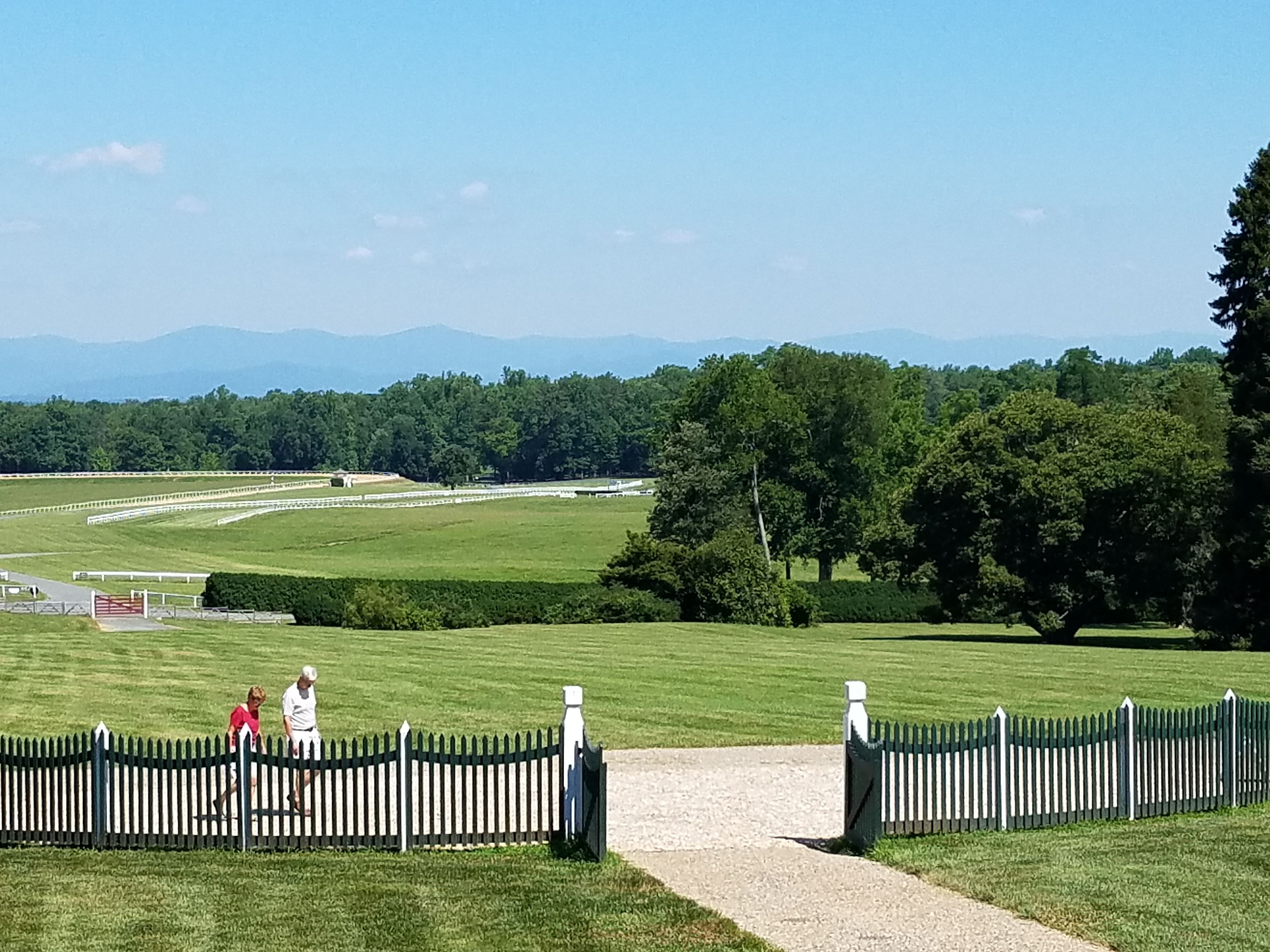
Panorama -- View Northwest from James Madison's Montpelier Estate (Orange County, VA)
Exchange Hotel, Civil War Hospital

Sunset Tractor
Advance Mills Bridge
kitchen view
Fresh Mountain Air
Mayhurst Inn, Orange (Orange County), VA
View from Skyline Drive

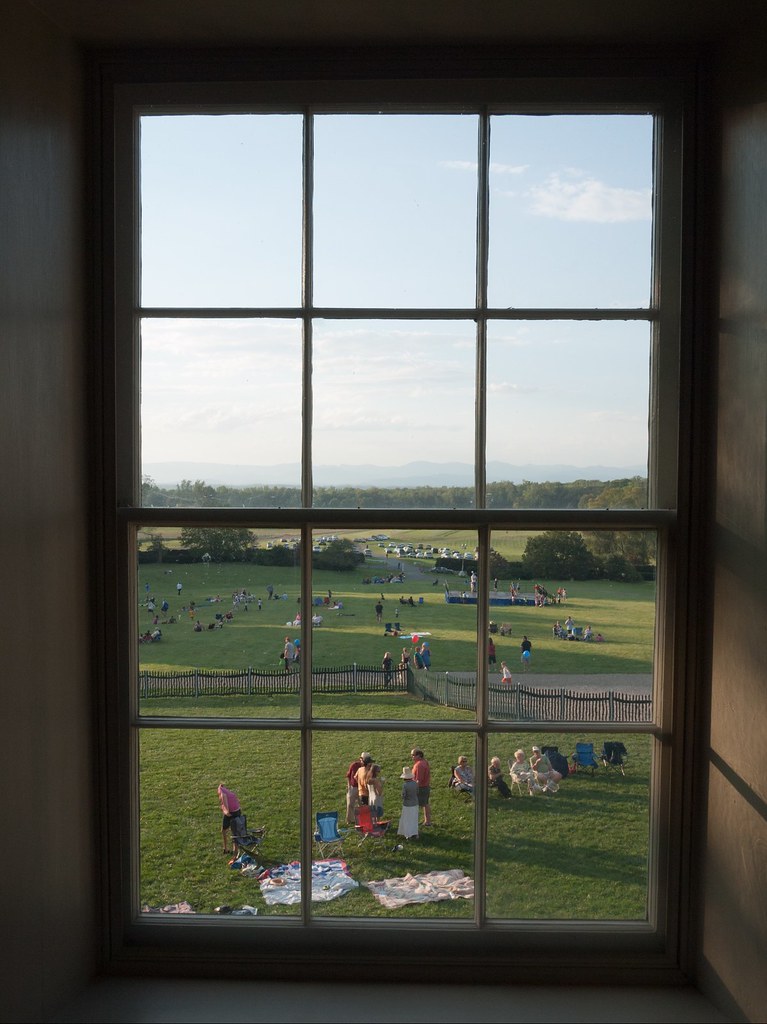
Mother Madison's Kitchen Window
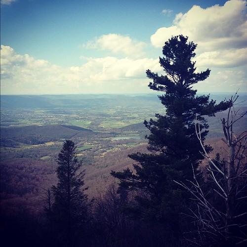
Blue Ridge view
2018-07-10 10.53.24
Through the Windows

Former Safeway Interior 1 - Orange, VA
Virginia: Gordonsville: A view from Amtrak's The Cardinal
Montpelier Vista
Today @reeves1968 and I gave a special twighlight tour of our #digmontpelier @jmmontpelier. While talking about the 18th century landscape, and the view the landscape walls would have emphasized when looking from the library where Madison wrote the Virgin
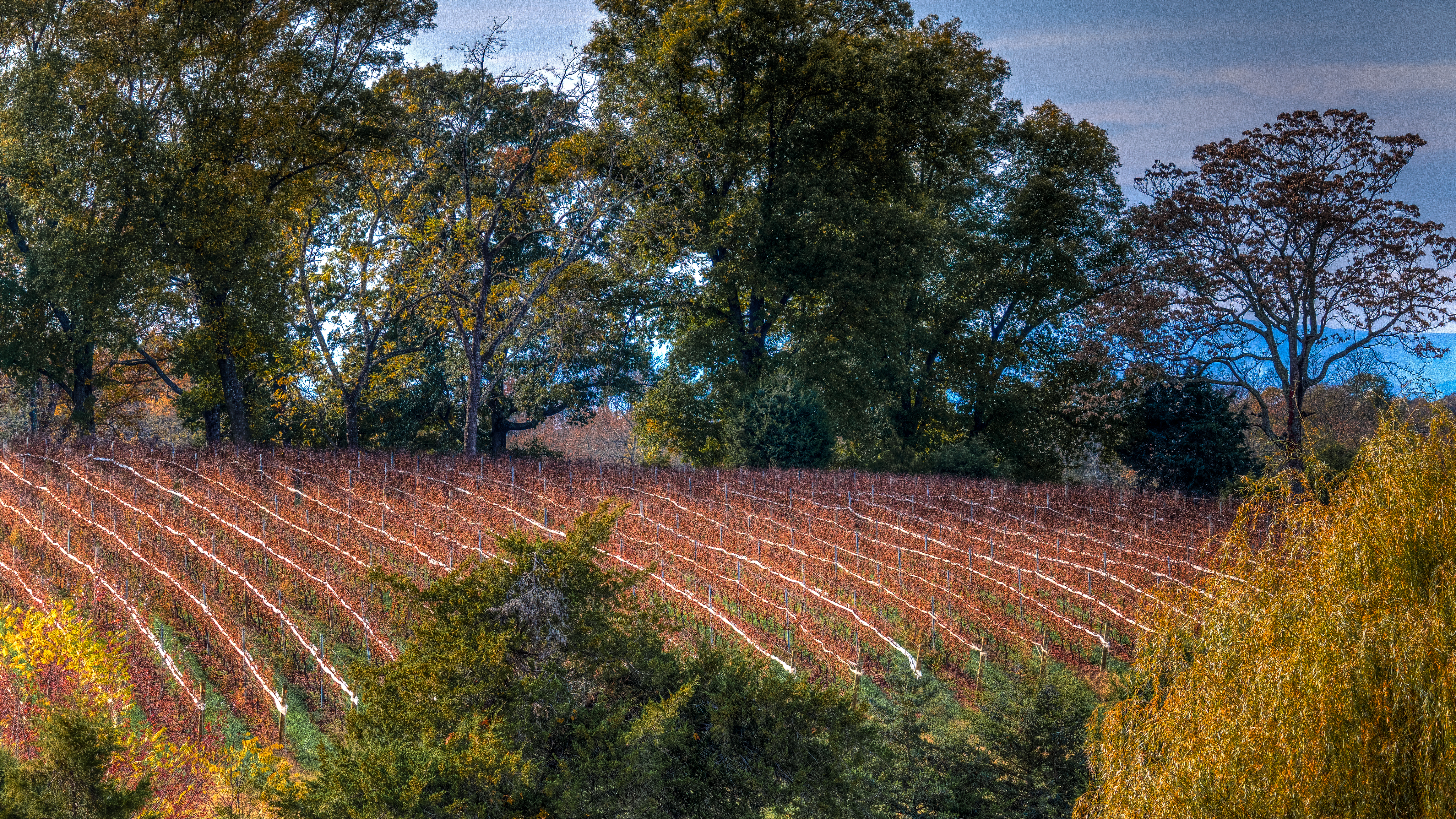
After the Harvest @ Barboursville Vineyards, Virginia
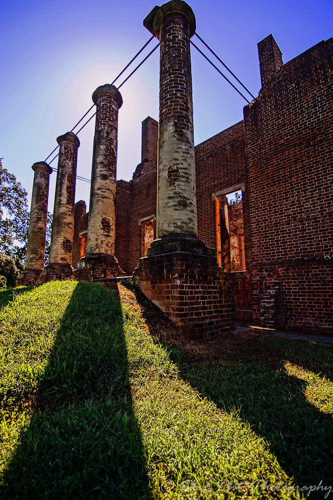
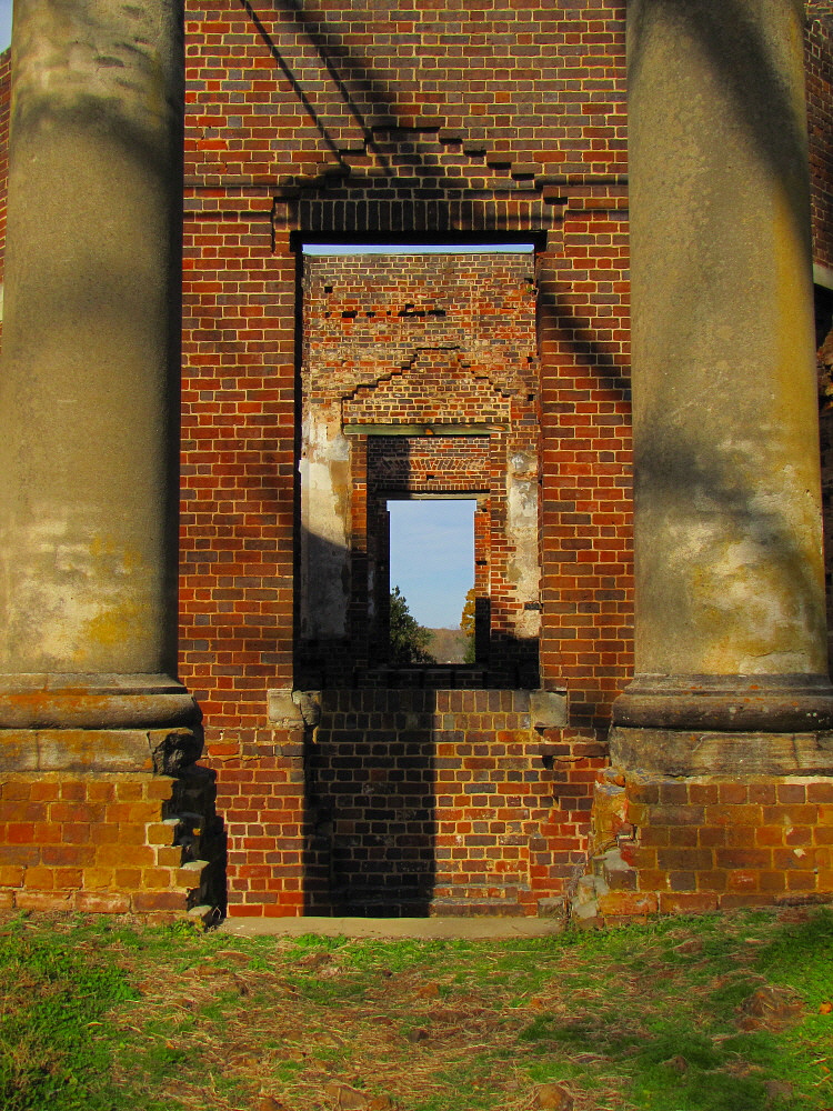
Baboursville Ruins-2
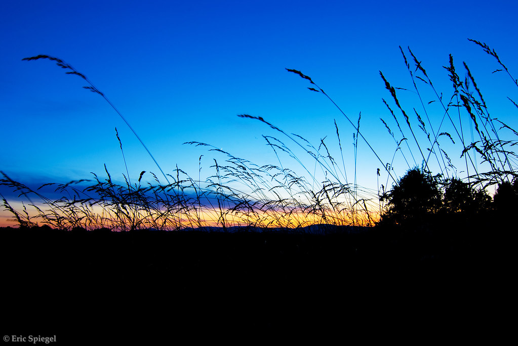
Sunset Through the Tall Grass
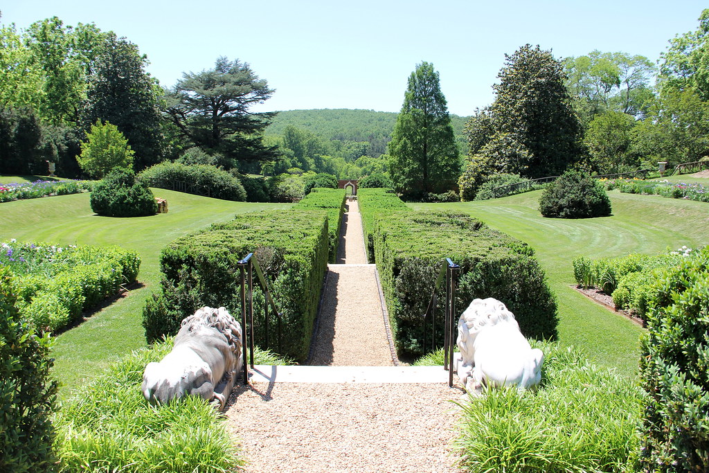
Montpelier - Annie duPont Formal Garden
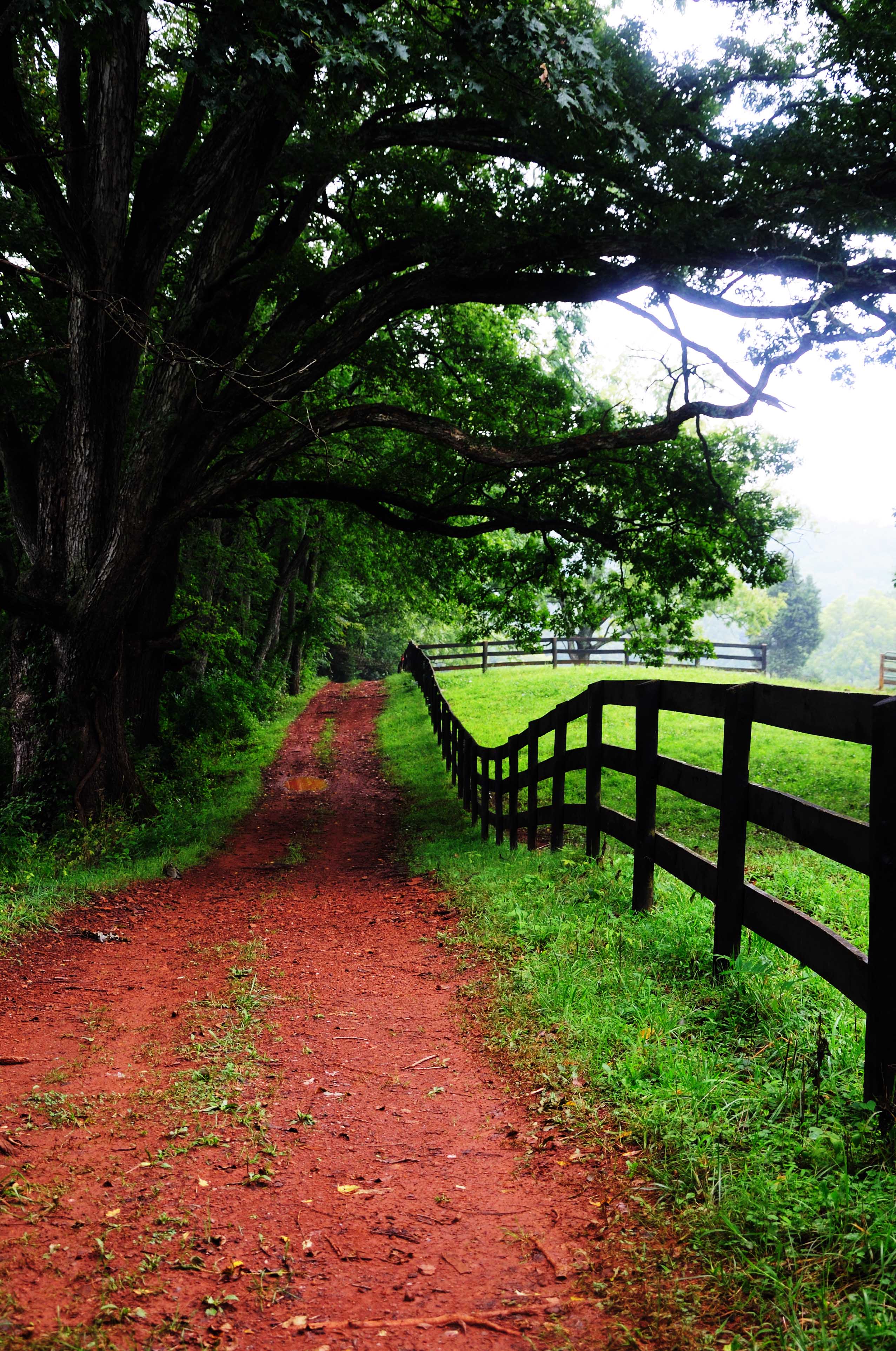
Red Dirt Road in Rain
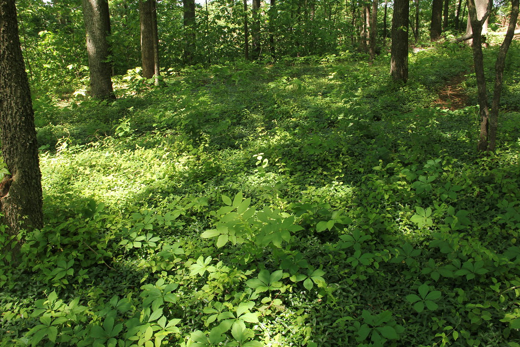
Montpelier - James Madison Landmark Forest
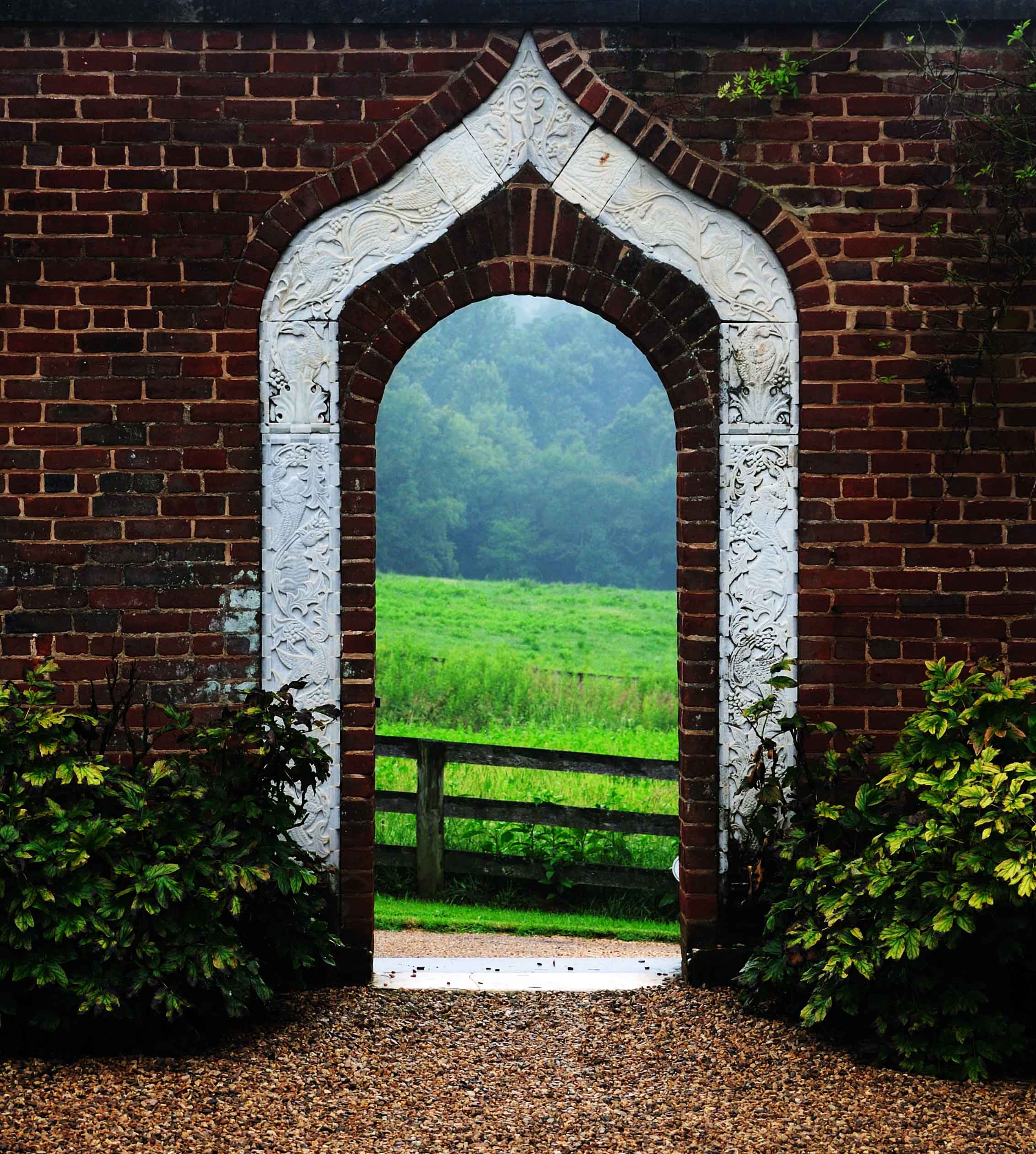
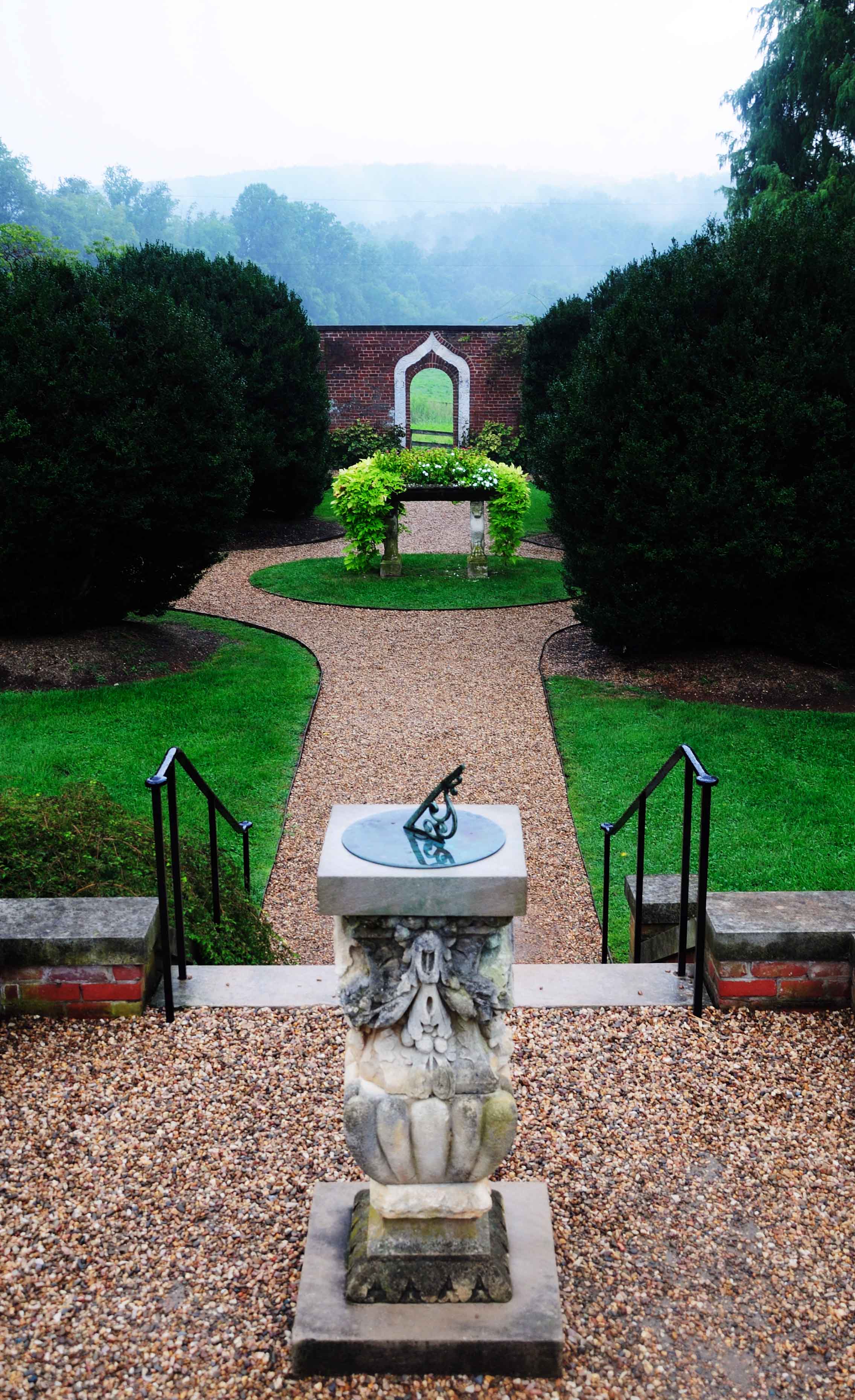
Garden Entrance
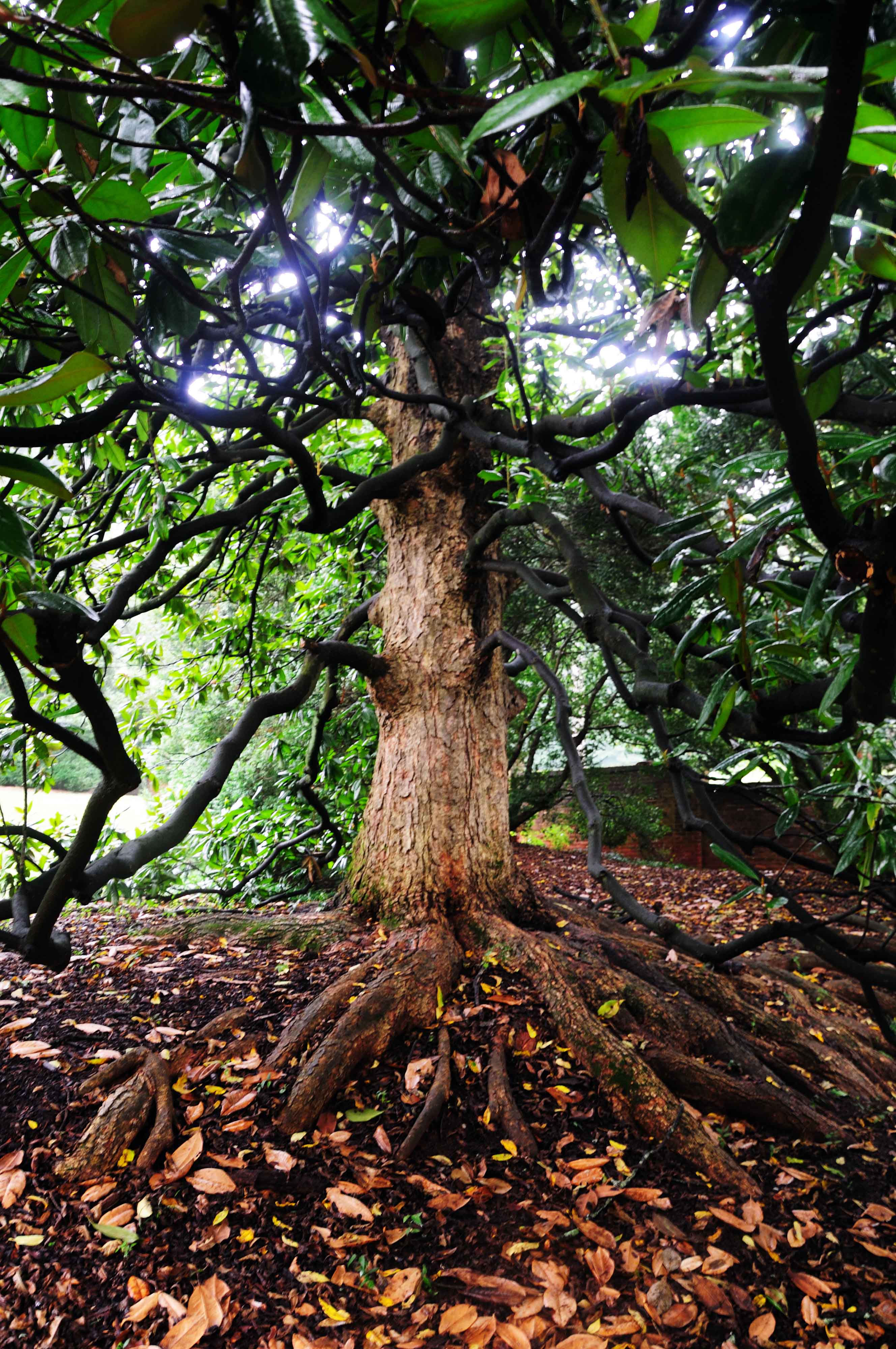
Rain Covered Exotic Tree
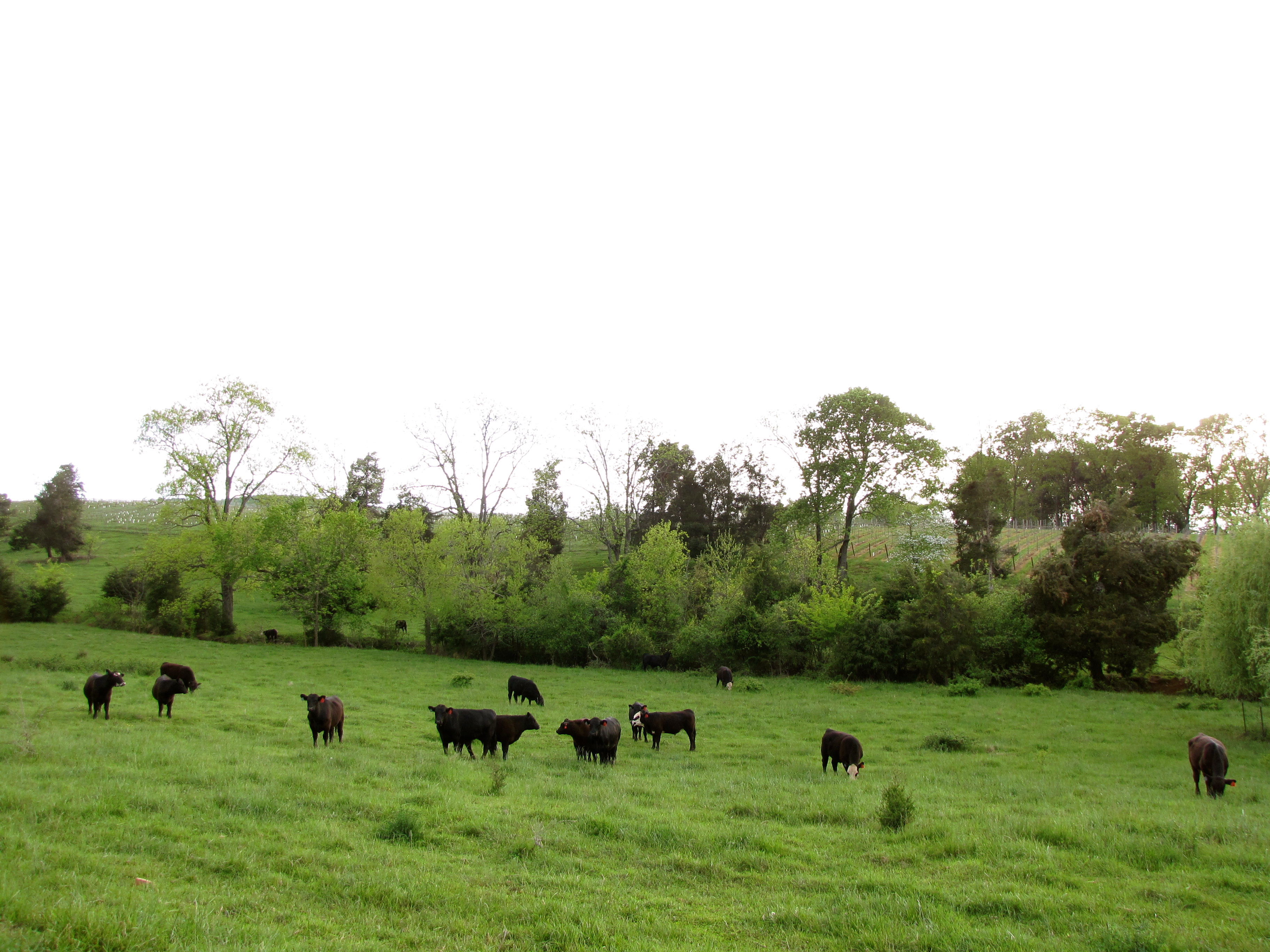
Virginia Cattle
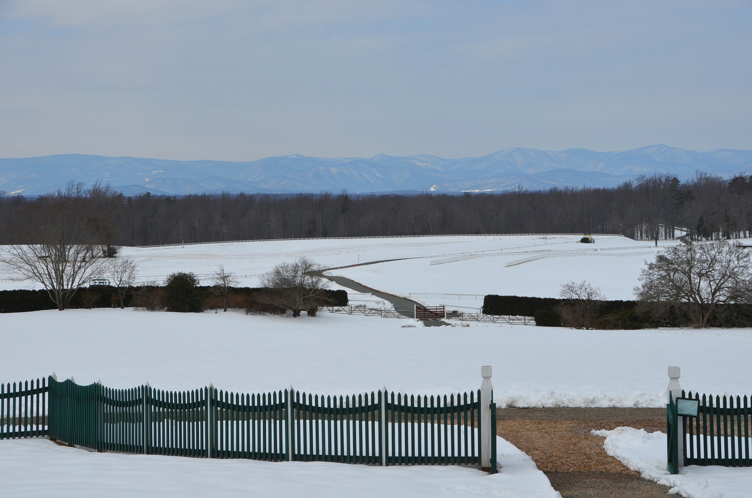
South Garden Elevation
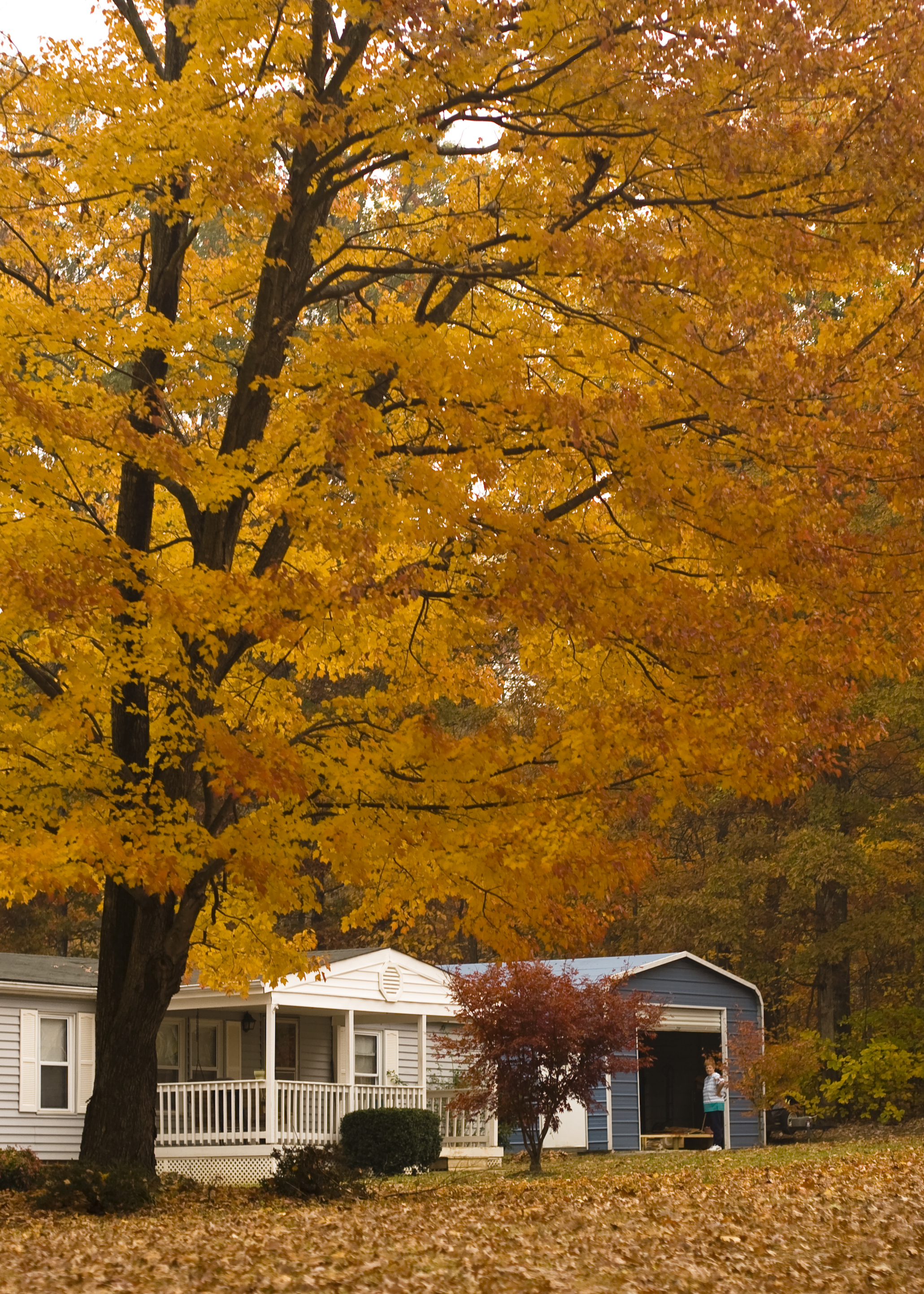
Yellow tree

Orange County, Va.

Virginia vines.
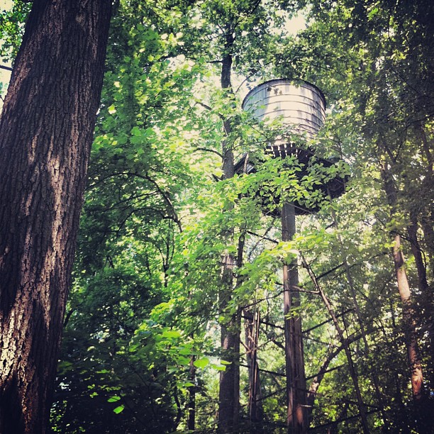
Forgotten water tower. #madison #va

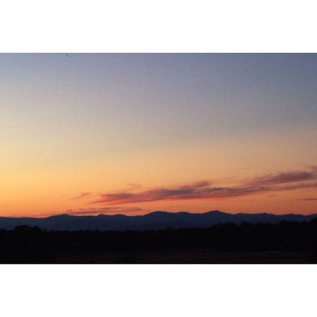
#Sunset #Madison #Virginia #EarlyMountainVineyard #Landscape #Horizonline #AppalachianMountains #PointPerspective
Gig with @jackilby
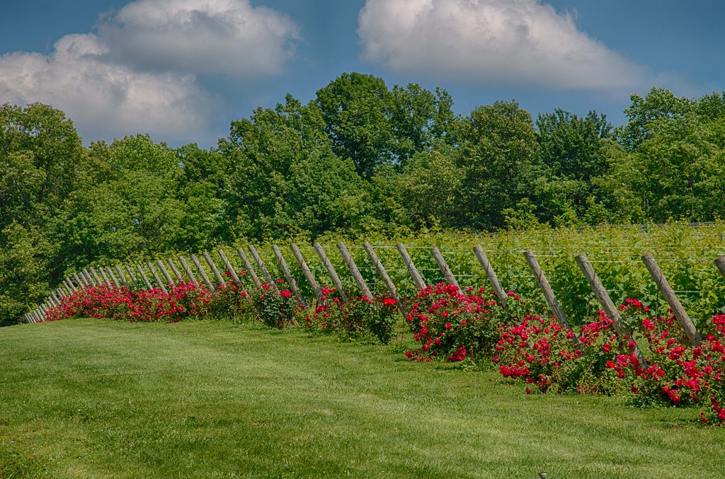
Vineyards and roses !
Topographic Map of Ridge Rd, Somerset, VA, USA
Find elevation by address:

Places near Ridge Rd, Somerset, VA, USA:
12504 Marsh Run Ln
Kemper Dr, Barboursville, VA, USA
1, VA, USA
6358 Blue Run Rd
13180 Albano Rd
Aose-virginia Soil & Septic
Albano Rd, Barboursville, VA, USA
13118 Evergreen Ave
Blue Ridge Turnpike, Somerset, VA, USA
Constitution Hwy, Gordonsville, VA, USA
Somerset
Barboursville
S Blue Ridge Turnpike, Rochelle, VA, USA
16380 Hamm Farm Rd
5123 Burnley Rd
Ruckersville
38 Oak Terrace Dr
U.s. 33
Ruckersville
12264 Dolley Madison Rd
Recent Searches:
- Elevation of Elwyn Dr, Roanoke Rapids, NC, USA
- Elevation of Congressional Dr, Stevensville, MD, USA
- Elevation of Bellview Rd, McLean, VA, USA
- Elevation of Stage Island Rd, Chatham, MA, USA
- Elevation of Shibuya Scramble Crossing, 21 Udagawacho, Shibuya City, Tokyo -, Japan
- Elevation of Jadagoniai, Kaunas District Municipality, Lithuania
- Elevation of Pagonija rock, Kranto 7-oji g. 8"N, Kaunas, Lithuania
- Elevation of Co Rd 87, Jamestown, CO, USA
- Elevation of Tenjo, Cundinamarca, Colombia
- Elevation of Côte-des-Neiges, Montreal, QC H4A 3J6, Canada