Elevation of Burnley Rd, Barboursville, VA, USA
Location: United States > Virginia > Albemarle County > Rivanna >
Longitude: -78.345678
Latitude: 38.176741
Elevation: 168m / 551feet
Barometric Pressure: 99KPa
Elevation Map:
Satellite Map:
Related Photos:

Snow Day
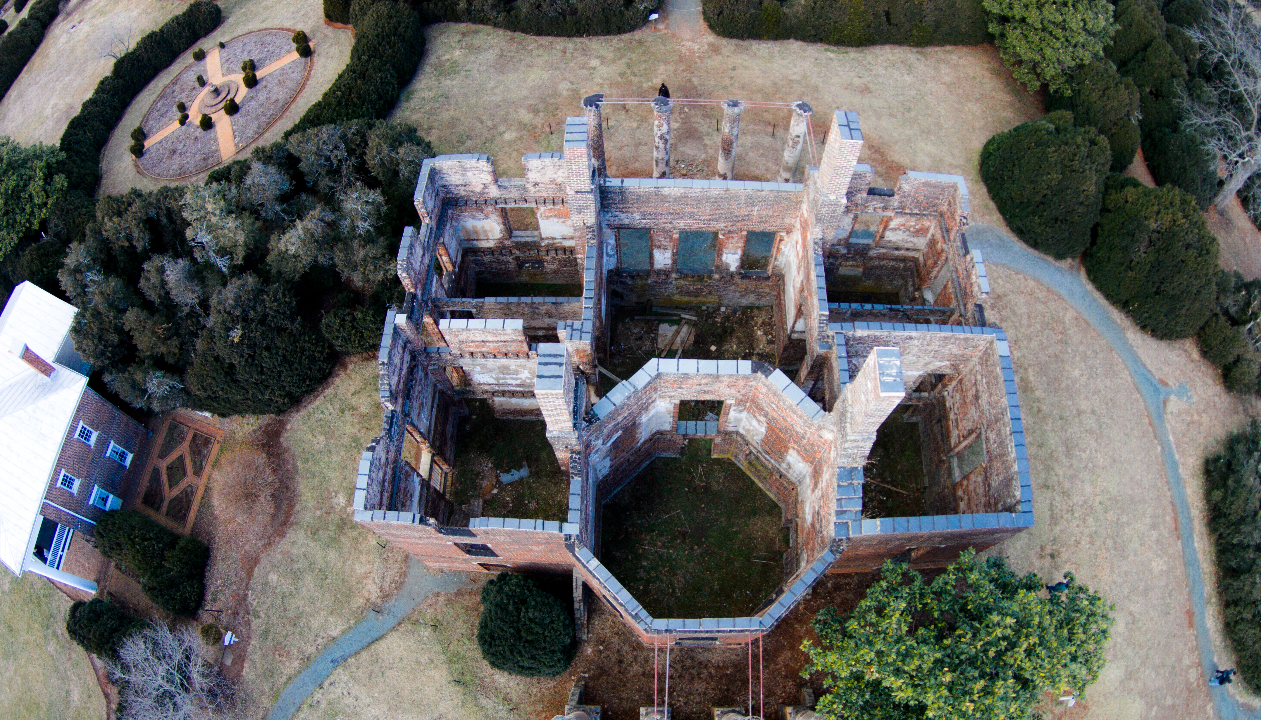
Barboursville Vineyards.drone.1

Grace Episcopal Church
Barboursville Ruins

objects in the rear view mirror may appear...
View from Skyline Drive
Gordonsville, Virginia
Through the Windows
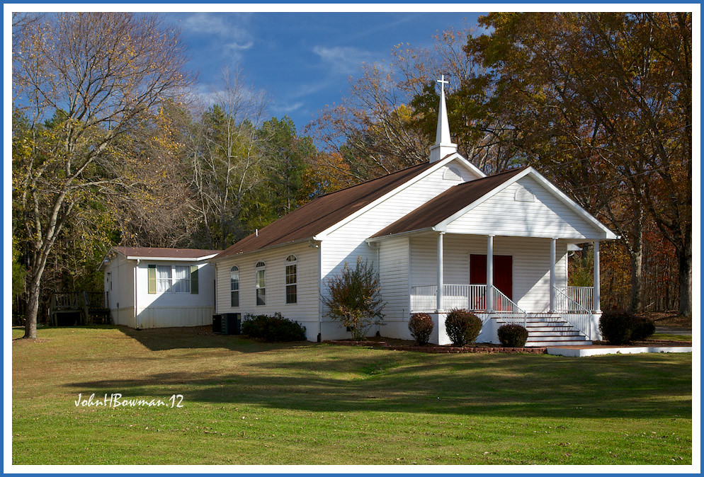
New Hope Baptist Church
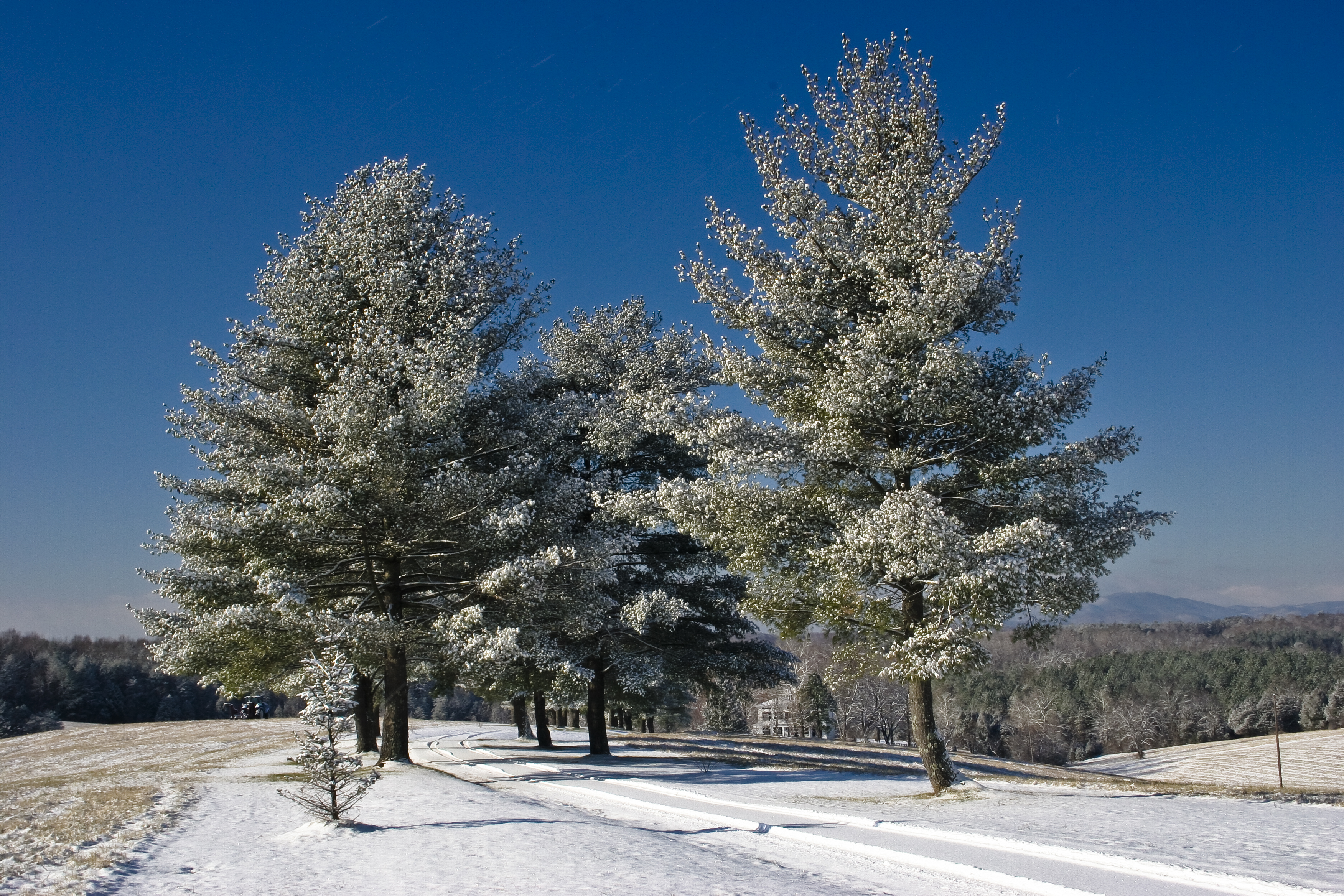
Snowy trees
View of the southwest mountains from our NE paddock/field
Today @reeves1968 and I gave a special twighlight tour of our #digmontpelier @jmmontpelier. While talking about the 18th century landscape, and the view the landscape walls would have emphasized when looking from the library where Madison wrote the Virgin
House view 2
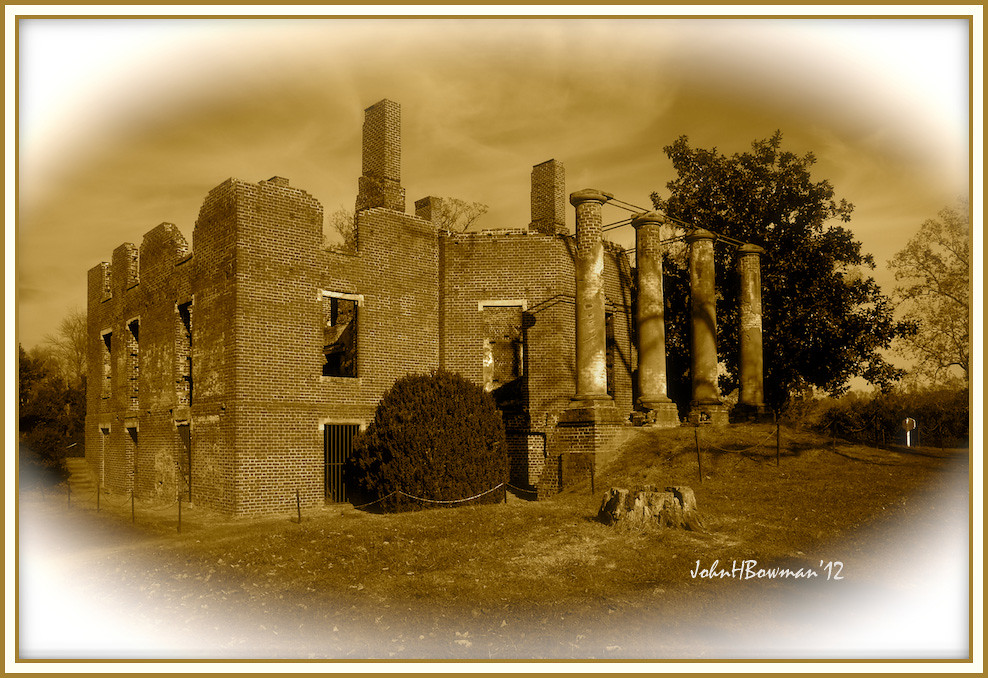
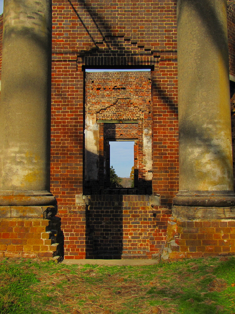
Barboursville Ruins 2
barboursville vineyards 10.9.11 - 10
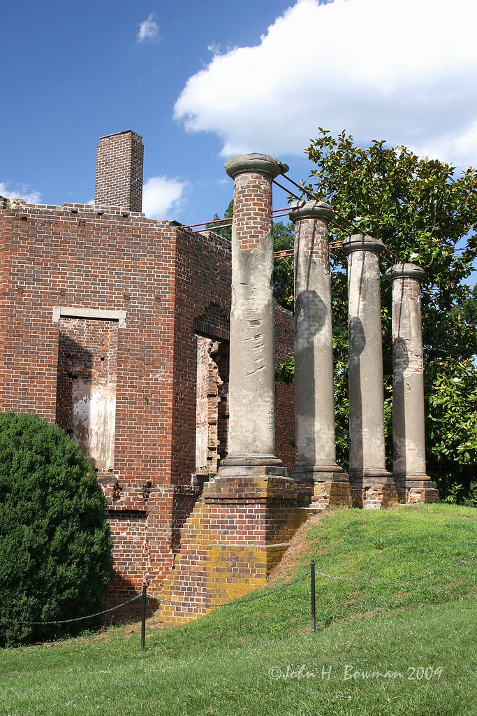
Barboursville Ruins 1
Exchange Hotel, Civil War Hospital
Virginia: Gordonsville: C&O Cabin
House view 3

THE TREE OF LIFE, EARLYSVILLE, VIRGINIA
Snowy Hay Bales

Ruckersville, VA
Montpelier - Annie duPont Formal Garden

Foggy Morning

Ivy Creek Natural Trail

Reflections Through the Ice; Ivy Creek Natural Area; Charlottesville, Virginia

Breezy Field

A lake near by C'ville Airport
The Last of the Leaves
Small Waterfall
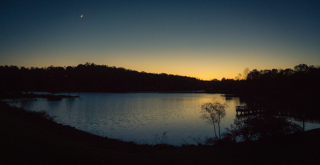
Last Light at Chris Greene Lake

Barboursville Vineyards 09

It's hotter than the surface of the sun out here. Taking a little break in the shade by the lake.

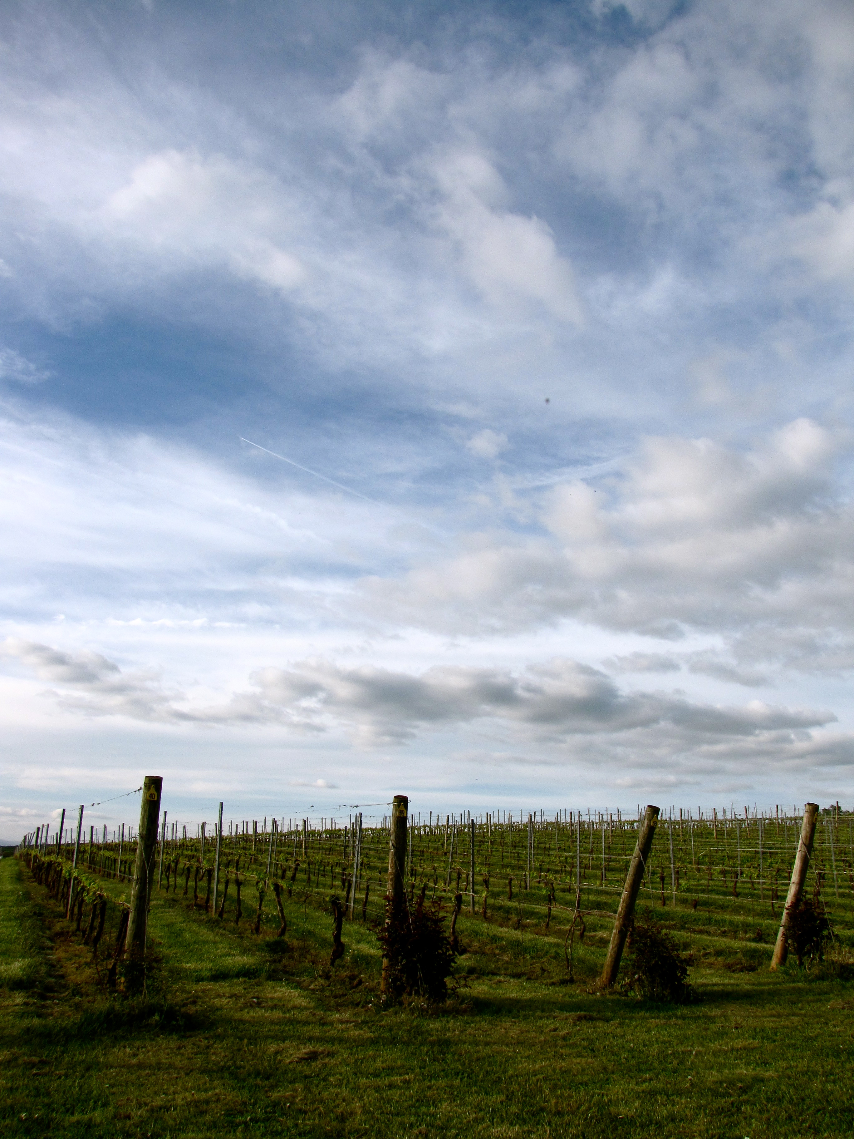
Virginia vines.
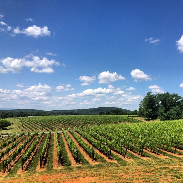
Barboursville Vineyard
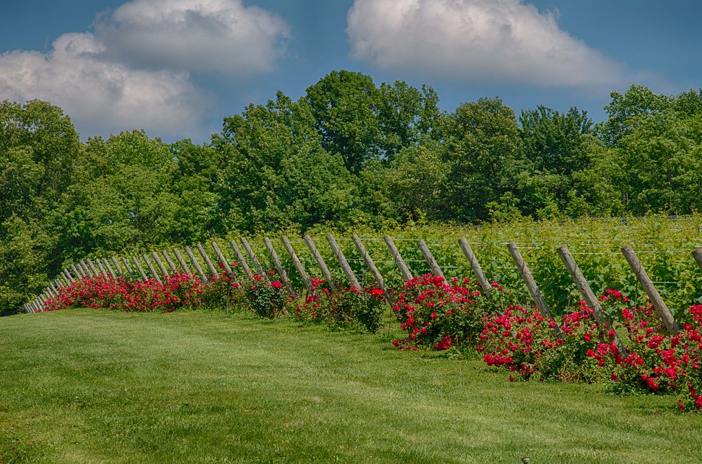
Vineyards and roses !

Baboursville Ruins HDR1
Beautiful day for some wine.
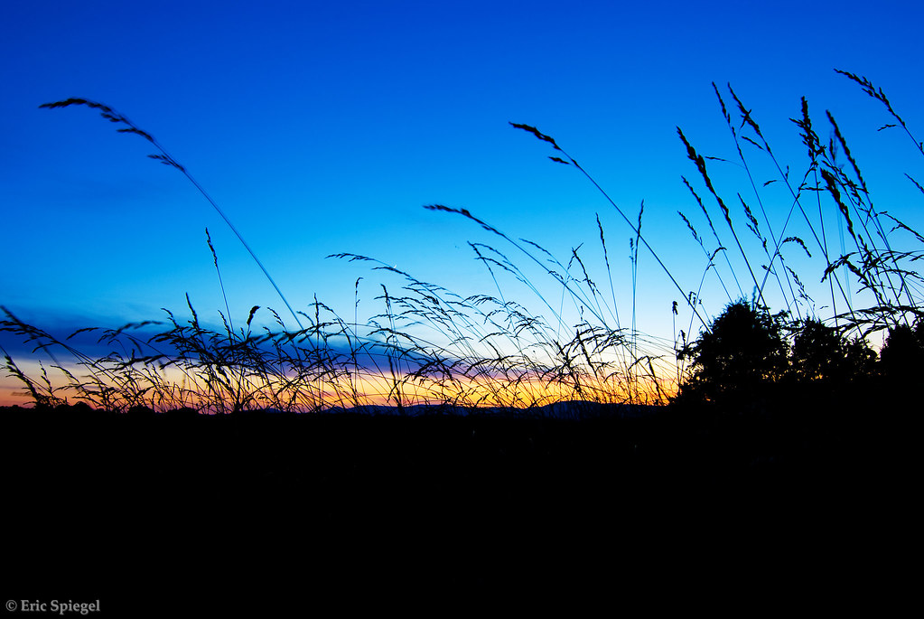
Sunset Through the Tall Grass
Topographic Map of Burnley Rd, Barboursville, VA, USA
Find elevation by address:

Places near Burnley Rd, Barboursville, VA, USA:
16380 Hamm Farm Rd
38 Oak Terrace Dr
Ruckersville
Albano Rd, Barboursville, VA, USA
13118 Evergreen Ave
13180 Albano Rd
135 Stag Dr
Ruckersville
U.s. 33
Barboursville
43 Greene Ct
1186 Carodon Dr
Aose-virginia Soil & Septic
6358 Blue Run Rd
1, VA, USA
Constitution Hwy, Gordonsville, VA, USA
12504 Marsh Run Ln
Kemper Dr, Barboursville, VA, USA
162 Stephens Loop
6099 Ridge Rd
Recent Searches:
- Elevation of Lampiasi St, Sarasota, FL, USA
- Elevation of Elwyn Dr, Roanoke Rapids, NC, USA
- Elevation of Congressional Dr, Stevensville, MD, USA
- Elevation of Bellview Rd, McLean, VA, USA
- Elevation of Stage Island Rd, Chatham, MA, USA
- Elevation of Shibuya Scramble Crossing, 21 Udagawacho, Shibuya City, Tokyo -, Japan
- Elevation of Jadagoniai, Kaunas District Municipality, Lithuania
- Elevation of Pagonija rock, Kranto 7-oji g. 8"N, Kaunas, Lithuania
- Elevation of Co Rd 87, Jamestown, CO, USA
- Elevation of Tenjo, Cundinamarca, Colombia