Elevation of Richwood Dr, Fairfield Bay, AR, USA
Location: United States > Arkansas > Van Buren County > Indian Rock Township > Fairfield Bay >
Longitude: -92.268137
Latitude: 35.613172
Elevation: 295m / 968feet
Barometric Pressure: 98KPa
Elevation Map:
Satellite Map:
Related Photos:

Window View

Fairfield Bay, Arkansas

Cabin 2 View

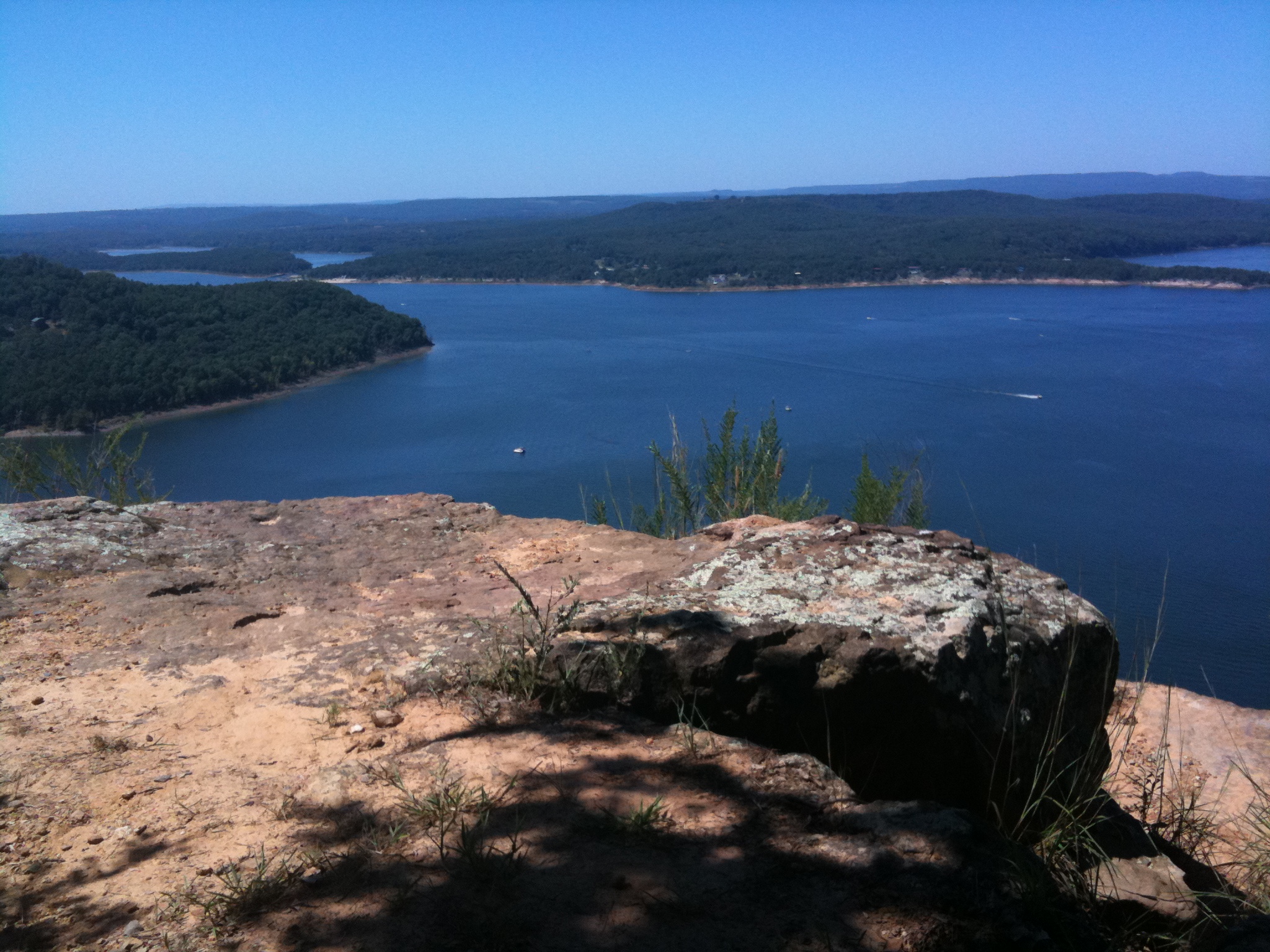
Paul and view of Greers Ferry Lake east from Sugar Loaf Island, Arkansas

Fairfield Bay, Arkansas

Katie and Matt, Greers Ferry Lake view eastward from Sugar Loaf Island, Arkansas

Garter Snake

Deck View- Weaver Creek

Pee Dee Creek-Side View

View from the lake house

Devil's Fork Sunset

Greer's Ferry Lake Shoreline

Fairfield Bay Marina

Hanging out. :-)

This weekend we took a ferry out on the lake to an mountain/island. It was a perfect opportunity for #whpfoggy

Greers Ferry Lake Arkansas (8 of 14).jpg

Fairfield Bay Boat Docks
Greer's Ferry Lake

Water Fall

Water fall.
Topographic Map of Richwood Dr, Fairfield Bay, AR, USA
Find elevation by address:

Places near Richwood Dr, Fairfield Bay, AR, USA:
112 Hollybrook Rd
103 Rosemont Cir
168 Dunn Hollow Dr
165 Pine Knot Rd
Indian Rock Township
118 Fairway Dr
Dave Creek Pkwy, Fairfield Bay, AR, USA
Fairfield Bay
205 Pine Hill Rd
225 Snead Dr
25 Overlook Dr
103 Overlook Dr
309 Timber Rd
134 Meadowcliff Cir
165 Wilshire Dr
127 Cedar Valley Rd
Ar Hwy S, Shirley, AR, USA
Mainstreet Kids, Inc.
AR-9, Shirley, AR, USA
Shirley
Recent Searches:
- Elevation of 6 Rue Jules Ferry, Beausoleil, France
- Elevation of Sattva Horizon, 4JC6+G9P, Vinayak Nagar, Kattigenahalli, Bengaluru, Karnataka, India
- Elevation of Great Brook Sports, Gold Star Hwy, Groton, CT, USA
- Elevation of 10 Mountain Laurels Dr, Nashua, NH, USA
- Elevation of 16 Gilboa Ln, Nashua, NH, USA
- Elevation of Laurel Rd, Townsend, TN, USA
- Elevation of 3 Nestling Wood Dr, Long Valley, NJ, USA
- Elevation of Ilungu, Tanzania
- Elevation of Yellow Springs Road, Yellow Springs Rd, Chester Springs, PA, USA
- Elevation of Rēzekne Municipality, Latvia