Elevation of Overlook Dr, Fairfield Bay, AR, USA
Location: United States > Arkansas > Van Buren County > Indian Rock Township > Fairfield Bay >
Longitude: -92.279614
Latitude: 35.586806
Elevation: 251m / 823feet
Barometric Pressure: 98KPa
Elevation Map:
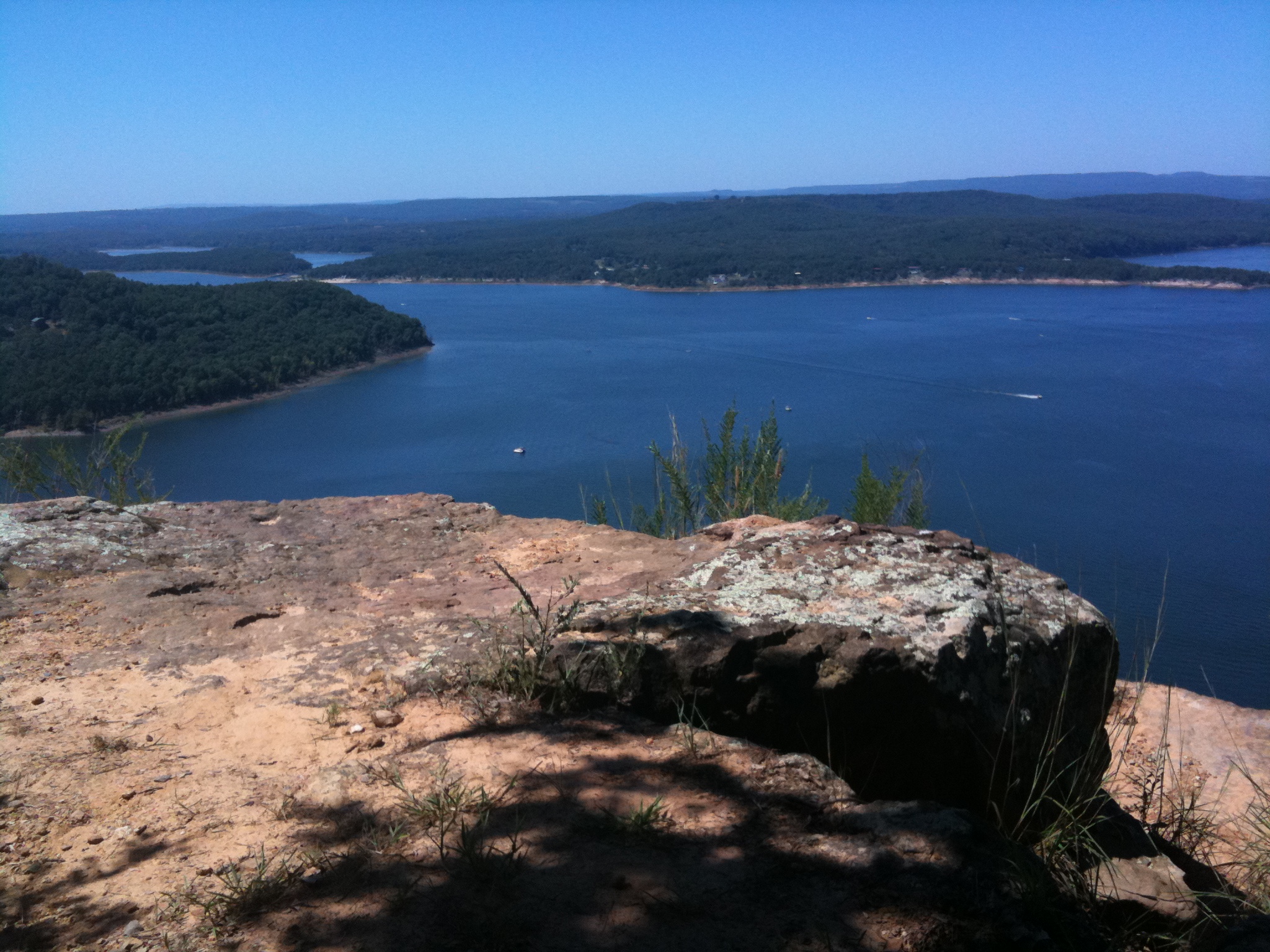
Satellite Map:
Related Photos:

mountain path3

Point/Counterpoint

touch of blue

boat on the lake, leaving a wake

sunset over greers ferry lake from millers point

Swooooosh.

sunset over miller's point

view from millers point

mountain path sunset
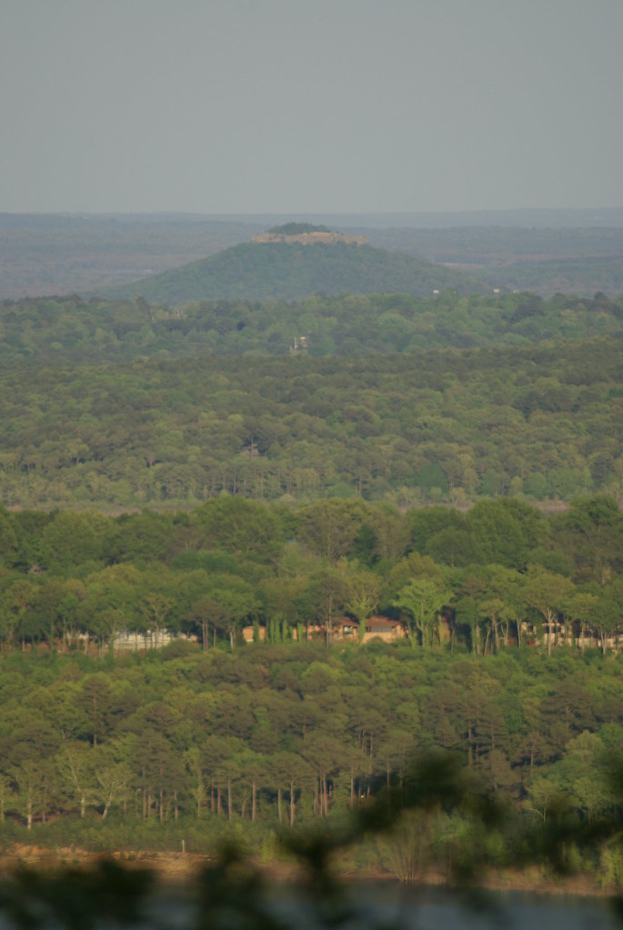
sugarloaf mountain from millers point

#early #morning view of the #courthouse #townsquare in #downtown #clinton #arkansas #igersarkansas
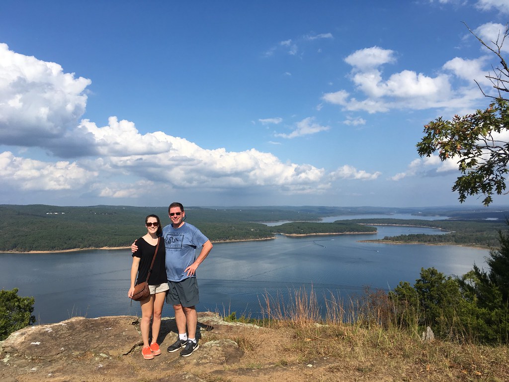
Katie and Matt, Greers Ferry Lake view eastward from Sugar Loaf Island, Arkansas
Fairfield Bay, Arkansas

Paul and view of Greers Ferry Lake east from Sugar Loaf Island, Arkansas
Fairfield Bay, Arkansas

Katie and Matt, Greers Ferry Lake view eastward from Sugar Loaf Island, Arkansas

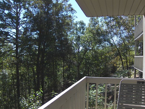
Deck View- Weaver Creek

Pee Dee Creek-Side View

View from the lake house

Greers Ferry Lake Arkansas (8 of 14).jpg

Greer's Ferry Lake Shoreline

AR Trip (34 of 72)

Fairfield Bay Marina

Indian Falls, Wild Horse Canyon

Fairfield Bay Boat Docks

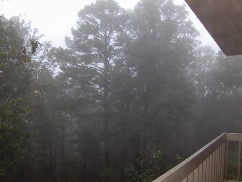
This weekend we took a ferry out on the lake to an mountain/island. It was a perfect opportunity for #whpfoggy

Devil's Fork Sunset
Greer's Ferry Lake

Field Grass

Strange tree
Topographic Map of Overlook Dr, Fairfield Bay, AR, USA
Find elevation by address:

Places near Overlook Dr, Fairfield Bay, AR, USA:
25 Overlook Dr
309 Timber Rd
Fairfield Bay
Dave Creek Pkwy, Fairfield Bay, AR, USA
134 Meadowcliff Cir
165 Wilshire Dr
Indian Rock Township
127 Cedar Valley Rd
165 Pine Knot Rd
168 Dunn Hollow Dr
Ar Hwy S, Shirley, AR, USA
134 Richwood Dr
118 Fairway Dr
112 Hollybrook Rd
103 Rosemont Cir
205 Pine Hill Rd
Boulder Blvd, Shirley, AR, USA
225 Snead Dr
Red River Township
Unnamed Road
Recent Searches:
- Elevation of Côte-des-Neiges, Montreal, QC H4A 3J6, Canada
- Elevation of Bobcat Dr, Helena, MT, USA
- Elevation of Zu den Ihlowbergen, Althüttendorf, Germany
- Elevation of Badaber, Peshawar, Khyber Pakhtunkhwa, Pakistan
- Elevation of SE Heron Loop, Lincoln City, OR, USA
- Elevation of Slanický ostrov, 01 Námestovo, Slovakia
- Elevation of Spaceport America, Co Rd A, Truth or Consequences, NM, USA
- Elevation of Warwick, RI, USA
- Elevation of Fern Rd, Whitmore, CA, USA
- Elevation of 62 Abbey St, Marshfield, MA, USA