Elevation of Meadowcliff Cir, Fairfield Bay, AR, USA
Location: United States > Arkansas > Van Buren County > Indian Rock Township > Fairfield Bay >
Longitude: -92.291414
Latitude: 35.5839479
Elevation: 176m / 577feet
Barometric Pressure: 99KPa
Elevation Map:
Satellite Map:
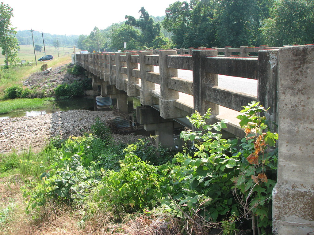
Related Photos:
Fairfield Bay, Arkansas

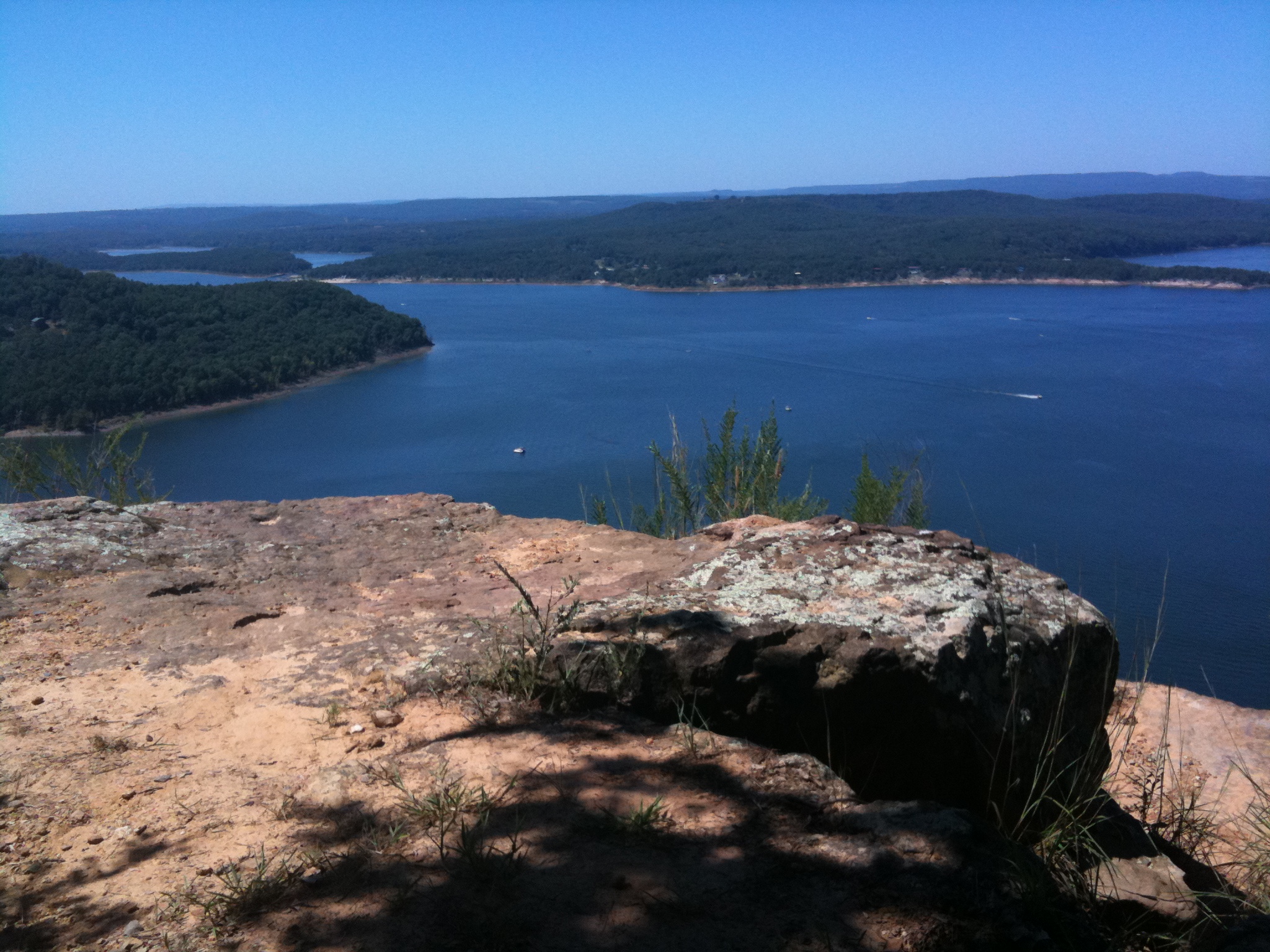
Paul and view of Greers Ferry Lake east from Sugar Loaf Island, Arkansas
Fairfield Bay, Arkansas
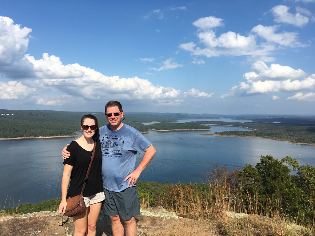
Katie and Matt, Greers Ferry Lake view eastward from Sugar Loaf Island, Arkansas

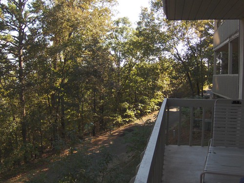
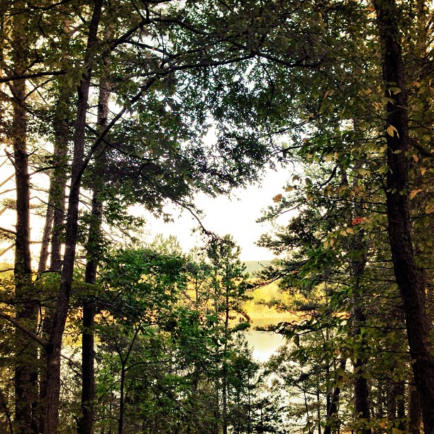
View from the lake house
Deck View- Weaver Creek
Pee Dee Creek-Side View
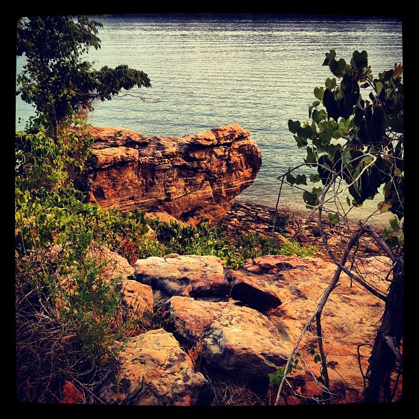
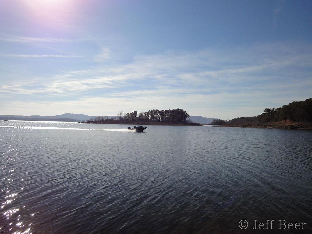
Greer's Ferry Lake Shoreline
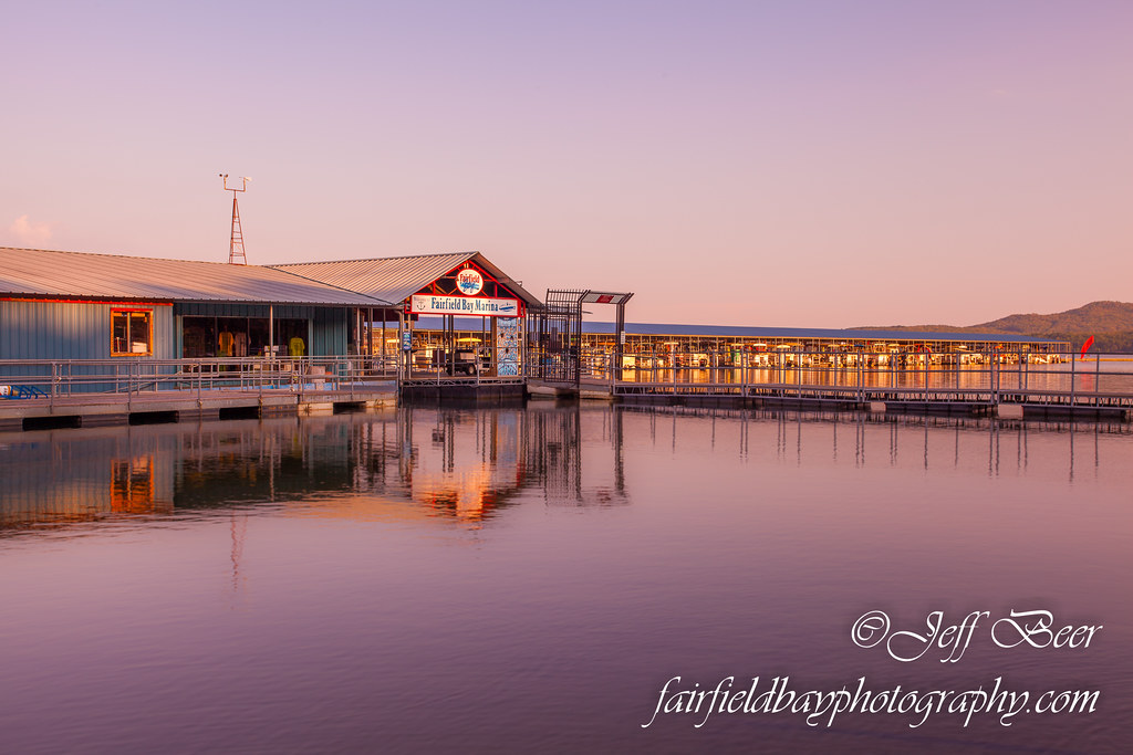
Fairfield Bay Marina
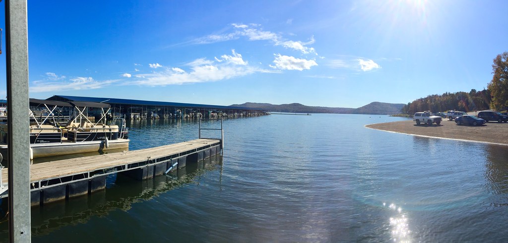
Fairfield Bay Boat Docks
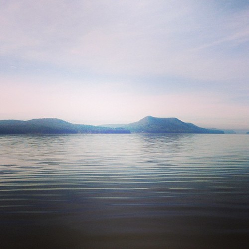
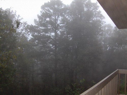
This weekend we took a ferry out on the lake to an mountain/island. It was a perfect opportunity for #whpfoggy
Greers Ferry Lake Arkansas (8 of 14).jpg
Greer's Ferry Lake
Hanging out. :-)
Topographic Map of Meadowcliff Cir, Fairfield Bay, AR, USA
Find elevation by address:

Places near Meadowcliff Cir, Fairfield Bay, AR, USA:
309 Timber Rd
127 Cedar Valley Rd
103 Overlook Dr
25 Overlook Dr
Ar Hwy S, Shirley, AR, USA
Fairfield Bay
Dave Creek Pkwy, Fairfield Bay, AR, USA
165 Wilshire Dr
Indian Rock Township
165 Pine Knot Rd
168 Dunn Hollow Dr
118 Fairway Dr
Boulder Blvd, Shirley, AR, USA
134 Richwood Dr
112 Hollybrook Rd
Red River Township
103 Rosemont Cir
205 Pine Hill Rd
225 Snead Dr
Unnamed Road
Recent Searches:
- Elevation of Jalan Senandin, Lutong, Miri, Sarawak, Malaysia
- Elevation of Bilohirs'k
- Elevation of 30 Oak Lawn Dr, Barkhamsted, CT, USA
- Elevation of Luther Road, Luther Rd, Auburn, CA, USA
- Elevation of Unnamed Road, Respublika Severnaya Osetiya — Alaniya, Russia
- Elevation of Verkhny Fiagdon, North Ossetia–Alania Republic, Russia
- Elevation of F. Viola Hiway, San Rafael, Bulacan, Philippines
- Elevation of Herbage Dr, Gulfport, MS, USA
- Elevation of Lilac Cir, Haldimand, ON N3W 2G9, Canada
- Elevation of Harrod Branch Road, Harrod Branch Rd, Kentucky, USA