Elevation of Richfield, NC, USA
Location: United States > North Carolina > Stanly County > Harris >
Longitude: -80.257834
Latitude: 35.4701406
Elevation: 197m / 646feet
Barometric Pressure: 99KPa
Elevation Map:
Satellite Map:
Related Photos:
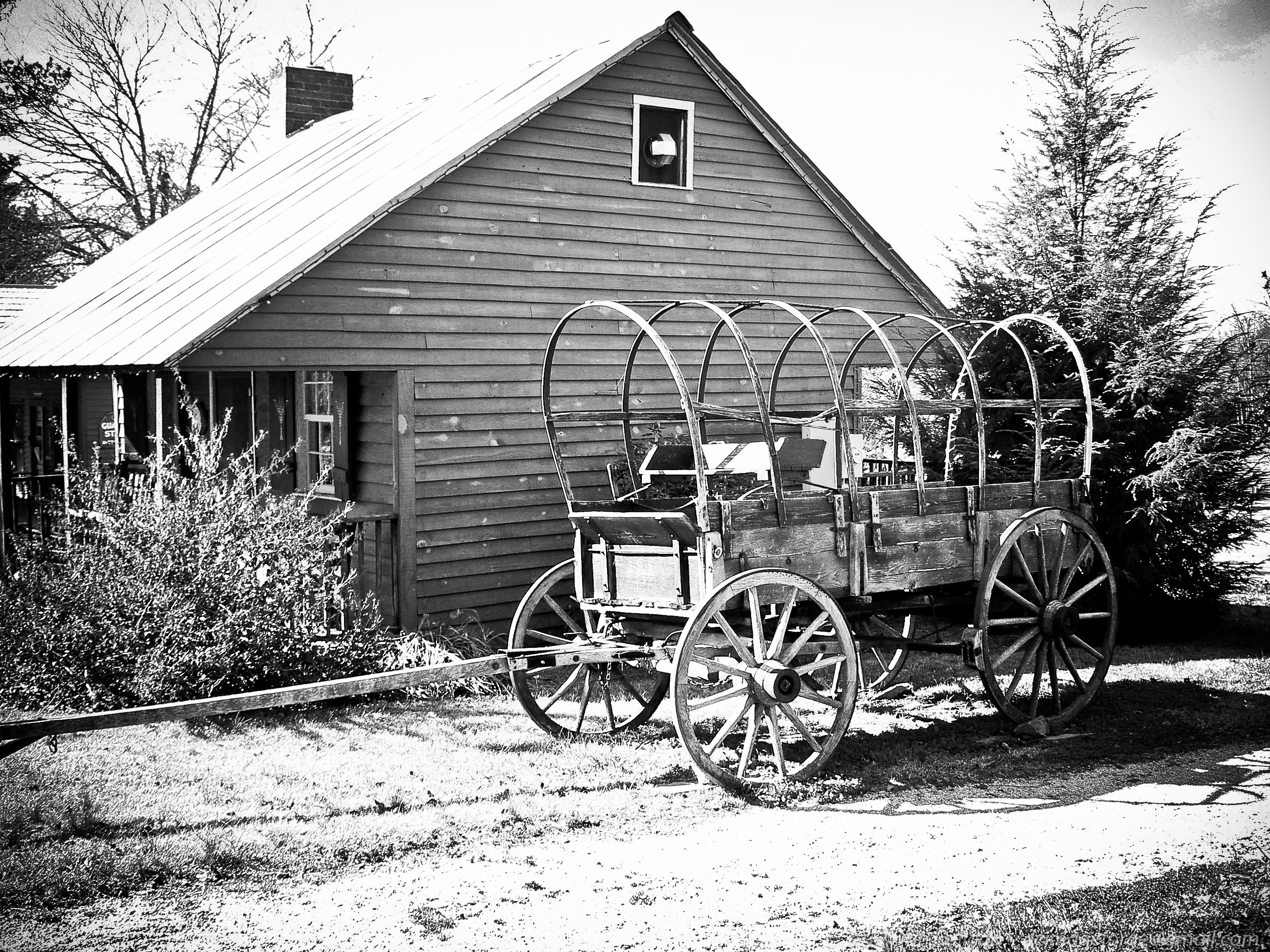
End of the Trail //
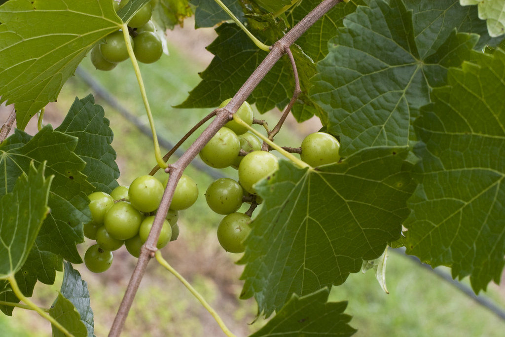
Uwharrie Vineyards-Survived The Harvest
Enjoying the View...
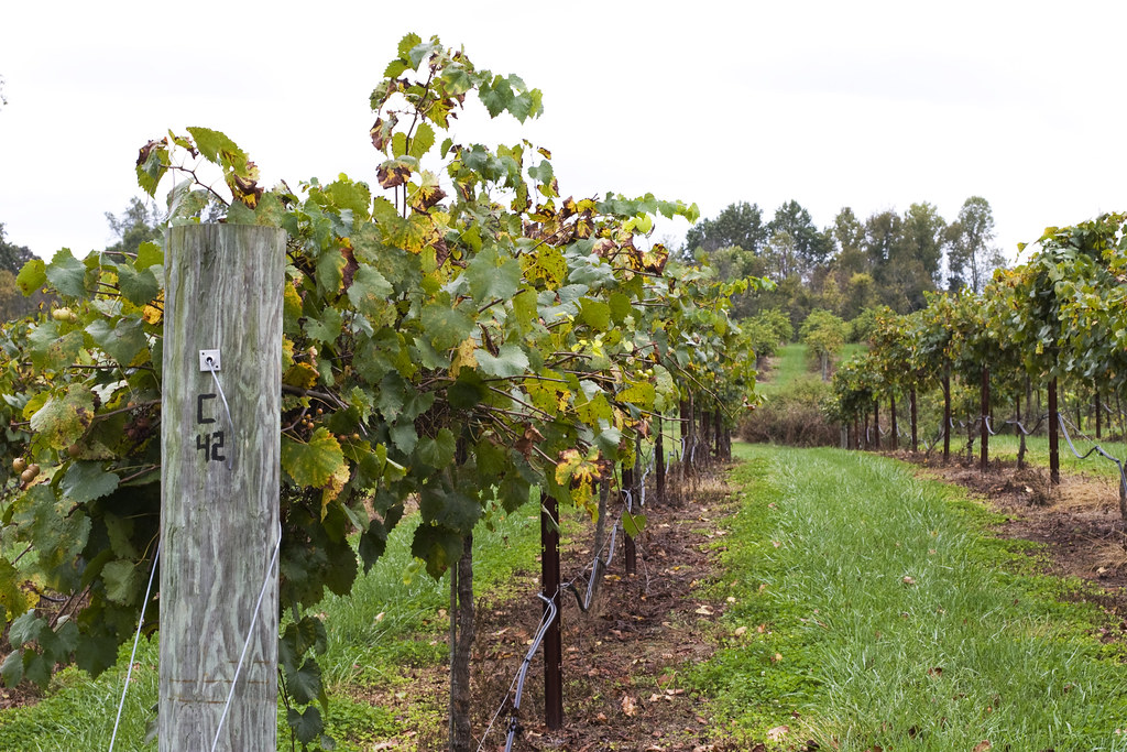
Uwharrie Vineyards 4
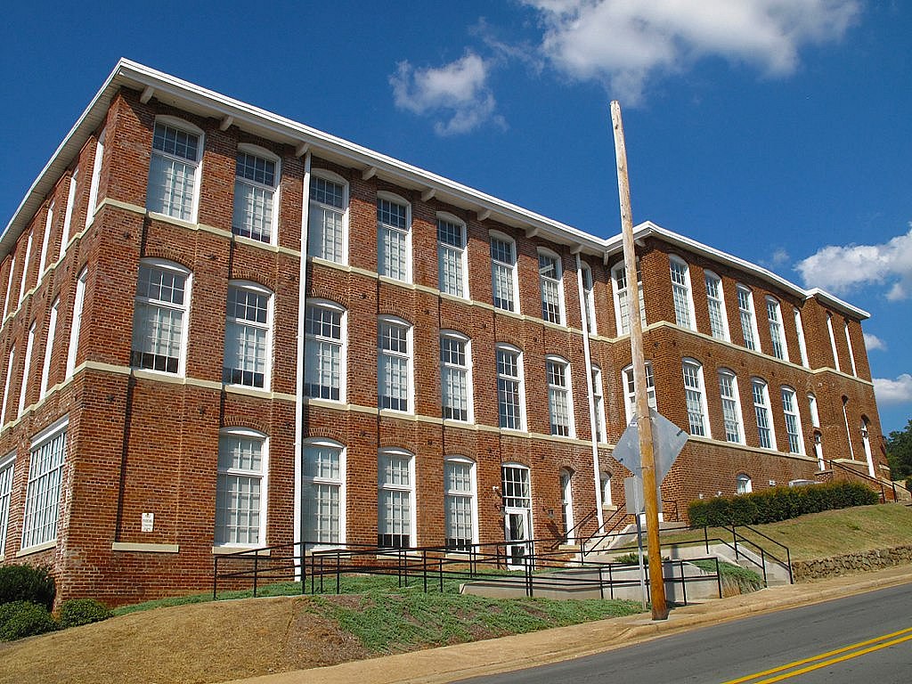
RED BRICKS AND BLUE SKY
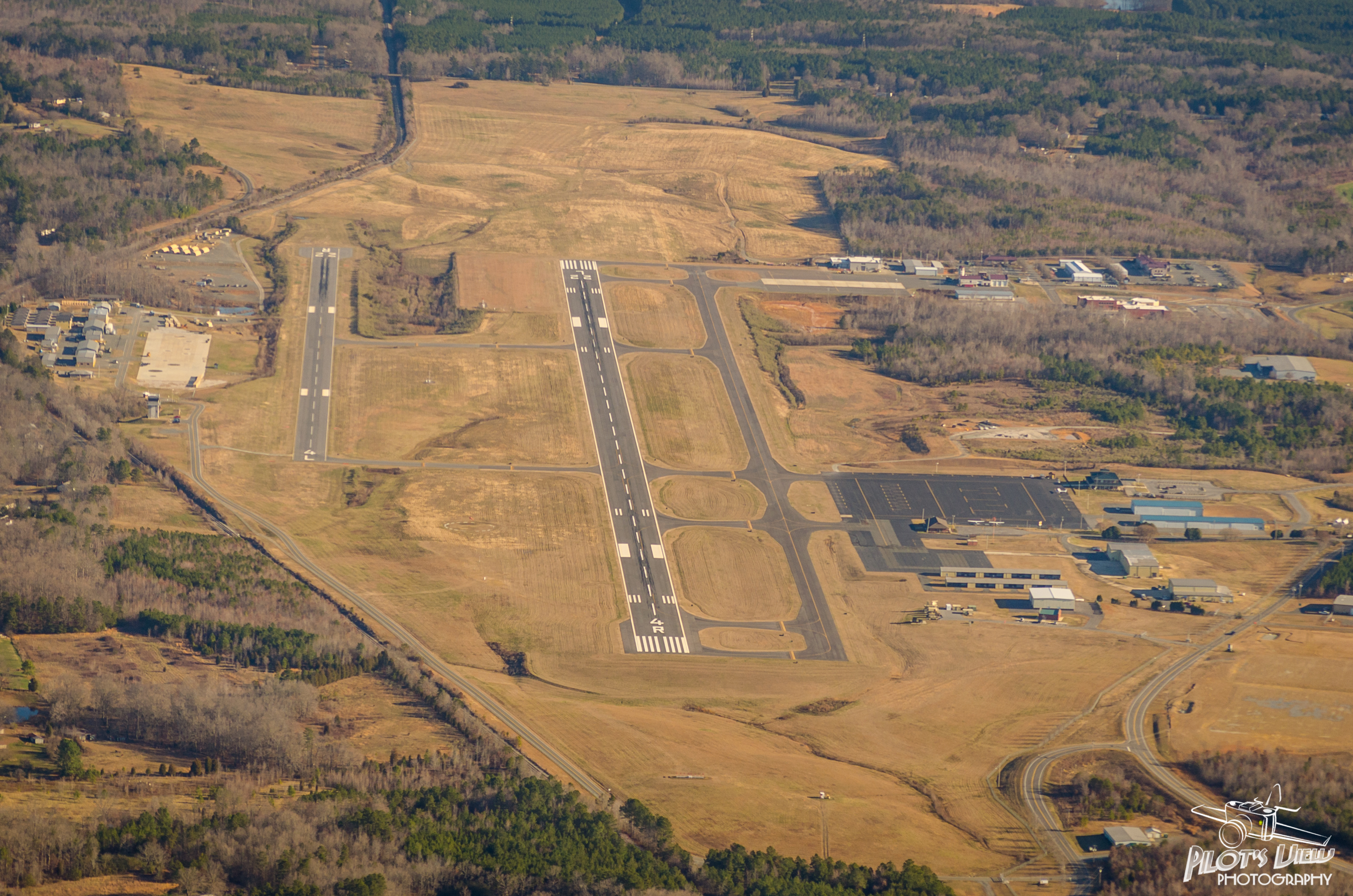
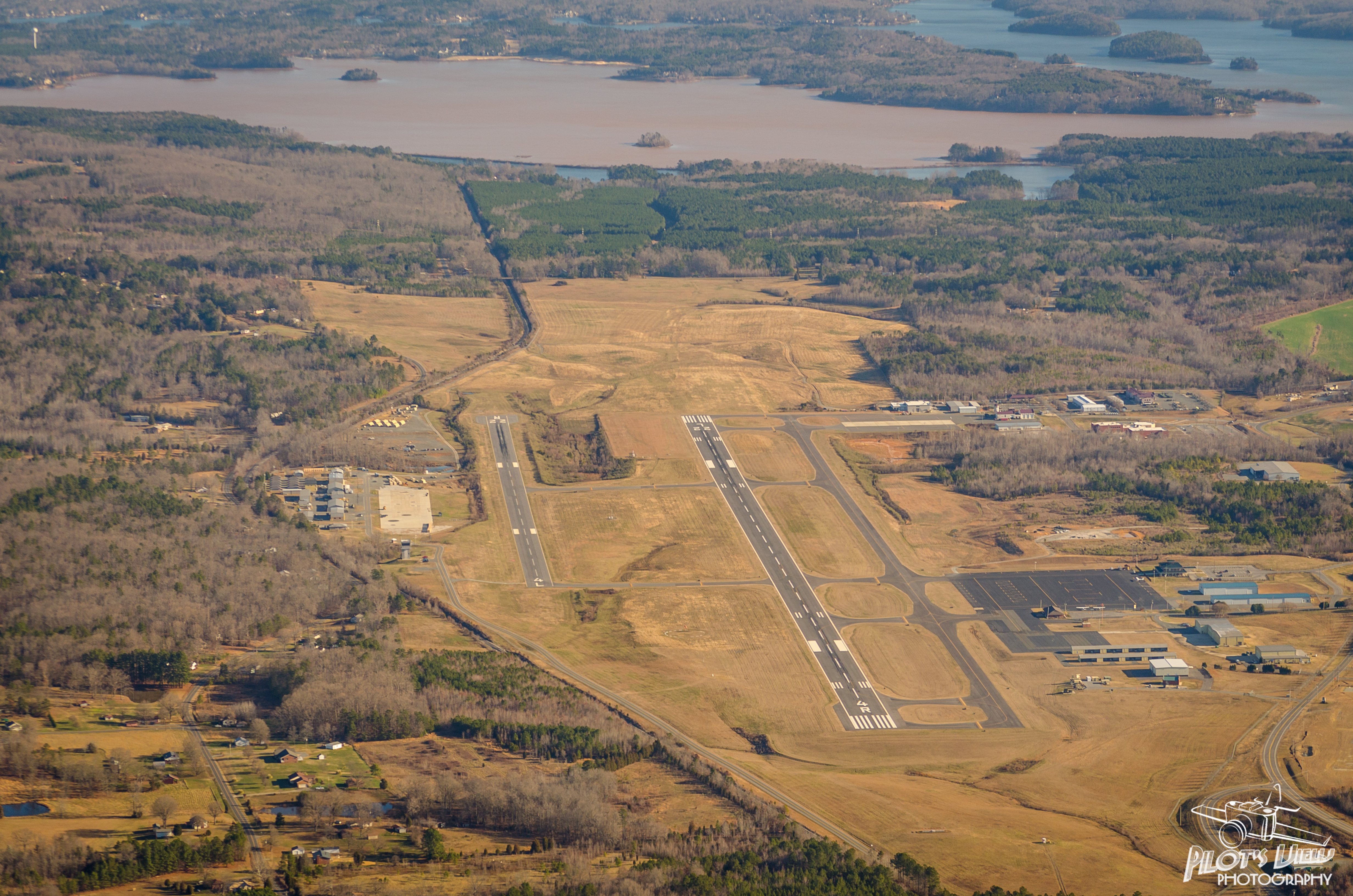
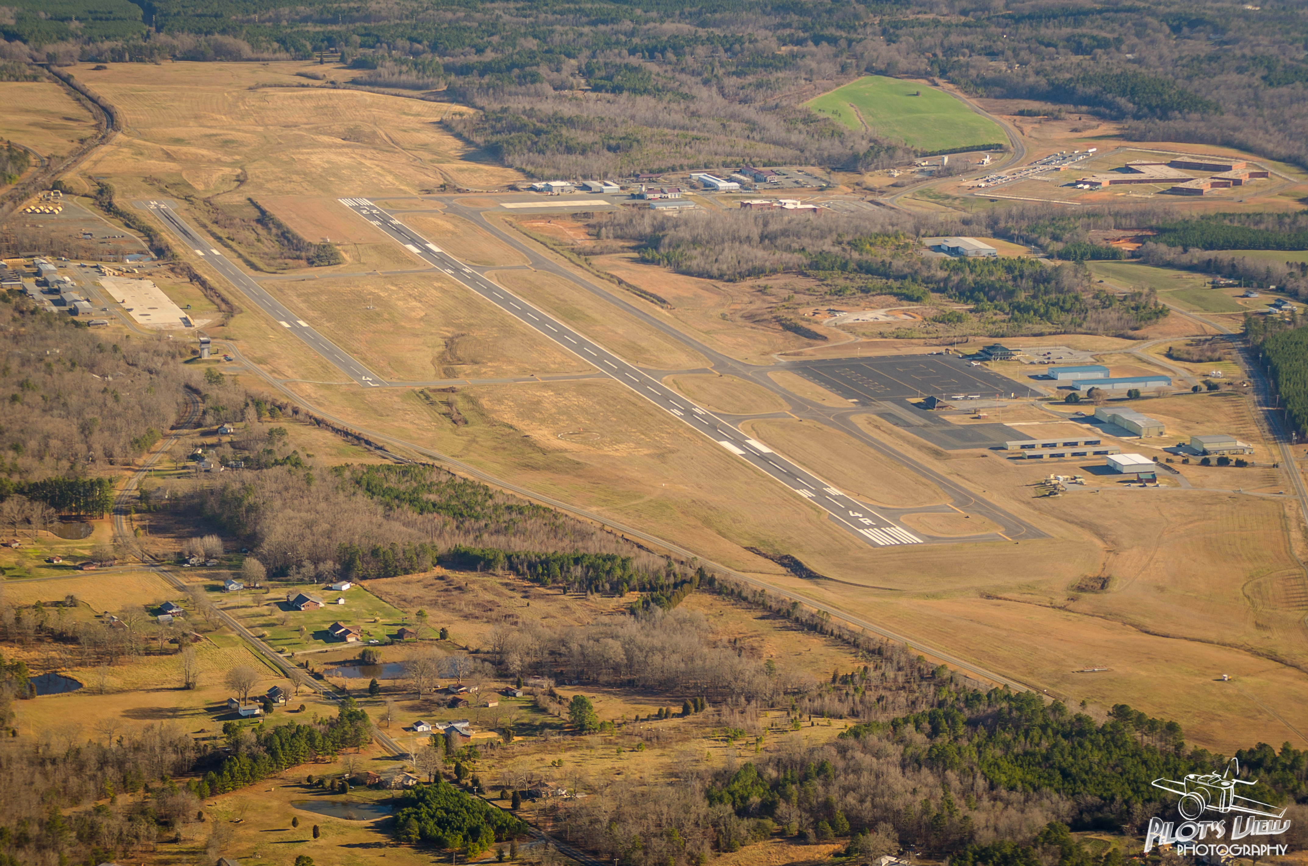
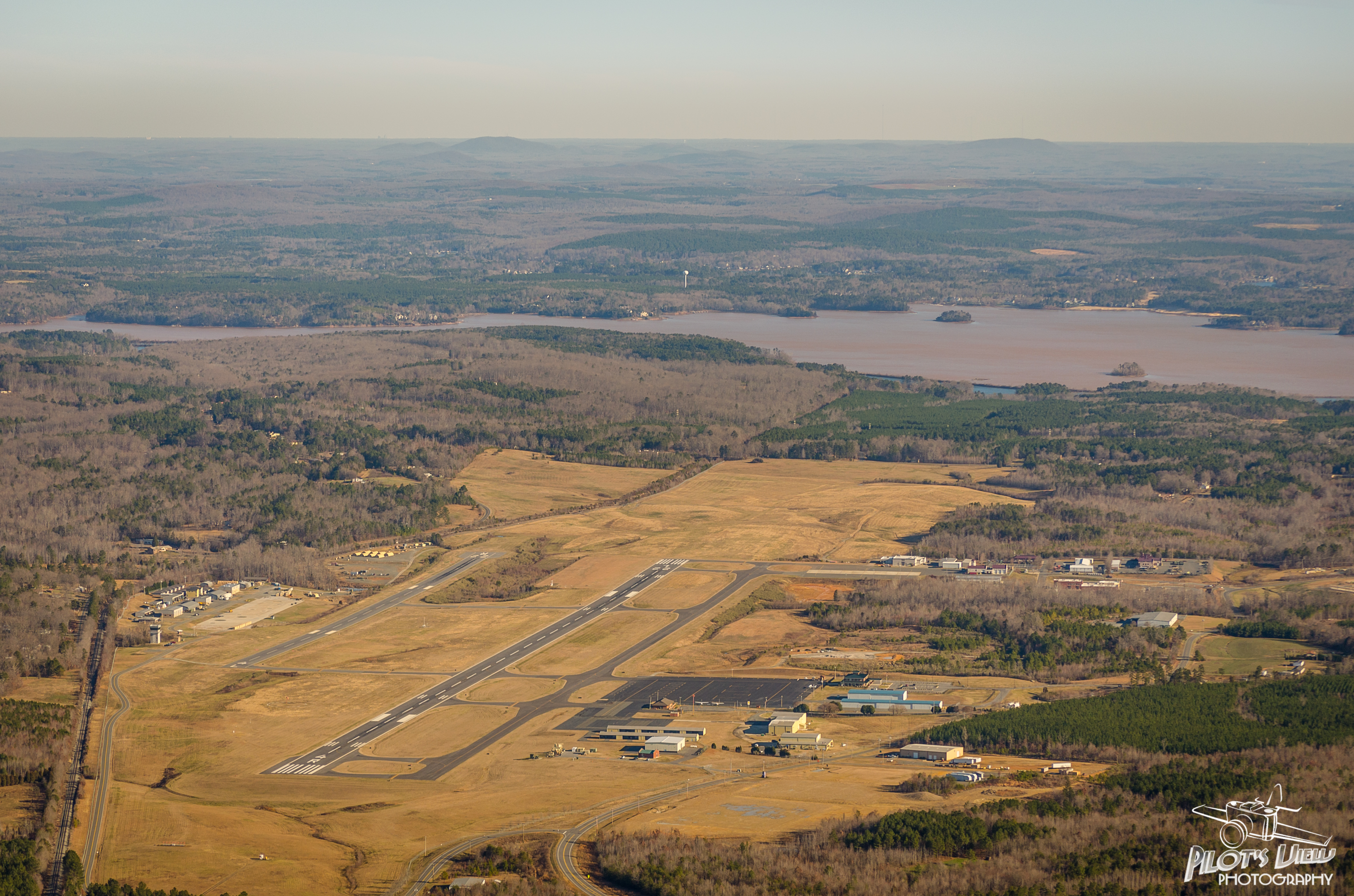
KVUJ Aerial PVP 2013-2
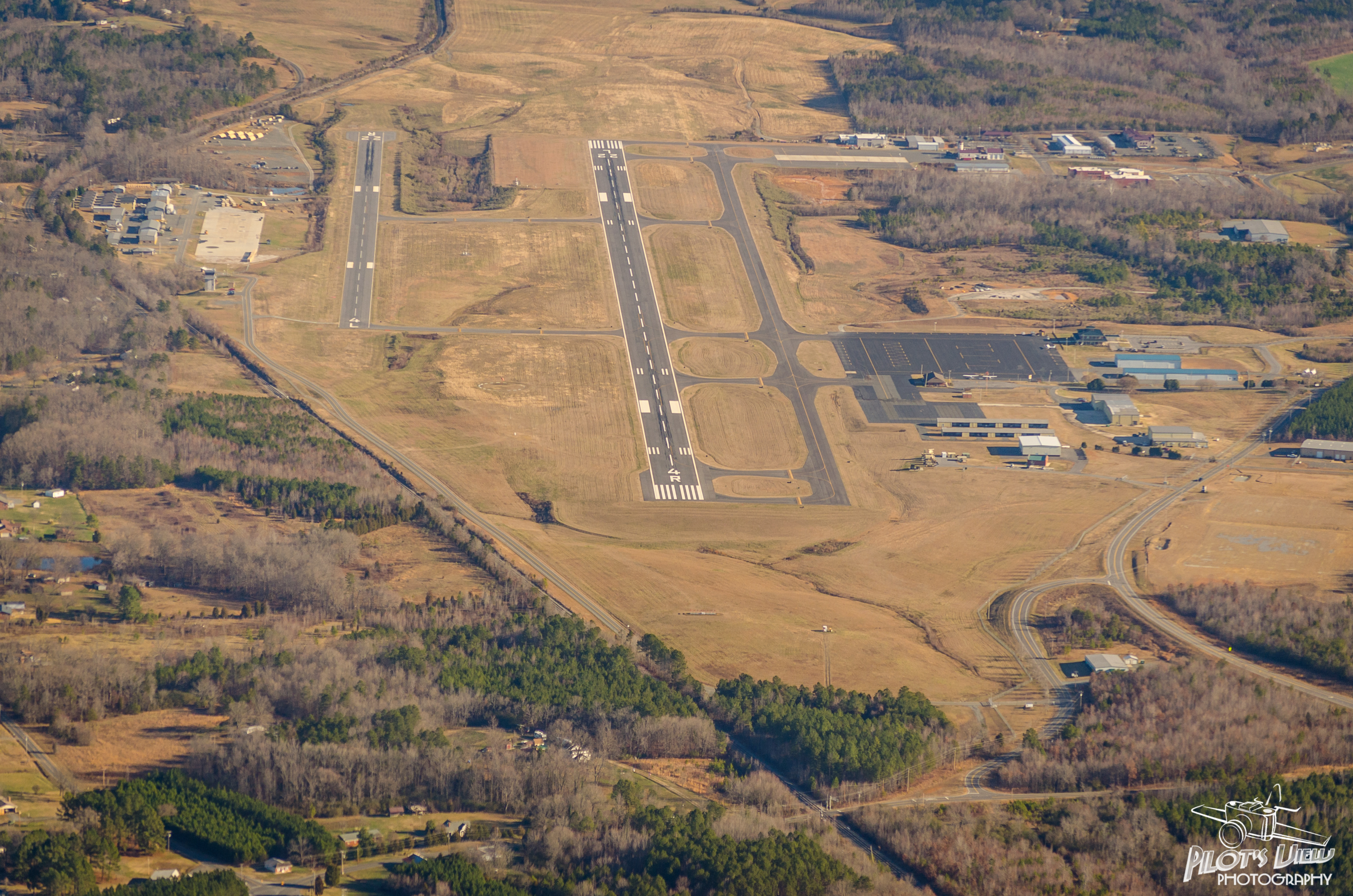
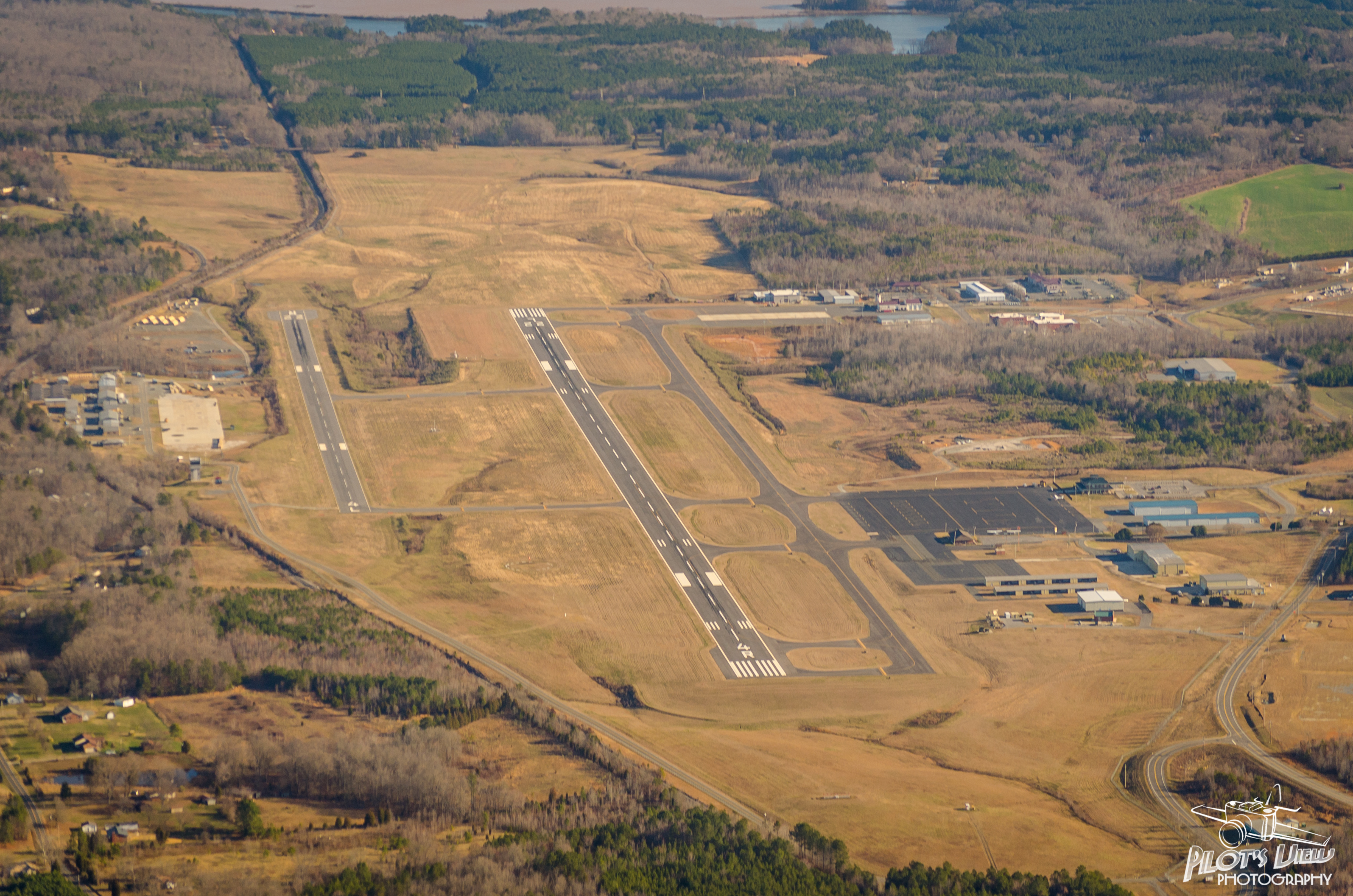
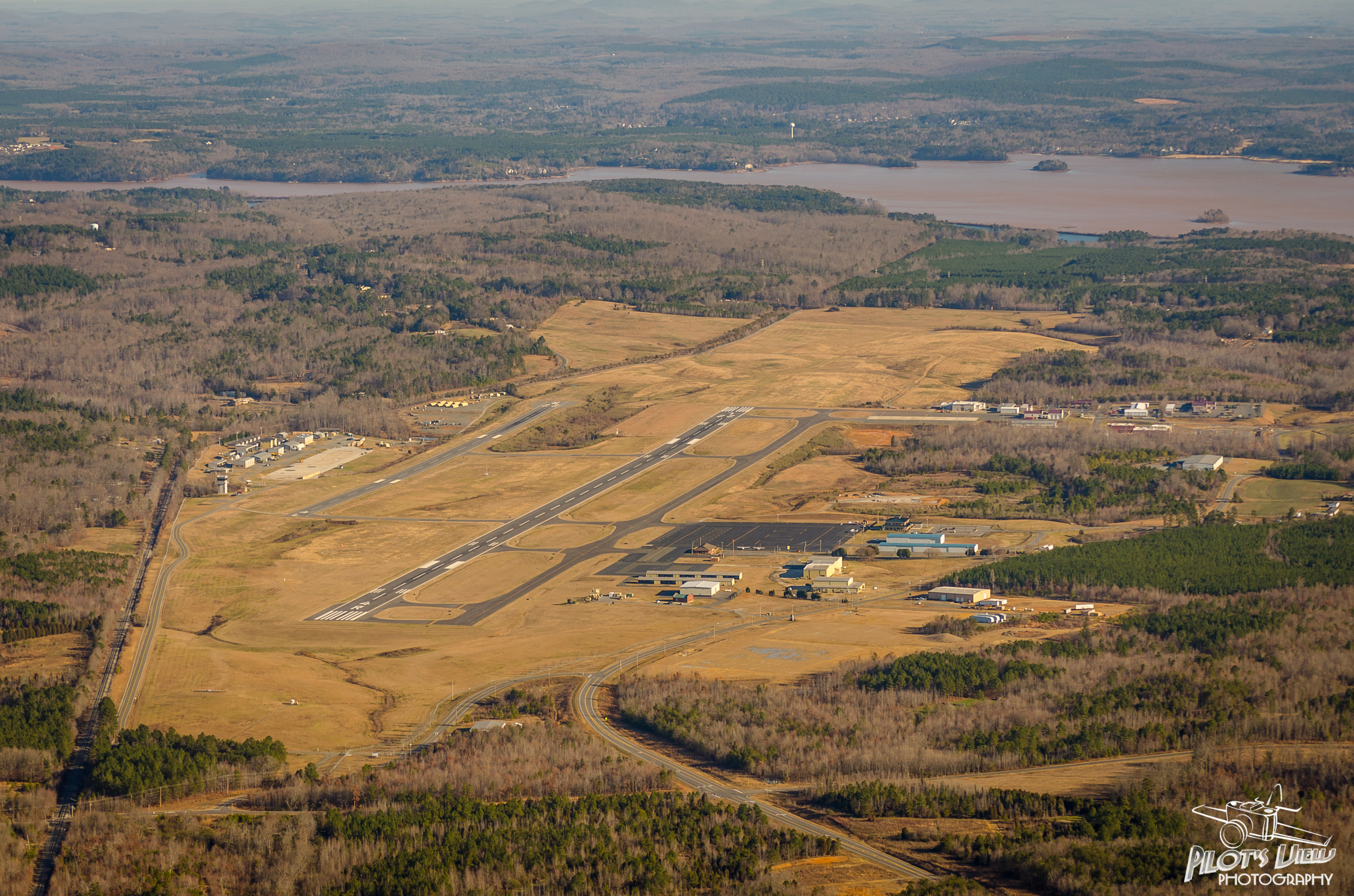
KVUJ Aerial PVP 2013-1

pre siesta view
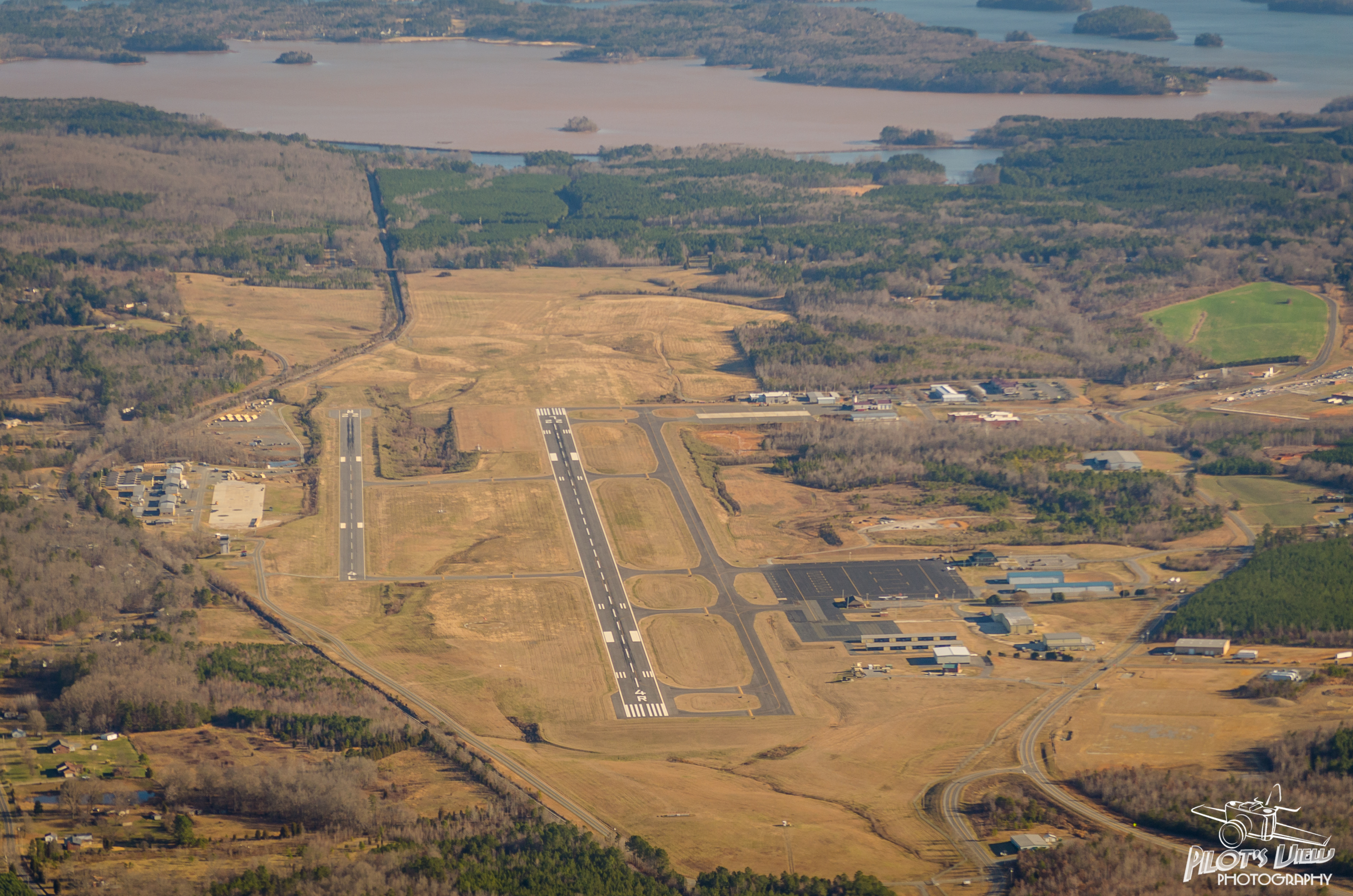
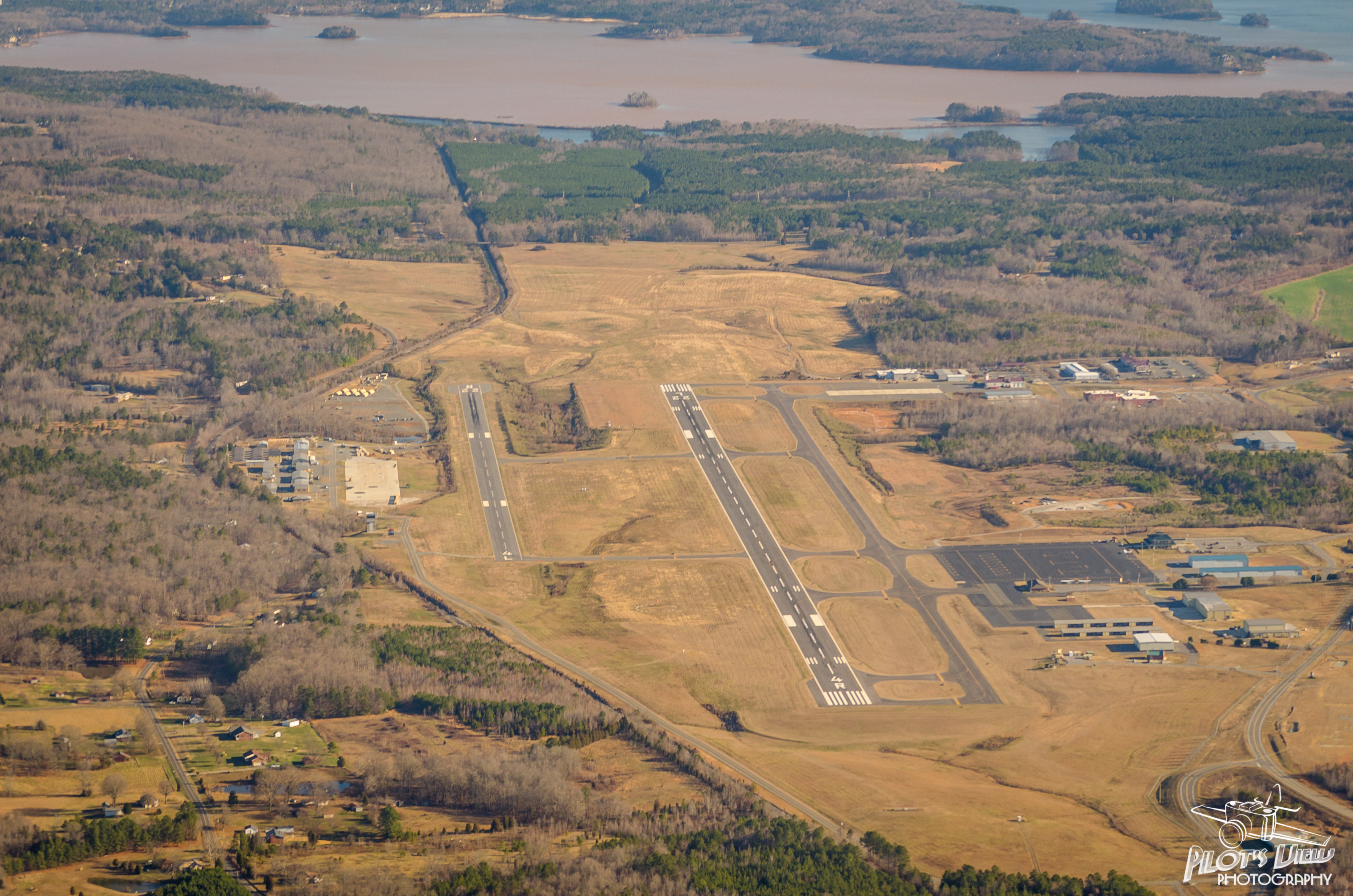
KVUJ Aerial PVP 2013-3

KVUJ Aerial PVP 2013-4
KVUJ Aerial PVP 2013-6
KVUJ Aerial PVP 2013-7
KVUJ Aerial PVP 2013-5
Just sittin' there
KVUJ Aerial PVP 2013-10

KVUJ Aerial PVP 2013-8
KVUJ Aerial PVP 2013-11
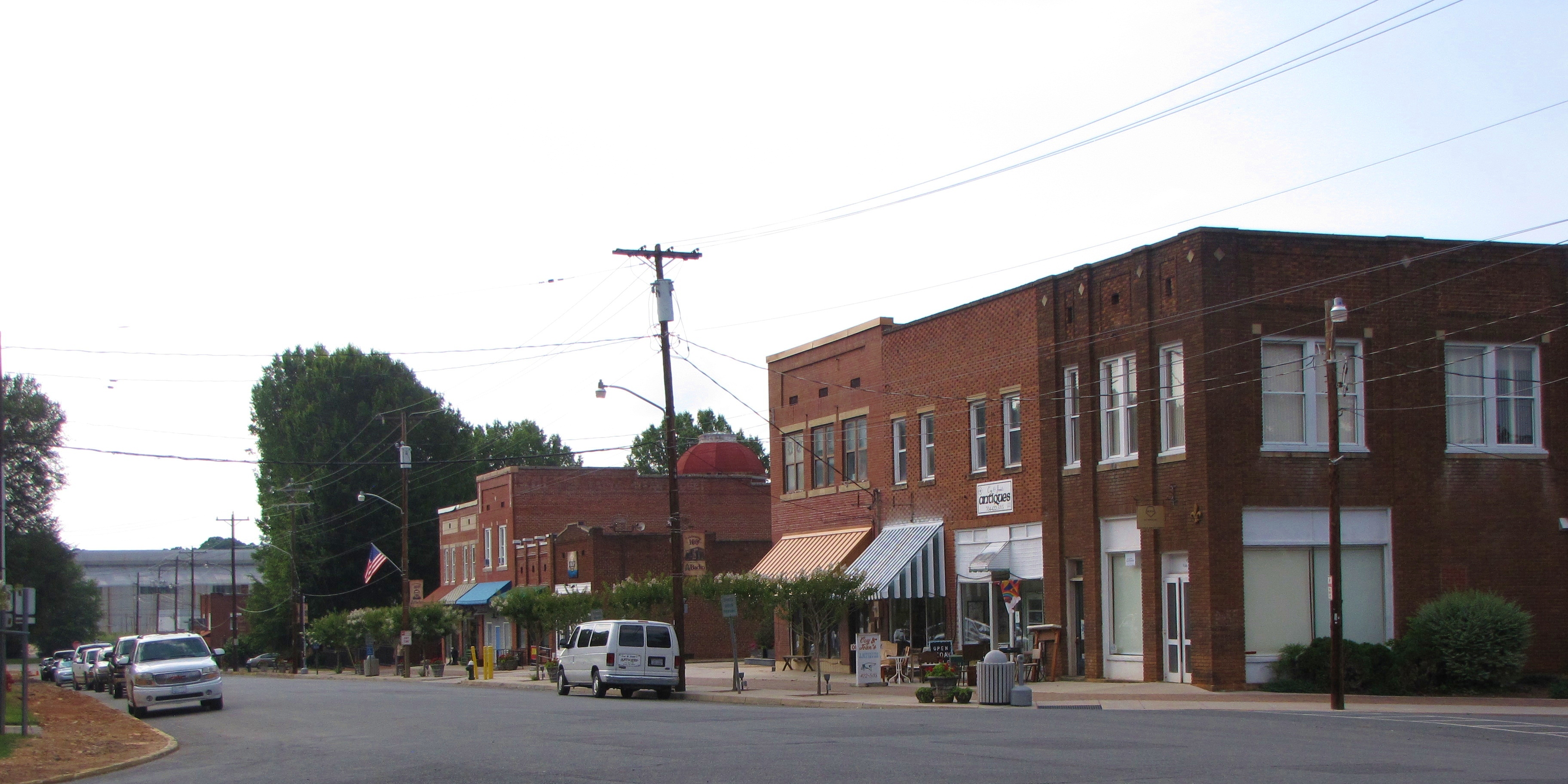
Downtown Badin, NC
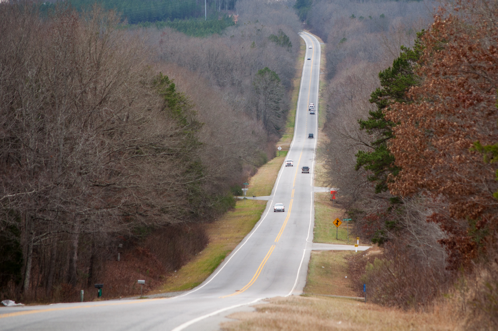
Uwharrie Scenic Road
KVUJ Aerial PVP 2013-12

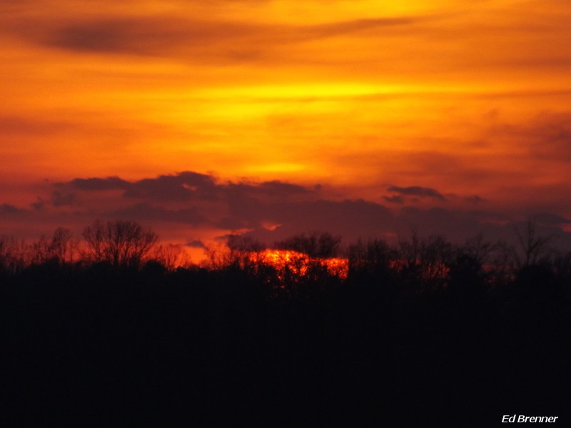
Autumn Gold

One Boat Pond
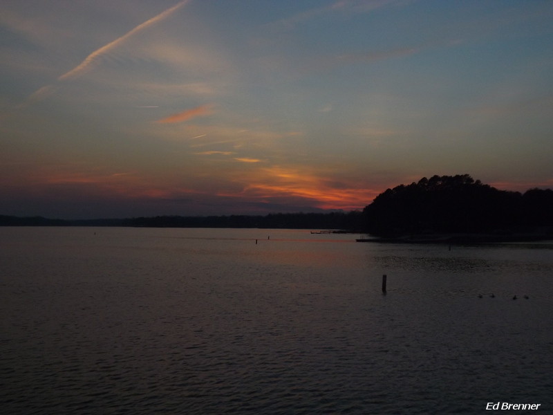
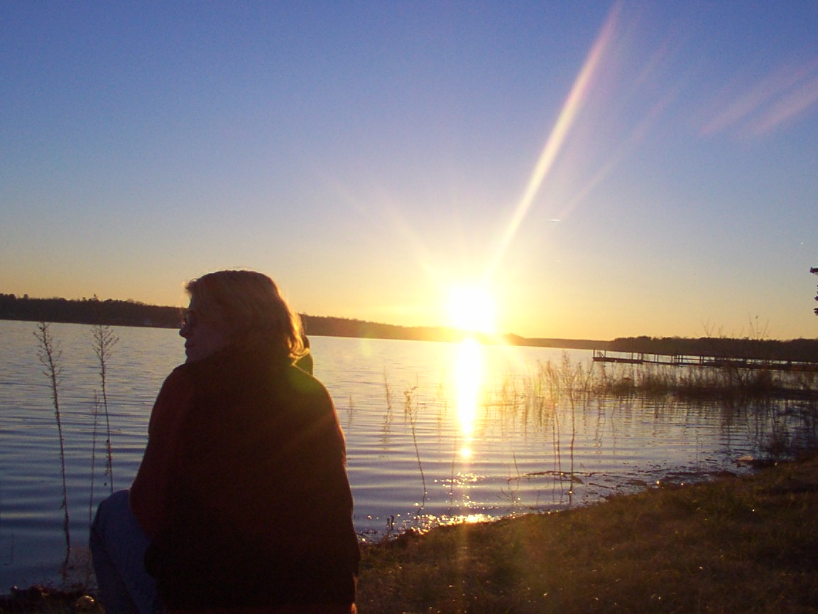
Sunset on High Rock Lake

Barringer's Farm
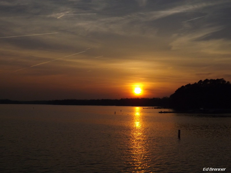
Sunset on High Rock Lake
Sunset on High Rock Lake
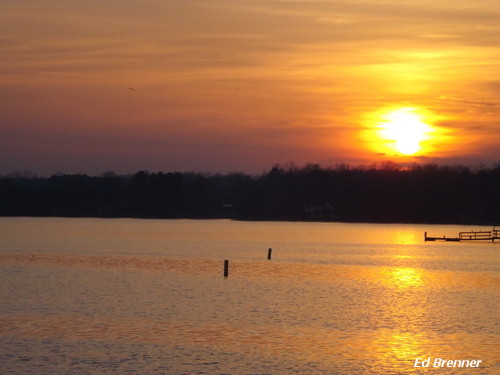
Sunset on High Rock Lake
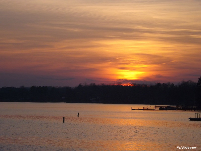
Sunset on High Rock Lake
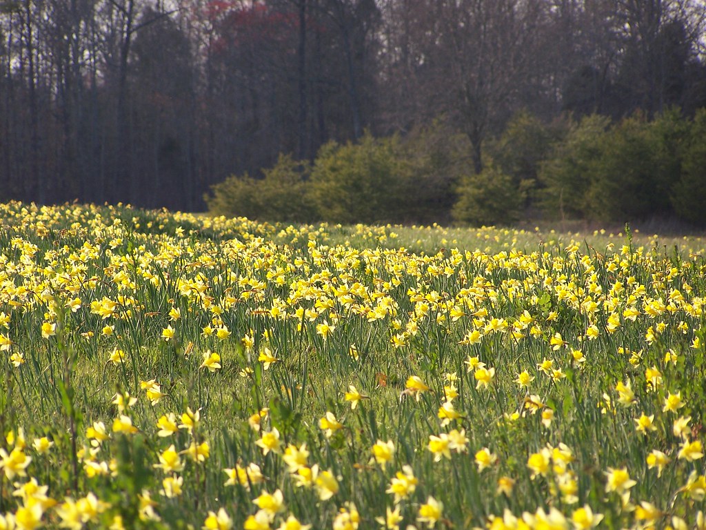
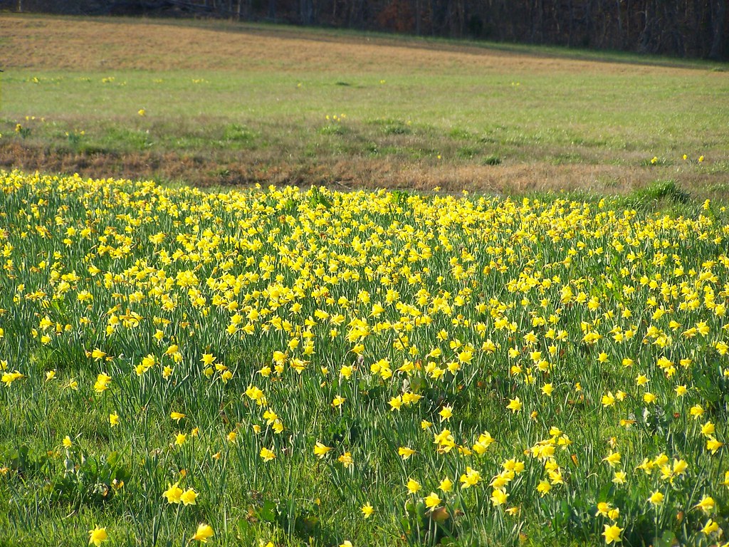
Daffodil Field
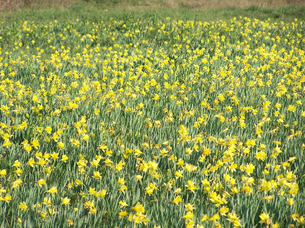
Daffodil Field 2
Daffodil Field 5
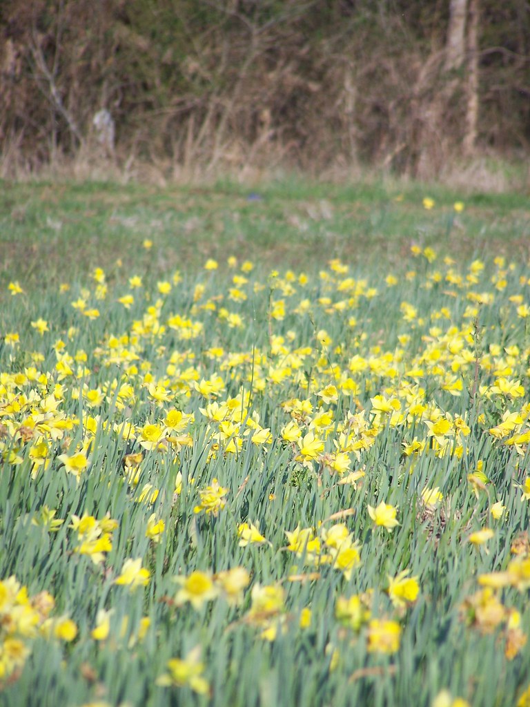
Daffodil Field 6
Topographic Map of Richfield, NC, USA
Find elevation by address:

Places near Richfield, NC, USA:
28824 Misenheimer Rd
Misenheimer
Wesley Chapel Rd, Richfield, NC, USA
New London
Harris
Highland Baptist Church
181 Random Dr
Ridenhour
44085 Nc-740
4060 Thee Promised Way
Holt Rd, Albemarle, NC, USA
40475 Tower Rd
Uwharrie Vineyards & Winery
Meadowrock Dr, Albemarle, NC, USA
40400 Tower Rd
40344 Tower Rd
44018 Mountain Creek Rd
NC-73, Albemarle, NC, USA
Elaine Dr, Albemarle, NC, USA
NC-73, Albemarle, NC, USA
Recent Searches:
- Elevation of Congressional Dr, Stevensville, MD, USA
- Elevation of Bellview Rd, McLean, VA, USA
- Elevation of Stage Island Rd, Chatham, MA, USA
- Elevation of Shibuya Scramble Crossing, 21 Udagawacho, Shibuya City, Tokyo -, Japan
- Elevation of Jadagoniai, Kaunas District Municipality, Lithuania
- Elevation of Pagonija rock, Kranto 7-oji g. 8"N, Kaunas, Lithuania
- Elevation of Co Rd 87, Jamestown, CO, USA
- Elevation of Tenjo, Cundinamarca, Colombia
- Elevation of Côte-des-Neiges, Montreal, QC H4A 3J6, Canada
- Elevation of Bobcat Dr, Helena, MT, USA