Elevation of Random Dr, Badin, NC, USA

Location: United States > North Carolina > Stanly County > Harris >

Longitude: -80.212728

Latitude: 35.4189513

Elevation: -10000m / -32808feet

Barometric Pressure: 295KPa

Elevation Map:

elevation map of Random Dr, Badin, NC, USA

Satellite Map:

Satellite map of Random Dr, Badin, NC, USA

Related Photos:

color macro nature closeup bug insect interestingness colorful dof fuzzy bokeh moth caterpillar explore tussock tussockmothcaterpillar i500 interestingness271 morrowmountain bokehsoniceoctober bokehsoniceoctober25
Another Look at the Tussock Caterpillar
green bug mantis insect interestingness dof bokeh praying explore utata prayingmantis mantid interestingness254 i500 utatathursdaywalk utatathursdaywalk25 animalkingdomelite
Posing Mantis
statepark park girls mountain nature kids children landscape ilovenature nc scenery view state north northcarolina scene geotag stanlycounty morrowmountain
"It's so beautiful!"
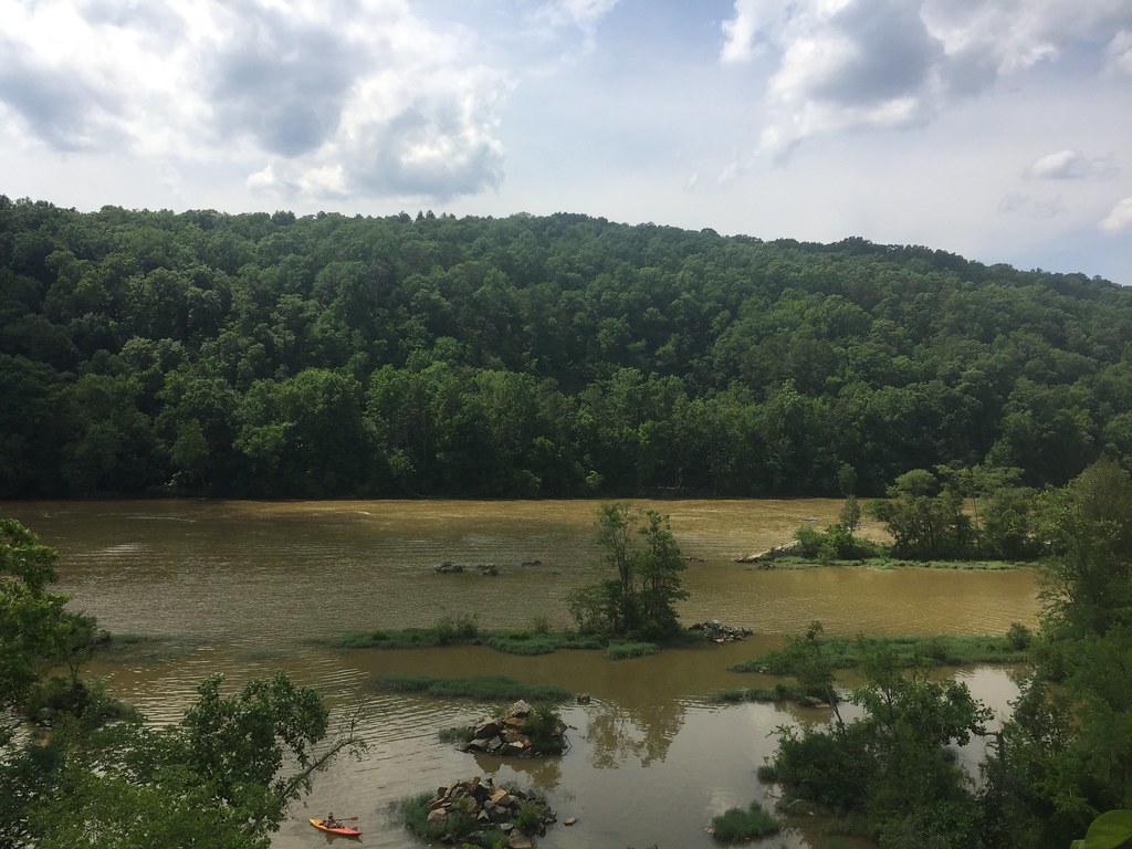
trees water concrete nc rocks dam northcarolina falls laketillery stanlycounty morrowmountainstatepark uwharriemountains davidhopkinsphotography ncpedia
Falls Dam
street cars downtown northcarolina piedmont smalltown alcoa badin stanlycounty smalltownnorthcarolina fallsdrive downtownbadin gerrydincher
Downtown Badin, NC
morrowmountainstatepark stanlycounty northcarolina northcarolinadepartmentofparksandrecreation northcarolinastateparks statepark tourism summervacation summer recreation uwharriemountains piedmont overlook scenicvista scenicview gerrydincher
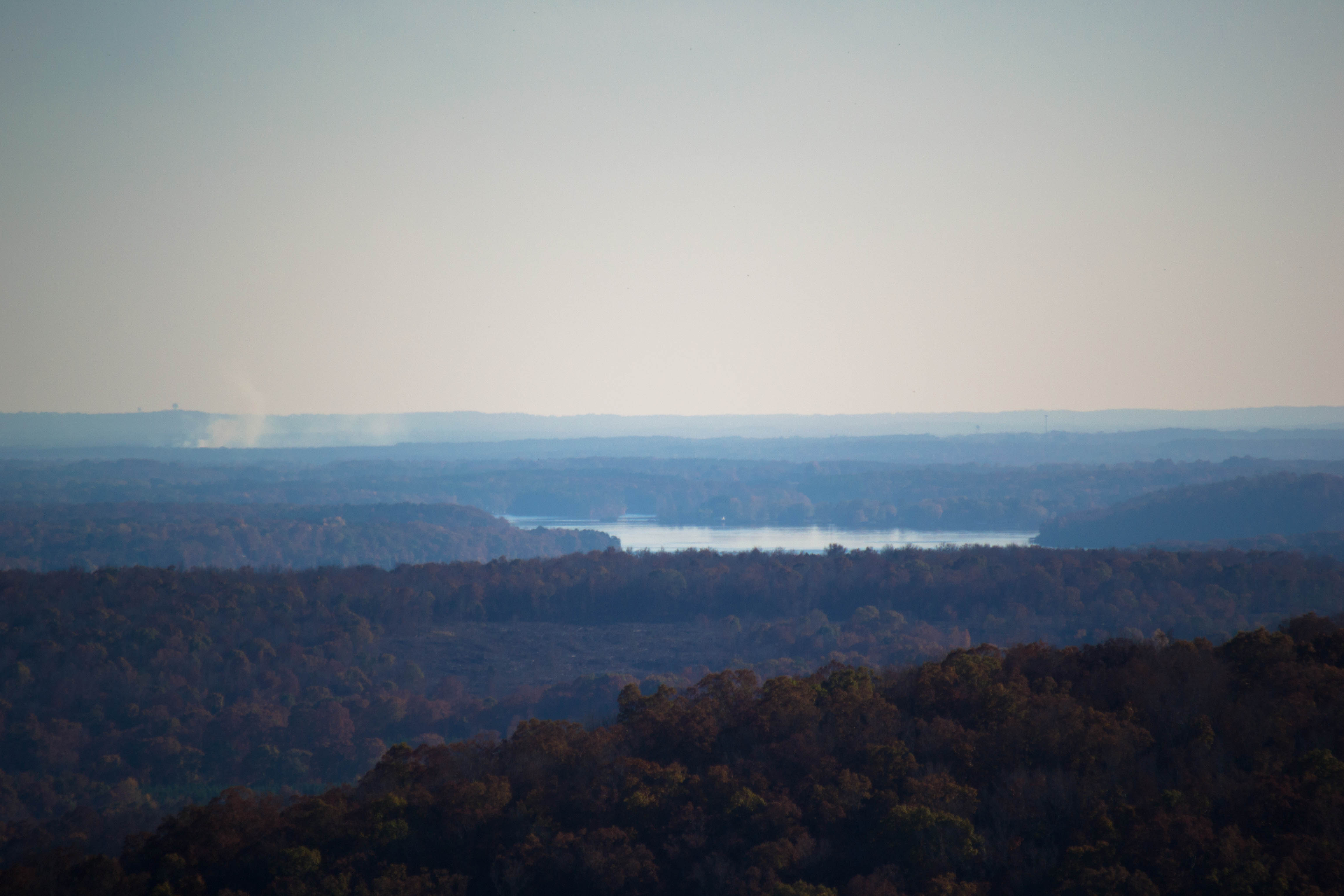
Morrow Mountain State Park overlook
View from the cliff above the waterfall
mist lake mountains fall water fog nc tillery uwharrie woodrun
Lake Tillery from Woodrun DSC_2147 c e
county airport view aerial pilots stanly pilotview kvuj kvujstanlycountyairportvujaerial
KVUJ Aerial PVP 2013-2
autumn light sunset shadow sunlight color fall nature leaves yellow gold golden leaf colorful searchthebest bokeh pair utata atsunset fall2006 utatathursdaywalk utatathursdaywalk31
Autumn Gold
Uwharrie Vineyards-Survived The Harvest
nc hiking northcarolina fallsdam laketillery stanlycounty morrowmountainstatepark davidhopkinsphotography ncpedia
Falls Dam Close Up
trees mountains green bird manipulated project landscape geotagged flying inflight nc interestingness big high interesting pattern view cows eagle map path flight large northcarolina scene location hills explore clones utata huge neat clone geotag midflight geo:lat=35352 top20birdshots interestingness470 i500 stanlycounty morrowmountain top20clonepics getcommentsonyourphotoshopart utataview geo:lon=80093787
Flight of the Eagle
county airport view aerial pilots stanly pilotview kvuj kvujstanlycountyairportvujaerial
KVUJ Aerial PVP 2013-3
county airport view aerial pilots stanly pilotview kvuj kvujstanlycountyairportvujaerial
KVUJ Aerial PVP 2013-4
county airport view aerial pilots stanly pilotview kvuj kvujstanlycountyairportvujaerial
KVUJ Aerial PVP 2013-6
northcarolinahighwaypatrol newlondonnorthcarolina
Just sittin' there
rural bicycling northcarolina morrowmountain morrowmountainstatepark uwharrienationalforest stanleycountynorthcarolina assaultonmorrowmountain
Capturing the Moment
rural bicycling northcarolina morrowmountain morrowmountainstatepark uwharrienationalforest stanleycountynorthcarolina assaultonmorrowmountain
Heading for the summit waterbreak
rural bicycling north carolina morrowmountain morrowmountainstatepark uwharrienationalforest stanleycountynorthcarolina assaultonmorrowmountain
Heading back down the mountain
explorer fathersday aperitive aperitivephotography
Now that it's all over, what did you really do yesterday that's worth mentioning?
blue trees sky green colors field yellow rural nc interestingness interesting country meadow northcarolina hills clear explore crisp pasture albemarle interestingness291 i500 stanlycounty albemarlenc
Yellow Field on McNeil Road
morrowmountainstatepark stanlycounty northcarolina northcarolinadepartmentofparksandrecreation northcarolinastateparks statepark tourism summervacation summer recreation picnicarea picnic uwharriemountains piedmont gerrydincher
Morrow Mountain State Park picnic area (2)
county airport view aerial pilots stanly pilotview kvuj kvujstanlycountyairportvujaerial
KVUJ Aerial PVP 2013-11
picnik
The lake from the campsite
unitedstates northcarolina albemarle
IMG_4443-Edit-Edit
statepark nc morrowmt
Bluets Morrow Mt SP NC 1109
statepark nc morrowmt
Morrow Mt SP NC 1116
water field pond unitedstates farm northcarolina oldbuildings hdr lightroom goldhill photomatix
Barringer's Farm
statepark nc morrowmt
Morrow Mt SP NC 1056
unitedstates northcarolina albemarle
20141115-DSC_4781
unitedstates northcarolina albemarle
20141115-DSC_4780
statepark nc morrowmt
River Oak Morrow Mt SP NC 1059
unitedstates northcarolina albemarle
20141115-DSC_4818
statepark nc morrowmt
Morrow Mt SP NC 1147