Elevation of Misenheimer, NC, USA
Location: United States > North Carolina > Stanly County > Ridenhour >
Longitude: -80.288390
Latitude: 35.4848625
Elevation: 204m / 669feet
Barometric Pressure: 99KPa
Elevation Map:
Satellite Map:
Related Photos:

013/366
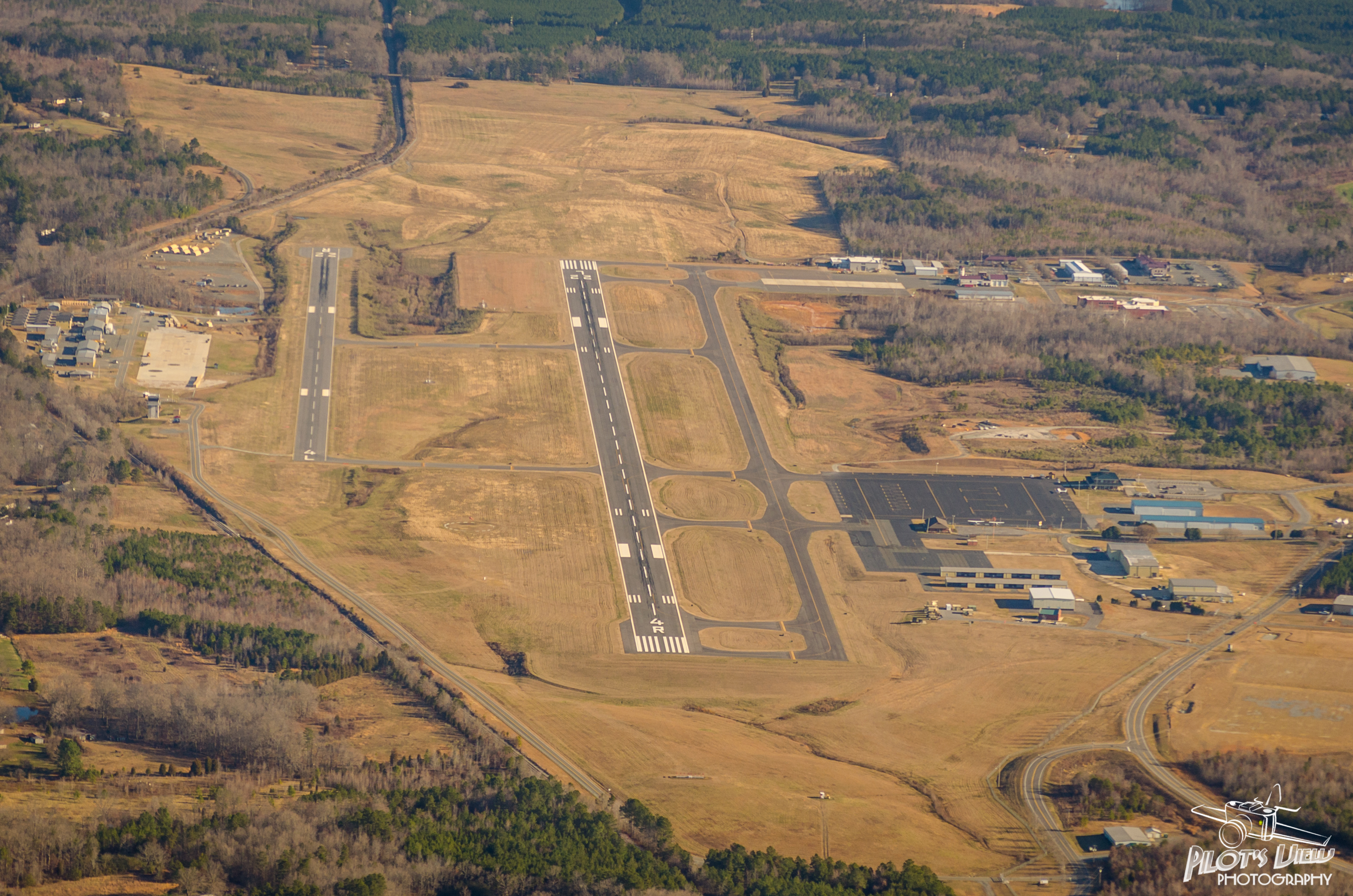
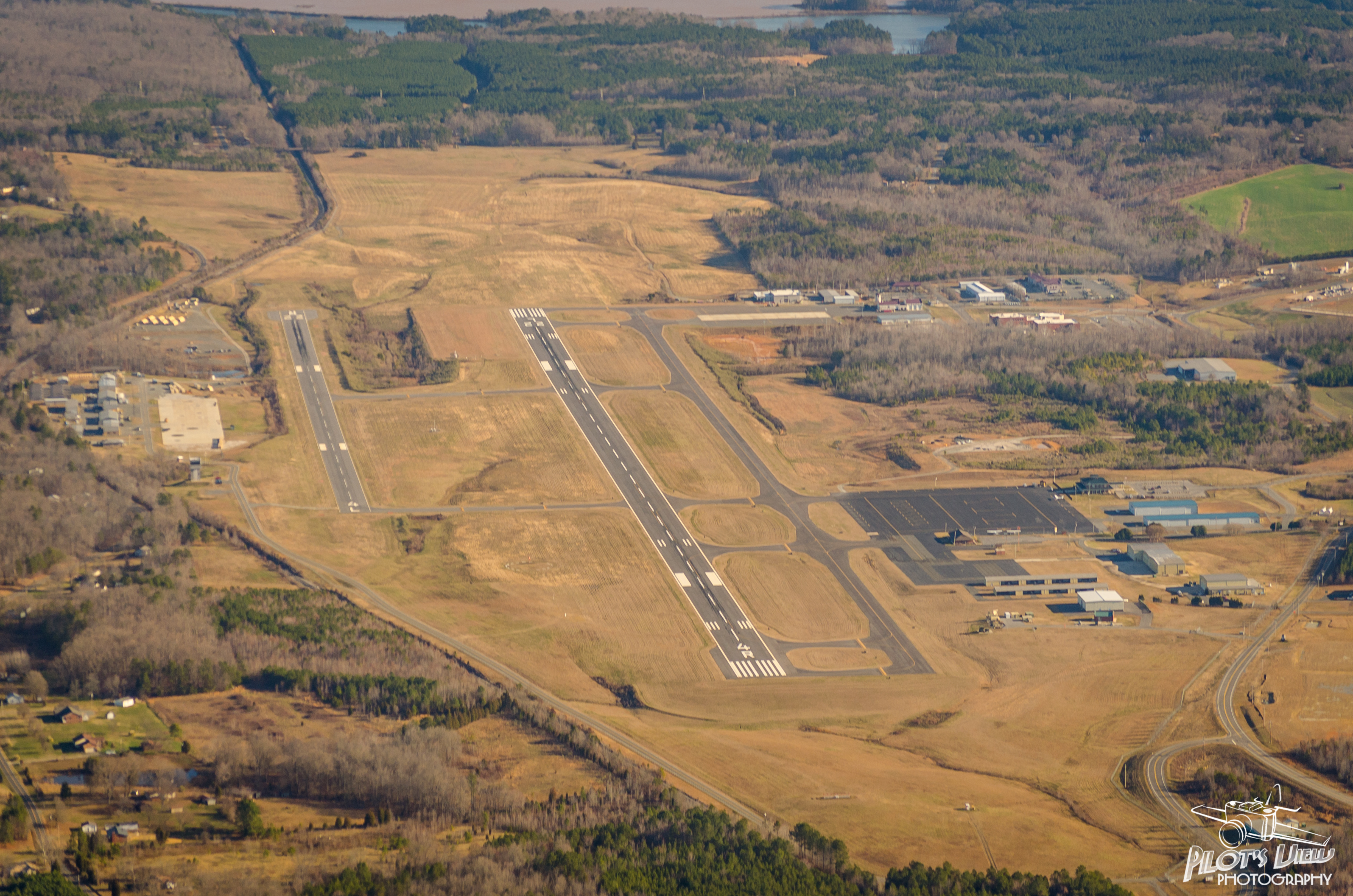
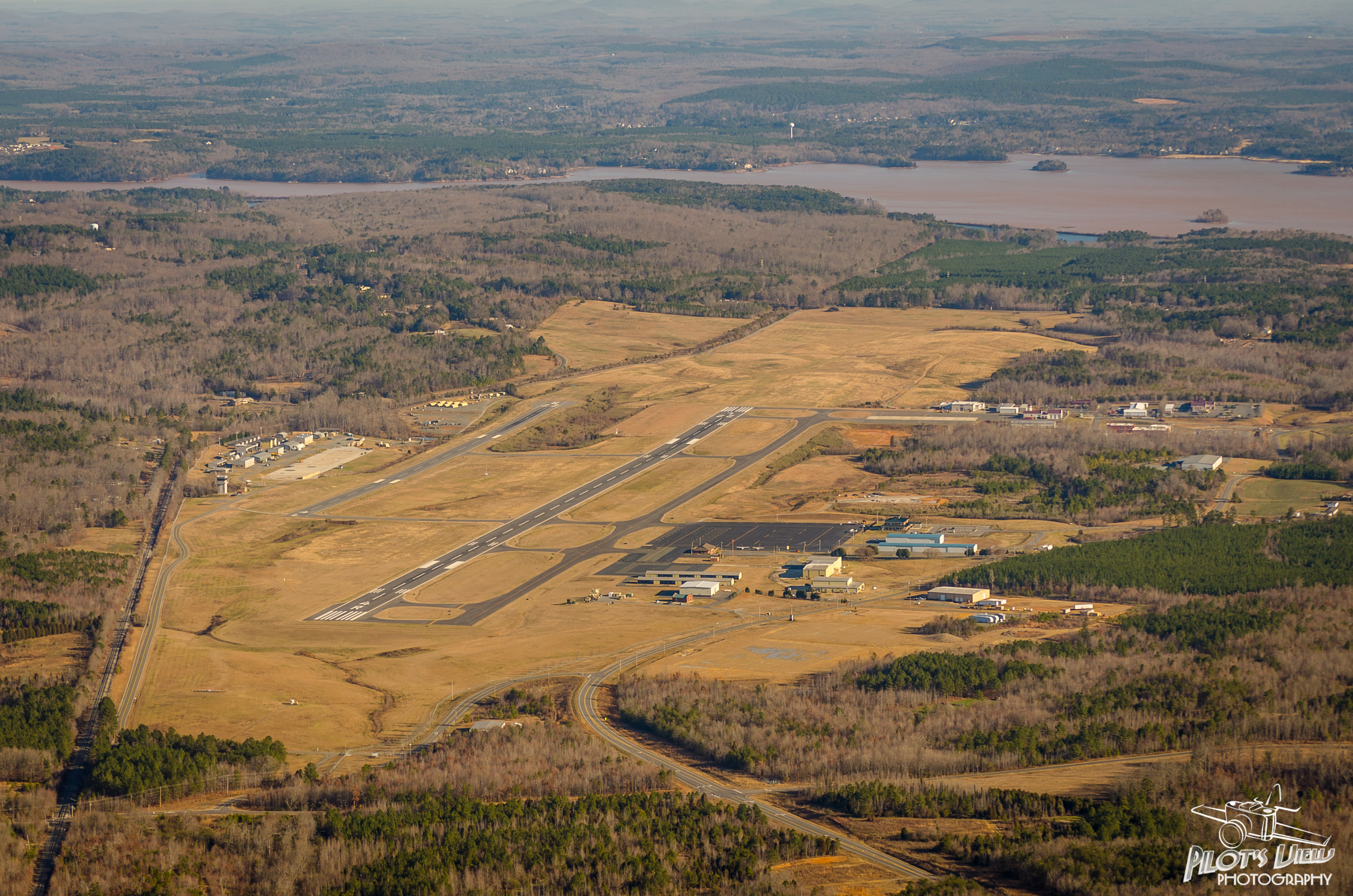
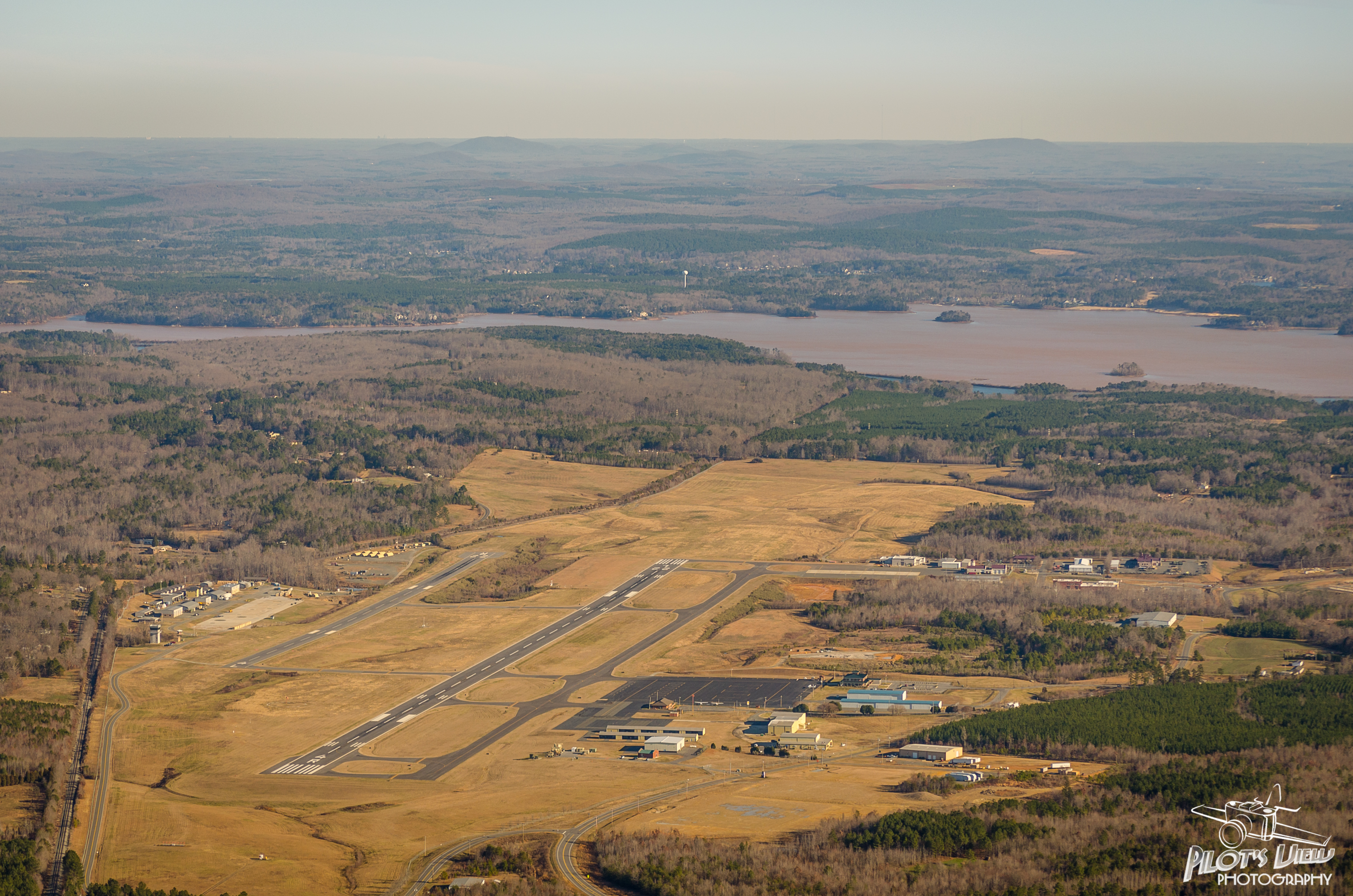
KVUJ Aerial PVP 2013-2

pre siesta view
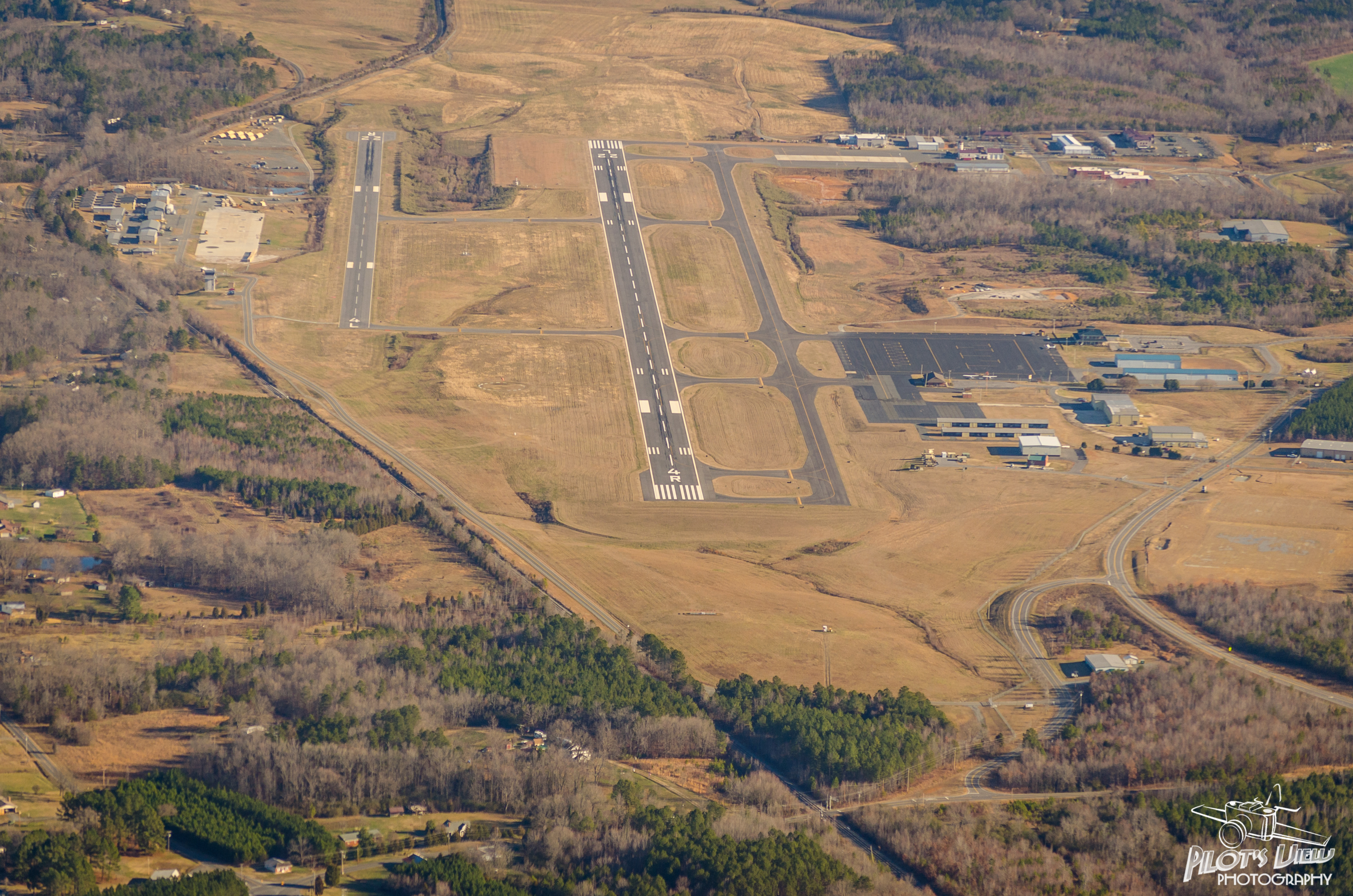
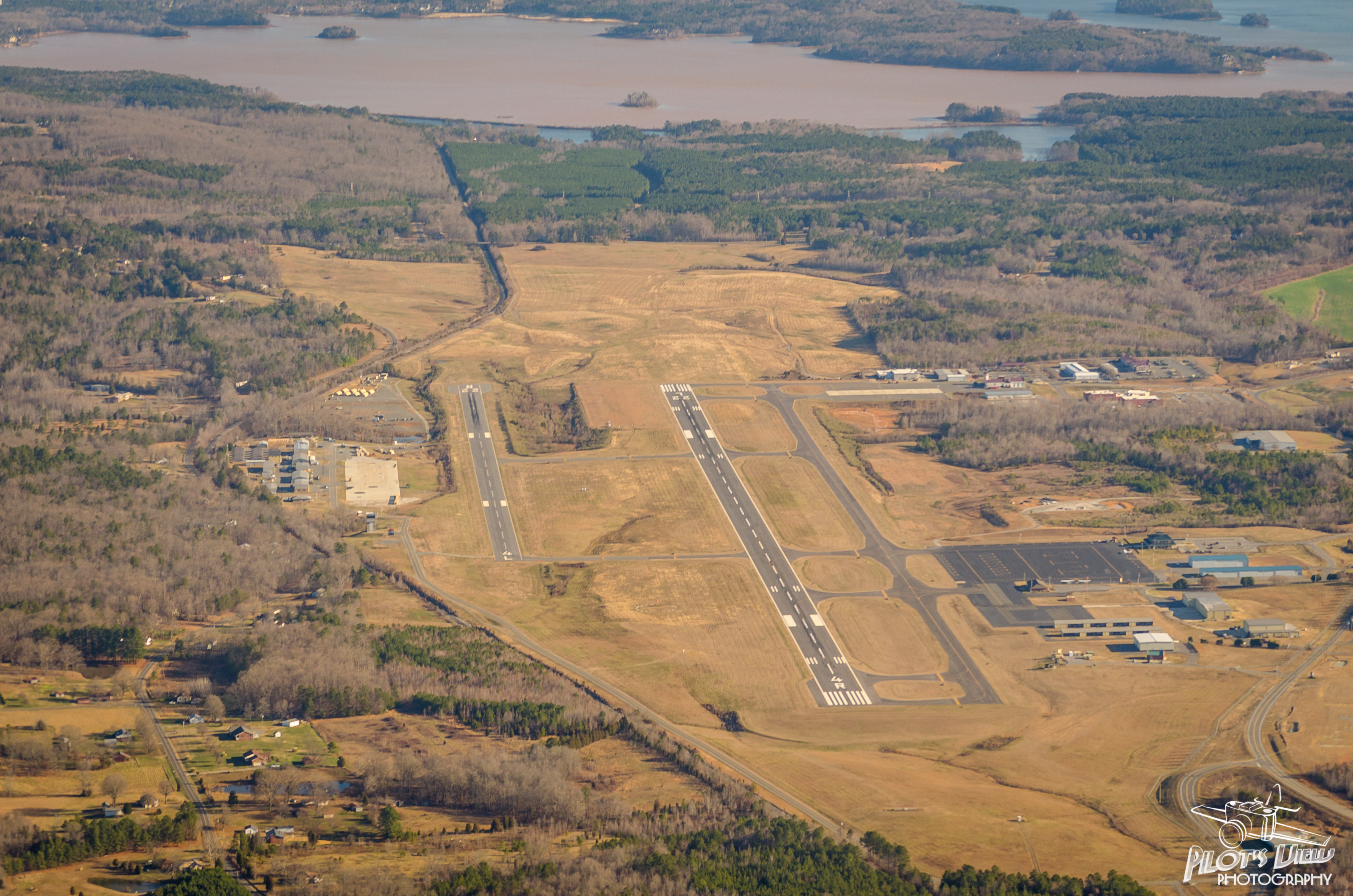
KVUJ Aerial PVP 2013-1
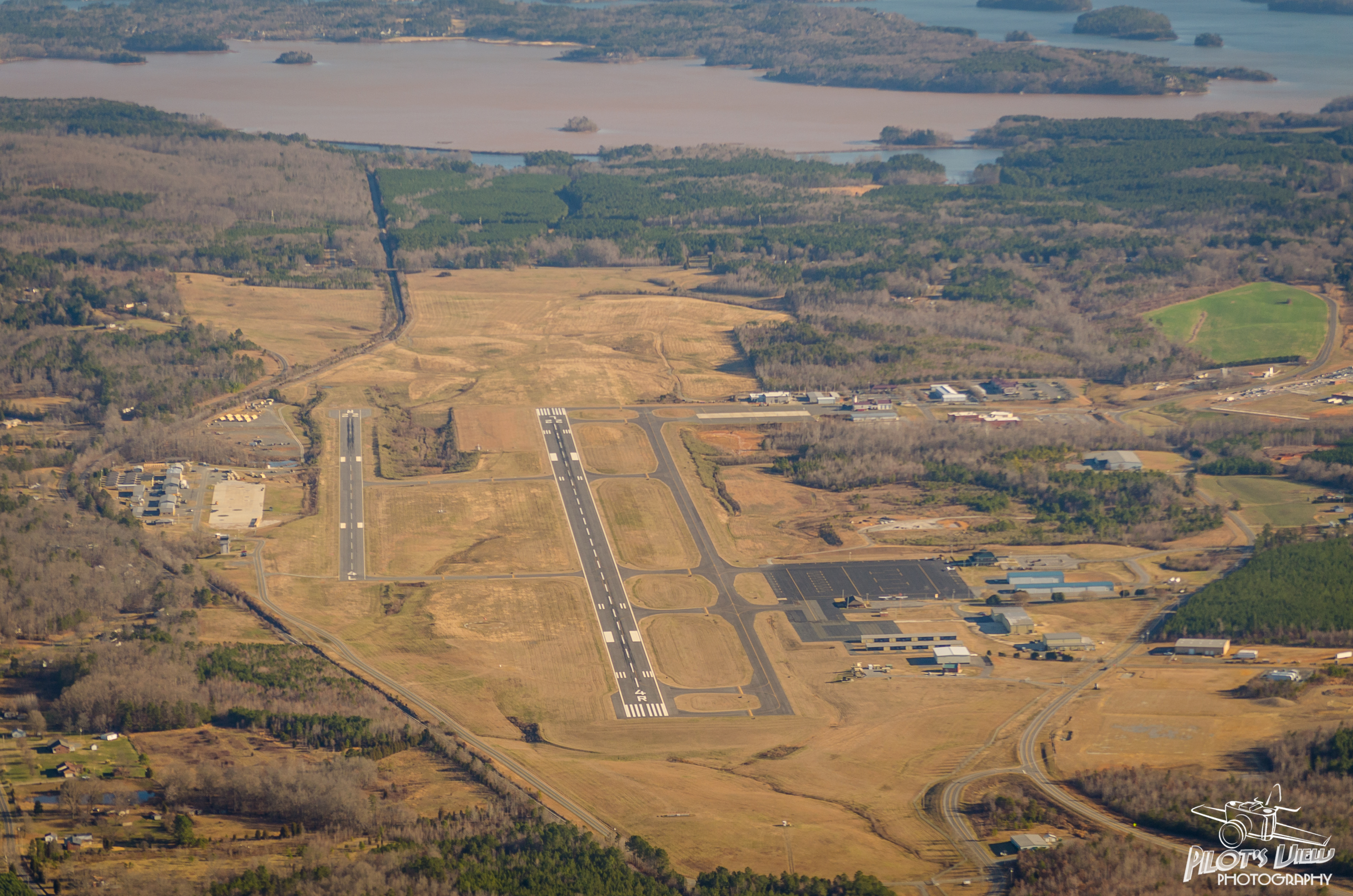
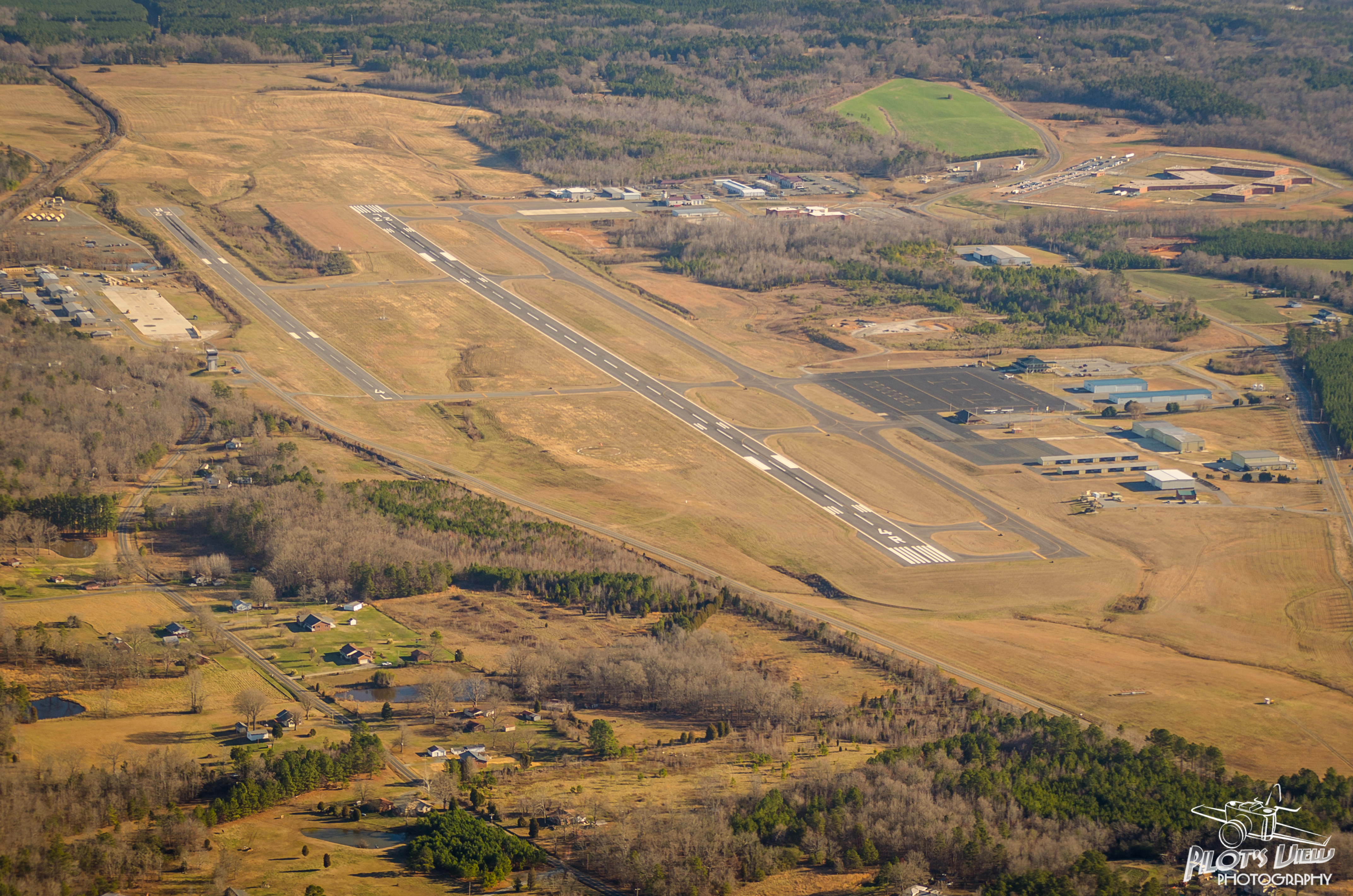
KVUJ Aerial PVP 2013-3

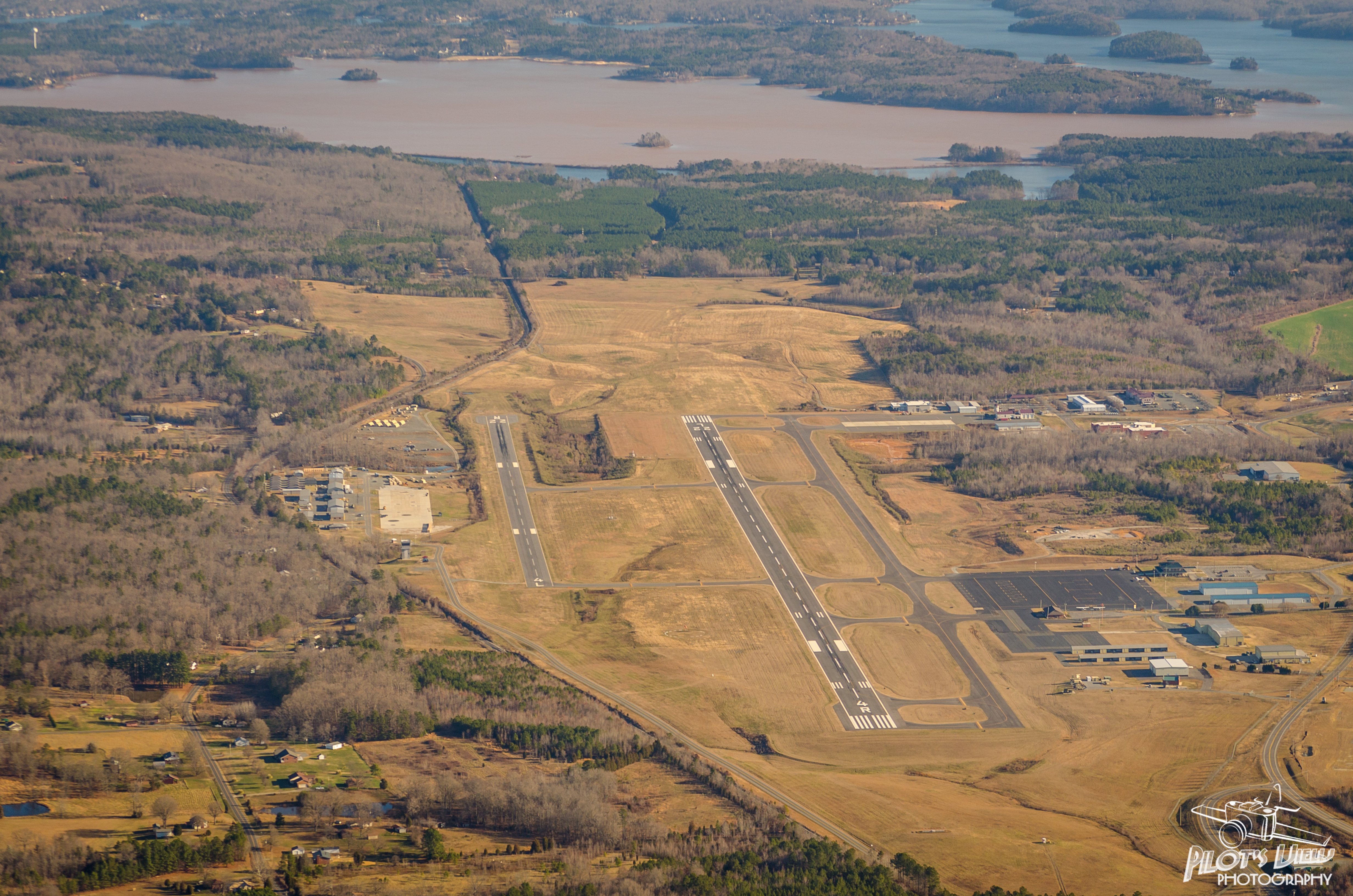
KVUJ Aerial PVP 2013-4
KVUJ Aerial PVP 2013-6
KVUJ Aerial PVP 2013-7
KVUJ Aerial PVP 2013-5
End of the Trail //

Just sittin' there
KVUJ Aerial PVP 2013-10

KVUJ Aerial PVP 2013-8
KVUJ Aerial PVP 2013-11

Enjoying the View...
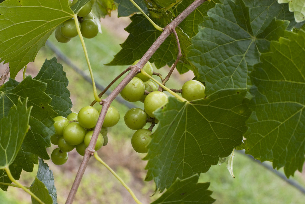
Uwharrie Vineyards-Survived The Harvest
KVUJ Aerial PVP 2013-12

Autumn Gold
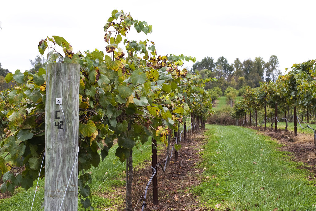
Uwharrie Vineyards 4
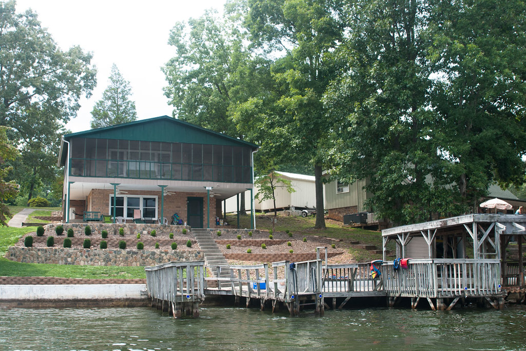
View of the Lake House from the Water

View of the altar and Christmas tree

Now that it's all over, what did you really do yesterday that's worth mentioning?

Weekend peace where the water is warmer than the breeze. #summer2014 #highrocklake

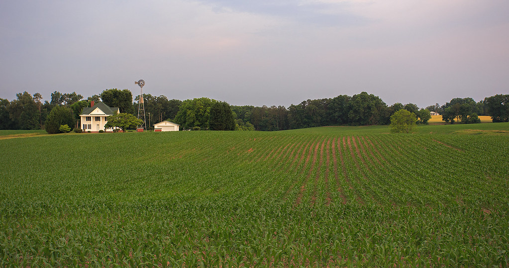
Rural NC
IMG_4443-Edit-Edit

One Boat Pond
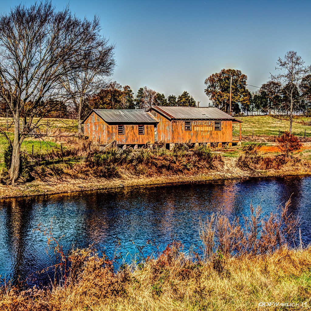
Barringer's Farm
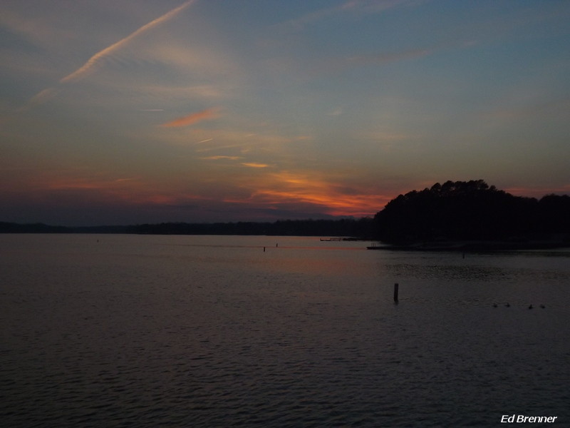
Sunset on High Rock Lake

Barringer's Farm

100_4461Baden Lake.jpg
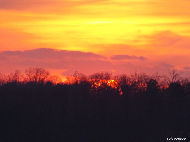
Sunset on High Rock Lake

Sunset on High Rock Lake
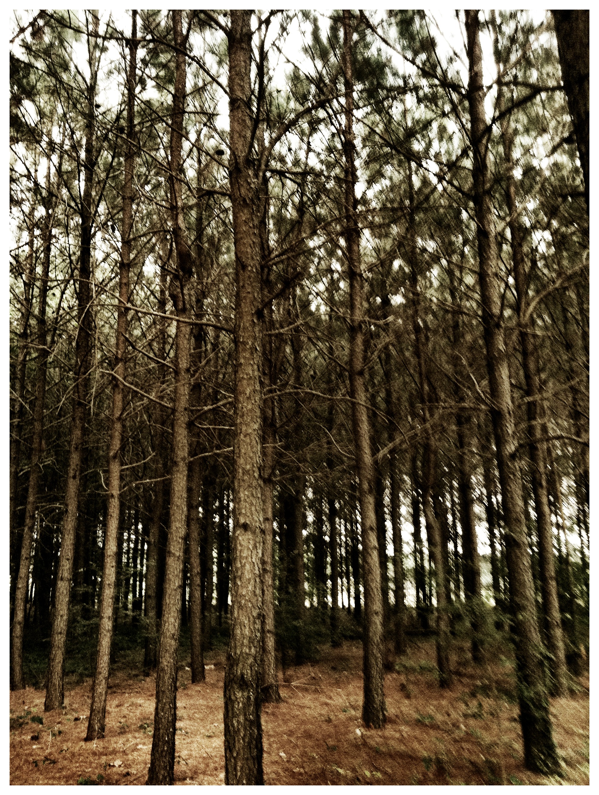
Band of trees
Topographic Map of Misenheimer, NC, USA
Find elevation by address:

Places in Misenheimer, NC, USA:
Places near Misenheimer, NC, USA:
Wesley Chapel Rd, Richfield, NC, USA
Richfield
4060 Thee Promised Way
28824 Misenheimer Rd
Ridenhour
New London
Harris
Highland Baptist Church
181 Random Dr
NC-73, Albemarle, NC, USA
44085 Nc-740
Uwharrie Vineyards & Winery
NC-73, Albemarle, NC, USA
24270 Mini Airport Rd
Holt Rd, Albemarle, NC, USA
Meadowrock Dr, Albemarle, NC, USA
40475 Tower Rd
40400 Tower Rd
44018 Mountain Creek Rd
40344 Tower Rd
Recent Searches:
- Elevation of Corso Fratelli Cairoli, 35, Macerata MC, Italy
- Elevation of Tallevast Rd, Sarasota, FL, USA
- Elevation of 4th St E, Sonoma, CA, USA
- Elevation of Black Hollow Rd, Pennsdale, PA, USA
- Elevation of Oakland Ave, Williamsport, PA, USA
- Elevation of Pedrógão Grande, Portugal
- Elevation of Klee Dr, Martinsburg, WV, USA
- Elevation of Via Roma, Pieranica CR, Italy
- Elevation of Tavkvetili Mountain, Georgia
- Elevation of Hartfords Bluff Cir, Mt Pleasant, SC, USA