Elevation of Rexton, NB E4W 0B3, Canada
Location: Canada > New Brunswick > Kent County >
Longitude: -64.918203
Latitude: 46.589291
Elevation: 5m / 16feet
Barometric Pressure: 101KPa
Elevation Map:
Satellite Map:
Related Photos:

Huge bison bull, Seawind Buffalo Ranch, Bouctouche, New Brunswick, Canada

Sleeping corn.

Temporary bridge.

Lighthouse Reflection

Bison (buffalo) herd, Seawind Buffalo Ranch

At work this morning, got to bring 8 visitors to see about 300 grey seals. They are so cool. They were howling amd rolling around in the sand. Jai apporter 8 visiteurs au travail voir Environs 300 phoques gris. #greyseal#phoqiesgris #marine #mam

Richibucto big sky 2

St. Andrews United Church

2019-06-23 12-12-49

2019-06-23 12-12-53

2019-06-23 12-13-00
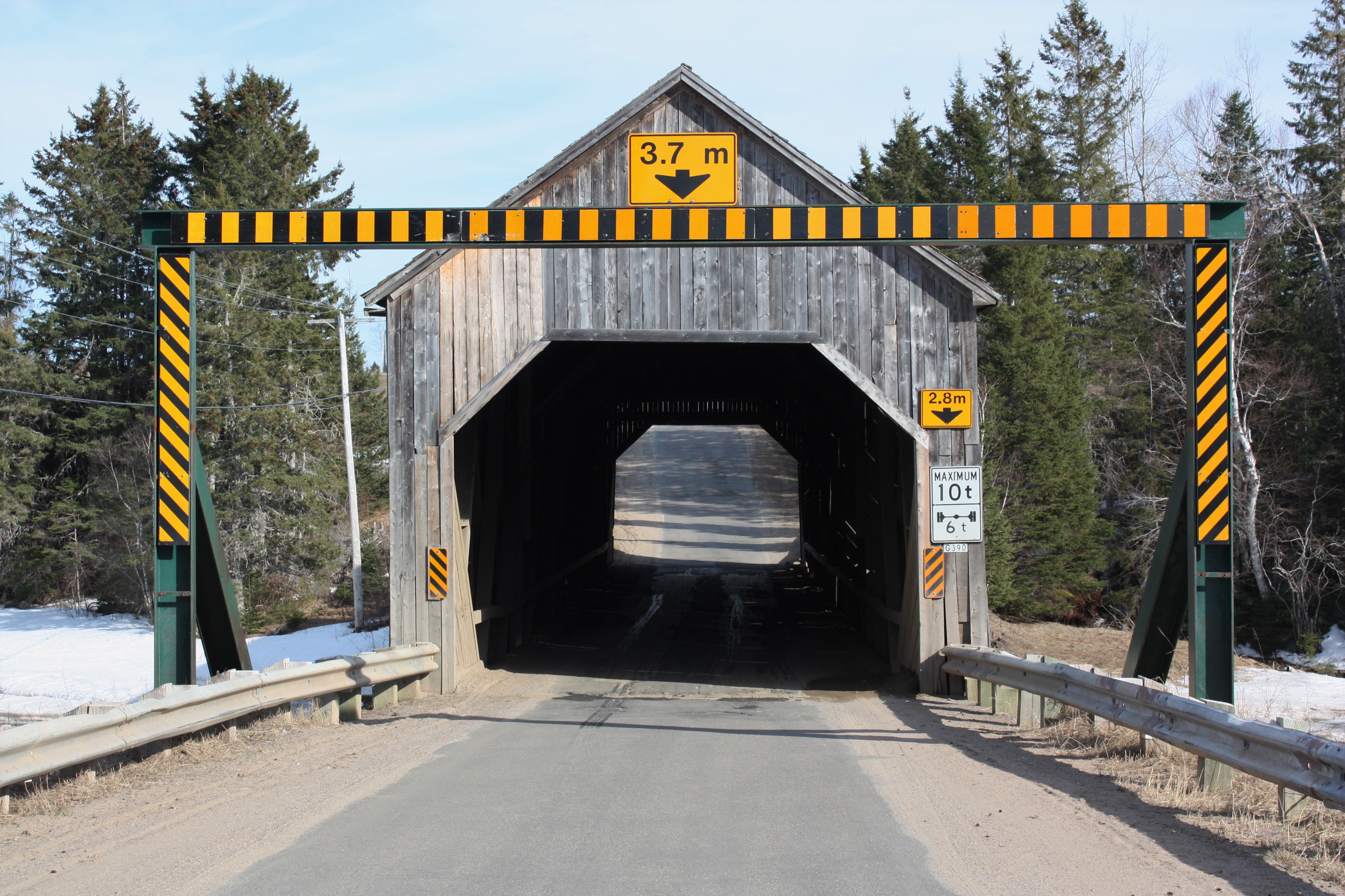
Graham Creek Covered Bridge- Main River, New Brunswick

Graham Creek Covered Bridge- Main River, New Brunswick

Graham Creek Covered Bridge- Main River, New Brunswick

Graham Creek Covered Bridge- Main River, New Brunswick
Over and Done

Rolling into the distance

2019-06-23 11-45-17
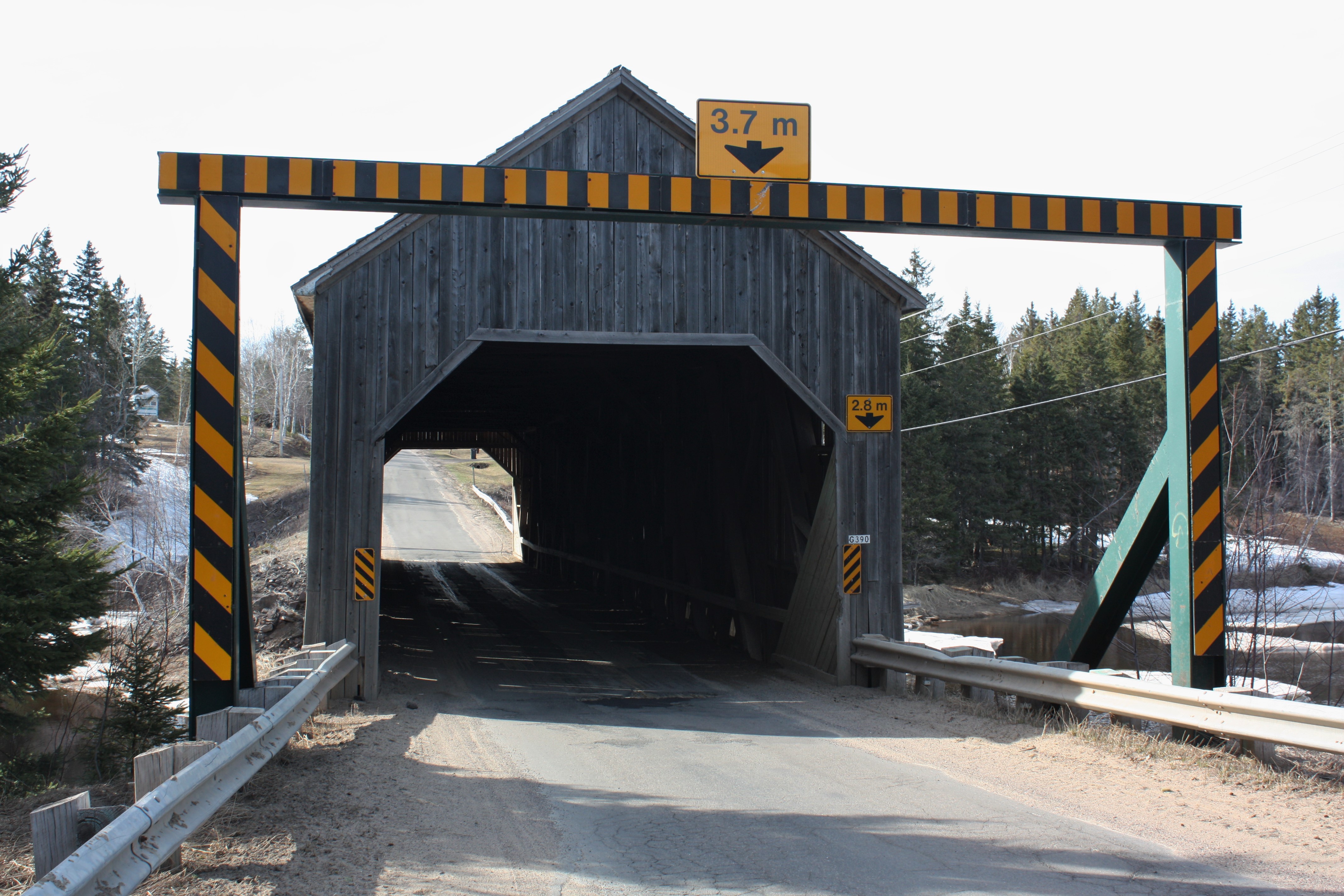
Graham Creek Covered Bridge- Main River, New Brunswick

St. Andrew's United Church- Rexton, New Brunswick

Zion Presbyterian Church- West Branch, New Brunswick

Zion Presbyterian Church- West Branch, New Brunswick

Zion Cemetery- West Branch, New Brunswick
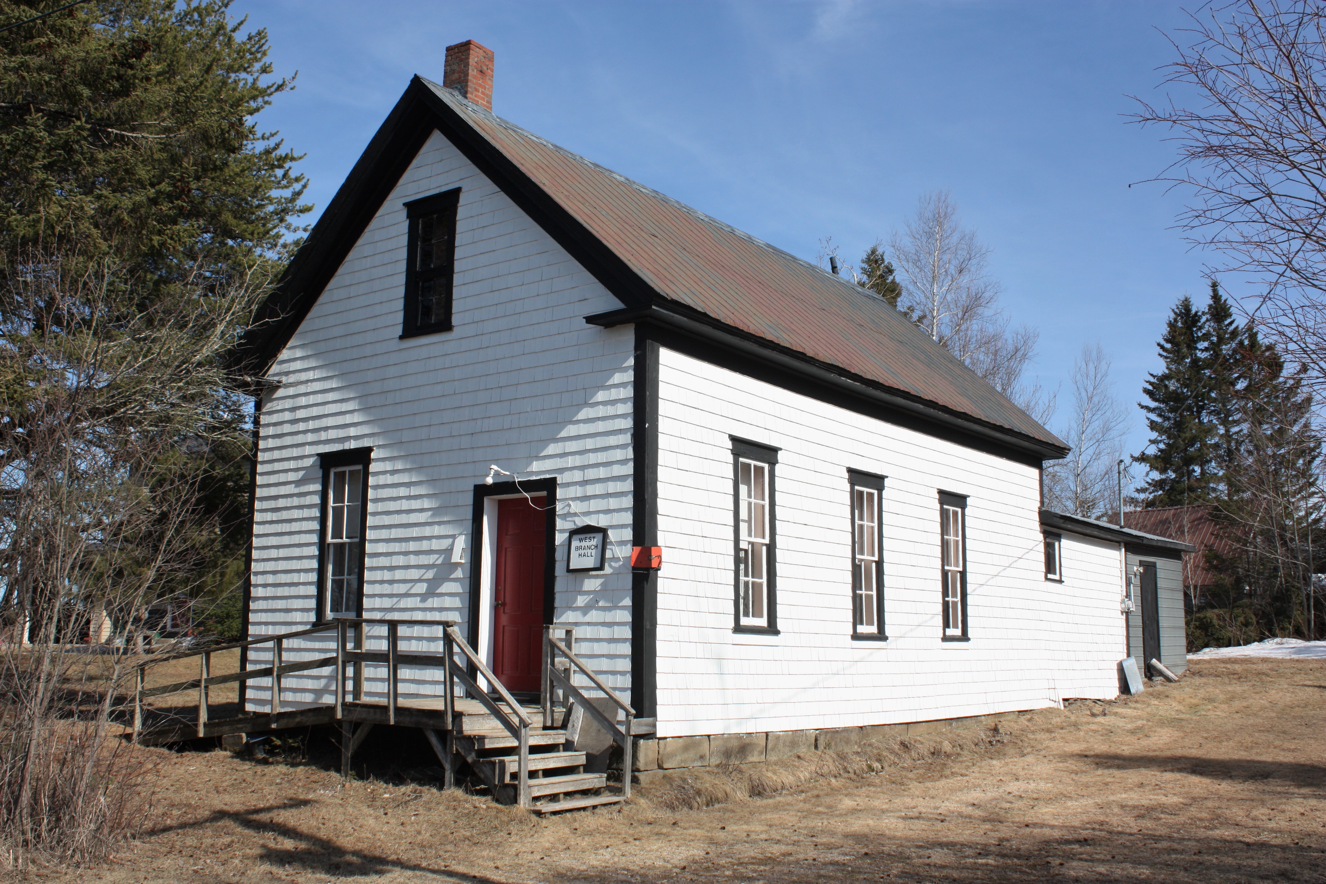
West Branch Hall- West Branch, New Brunswick

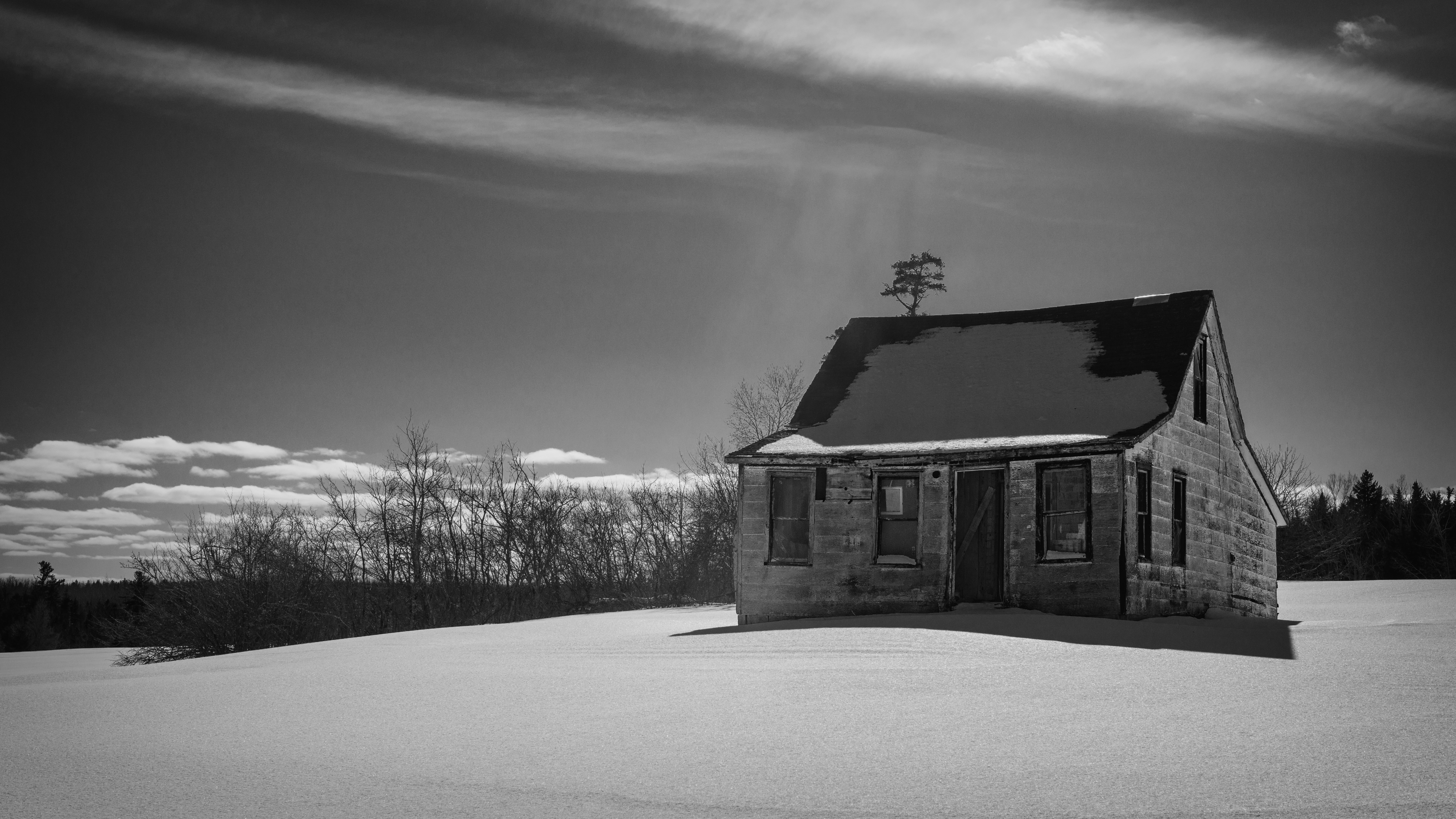
Abandoned House
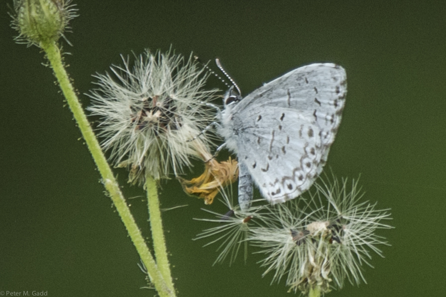
Summer Azure 20150726 Brown's Flat (3)
Topographic Map of Rexton, NB E4W 0B3, Canada
Find elevation by address:

Places near Rexton, NB E4W 0B3, Canada:
Mundleville
Richibucto River Wine Estate
Brown Road
95 Hickey Rd, Upper Rexton, NB E4W 3A2, Canada
Thurrott Bye Rd, South Branch, NB E4W 3M4, Canada
South Branch
7 Church St
Rexton
65 Main St, Rexton, NB E4W 1Z8, Canada
E4s 1a3
Saint-charles
Chemin Saint Charles S, Saint-Charles, NB E4W 4Y1, Canada
Richibucto
311 Chemin Saint Charles S
4970 Nb-495
Saint-norbert
NB-, Sainte-Marie-de-Kent, NB E4S 1Z8, Canada
549 Chemin St Norbert
Sainte-anne-de-kent
6 NB-, Sainte-Anne-de-Kent, NB E4S 1E6, Canada
Recent Searches:
- Elevation of Congressional Dr, Stevensville, MD, USA
- Elevation of Bellview Rd, McLean, VA, USA
- Elevation of Stage Island Rd, Chatham, MA, USA
- Elevation of Shibuya Scramble Crossing, 21 Udagawacho, Shibuya City, Tokyo -, Japan
- Elevation of Jadagoniai, Kaunas District Municipality, Lithuania
- Elevation of Pagonija rock, Kranto 7-oji g. 8"N, Kaunas, Lithuania
- Elevation of Co Rd 87, Jamestown, CO, USA
- Elevation of Tenjo, Cundinamarca, Colombia
- Elevation of Côte-des-Neiges, Montreal, QC H4A 3J6, Canada
- Elevation of Bobcat Dr, Helena, MT, USA