Elevation of Chemin Saint Charles S, Saint-Charles, NB E4W 4Y1, Canada
Location: Canada > New Brunswick > Kent County > Saint-charles > Saint-charles >
Longitude: -64.976165
Latitude: 46.6677689
Elevation: 7m / 23feet
Barometric Pressure: 101KPa
Elevation Map:
Satellite Map:
Related Photos:

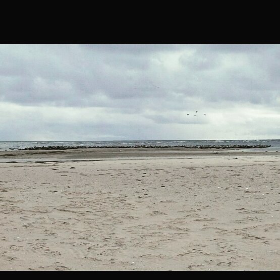
The view where we had our local union meeting today in Kouchibouguac. #Kouchibouguac #river #rivière #NBTrail #NewBrunswick #NouveauBrunswick #Canada #union #syndicat #PSAC #AFPC #uniontravels #wintertravels

The little red barn in the frozen corn field

Sleeping corn.

The little red barn in the corn field.
At work this morning, got to bring 8 visitors to see about 300 grey seals. They are so cool. They were howling amd rolling around in the sand. Jai apporter 8 visiteurs au travail voir Environs 300 phoques gris. #greyseal#phoqiesgris #marine #mam

Kouchibouguak_2014-08-23-122820

At NB's edge. #nbfall
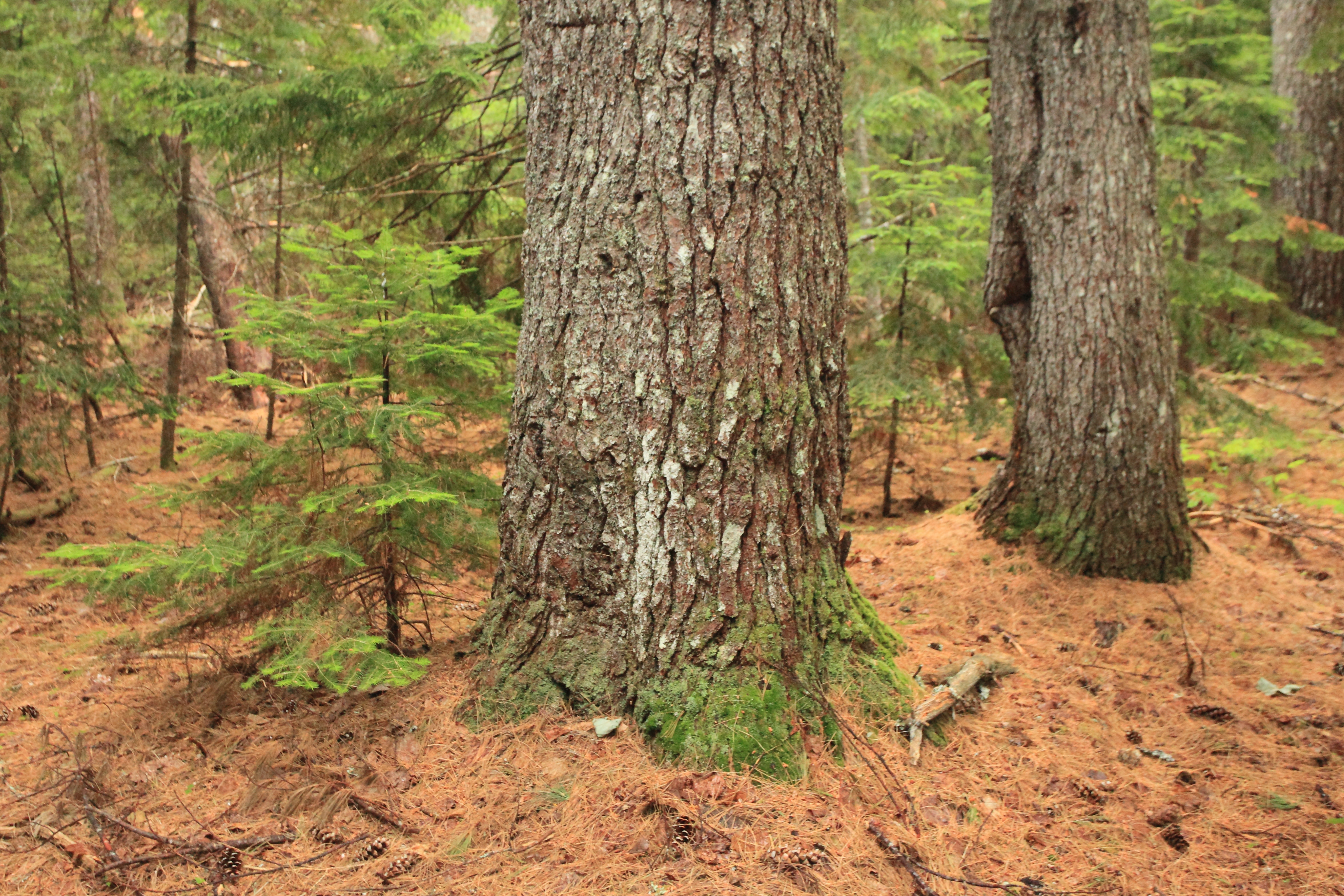
Pine Trail
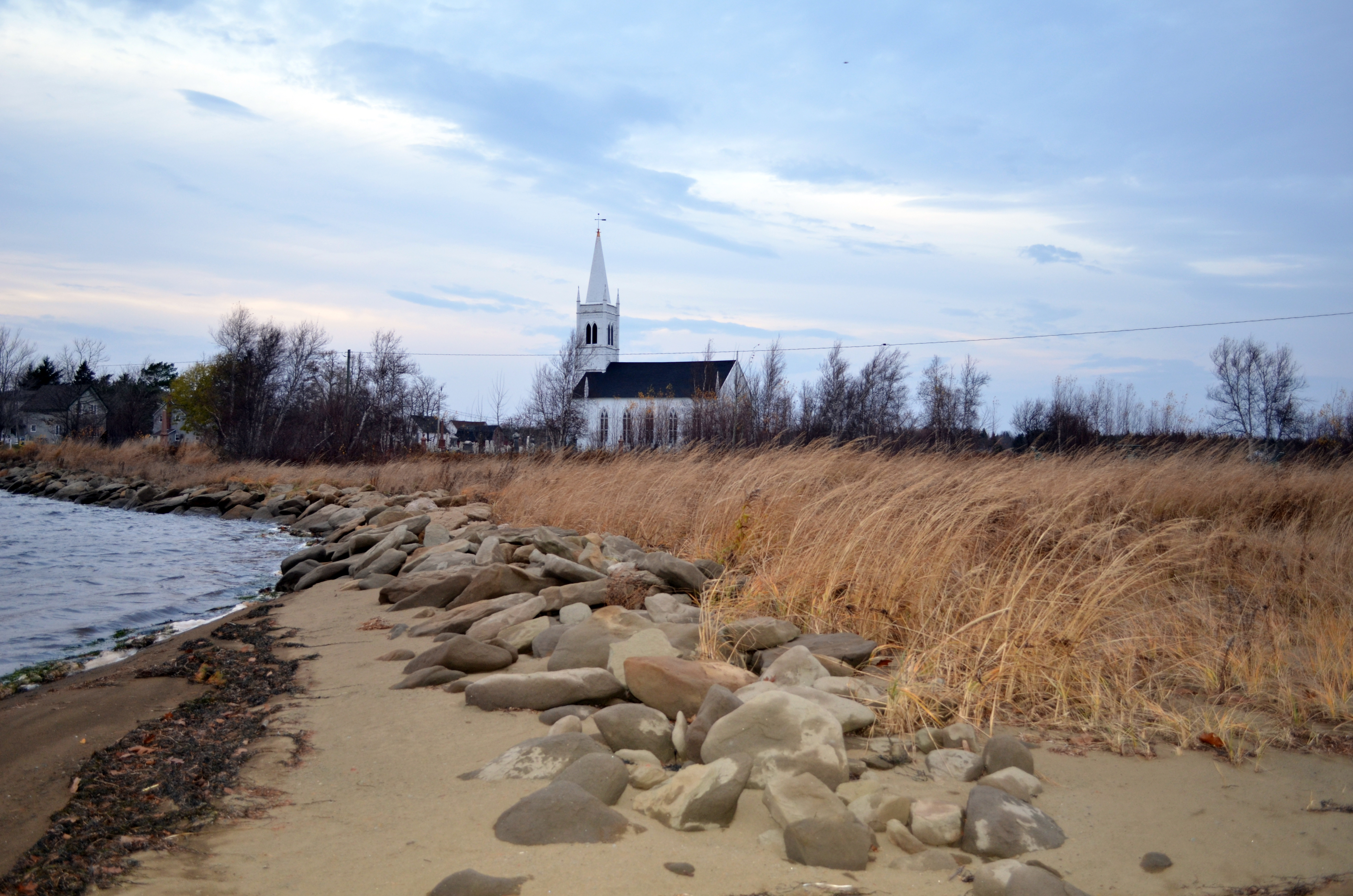
St. Andrews United Church
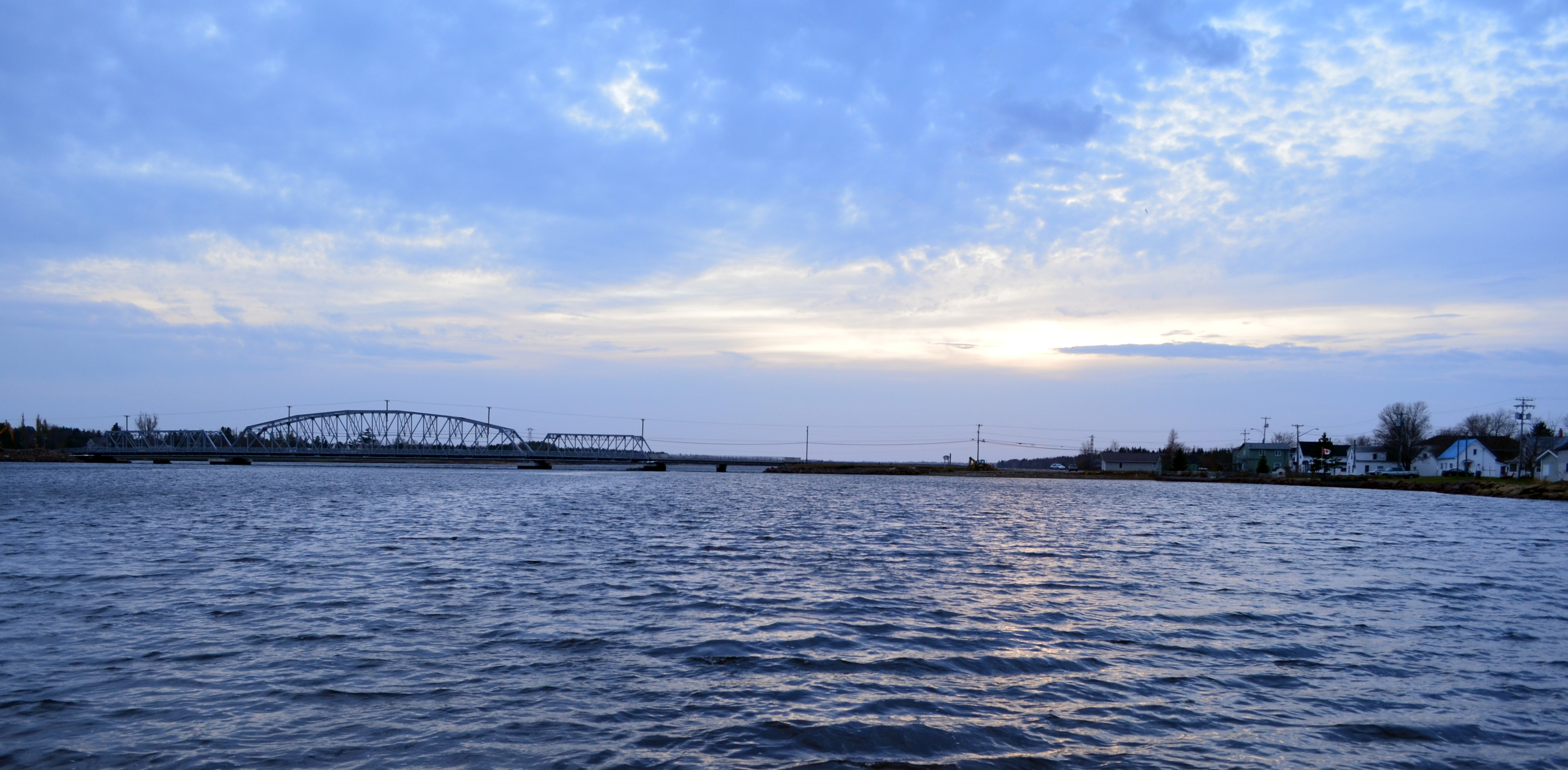
Richibucto big sky 2

Cedars Trail
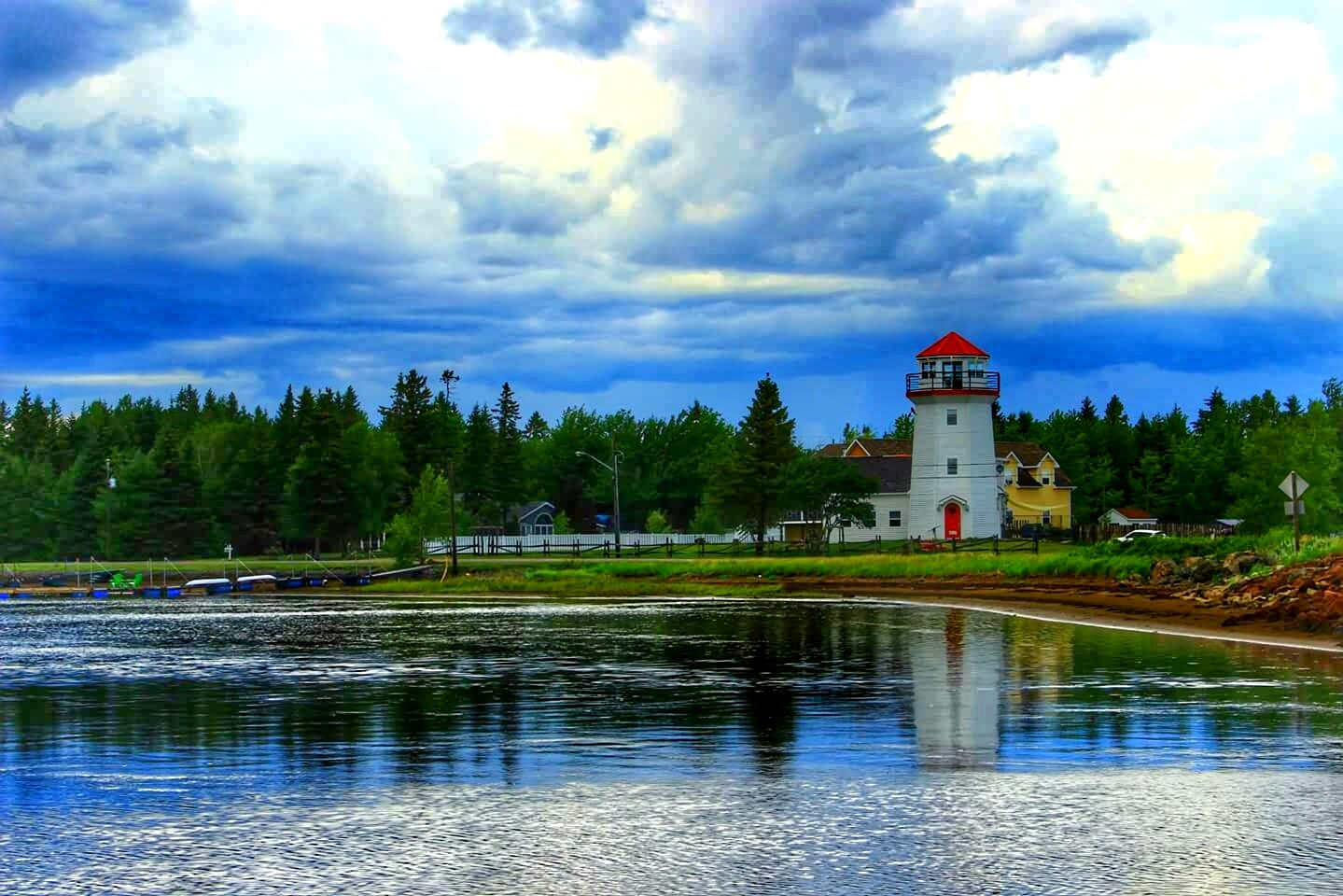
Lighthouse Reflection
Topographic Map of Chemin Saint Charles S, Saint-Charles, NB E4W 4Y1, Canada
Find elevation by address:

Places near Chemin Saint Charles S, Saint-Charles, NB E4W 4Y1, Canada:
Saint-charles
95 Hickey Rd, Upper Rexton, NB E4W 3A2, Canada
311 Chemin Saint Charles S
Saint-louis De Kent
Richibucto River Wine Estate
E4x 1t8
E4w 0b3
Rexton
Mundleville
65 Main St, Rexton, NB E4W 1Z8, Canada
7 Church St
Chemin Cap Saint-Louis, Aldouane, NB E4W 5B2, Canada
Richibucto
Saint-louis
Brown Road
South Branch
Kouchibouguac
Thurrott Bye Rd, South Branch, NB E4W 3M4, Canada
E4s 1a3
NB-, Weldford, NB E4W, Canada
Recent Searches:
- Elevation of Corso Fratelli Cairoli, 35, Macerata MC, Italy
- Elevation of Tallevast Rd, Sarasota, FL, USA
- Elevation of 4th St E, Sonoma, CA, USA
- Elevation of Black Hollow Rd, Pennsdale, PA, USA
- Elevation of Oakland Ave, Williamsport, PA, USA
- Elevation of Pedrógão Grande, Portugal
- Elevation of Klee Dr, Martinsburg, WV, USA
- Elevation of Via Roma, Pieranica CR, Italy
- Elevation of Tavkvetili Mountain, Georgia
- Elevation of Hartfords Bluff Cir, Mt Pleasant, SC, USA