Elevation of Chemin St Norbert, Saint-Norbert, NB E4S 2R8, Canada
Location: Canada > New Brunswick > Kent County > Weldford > Saint-norbert >
Longitude: -64.996254
Latitude: 46.4710779
Elevation: 51m / 167feet
Barometric Pressure: 101KPa
Elevation Map:
Satellite Map:
Related Photos:
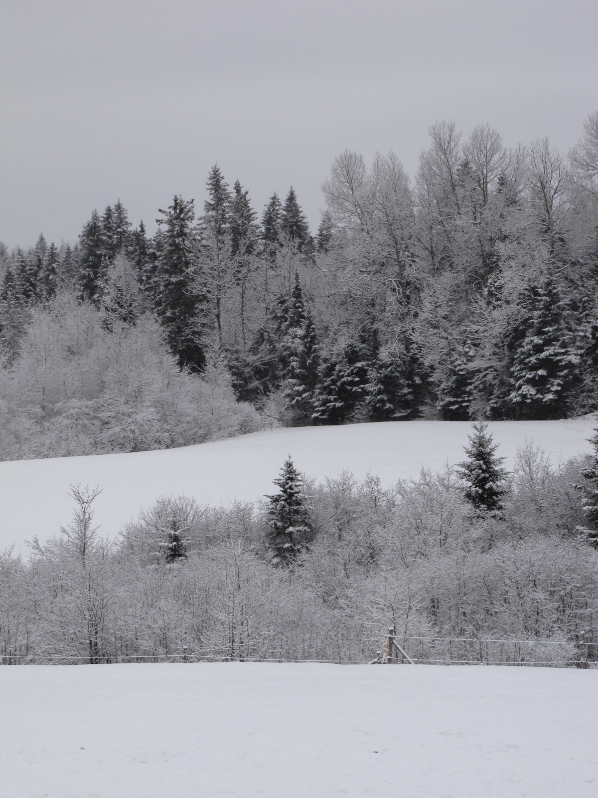
View from my house

View from our house, another crappy weather day. Snow, then freezing rain, then rain, rain now, could be more freezing rain later. A big mess. At least the sidewalk is cleared before the street. Une journée de cochonneries, y fait laid dehors. #Bouct

Into the Darkness

Sleeping corn.

Bouctouche River, Sainte-Anne-de-Kent, New Brunswick, Canada.

Misty trail

Temporary bridge.

View of Sainte-Marie-de-Kent, New Brunswick

Sainte-Marie Farm

Nice view and pict, and quotes
Topographic Map of Chemin St Norbert, Saint-Norbert, NB E4S 2R8, Canada
Find elevation by address:

Places near Chemin St Norbert, Saint-Norbert, NB E4S 2R8, Canada:
Saint-norbert
NB-, Weldford, NB E4W, Canada
4970 Nb-495
NB-, Sainte-Marie-de-Kent, NB E4S 1Z8, Canada
South Branch
Thurrott Bye Rd, South Branch, NB E4W 3M4, Canada
Brown Road
E4s 1a3
Sainte-marie-de-kent
E4s
Saint-maurice
Wellington
Sainte-anne-de-kent
6 NB-, Sainte-Anne-de-Kent, NB E4S 1E6, Canada
Mcintosh Hill
49 Rue Saint Jean Baptiste
Bouctouche
25 Rue Landry, Bouctouche, NB E4S 3N1, Canada
Chemin Potts, McIntosh Hill, NB E4S 4L1, Canada
2 Chemin Côte Ste Anne, Saint-Édouard-de-Kent, NB E4S 4Y1, Canada
Recent Searches:
- Elevation of Luther Road, Luther Rd, Auburn, CA, USA
- Elevation of Unnamed Road, Respublika Severnaya Osetiya — Alaniya, Russia
- Elevation of Verkhny Fiagdon, North Ossetia–Alania Republic, Russia
- Elevation of F. Viola Hiway, San Rafael, Bulacan, Philippines
- Elevation of Herbage Dr, Gulfport, MS, USA
- Elevation of Lilac Cir, Haldimand, ON N3W 2G9, Canada
- Elevation of Harrod Branch Road, Harrod Branch Rd, Kentucky, USA
- Elevation of Wyndham Grand Barbados Sam Lords Castle All Inclusive Resort, End of Belair Road, Long Bay, Bridgetown Barbados
- Elevation of Iga Trl, Maggie Valley, NC, USA
- Elevation of N Co Rd 31D, Loveland, CO, USA