Elevation of Revells Neck Rd, Westover, MD, USA
Location: United States > Maryland > Somerset County > 13, Westover > Westover >
Longitude: -75.694263
Latitude: 38.153137
Elevation: 5m / 16feet
Barometric Pressure: 101KPa
Elevation Map:
Satellite Map:
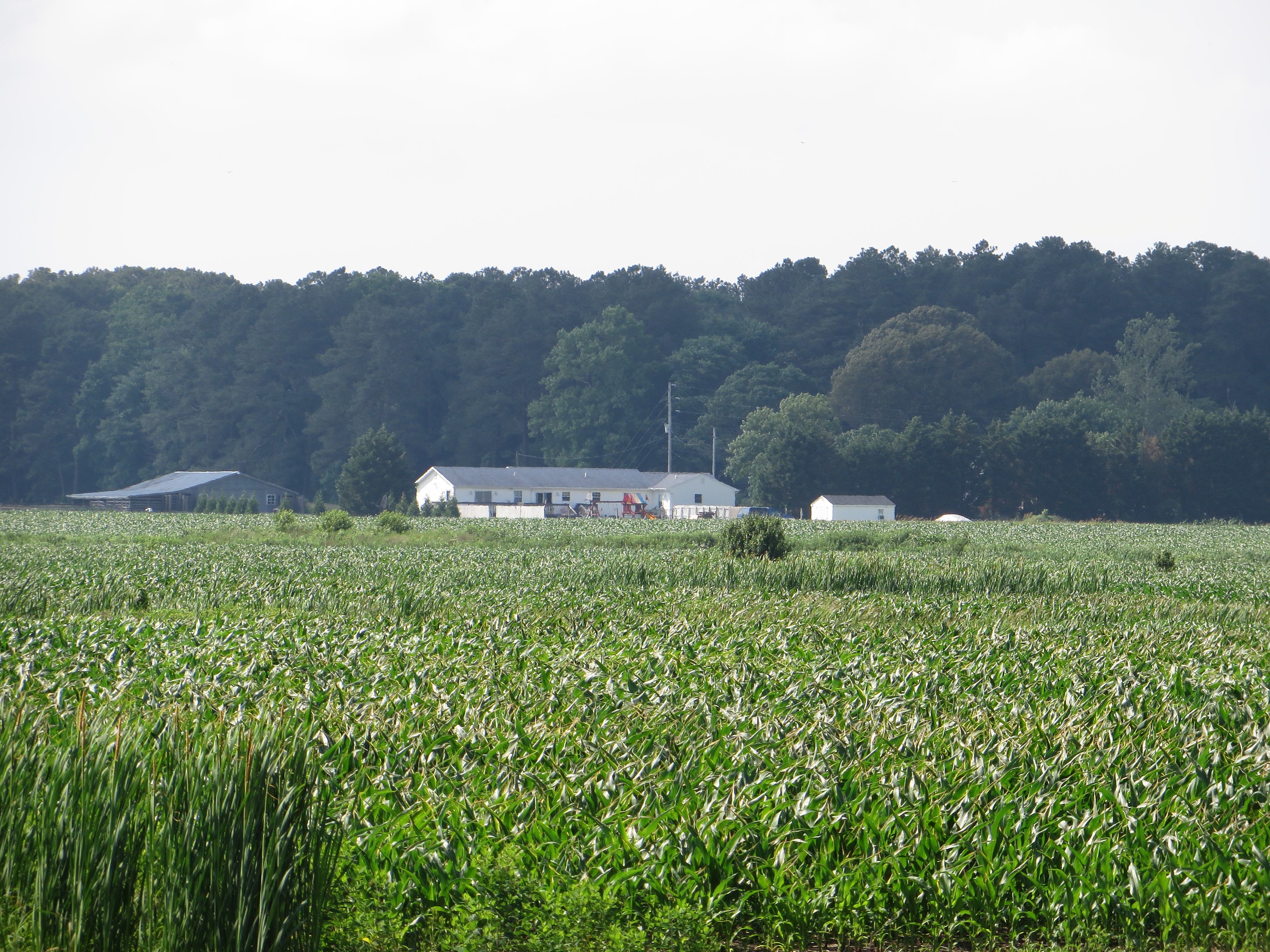
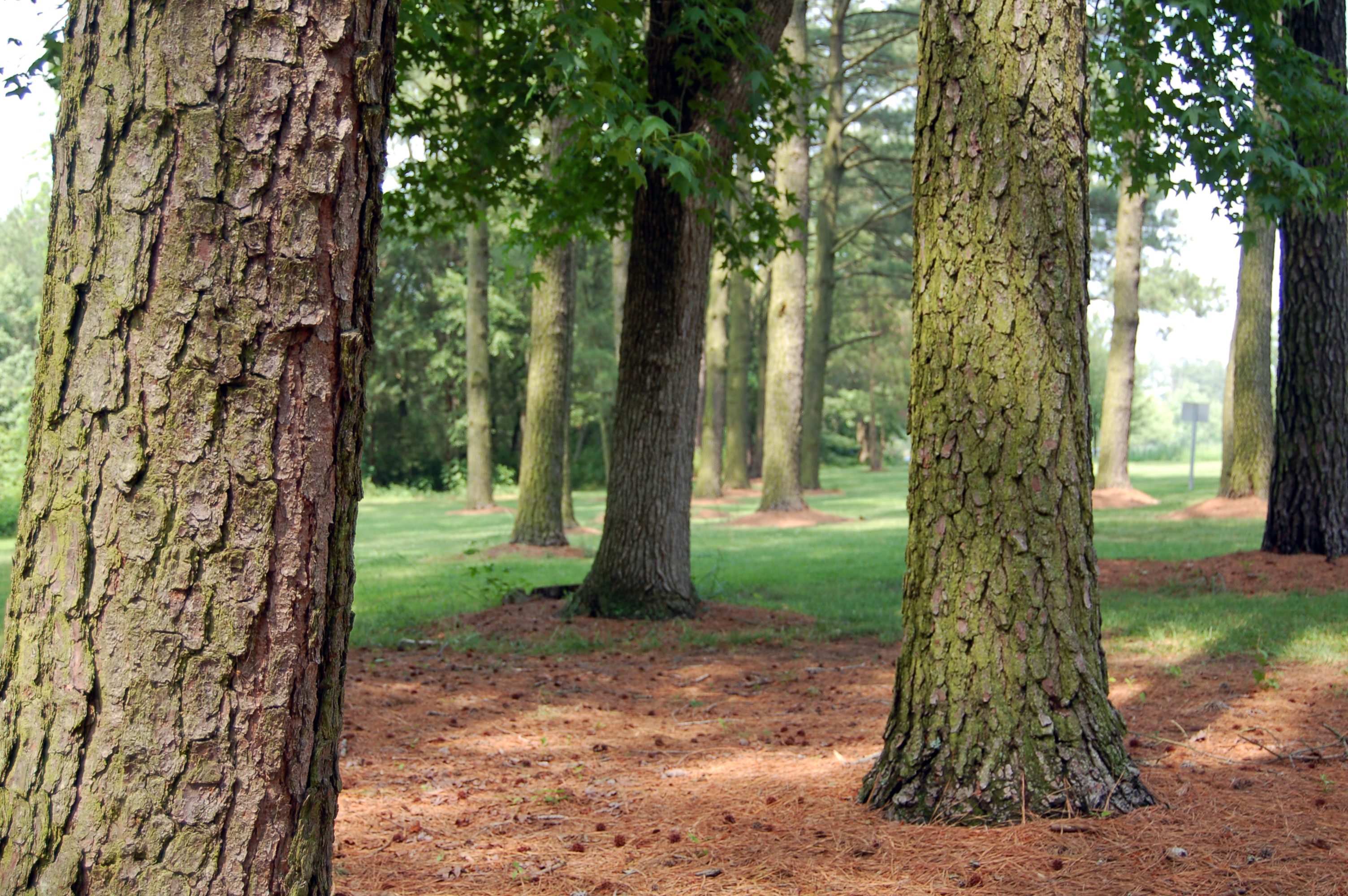
Related Photos:

call me bitter
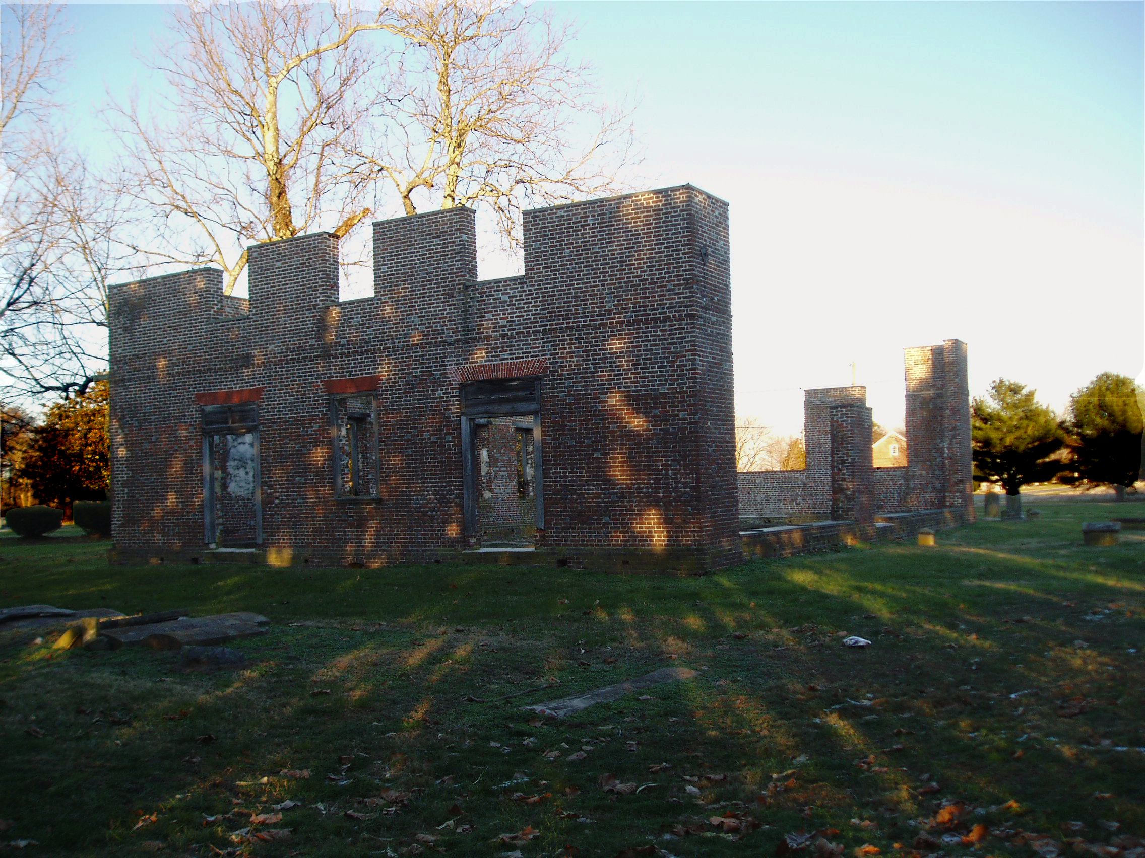
Coventry Parish Church ruins

Tropical Kingbird
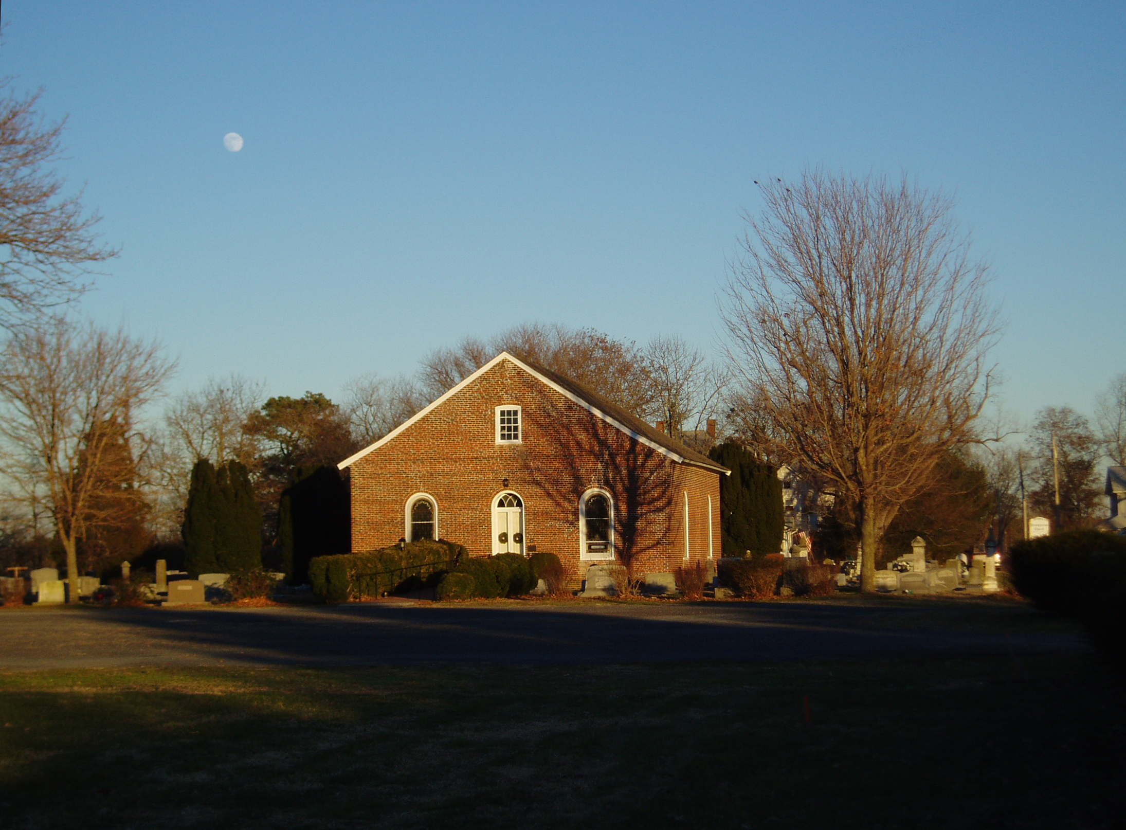
Rehobeth Presbyterian Church, 1706

US 13 overpass
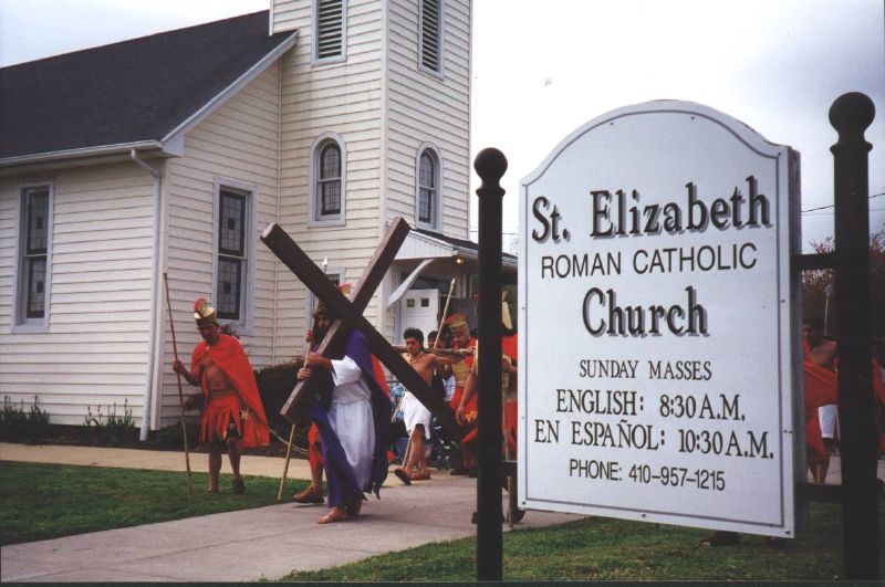
Good Friday in Westover, Maryland
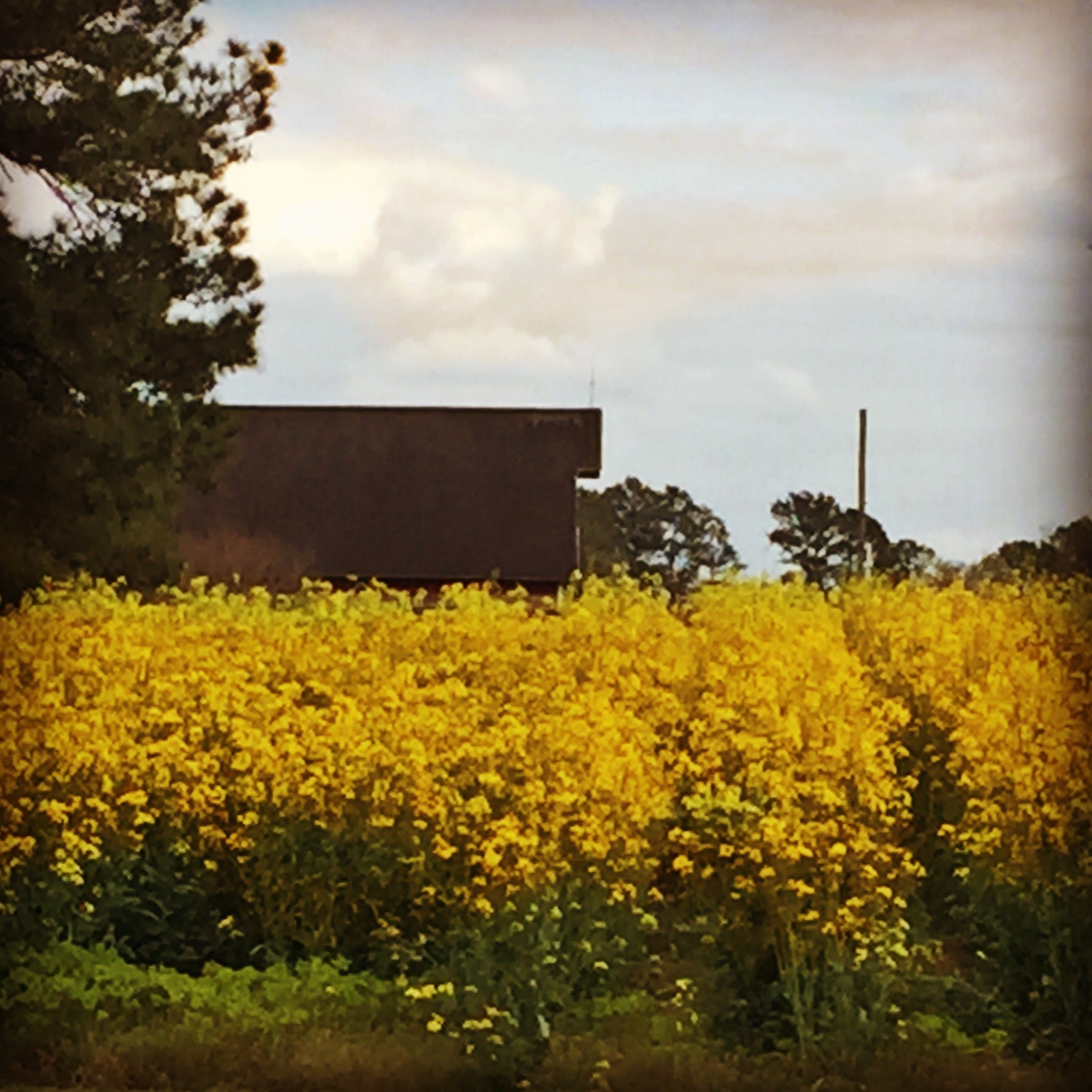
Barn roof behind tall yellow flowers
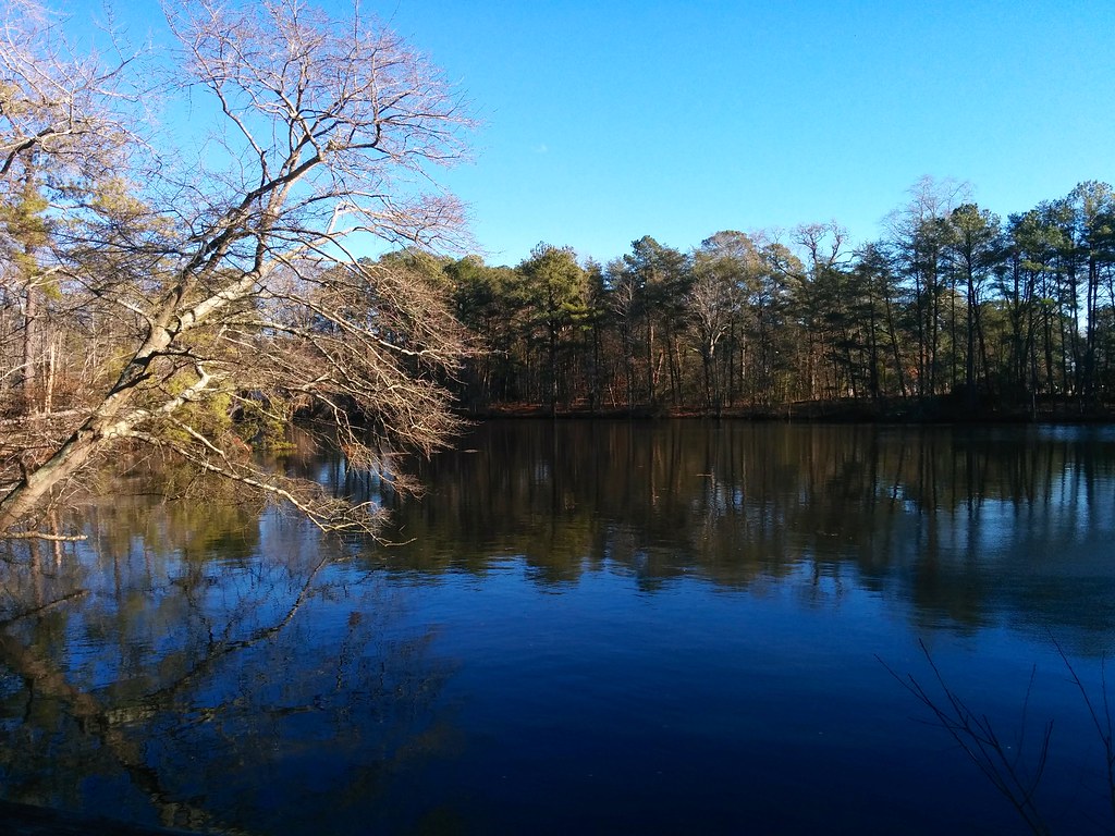
Stevenson's Pond
2014-12-25 13.59.25
Approaching Pocomoke City, Maryland
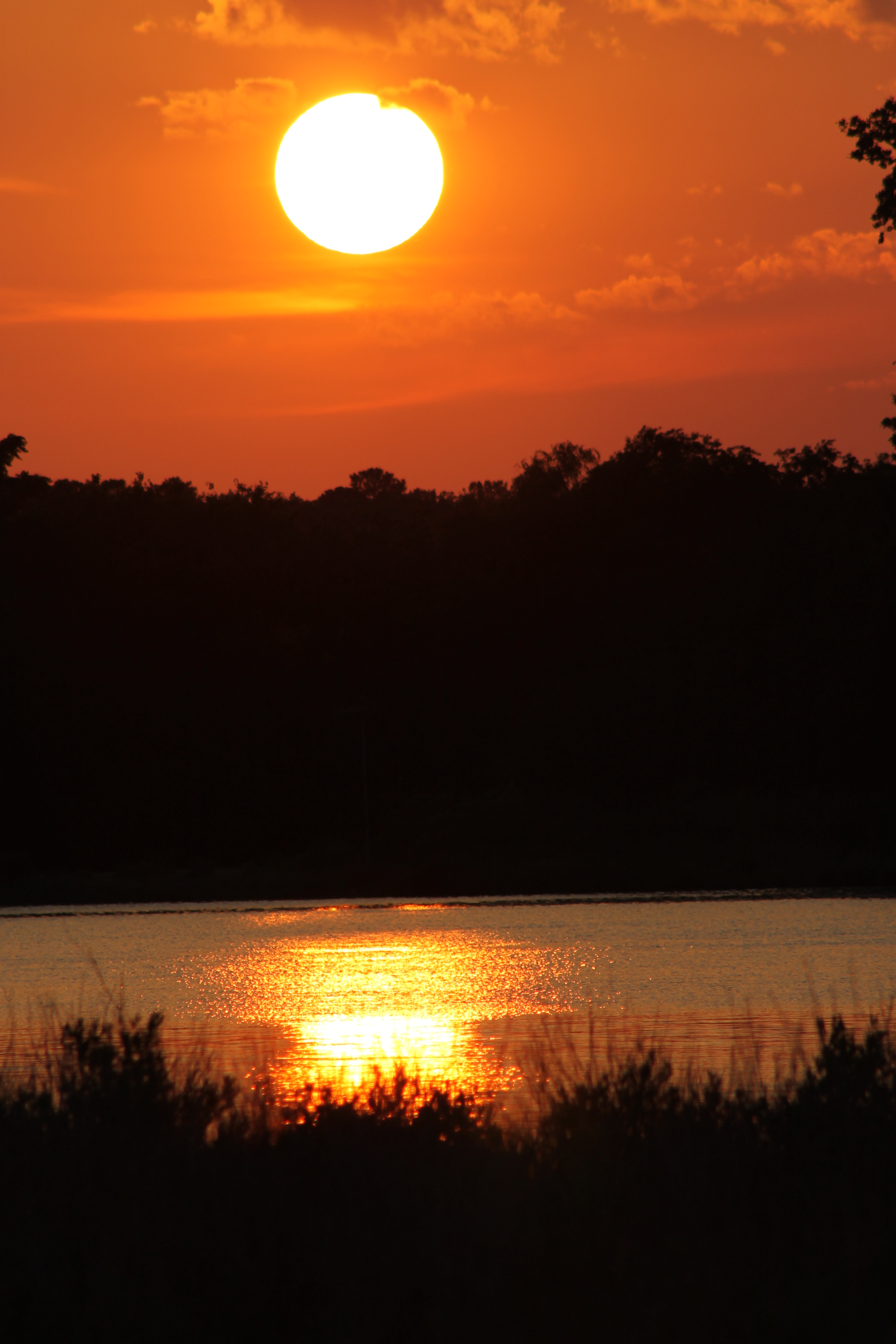
Sunset 4

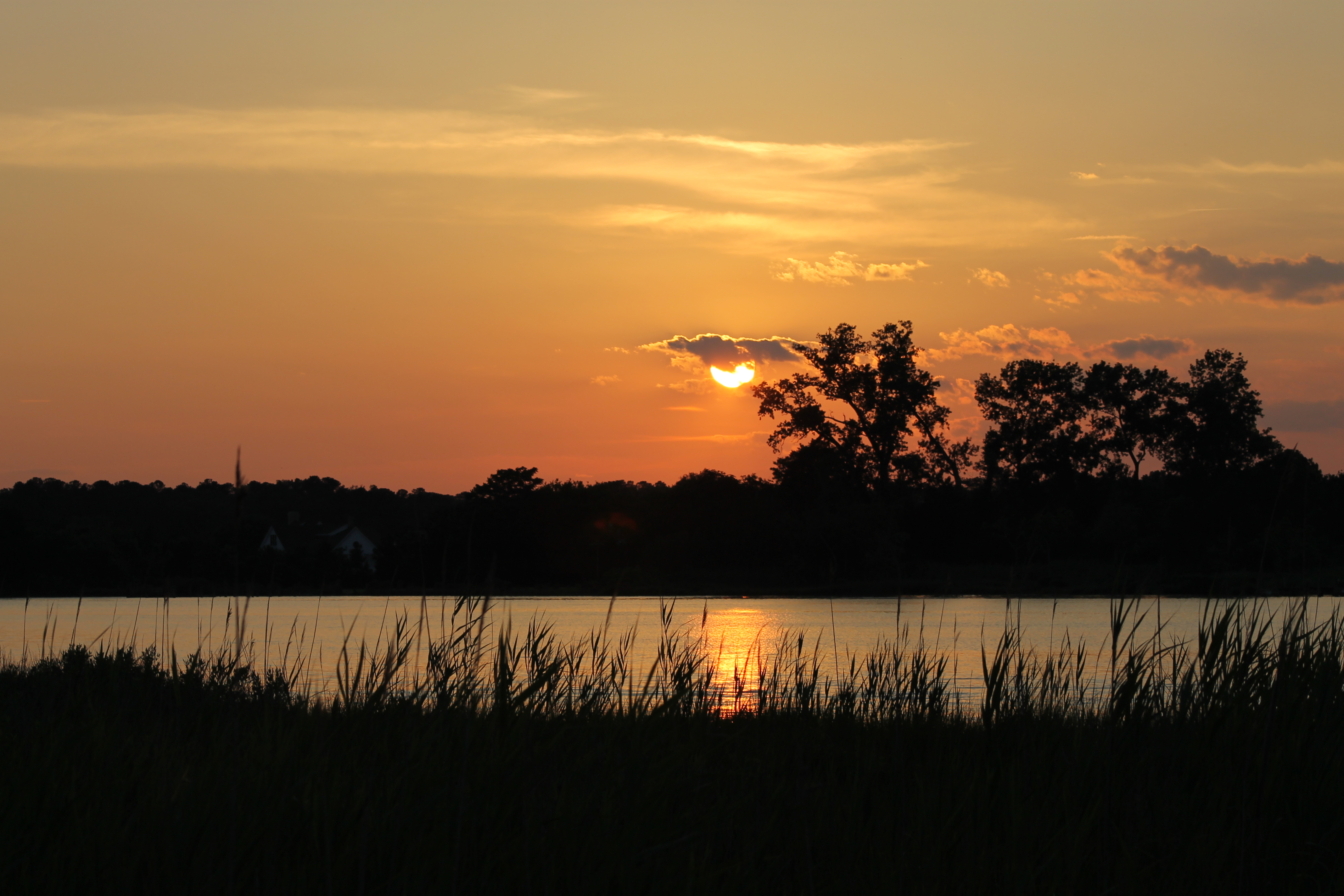
Sunset 1

Sunset 5
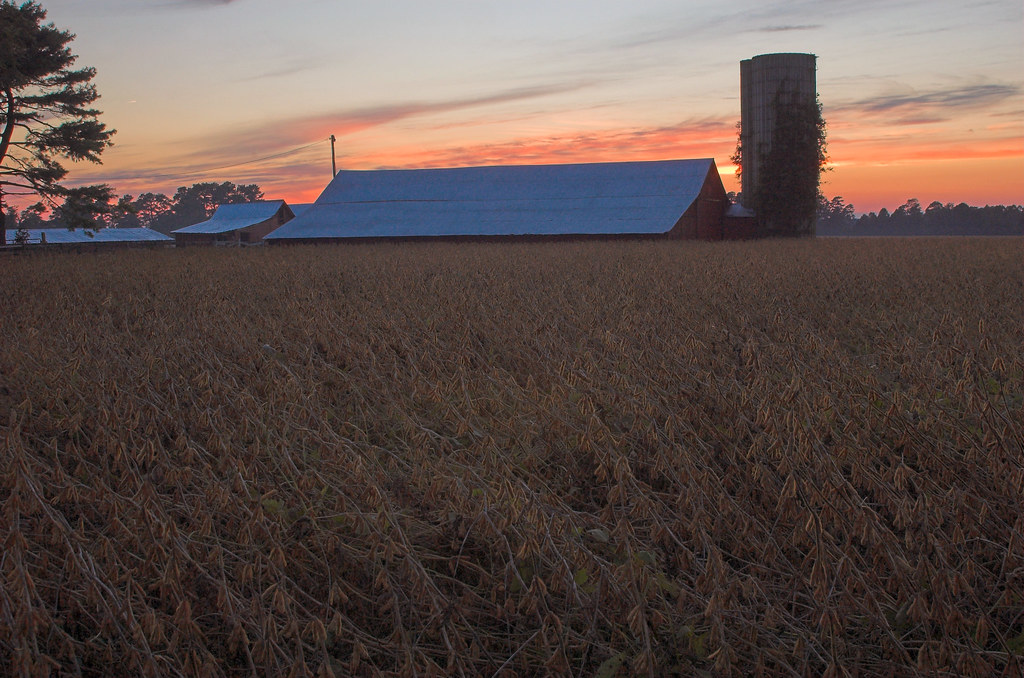
#3699 - silo_and_barn
Sunset 3

Sunset 2
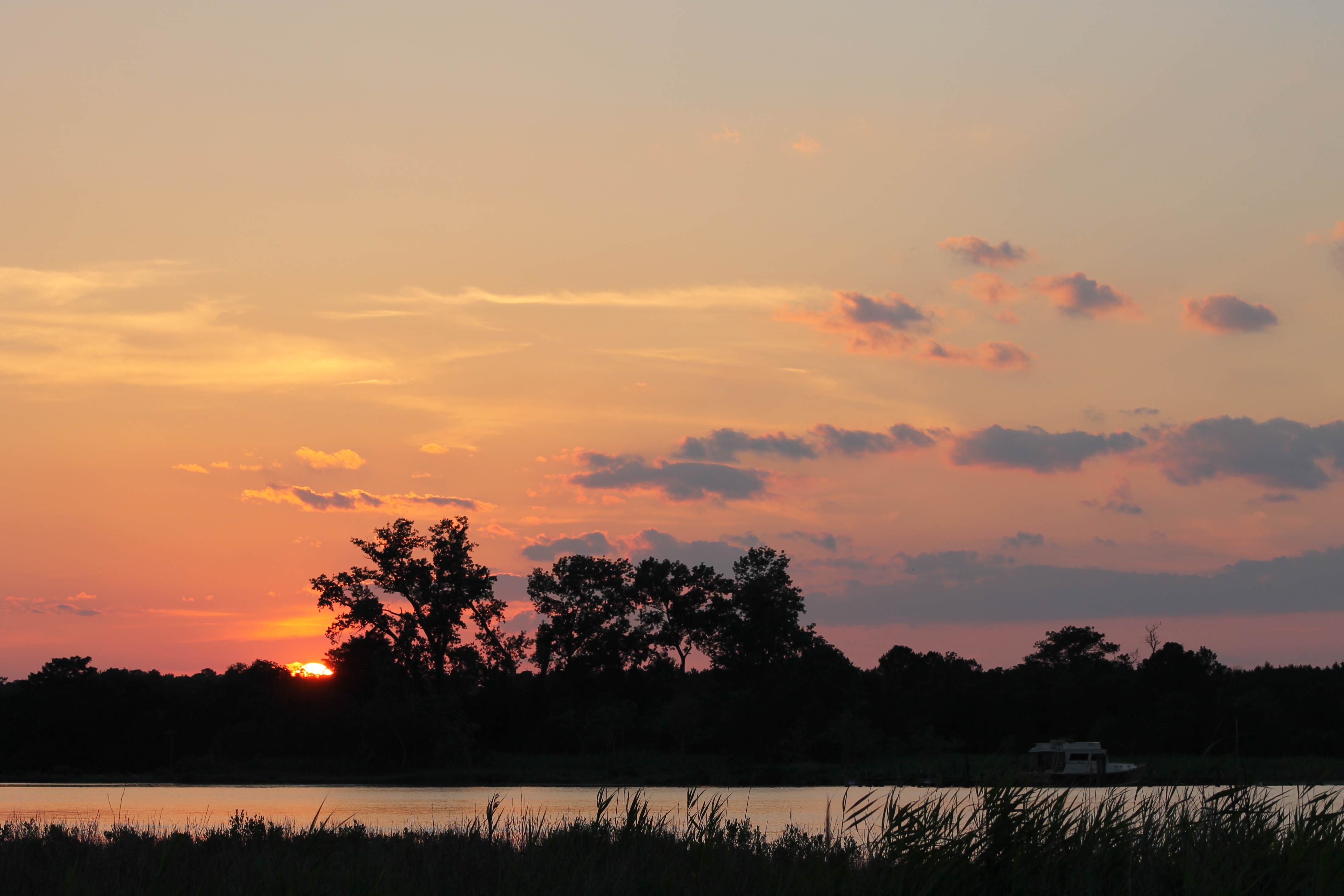
Sunset 6

2012-10-05 Pocomoke City

Whitehaven, Maryland, 2011
Costen House Garden
Eden, Maryland

My Home This Is

Eden, Maryland

Rehobeth Presbyterian Church- Somerset County MD (4)

Landing Spot
big sticks
Topographic Map of Revells Neck Rd, Westover, MD, USA
Find elevation by address:

Places near Revells Neck Rd, Westover, MD, USA:
10789 Stewart Neck Rd
11014 Stewart Neck Rd
30541 Linden Ave
Princess Anne
11948 Somerset Ave
11953 Robyn Ln
1, West Princess Anne
15, East Princess Anne
Allen Rd, Princess Anne, MD, USA
29622 Polks Rd
12883 Recycle Dr
Cooley Rd, Princess Anne, MD, USA
Oriole Rd, Princess Anne, MD, USA
Polks Rd, Princess Anne, MD, USA
5, Mount Vernon
2, St. Peters
Deal Island Rd, Princess Anne, MD, USA
Eden
Meadow Bridge Rd, Eden, MD, USA
Whitehaven
Recent Searches:
- Elevation of Elwyn Dr, Roanoke Rapids, NC, USA
- Elevation of Congressional Dr, Stevensville, MD, USA
- Elevation of Bellview Rd, McLean, VA, USA
- Elevation of Stage Island Rd, Chatham, MA, USA
- Elevation of Shibuya Scramble Crossing, 21 Udagawacho, Shibuya City, Tokyo -, Japan
- Elevation of Jadagoniai, Kaunas District Municipality, Lithuania
- Elevation of Pagonija rock, Kranto 7-oji g. 8"N, Kaunas, Lithuania
- Elevation of Co Rd 87, Jamestown, CO, USA
- Elevation of Tenjo, Cundinamarca, Colombia
- Elevation of Côte-des-Neiges, Montreal, QC H4A 3J6, Canada