Elevation of Meadow Bridge Rd, Eden, MD, USA
Location: United States > Maryland > Worcester County > 7, Atkinsons >
Longitude: -75.609808
Latitude: 38.271892
Elevation: 14m / 46feet
Barometric Pressure: 101KPa
Elevation Map:
Satellite Map:
Related Photos:

Salisbury City Park

The Blueblack Cold
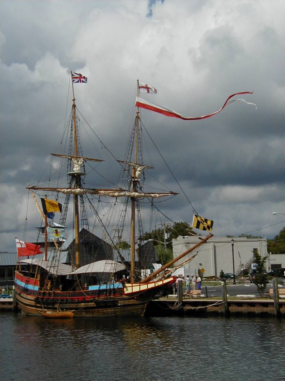
The Maryland Dove

Holloway Hall
Glory be to God for dappled things
Foggy dawn, Camden Ave., Salisbury

School daze
Sunset over Riverside Drive
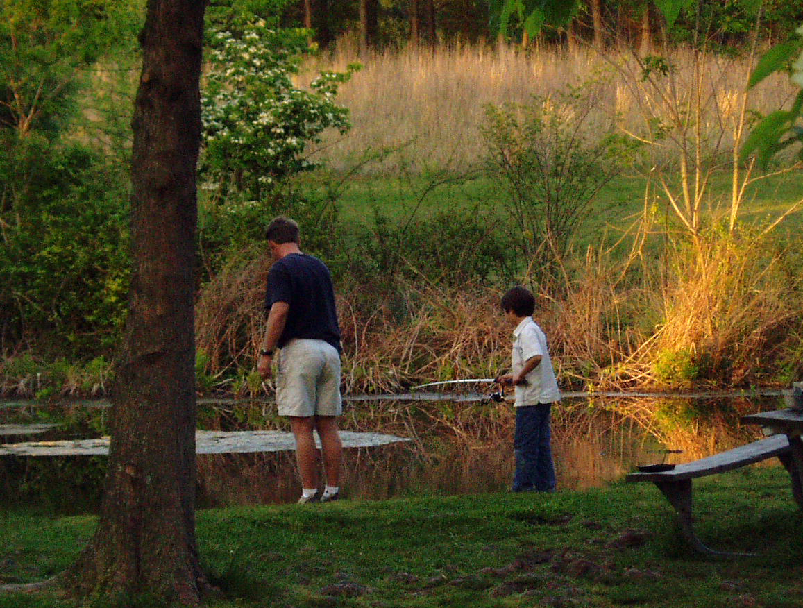
Fishing Lesson

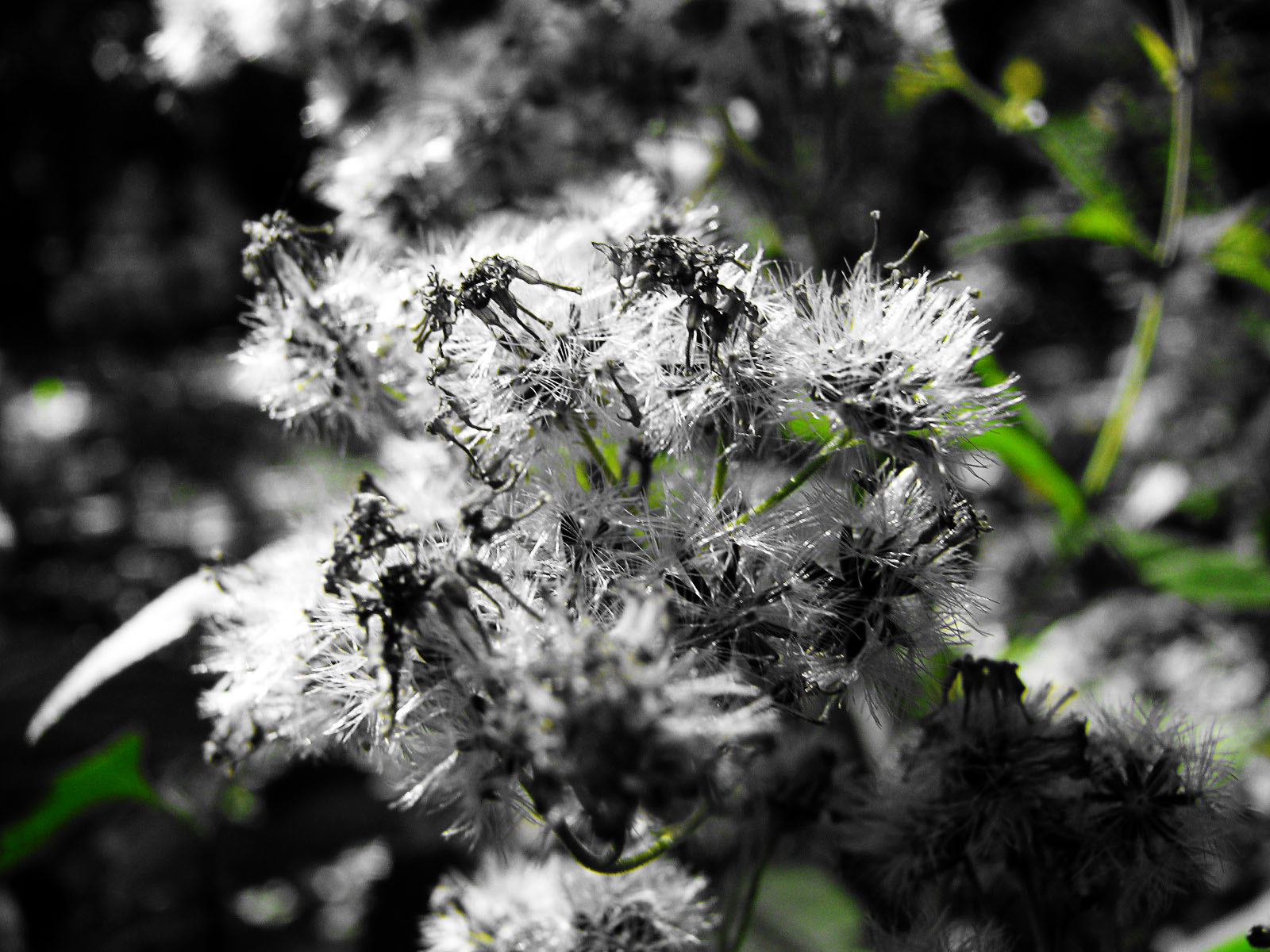
Natural abstract 1

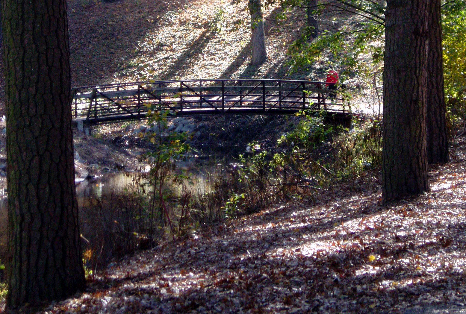
Footbridge and Loblollies

Park Foliage

Juvenile RTH

riverside dr salisbury

Park IR
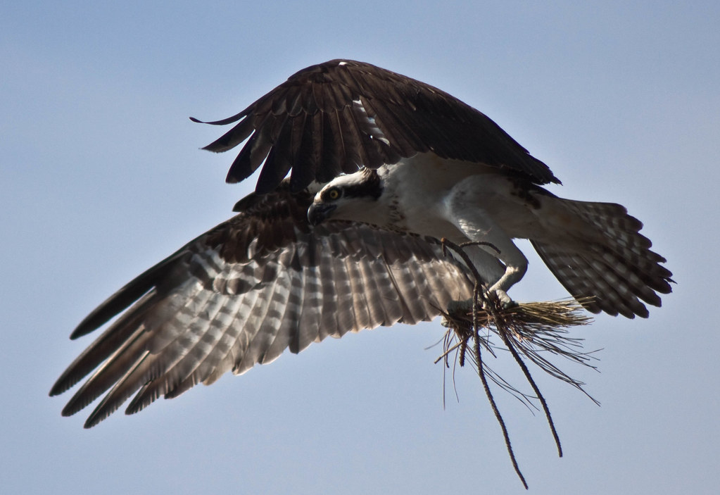
Nest Building: 101

bw version

The Path To The Infrarealm

Tropical Kingbird

Wicomico River, East Prong
Almost B&W
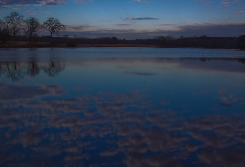
dawn reflected
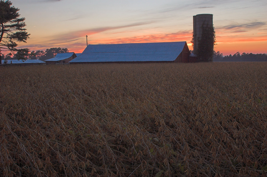
#3699 - silo_and_barn

Landing Spot

Stream view from a footbridge
Bog Lycopodium
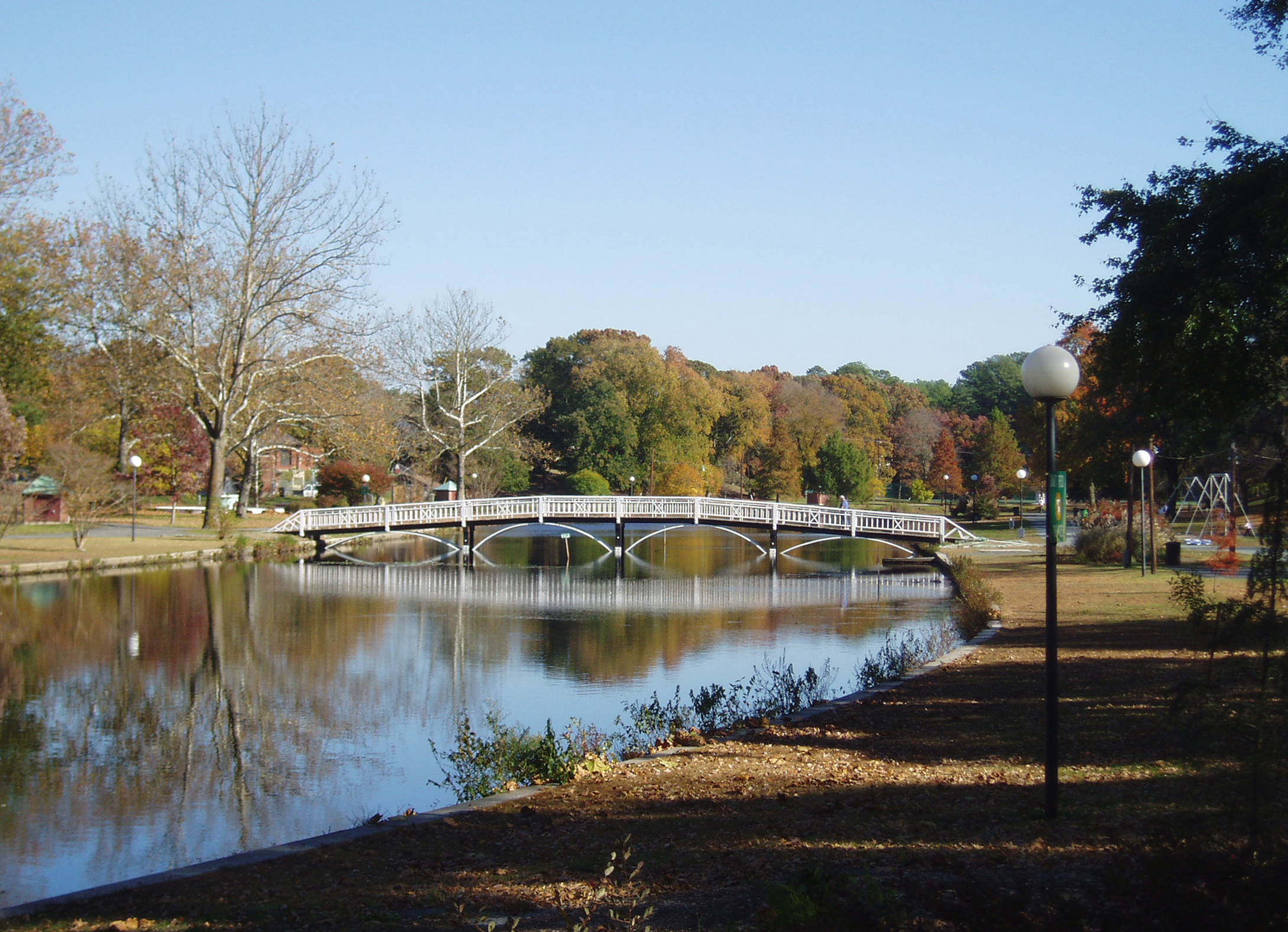
Salisbury City Park

On Peggy's Farm

Sunset in Salisbury,MD
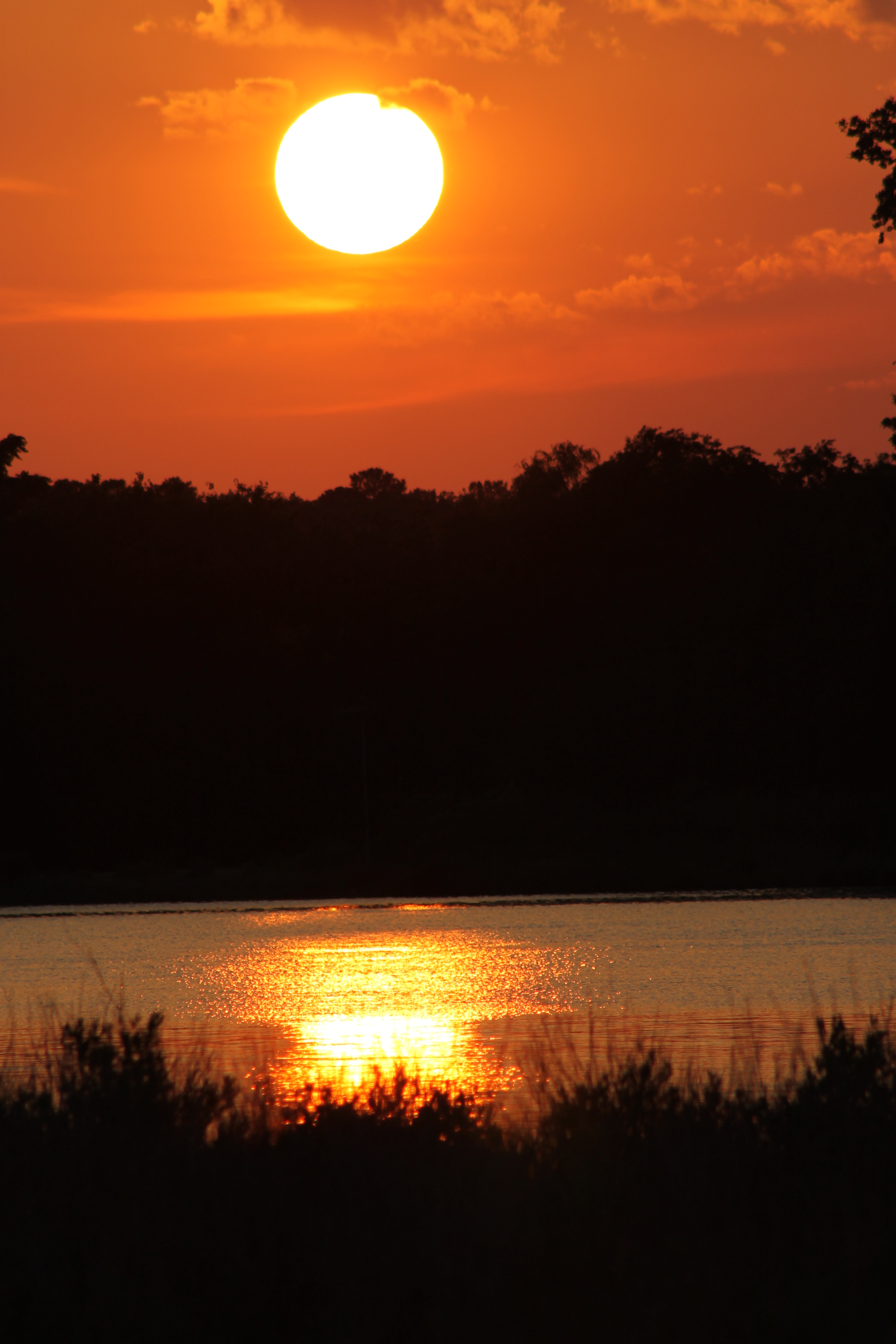
Sunset 4

Sunset 1
Marsh at Pemberton Historic Park
Today's trip to the zoo!! So much fun :)

Sunset 2

Sunset 5
Sunset 3

Stand of Trees

Salisbury Maryland

colorado horses

National Aquarium Stream Challenge
Topographic Map of Meadow Bridge Rd, Eden, MD, USA
Find elevation by address:

Places near Meadow Bridge Rd, Eden, MD, USA:
104 Moonglow Rd
Doe Run Dr, Salisbury, MD, USA
12883 Recycle Dr
Eden
401 E Main St
16, Fruitland
1809 W Clear Lake Dr
Allen Rd, Princess Anne, MD, USA
15, East Princess Anne
11948 Somerset Ave
Princess Anne
30541 Linden Ave
Cooley Rd, Princess Anne, MD, USA
29622 Polks Rd
11953 Robyn Ln
11014 Stewart Neck Rd
10789 Stewart Neck Rd
1, West Princess Anne
Polks Rd, Princess Anne, MD, USA
4111 Rivermere Ln
Recent Searches:
- Elevation of Corso Fratelli Cairoli, 35, Macerata MC, Italy
- Elevation of Tallevast Rd, Sarasota, FL, USA
- Elevation of 4th St E, Sonoma, CA, USA
- Elevation of Black Hollow Rd, Pennsdale, PA, USA
- Elevation of Oakland Ave, Williamsport, PA, USA
- Elevation of Pedrógão Grande, Portugal
- Elevation of Klee Dr, Martinsburg, WV, USA
- Elevation of Via Roma, Pieranica CR, Italy
- Elevation of Tavkvetili Mountain, Georgia
- Elevation of Hartfords Bluff Cir, Mt Pleasant, SC, USA