Elevation of Oriole Rd, Princess Anne, MD, USA
Location: United States > Maryland > Somerset County > 2, St. Peters >
Longitude: -75.808425
Latitude: 38.172924
Elevation: 1m / 3feet
Barometric Pressure: 101KPa
Elevation Map:
Satellite Map:
Related Photos:

Storm and Mist

Tropical Kingbird
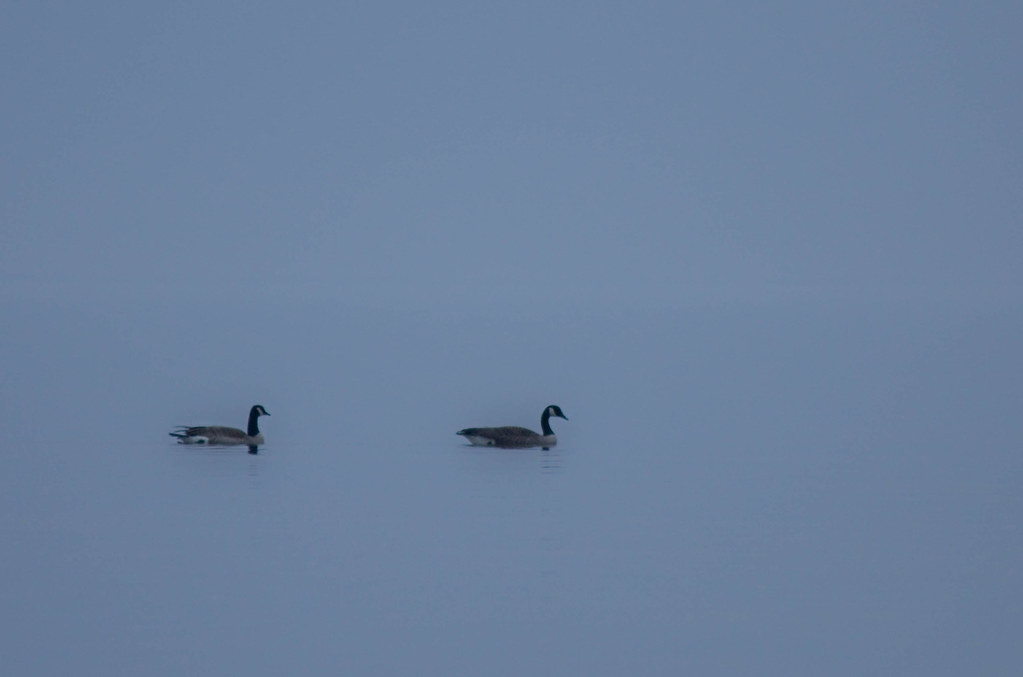
'Ats a lot of blue, eh?
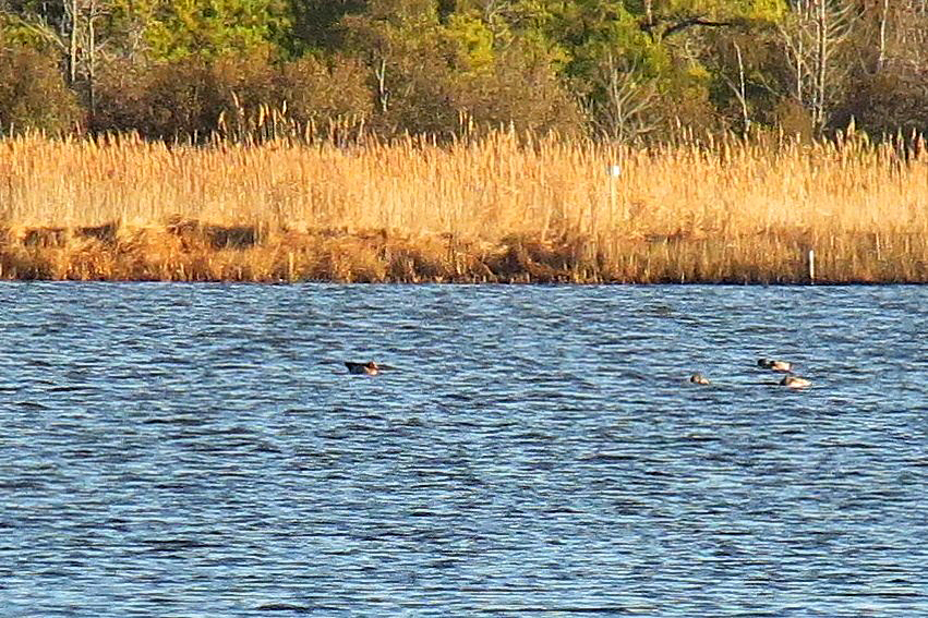
Eurasian Wigeon

Trail view two

Trail view

Good Friday in Westover, Maryland

Summer Dayz

Sunset 4

Sunset 1

#sunset

Sunset 5

Sunset 3

Sunset 2
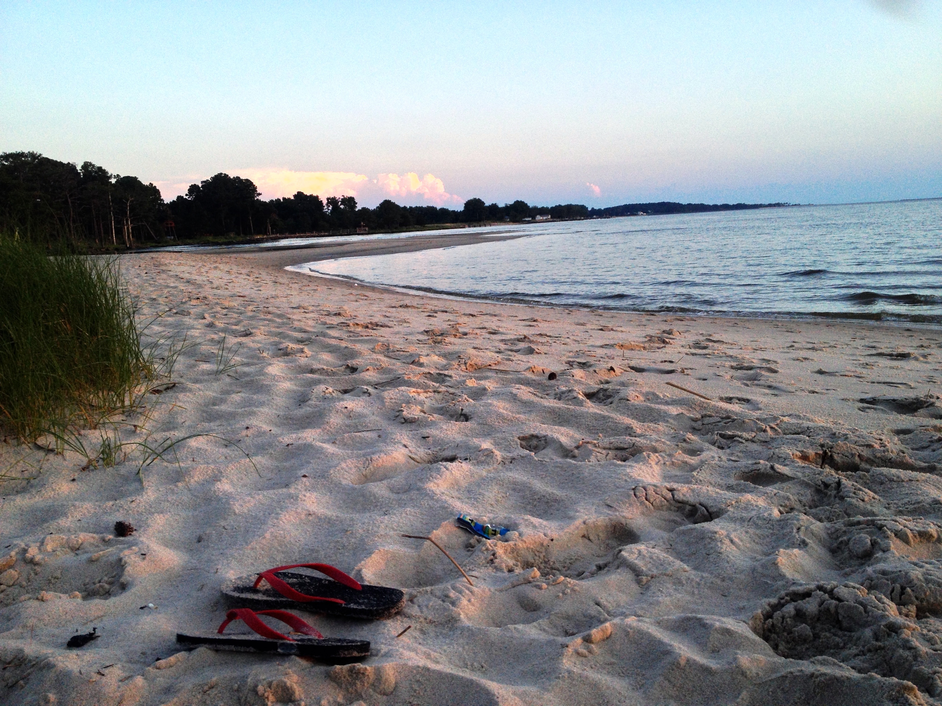
chesapeake bay beach

summer dayz

Sunset 6

Roaring Point Sept 22 2012 040

Roaring Point 1
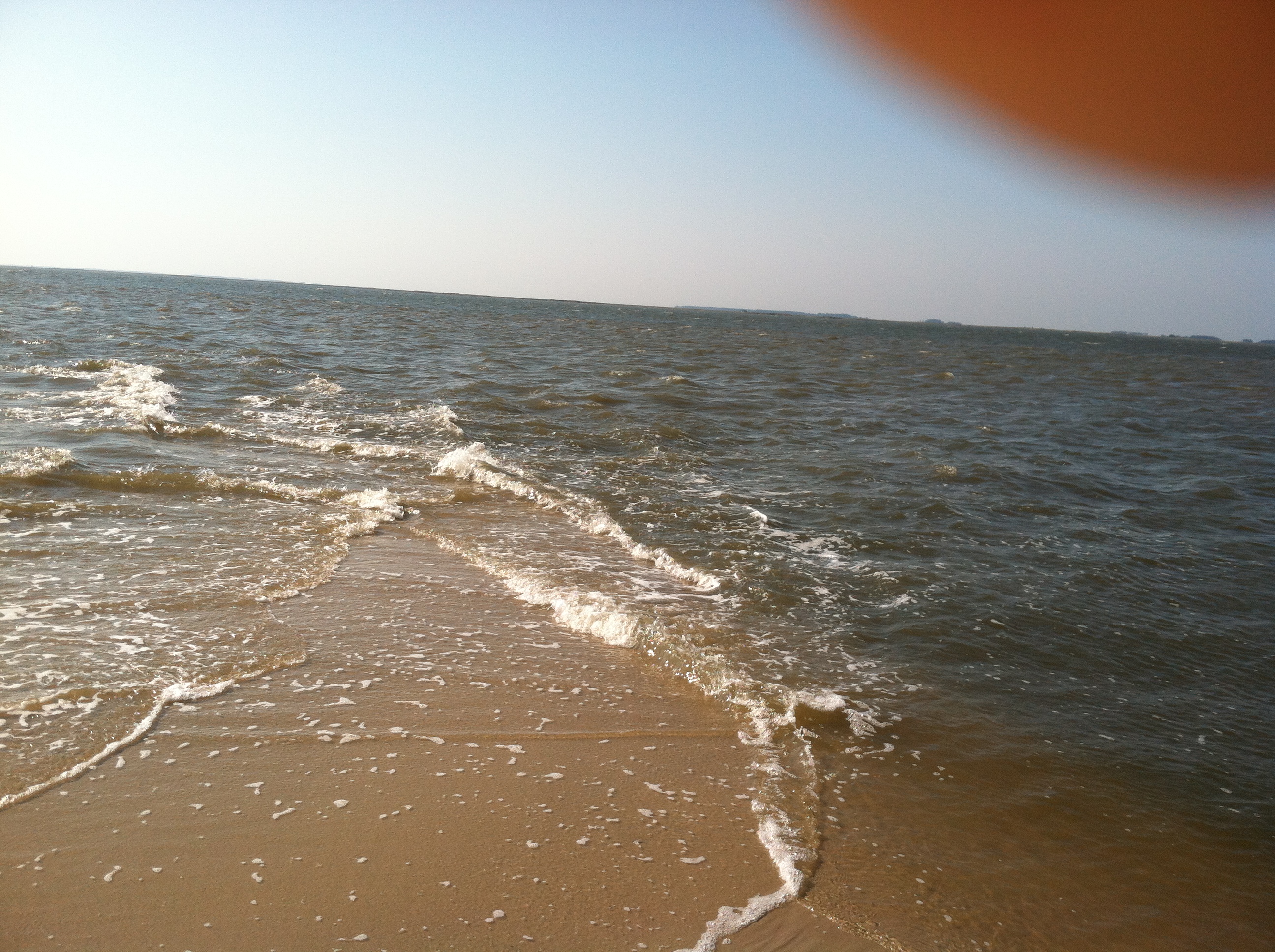
Roaring Point Sept 22 2012 038

Whitehaven, Maryland, 2011

Deal Island, Md.

#3699 - silo_and_barn

Deal Island, Md.

Deal Island, Md.

Deal Island, Md.

Just ride.

20150528-IMG_2756
Topographic Map of Oriole Rd, Princess Anne, MD, USA
Find elevation by address:

Places near Oriole Rd, Princess Anne, MD, USA:
2, St. Peters
Deal Island Rd, Princess Anne, MD, USA
26599 Mt Vernon Rd
Mount Vernon
5, Mount Vernon
1, West Princess Anne
Steele Dr, Tyaskin, MD, USA
Dames Quarter
Whitehaven
2916 Whitehaven Rd
Clara Rd, Tyaskin, MD, USA
11953 Robyn Ln
10789 Stewart Neck Rd
Polks Rd, Princess Anne, MD, USA
11014 Stewart Neck Rd
Tyaskin, MD, USA
Revells Neck Rd, Westover, MD, USA
30541 Linden Ave
11948 Somerset Ave
Princess Anne
Recent Searches:
- Elevation of Congressional Dr, Stevensville, MD, USA
- Elevation of Bellview Rd, McLean, VA, USA
- Elevation of Stage Island Rd, Chatham, MA, USA
- Elevation of Shibuya Scramble Crossing, 21 Udagawacho, Shibuya City, Tokyo -, Japan
- Elevation of Jadagoniai, Kaunas District Municipality, Lithuania
- Elevation of Pagonija rock, Kranto 7-oji g. 8"N, Kaunas, Lithuania
- Elevation of Co Rd 87, Jamestown, CO, USA
- Elevation of Tenjo, Cundinamarca, Colombia
- Elevation of Côte-des-Neiges, Montreal, QC H4A 3J6, Canada
- Elevation of Bobcat Dr, Helena, MT, USA