Elevation of Reservoir Road, Reservoir Rd, Rugby CV21, UK

Location: United Kingdom > England > Warwickshire >

Longitude: -1.2471542

Latitude: 52.3860239

Elevation: 91m / 299feet

Barometric Pressure: 100KPa

Elevation Map:

elevation map of Reservoir Road, Reservoir Rd, Rugby CV21, UK

Satellite Map:

Satellite map of Reservoir Road, Reservoir Rd, Rugby CV21, UK

Related Photos:

geotagged leicestershire canon450d pdeee454 patdalton geo:lat=52497205 geo:lon=1101165
The Trees.
rugby warwickshire dove window tree
My Friend the Visitor
stmarieschurch rugby warwickshire
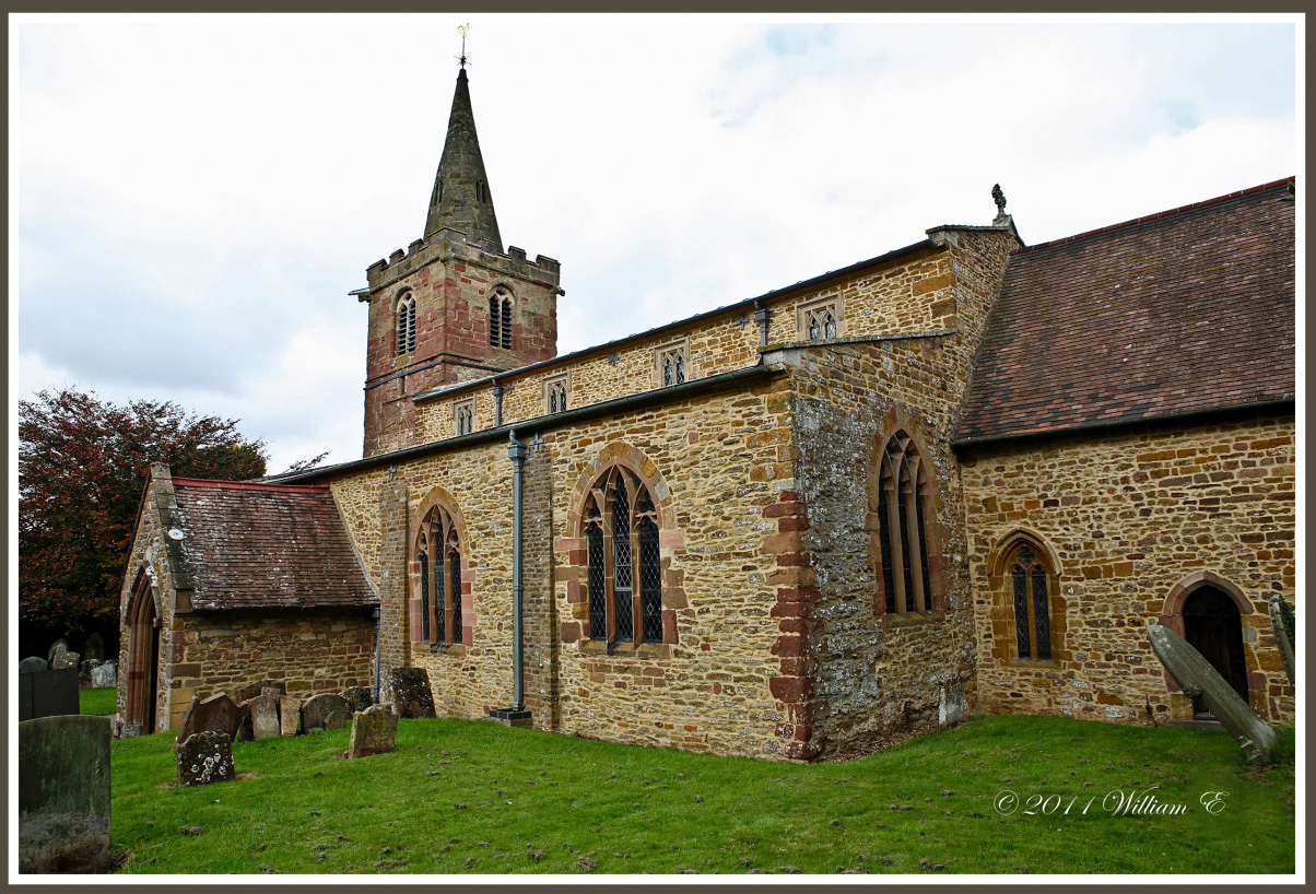
St. Marie's R.C. Church, Rugby.
geotagged geo:lat=5247188334496564 geo:lon=11364943005859232
The lake
geotagged geo:lat=52509091 geo:lon=1171803
The Old Farm.
door shadow building sunshine geotagged leicestershire pavement timber farm bricks ashbymagna canon450d sigma1770lens pdeee454 patdalton geo:lat=52509254 geo:lon=117177
Brick and Timber.
stpeterschurch dunchurch warwickshireshrubs
St Peter's Church, Dunchurch
england history northamptonshire guyfawkes parliament bates manorhouse beggars catesby gunpowderplot ashbystledgers
English History- Manor House and Gatehouse. Ashby St. Ledgers, England.
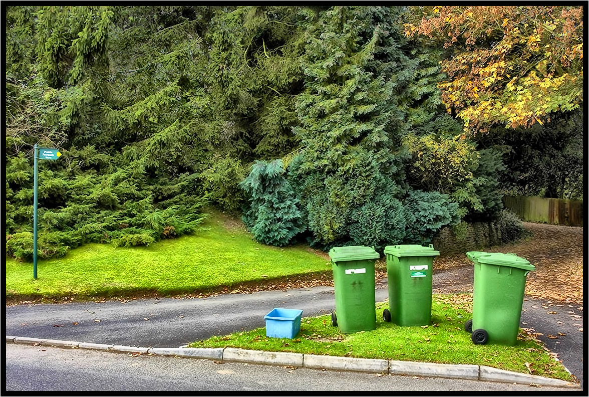
blue trees green grass leaves sign yellow fence geotagged post leicestershire box stones plastic rubbish arrow kerb footpath bins wheely canon450d sigma1770lens peatlingparva pdeee454 patdalton geo:lat=52501148 geo:lon=1133402
The Footpath Sign.
winter snow garden chaffinch canon7dmarkii bird birdphotography avian nature tree wildlife
Chaffinch - I really could do without this!
nature birds pigeon columbine canon
Nature - Pigeon - Columbidae.
bridgeno46 husbandsbosworth broadlanebridge grandunioncanal canal towpath bridge trees water reflections green greenery canalboat narrowboat nature outdoors leicestershire countrywalks
No/46 Broad Lane Bridge
trees sky grass buildings reflections geotagged shadows mud leicestershire farm plastic hay puddles muck canon450d sigma1770lens geo:lat=52498615 ashbyroad pdeee454 patdalton geo:lon=1148758
As it is.
wood roof england history church woodwork carving soe woodcarving timbers roodscreen ashbystledgers
View FULL SIZE for Detail - History - Ancient Roof Timbers & Rood Screen in Church of Blessed Virgin Mary & St.- Leodegarius Ashby St Ledgers, England.
geotagged geo:lat=52499687 geo:lon=1148179
The Ruts.
church northamptonshire churches 1000 1000years kilsbystfaithshistorynorthamptonshiresandstonemedieval
1000 Years of History. St FAITH'S CHURCH, Kilsby, Northamptonshire, England.
old england building stone sandstone northamptonshire structure gable longbuckby
View Full Size to see the Beauty - Gable End of Old Building showing beautiful Golden Brown Northamptonshire Sandstone in the Sunlight.
painterly building church outdoor serene coventry wrs iphone listedbuilding brushstroke photoborder iphone365 snapseed phototoaster cortexcamera
Day 85 of 366 - The Church of St Michael!
trees sky sunlight grass leaves geotagged track shadows leicestershire hedge bushes canon450d sigma1770lens pdeee454 patdalton geo:lat=52502528 geo:lon=1147299
The Old Track.
geotagged geo:lat=52502495 geo:lon=114732
The Blue Plastic Pipe.
trees field grass geotagged post mud leicestershire harvest tracks bushes hedges canon450d sigma1770lens peatlingparva ashbyroad geo:lat=52503429 pdeee454 patdalton geo:lon=1146811
After The Harvest.
teasles thistles reflection reflections ryton warwickshire rytonpools countrypark country park light golden glow canon 350d 1855mm f8 april 2008 sun sunny bubbenhall gentle green yellow water pond mood colour colours color colors uk unitedkingdom england greatbritain britain gb europe canon350d photography dslr calm tranquil
Teasles and Reflections
mist tree field canon corn 70200 warwickshire f4l 40d
Dragons Tree
northamptonshire countryside lane view landscape braunston trees
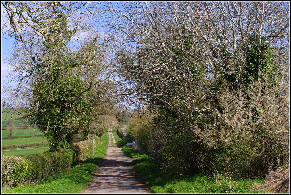
Northamptonshire Country Lane
canal northampton hill northamptonshire cracks northants hdr crick
Cracks Hill
leaves leaf
Spring 2
geotagged geo:lon=1256325 geo:lat=52493312
Two Crows.
Just a view from the Park
Willoughby Wharf-Oxford canal
canoneos400d canon eos 400d canonefs1785mmf456isusm efs 1785mm f456 is usm england uk unitedkingdom united kingdom project52 project 52 project522013 3sept13 3rdseptember2013 3rd september 2013 september2013 village dunchurch rugby warwickshire rugbywarwickshire englishvillage dunchurchwarwickshire dunchurchvillage draycote water draycotewater reservoir draycotewaterreservoir country park countrypark severn trent severntrentwater longexposure slowshutterspeed slow shutter speed tripod remote timeexposure time exposure sunset redsky d europe eosdeurope
Sunset over Draycote Water (36/52)
blue trees houses winter sky green leaves lines sunshine buildings geotagged shadows leicestershire farm tracks rows crop fields hedges bruntingthorpe canon450d sigma1020lens pdeee454 patdalton geo:lat=52497858 geo:lon=1101422
Barley Lines.
life road flowers 2 wild england 3 flower macro bird nature birds canon butterfly insect lens prime is spring seasons angle natural britain spiders mark wildlife bruce united iii 14 steve great wide moth may brandon butterflies insects wideangle x 100mm creepy telephoto fungus moths l hart steven marsh usm 20 coventry standard 70300mm ef 3rd fisheyes extender crawley 6d wilds 400mm wyke fungii 2015 kingdon 1635mm 24105mm wyken f56l boddle 815mm
Brandon Marsh 3rd May 2015
square squareformat iphoneography instagramapp uploaded:by=instagram foursquare:venue=4c126f6da9c220a1f0f5539d
I'll take you on a journey with me.
cloud square squareformat hefe cloudporn iphoneography instagramapp uploaded:by=instagram
Out walking with charlie beagle #cloud #cloudporn
autumn haze day304 day304365 365the2015edition 3652015 31oct15
Autumn Haze
square squareformat iphoneography instagramapp uploaded:by=instagram
Beautiful Northamptonshire countryside