Elevation of Stanford on Avon, Northampton NN6, UK
Location: United Kingdom > England > Northamptonshire >
Longitude: -1.133682
Latitude: 52.40355
Elevation: 101m / 331feet
Barometric Pressure: 100KPa
Elevation Map:
Satellite Map:
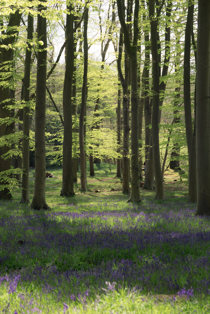
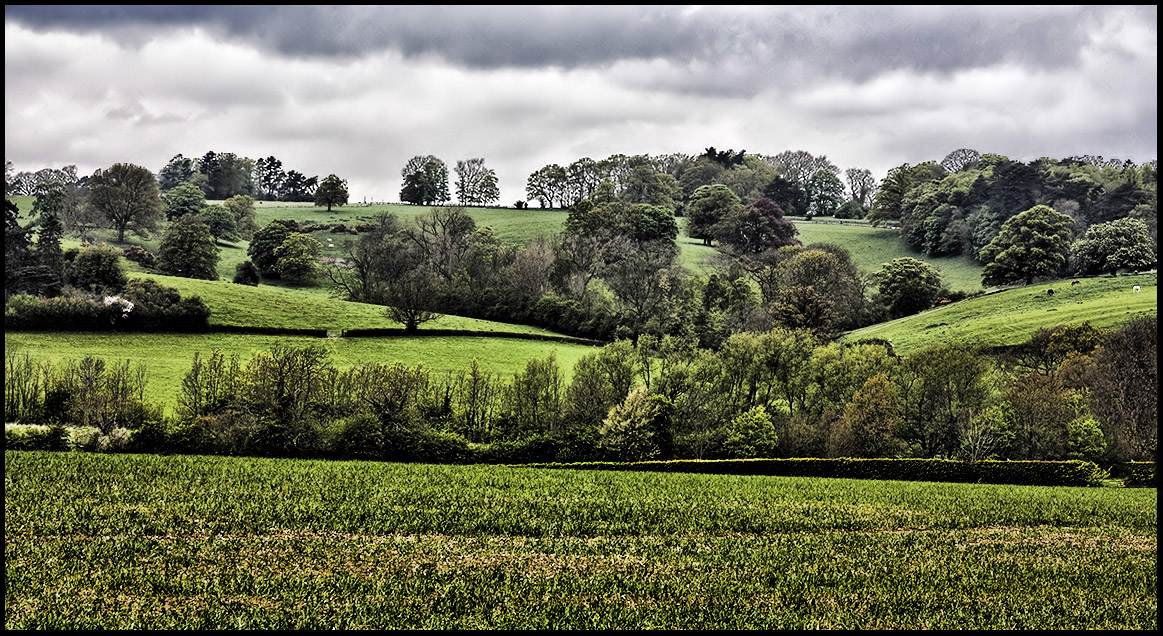
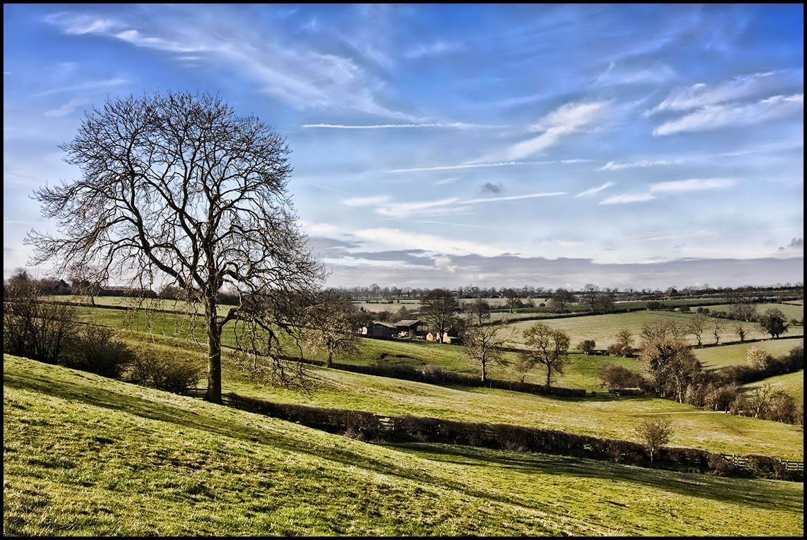
Related Photos:
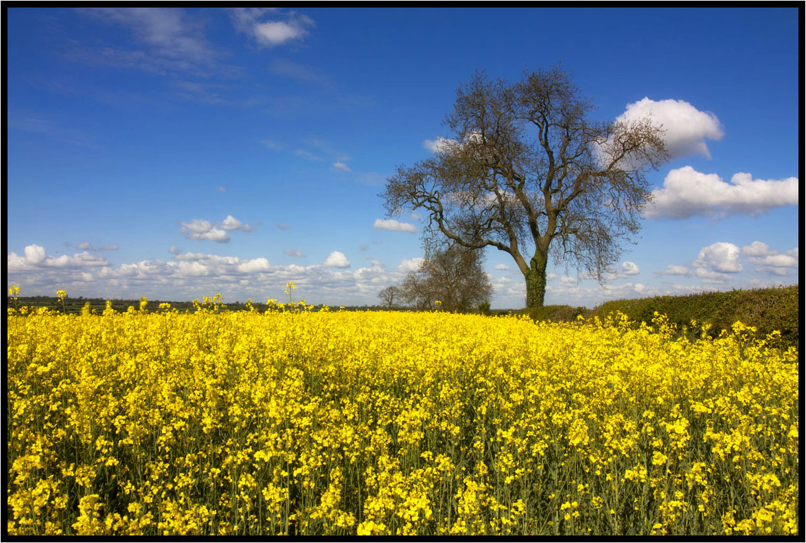
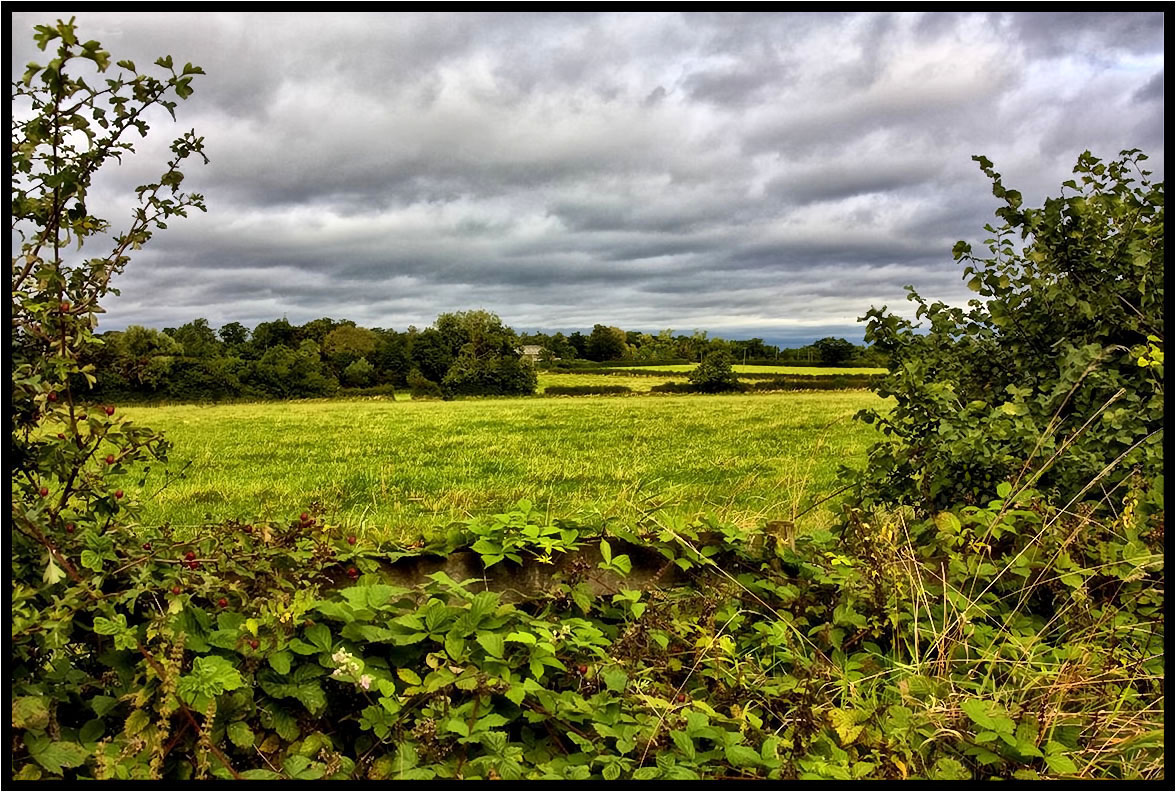
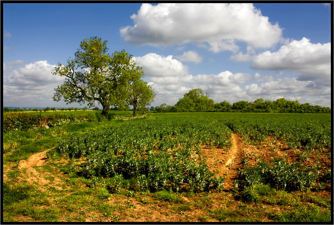
That field again.
15 - 46.

The Path.
A Footpath.
Under The Clouds.
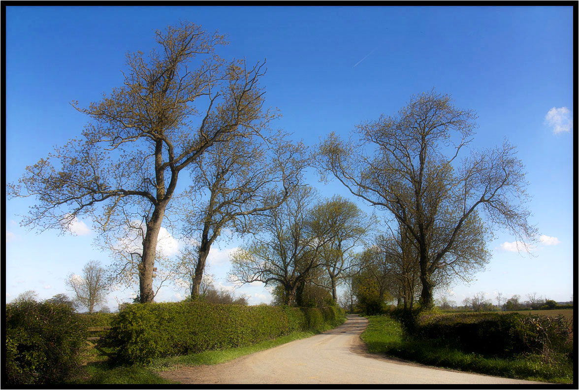
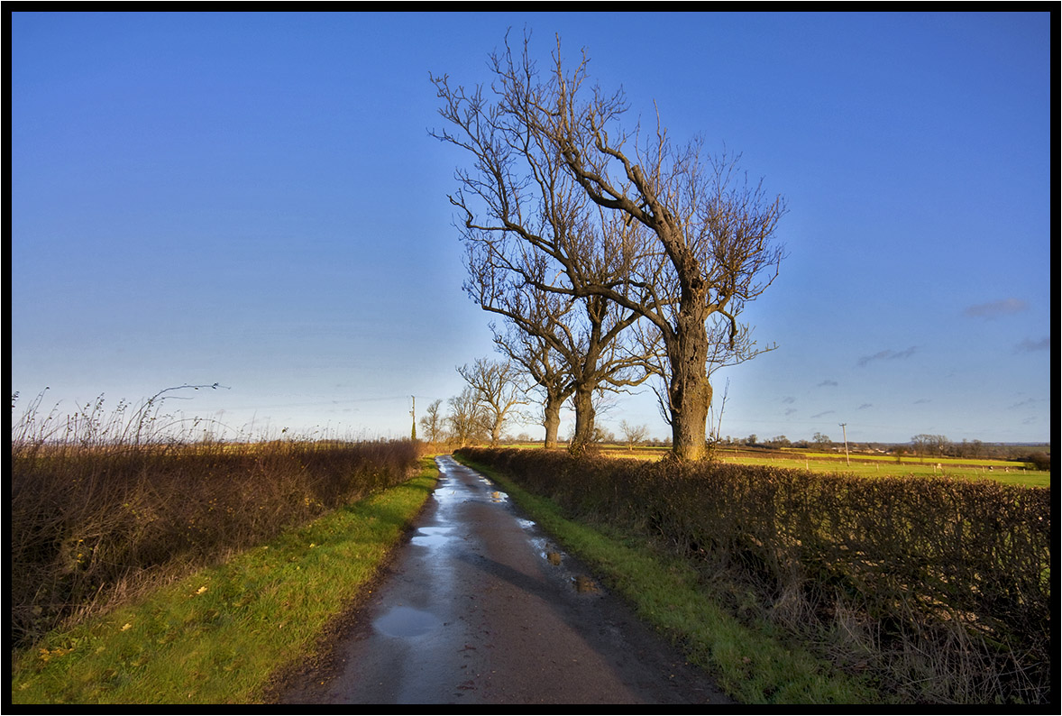
Country Lane.
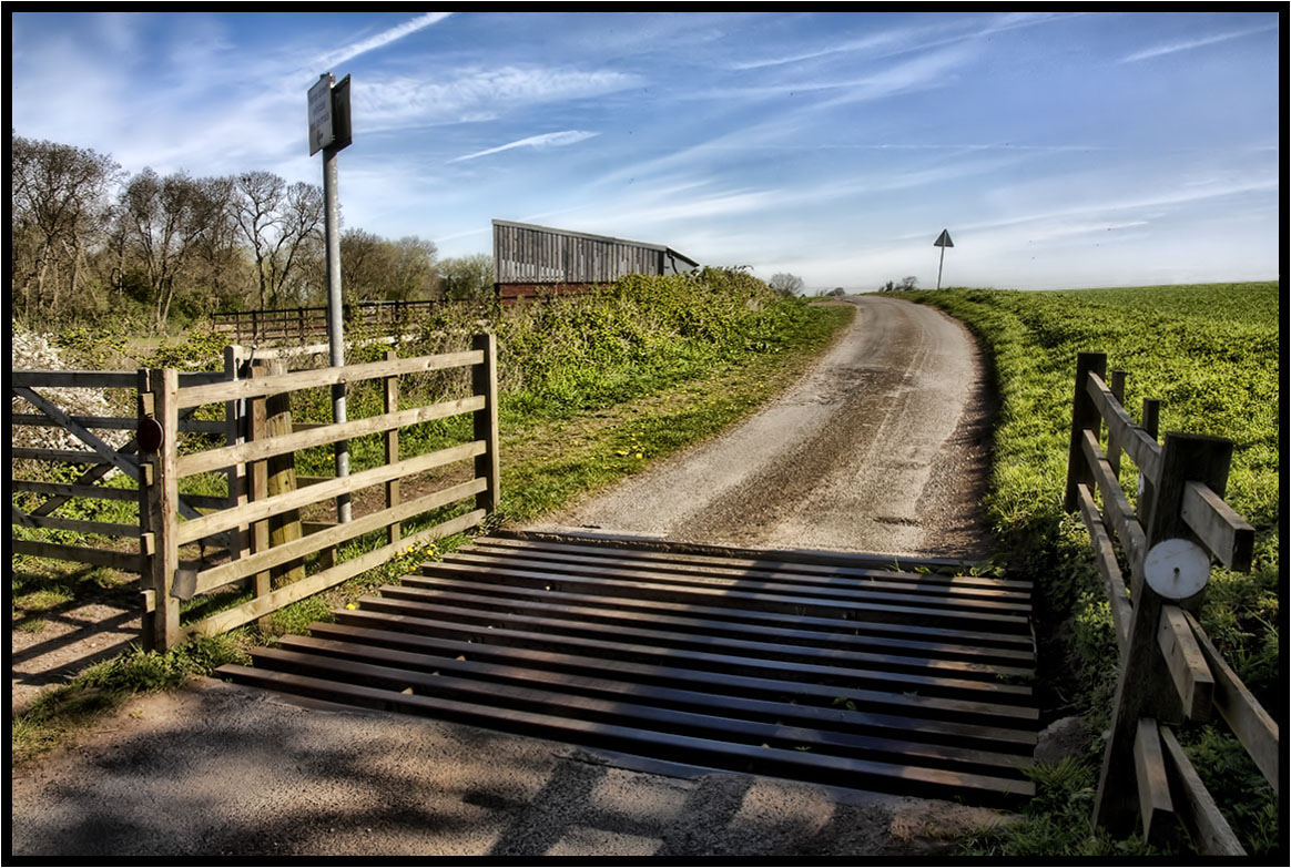
The Cattle Grid.
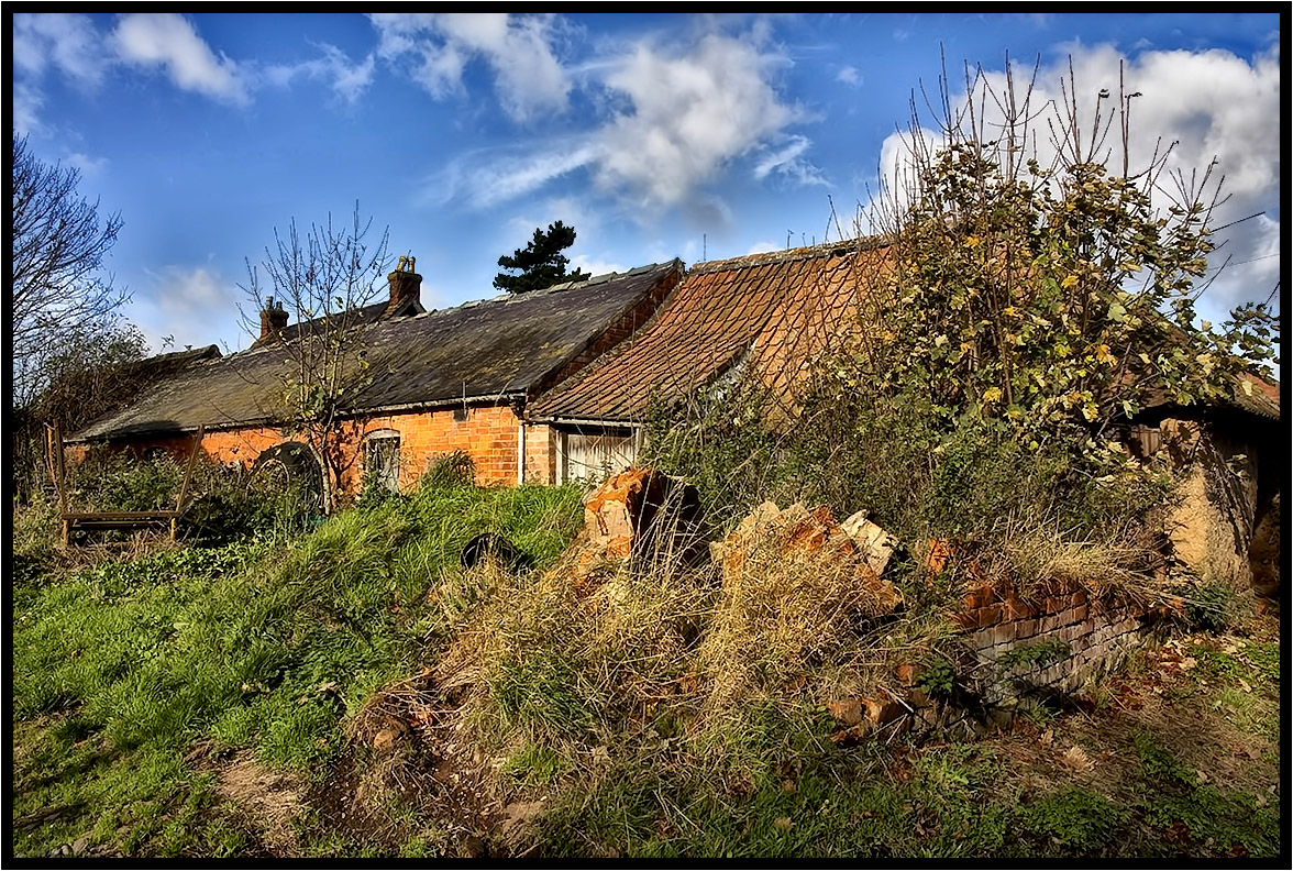
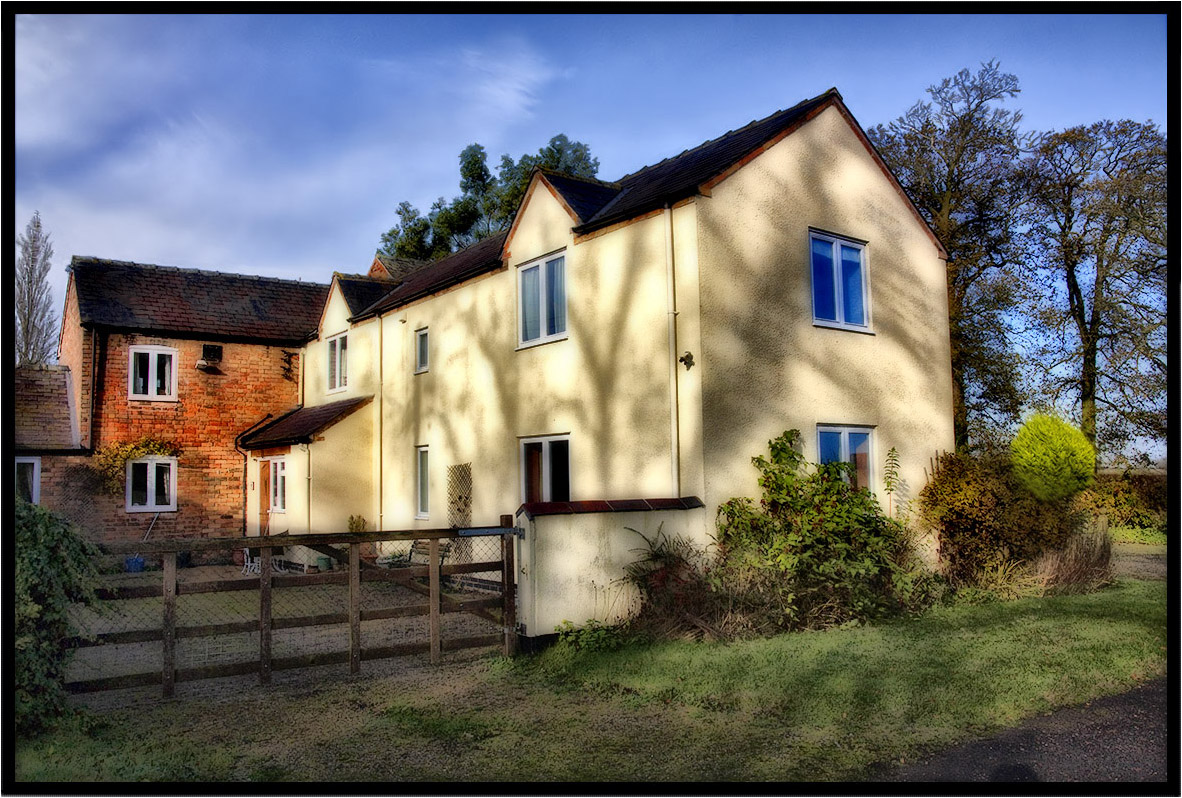
The Old Farm.
Country Lane
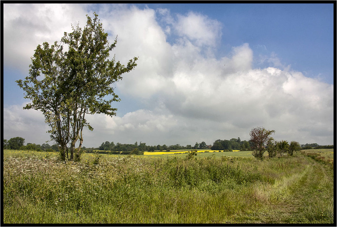
Across the fields.
The Prevailing Wind.
Tree Shadows.

The runner.
A Light Breeze.
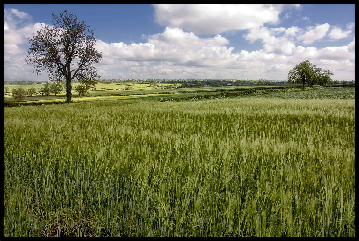
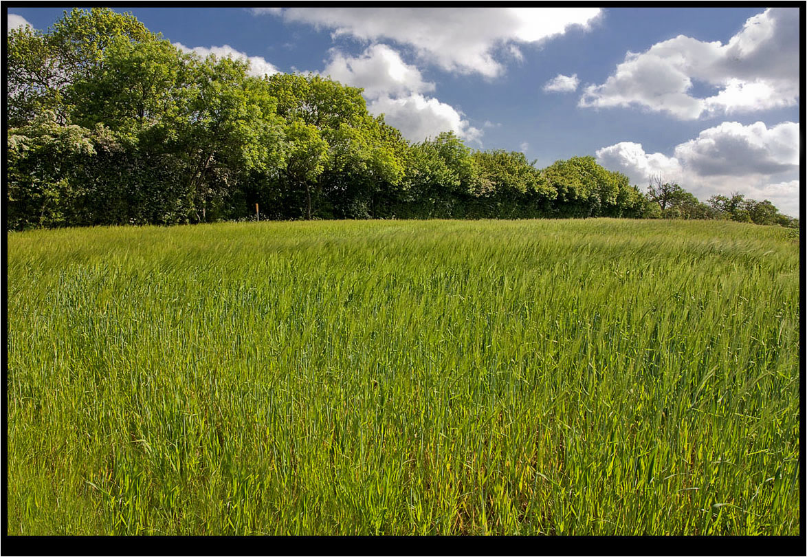
The Young Crop.
Two Crows.
The Photographer.
The Trees.

Cracks Hill

It may not be the right way to pray
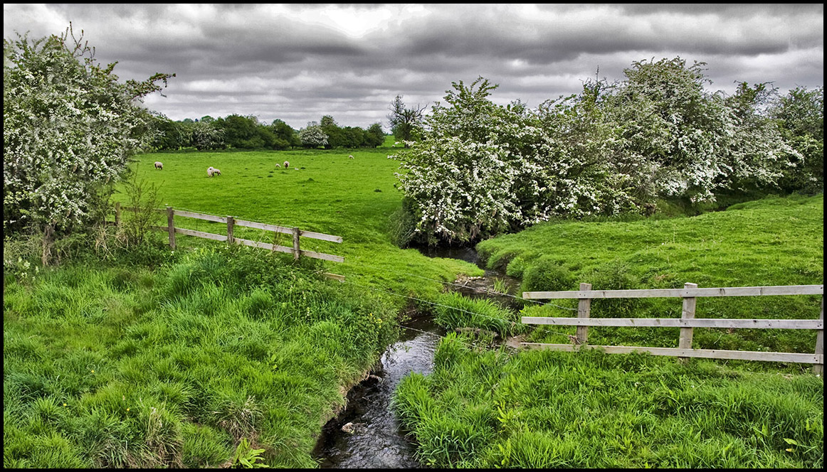
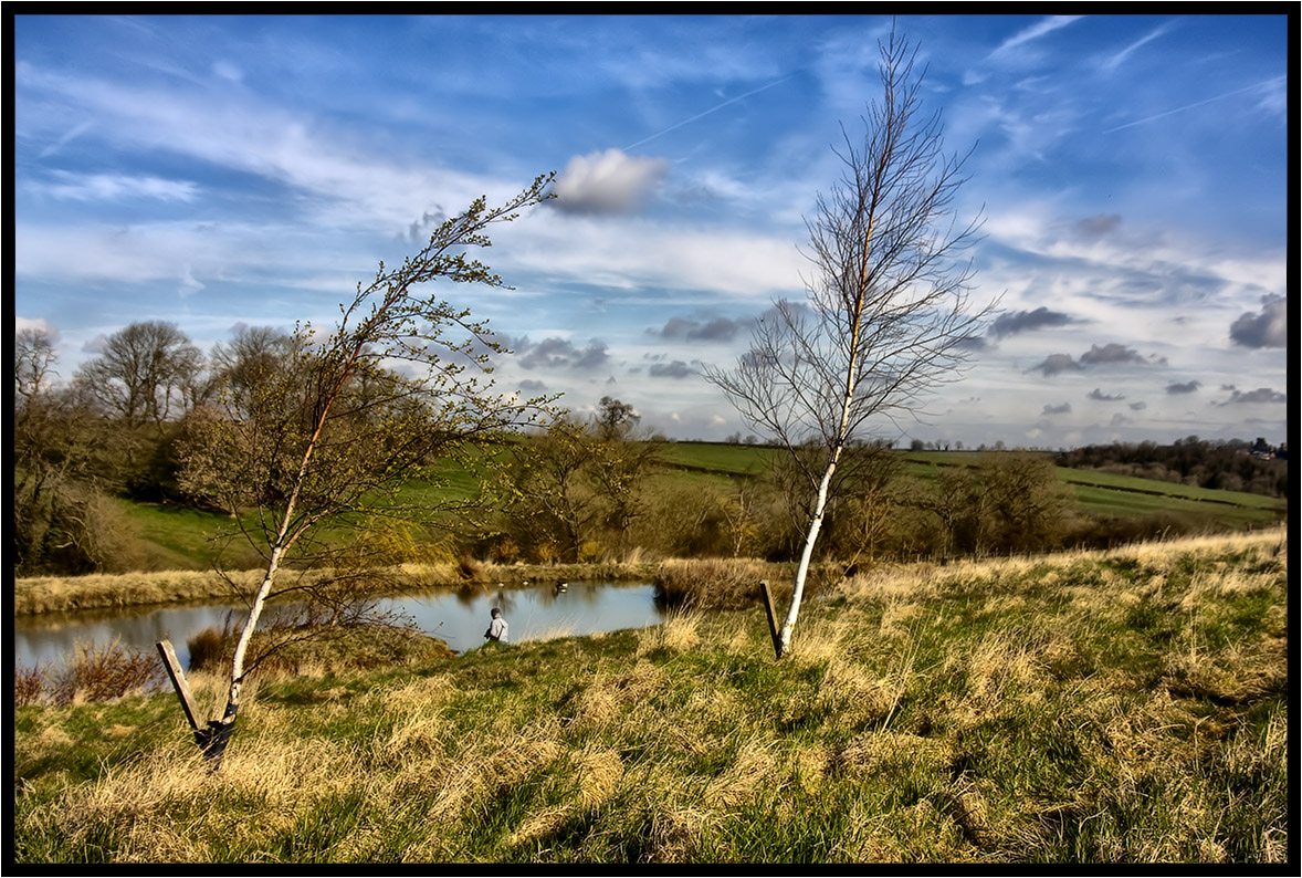
The Little Stream.

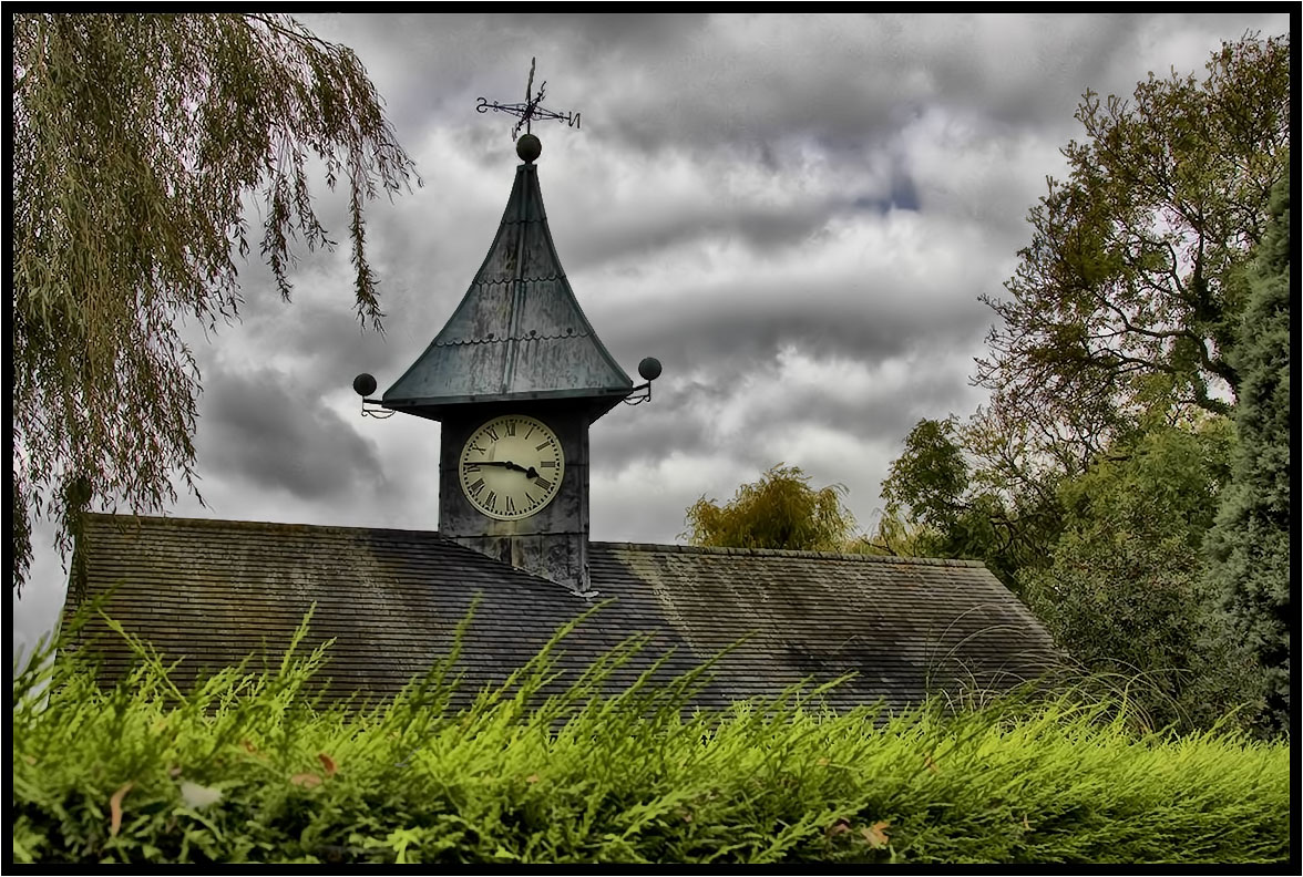
Blot On The Landscape
IMG_9795.jpg

New Day
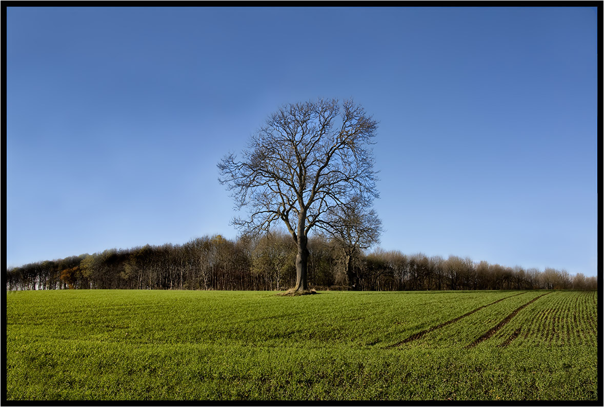
The Lonely One.
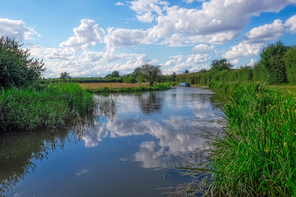
Grand Union Canal, Saddington, Leicestershire
IMG_9793.jpg

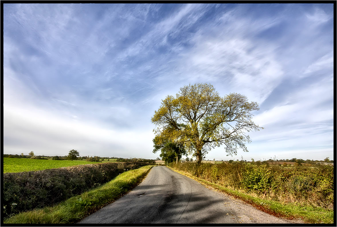
Country Lane.
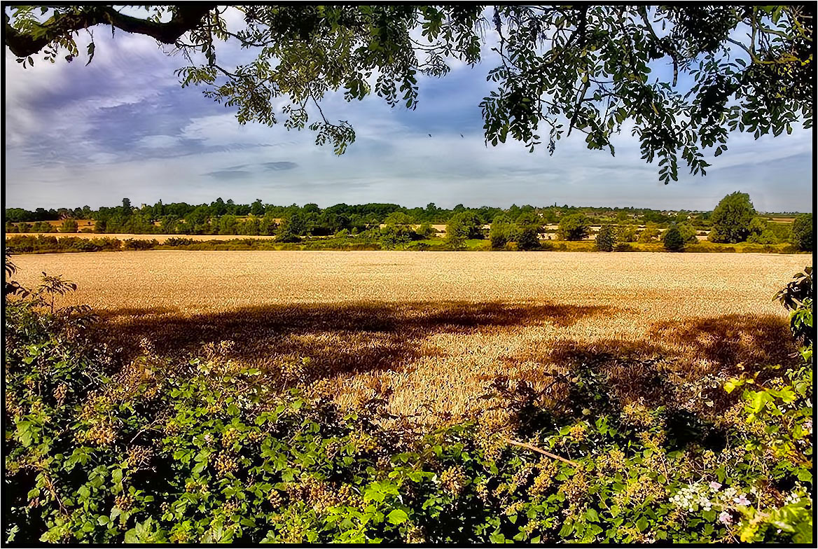
Across The Fields 2.
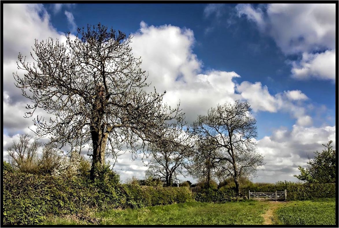
The Footpath Gate.
South Leicester-shire.
Topographic Map of Stanford on Avon, Northampton NN6, UK
Find elevation by address:

Places in Stanford on Avon, Northampton NN6, UK:
Places near Stanford on Avon, Northampton NN6, UK:
Kingsbury House
Nn6 7gz
England
Lutterworth Road
Lutterworth
Gilmorton
Brownsover
Reservoir Road
A5
Parkend
Retrent Farm Cottage
Willoughby Waterleys
Swift Park
Nn11 0gh
Rugby
Cv21 2nh
Parnell Close
Naseby
Cv22 6hy
Daventry
Recent Searches:
- Elevation of Kreuzburger Weg 13, Düsseldorf, Germany
- Elevation of Gateway Blvd SE, Canton, OH, USA
- Elevation of East W.T. Harris Boulevard, E W.T. Harris Blvd, Charlotte, NC, USA
- Elevation of West Sugar Creek, Charlotte, NC, USA
- Elevation of Wayland, NY, USA
- Elevation of Steadfast Ct, Daphne, AL, USA
- Elevation of Lagasgasan, X+CQH, Tiaong, Quezon, Philippines
- Elevation of Rojo Ct, Atascadero, CA, USA
- Elevation of Flagstaff Drive, Flagstaff Dr, North Carolina, USA
- Elevation of Avery Ln, Lakeland, FL, USA