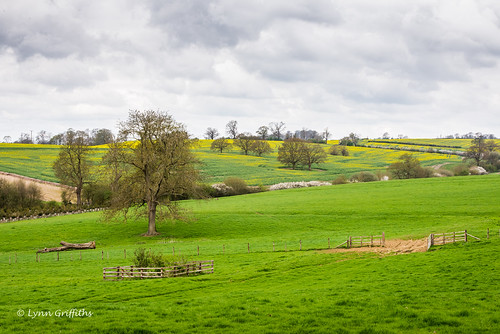
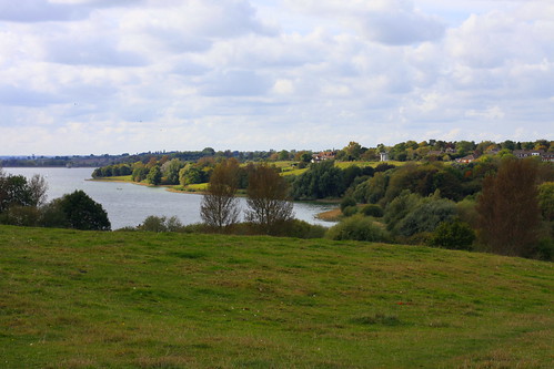
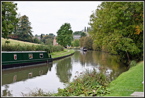
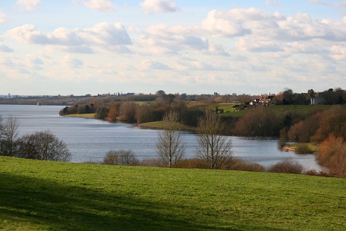
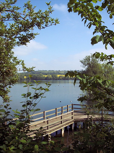
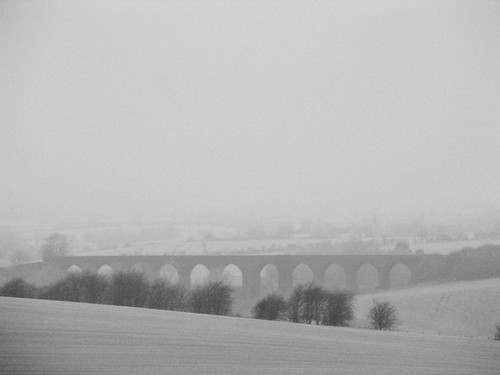
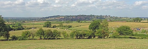
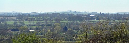
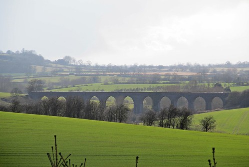
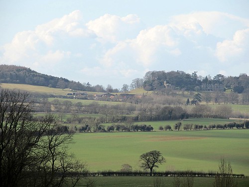
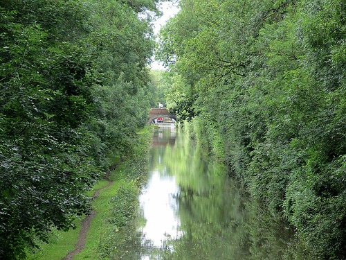
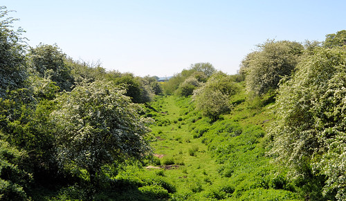
Elevation map of England, UK
Location: United Kingdom >
Longitude: -1.1743197
Latitude: 52.3555177
Elevation: 105m / 344feet
Barometric Pressure: 100KPa
Related Photos:
Topographic Map of England, UK
Find elevation by address:

Places in England, UK:
Lincolnshire
Greater London
West Yorkshire
Greater Manchester
Kent
Devon
North Yorkshire
Northumberland
Lancashire
Cornwall
Shropshire
Cambridgeshire
Surrey
Somerset
Oxfordshire
Herefordshire
Staffordshire
West Midlands
Gloucestershire
South Yorkshire
Hertfordshire
West Sussex
Warwickshire
Nottinghamshire
Merseyside
Worcestershire
East Sussex
County Durham
Northamptonshire
Cheshire East
East Riding Of Yorkshire
Dorset
Cheshire West And Chester
Tyne And Wear
Buckinghamshire
Central Bedfordshire
North Lincolnshire
Bath And North East Somerset
Rutland
Milton Keynes
South Gloucestershire
York
Plymouth
Telford And Wrekin
Warrington
Blackburn With Darwen
Bedford
Bracknell Forest
Medway
City Of Bristol
Wokingham
Derby
North East Lincolnshire
Darlington
Redcar And Cleveland
Halton
Stockton-on-tees
The City Of Brighton And Hove
West Berkshire
Poole
Torbay
Southend-on-sea
Reading
Luton
Middlesbrough
Windsor And Maidenhead
Portsmouth
Isles Of Scilly
Slough
Bournemouth
Blackpool
Hade Edge
Newton Under Roseberry
Leicester
Portsdown Hill
Hull
Whitebirk Drive
Butts Lane
Truro Drive
Hu1 1jg
Worset Lane
Shining Tor
Rm16 6ny
Holme Moss
Fox House
Stony Ridge Road
Sp11 8pr
Cheshire
Carthagena Lock House
M56
Peterborough
Hartlepool
Kingston Upon Hull
Nottingham
M53
Rh14 0pb
Trent Vale
Redmires Reservoirs
Tf9
Yorkshire
Places near England, UK:
Nn6 7gz
Kingsbury House
Stanford On Avon
Brownsover
Reservoir Road
Nn11 0gh
Parkend
A5
Rugby
Swift Park
Parnell Close
Cv21 2nh
Daventry
Cv22 6hy
Lutterworth
Pope Street
Staverton
Lutterworth Road
Gilmorton
Honeysuckle Cottage
Recent Searches:
- Elevation of Corso Fratelli Cairoli, 35, Macerata MC, Italy
- Elevation of Tallevast Rd, Sarasota, FL, USA
- Elevation of 4th St E, Sonoma, CA, USA
- Elevation of Black Hollow Rd, Pennsdale, PA, USA
- Elevation of Oakland Ave, Williamsport, PA, USA
- Elevation of Pedrógão Grande, Portugal
- Elevation of Klee Dr, Martinsburg, WV, USA
- Elevation of Via Roma, Pieranica CR, Italy
- Elevation of Tavkvetili Mountain, Georgia
- Elevation of Hartfords Bluff Cir, Mt Pleasant, SC, USA
