Elevation of Red Fox Ln, Franklin, NC, USA
Location: United States > North Carolina > Macon County > Cowee >
Longitude: -83.390021
Latitude: 35.23339
Elevation: 624m / 2047feet
Barometric Pressure: 94KPa
Elevation Map:
Satellite Map:
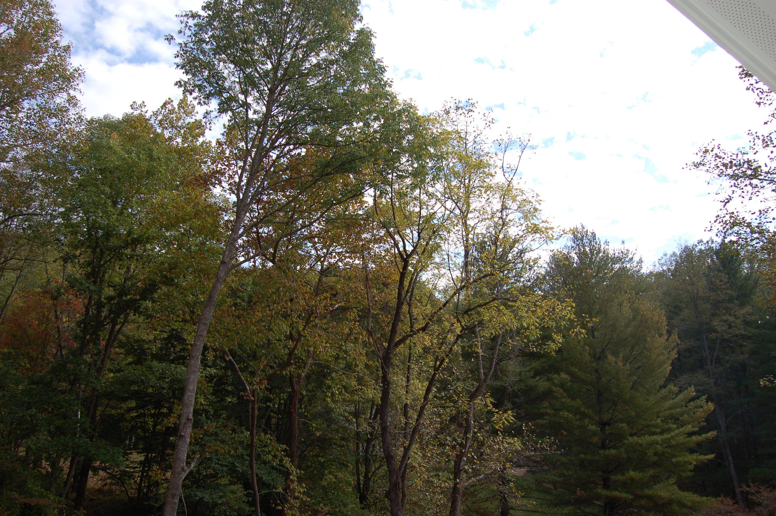
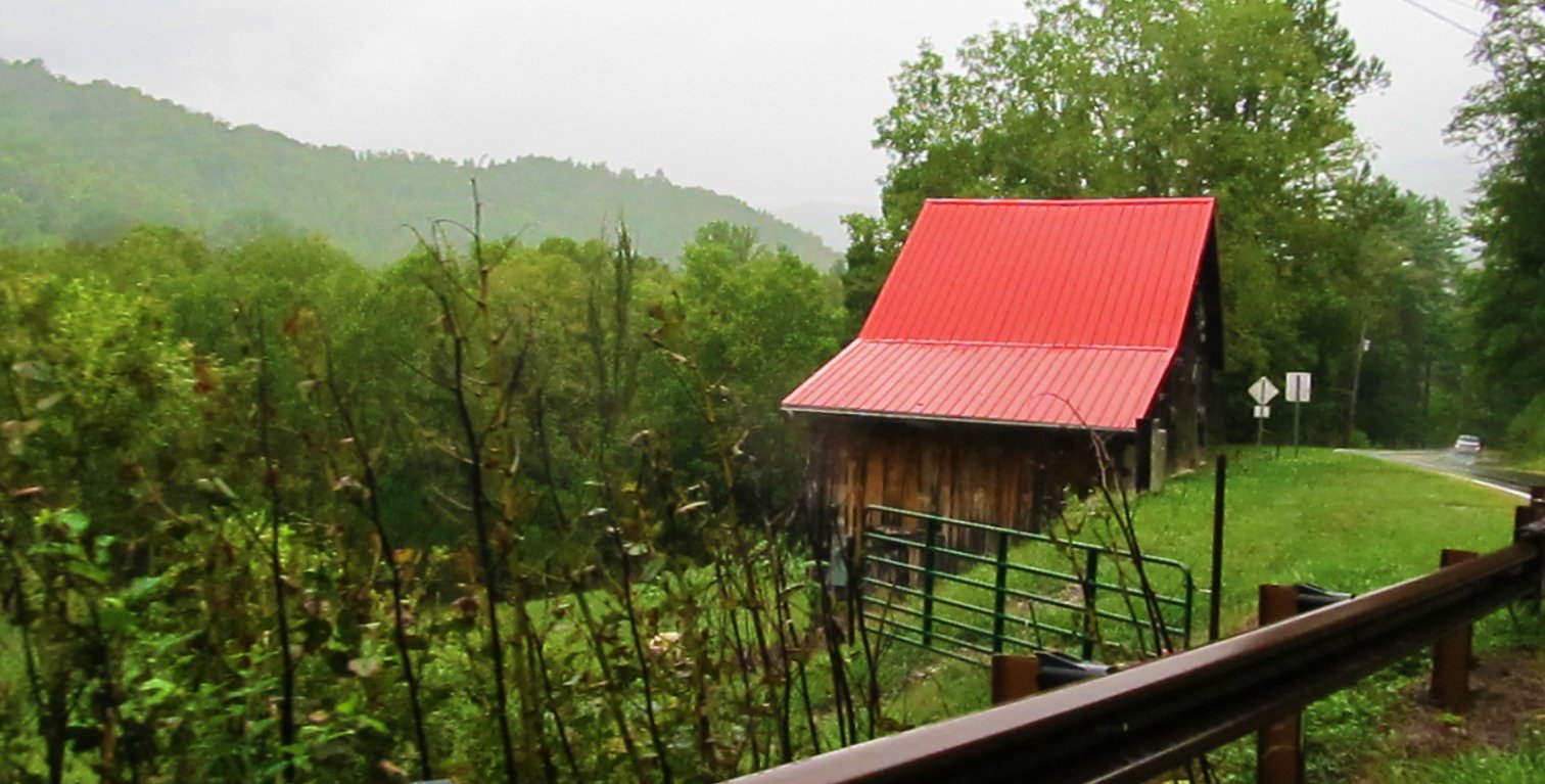
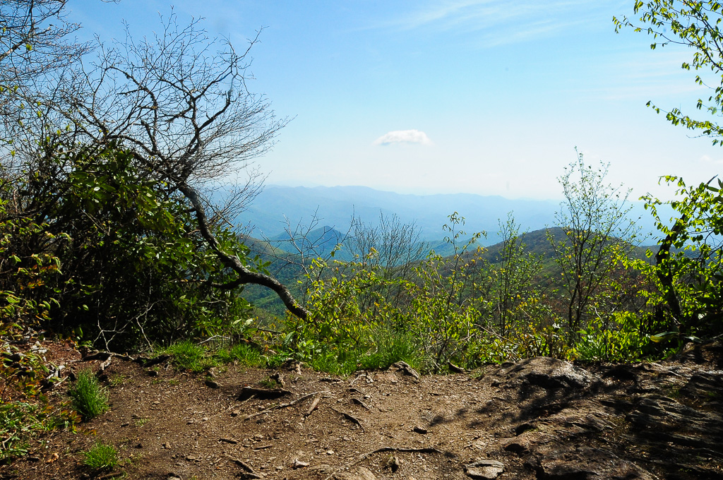
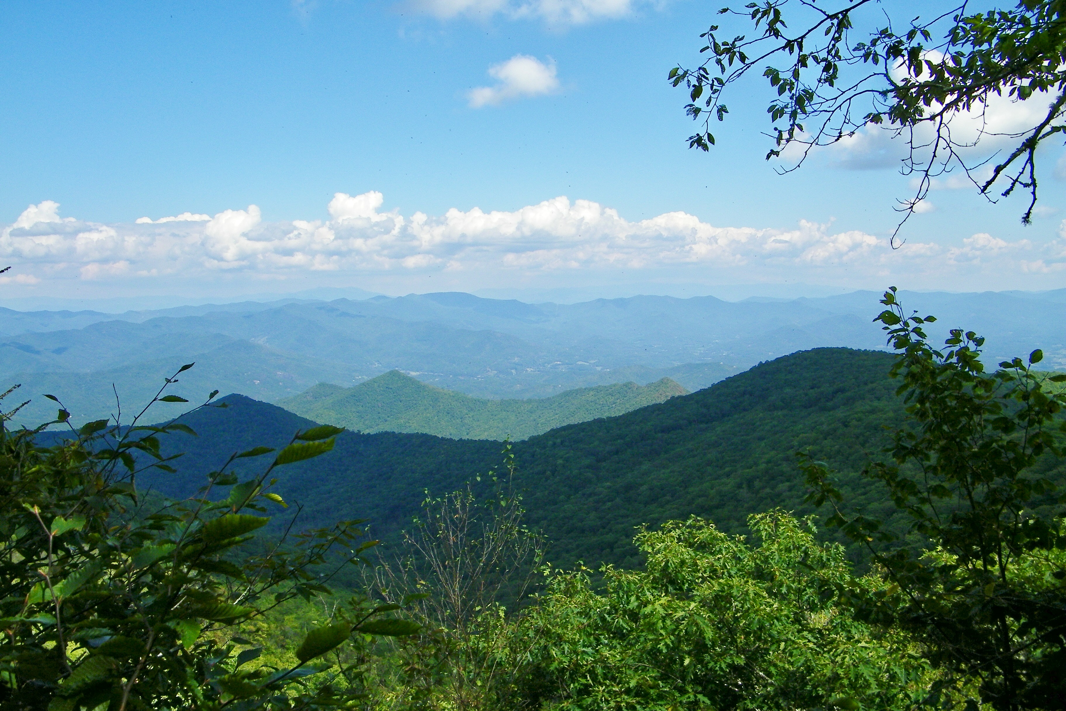
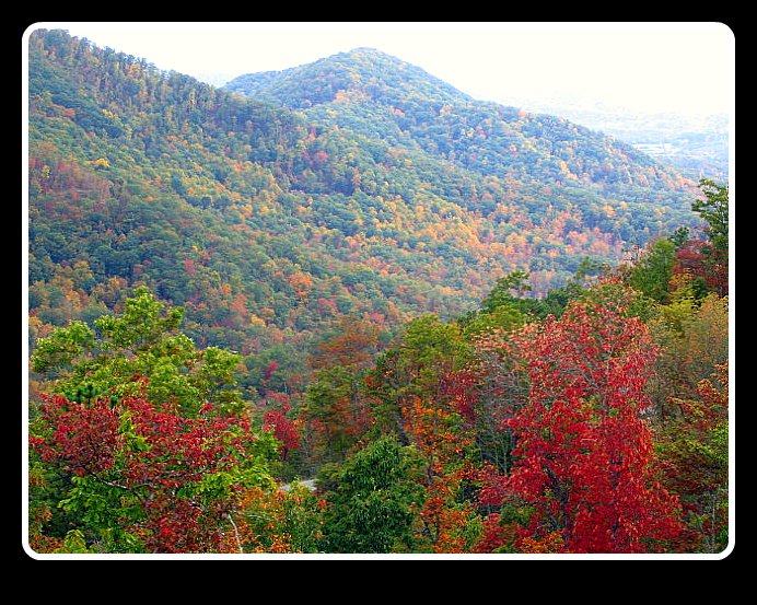
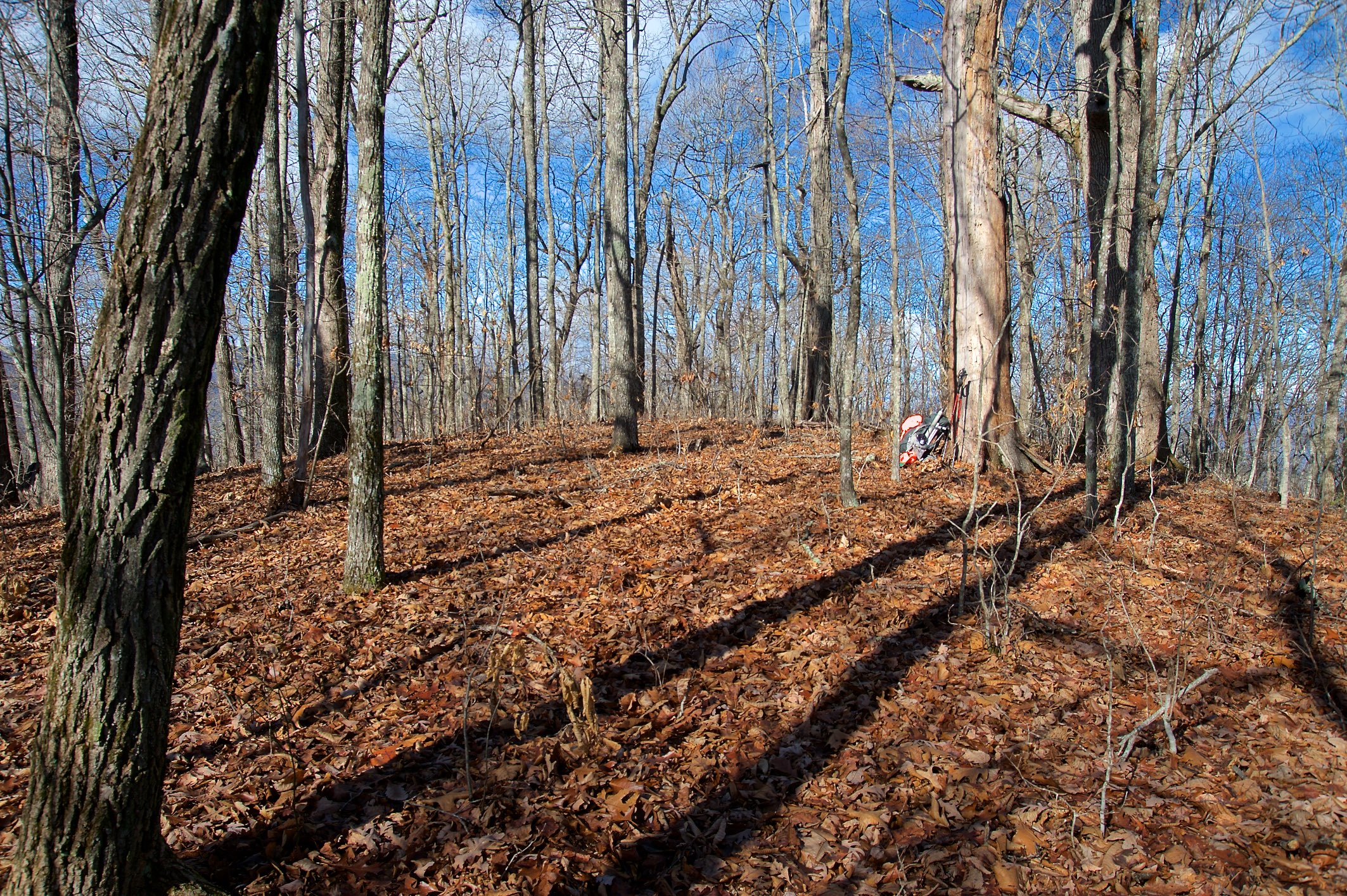
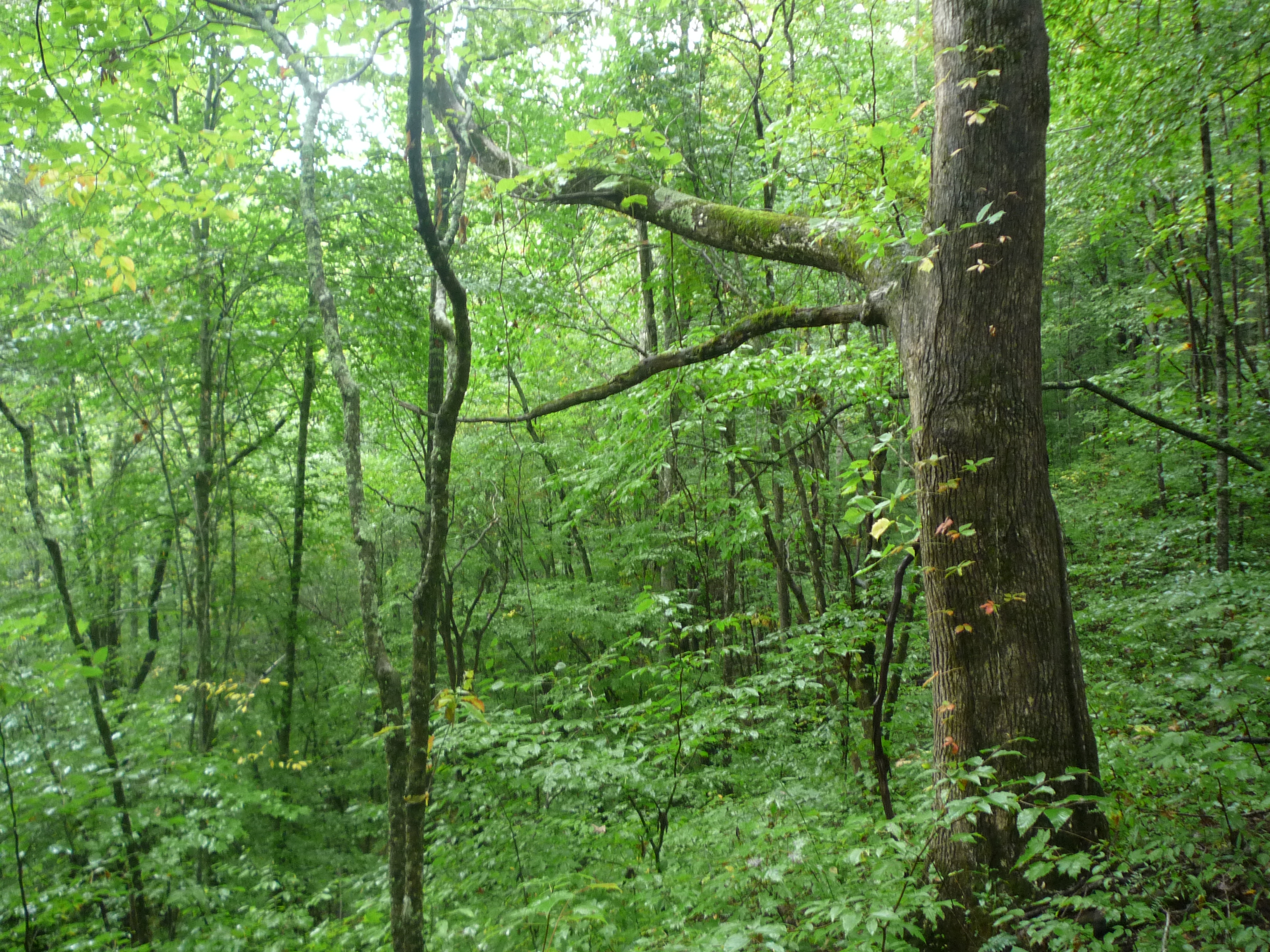
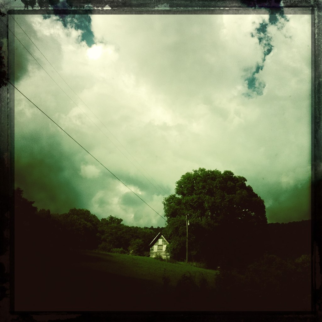
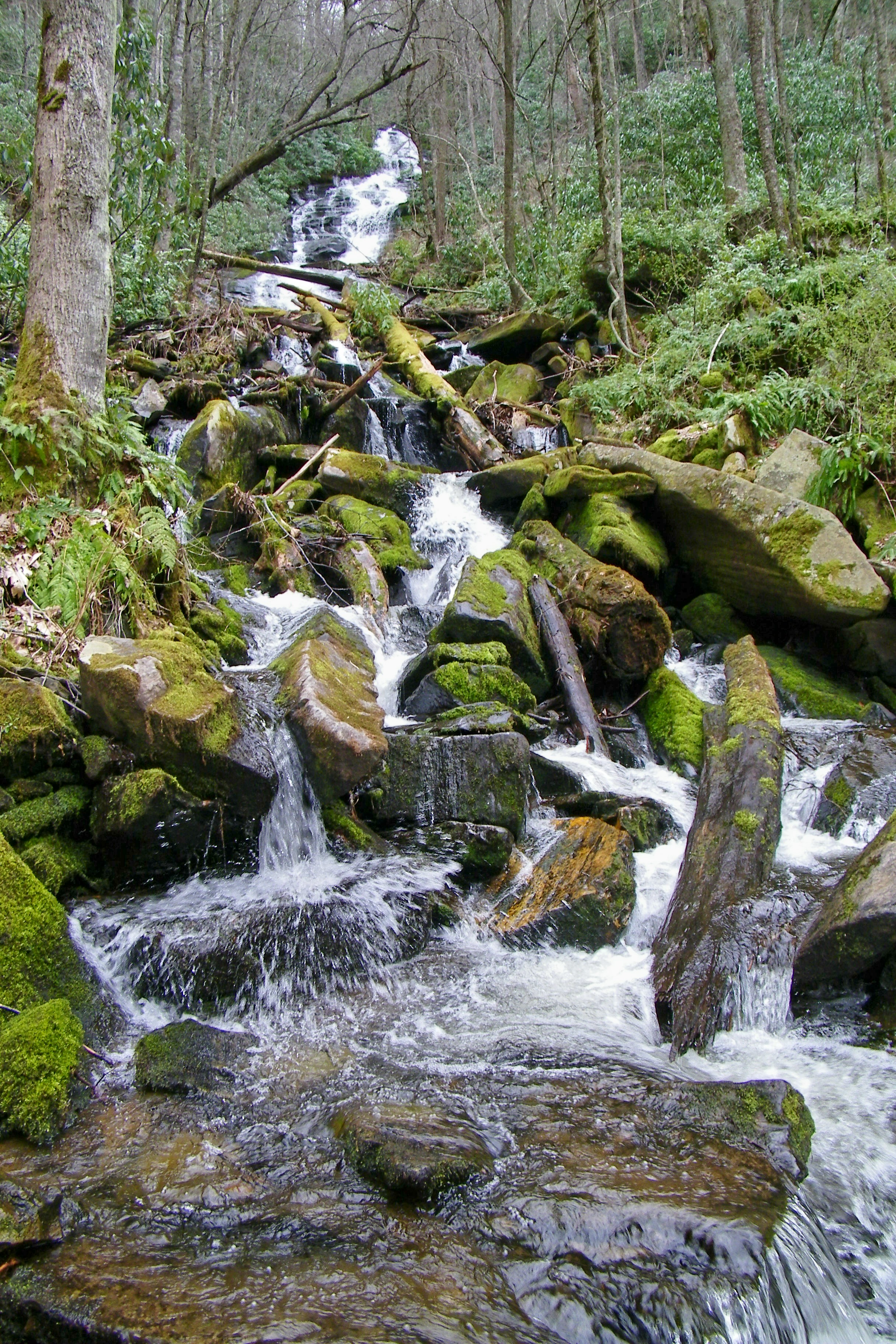
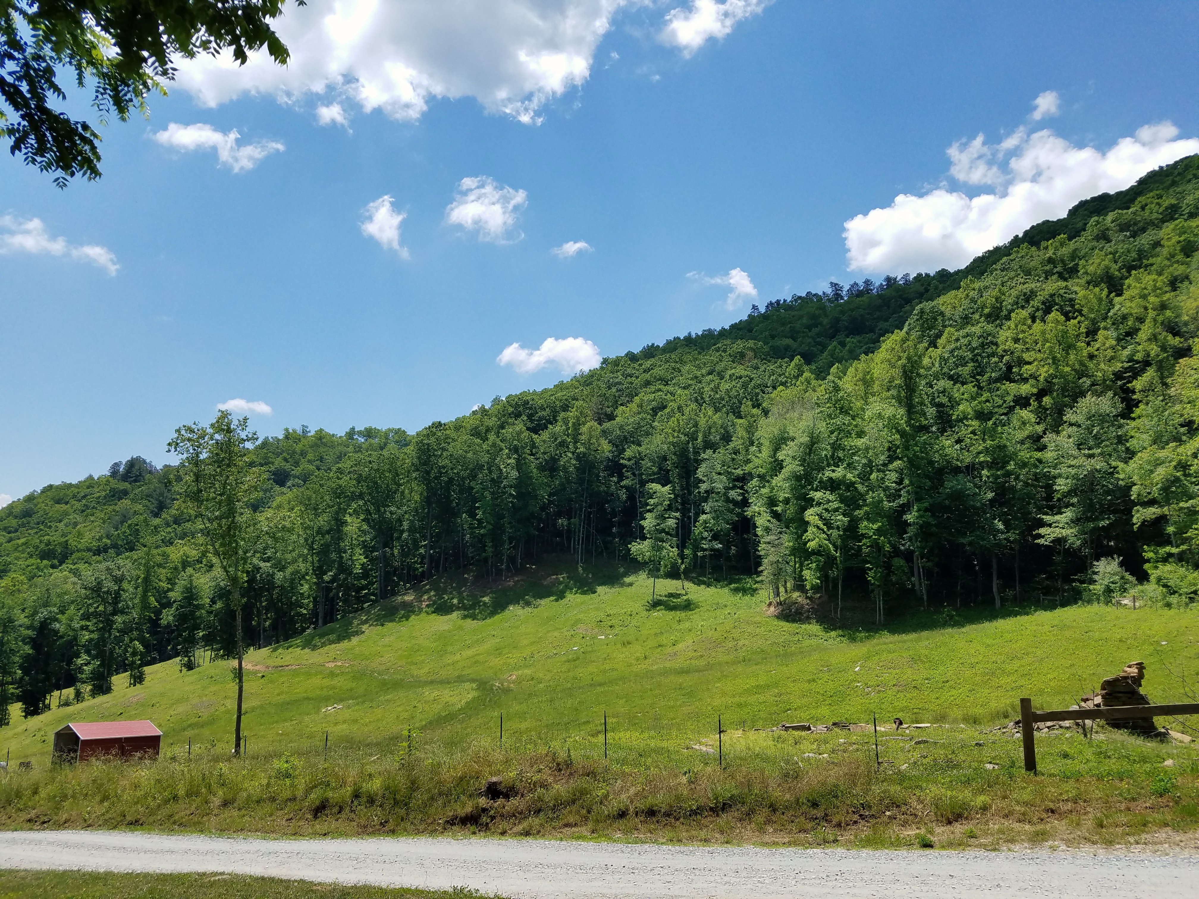
Related Photos:

Fringed Phacelia

Cullasaja Falls - Highlands, North Carolina.

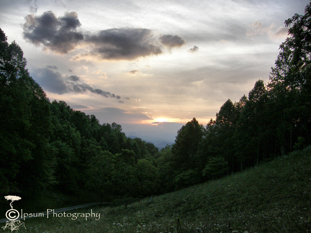
View in the evening!
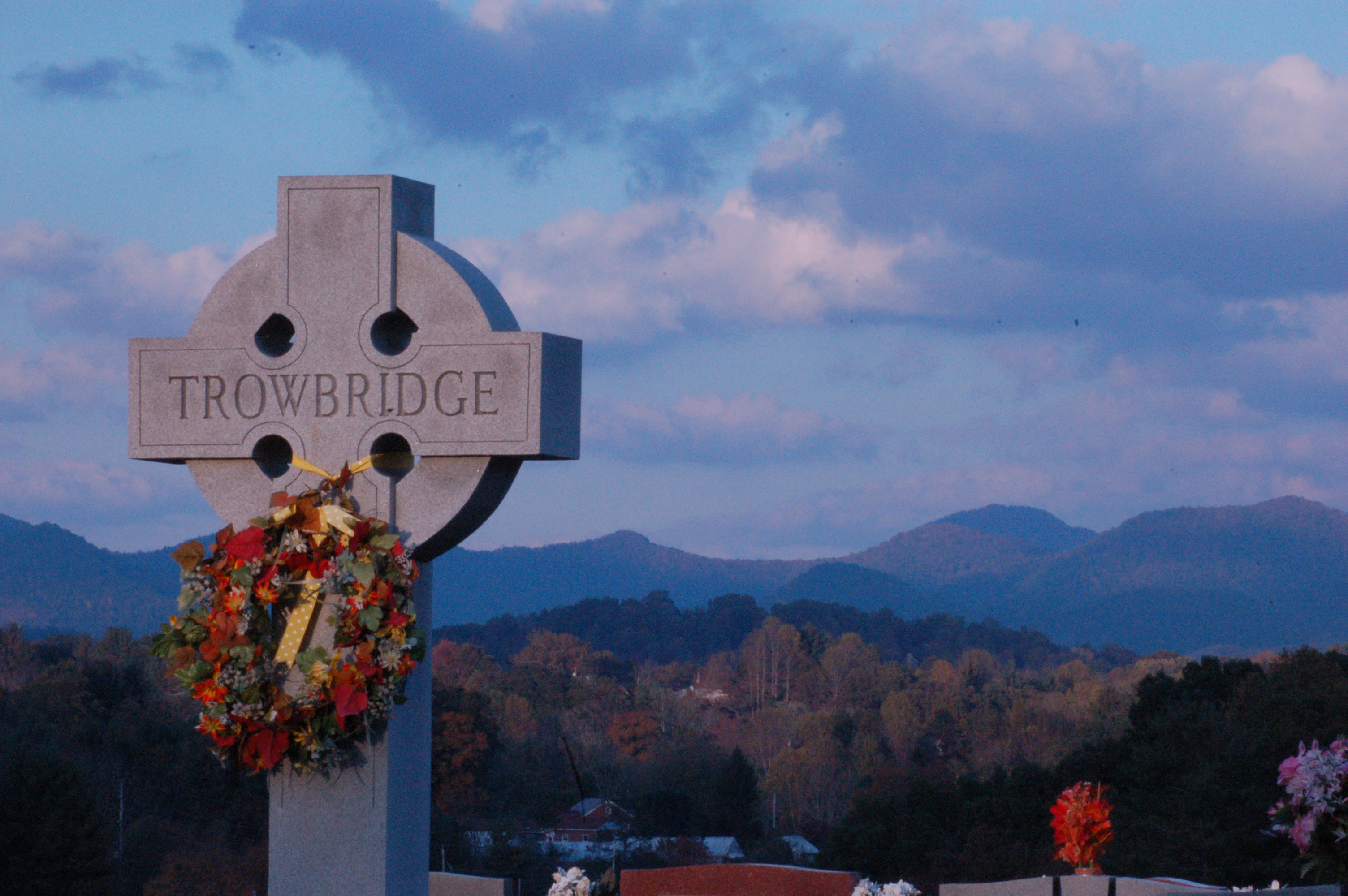
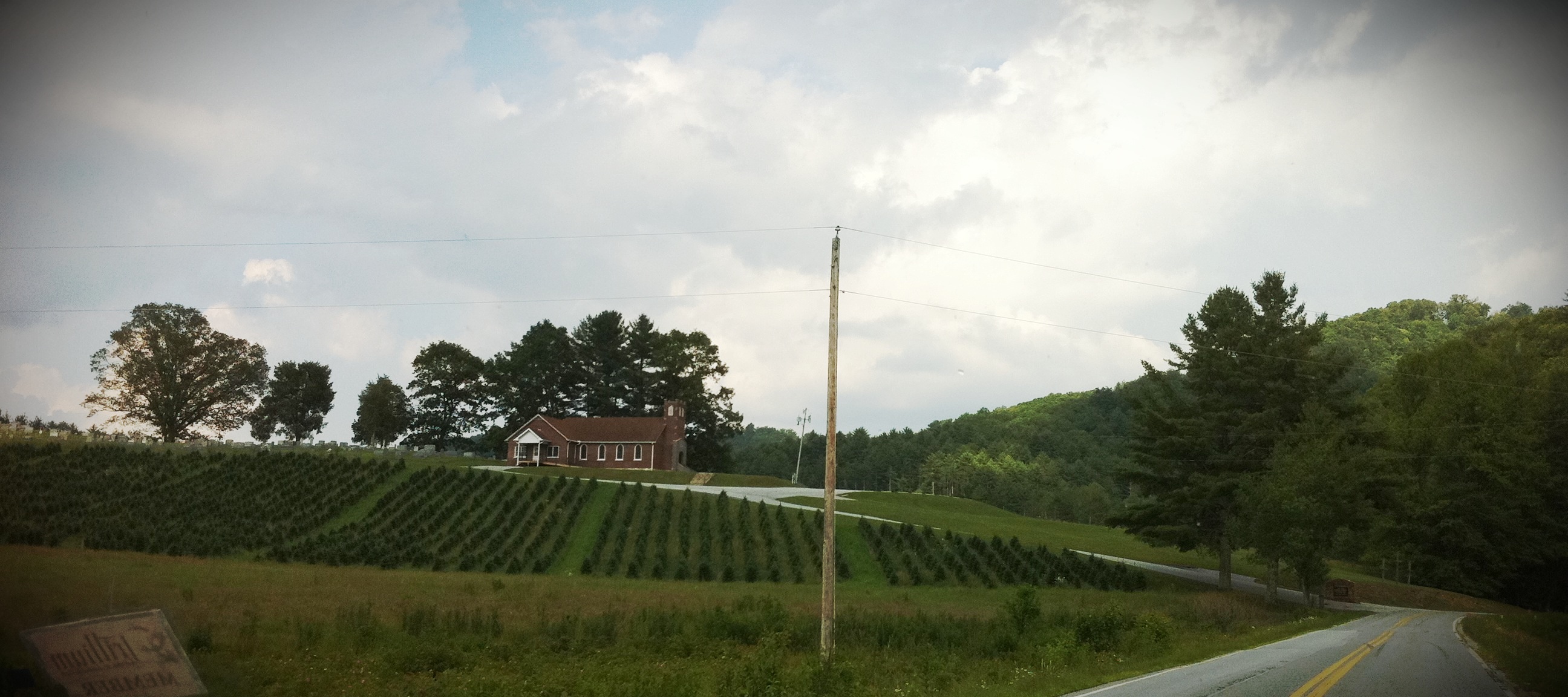
Cemetary View
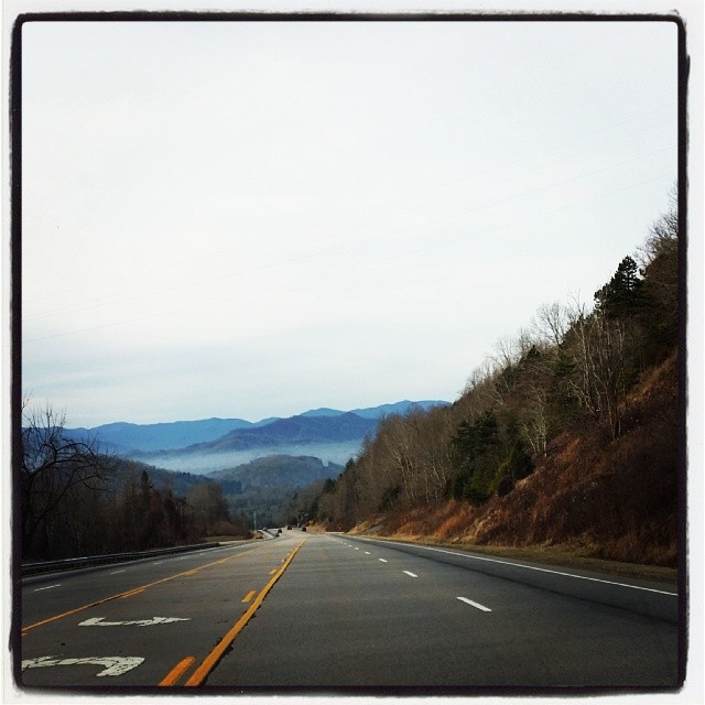
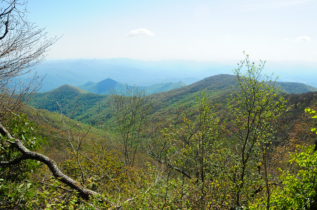
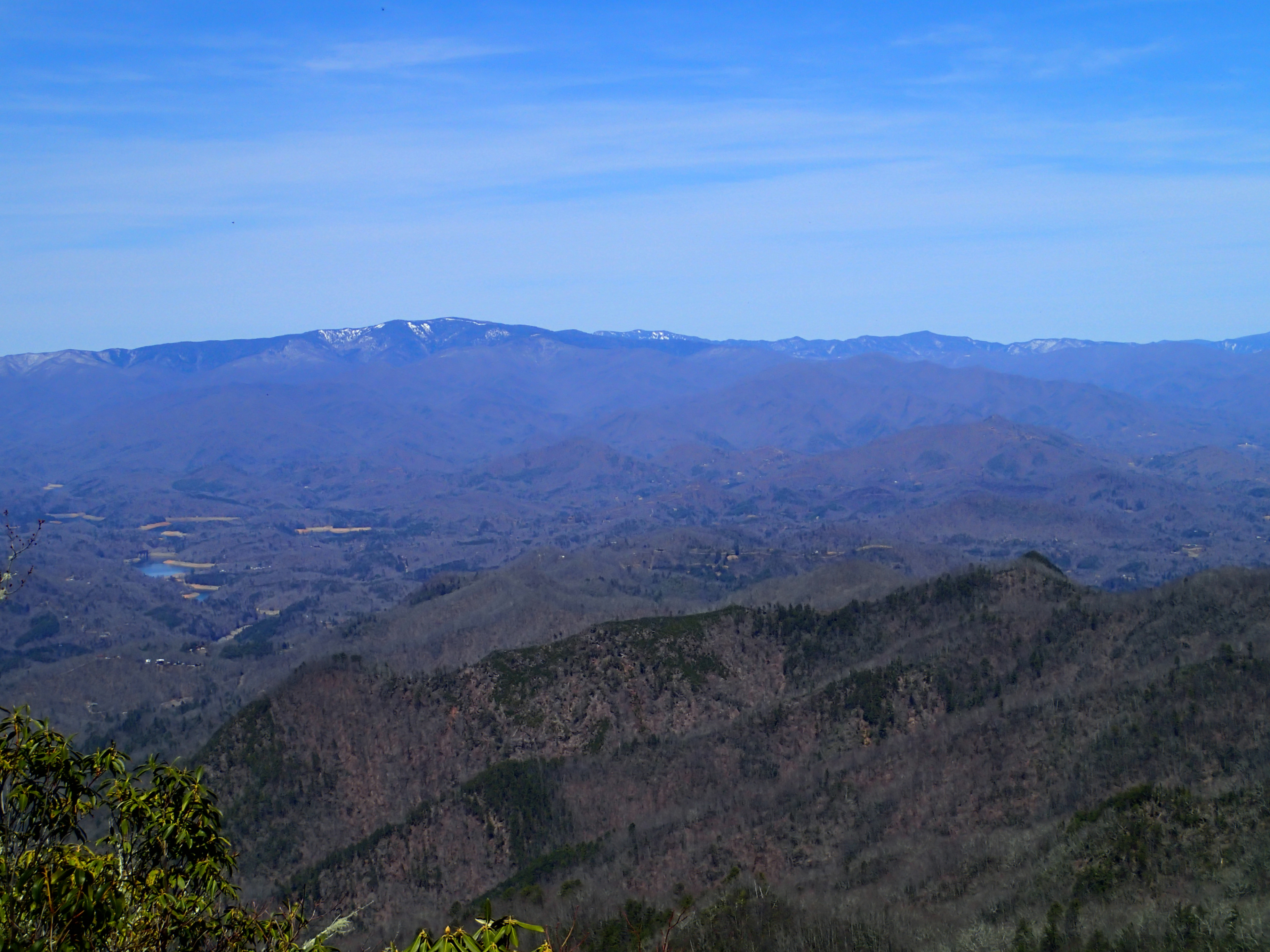
Driving thru the Smokey Mountains, what a view!

Fire Pink

Cowee Bald Fire Tower - North Carolina
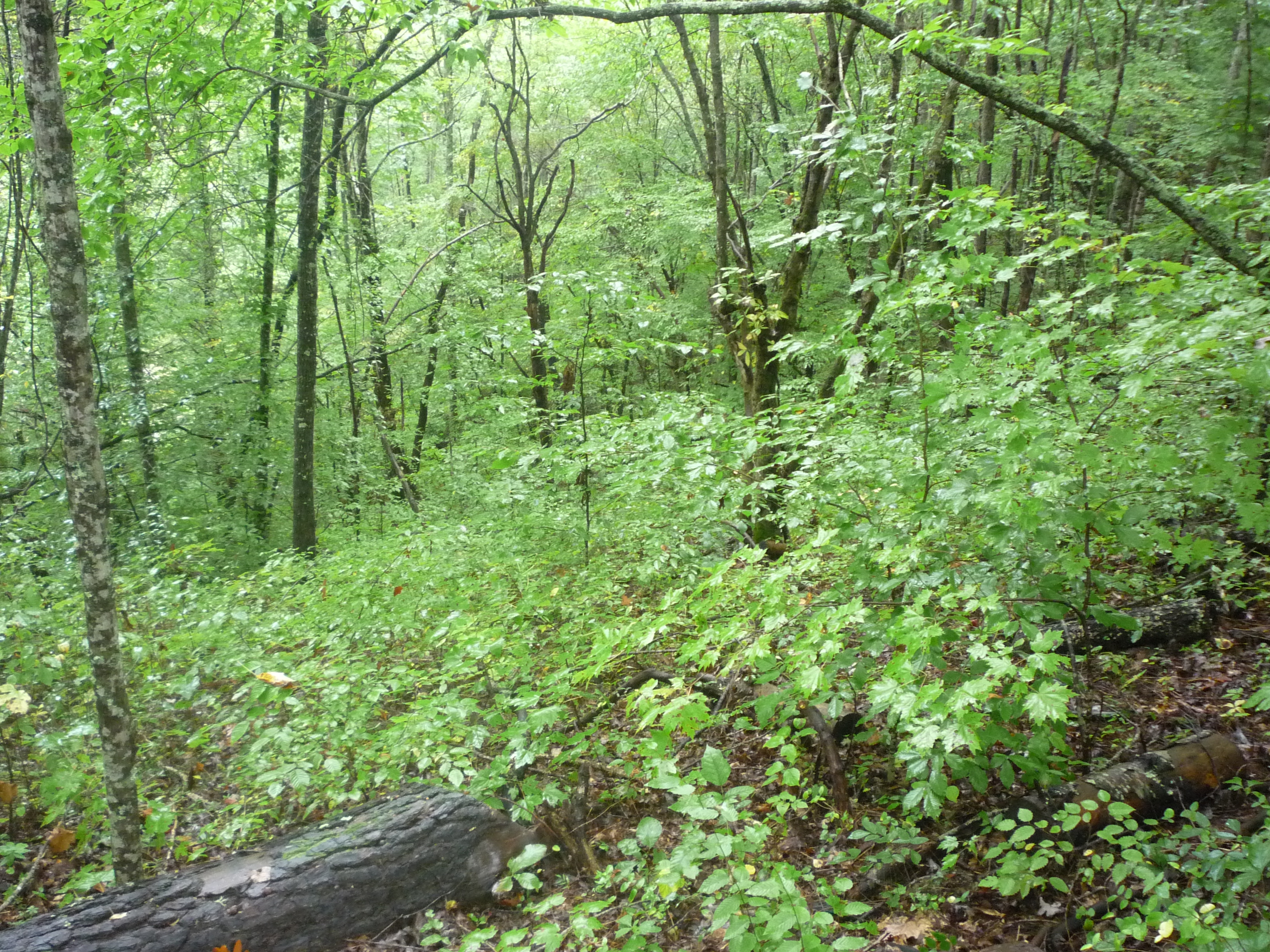
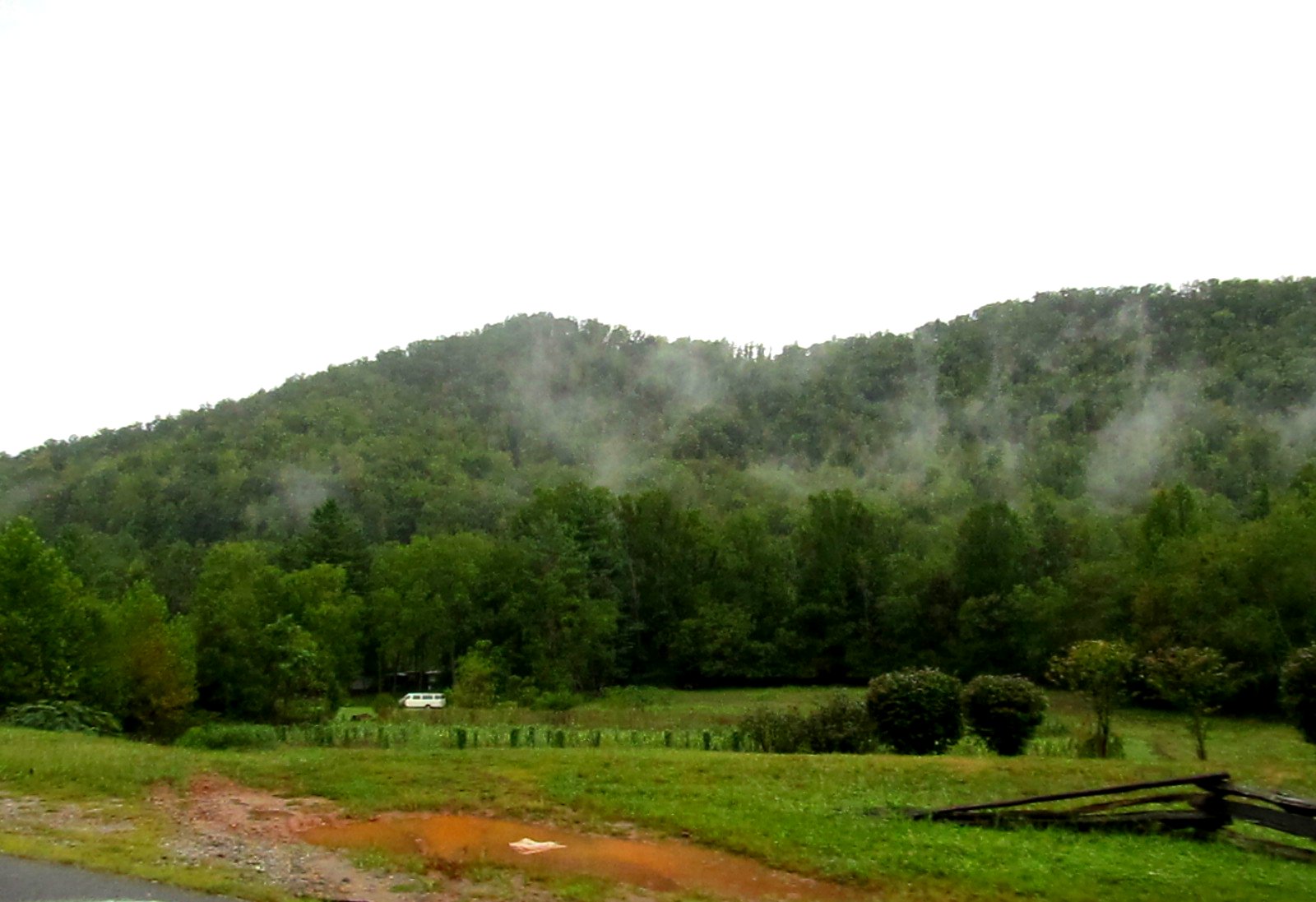
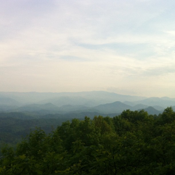
view from the road
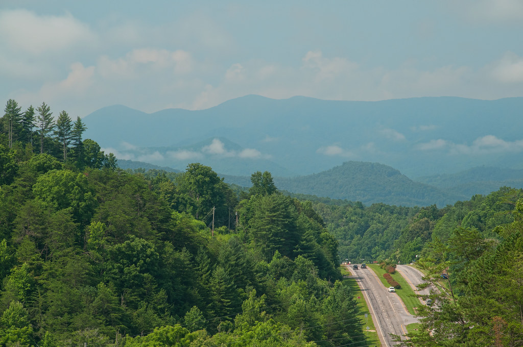
Mountain Waters Scenic Byway, Between Franklin and Highlands, North Carolina
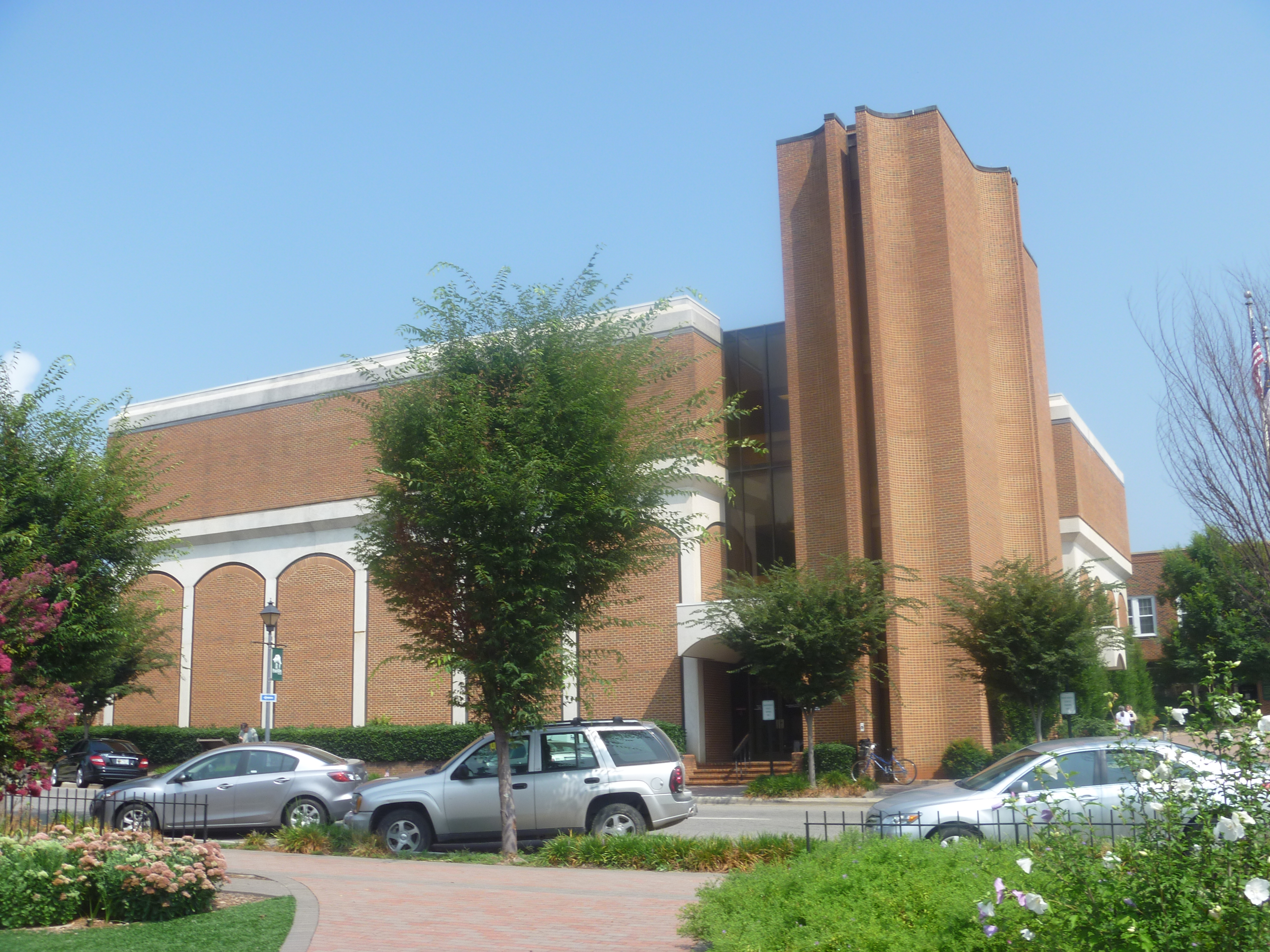
Side View Of Macon County Courthouse
Trail View Heading to W4C/WM-023 - Copper Ridge Bald
Cowee Valley by Susan
Mountain Waters Scenic Byway, Between Franklin and Highlands, North Carolina
Front Porch View 1
Mountain Waters Scenic Byway, Between Franklin and Highlands, North Carolina
Trail View Heading to W4C/WM-023 - Copper Ridge Bald
Cooper Ridge Bald Lookout
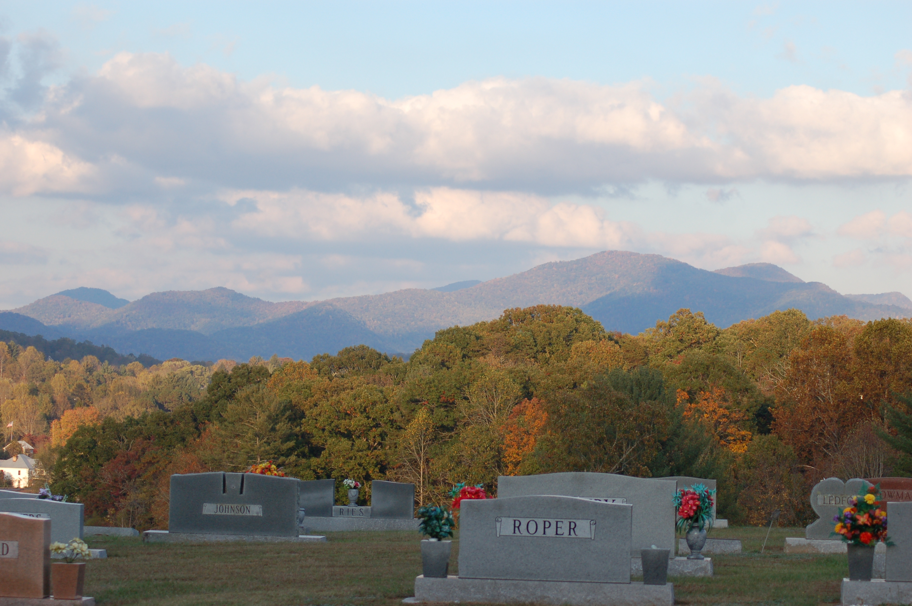
Cemetary Ridge
Good morning, #brysoncity #northcarolina! View from the cabin balcony #nofilter #ttot

Front Porch View 3
Front Porch View 2

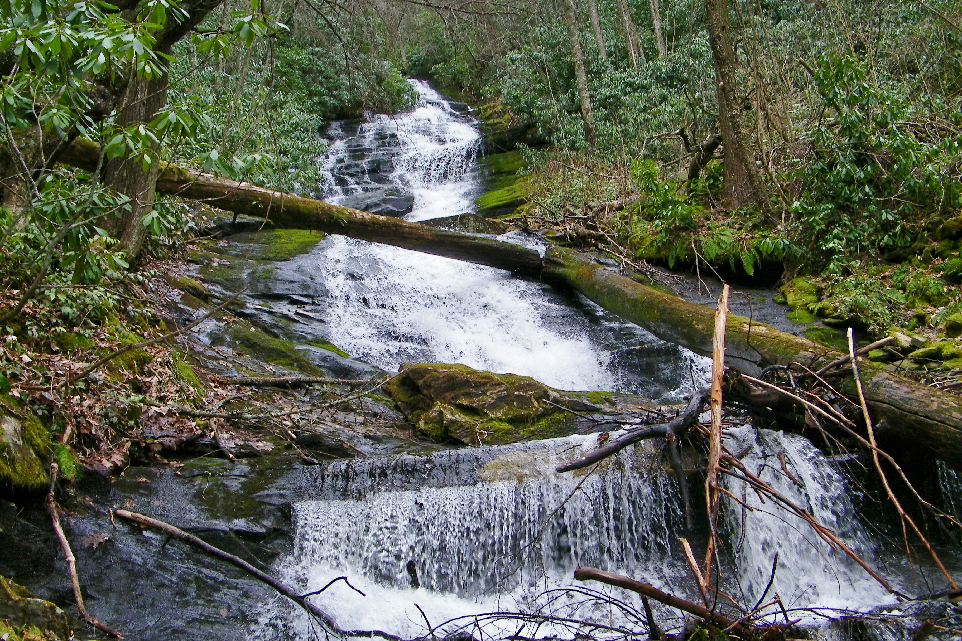
Big Laurel Falls #franklin #standingindian #appalachia #blueridgecountry #welovenc #we_see_wnc #wilderness_culture #biglaurelfalls #diamondbrand_outdoors #cmc100challenge #stream #falls #explore #westernnorthcarolina #landofwaterfalls
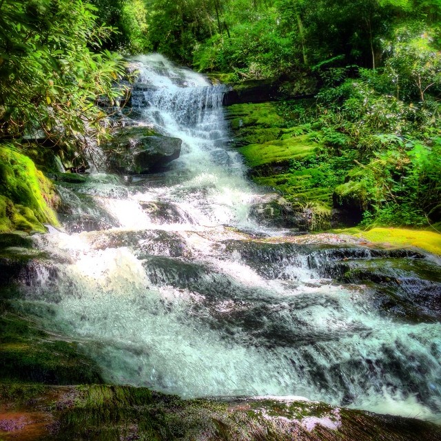
Alarka Falls #alarkafalls #brysoncity #wnc #ncwaterfalls #waterfallpics #waterfallhiking #waterfallphotography #iphotography #igersoftheday #828isgreat #blueridgecountry
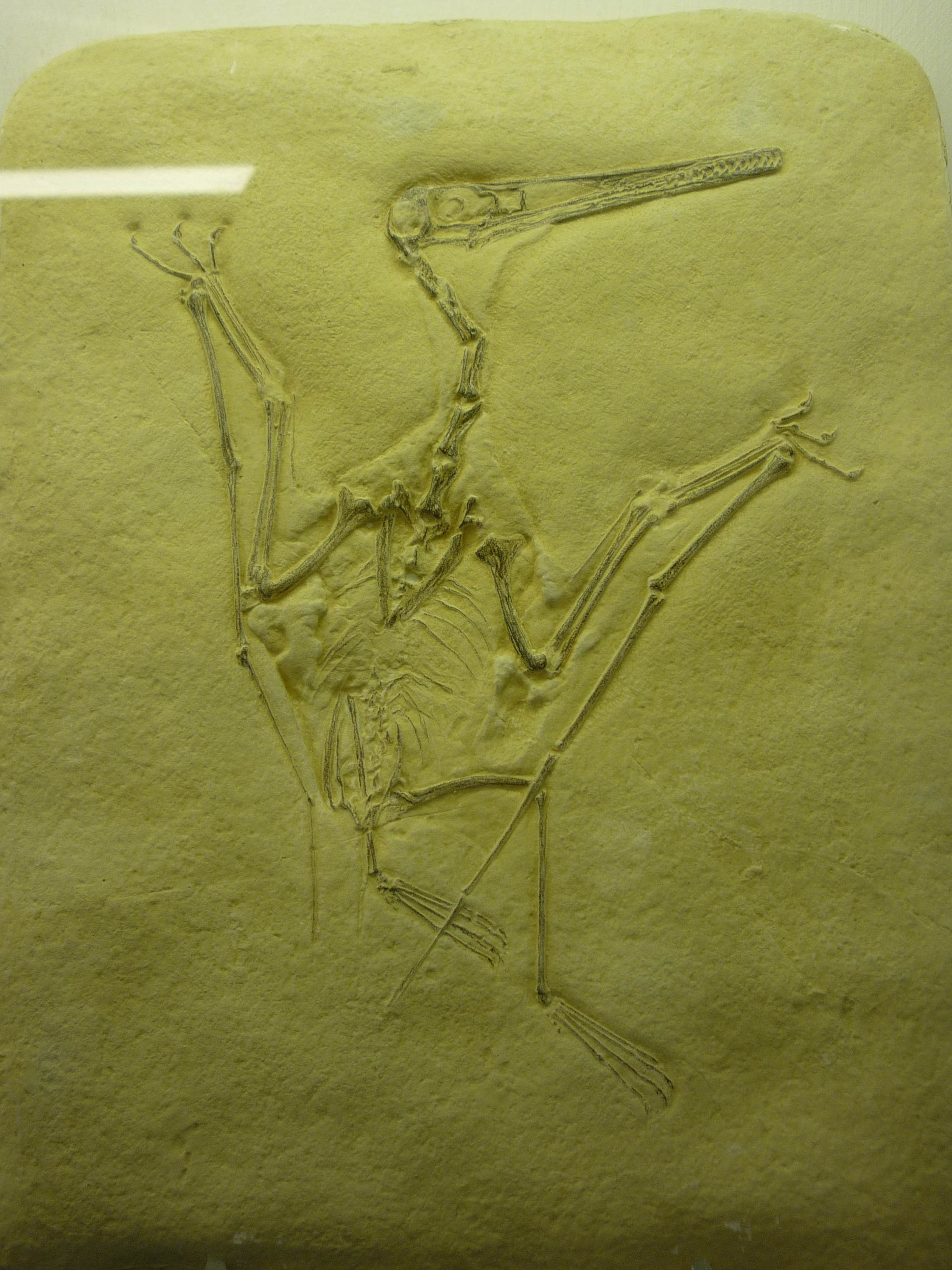
bird-like fossil
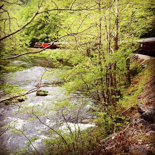
Train tour of the Great Smoky Mts
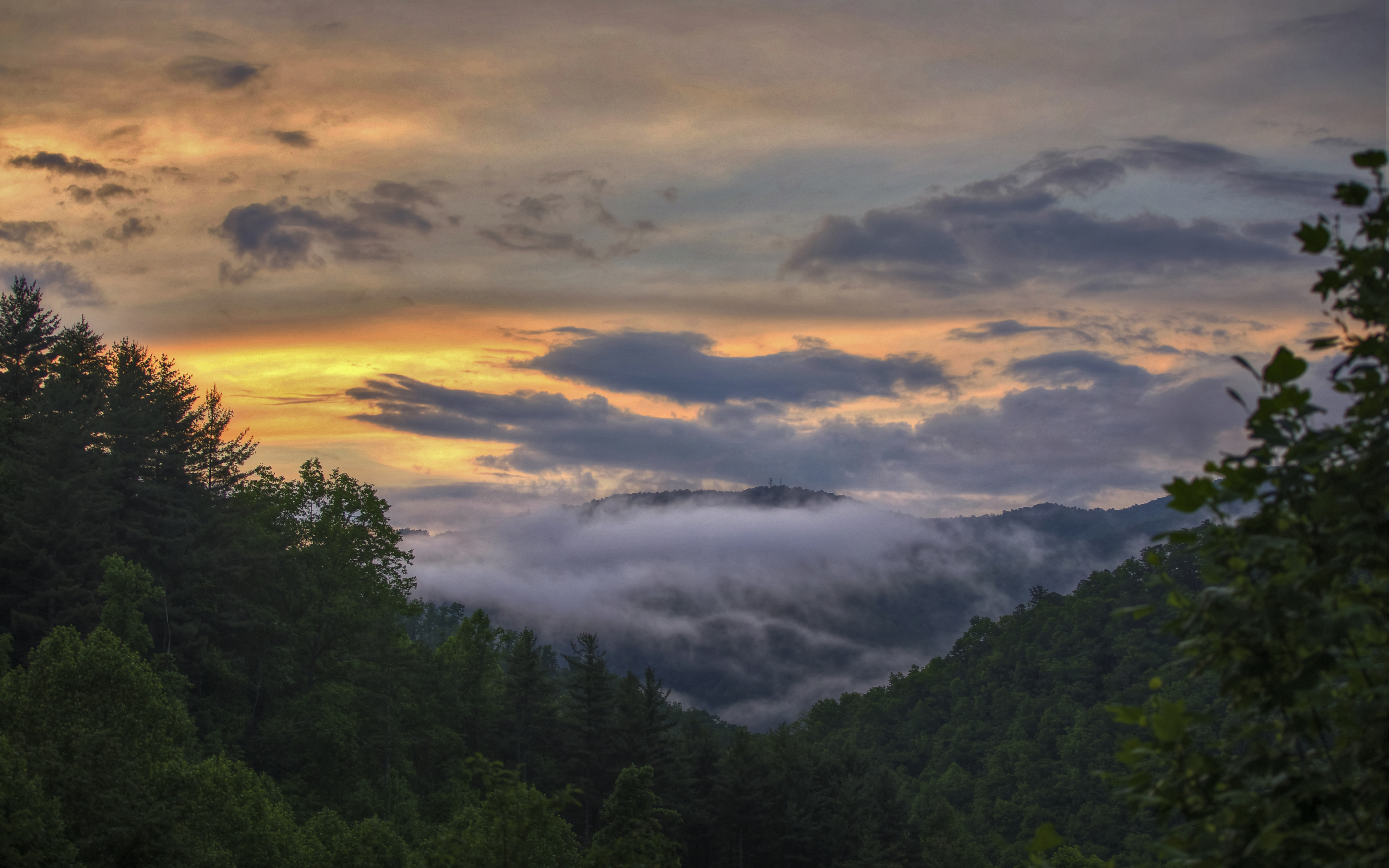
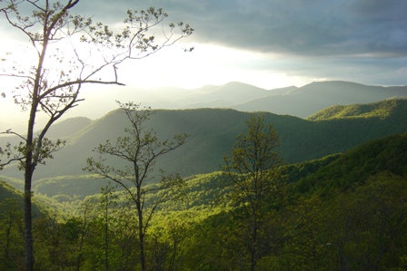
Smoky Mountains
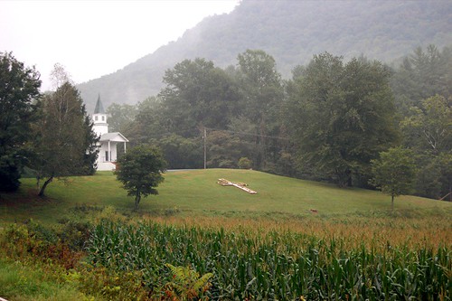
church.JPG
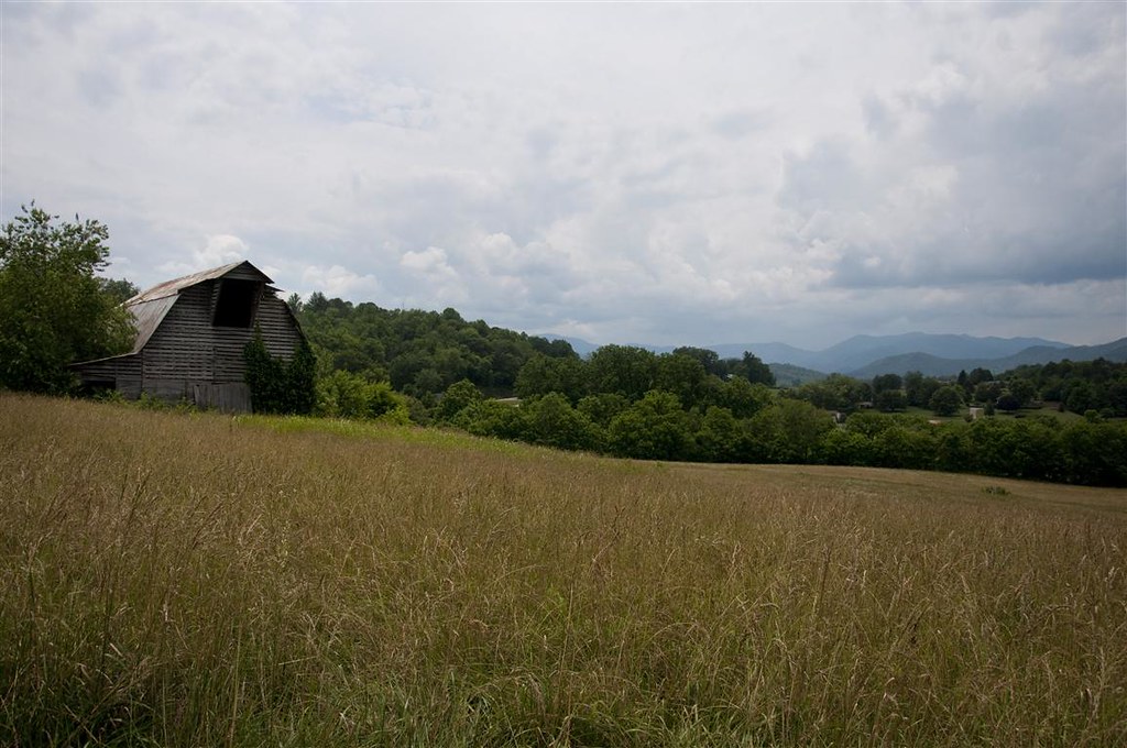
Fields of Gold | Franklin, NC
Wild Flower & Spec 046
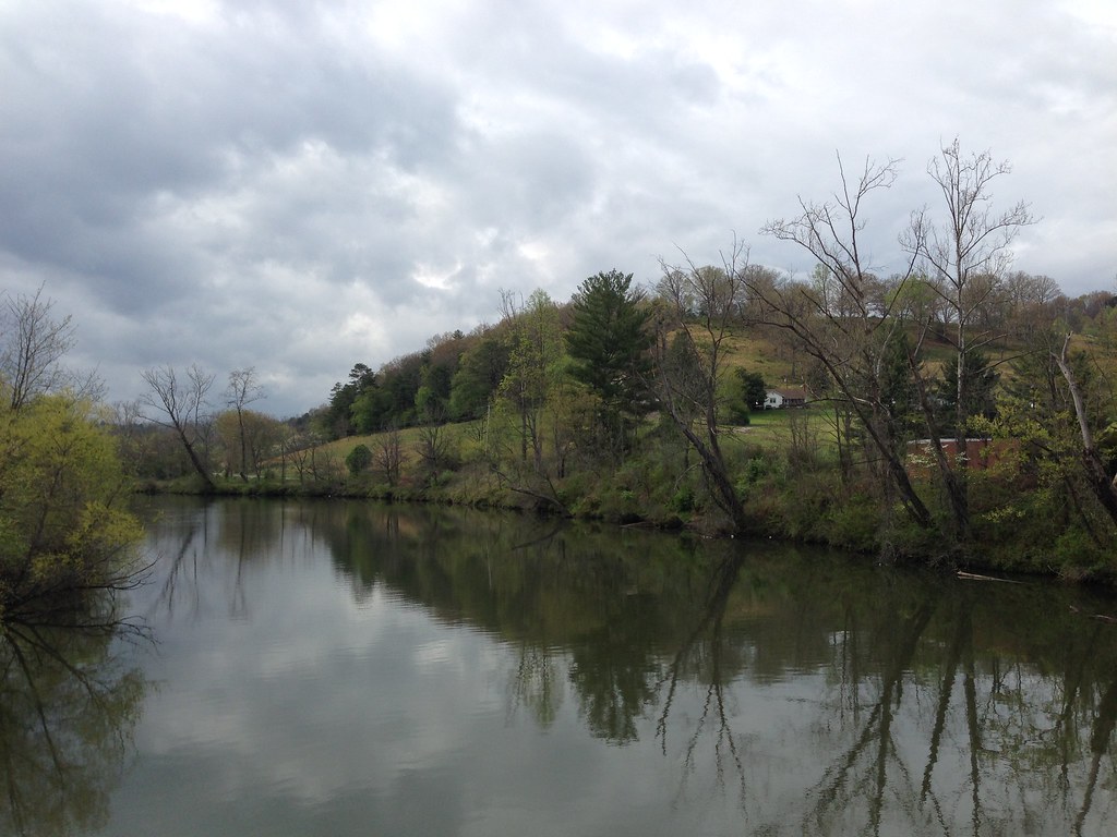
Little Tennessee River
Summit of W4C/WM-102 - Wilkes Knob
"The woods are lovely, dark and deep..."
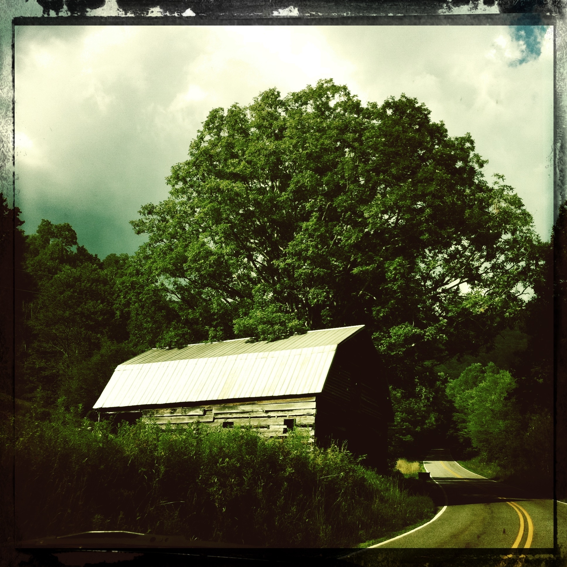
Mountain Roads #4
Alarka Falls
2016-06-01_10-03-41
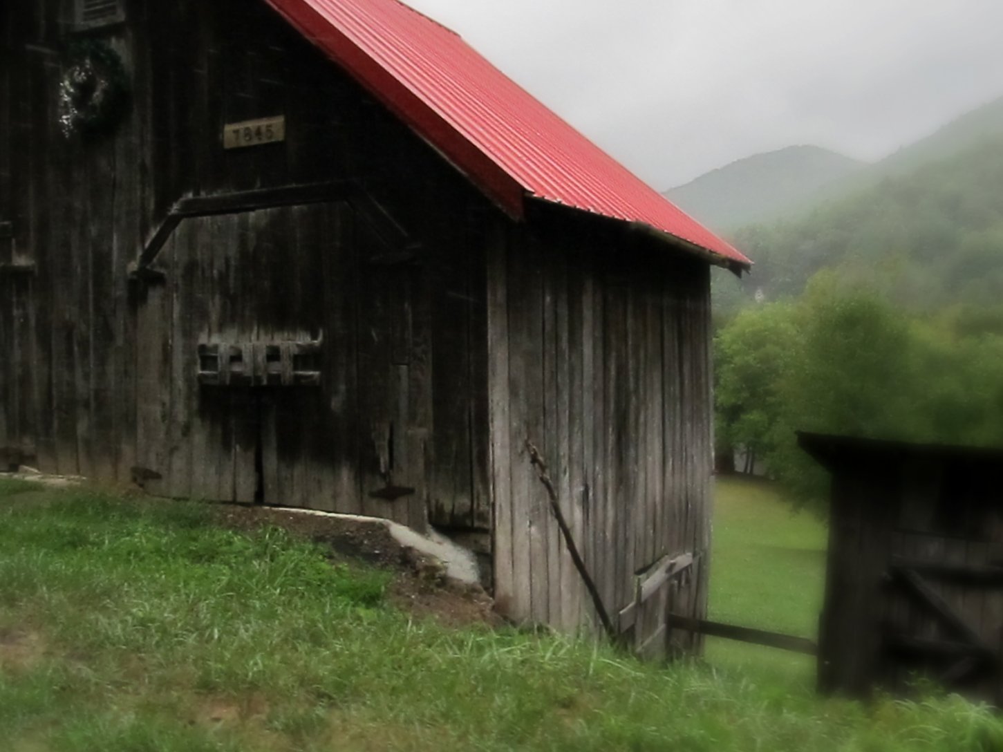
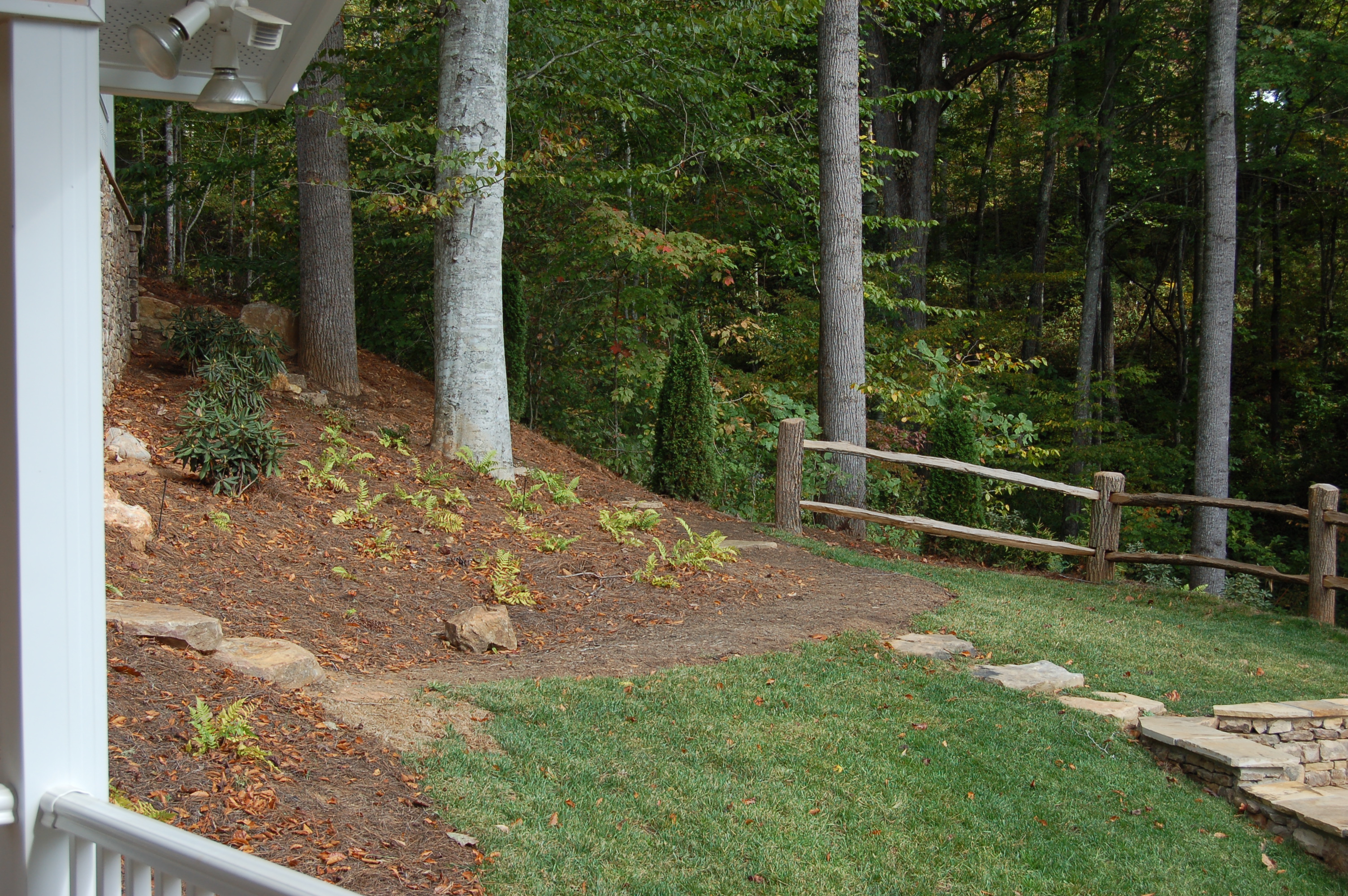
What a Front Yard
Mountain Roads #5: Christmas Tree Farm
Alarka Falls
P3318712.JPG
Franklin, North Carolina
Walnut Creek Road
Topographic Map of Red Fox Ln, Franklin, NC, USA
Find elevation by address:

Places near Red Fox Ln, Franklin, NC, USA:
130 Kangas Dr
4615 Bryson City Rd
2394 Sanderstown Rd
207 Fenno Hill
154 Fenno Hill
237 Clear Sky Dr
280 Sanderstown Ridge Rd
349 Butterfly Blvd
94 Quail Hollow Ln
140 Terrace Ridge Dr
226 Falcon Dr
89 Katydid Ln
165 Tall Timber Dr
1600 Riverbend Rd
14 Lyle Knob Rd
14 State Rd 1334
130 5 Points Dr
71 Holly Mountain Dr
Riverbend Road
530 Zurich Cir
Recent Searches:
- Elevation of Côte-des-Neiges, Montreal, QC H4A 3J6, Canada
- Elevation of Bobcat Dr, Helena, MT, USA
- Elevation of Zu den Ihlowbergen, Althüttendorf, Germany
- Elevation of Badaber, Peshawar, Khyber Pakhtunkhwa, Pakistan
- Elevation of SE Heron Loop, Lincoln City, OR, USA
- Elevation of Slanický ostrov, 01 Námestovo, Slovakia
- Elevation of Spaceport America, Co Rd A, Truth or Consequences, NM, USA
- Elevation of Warwick, RI, USA
- Elevation of Fern Rd, Whitmore, CA, USA
- Elevation of 62 Abbey St, Marshfield, MA, USA