Elevation of Clear Sky Dr, Franklin, NC, USA
Location: United States > North Carolina > Macon County > Franklin > Franklin >
Longitude: -83.399072
Latitude: 35.2275559
Elevation: 626m / 2054feet
Barometric Pressure: 94KPa
Elevation Map:
Satellite Map:
Related Photos:

Summer Mountain View

Observation Tower View

Tower Mountain View

Cloudy Mountain View
Wayah Bald View

Wayah Bald Mountain View
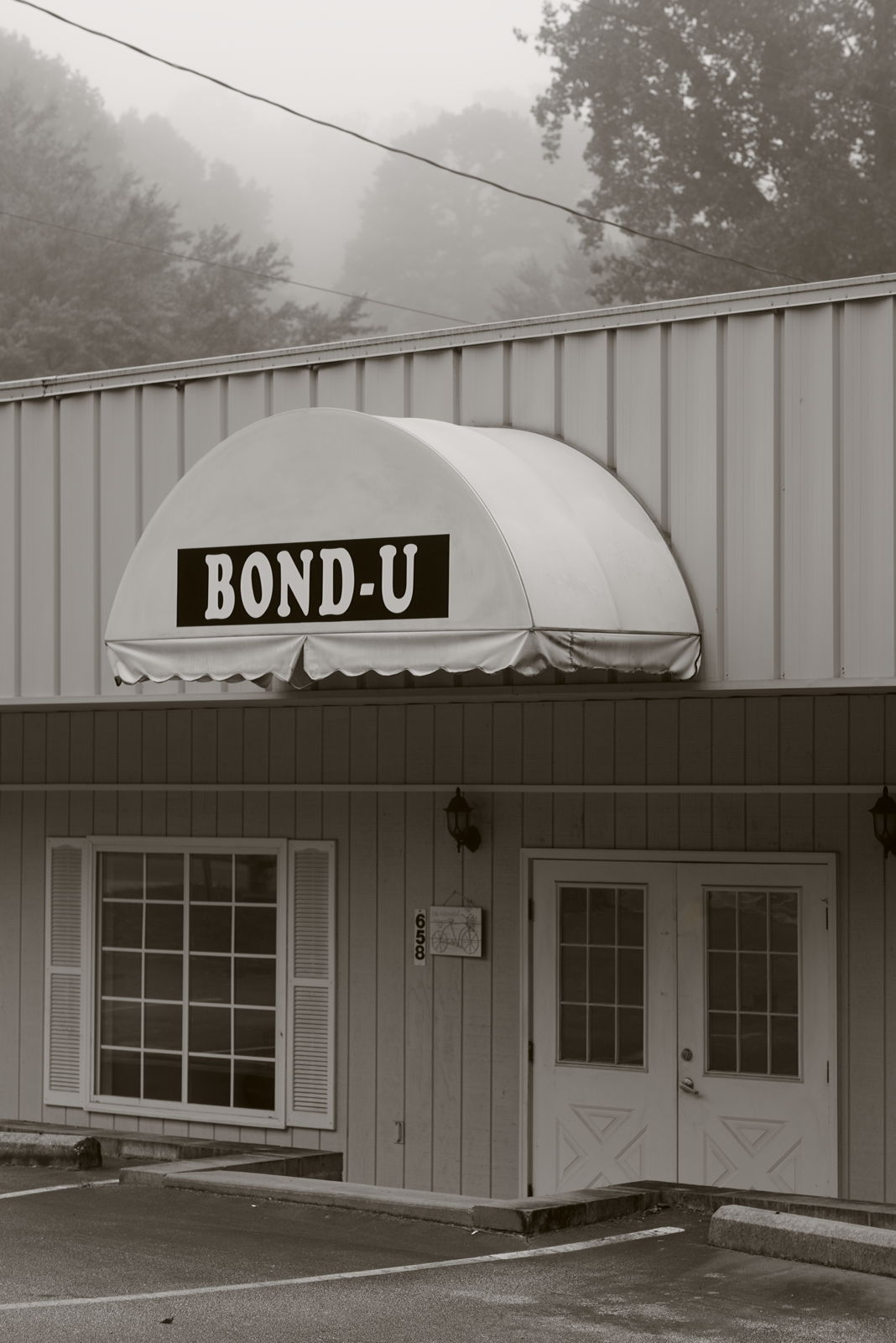
For when U need it

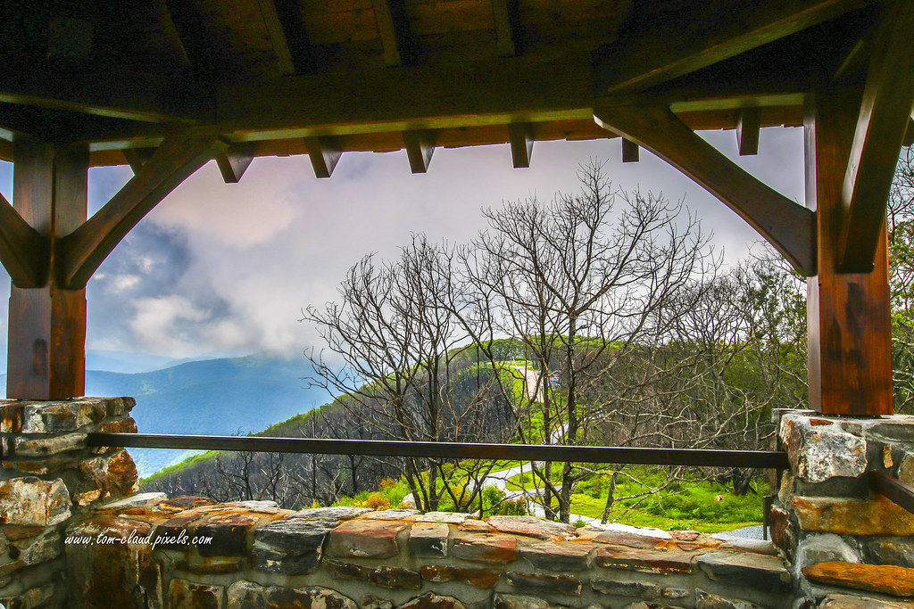
Peaceful View

Cullasaja Falls - Highlands, North Carolina.

Wayah Bald Fire Tower - Franklin, North Carolina (HDR)

Fringed Phacelia

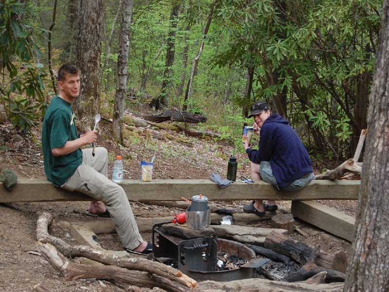
The new Wayah shelter

Cowee Bald Fire Tower - North Carolina

prison break!

Mountain Sun
Mountain Waters Scenic Byway, Between Franklin and Highlands, North Carolina

Mountain Waters Scenic Byway, Between Franklin and Highlands, North Carolina
Mountain Waters Scenic Byway, Between Franklin and Highlands, North Carolina

The Cowee Mountains.
I must have said something funny

Mountain Sky

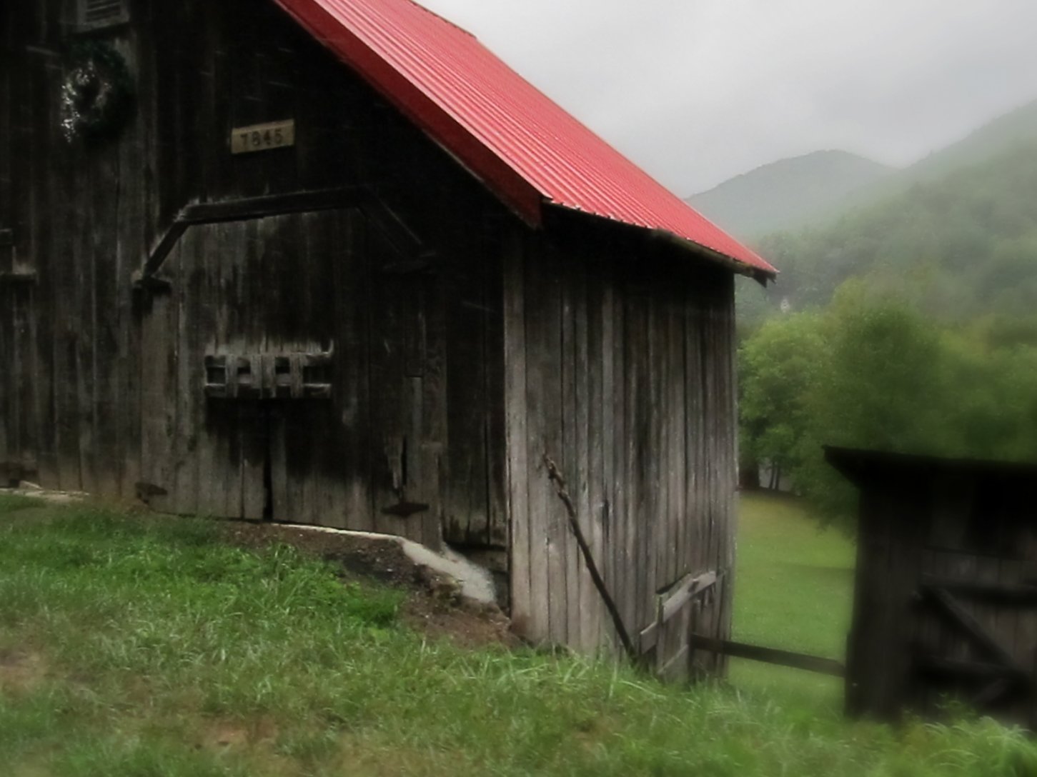
Town and country

Rufus Morgan Trailhead-8430

Wayah Bald Tower

Between the river and the fog
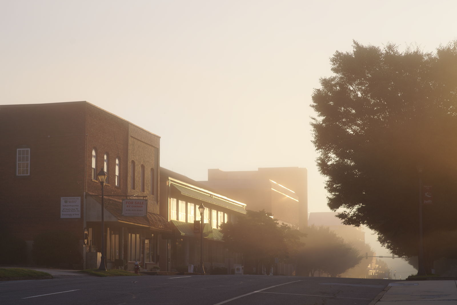
Morning on Main Street

Rufus Morgan Falls-8485

Rufus Morgan Trailhead-8489

Rufus Morgan Falls-8486

Rufus Morgan Trailhead-8453

Rufus Morgan Falls-8483

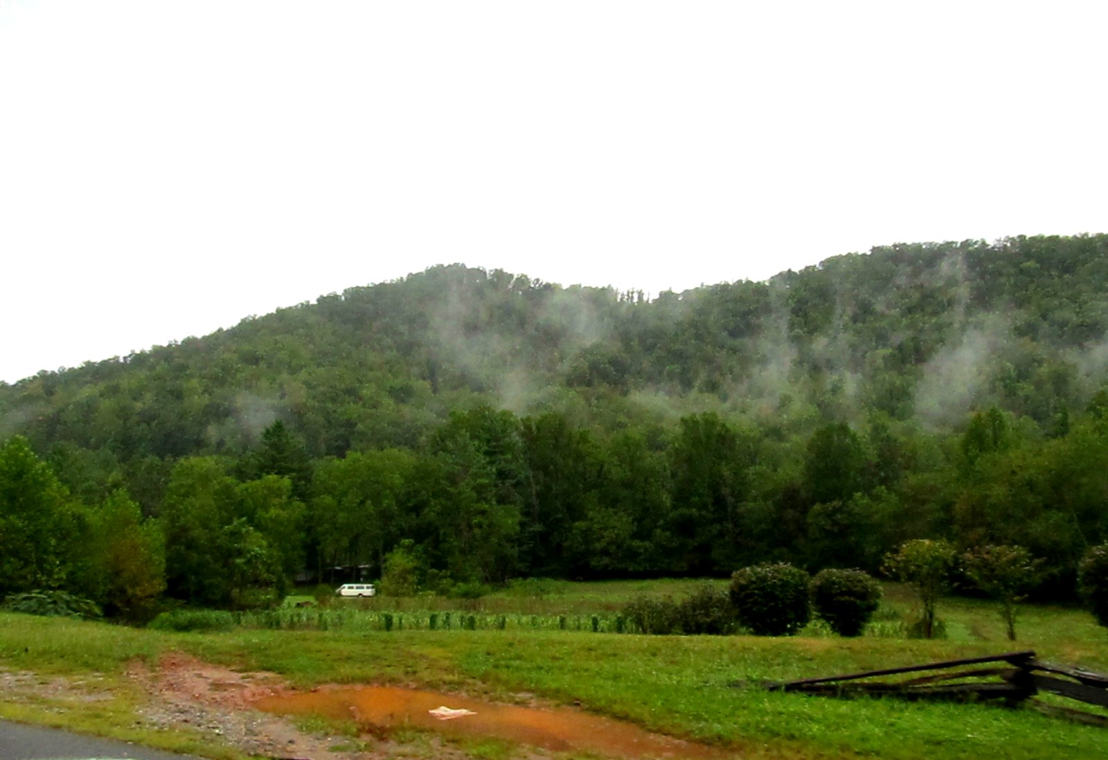
Smoky Mountains

Rufus Morgan Trailhead-8426

Rufus Morgan Trailhead-8493

Rufus Morgan Trailhead-8437

PrrysWtrGrdn_0817_edit.jpg
Topographic Map of Clear Sky Dr, Franklin, NC, USA
Find elevation by address:

Places near Clear Sky Dr, Franklin, NC, USA:
94 Quail Hollow Ln
127 Red Fox Ln
140 Terrace Ridge Dr
4615 Bryson City Rd
165 Tall Timber Dr
124 Breezy Oak Ln
130 Kangas Dr
89 Katydid Ln
484 Parsons Way
99 Parsons Way
99 Parsons Way
2394 Sanderstown Rd
Riverbend Road
71 Holly Mountain Dr
33 Nettie Hurst Rd
207 Fenno Hill
1600 Riverbend Rd
154 Fenno Hill
530 Zurich Cir
Swiss Colony
Recent Searches:
- Elevation of Elwyn Dr, Roanoke Rapids, NC, USA
- Elevation of Congressional Dr, Stevensville, MD, USA
- Elevation of Bellview Rd, McLean, VA, USA
- Elevation of Stage Island Rd, Chatham, MA, USA
- Elevation of Shibuya Scramble Crossing, 21 Udagawacho, Shibuya City, Tokyo -, Japan
- Elevation of Jadagoniai, Kaunas District Municipality, Lithuania
- Elevation of Pagonija rock, Kranto 7-oji g. 8"N, Kaunas, Lithuania
- Elevation of Co Rd 87, Jamestown, CO, USA
- Elevation of Tenjo, Cundinamarca, Colombia
- Elevation of Côte-des-Neiges, Montreal, QC H4A 3J6, Canada