Elevation of Butterfly Blvd, Franklin, NC, USA
Location: United States > North Carolina > Macon County > Cowee >
Longitude: -83.380178
Latitude: 35.2414815
Elevation: 702m / 2303feet
Barometric Pressure: 93KPa
Elevation Map:
Satellite Map:
Related Photos:

Fringed Phacelia

Cullasaja Falls - Highlands, North Carolina.

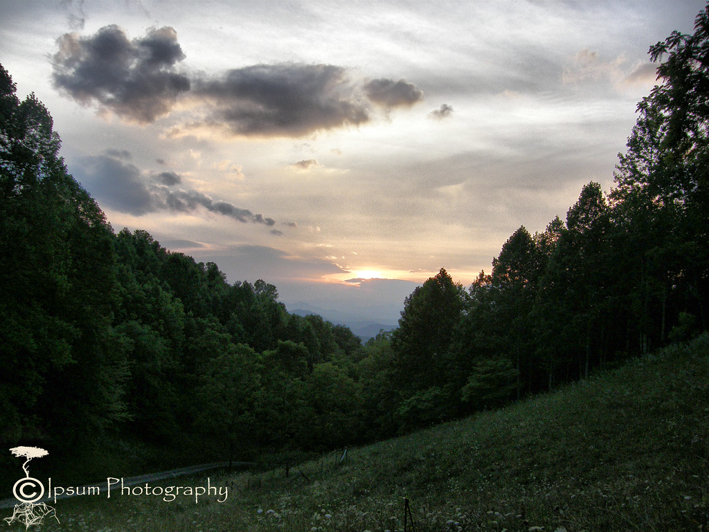
View in the evening!
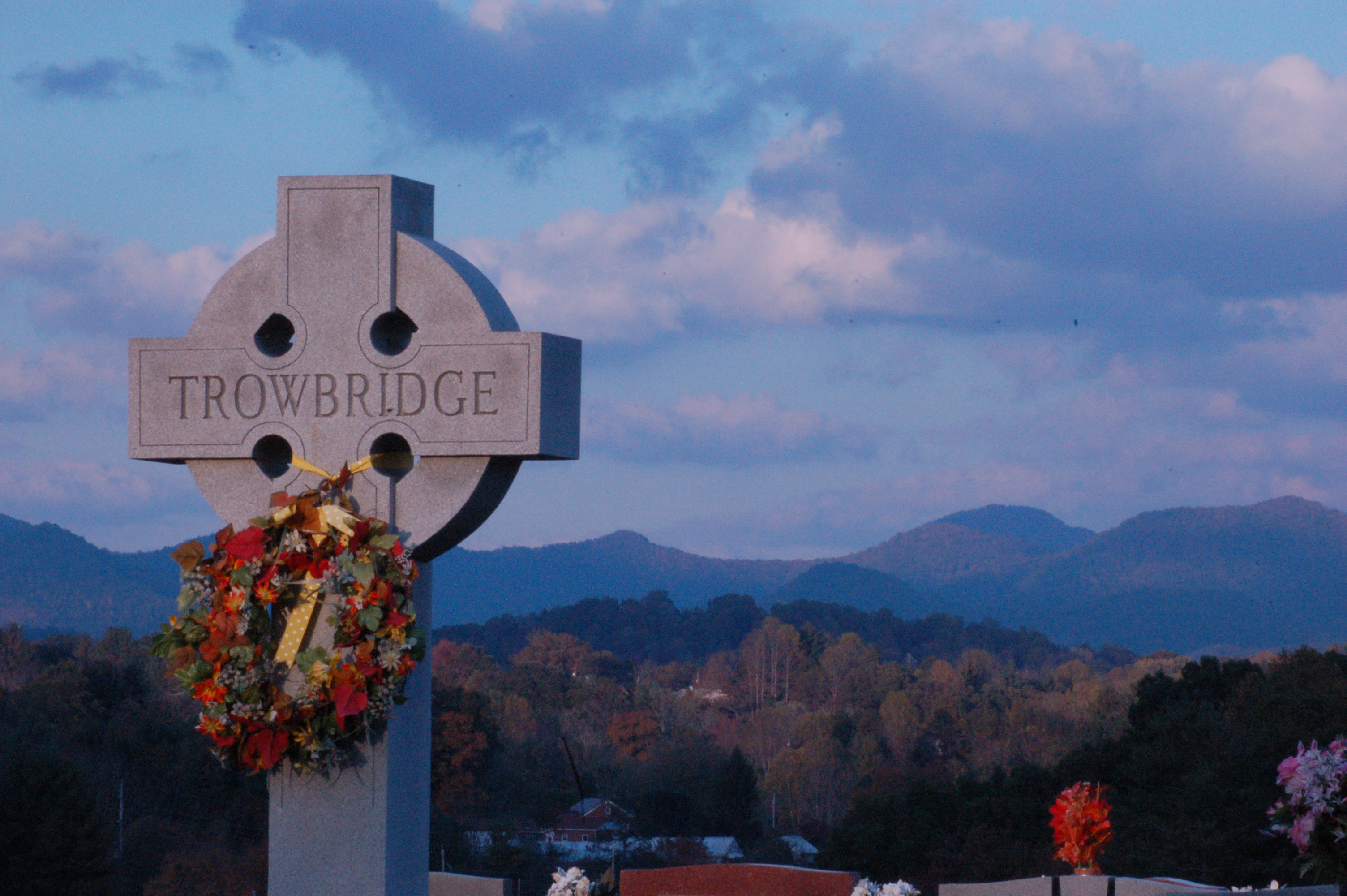
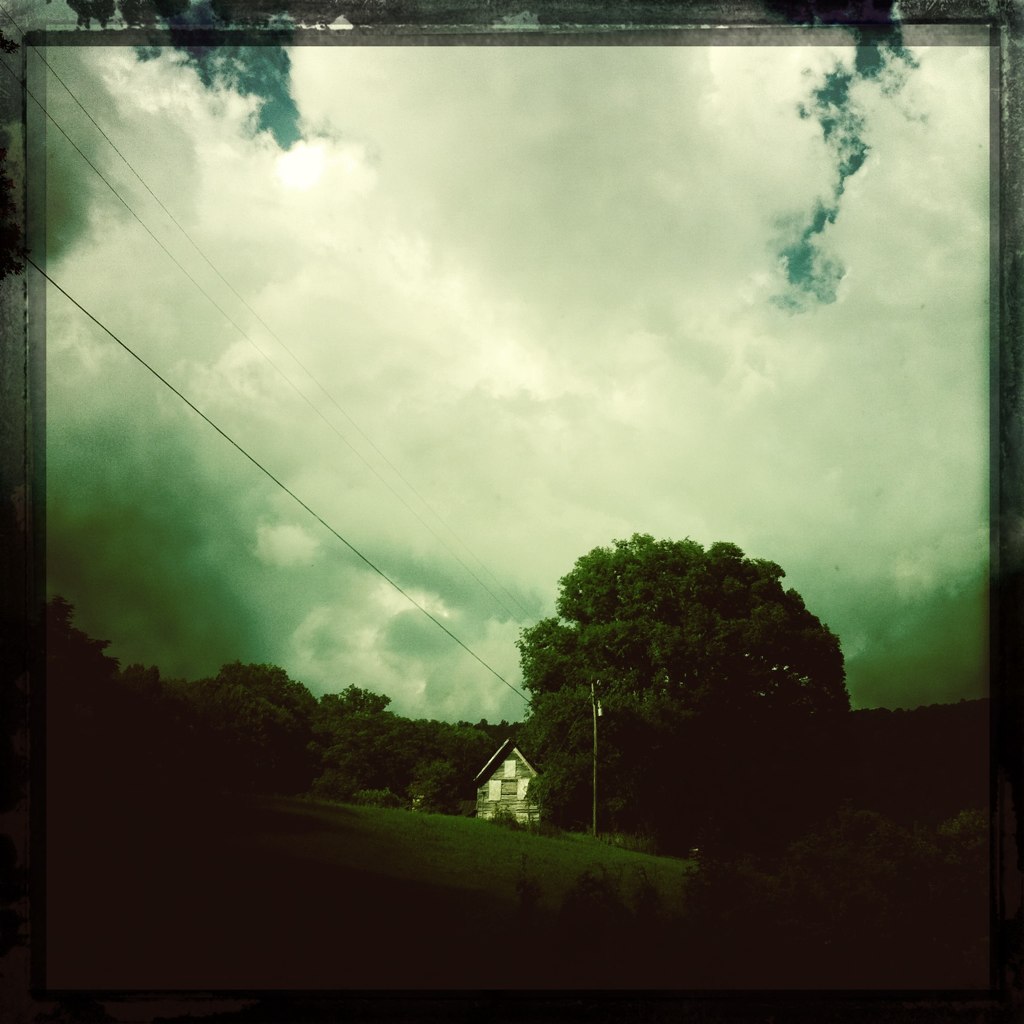
Cemetary View
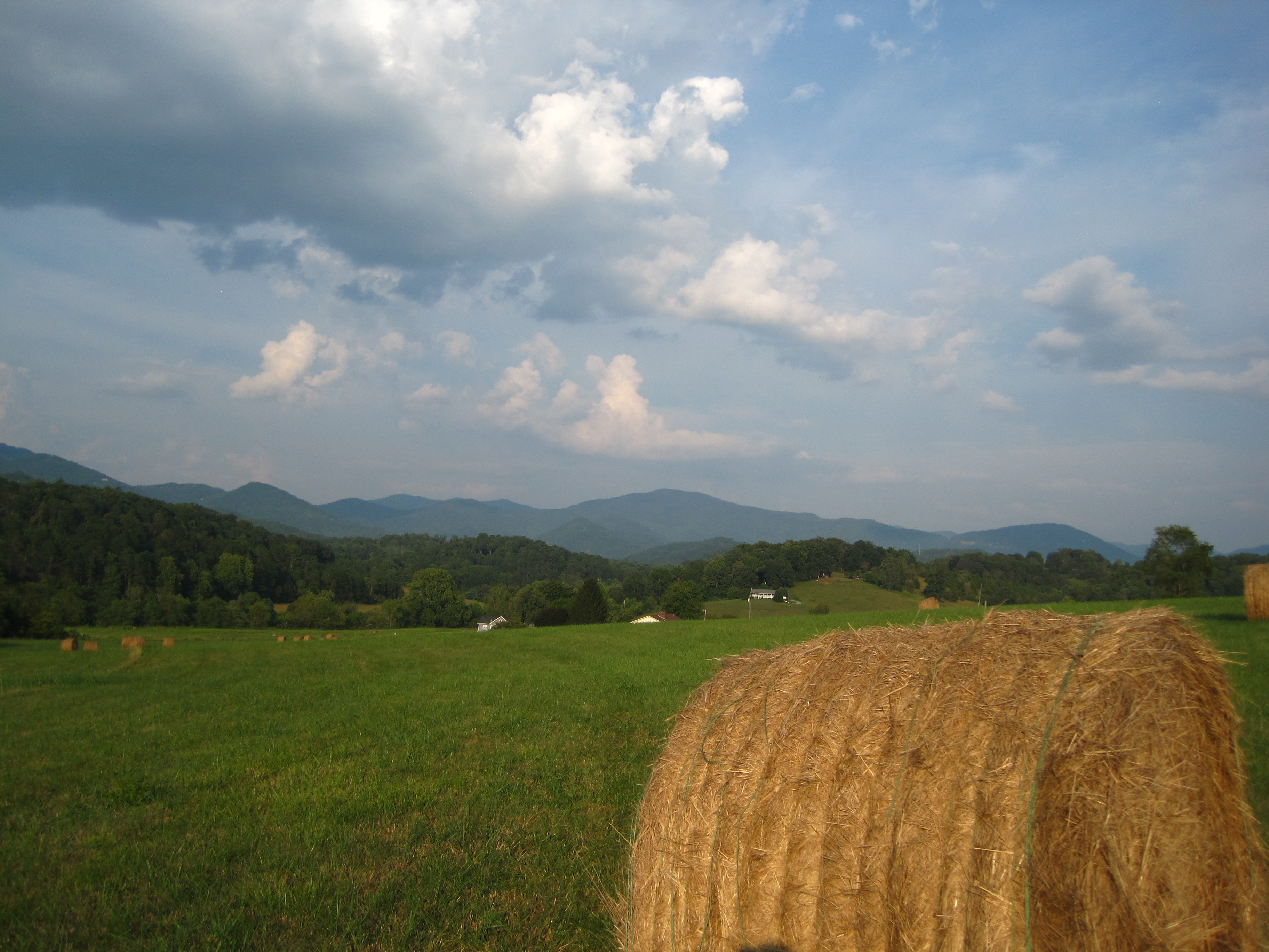
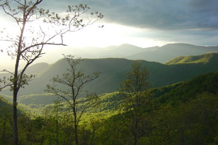
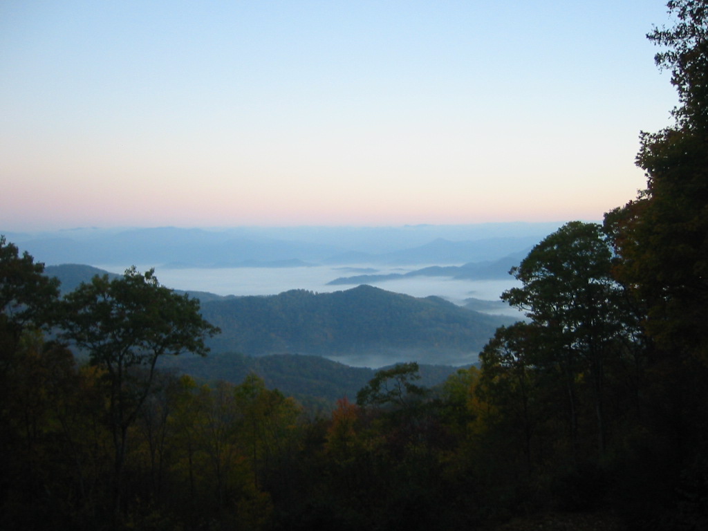
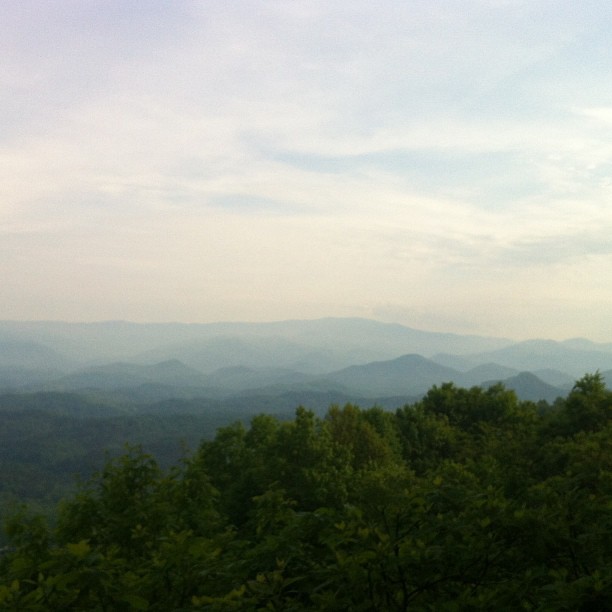
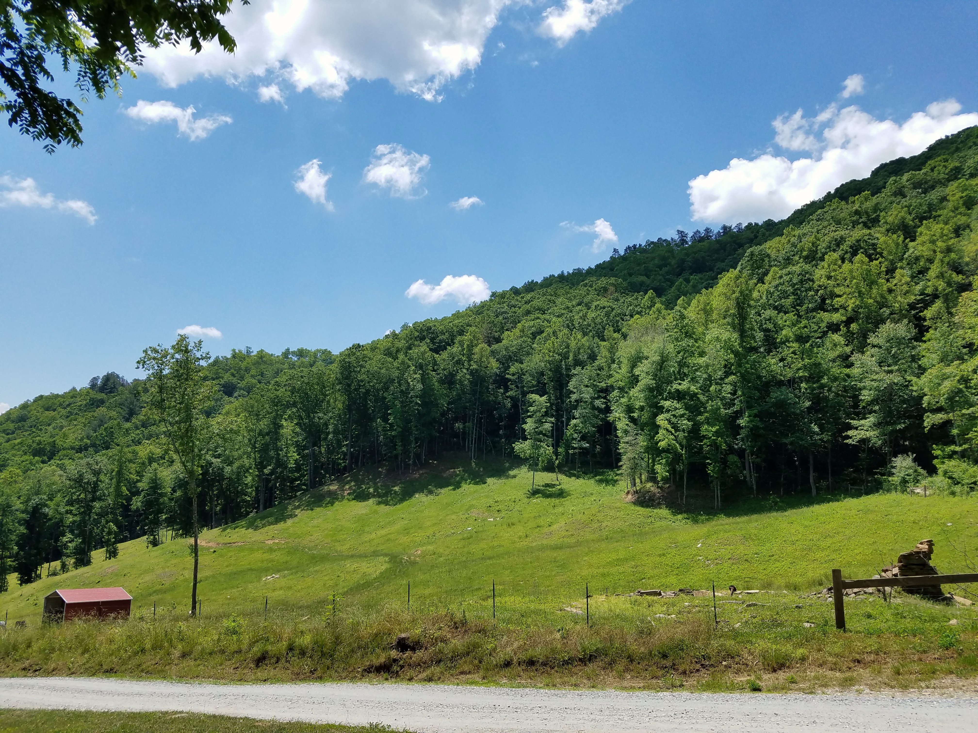
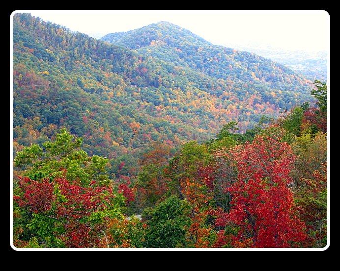
The Cowee Mountains.
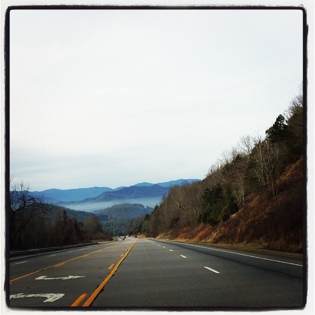
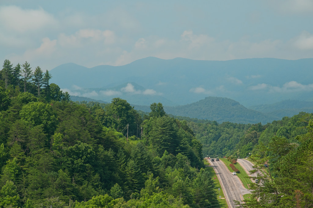
Driving thru the Smokey Mountains, what a view!

Fire Pink
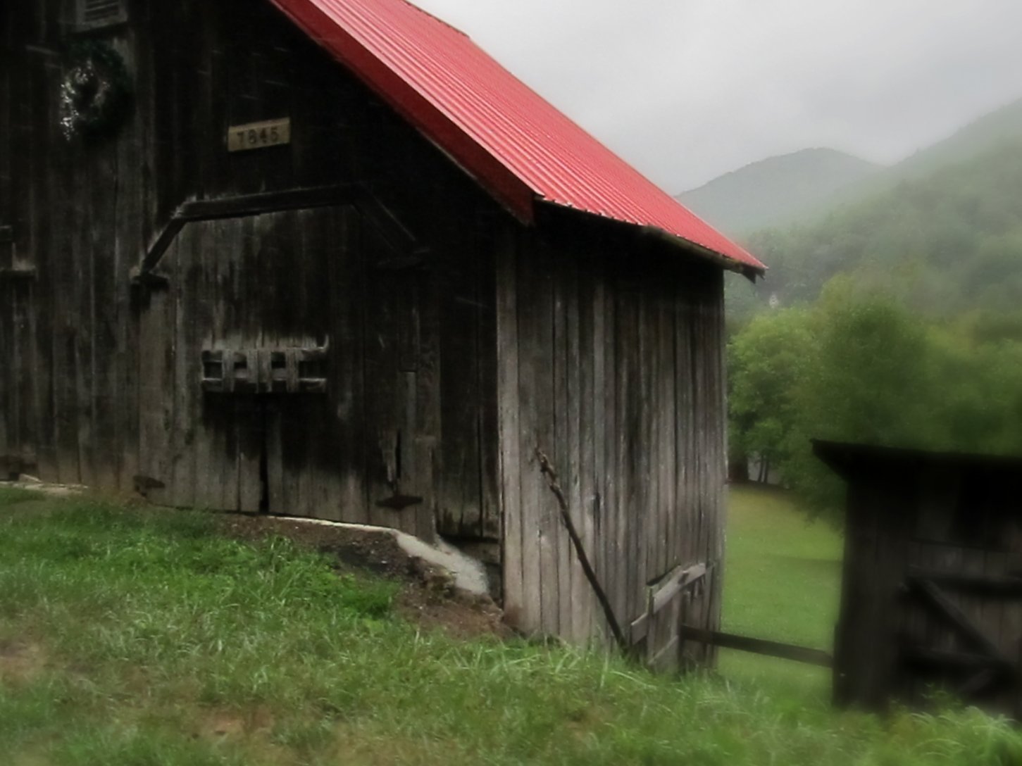
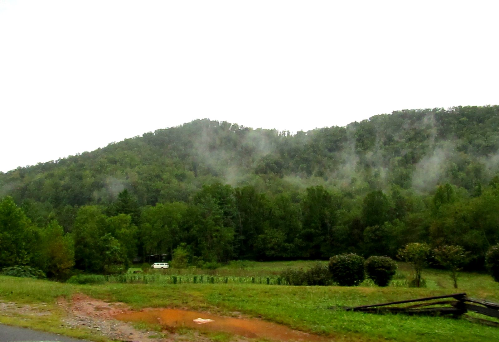
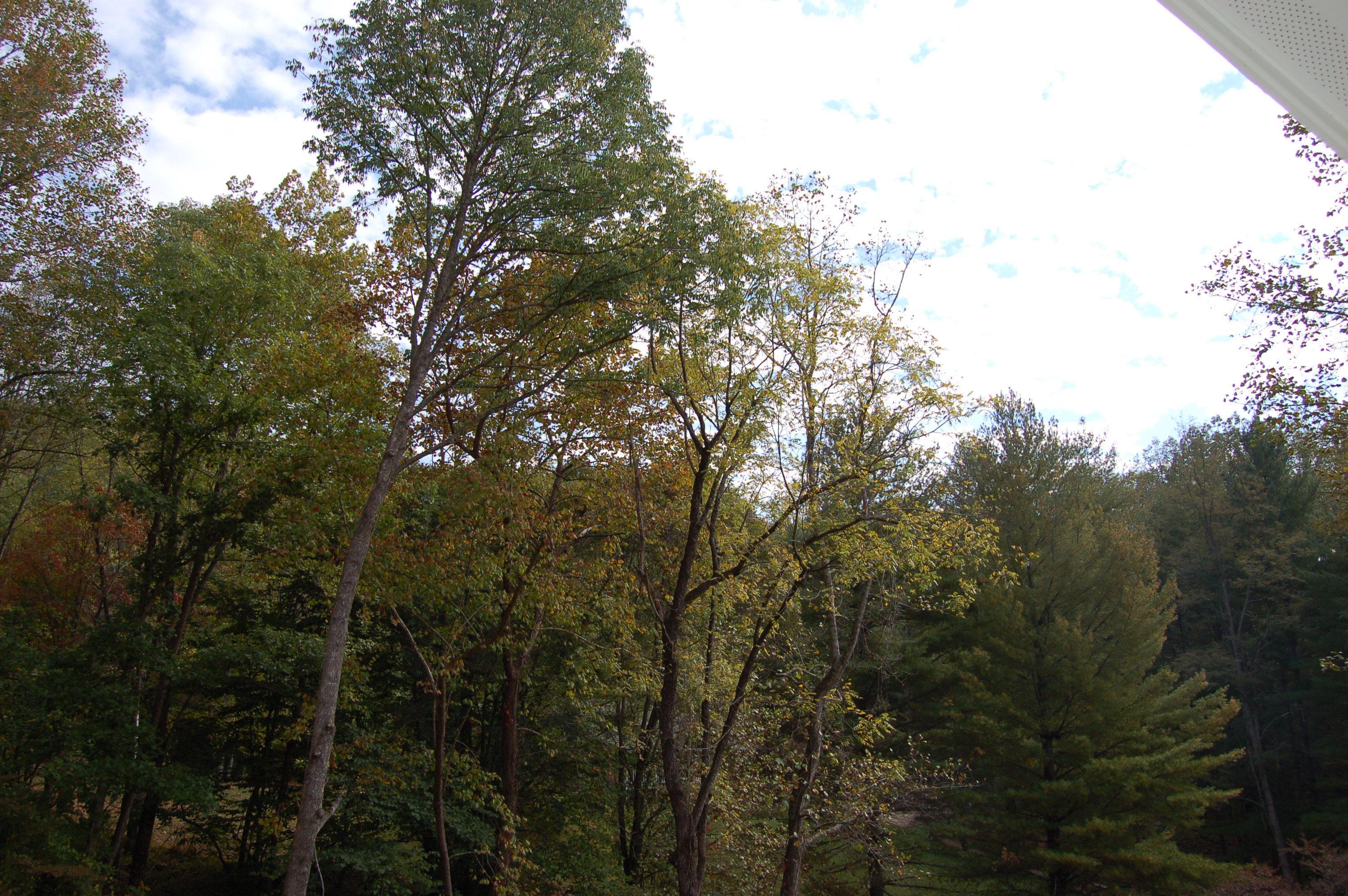
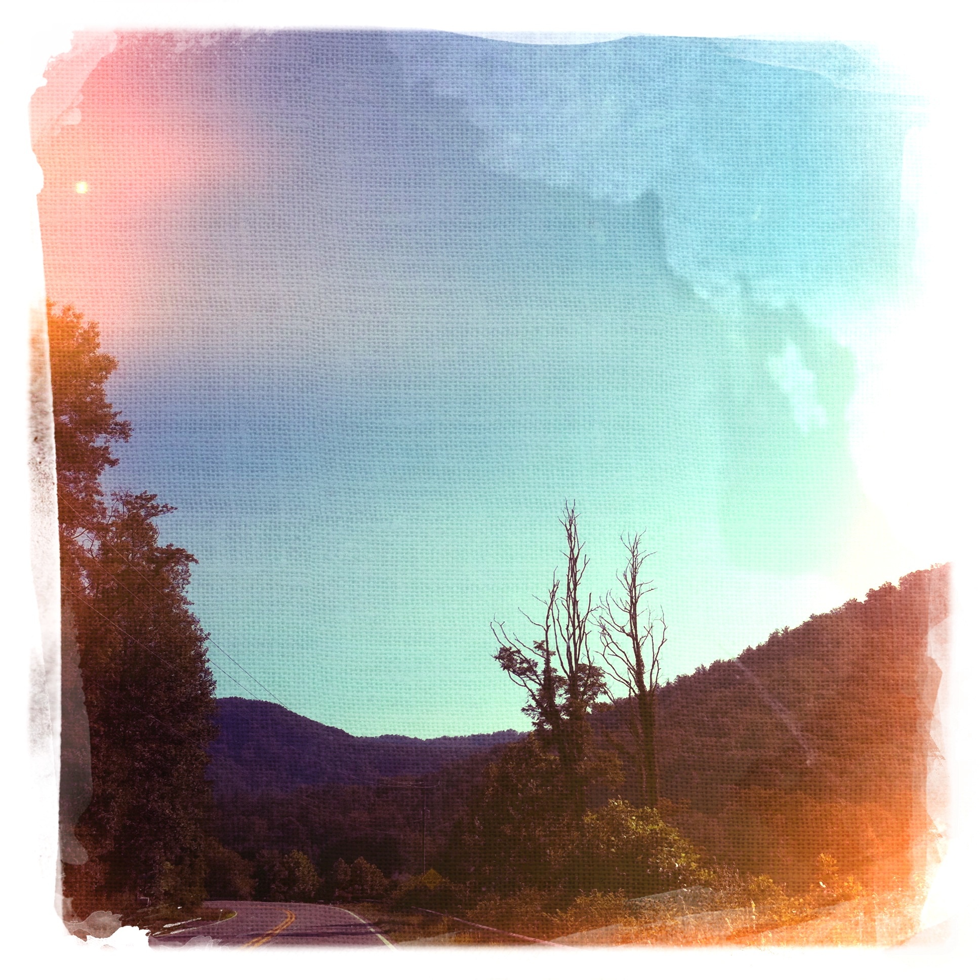
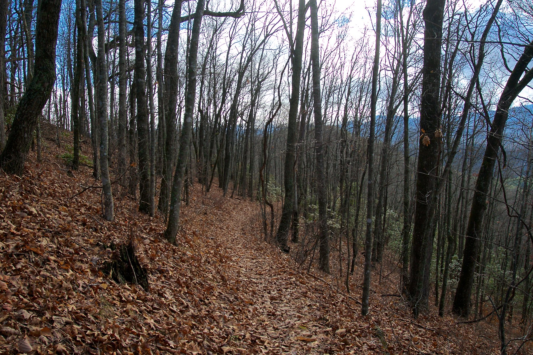
view from the road
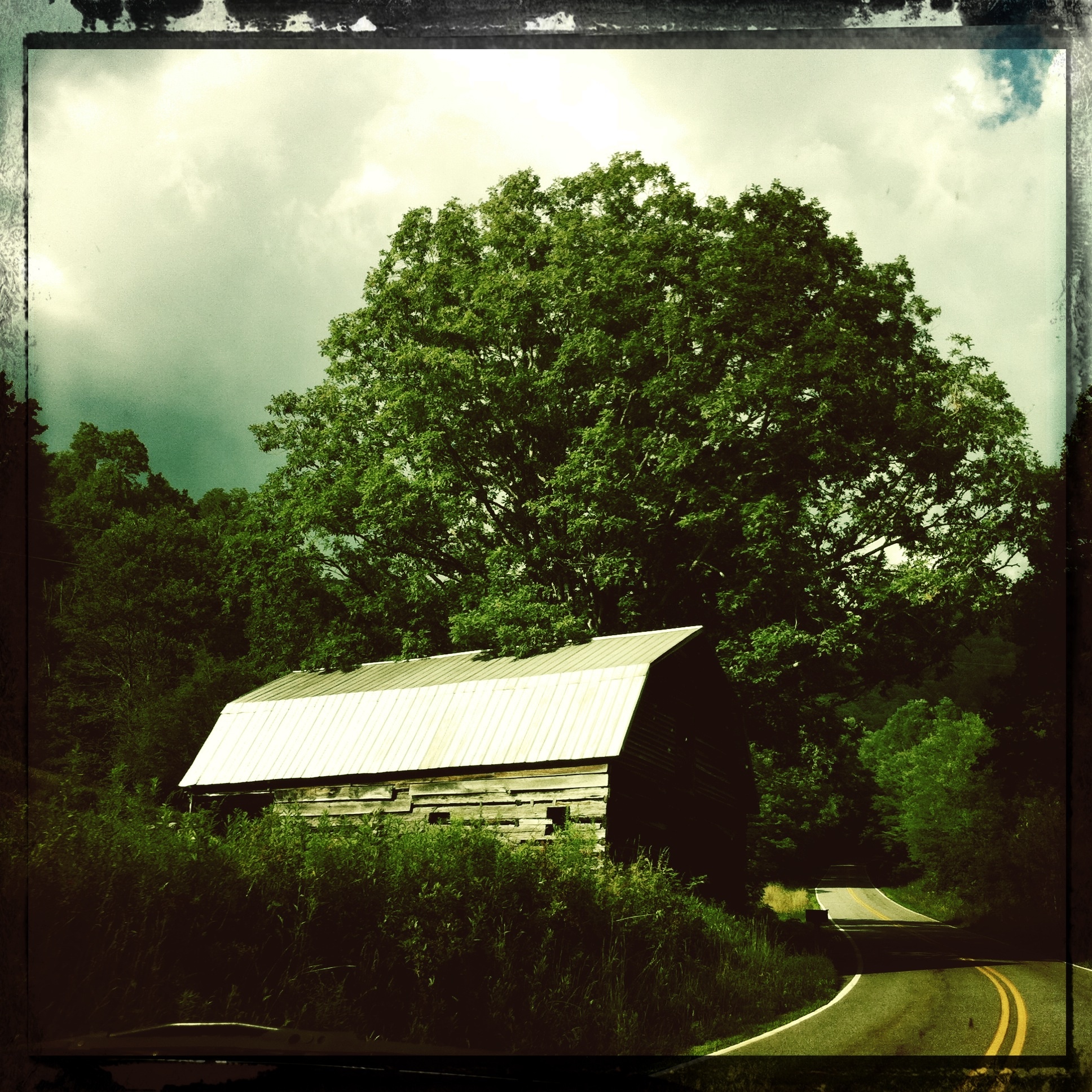
Mountain Waters Scenic Byway, Between Franklin and Highlands, North Carolina
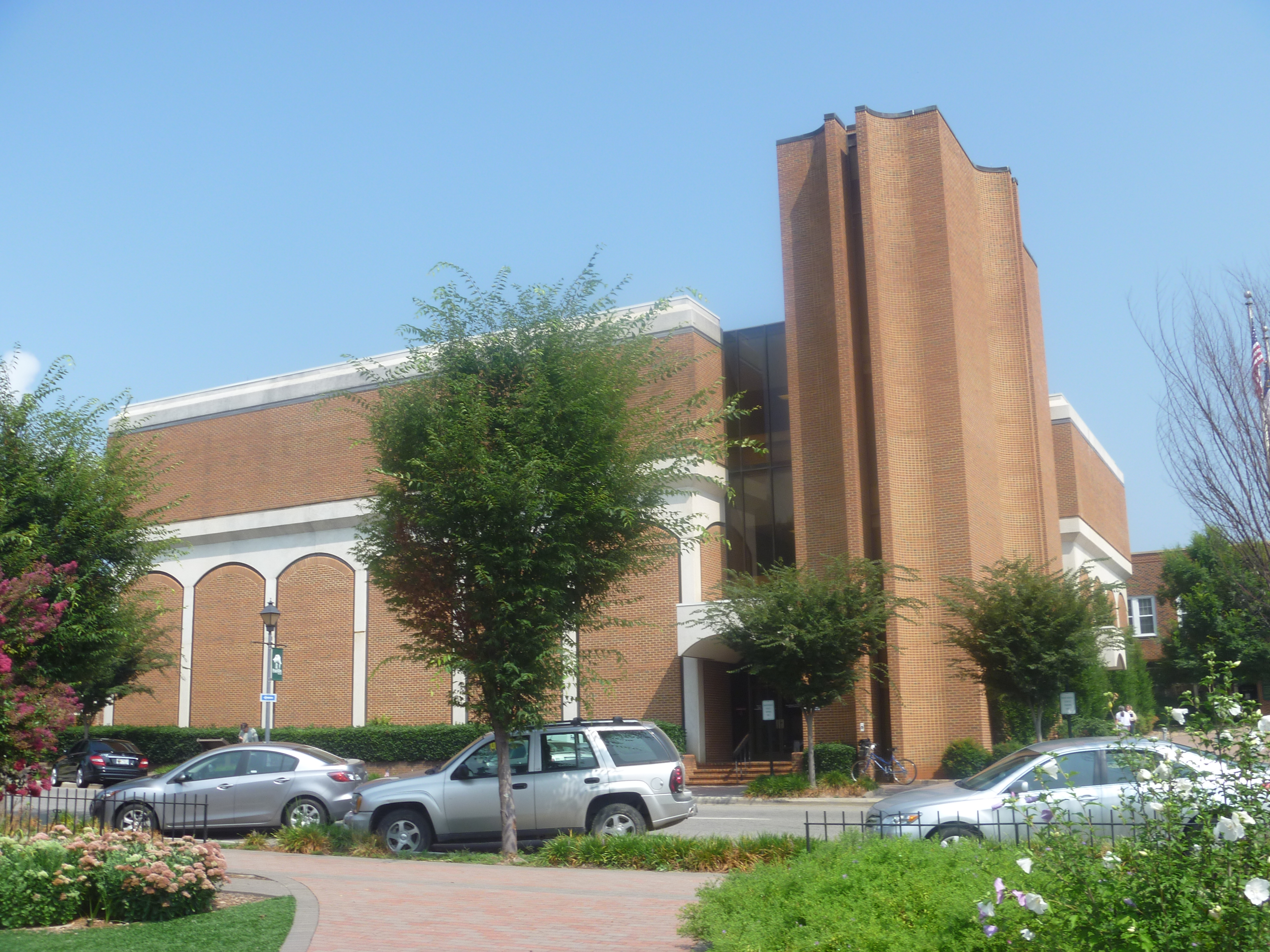
Side View Of Macon County Courthouse
Cowee Valley by Susan
Mountain Waters Scenic Byway, Between Franklin and Highlands, North Carolina
Front Porch View 1
Mountain Waters Scenic Byway, Between Franklin and Highlands, North Carolina

Cowee Bald Fire Tower - North Carolina
View from Al & Bill's cabin – Sylva, NC
View from our cabin outside Sylva, NC
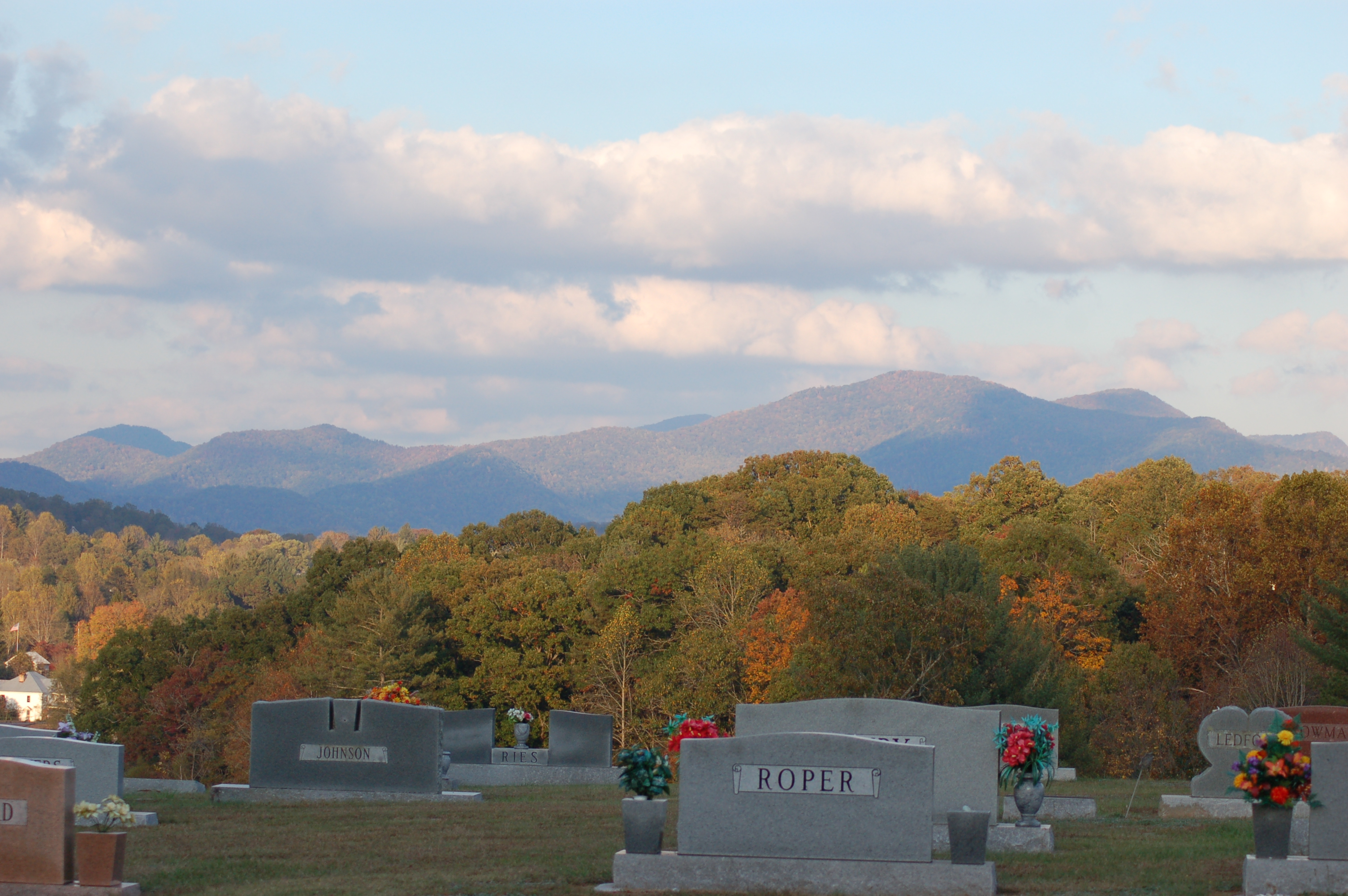
Cemetary Ridge
Good morning, #brysoncity #northcarolina! View from the cabin balcony #nofilter #ttot

Front Porch View 3
Front Porch View 2
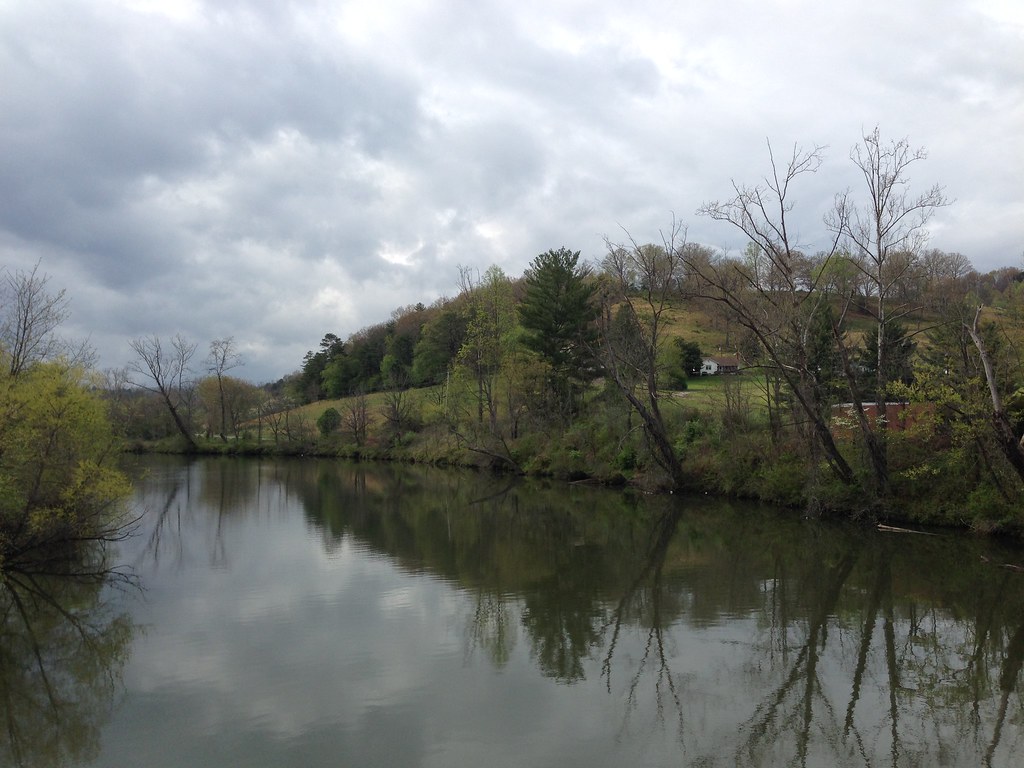
Little Tennessee River
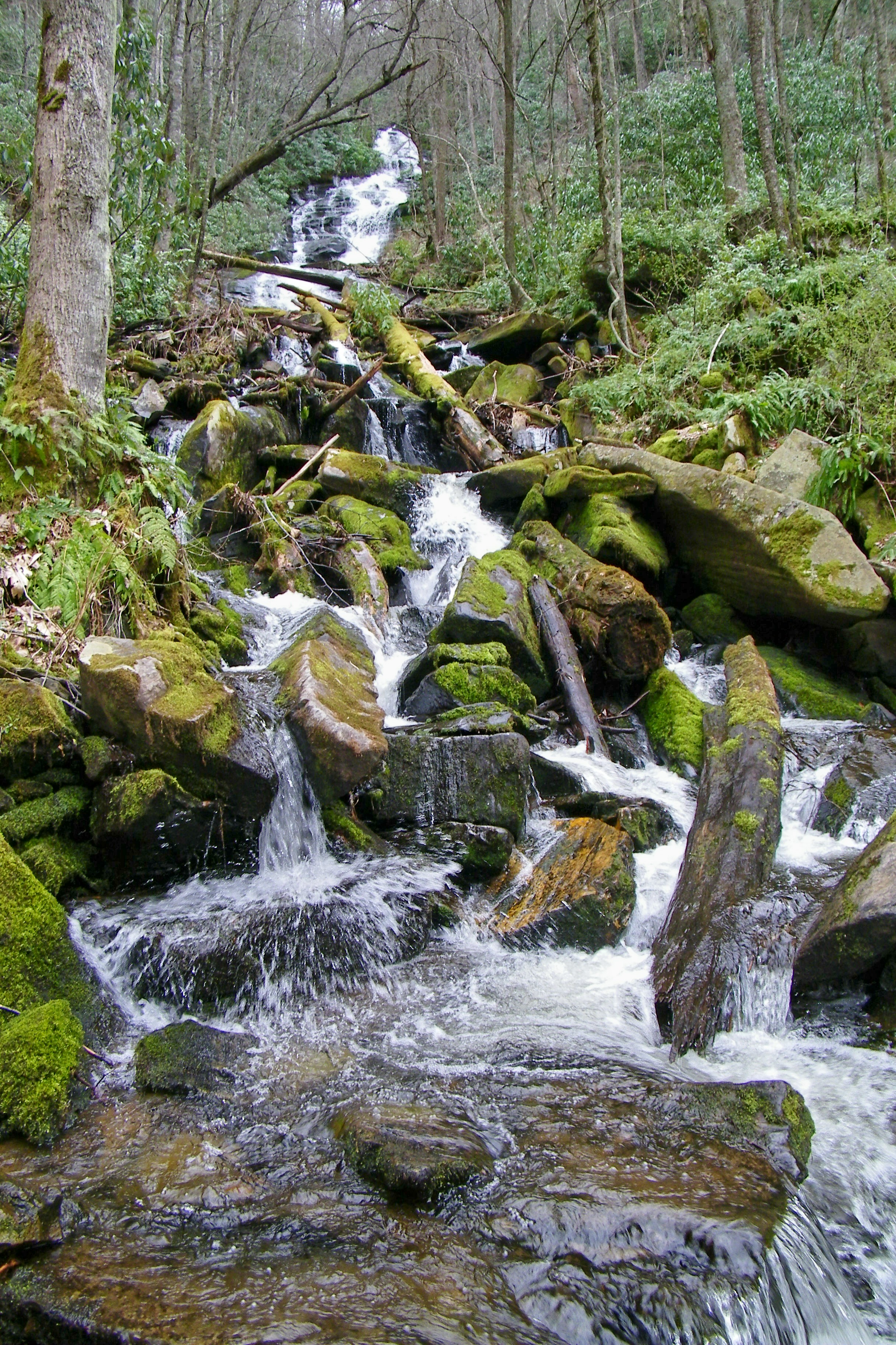
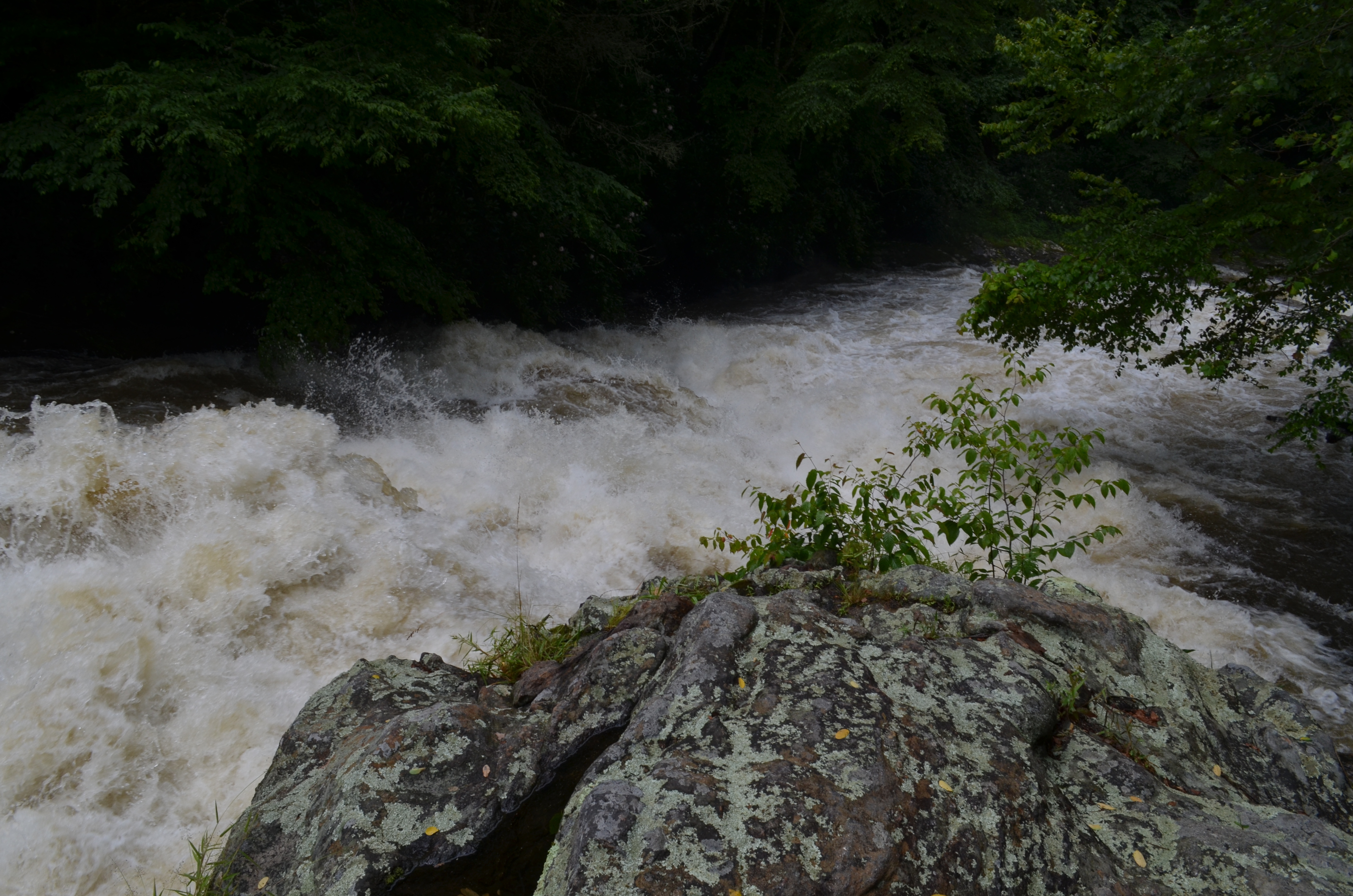
Alarka Falls
2016-06-01_10-03-41
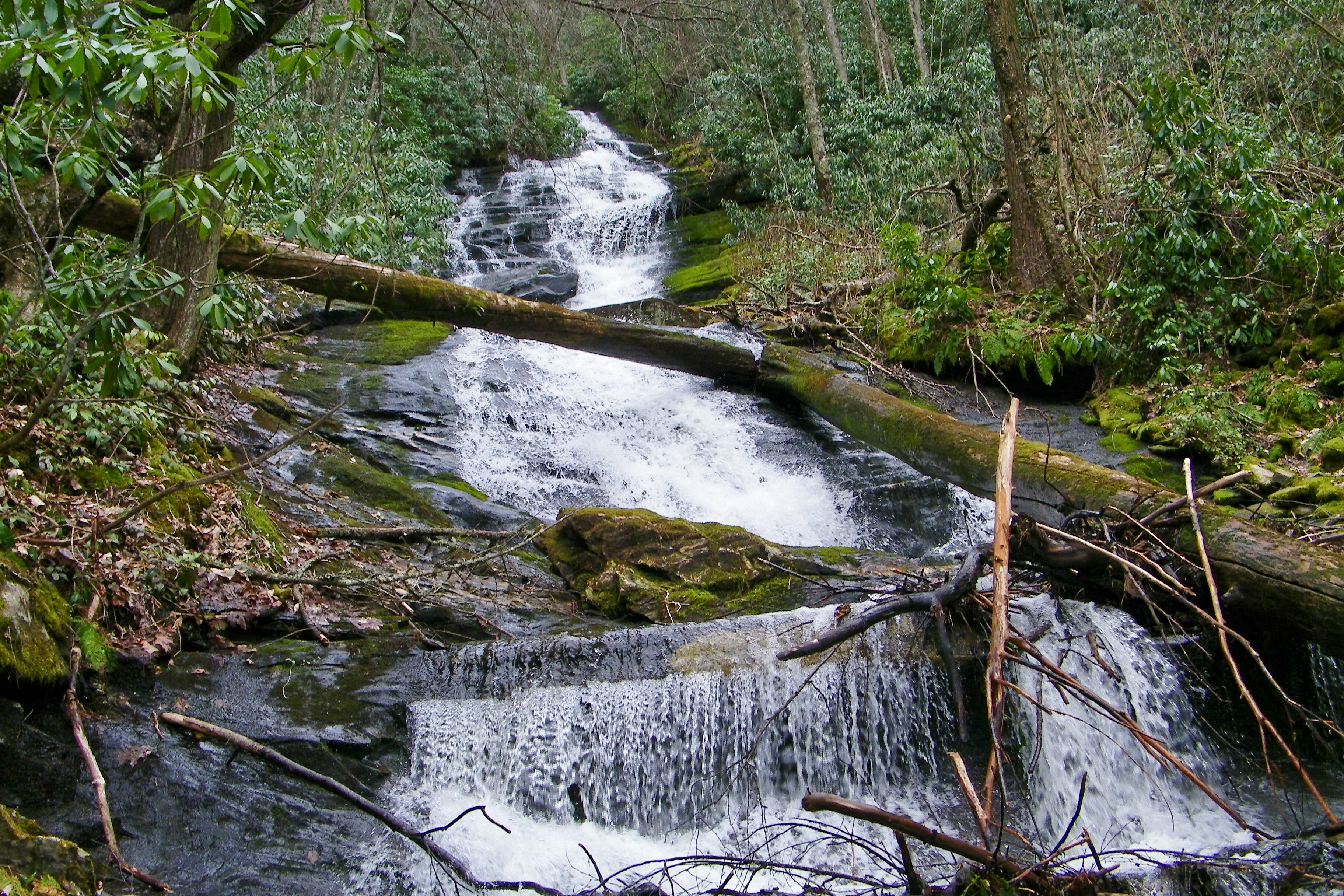
Alarka Falls
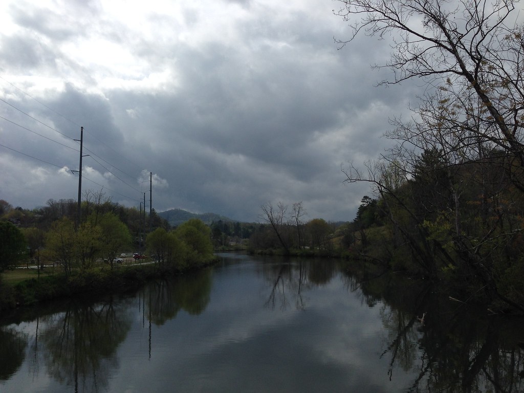
Little Tennessee River
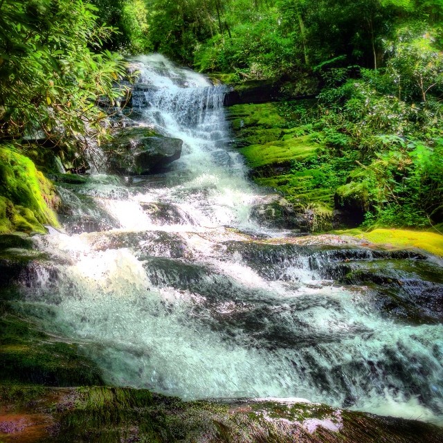
Alarka Falls #alarkafalls #brysoncity #wnc #ncwaterfalls #waterfallpics #waterfallhiking #waterfallphotography #iphotography #igersoftheday #828isgreat #blueridgecountry
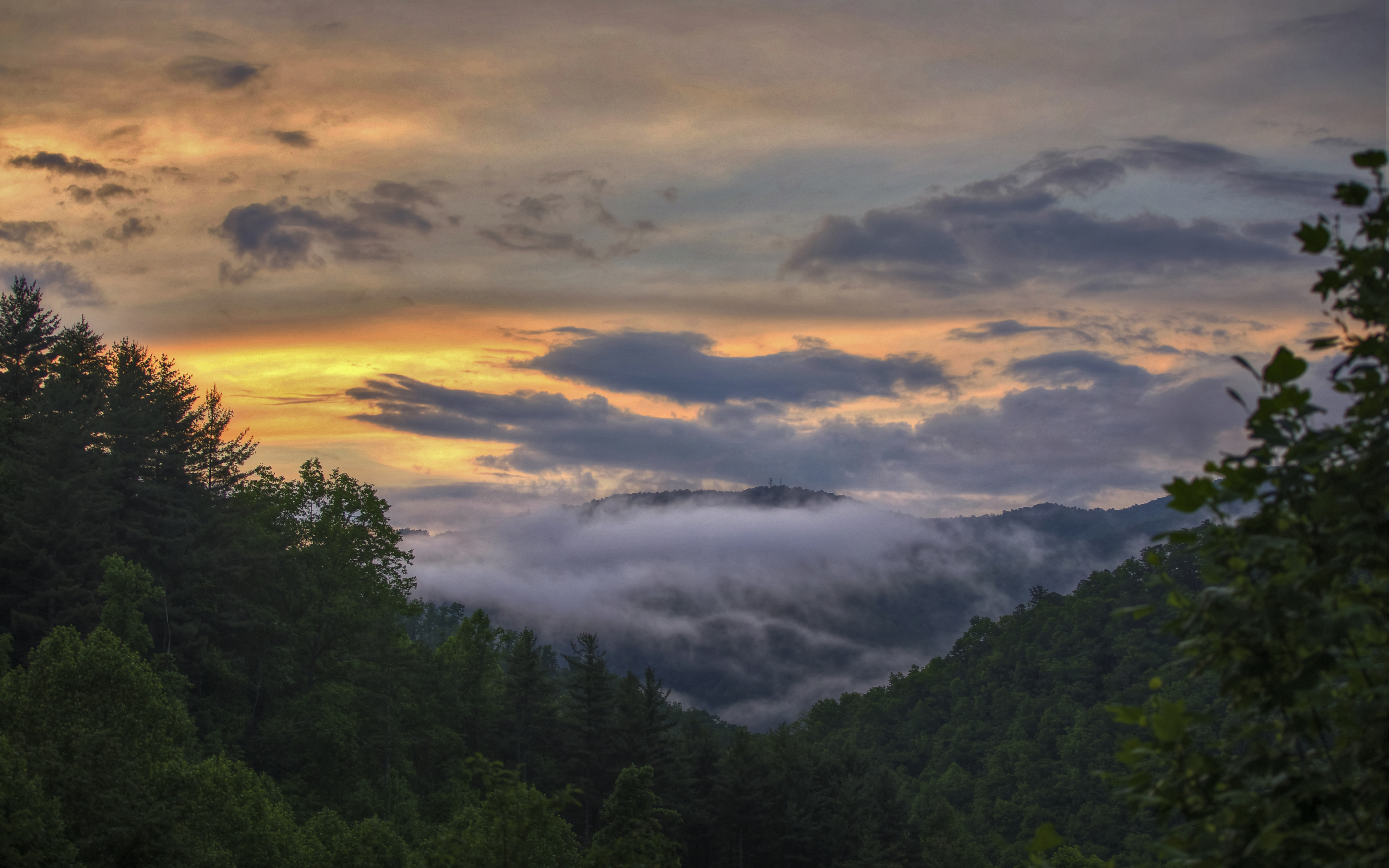
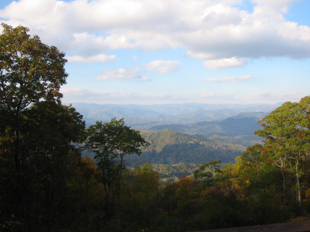
Smoky Mountains
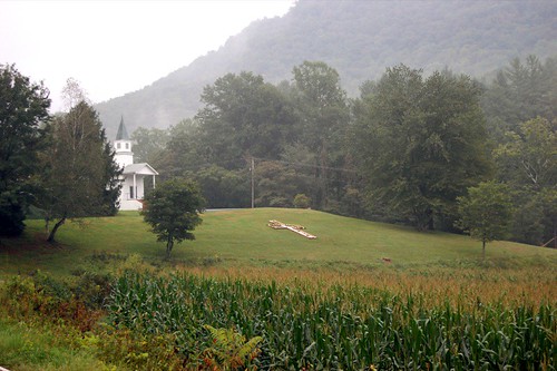
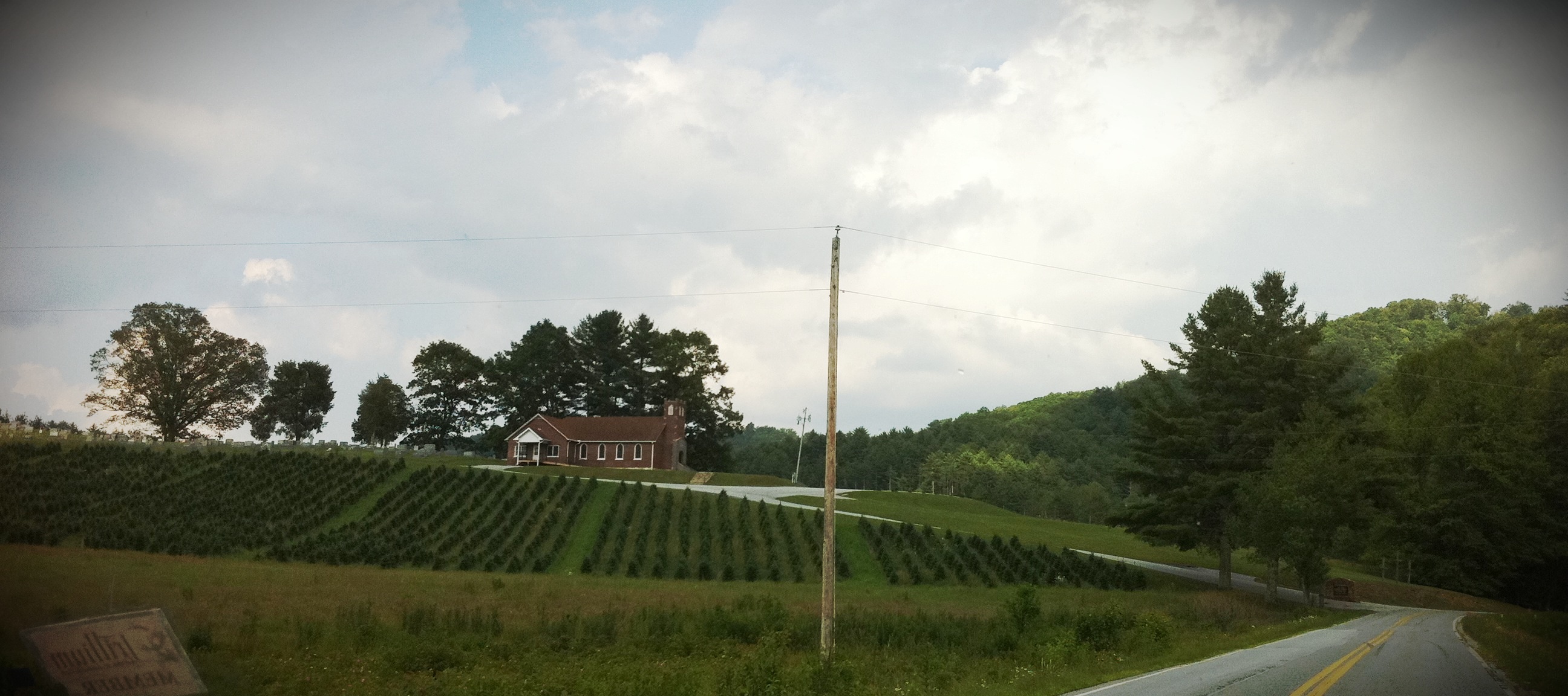
church.JPG
Wild Flower & Spec 046
Mountain Roads #3
Mountain Roads #4
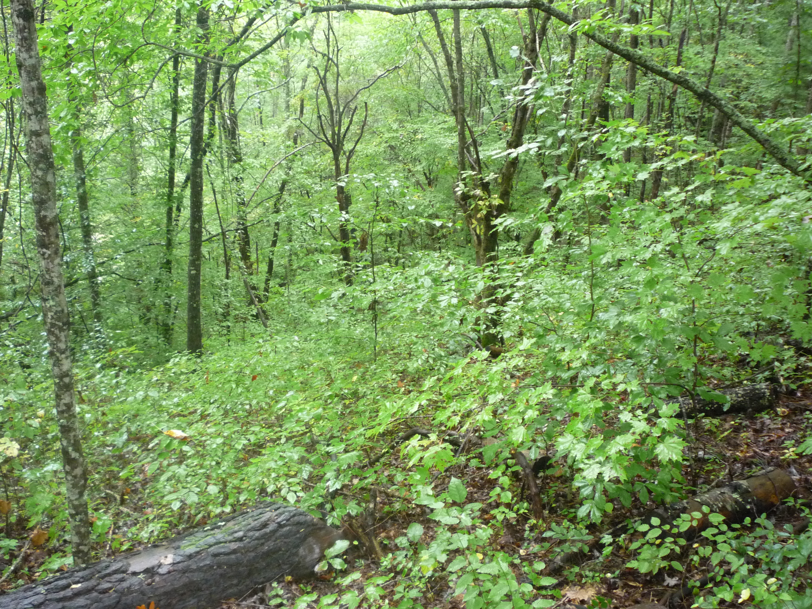
"The woods are lovely, dark and deep..."
Summit of W4C/WM-102 - Wilkes Knob
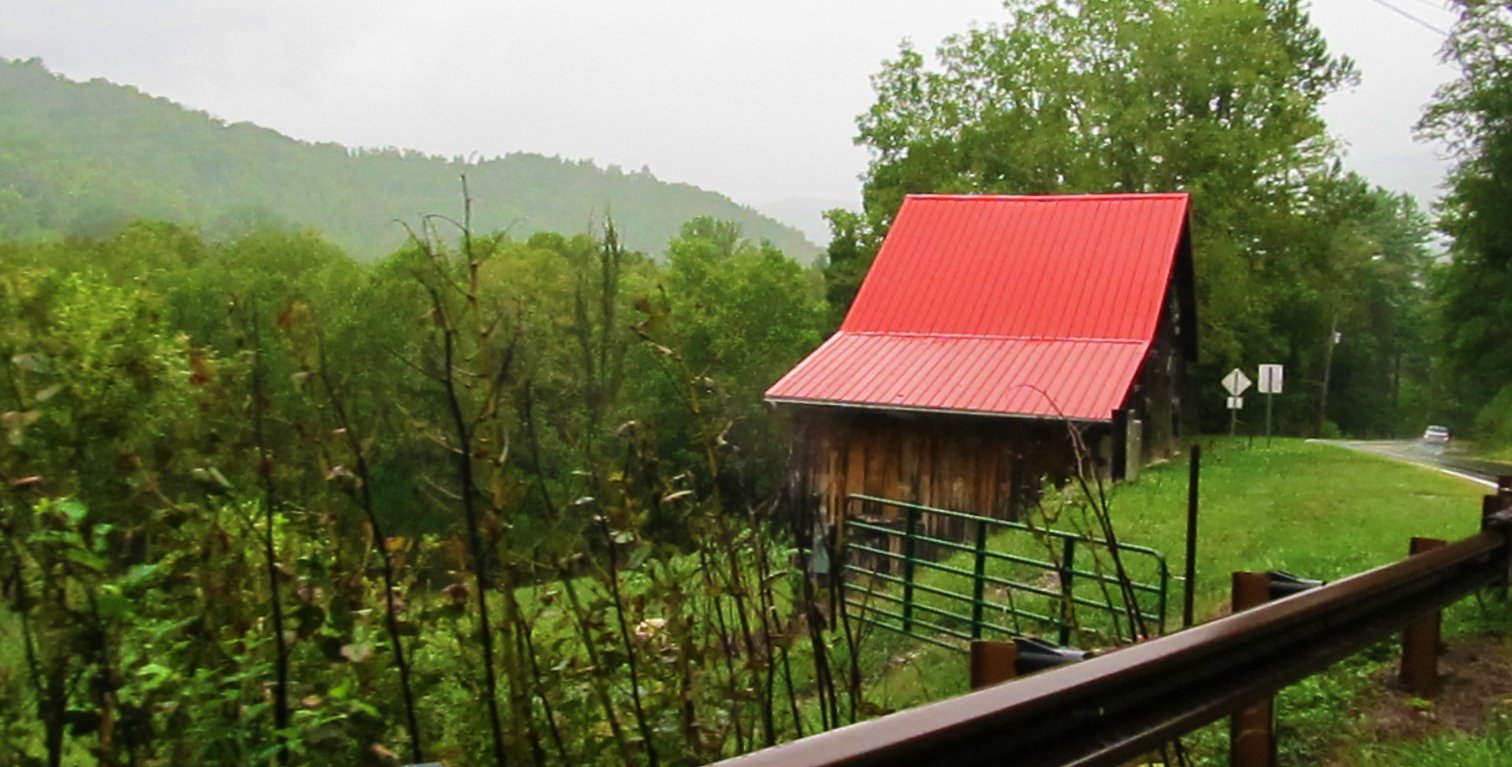
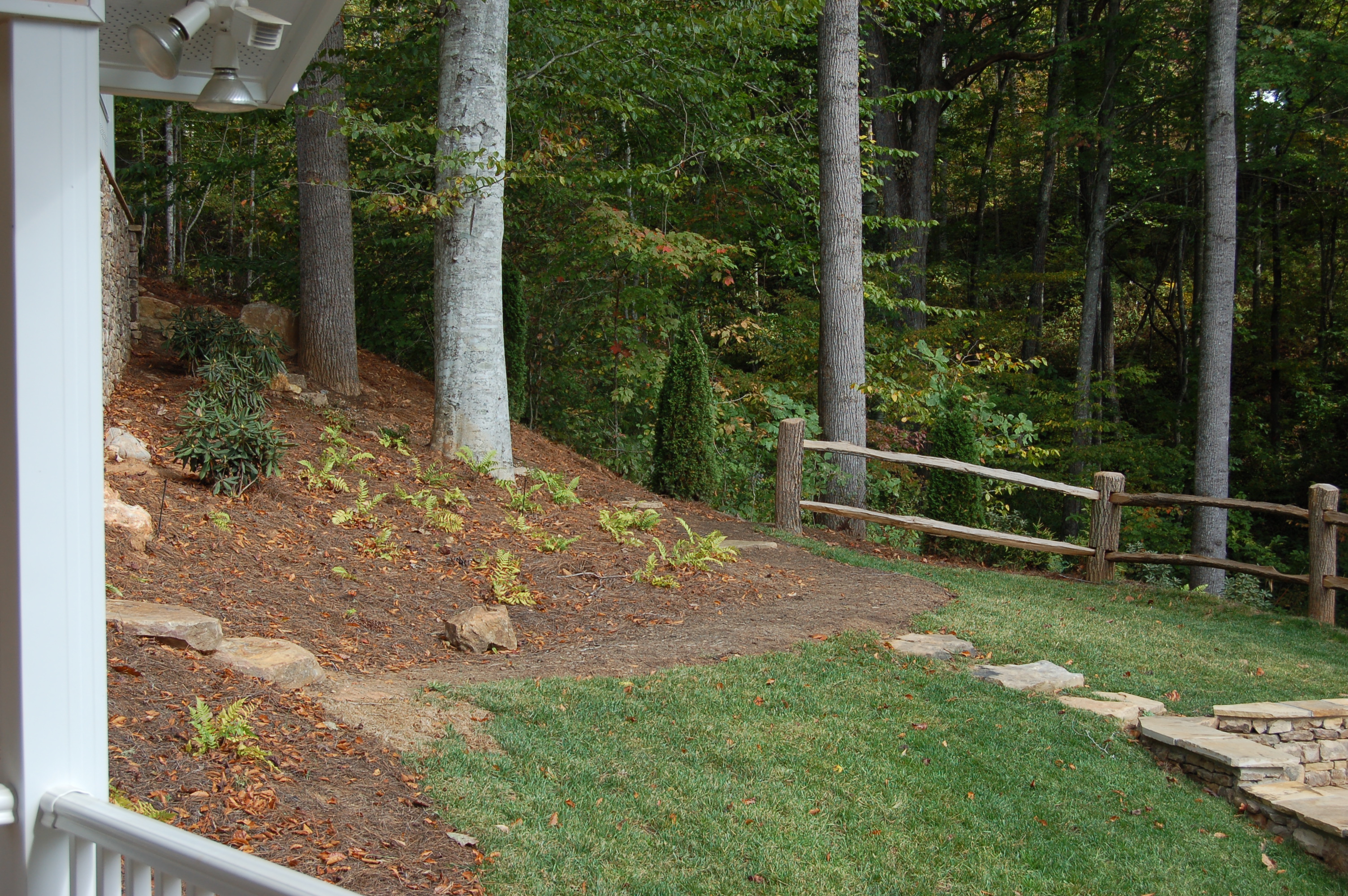
What a Front Yard
Mountain Roads #5: Christmas Tree Farm
Bartram Trail on the way to W4C/WM-102 - Wilkes Knob
Franklin, North Carolina
Cullasaja River
Walnut Creek Road
Topographic Map of Butterfly Blvd, Franklin, NC, USA
Find elevation by address:

Places near Butterfly Blvd, Franklin, NC, USA:
154 Fenno Hill
207 Fenno Hill
280 Sanderstown Ridge Rd
130 Kangas Dr
2394 Sanderstown Rd
226 Falcon Dr
127 Red Fox Ln
14 Lyle Knob Rd
14 State Rd 1334
Lyle Knob Road
4615 Bryson City Rd
1361 Sanderstown Rd
43 Gale Trail
130 5 Points Dr
237 Clear Sky Dr
89 Katydid Ln
557 Clyde Downs Rd
1600 Riverbend Rd
140 Terrace Ridge Dr
191 N Shore Dr
Recent Searches:
- Elevation of Zimmer Trail, Pennsylvania, USA
- Elevation of 87 Kilmartin Ave, Bristol, CT, USA
- Elevation of Honghe National Nature Reserve, QP95+PJP, Tongjiang, Heilongjiang, Jiamusi, Heilongjiang, China
- Elevation of Hercules Dr, Colorado Springs, CO, USA
- Elevation of Szlak pieszy czarny, Poland
- Elevation of Griffing Blvd, Biscayne Park, FL, USA
- Elevation of Kreuzburger Weg 13, Düsseldorf, Germany
- Elevation of Gateway Blvd SE, Canton, OH, USA
- Elevation of East W.T. Harris Boulevard, E W.T. Harris Blvd, Charlotte, NC, USA
- Elevation of West Sugar Creek, Charlotte, NC, USA