Elevation of Raymond, ND, USA
Location: United States > North Dakota > Cass County >
Longitude: -96.973120
Latitude: 46.9435634
Elevation: 273m / 896feet
Barometric Pressure: 98KPa
Elevation Map:
Satellite Map:
Related Photos:

Then and now
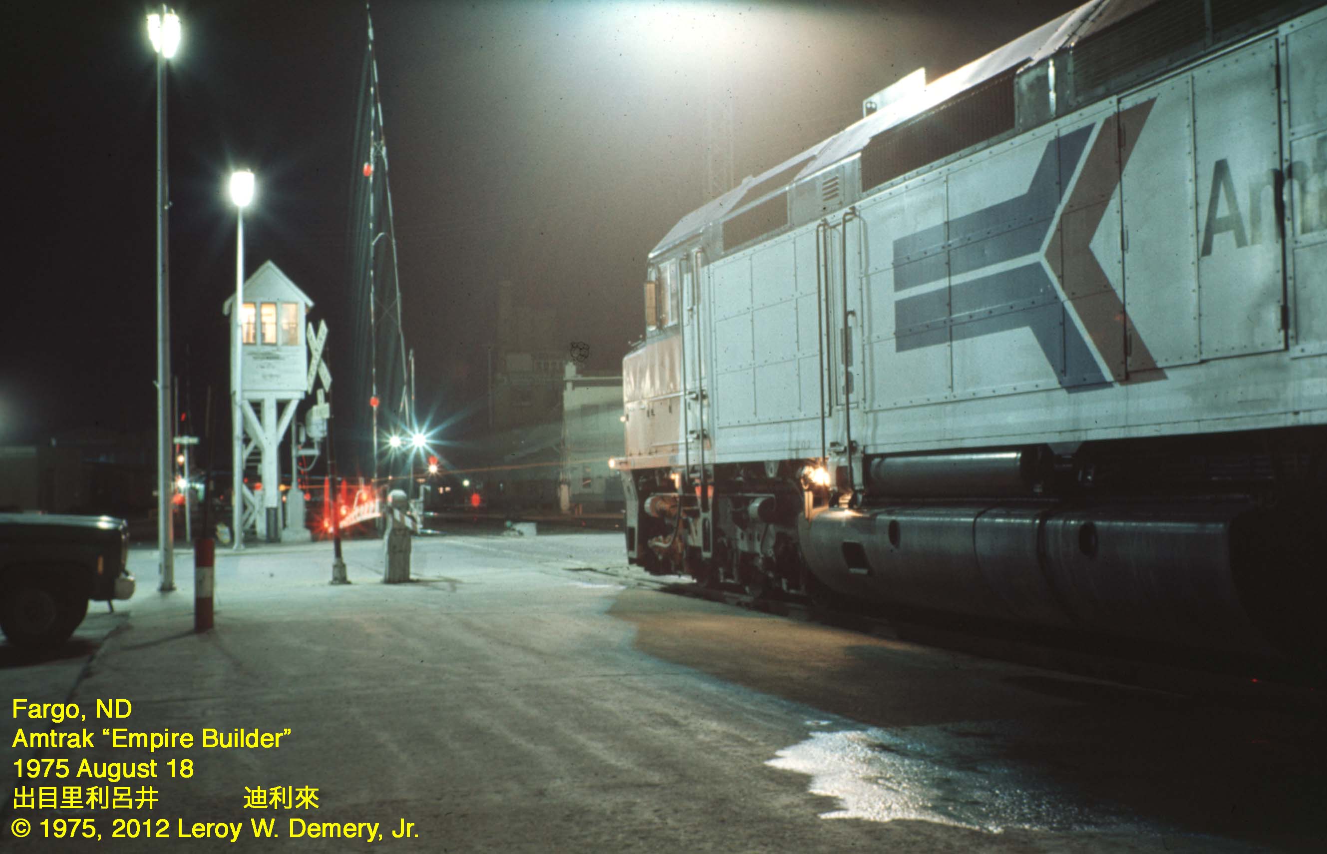
Westbound "Empire Builder" - 2, Fargo, ND, 1975
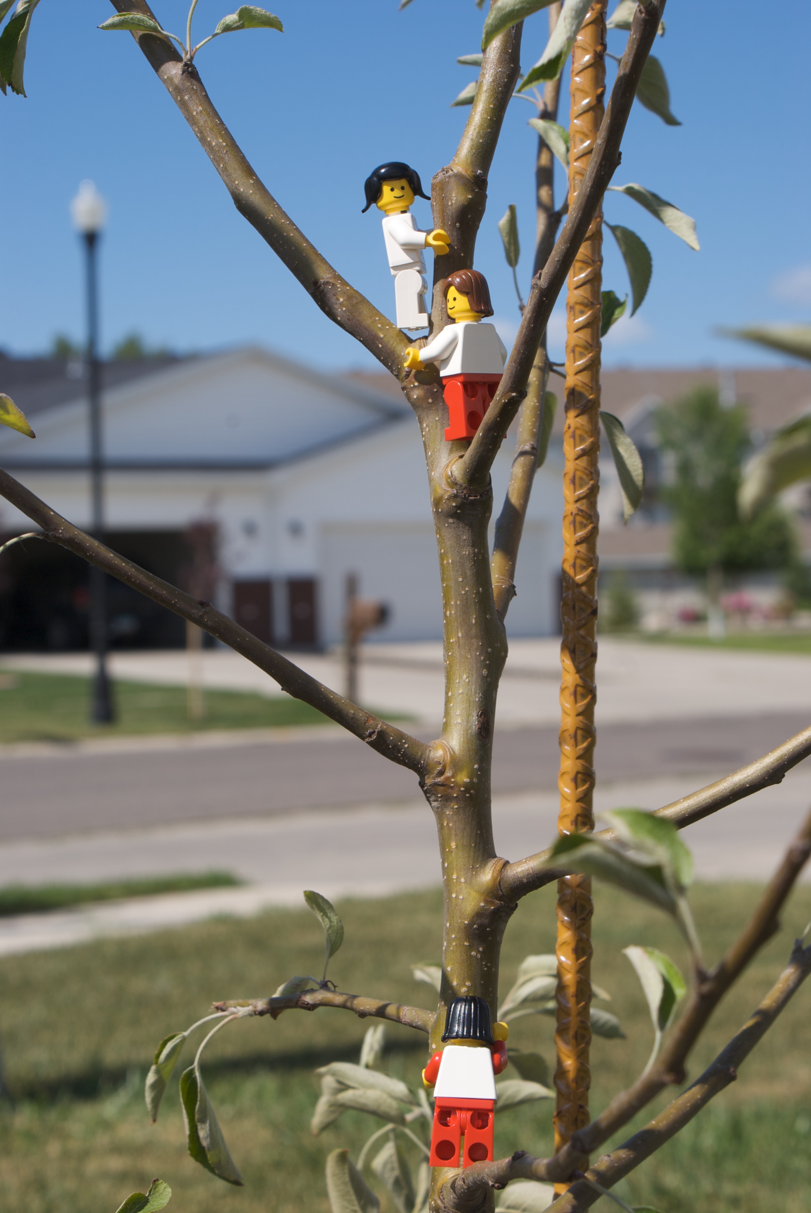
Climbing tree to get a better view
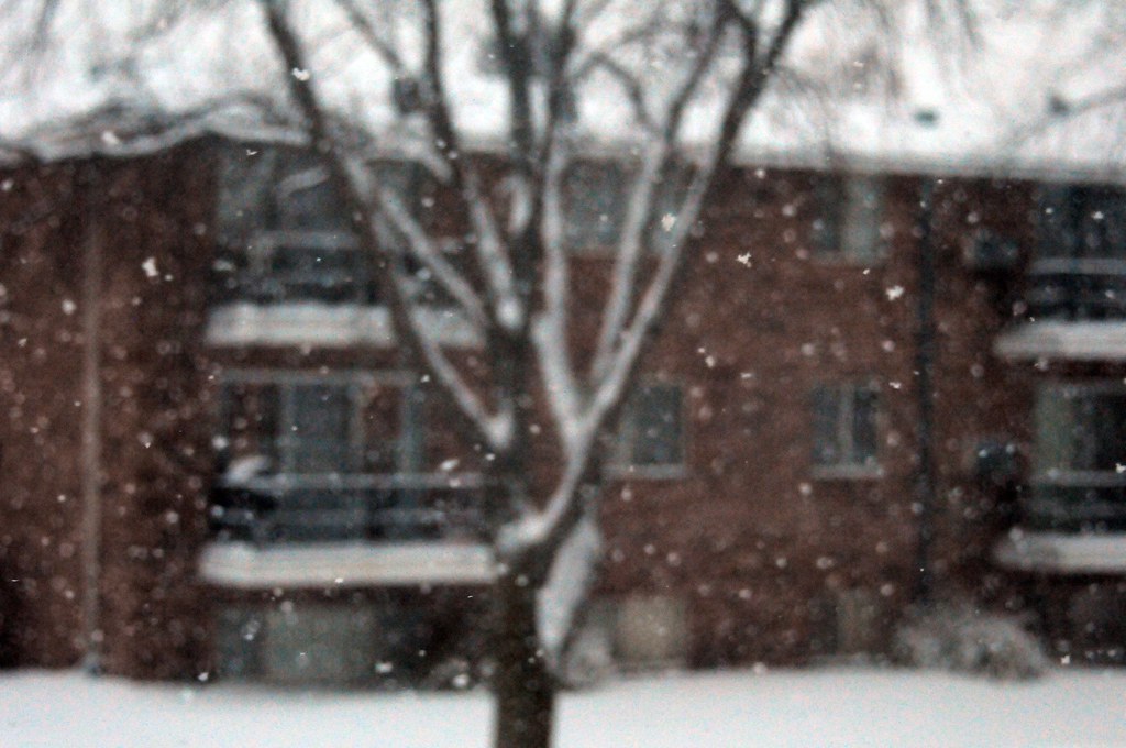
Snow in focus

Heart of the City
20130429-NRCS-LSC-0367

20130429-NRCS-LSC-0354
20130429-NRCS-LSC-0345
20130429-NRCS-LSC-0349

P-51 Mustang at the Air Museum

calm winters day at the library
20130429-NRCS-LSC-0343
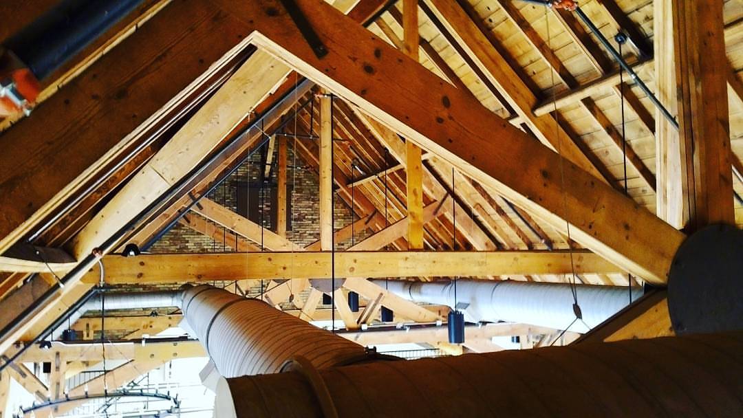
A unique view of the equipment ridiculously cool @sanctuaryevents ceiling. Taken while running cable for @livewire_now. #ilovefargo #northofnormal #ndlegendary

View from above

BNSF eastbound with CSX tagging along near Mapleton, ND
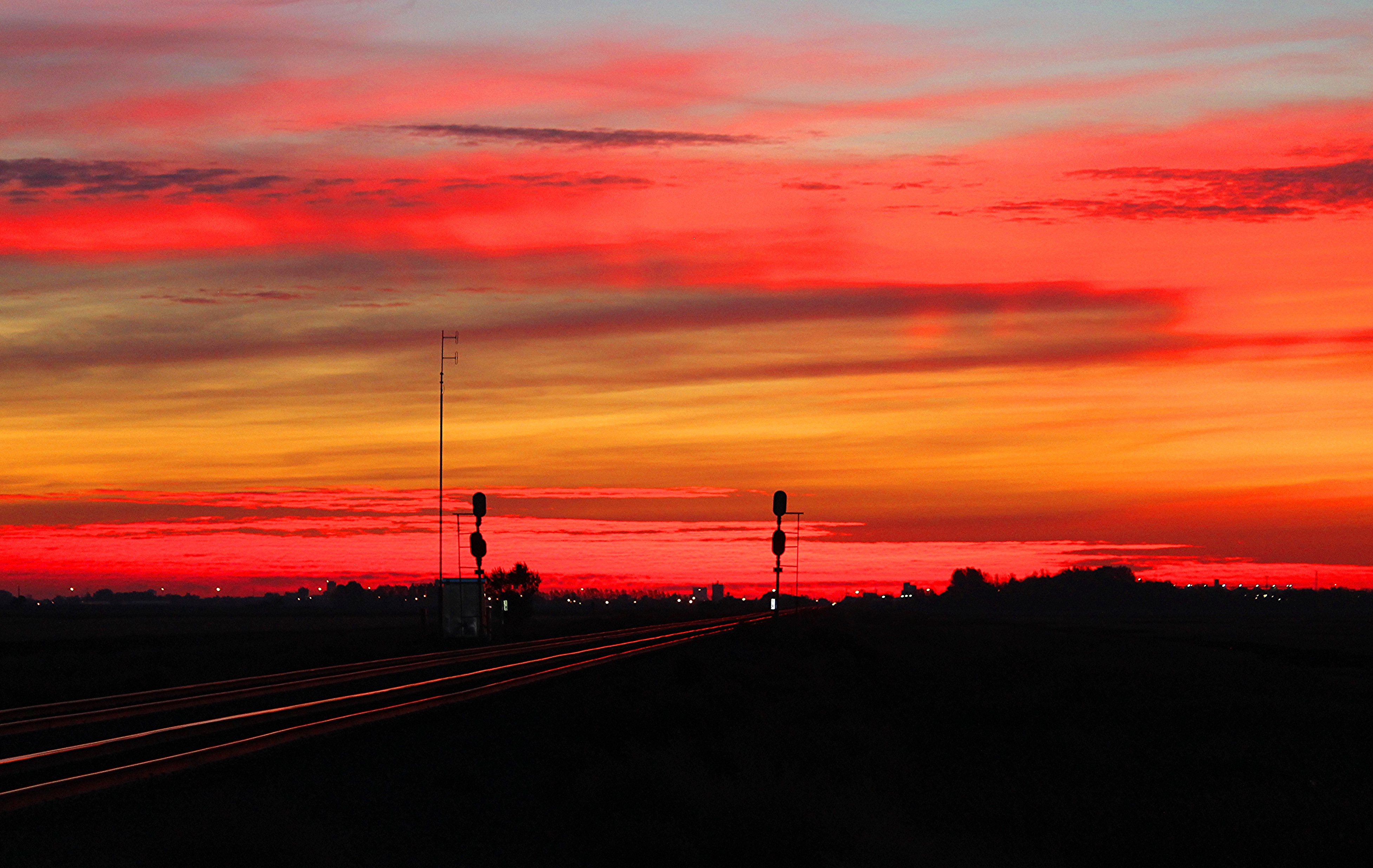
Memories of A Past Morning
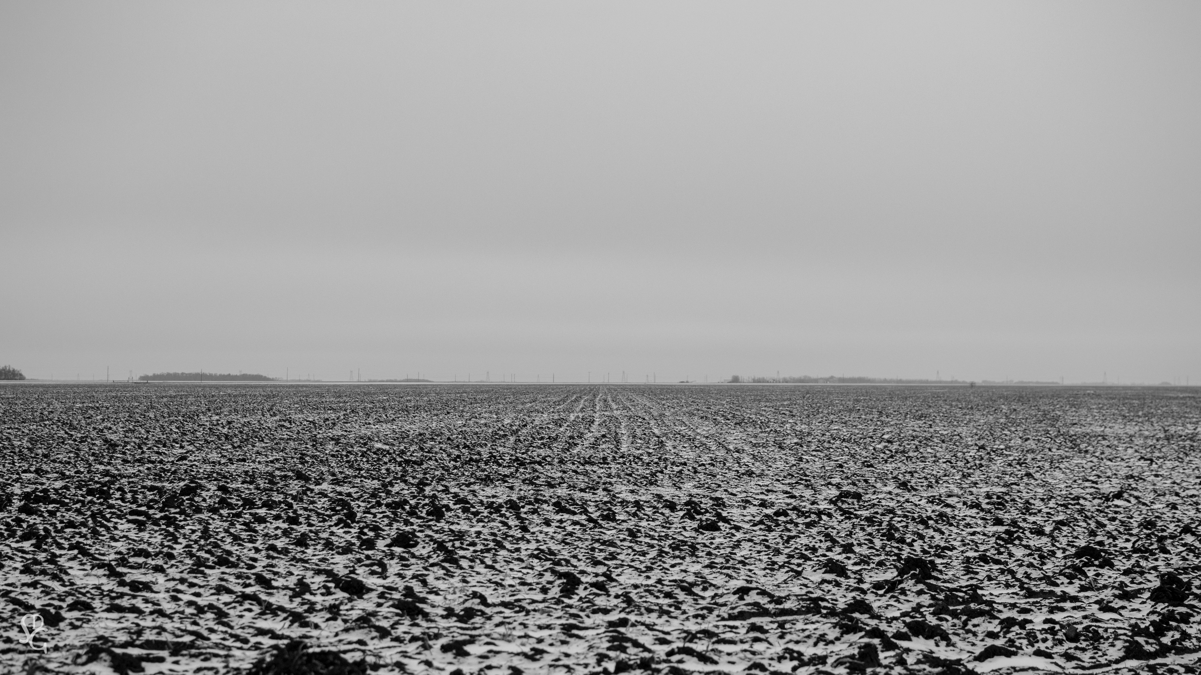
Rather Flat

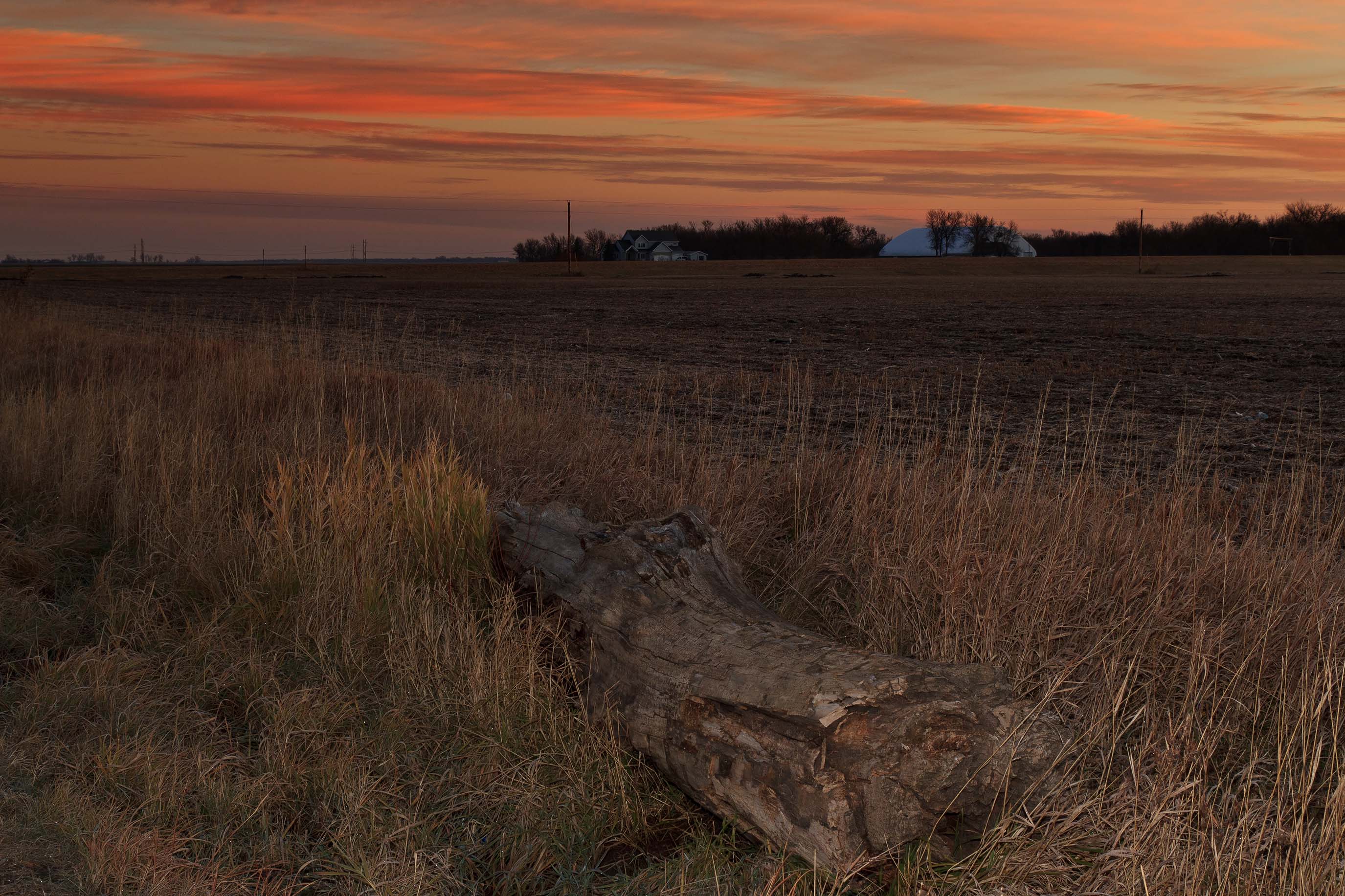
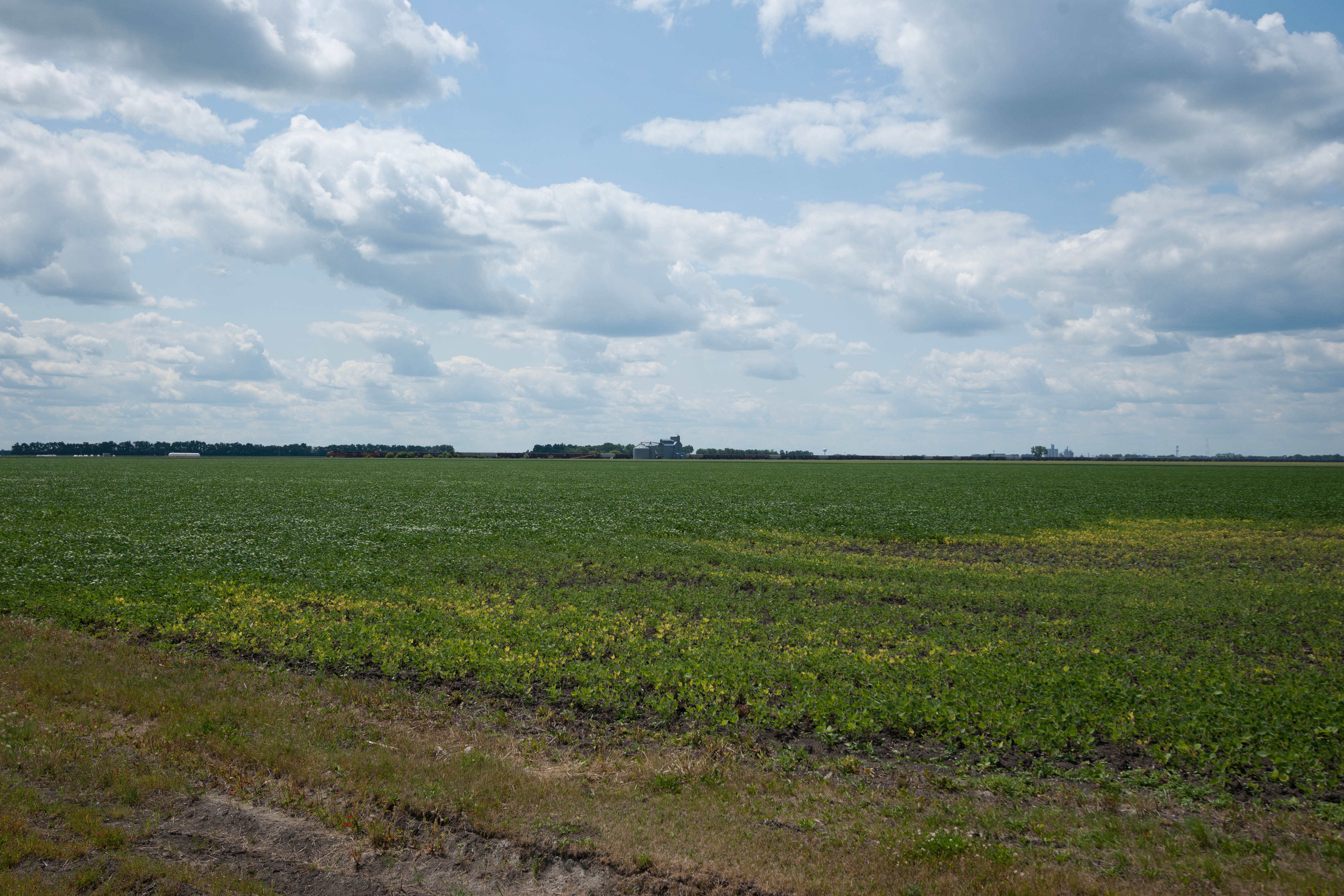
Fargo Countryside
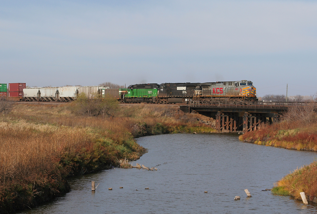
kcs4601mapleton-1
No Snow No Storms
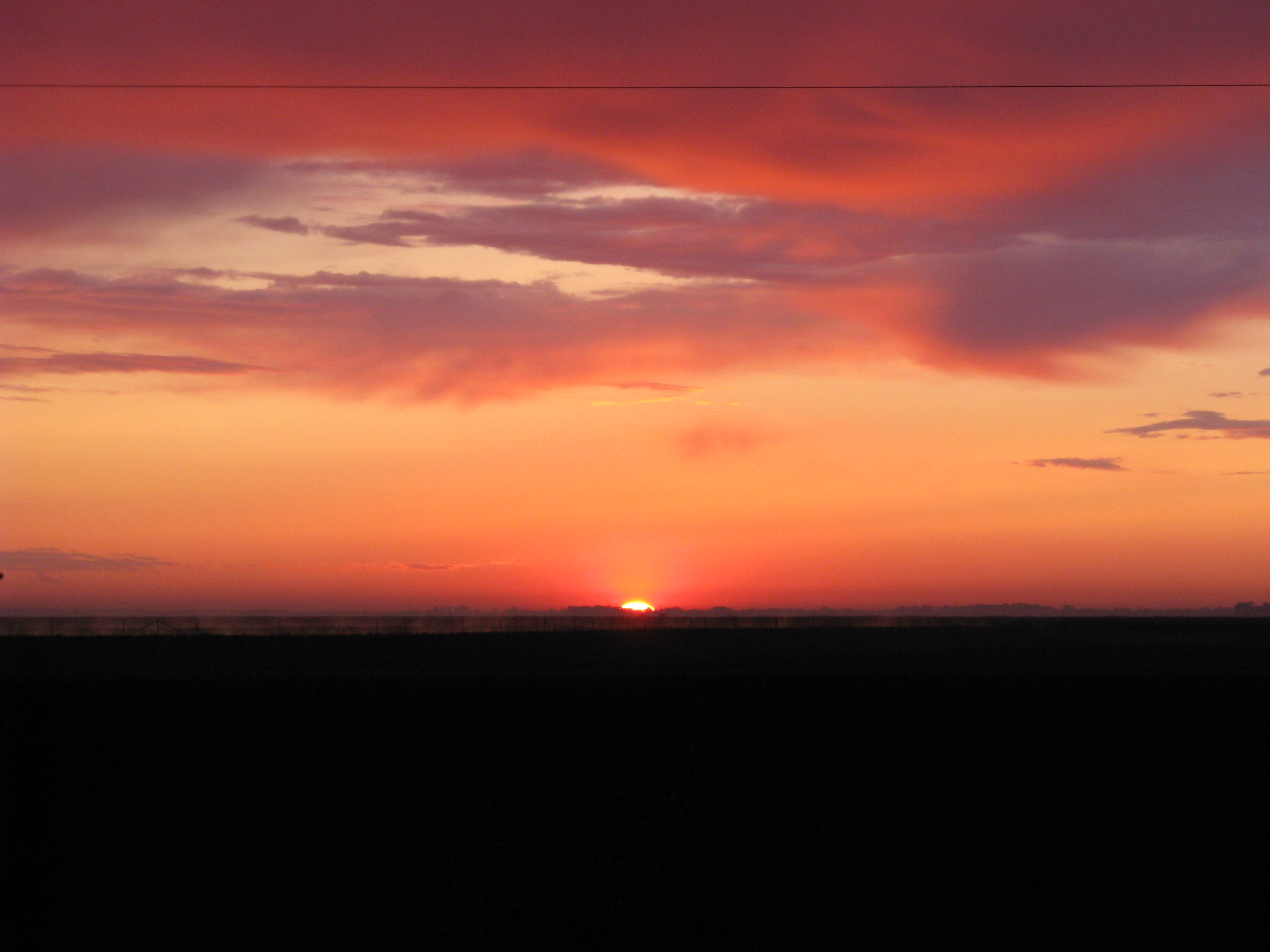
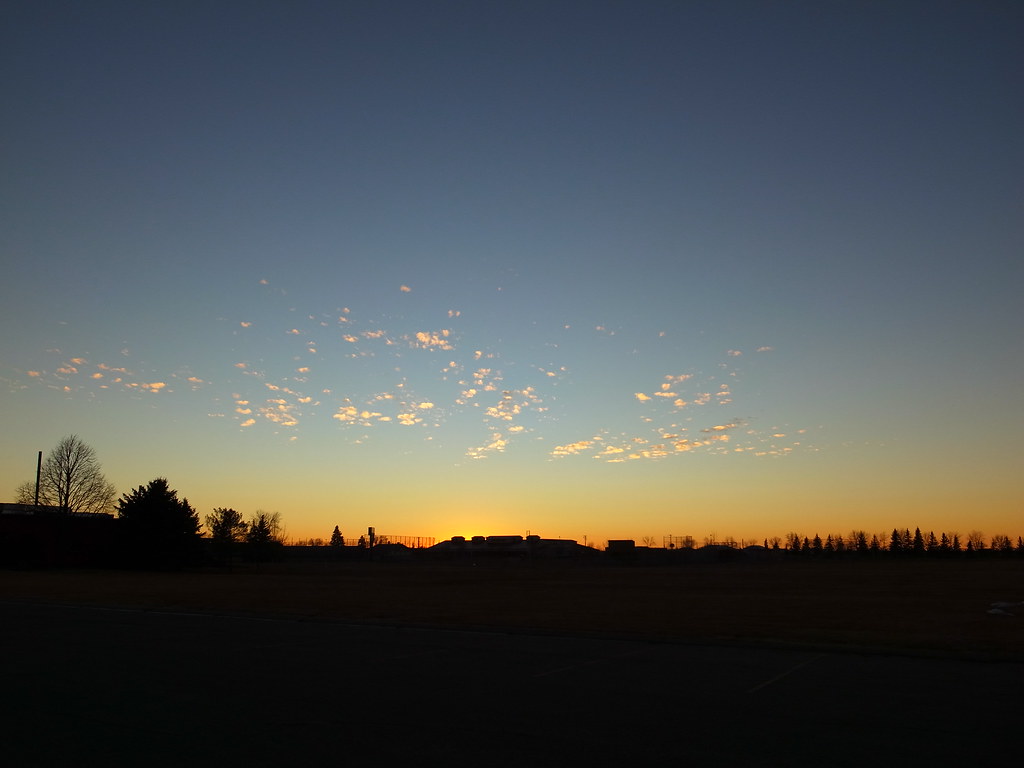
North Dakota sunrise
Ready for takeoff from Fargo, 28 March 2008
Mapleton, ND

Reile's Acres, North Dakota
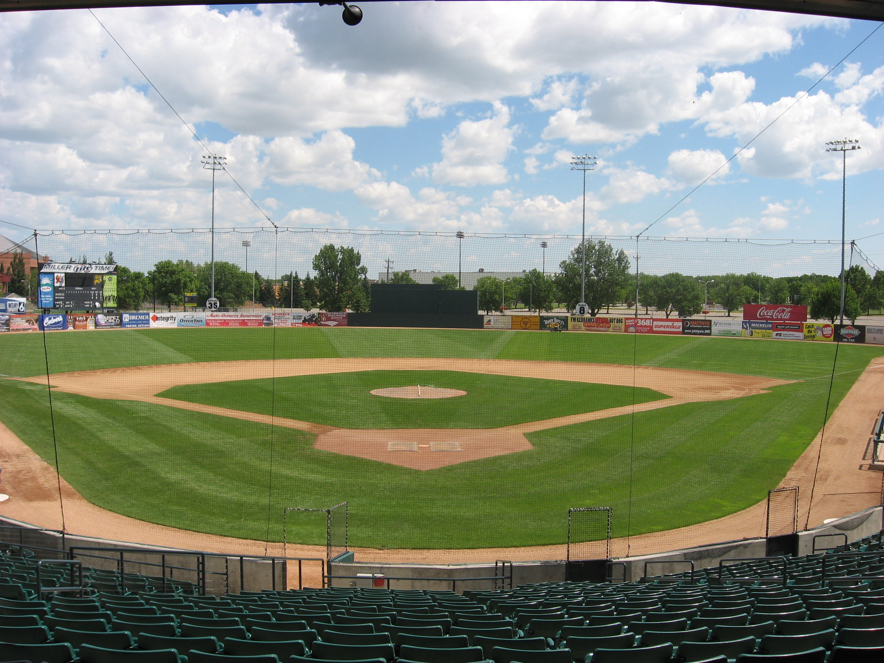
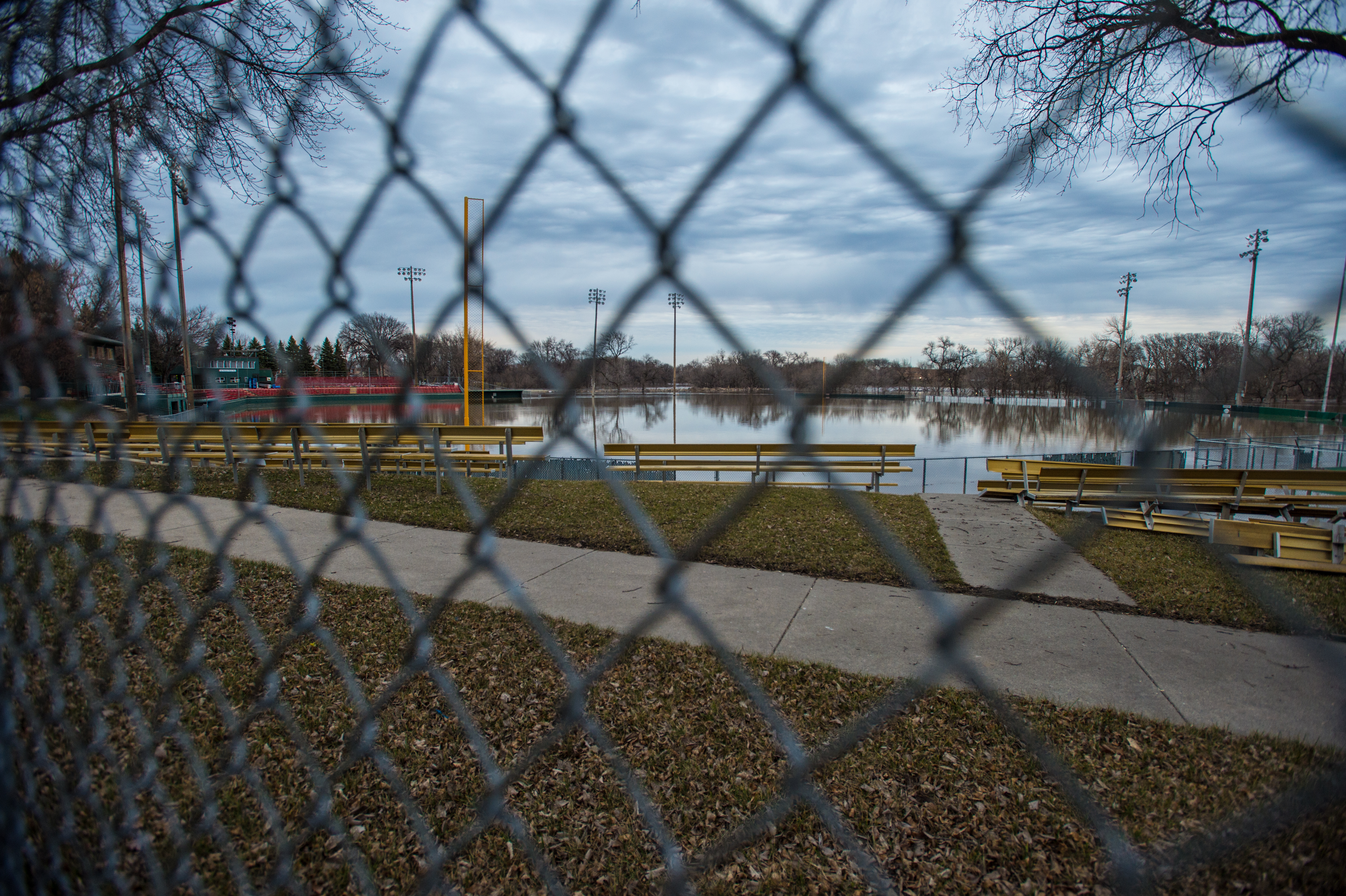
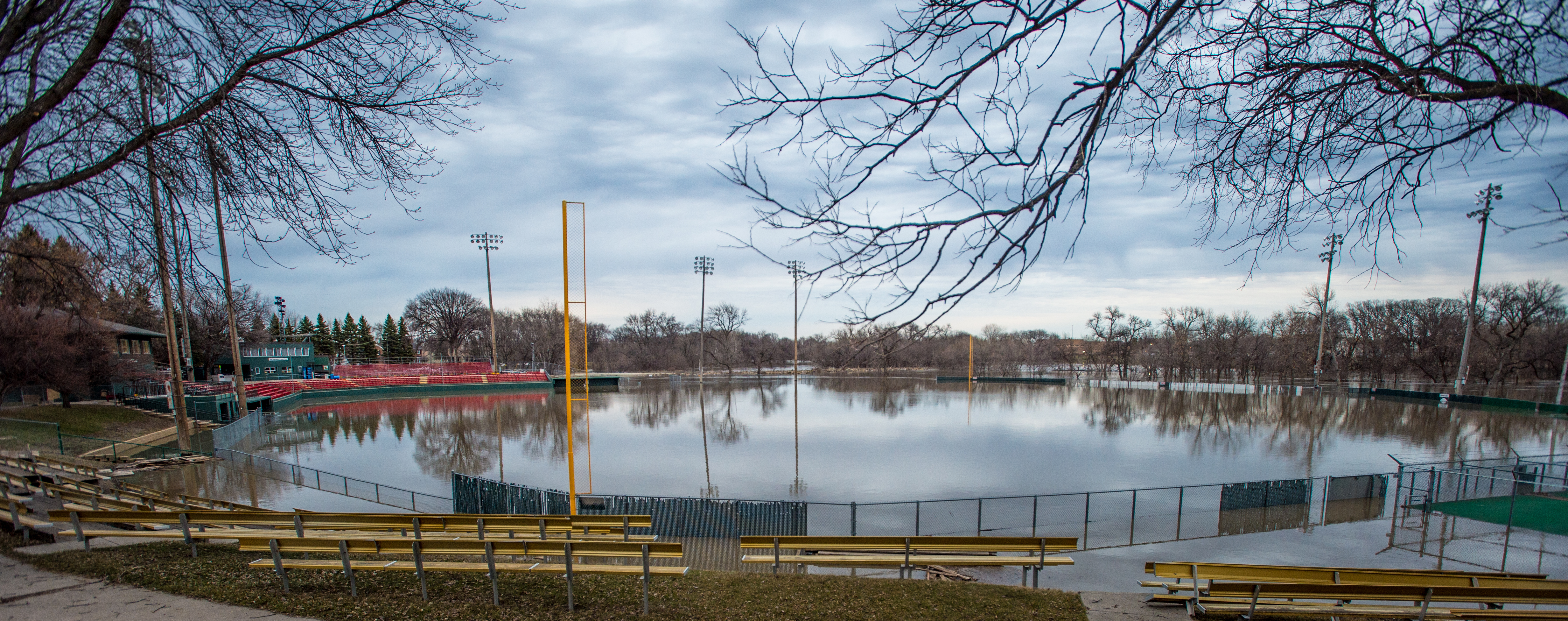
Newman Outdoor Field, Fargo, ND 2
Dalrymple Spur, North Dakota
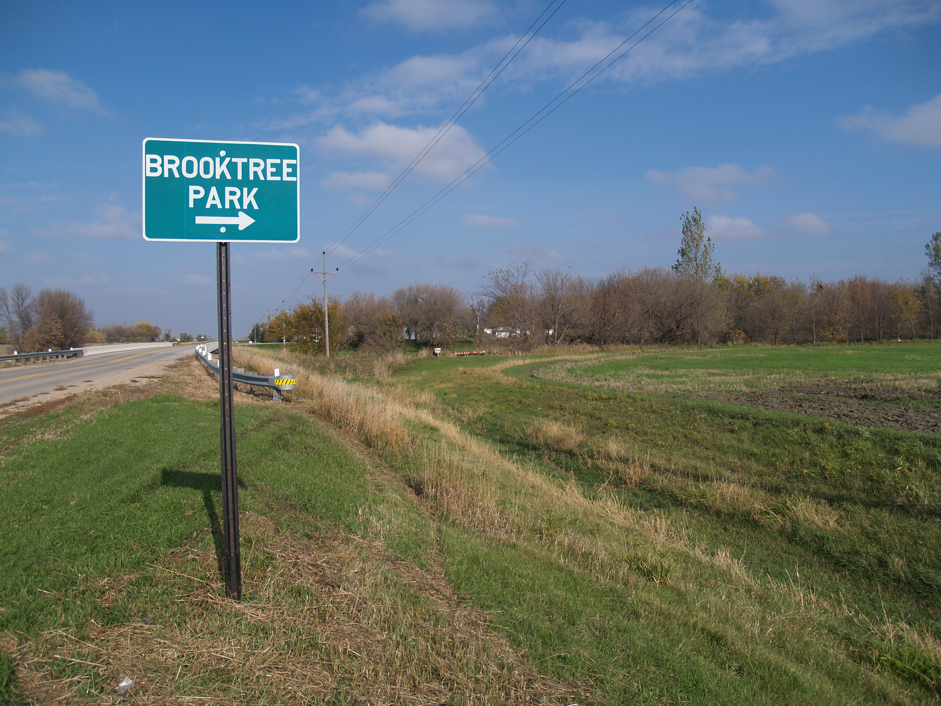
Brooktree Park, North Dakota
A North Fargo Winter - Taken from the building site of the "new dorm" later titled "Living Learning Center"
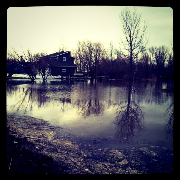
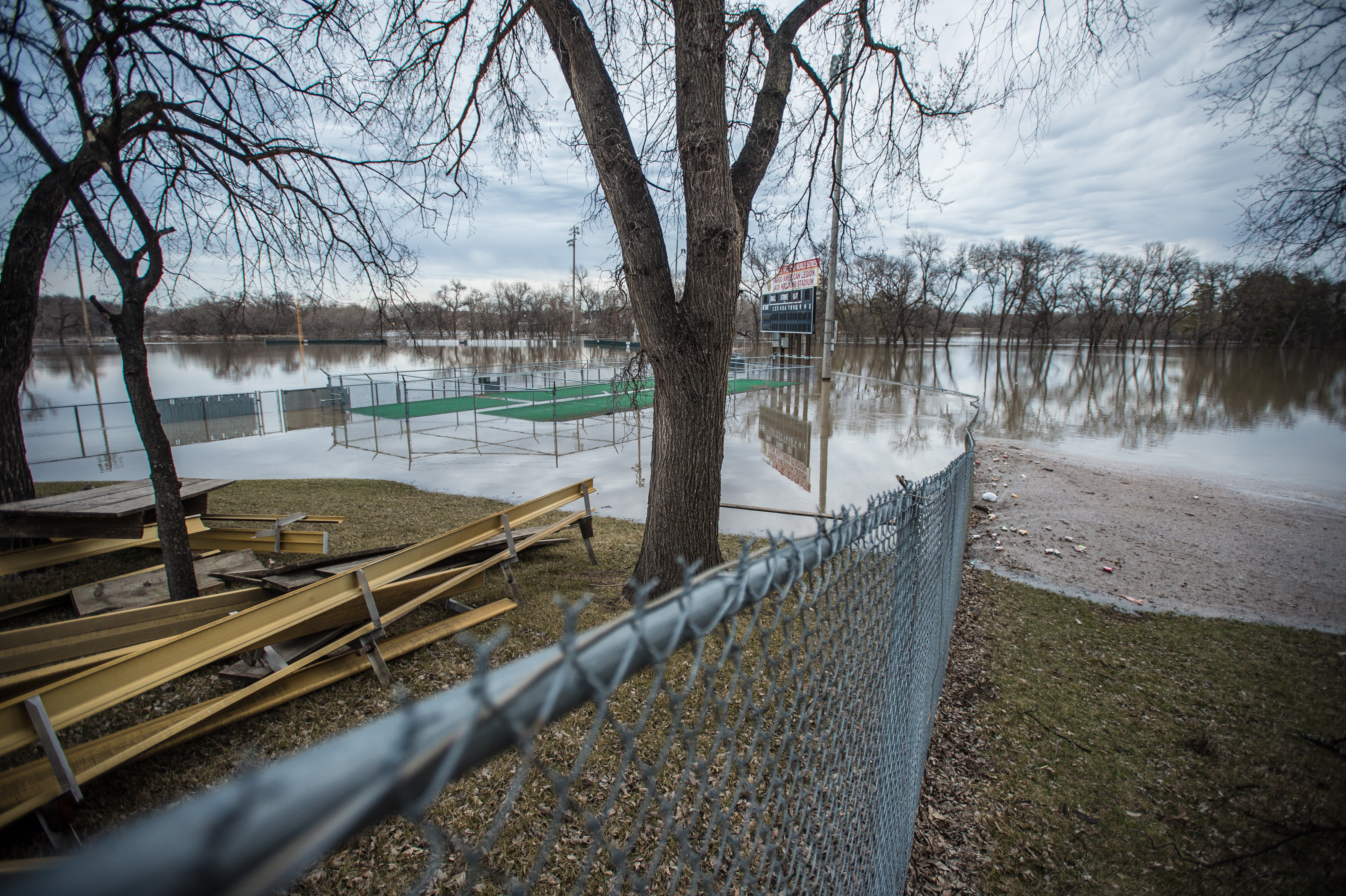
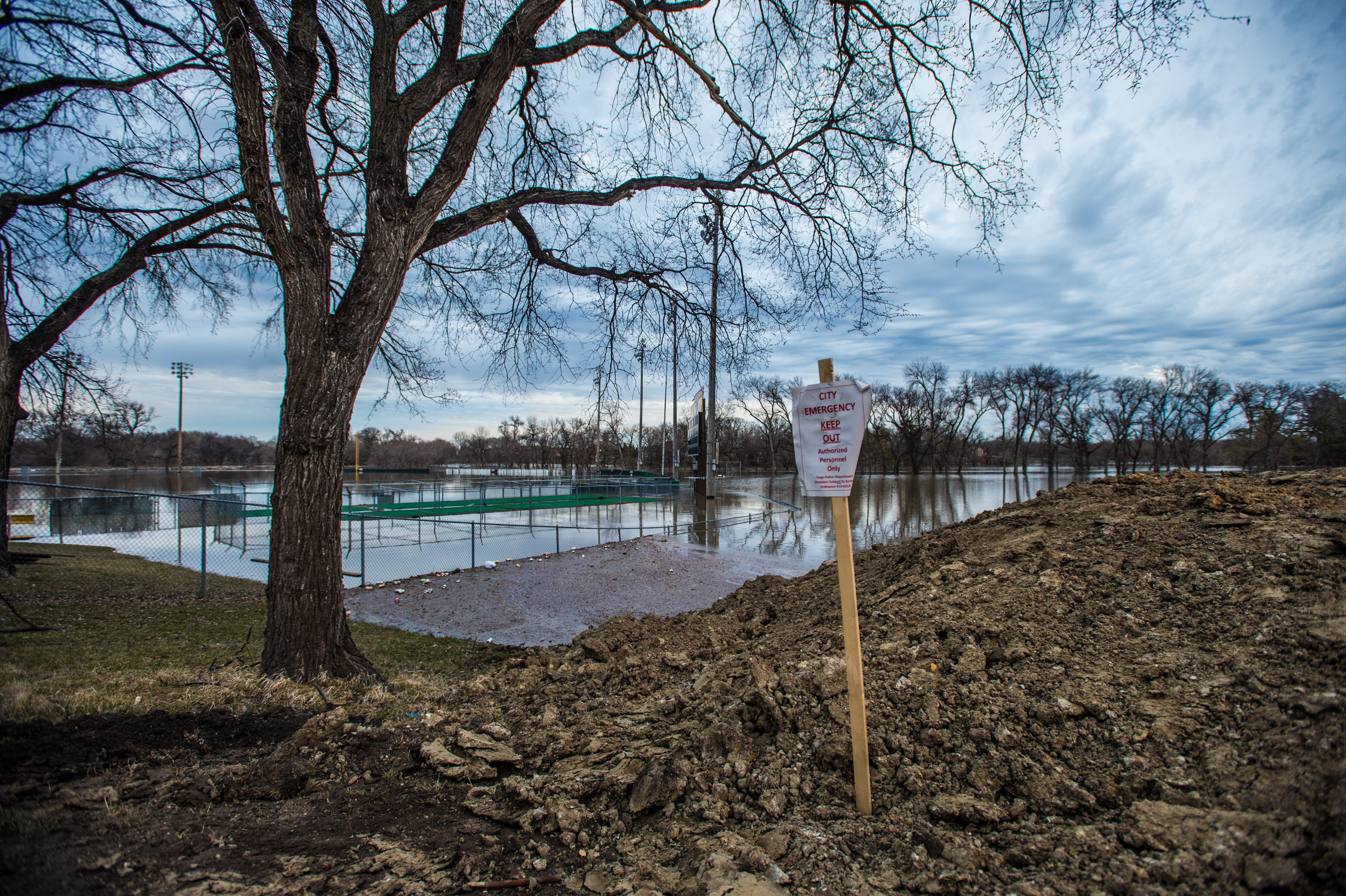
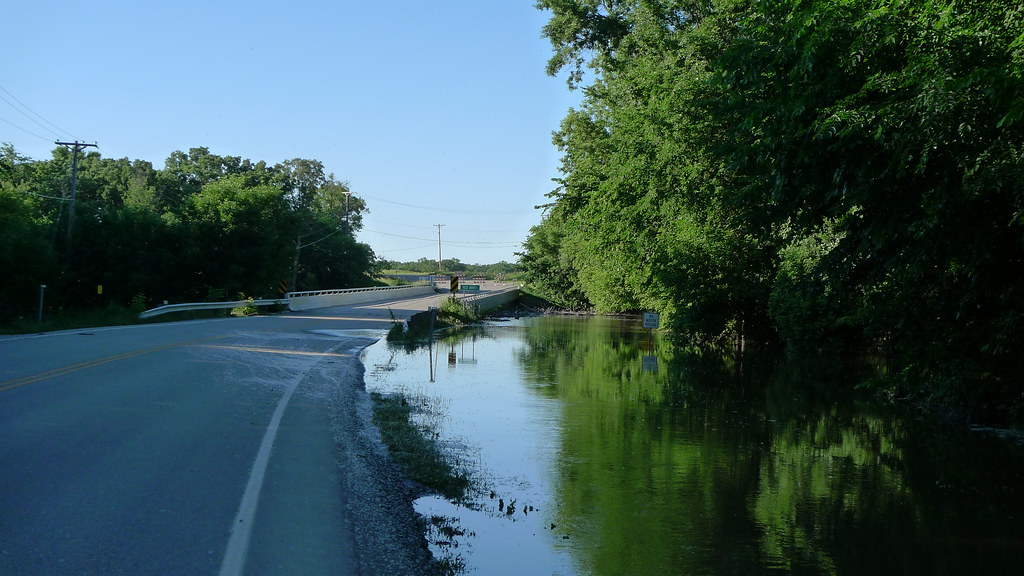
#flooding
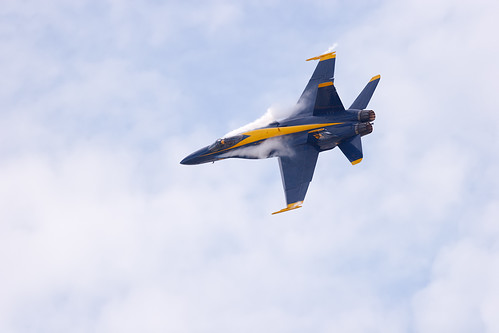
Strake Vortices
Almost across the bridge

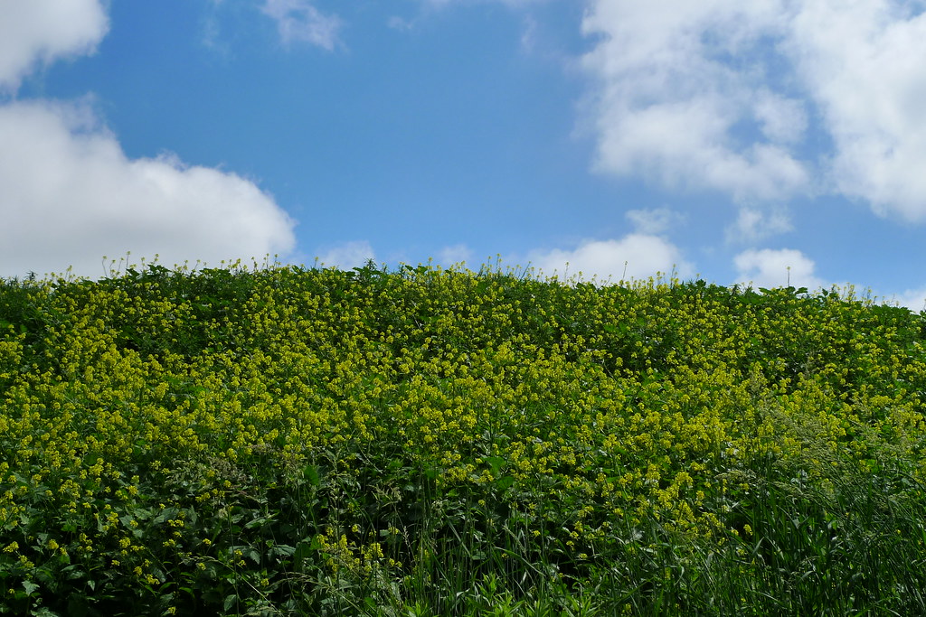
#fargo #nd #wheat #hdr #aesthetestudios #instagood #igdaily #iphone #iphone5 #iphoneonly #tweegram #photooftheday #iphonesia #instamood #igers #picoftheday #instagramhub #instadaily #bestoftheday #follow #instahub #followme #photo #webstagram
Iron Spirits exhibit
Dirt Mound
Topographic Map of Raymond, ND, USA
Find elevation by address:

Places in Raymond, ND, USA:
Places near Raymond, ND, USA:
Prosper
1262 Main Ave W
Mapleton
638 5th St Ct Nw
355 7th St Nw
295 6th St Nw
365 6th St Nw
650 2nd Ave Nw
Barnes
3764 164th Ave Se
West Fargo
1st St, West Fargo, ND, USA
802 Sugar Dr
837 Leonards Way
107 Drake Ave
Argusville
1005 45th St S
Bluestem Drive
Village West
3806 3rd St E
Recent Searches:
- Elevation of Congressional Dr, Stevensville, MD, USA
- Elevation of Bellview Rd, McLean, VA, USA
- Elevation of Stage Island Rd, Chatham, MA, USA
- Elevation of Shibuya Scramble Crossing, 21 Udagawacho, Shibuya City, Tokyo -, Japan
- Elevation of Jadagoniai, Kaunas District Municipality, Lithuania
- Elevation of Pagonija rock, Kranto 7-oji g. 8"N, Kaunas, Lithuania
- Elevation of Co Rd 87, Jamestown, CO, USA
- Elevation of Tenjo, Cundinamarca, Colombia
- Elevation of Côte-des-Neiges, Montreal, QC H4A 3J6, Canada
- Elevation of Bobcat Dr, Helena, MT, USA